Quick links
25001 products
-
Die Erst General Tafel Die Beschreibung Und Den Circkel Des Gantzen Erdtrichs Und Meers Innhaltende in 1588
 Die Erst General Tafel Die Beschreibung Und Den Circkel Des Gantzen Erdtrichs Und Meers Innhaltende in 1588
- Regular price
-
From
$32.95 - Regular price
-
$51.99 - Sale price
-
From
$32.95
-
Asyūt Province Cadastral Maps = Muḥāfaẓat Asyūṭ in 1905
 Asyūt Province Cadastral Maps = Muḥāfaẓat Asyūṭ in 1905
- Regular price
-
From
$34.95 - Regular price
-
$49.99 - Sale price
-
From
$34.95
-
Fragmentary Terrestrial Globe Gores in 1517
 Fragmentary Terrestrial Globe Gores in 1517
- Regular price
-
From
$32.95 - Regular price
-
$51.99 - Sale price
-
From
$32.95
-
Carte De La Nouvelle Angleterre, Nouvelle Yorck, Et Pensilvanie : Pour Servir à L'histoire Générale Des Voyages 1757
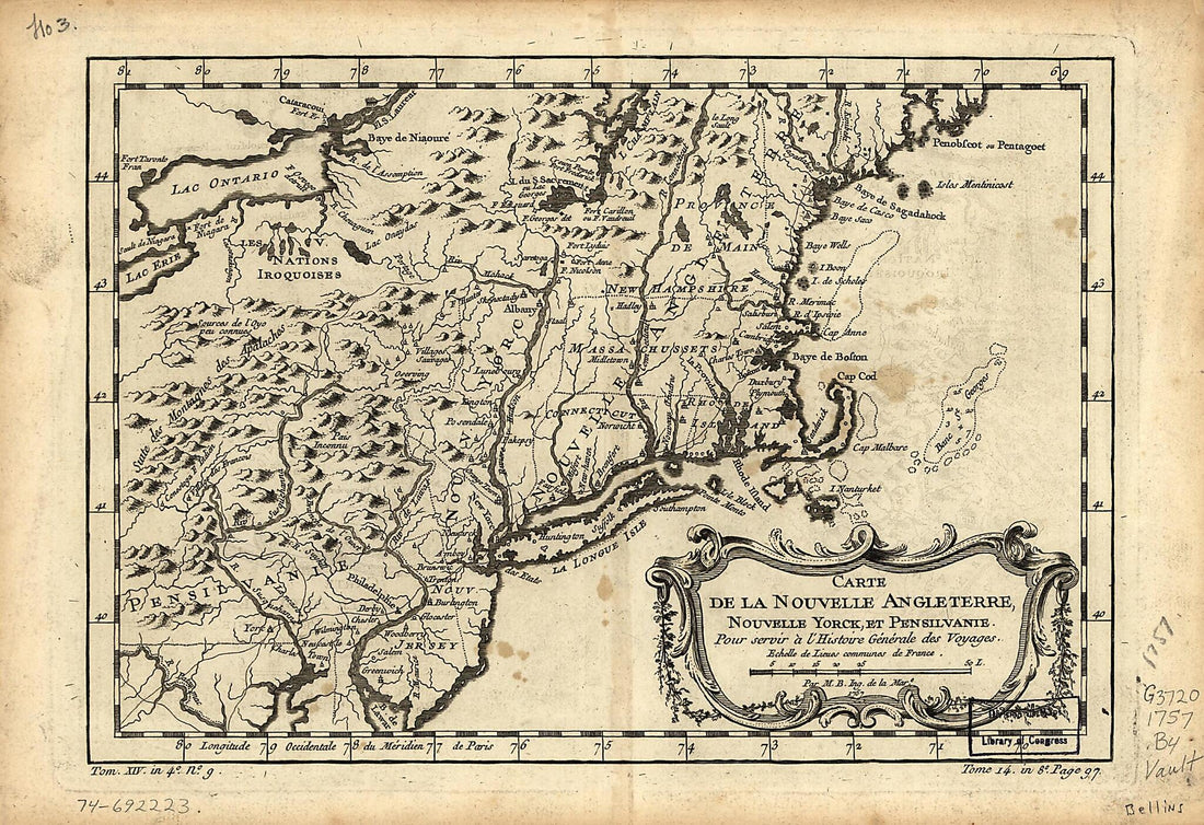 Carte De La Nouvelle Angleterre, Nouvelle Yorck, Et Pensilvanie : Pour Servir à L'histoire Générale Des Voyages 1757
- Regular price
-
From
$19.95 - Regular price
-
$29.95 - Sale price
-
From
$19.95
-
Petermann's Geographische Mittheilungen. Jahrgan in 1861, Tafel 12
 Petermann's Geographische Mittheilungen. Jahrgan in 1861, Tafel 12
- Regular price
-
From
$23.95 - Regular price
-
$36.95 - Sale price
-
From
$23.95
-
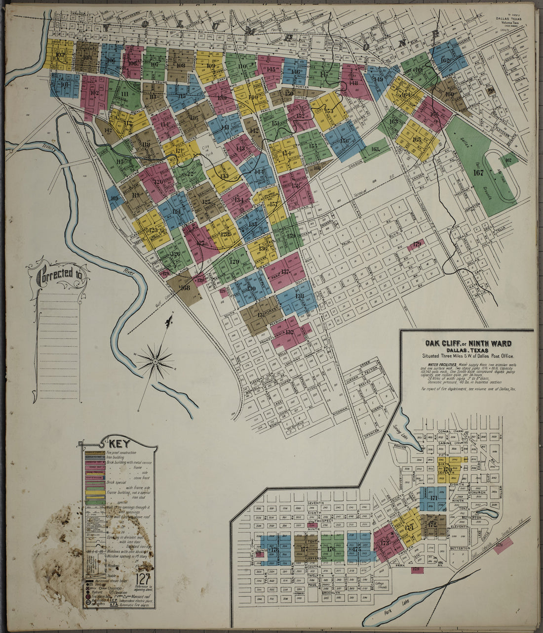
Illustrated Atlas of the City of Richmond, Va in 1877
 Illustrated Atlas of the City of Richmond, Va in 1877
- Regular price
-
From
$19.95 - Regular price
-
$29.95 - Sale price
-
From
$19.95
-
A Map of South America : According to the Best Authorities in 1796
 A Map of South America : According to the Best Authorities in 1796
- Regular price
-
From
$23.95 - Regular price
-
$36.95 - Sale price
-
From
$23.95
-
Nieuwe Afteekening Van Het Eyland Curacao Vertoonende Alle Desfelfs Gelecgentheeden Mitsgaders De Haven Van St. Anna En't Fort Amsterdam Int Grood in 1716
 Nieuwe Afteekening Van Het Eyland Curacao Vertoonende Alle Desfelfs Gelecgentheeden Mitsgaders De Haven Van St. Anna En't Fort Amsterdam Int Grood in 1716
- Regular price
-
From
$34.95 - Regular price
-
$49.99 - Sale price
-
From
$34.95
-
Map of the City of Washington Showing the Locations of Street Railways In Operation and Chartered Jan. 1, 1895 : to Accompany the Annual Report of the Engineer Department, D.C
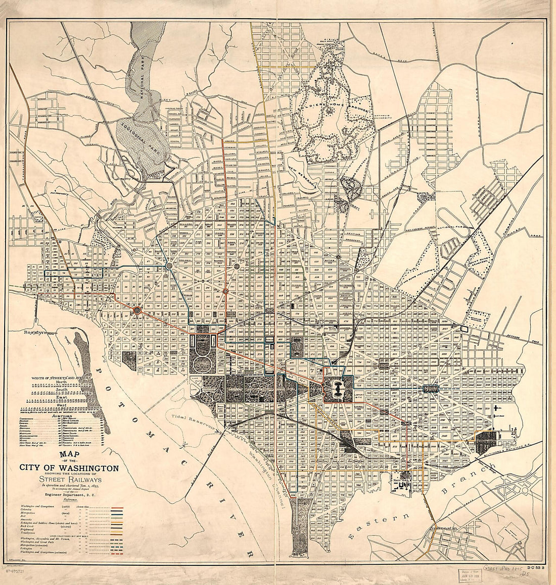 Map of the City of Washington Showing the Locations of Street Railways In Operation and Chartered Jan. 1, 1895 : to Accompany the Annual Report of the Engineer Department, D.C
- Regular price
-
From
$34.95 - Regular price
-
$49.99 - Sale price
-
From
$34.95
-
го (восточного) берега полуострова Камчатки.) in 1883
 го (восточного) берега полуострова Камчатки.) in 1883
- Regular price
-
From
$41.95 - Regular price
-
$66.99 - Sale price
-
From
$41.95
-
Map of Maine : Constructed From the Most Correct Surveys With Sectional Distances and Elevations, Or Level, of the St. Croix River From Calais Bridge Deduced From the States Survey in 1843
 Map of Maine : Constructed From the Most Correct Surveys With Sectional Distances and Elevations, Or Level, of the St. Croix River From Calais Bridge Deduced From the States Survey in 1843
- Regular price
-
From
$32.95 - Regular price
-
$51.99 - Sale price
-
From
$32.95
-
Plan Kostromskogo Namestnichestva Gorodu Lukhu. (План Костромского наместничества городу Луху.) 1859
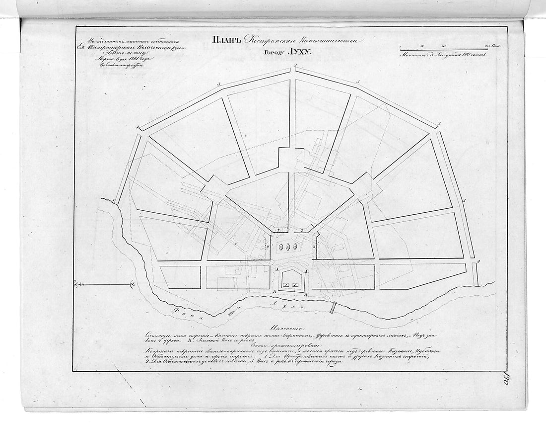 Plan Kostromskogo Namestnichestva Gorodu Lukhu. (План Костромского наместничества городу Луху.) 1859
- Regular price
-
From
$19.95 - Regular price
-
$29.95 - Sale price
-
From
$19.95


