Quick links
25001 products
-
Map of the Dixie Highway. (Map of the Dixie Highway: Showing Every City, Town, Village and Hamlet Throughout Its Entire Length) 1915
 Map of the Dixie Highway. (Map of the Dixie Highway: Showing Every City, Town, Village and Hamlet Throughout Its Entire Length) 1915
- Regular price
-
From
$23.95 - Regular price
-
$37.99 - Sale price
-
From
$23.95
-
Lloyd's Map of the Southern States Showing All the Railroads, Their Stations & Distances, Also the Counties, Towns, Villages, Harbors, Rivers, and Forts in 1862
 Lloyd's Map of the Southern States Showing All the Railroads, Their Stations & Distances, Also the Counties, Towns, Villages, Harbors, Rivers, and Forts in 1862
- Regular price
-
From
$32.95 - Regular price
-
$51.99 - Sale price
-
From
$32.95
-
Map Showing the Distribution of Slaves In the Southern States 1860
 Map Showing the Distribution of Slaves In the Southern States 1860
- Regular price
-
From
$29.95 - Regular price
-
$46.95 - Sale price
-
From
$29.95
-
Map Showing the Distribution of the Slave Population of the Southern States of the United States. Compiled from the Census of 1860 1861
 Map Showing the Distribution of the Slave Population of the Southern States of the United States. Compiled from the Census of 1860 1861
- Regular price
-
From
$34.95 - Regular price
-
$49.99 - Sale price
-
From
$34.95
-
Indian Territory, With Part of the Adjoining State of Kansas 1866
 Indian Territory, With Part of the Adjoining State of Kansas 1866
- Regular price
-
From
$32.95 - Regular price
-
$51.99 - Sale price
-
From
$32.95
-
Map of the United States, Showing the Territory In Possession of the Federal Union, January, 1864
 Map of the United States, Showing the Territory In Possession of the Federal Union, January, 1864
- Regular price
-
From
$41.95 - Regular price
-
$66.99 - Sale price
-
From
$41.95
-
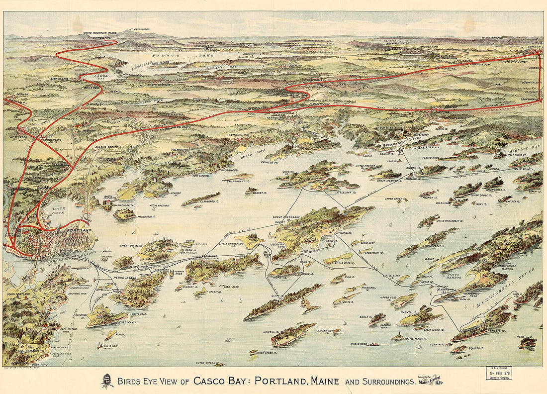
Bird's Eye View of Casco Bay, Portland, Maine, and Surroundings 1906
 Bird's Eye View of Casco Bay, Portland, Maine, and Surroundings 1906
- Regular price
-
From
$32.95 - Regular price
-
$51.99 - Sale price
-
From
$32.95
-
A Map of Massachusetts : from the Best Authorities 1796
 A Map of Massachusetts : from the Best Authorities 1796
- Regular price
-
From
$19.95 - Regular price
-
$29.95 - Sale price
-
From
$19.95
-
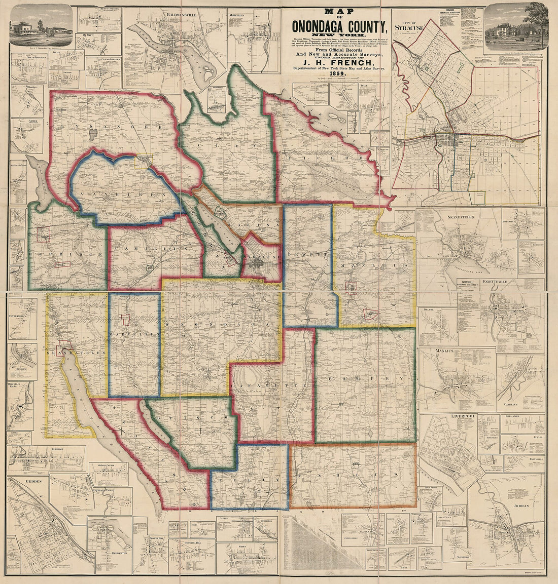
Map of Onondaga County, New York : Showing Military Townships and Their Names, Lot Lines, Numbers, and Dimensions, With Names of First Proprietors ... Location of Farm Houses and Names of Owners, and Separate Plans of the City of Syracuse and All the ...
 Map of Onondaga County, New York : Showing Military Townships and Their Names, Lot Lines, Numbers, and Dimensions, With Names of First Proprietors ... Location of Farm Houses and Names of Owners, and Separate Plans of the City of Syracuse and All the ...
- Regular price
-
From
$34.95 - Regular price
-
$49.99 - Sale price
-
From
$34.95
-
Reynolds's Political Map of the United States, Designed to Exhibit the Comparative Area of the Free and Slave States and the Territory Open to Slavery Or Freedom by the Repeal of the Missouri Compromise. (Political Map of the United States) 1856
 Reynolds's Political Map of the United States, Designed to Exhibit the Comparative Area of the Free and Slave States and the Territory Open to Slavery Or Freedom by the Repeal of the Missouri Compromise. (Political Map of the United States) 1856
- Regular price
-
From
$34.95 - Regular price
-
$49.99 - Sale price
-
From
$34.95
-
Map of the State of Ohio 1804
 Map of the State of Ohio 1804
- Regular price
-
From
$27.95 - Regular price
-
$42.95 - Sale price
-
From
$27.95
-
Map of Warren County, New Jersey 1852
 Map of Warren County, New Jersey 1852
- Regular price
-
From
$32.95 - Regular price
-
$51.99 - Sale price
-
From
$32.95


