Quick links
25001 products
-
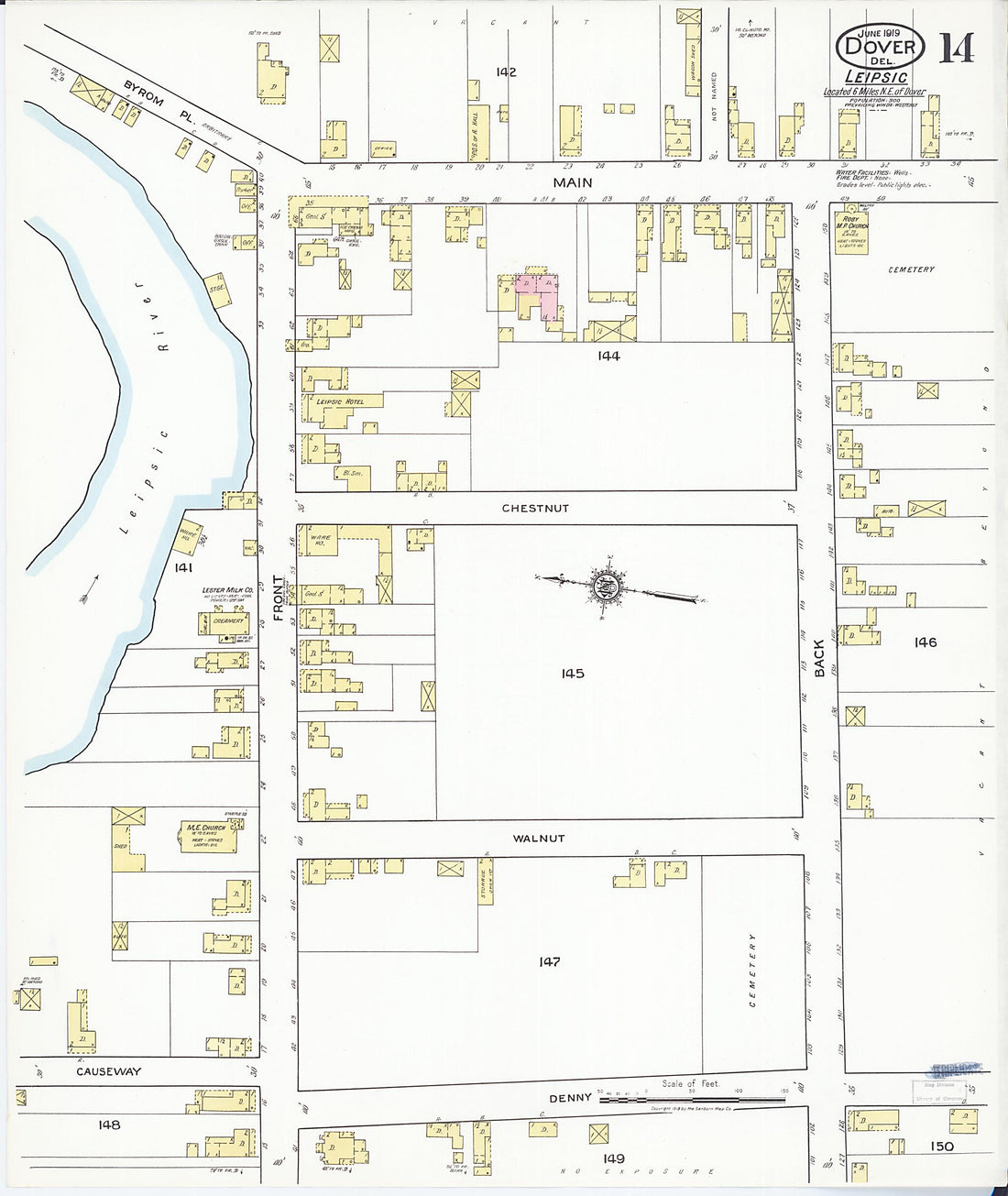 Dover, Kent County, Delaware 1919 (Sheet 14 of 15)Dover, Kent County, Delaware 1919 (Sheet 14 of 15)
- Regular price
-
$39.95 $83.95 - Regular price
-
$34.95 - Sale price
-
$39.95 $83.95
-
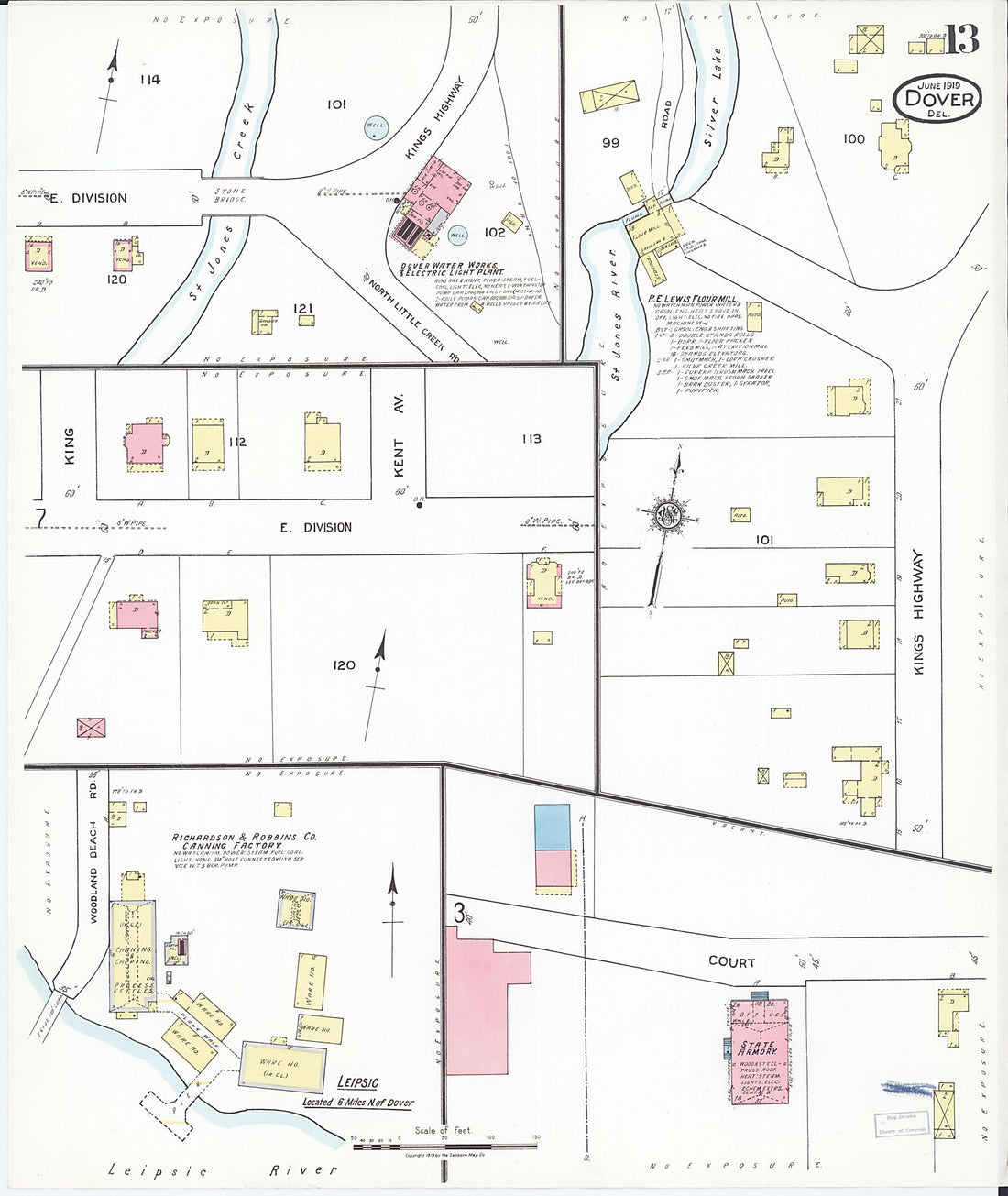 Dover, Kent County, Delaware 1919 (Sheet 13 of 15)Dover, Kent County, Delaware 1919 (Sheet 13 of 15)
- Regular price
-
$39.95 $83.95 - Regular price
-
$34.95 - Sale price
-
$39.95 $83.95
-
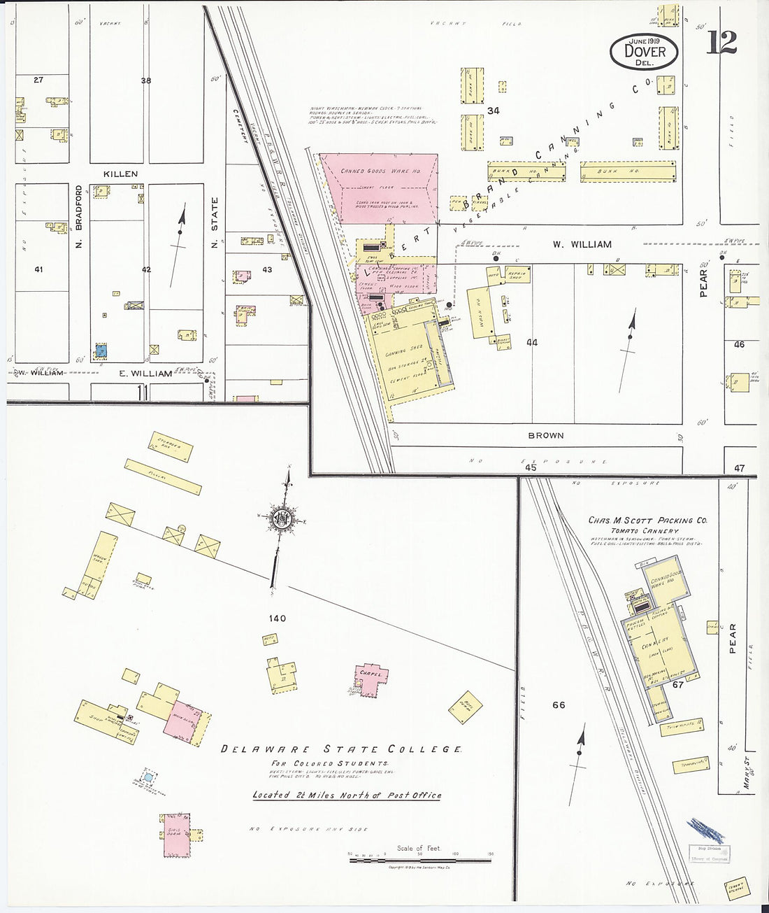 Dover, Kent County, Delaware 1919 (Sheet 12 of 15)Dover, Kent County, Delaware 1919 (Sheet 12 of 15)
- Regular price
-
$39.95 $83.95 - Regular price
-
$34.95 - Sale price
-
$39.95 $83.95
-
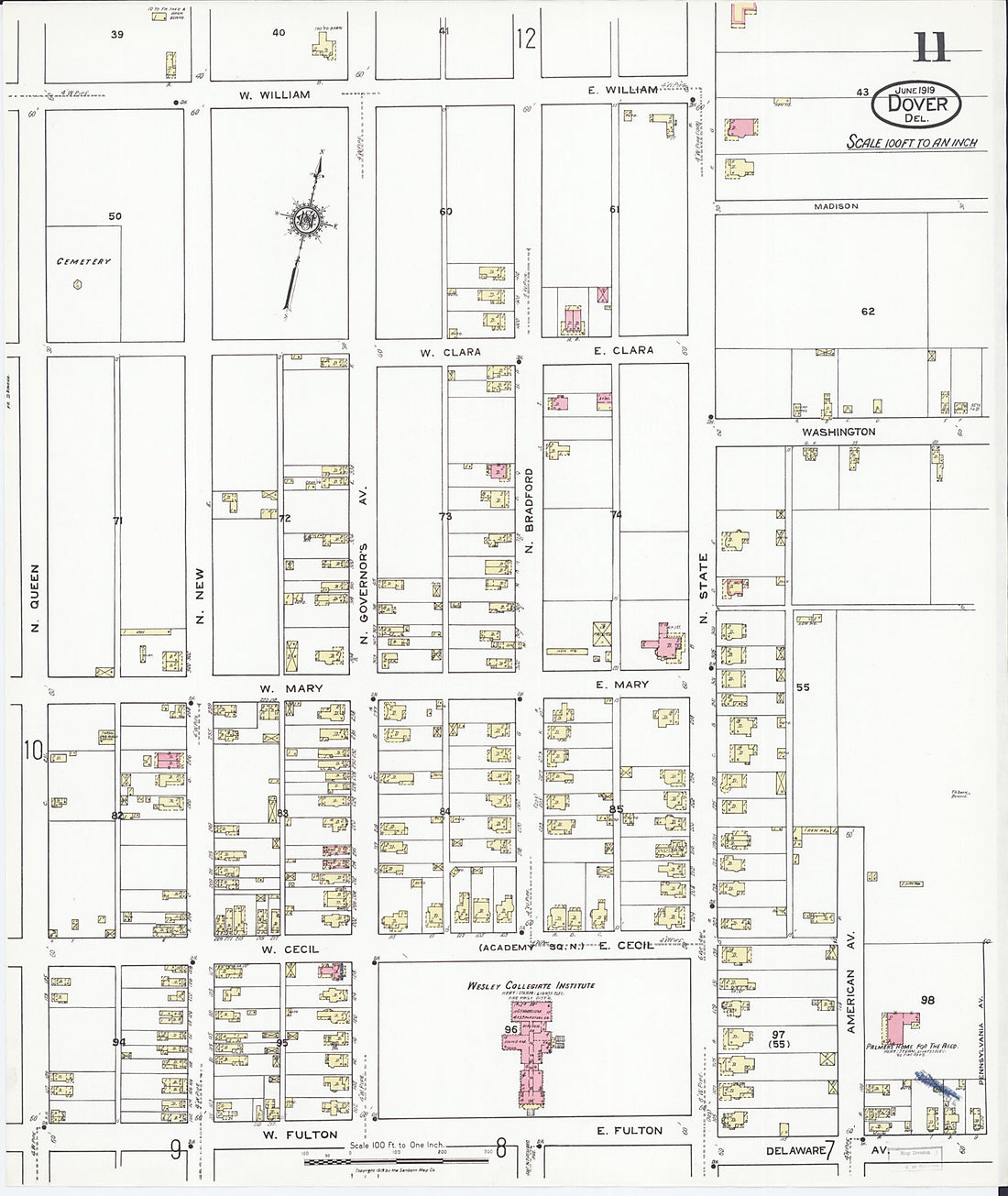 Dover, Kent County, Delaware 1919 (Sheet 11 of 15)Dover, Kent County, Delaware 1919 (Sheet 11 of 15)
- Regular price
-
$39.95 $83.95 - Regular price
-
$34.95 - Sale price
-
$39.95 $83.95
-
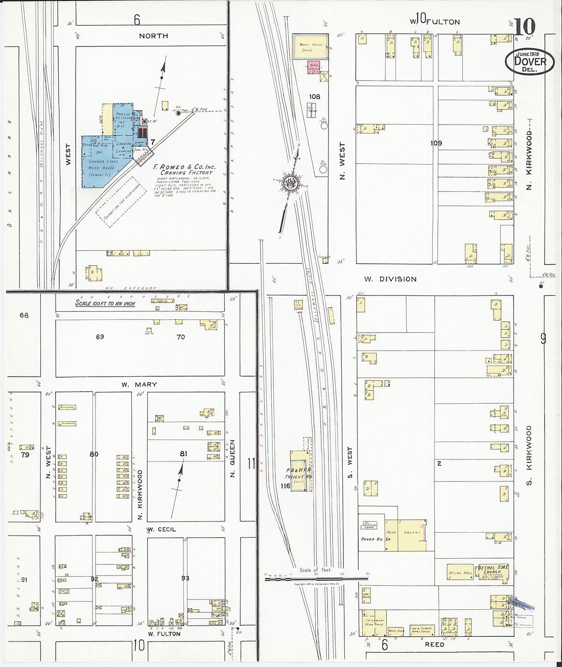 Dover, Kent County, Delaware 1919 (Sheet 10 of 15)Dover, Kent County, Delaware 1919 (Sheet 10 of 15)
- Regular price
-
$39.95 $83.95 - Regular price
-
$34.95 - Sale price
-
$39.95 $83.95
-
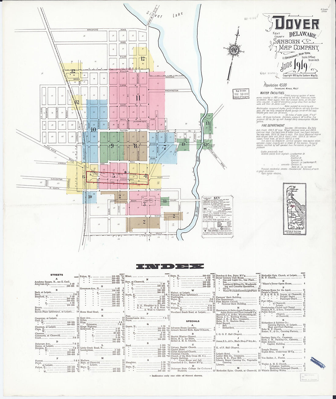 Dover, Kent County, Delaware 1919 (Sheet 1 of 15)Dover, Kent County, Delaware 1919 (Sheet 1 of 15)
- Regular price
-
$39.95 $83.95 - Regular price
-
$34.95 - Sale price
-
$39.95 $83.95
-
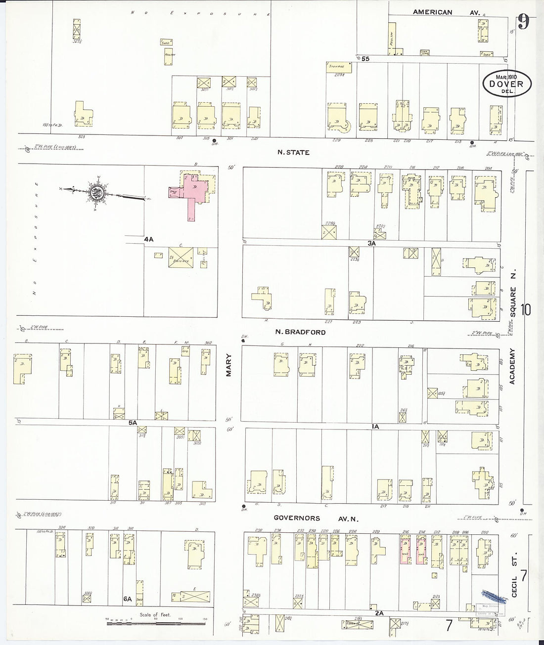 Dover, Kent County, Delaware 1910 (Sheet 9 of 11)Dover, Kent County, Delaware 1910 (Sheet 9 of 11)
- Regular price
-
$39.95 $83.95 - Regular price
-
$34.95 - Sale price
-
$39.95 $83.95
-
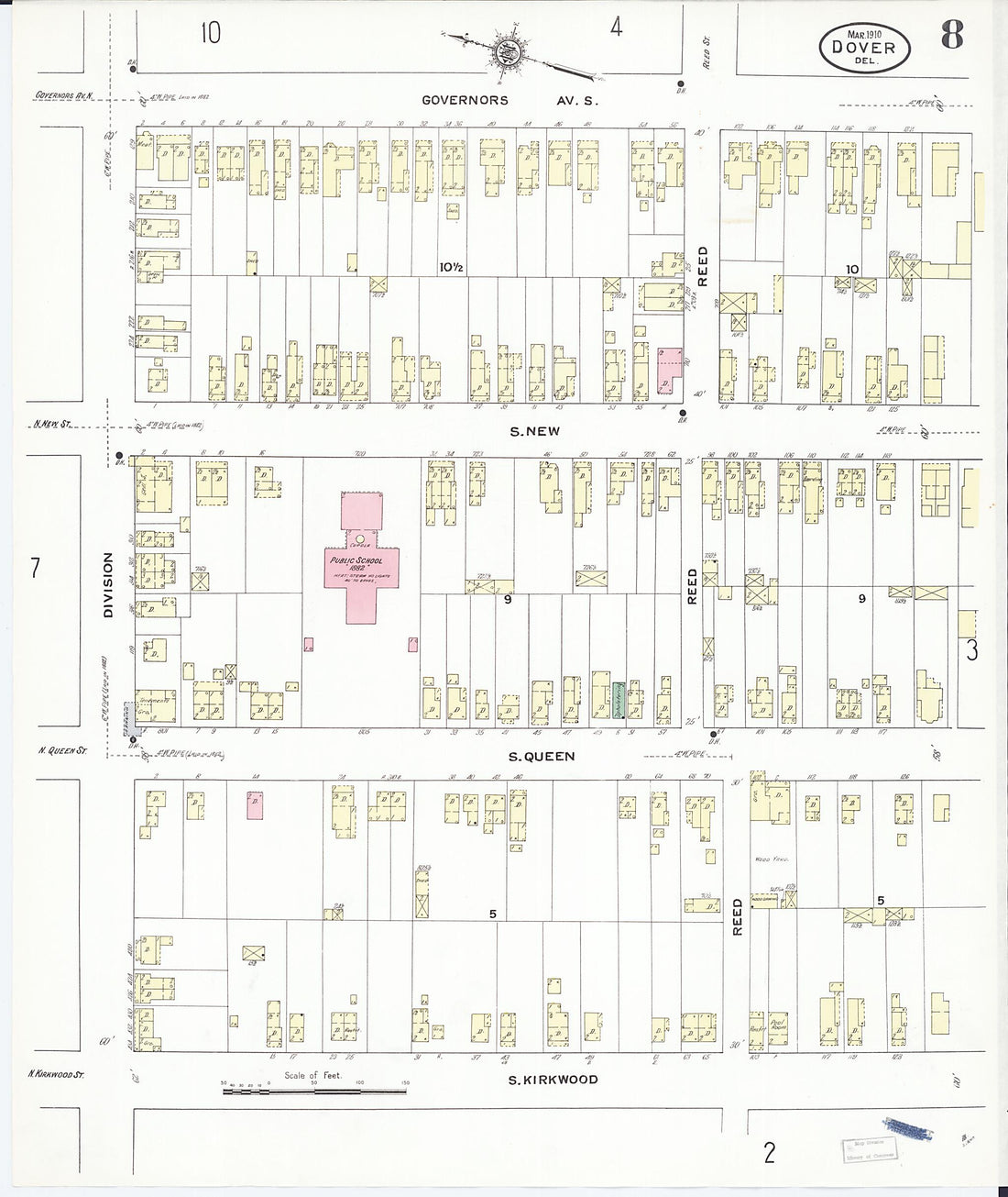 Dover, Kent County, Delaware 1910 (Sheet 8 of 11)Dover, Kent County, Delaware 1910 (Sheet 8 of 11)
- Regular price
-
$39.95 $83.95 - Regular price
-
$34.95 - Sale price
-
$39.95 $83.95
-
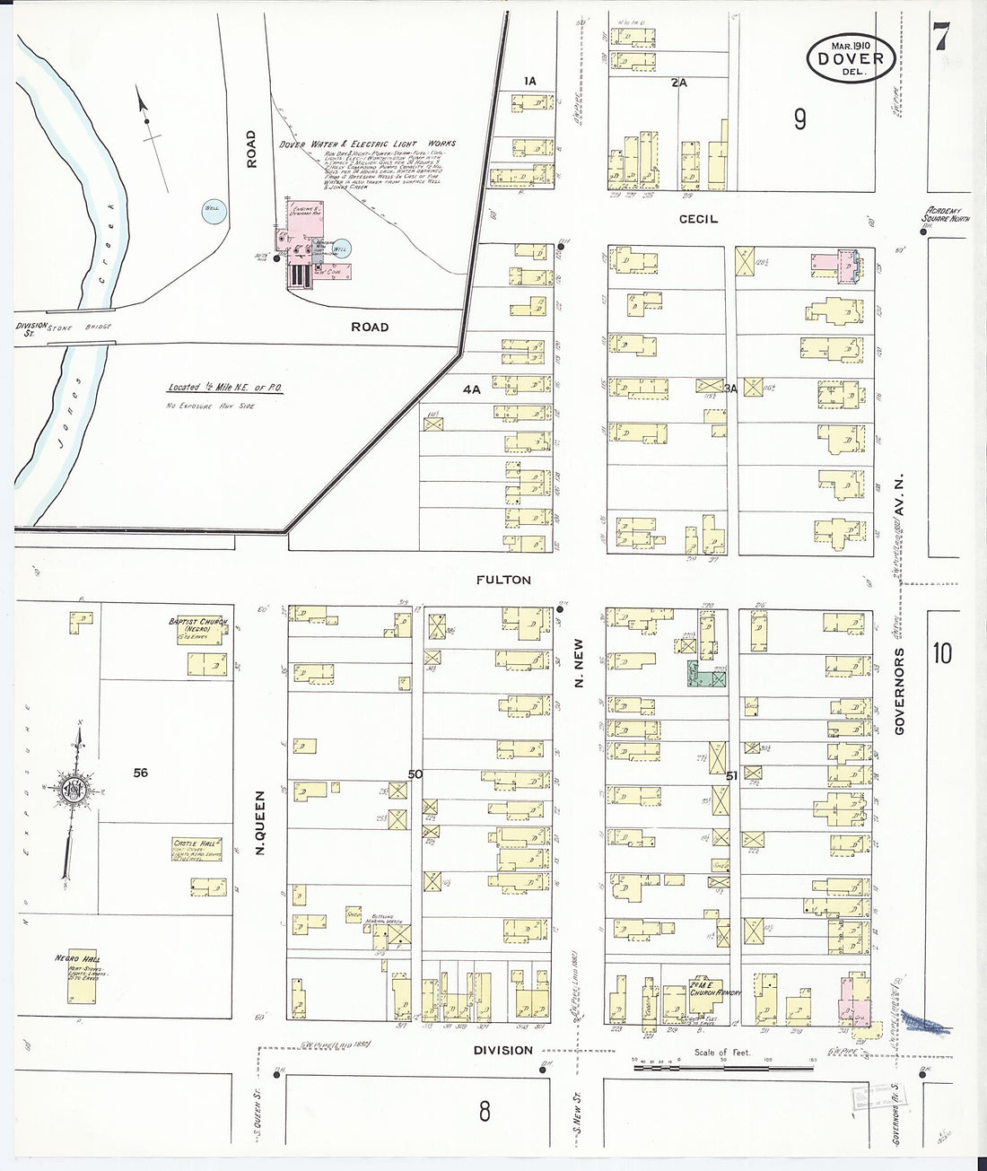 Dover, Kent County, Delaware 1910 (Sheet 7 of 11)Dover, Kent County, Delaware 1910 (Sheet 7 of 11)
- Regular price
-
$39.95 $83.95 - Regular price
-
$34.95 - Sale price
-
$39.95 $83.95
-
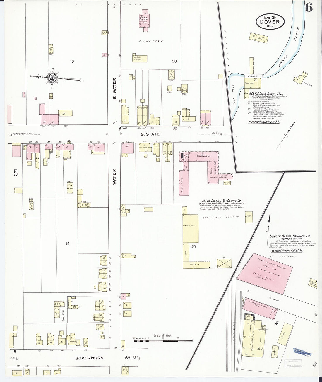 Dover, Kent County, Delaware 1910 (Sheet 6 of 11)Dover, Kent County, Delaware 1910 (Sheet 6 of 11)
- Regular price
-
$39.95 $83.95 - Regular price
-
$34.95 - Sale price
-
$39.95 $83.95
-
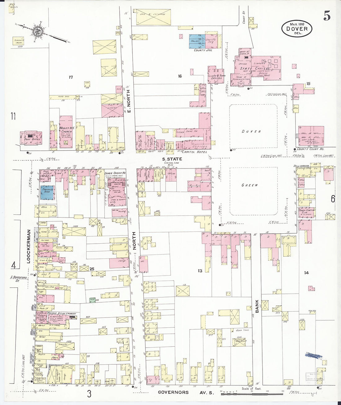 Dover, Kent County, Delaware 1910 (Sheet 5 of 11)Dover, Kent County, Delaware 1910 (Sheet 5 of 11)
- Regular price
-
$39.95 $83.95 - Regular price
-
$34.95 - Sale price
-
$39.95 $83.95
-
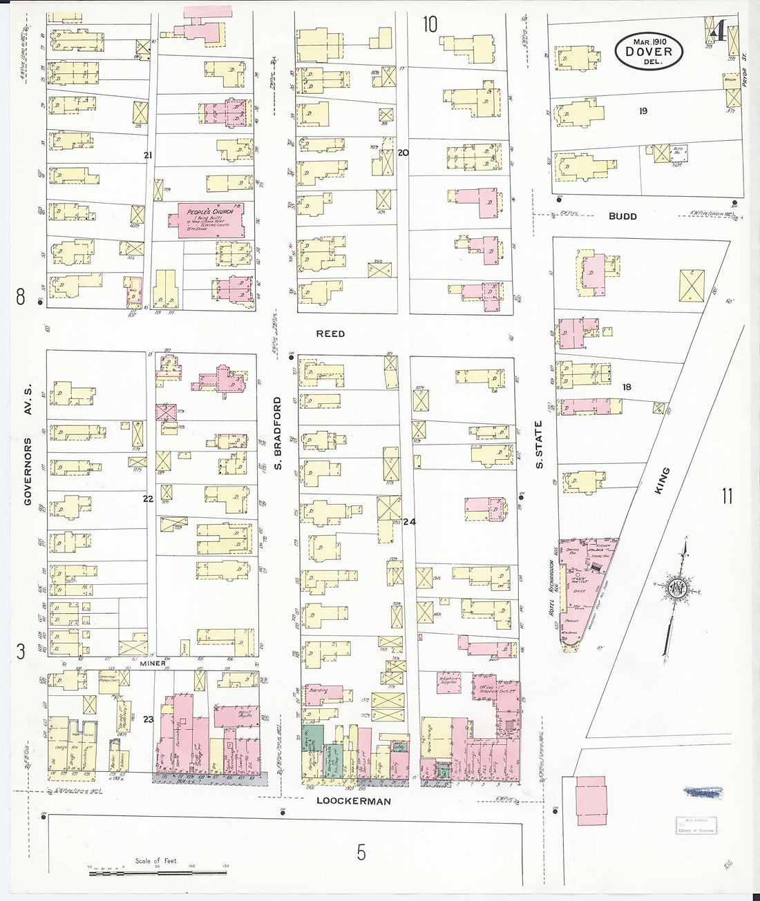 Dover, Kent County, Delaware 1910 (Sheet 4 of 11)Dover, Kent County, Delaware 1910 (Sheet 4 of 11)
- Regular price
-
$39.95 $83.95 - Regular price
-
$34.95 - Sale price
-
$39.95 $83.95


