Quick links
25001 products
-
 Winsted, Litchfield County, Connecticut 1909 (Sheet 6 of 18)Winsted, Litchfield County, Connecticut 1909 (Sheet 6 of 18)
- Regular price
-
$39.95 $83.95 - Regular price
-
$34.95 - Sale price
-
$39.95 $83.95
-
 Winsted, Litchfield County, Connecticut 1909 (Sheet 5 of 18)Winsted, Litchfield County, Connecticut 1909 (Sheet 5 of 18)
- Regular price
-
$39.95 $83.95 - Regular price
-
$34.95 - Sale price
-
$39.95 $83.95
-
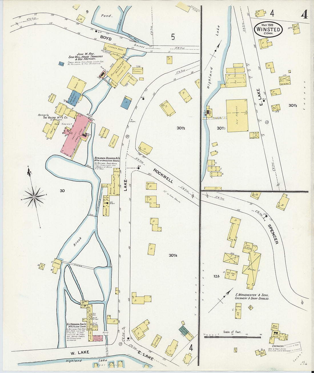 Winsted, Litchfield County, Connecticut 1909 (Sheet 4 of 18)Winsted, Litchfield County, Connecticut 1909 (Sheet 4 of 18)
- Regular price
-
$39.95 $83.95 - Regular price
-
$34.95 - Sale price
-
$39.95 $83.95
-
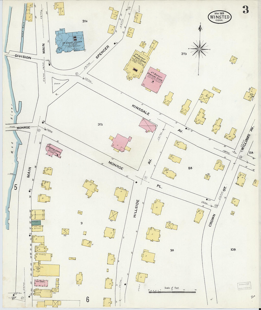 Winsted, Litchfield County, Connecticut 1909 (Sheet 3 of 18)Winsted, Litchfield County, Connecticut 1909 (Sheet 3 of 18)
- Regular price
-
$39.95 $83.95 - Regular price
-
$34.95 - Sale price
-
$39.95 $83.95
-
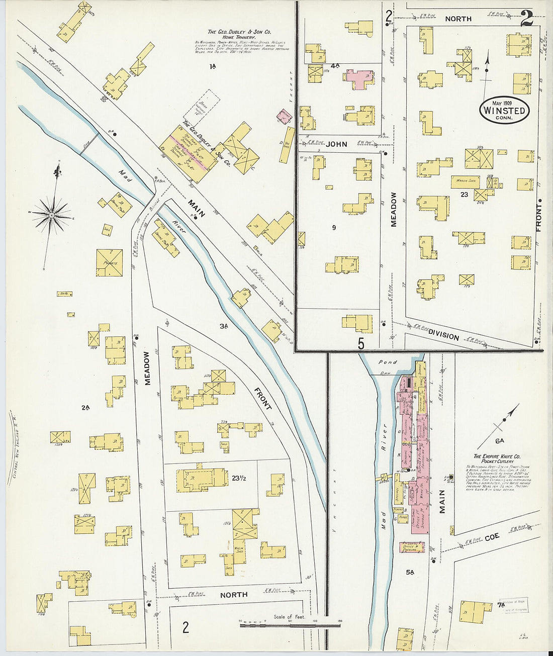 Winsted, Litchfield County, Connecticut 1909 (Sheet 2 of 18)Winsted, Litchfield County, Connecticut 1909 (Sheet 2 of 18)
- Regular price
-
$39.95 $83.95 - Regular price
-
$34.95 - Sale price
-
$39.95 $83.95
-
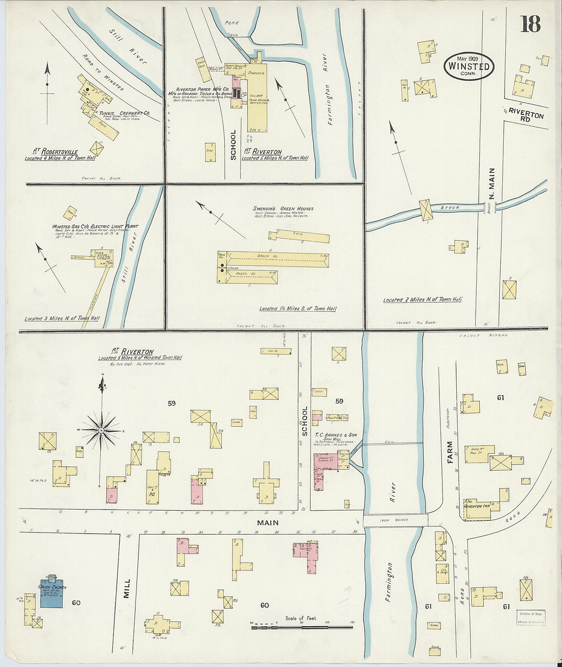 Winsted, Litchfield County, Connecticut 1909 (Sheet 18 of 18)Winsted, Litchfield County, Connecticut 1909 (Sheet 18 of 18)
- Regular price
-
$39.95 $83.95 - Regular price
-
$34.95 - Sale price
-
$39.95 $83.95
-
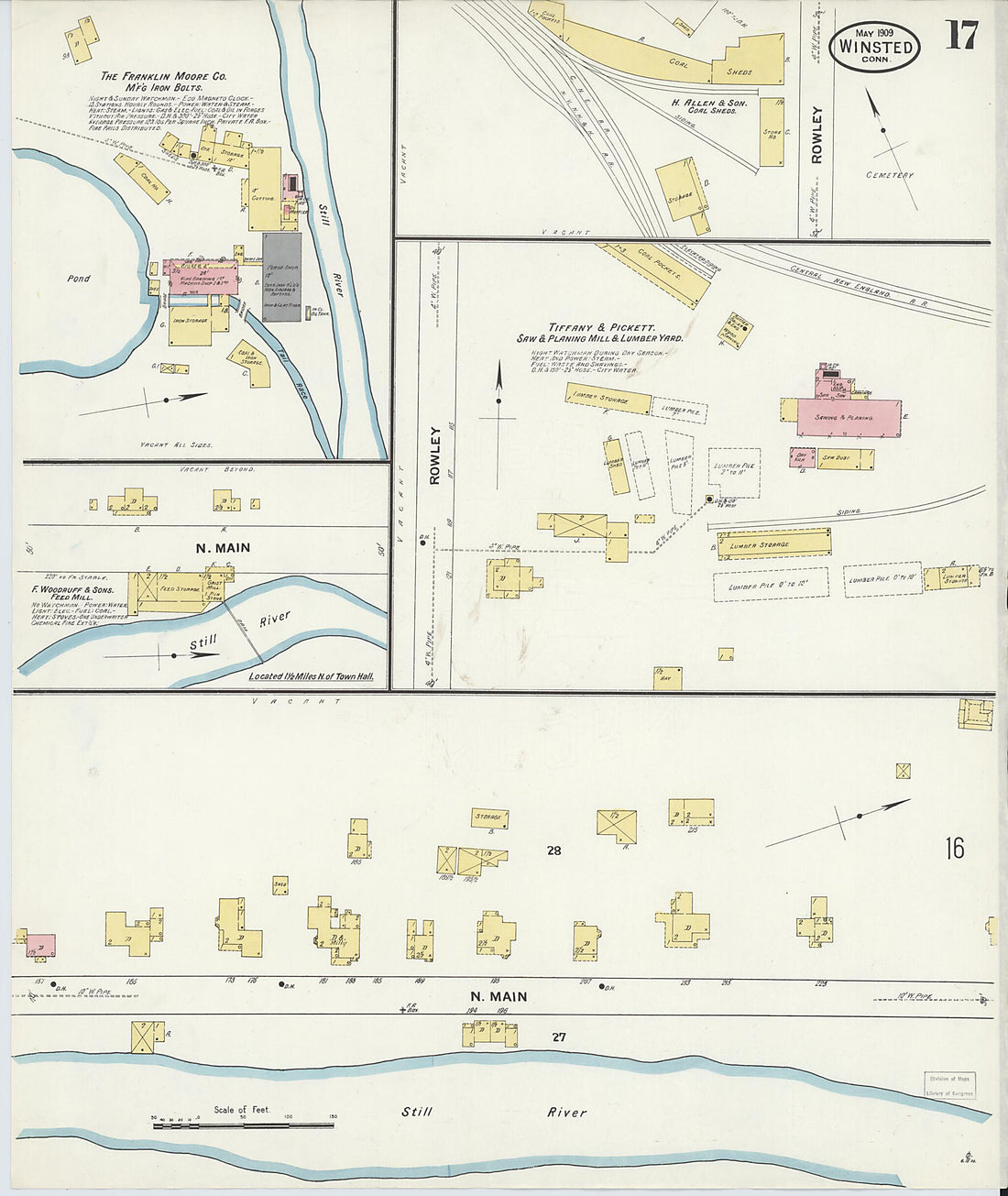 Winsted, Litchfield County, Connecticut 1909 (Sheet 17 of 18)Winsted, Litchfield County, Connecticut 1909 (Sheet 17 of 18)
- Regular price
-
$39.95 $83.95 - Regular price
-
$34.95 - Sale price
-
$39.95 $83.95
-
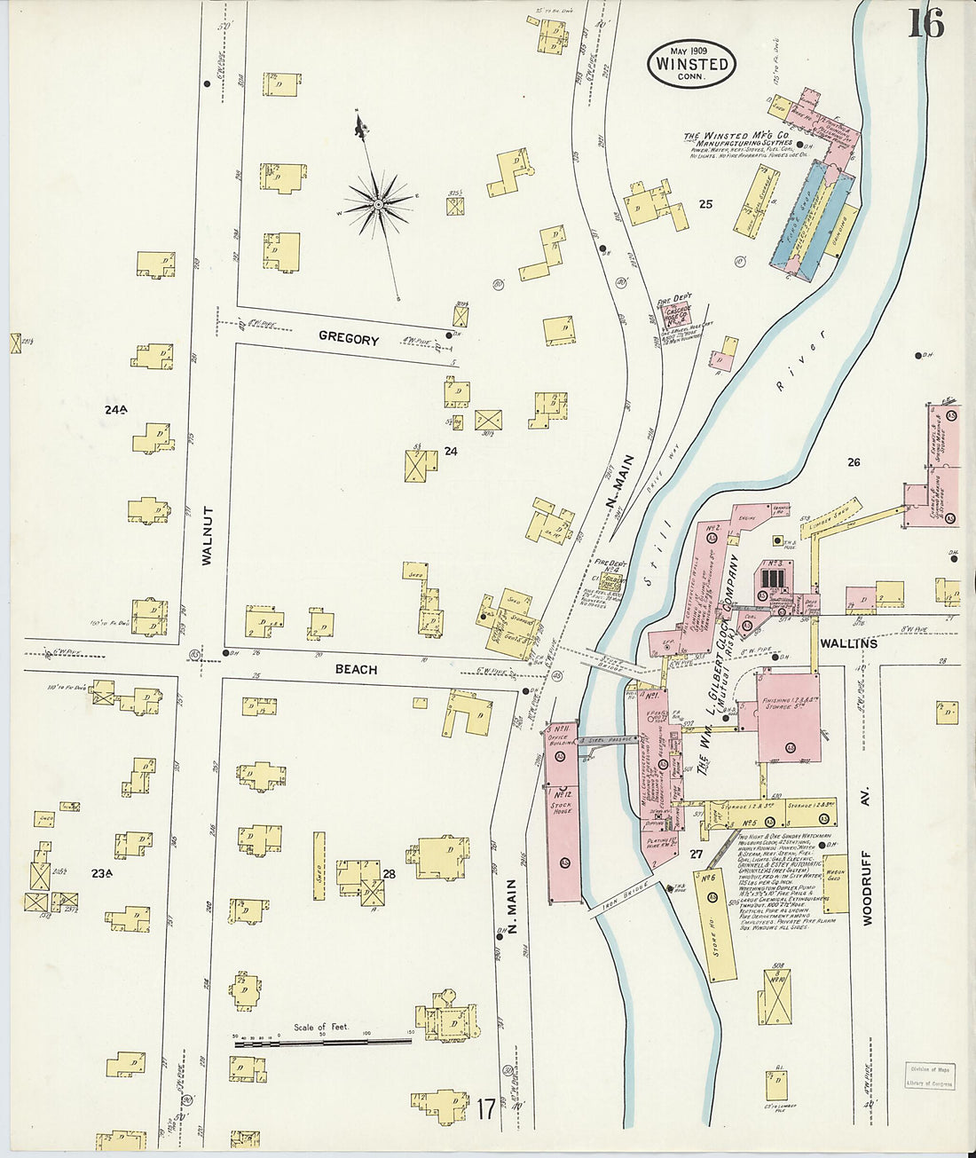 Winsted, Litchfield County, Connecticut 1909 (Sheet 16 of 18)Winsted, Litchfield County, Connecticut 1909 (Sheet 16 of 18)
- Regular price
-
$39.95 $83.95 - Regular price
-
$34.95 - Sale price
-
$39.95 $83.95
-
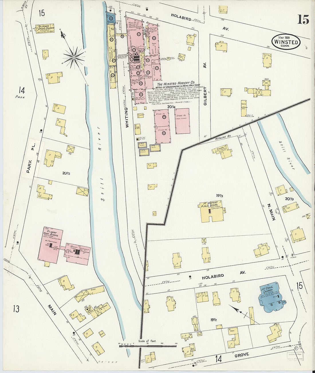 Winsted, Litchfield County, Connecticut 1909 (Sheet 15 of 18)Winsted, Litchfield County, Connecticut 1909 (Sheet 15 of 18)
- Regular price
-
$39.95 $83.95 - Regular price
-
$34.95 - Sale price
-
$39.95 $83.95
-
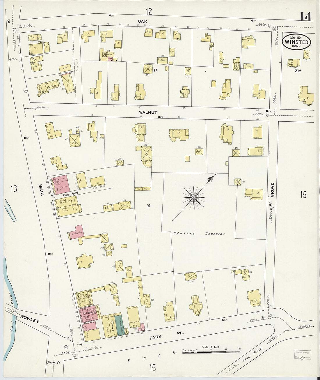 Winsted, Litchfield County, Connecticut 1909 (Sheet 14 of 18)Winsted, Litchfield County, Connecticut 1909 (Sheet 14 of 18)
- Regular price
-
$39.95 $83.95 - Regular price
-
$34.95 - Sale price
-
$39.95 $83.95
-
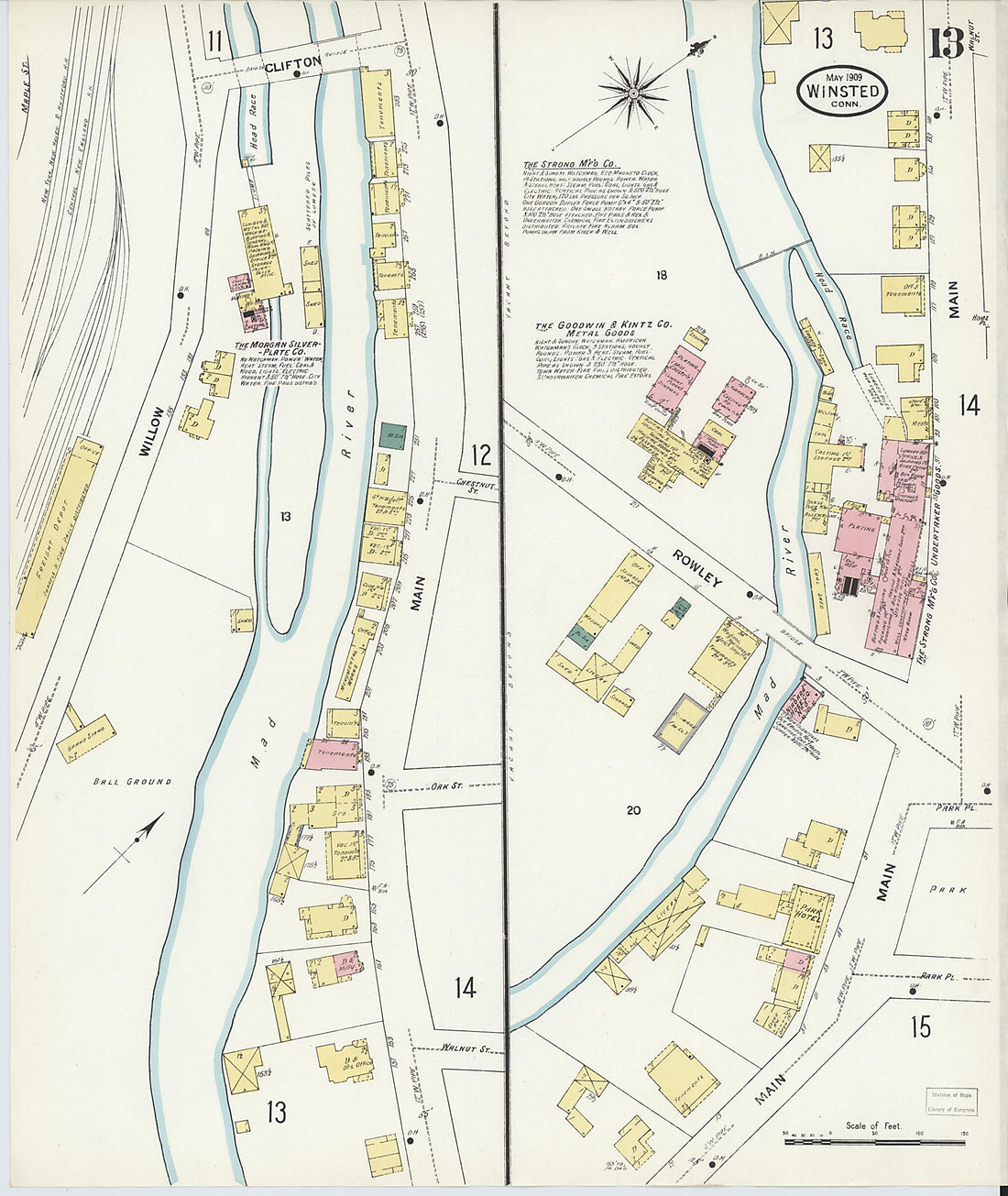 Winsted, Litchfield County, Connecticut 1909 (Sheet 13 of 18)Winsted, Litchfield County, Connecticut 1909 (Sheet 13 of 18)
- Regular price
-
$39.95 $83.95 - Regular price
-
$34.95 - Sale price
-
$39.95 $83.95
-
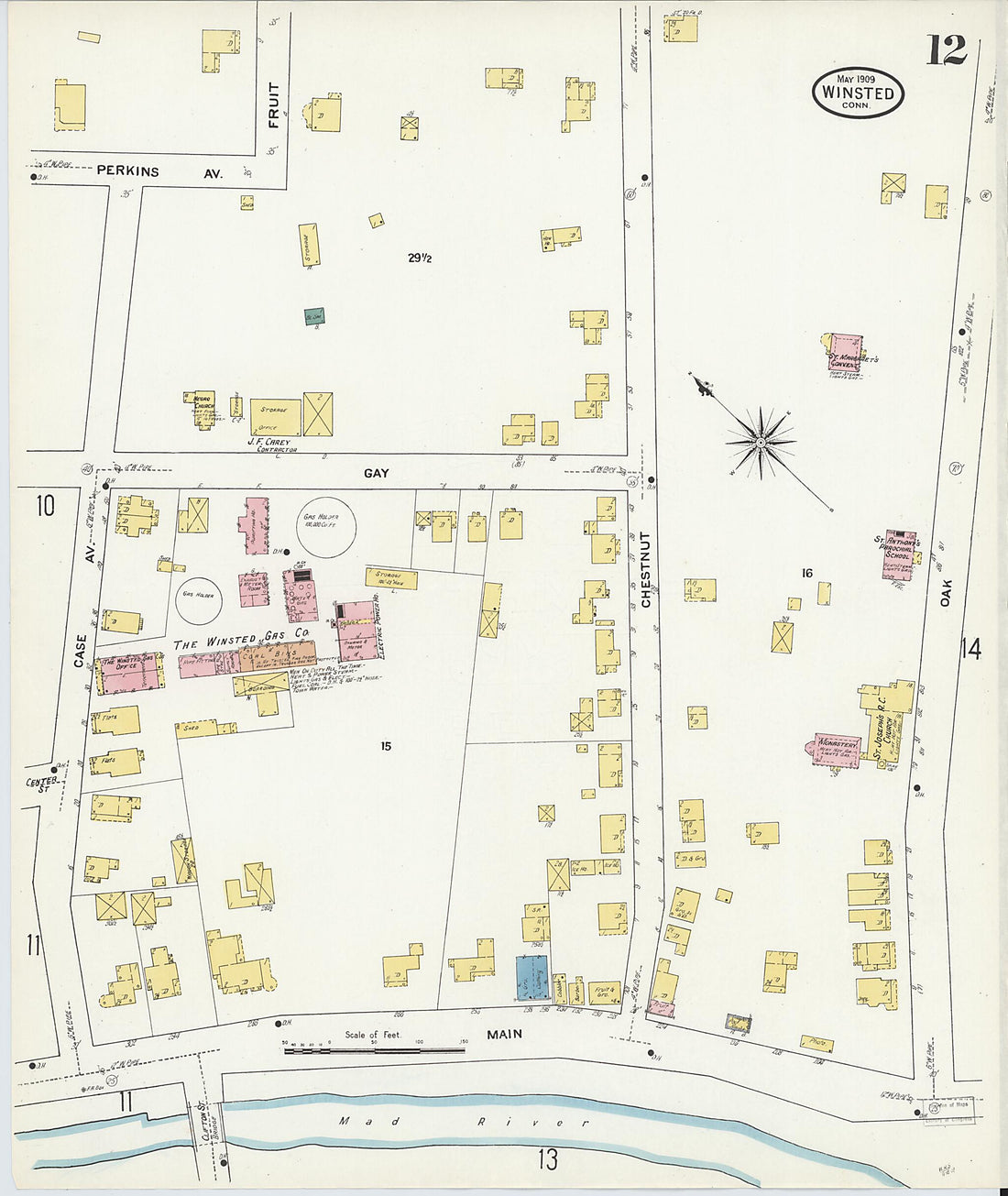 Winsted, Litchfield County, Connecticut 1909 (Sheet 12 of 18)Winsted, Litchfield County, Connecticut 1909 (Sheet 12 of 18)
- Regular price
-
$39.95 $83.95 - Regular price
-
$34.95 - Sale price
-
$39.95 $83.95


