Quick links
25001 products
-
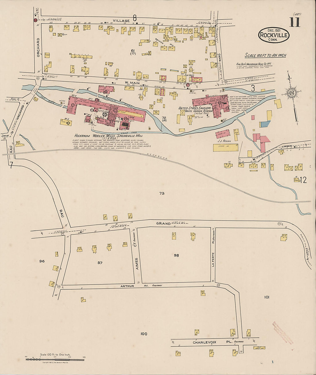 Rockville, Tolland County, Connecticut 1921 (Sheet 11 of 14)Rockville, Tolland County, Connecticut 1921 (Sheet 11 of 14)
- Regular price
-
$39.95 $83.95 - Regular price
-
$34.95 - Sale price
-
$39.95 $83.95
-
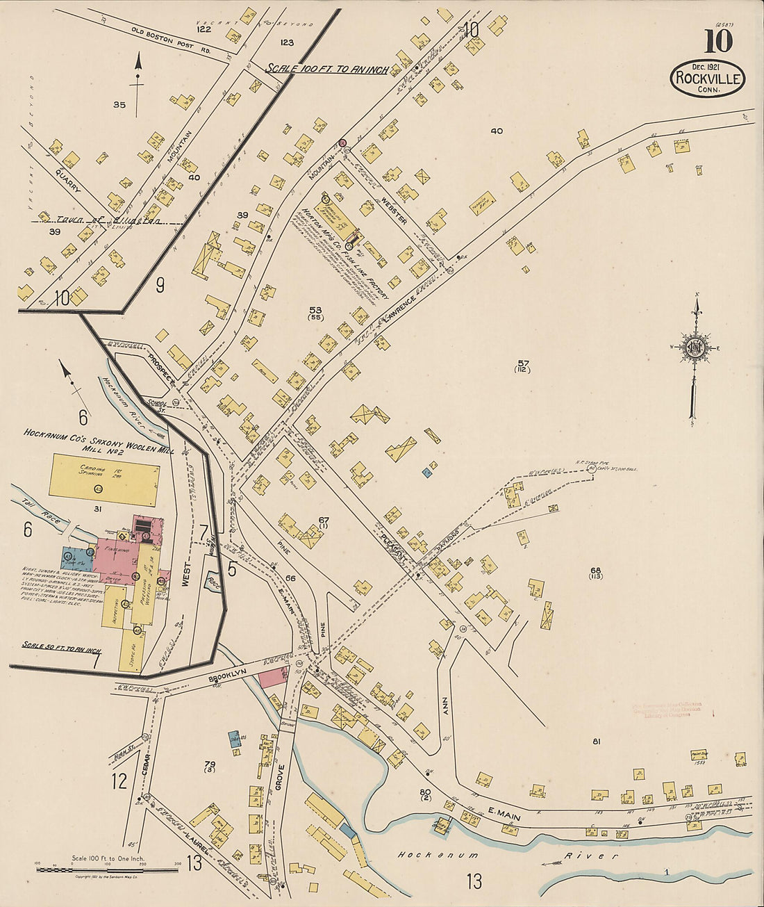 Rockville, Tolland County, Connecticut 1921 (Sheet 10 of 14)Rockville, Tolland County, Connecticut 1921 (Sheet 10 of 14)
- Regular price
-
$39.95 $83.95 - Regular price
-
$34.95 - Sale price
-
$39.95 $83.95
-
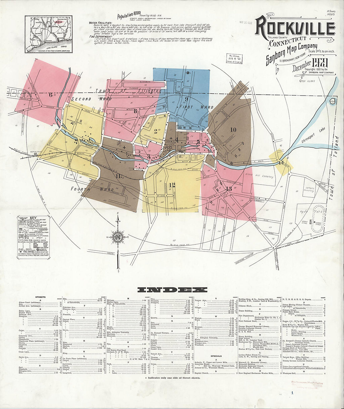 Rockville, Tolland County, Connecticut 1921 (Sheet 1 of 14)Rockville, Tolland County, Connecticut 1921 (Sheet 1 of 14)
- Regular price
-
$39.95 $83.95 - Regular price
-
$34.95 - Sale price
-
$39.95 $83.95
-
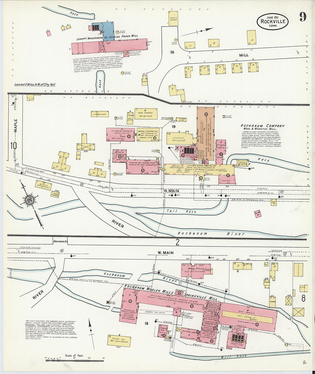 Rockville, Tolland County, Connecticut 1911 (Sheet 9 of 14)Rockville, Tolland County, Connecticut 1911 (Sheet 9 of 14)
- Regular price
-
$39.95 $83.95 - Regular price
-
$34.95 - Sale price
-
$39.95 $83.95
-
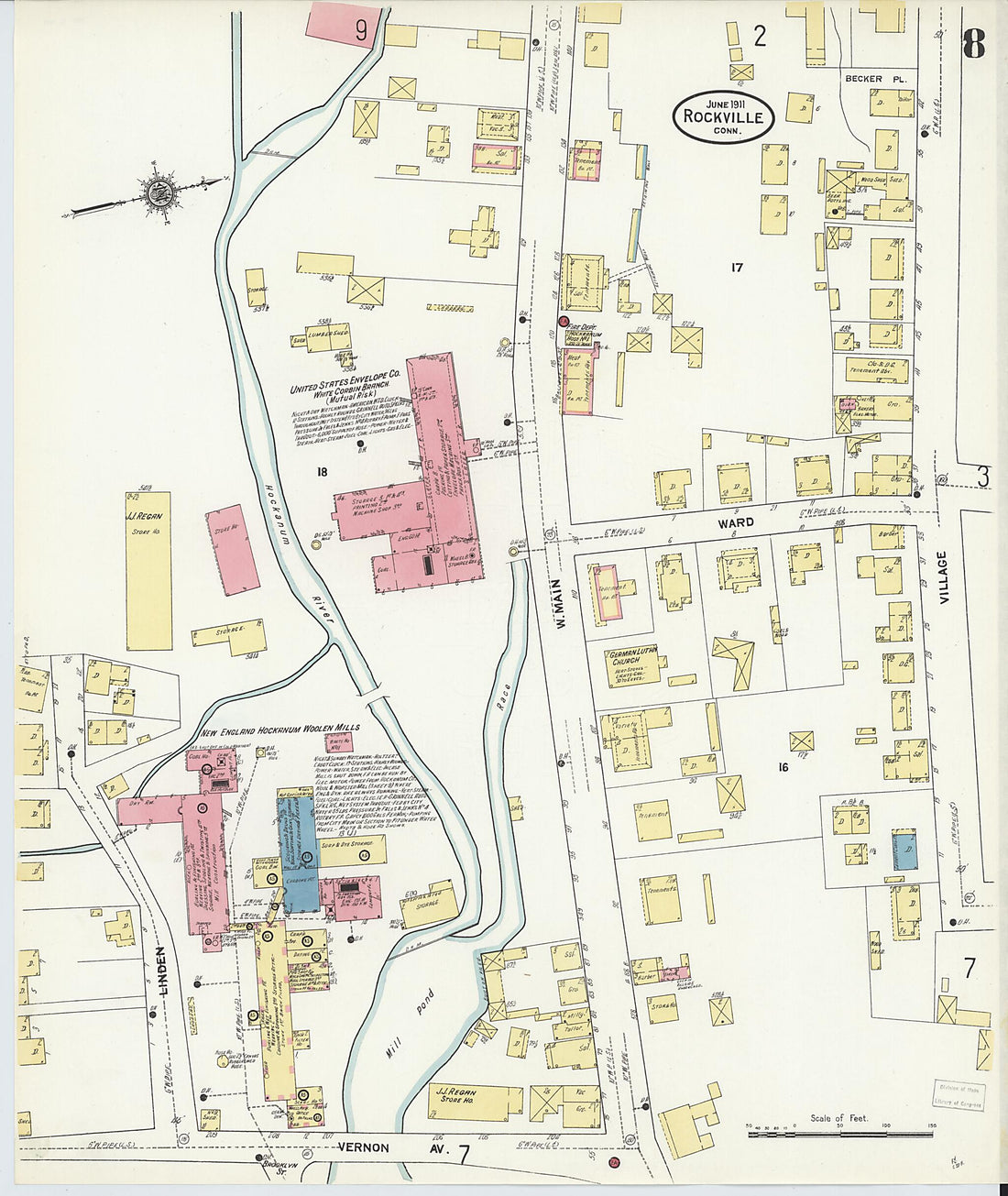 Rockville, Tolland County, Connecticut 1911 (Sheet 8 of 14)Rockville, Tolland County, Connecticut 1911 (Sheet 8 of 14)
- Regular price
-
$39.95 $83.95 - Regular price
-
$34.95 - Sale price
-
$39.95 $83.95
-
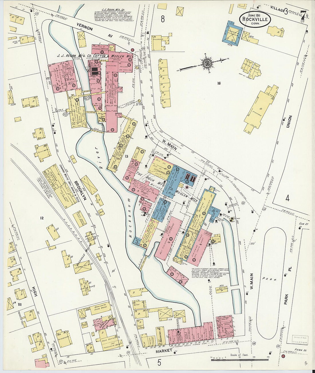 Rockville, Tolland County, Connecticut 1911 (Sheet 7 of 14)Rockville, Tolland County, Connecticut 1911 (Sheet 7 of 14)
- Regular price
-
$39.95 $83.95 - Regular price
-
$34.95 - Sale price
-
$39.95 $83.95
-
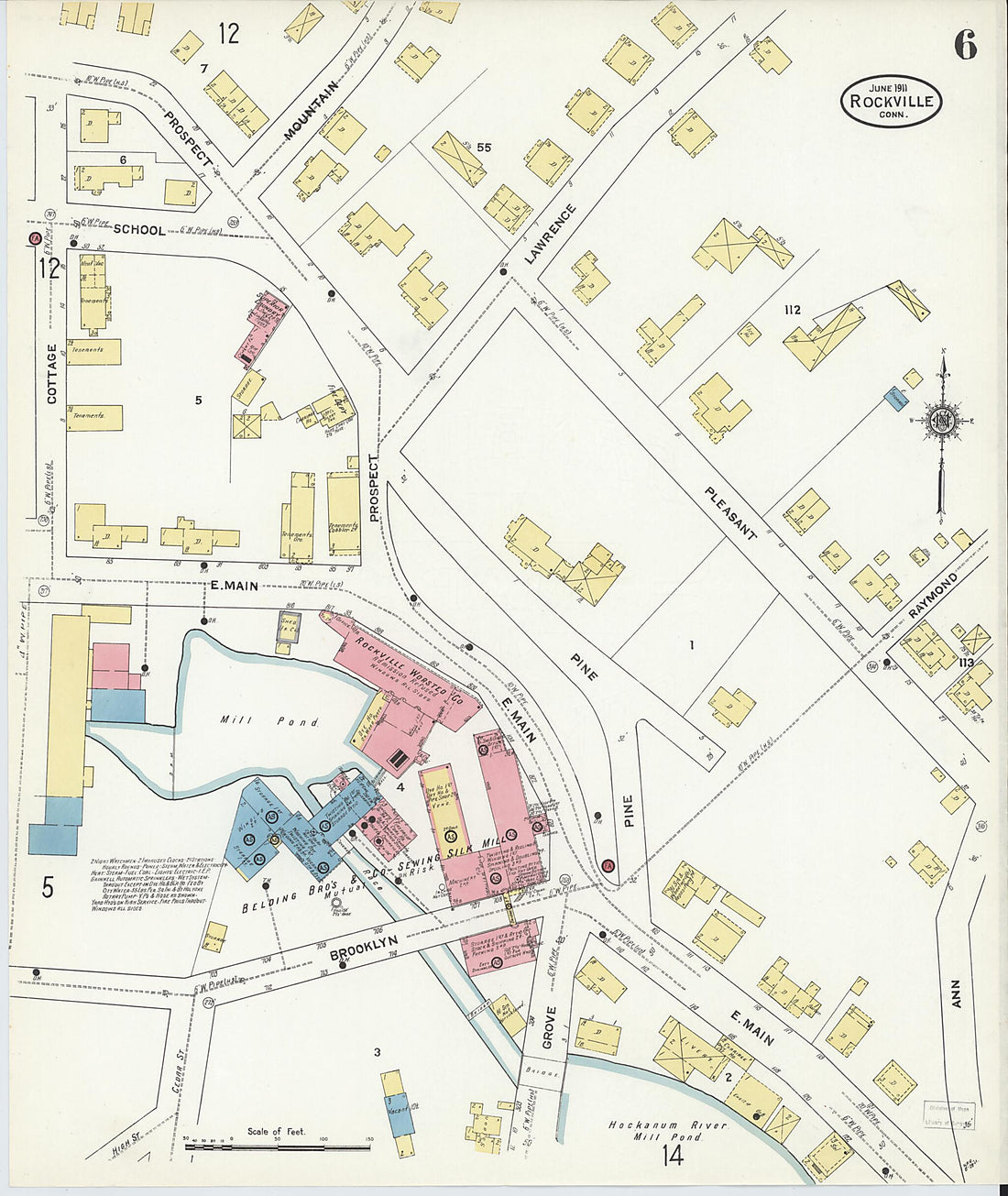 Rockville, Tolland County, Connecticut 1911 (Sheet 6 of 14)Rockville, Tolland County, Connecticut 1911 (Sheet 6 of 14)
- Regular price
-
$39.95 $83.95 - Regular price
-
$34.95 - Sale price
-
$39.95 $83.95
-
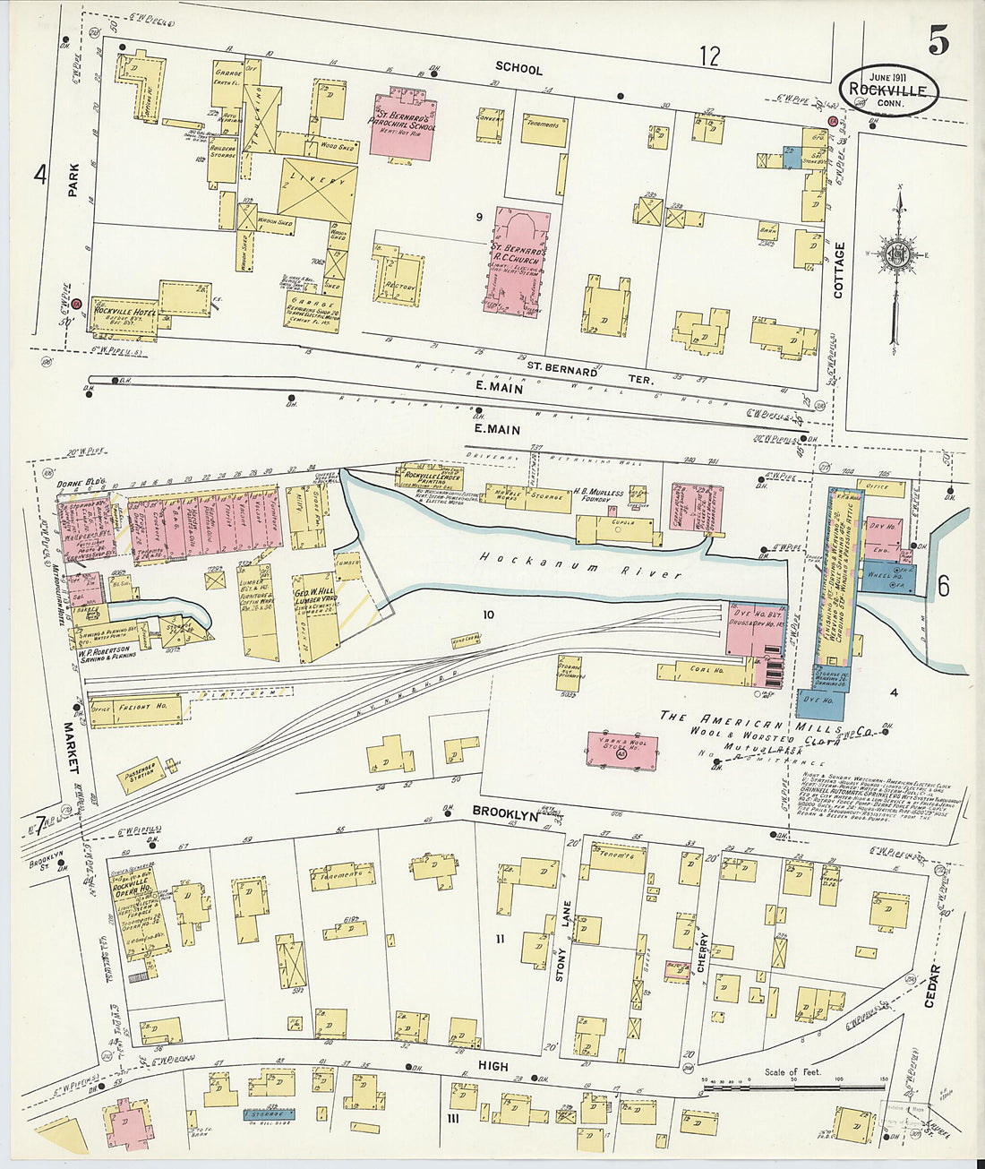 Rockville, Tolland County, Connecticut 1911 (Sheet 5 of 14)Rockville, Tolland County, Connecticut 1911 (Sheet 5 of 14)
- Regular price
-
$39.95 $83.95 - Regular price
-
$34.95 - Sale price
-
$39.95 $83.95
-
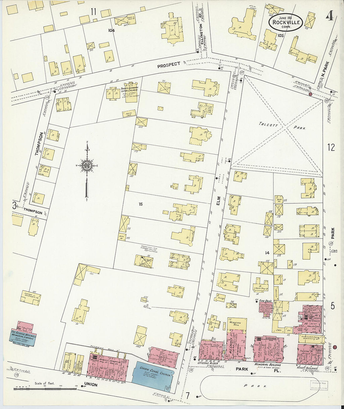 Rockville, Tolland County, Connecticut 1911 (Sheet 4 of 14)Rockville, Tolland County, Connecticut 1911 (Sheet 4 of 14)
- Regular price
-
$39.95 $83.95 - Regular price
-
$34.95 - Sale price
-
$39.95 $83.95
-
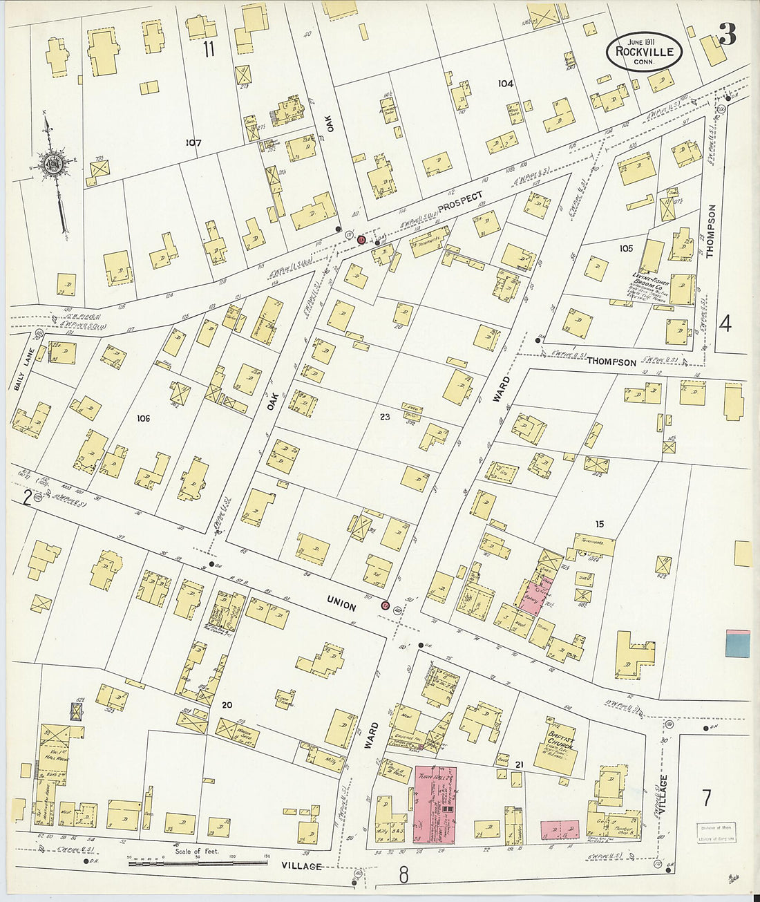 Rockville, Tolland County, Connecticut 1911 (Sheet 3 of 14)Rockville, Tolland County, Connecticut 1911 (Sheet 3 of 14)
- Regular price
-
$39.95 $83.95 - Regular price
-
$34.95 - Sale price
-
$39.95 $83.95
-
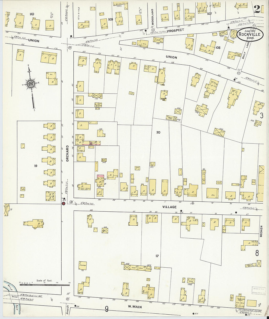 Rockville, Tolland County, Connecticut 1911 (Sheet 2 of 14)Rockville, Tolland County, Connecticut 1911 (Sheet 2 of 14)
- Regular price
-
$39.95 $83.95 - Regular price
-
$34.95 - Sale price
-
$39.95 $83.95
-
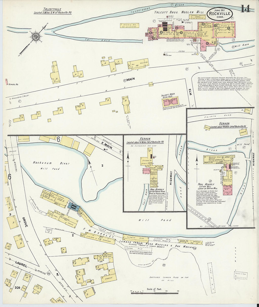 Rockville, Tolland County, Connecticut 1911 (Sheet 14 of 14)Rockville, Tolland County, Connecticut 1911 (Sheet 14 of 14)
- Regular price
-
$39.95 $83.95 - Regular price
-
$34.95 - Sale price
-
$39.95 $83.95


