Quick links
25001 products
-
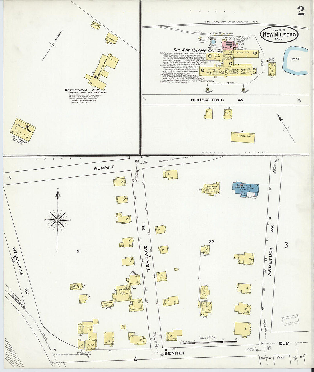 New Milford, Litchfield County, Connecticut 1909 (Sheet 2 of 10)New Milford, Litchfield County, Connecticut 1909 (Sheet 2 of 10)
- Regular price
-
$39.95 $83.95 - Regular price
-
$34.95 - Sale price
-
$39.95 $83.95
-
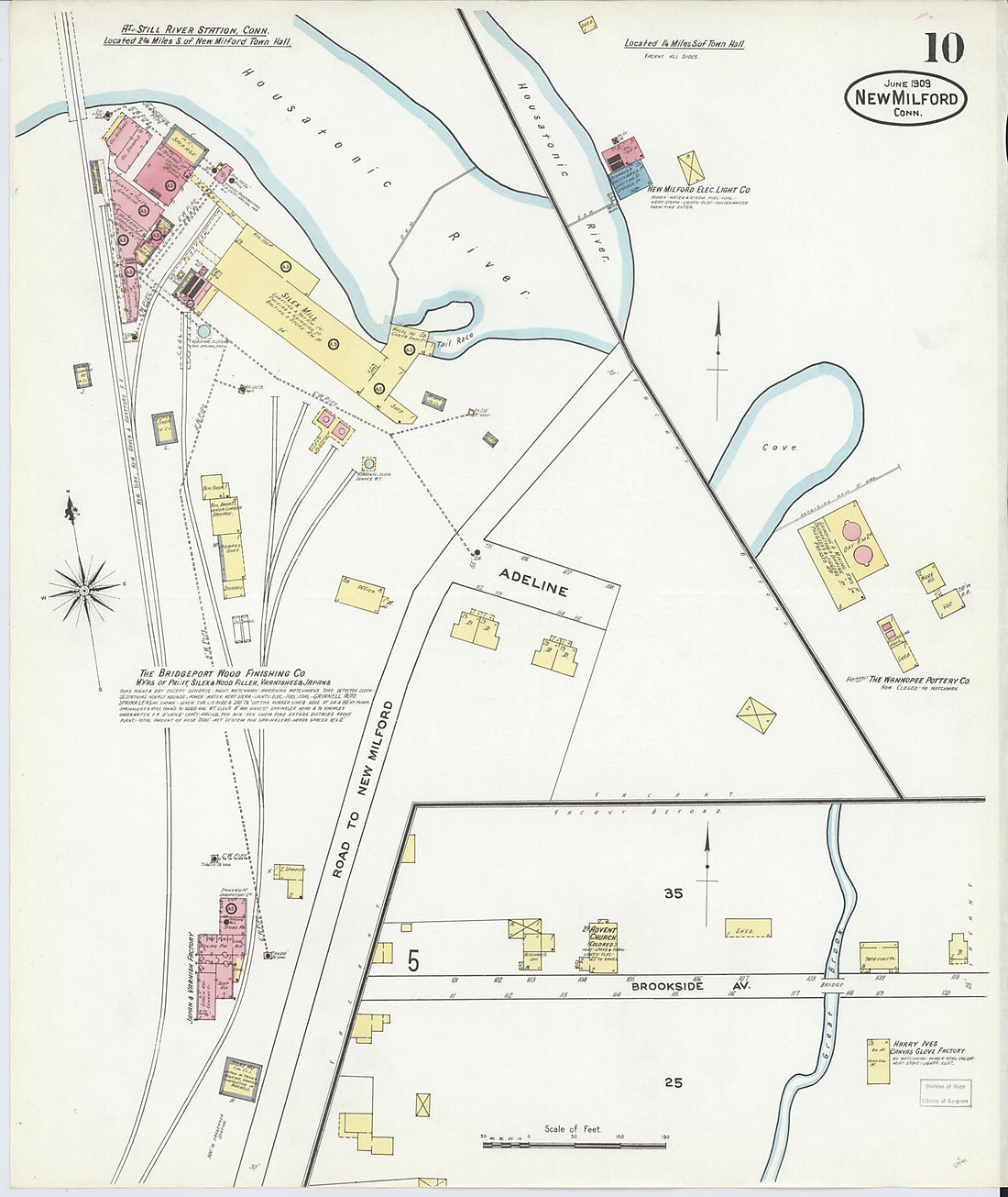 New Milford, Litchfield County, Connecticut 1909 (Sheet 10 of 10)New Milford, Litchfield County, Connecticut 1909 (Sheet 10 of 10)
- Regular price
-
$39.95 $83.95 - Regular price
-
$34.95 - Sale price
-
$39.95 $83.95
-
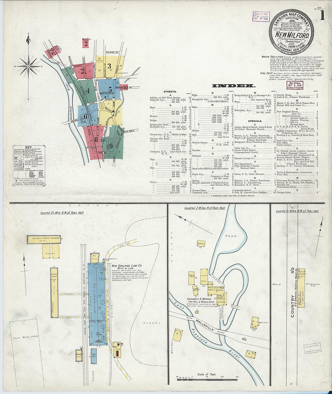 New Milford, Litchfield County, Connecticut 1909 (Sheet 1 of 10)New Milford, Litchfield County, Connecticut 1909 (Sheet 1 of 10)
- Regular price
-
$39.95 $83.95 - Regular price
-
$34.95 - Sale price
-
$39.95 $83.95
-
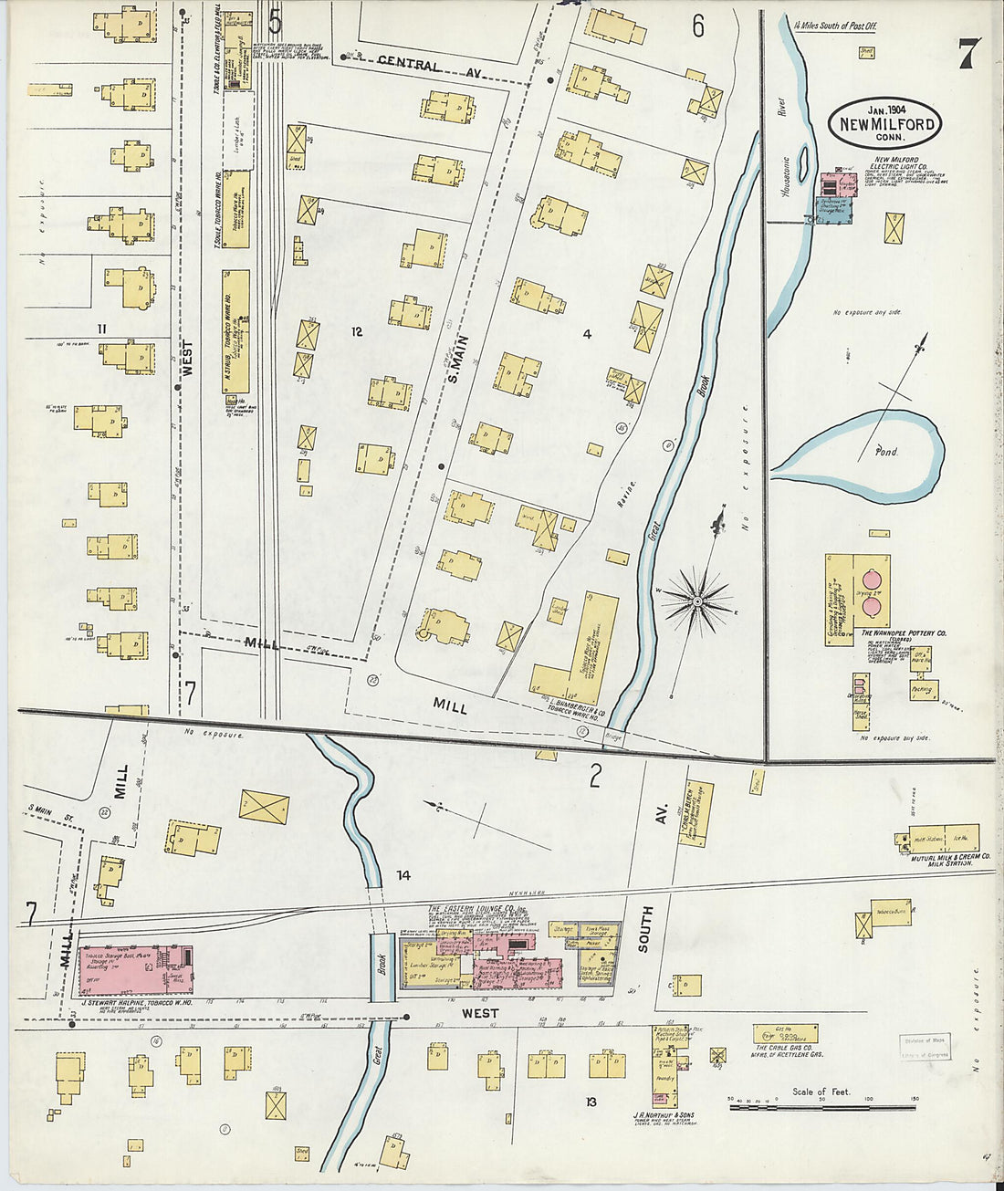 New Milford, Litchfield County, Connecticut 1904 (Sheet 7 of 7)New Milford, Litchfield County, Connecticut 1904 (Sheet 7 of 7)
- Regular price
-
$39.95 $83.95 - Regular price
-
$34.95 - Sale price
-
$39.95 $83.95
-
 New Milford, Litchfield County, Connecticut 1904 (Sheet 5 of 7)New Milford, Litchfield County, Connecticut 1904 (Sheet 5 of 7)
- Regular price
-
$39.95 $83.95 - Regular price
-
$34.95 - Sale price
-
$39.95 $83.95
-
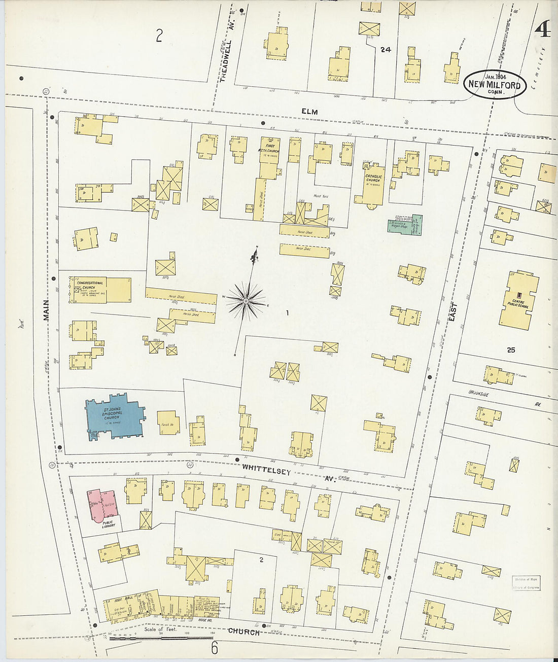 New Milford, Litchfield County, Connecticut 1904 (Sheet 4 of 7)New Milford, Litchfield County, Connecticut 1904 (Sheet 4 of 7)
- Regular price
-
$39.95 $83.95 - Regular price
-
$34.95 - Sale price
-
$39.95 $83.95
-
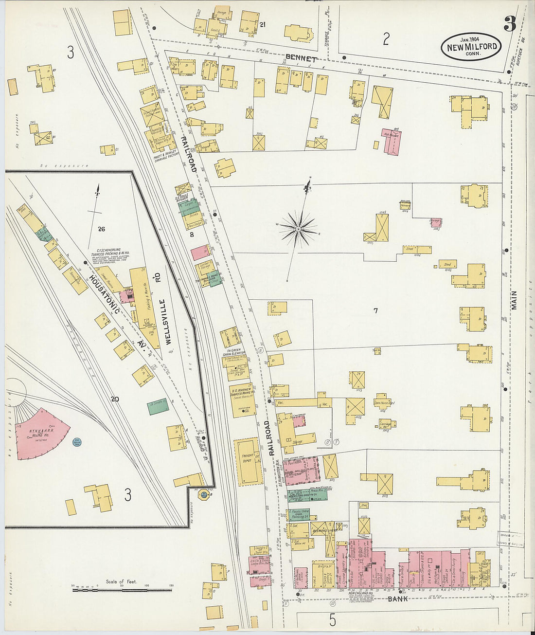 New Milford, Litchfield County, Connecticut 1904 (Sheet 3 of 7)New Milford, Litchfield County, Connecticut 1904 (Sheet 3 of 7)
- Regular price
-
$39.95 $83.95 - Regular price
-
$34.95 - Sale price
-
$39.95 $83.95
-
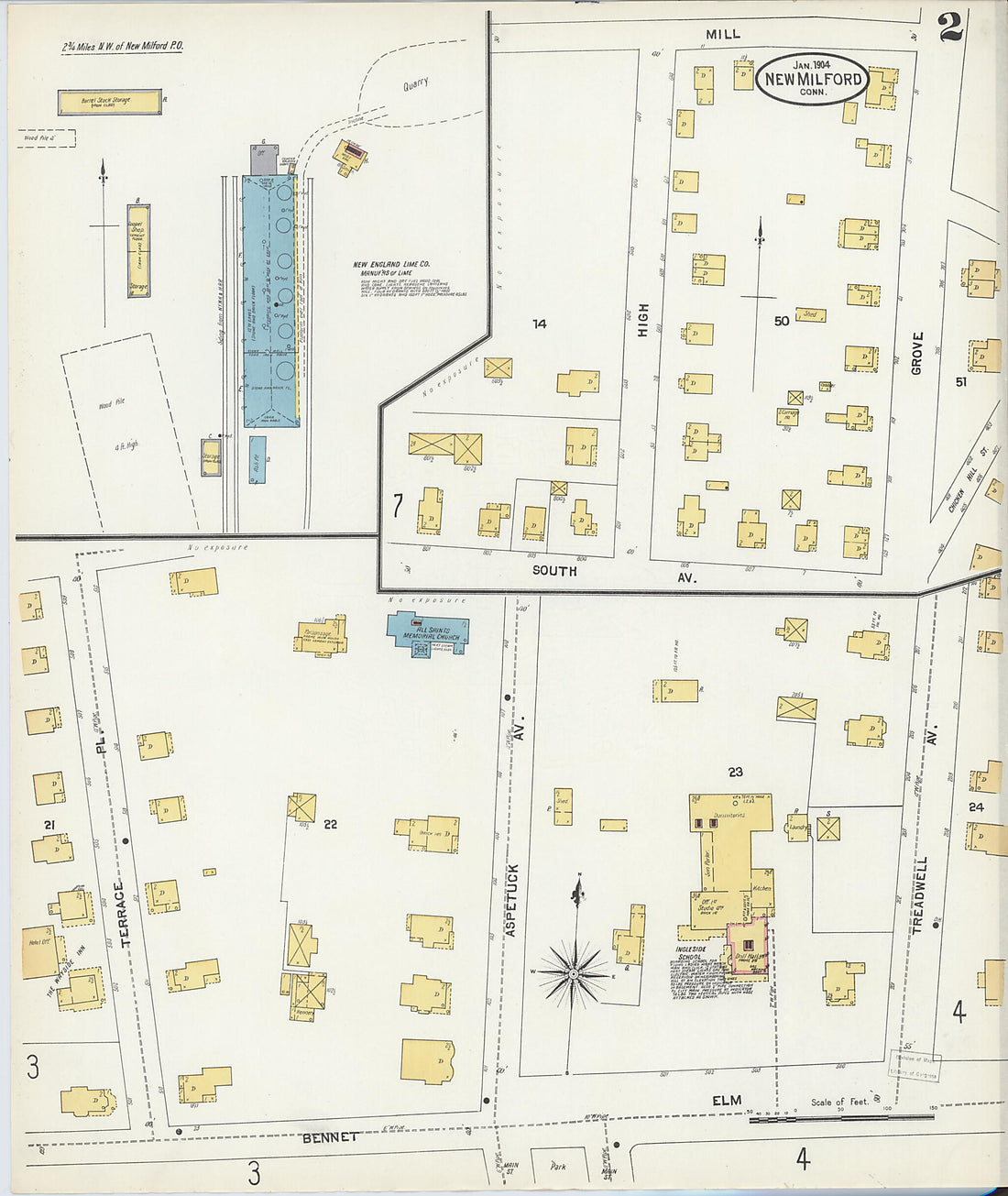 New Milford, Litchfield County, Connecticut 1904 (Sheet 2 of 7)New Milford, Litchfield County, Connecticut 1904 (Sheet 2 of 7)
- Regular price
-
$39.95 $83.95 - Regular price
-
$34.95 - Sale price
-
$39.95 $83.95
-
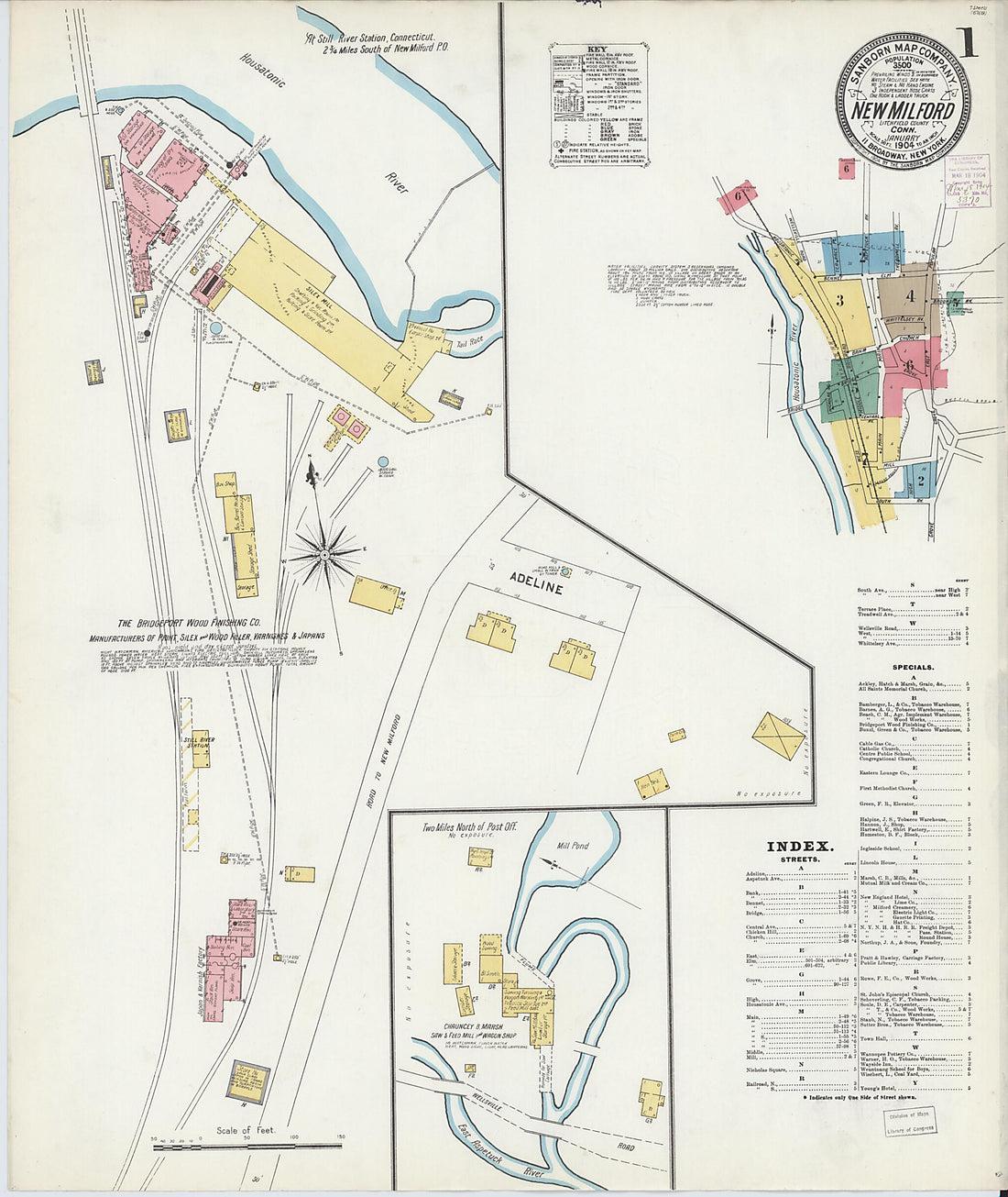 New Milford, Litchfield County, Connecticut 1904 (Sheet 1 of 7)New Milford, Litchfield County, Connecticut 1904 (Sheet 1 of 7)
- Regular price
-
$39.95 $83.95 - Regular price
-
$34.95 - Sale price
-
$39.95 $83.95
-
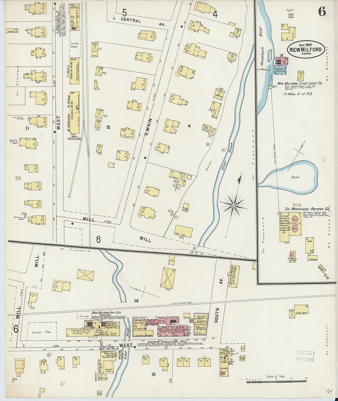 New Milford, Litchfield County, Connecticut 1897 (Sheet 6 of 6)New Milford, Litchfield County, Connecticut 1897 (Sheet 6 of 6)
- Regular price
-
$39.95 $83.95 - Regular price
-
$34.95 - Sale price
-
$39.95 $83.95
-
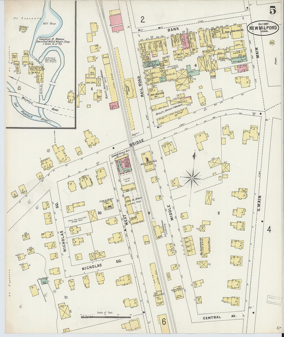 New Milford, Litchfield County, Connecticut 1897 (Sheet 5 of 6)New Milford, Litchfield County, Connecticut 1897 (Sheet 5 of 6)
- Regular price
-
$39.95 $83.95 - Regular price
-
$34.95 - Sale price
-
$39.95 $83.95
-
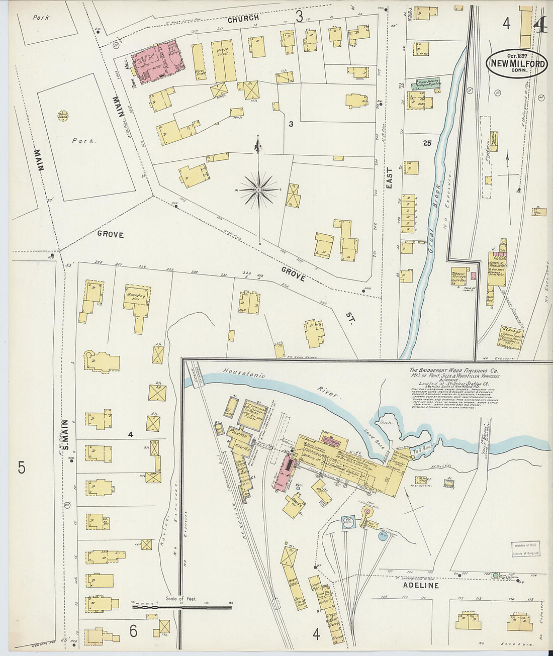 New Milford, Litchfield County, Connecticut 1897 (Sheet 4 of 6)New Milford, Litchfield County, Connecticut 1897 (Sheet 4 of 6)
- Regular price
-
$39.95 $83.95 - Regular price
-
$34.95 - Sale price
-
$39.95 $83.95


