Quick links
25001 products
-
Map of Atlas / Gibsonville / Davison from Atlas of Genesee County, Michigan 1899
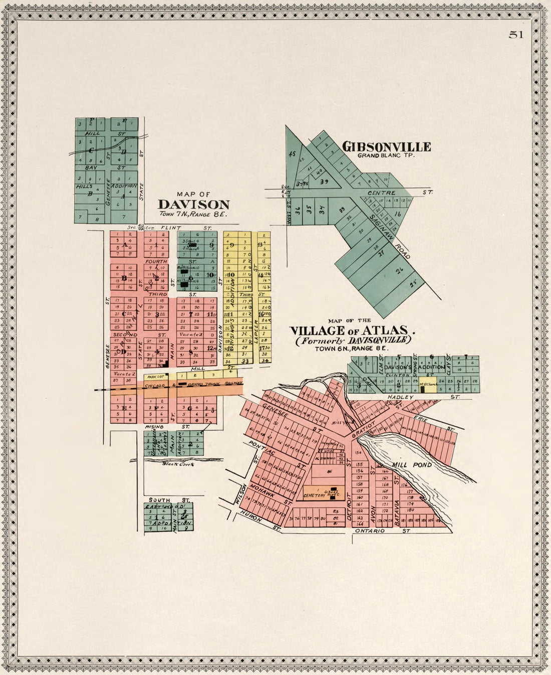 Map of Atlas / Gibsonville / Davison from Atlas of Genesee County, Michigan 1899
- Regular price
-
$39.95 $102.95 - Regular price
-
$34.95 - Sale price
-
$39.95 $102.95
-
Map of Grand Blanc from Atlas of Genesee County, Michigan 1899
 Map of Grand Blanc from Atlas of Genesee County, Michigan 1899
- Regular price
-
$39.95 $99.95 - Regular price
-
$34.95 - Sale price
-
$39.95 $99.95
-
Genesee County from Atlas of Genesee County, Michigan 1899
 Genesee County from Atlas of Genesee County, Michigan 1899
- Regular price
-
$39.95 $116.95 - Regular price
-
$34.95 - Sale price
-
$39.95 $116.95
-
Benzie County from Atlas, Benzie Co., Michigan 1901
 Benzie County from Atlas, Benzie Co., Michigan 1901
- Regular price
-
$39.95 $102.95 - Regular price
-
$34.95 - Sale price
-
$39.95 $102.95
-
Morton from Plat Book of Tazewell County, Illinois 1891
 Morton from Plat Book of Tazewell County, Illinois 1891
- Regular price
-
$39.95 $112.95 - Regular price
-
$34.95 - Sale price
-
$39.95 $112.95
-
Morton from Plat Book of Tazewell County, Illinois 1891
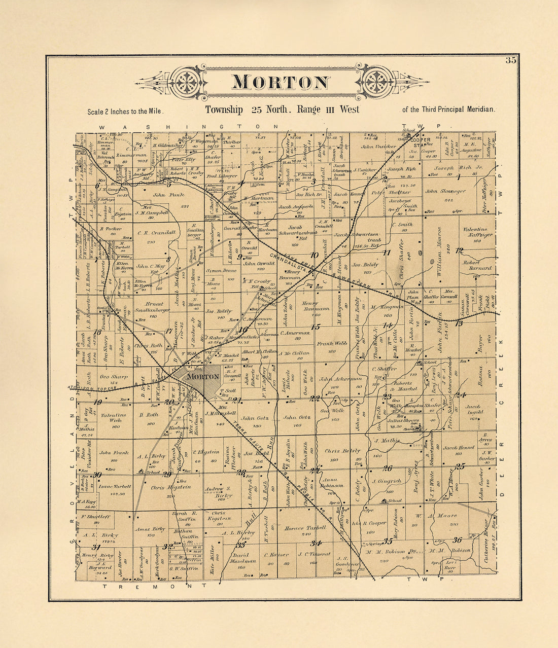 Morton from Plat Book of Tazewell County, Illinois 1891
- Regular price
-
$39.95 $113.95 - Regular price
-
$34.95 - Sale price
-
$39.95 $113.95
-
Pinckney from Atlas of Lewis County, New York 1875
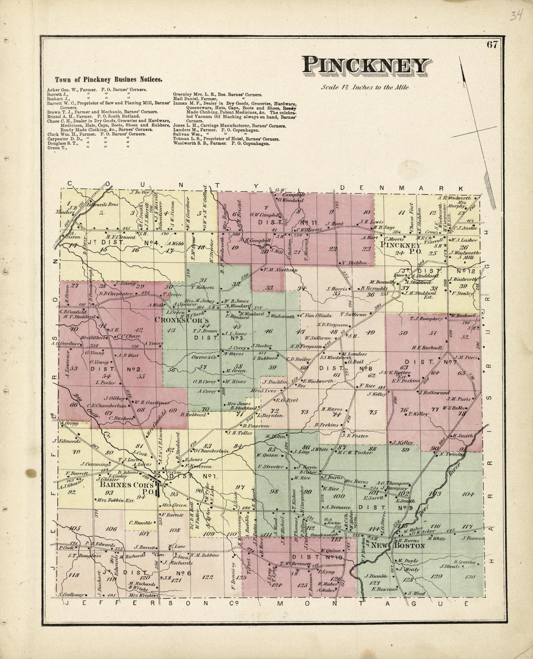 Pinckney from Atlas of Lewis County, New York 1875
- Regular price
-
$39.95 $85.95 - Regular price
-
$34.95 - Sale price
-
$39.95 $85.95
-
Map of East Windsor Township from New Historical Atlas of Mercer County, New Jersey : 1875
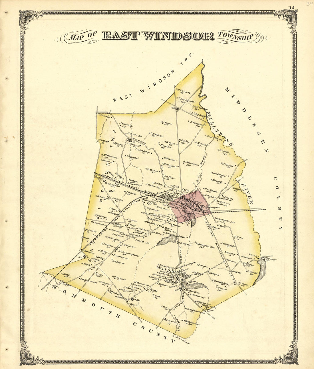 Map of East Windsor Township from New Historical Atlas of Mercer County, New Jersey : 1875
- Regular price
-
$39.95 $100.95 - Regular price
-
$34.95 - Sale price
-
$39.95 $100.95
-
A Plan of the Island of St. John from the North American Atlas, Selected from the Most Authentic Maps, Charts, Plans, &c. Hitherto Published. 1777
 A Plan of the Island of St. John from the North American Atlas, Selected from the Most Authentic Maps, Charts, Plans, &c. Hitherto Published. 1777
- Regular price
-
$46.95 $172.95 - Regular price
-
$41.95 - Sale price
-
$46.95 $172.95
-
The British Colonies In North America from the North American Atlas, Selected from the Most Authentic Maps, Charts, Plans, &c. Hitherto Published. 1777
 The British Colonies In North America from the North American Atlas, Selected from the Most Authentic Maps, Charts, Plans, &c. Hitherto Published. 1777
- Regular price
-
$43.95 $217.95 - Regular price
-
$38.95 - Sale price
-
$43.95 $217.95
-
Map of the City of El Reno, Canadian County, Oklahoma Terry. 1891
 Map of the City of El Reno, Canadian County, Oklahoma Terry. 1891
- Regular price
-
$43.95 $88.95 - Regular price
-
$38.95 - Sale price
-
$43.95 $88.95
-
Map of the United States, Territory of Oregon, West of the Rocky Mountains : Exhibiting the Various Trading Depots Or Forts Occupied by the British Hudson Bay Company, Connected With the Western and Northwestern Fur Trade 1838
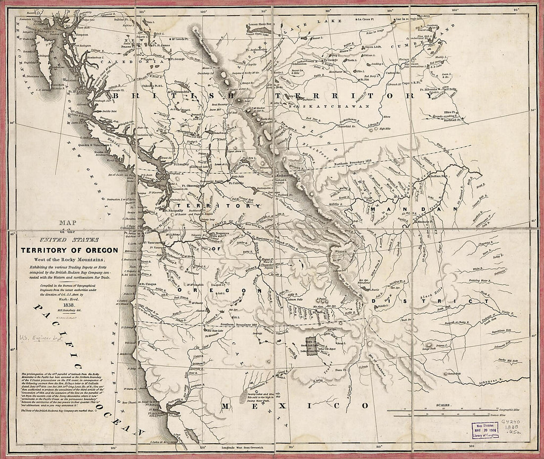 Map of the United States, Territory of Oregon, West of the Rocky Mountains : Exhibiting the Various Trading Depots Or Forts Occupied by the British Hudson Bay Company, Connected With the Western and Northwestern Fur Trade 1838
- Regular price
-
$43.95 $89.95 - Regular price
-
$38.95 - Sale price
-
$43.95 $89.95


