Quick links
25001 products
-
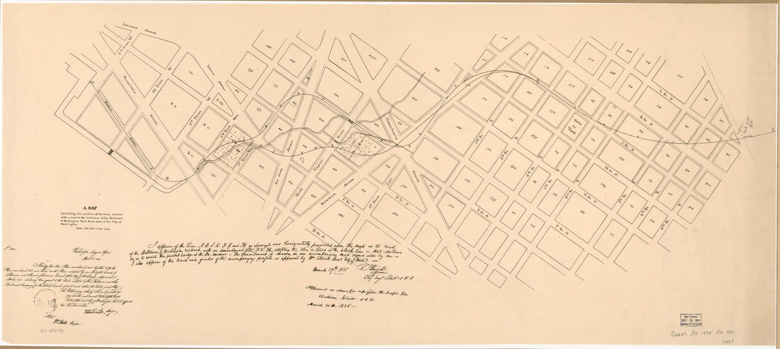 A Map Exhibiting the Position of Two Lines Located With a View to the Extension of the Baltimore & Washington Rail Road Within the City of Washington 1835A Map Exhibiting the Position of Two Lines Located With a View to the Extension of the Baltimore & Washington Rail Road Within the City of Washington 1835
- Regular price
-
$46.95 $99.95 - Regular price
-
$41.95 - Sale price
-
$46.95 $99.95
-
 A Map Illustrative of the Route of the Proposed Railroad : From St. Louis to the Bay of San Francisco in 1850A Map Illustrative of the Route of the Proposed Railroad : From St. Louis to the Bay of San Francisco in 1850
- Regular price
-
$46.95 $99.95 - Regular price
-
$41.95 - Sale price
-
$46.95 $99.95
-
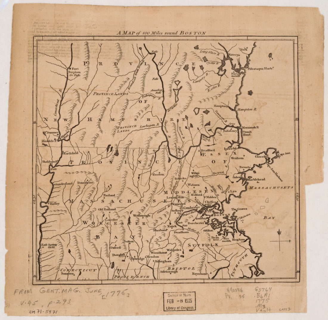 A Map of 100 Miles Round Boston 1775A Map of 100 Miles Round Boston 1775
- Regular price
-
$39.95 $83.95 - Regular price
-
$29.95 - Sale price
-
$39.95 $83.95
-
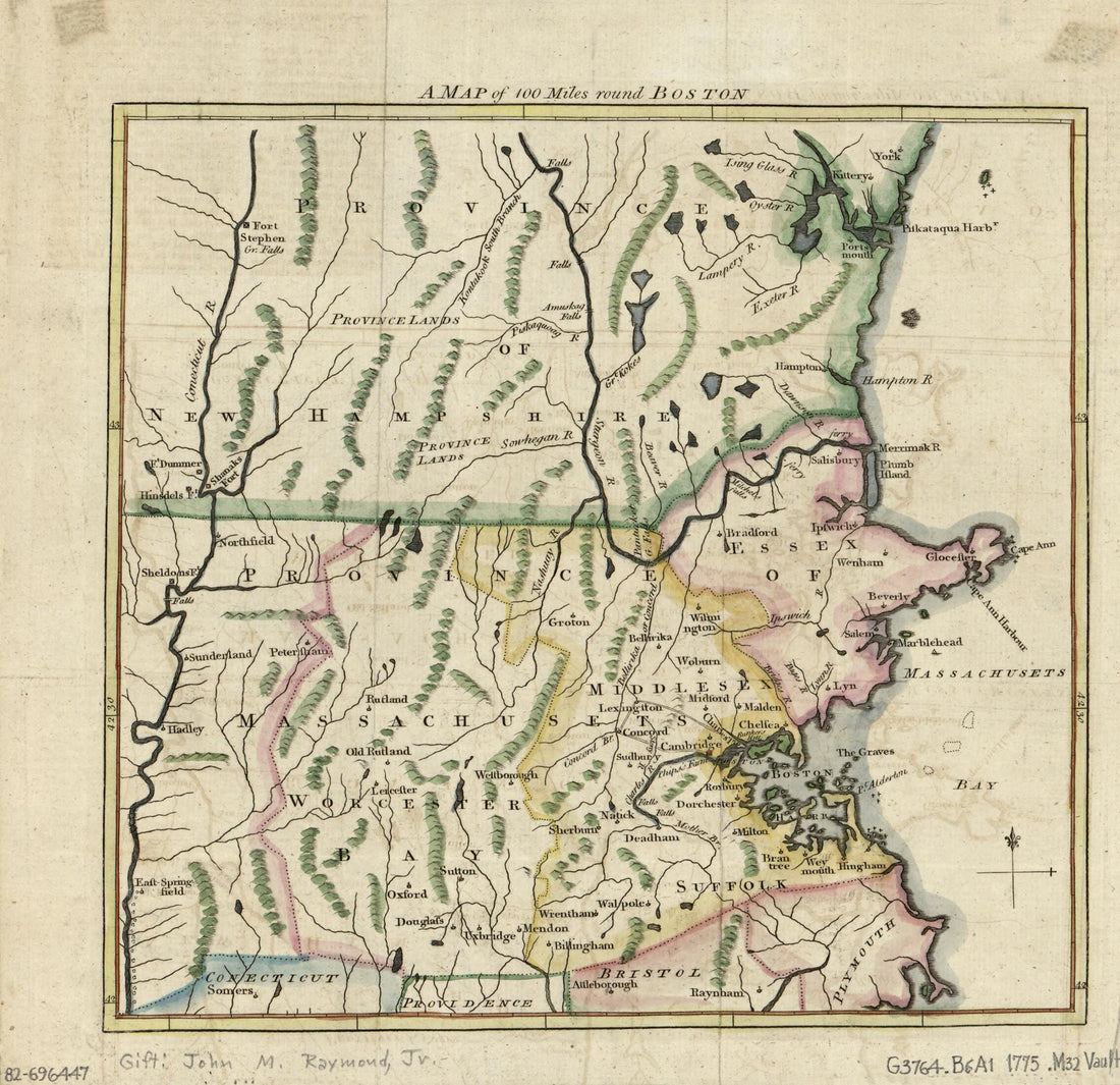 A Map of 100 Miles Round Boston in 1775A Map of 100 Miles Round Boston in 1775
- Regular price
-
$39.95 $83.95 - Regular price
-
$29.95 - Sale price
-
$39.95 $83.95
-
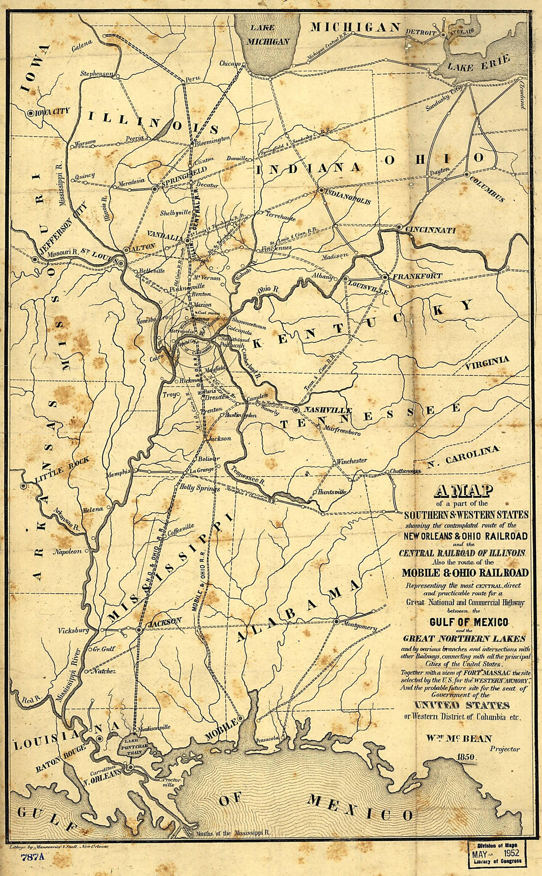 A Map of a Part of the Southern & Western States Showing the Contemplated Route of the New Orleans & Ohio Railroad and the Central Railroad of Illinois, Also the Route of the Mobile & Ohio Railroad Representing the Most Central, Direct and Practicable...A Map of a Part of the Southern & Western States Showing the Contemplated Route of the New Orleans & Ohio Railroad and the Central Railroad of Illinois, Also the Route of the Mobile & Ohio Railroad Representing the Most Central, Direct and Practicable...
- Regular price
-
$39.95 $99.95 - Regular price
-
$34.95 - Sale price
-
$39.95 $99.95
-
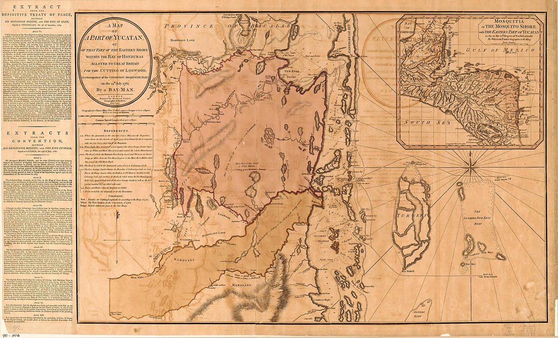 A Map of a Part of Yucatan, Or of That Part of the Eastern Shore Within the Bay of Honduras Alloted to Great Britain for the Cutting of Logwood, In Consequence of the Convention Signed With Spain On the 14th July 1786 1787A Map of a Part of Yucatan, Or of That Part of the Eastern Shore Within the Bay of Honduras Alloted to Great Britain for the Cutting of Logwood, In Consequence of the Convention Signed With Spain On the 14th July 1786 1787
- Regular price
-
$46.95 $190.95 - Regular price
-
$41.95 - Sale price
-
$46.95 $190.95
-
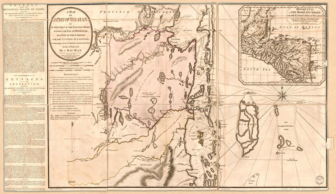 A Map of a Part of Yucatan, Or of That Part of the Eastern Shore Within the Bay of Honduras Alloted to Great Britain for the Cutting of Logwood, In Consequence of the Convention Signed With Spain On the 14th July 1786 1787A Map of a Part of Yucatan, Or of That Part of the Eastern Shore Within the Bay of Honduras Alloted to Great Britain for the Cutting of Logwood, In Consequence of the Convention Signed With Spain On the 14th July 1786 1787
- Regular price
-
$46.95 $99.95 - Regular price
-
$41.95 - Sale price
-
$46.95 $99.95
-
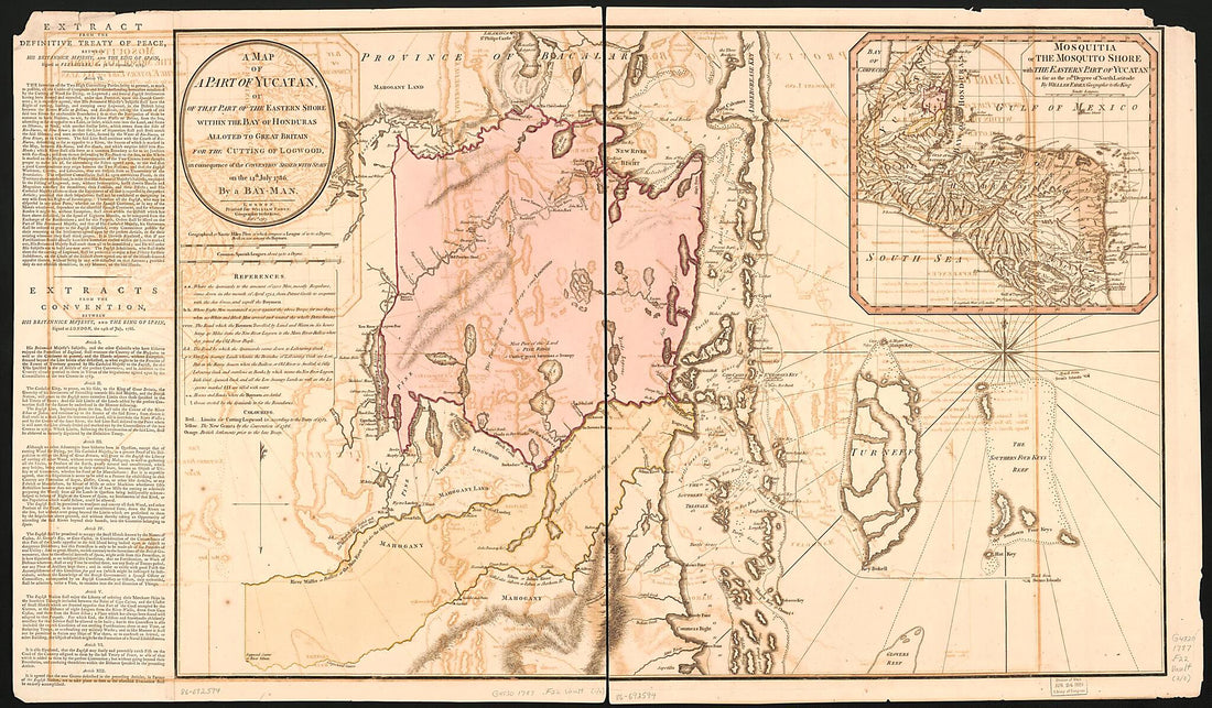 A Map of a Part of Yucatan, Or of That Part of the Eastern Shore Within the Bay of Honduras Alloted to Great Britain for the Cutting of Logwood, In Consequence of the Convention Signed With Spain On the 14th July 1786 1787A Map of a Part of Yucatan, Or of That Part of the Eastern Shore Within the Bay of Honduras Alloted to Great Britain for the Cutting of Logwood, In Consequence of the Convention Signed With Spain On the 14th July 1786 1787
- Regular price
-
$46.95 $198.95 - Regular price
-
$41.95 - Sale price
-
$46.95 $198.95
-
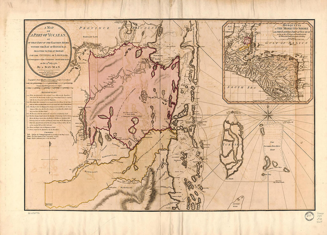 A Map of a Part of Yucatan, Or of That Part of the Eastern Shore Within the Bay of Honduras Alloted to Great Britain for the Cutting of Logwood, In Consequence of the Convention Signed With Spain On the 14th July 1786 1787A Map of a Part of Yucatan, Or of That Part of the Eastern Shore Within the Bay of Honduras Alloted to Great Britain for the Cutting of Logwood, In Consequence of the Convention Signed With Spain On the 14th July 1786 1787
- Regular price
-
$43.95 $205.95 - Regular price
-
$38.95 - Sale price
-
$43.95 $205.95
-
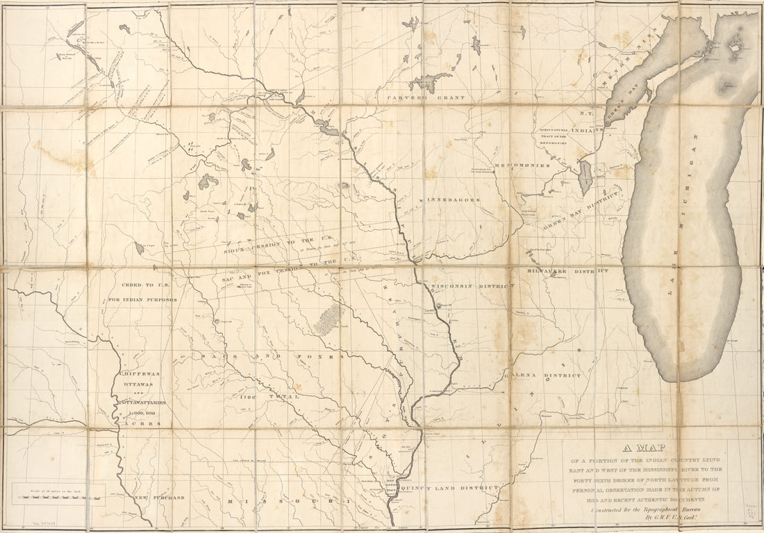 A Map of a Portion of the Indian Country Lying East and West of the Mississippi River to the Forty Sixth Degree of North Latitude From Personal Observation Made In the Autumn of 1835 and Recent Authentic Documents in 1836A Map of a Portion of the Indian Country Lying East and West of the Mississippi River to the Forty Sixth Degree of North Latitude From Personal Observation Made In the Autumn of 1835 and Recent Authentic Documents in 1836
- Regular price
-
$46.95 $187.95 - Regular price
-
$41.95 - Sale price
-
$46.95 $187.95
-
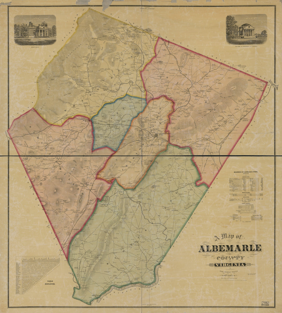 A Map of Albemarle County, Virginia in 1875A Map of Albemarle County, Virginia in 1875
- Regular price
-
$43.95 $219.95 - Regular price
-
$38.95 - Sale price
-
$43.95 $219.95
-
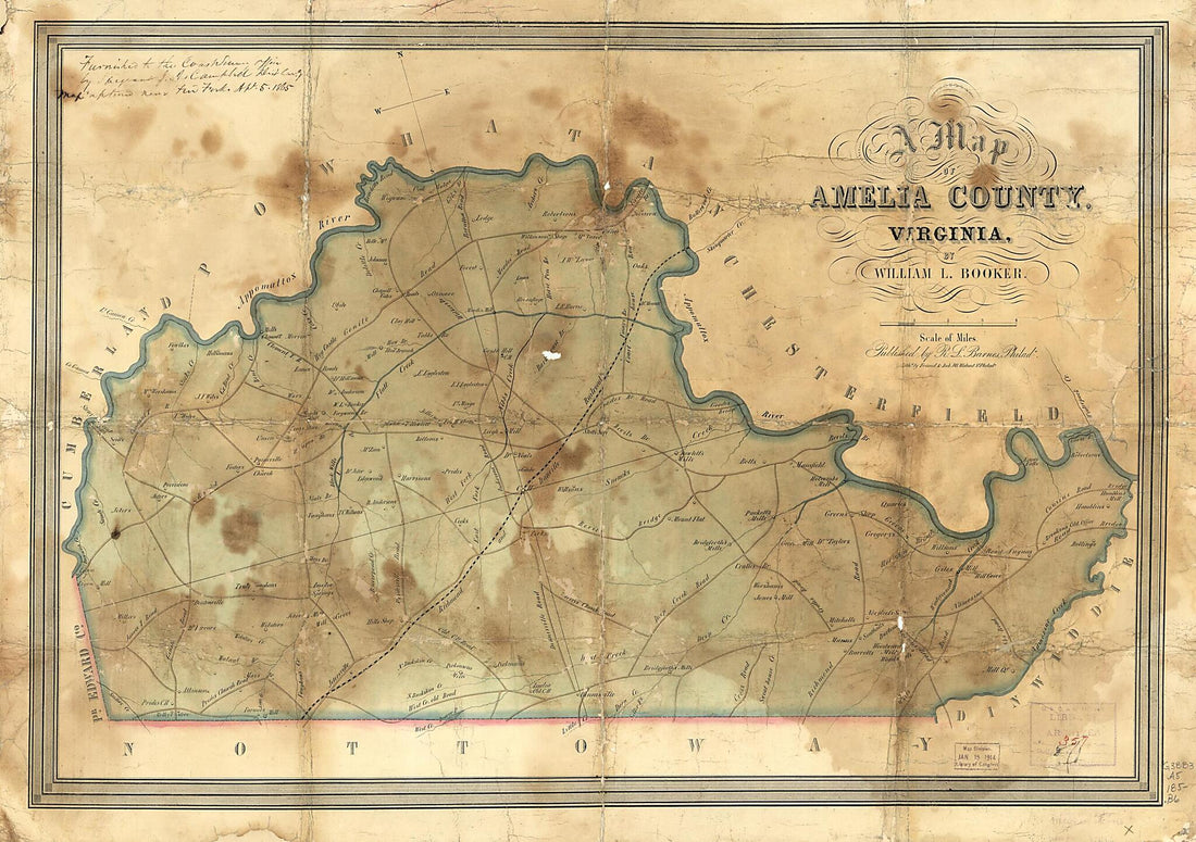 A Map of Amelia County, Virginia (Amelia County, Virginia) 1850A Map of Amelia County, Virginia (Amelia County, Virginia) 1850
- Regular price
-
$46.95 $123.95 - Regular price
-
$41.95 - Sale price
-
$46.95 $123.95


