Quick links
25001 products
-
 A Map of Connecticut and Rhode Island With Long Island Sound, &c 1776A Map of Connecticut and Rhode Island With Long Island Sound, &c 1776
- Regular price
-
$39.95 $83.95 - Regular price
-
$29.95 - Sale price
-
$39.95 $83.95
-
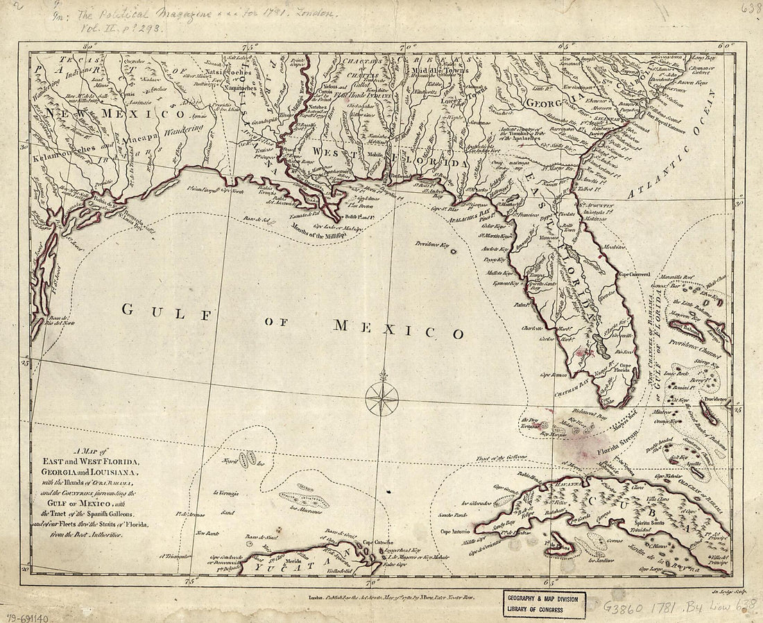 A Map of East and West Florida, Georgia, and Louisiana : With the Islands of Cuba, Bahama, and the Countries Surrounding the Gulf of Mexico, With the Tract of the Spanish Galleons, and of Our Fleets Thro' the Straits of Florida, from the Best Authorit...A Map of East and West Florida, Georgia, and Louisiana : With the Islands of Cuba, Bahama, and the Countries Surrounding the Gulf of Mexico, With the Tract of the Spanish Galleons, and of Our Fleets Thro' the Straits of Florida, from the Best Authorit...
- Regular price
-
$39.95 $83.95 - Regular price
-
$34.95 - Sale price
-
$39.95 $83.95
-
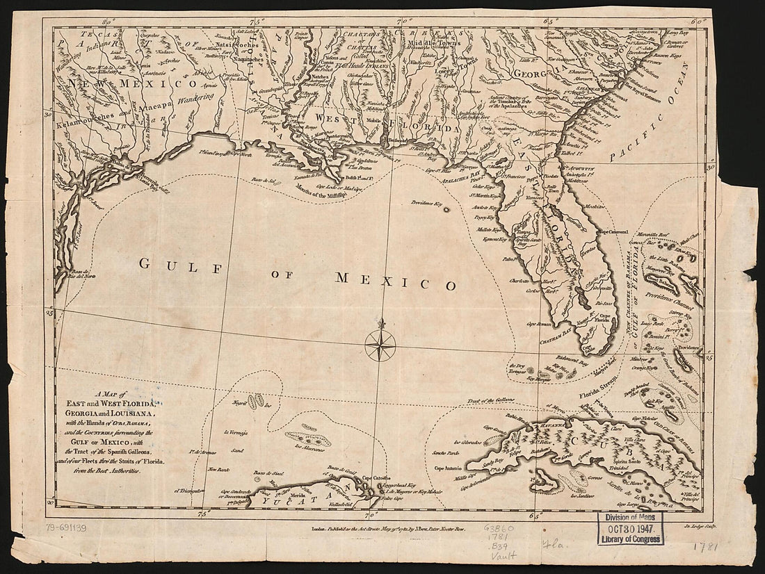 A Map of East and West Florida, Georgia, and Louisiana : With the Islands of Cuba, Bahama, and the Countries Surrounding the Gulf of Mexico, With the Tract of the Spanish Galleons, and of Our Fleets Thro' the Straits of Florida, from the Best Authorit...A Map of East and West Florida, Georgia, and Louisiana : With the Islands of Cuba, Bahama, and the Countries Surrounding the Gulf of Mexico, With the Tract of the Spanish Galleons, and of Our Fleets Thro' the Straits of Florida, from the Best Authorit...
- Regular price
-
$39.95 $88.95 - Regular price
-
$34.95 - Sale price
-
$39.95 $88.95
-
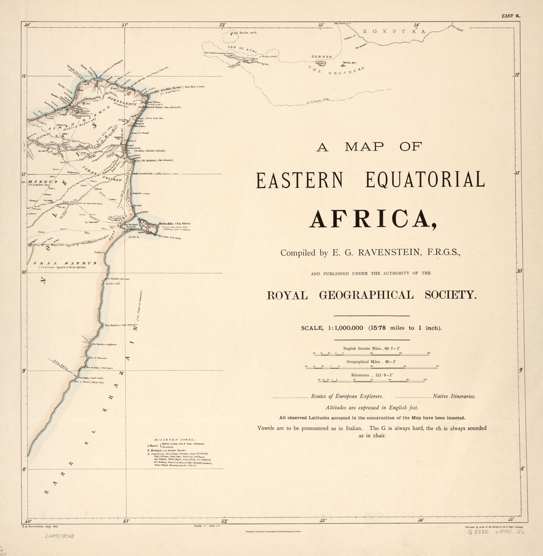 A Map of Eastern Equatorial Africa 1881A Map of Eastern Equatorial Africa 1881
- Regular price
-
$43.95 $107.95 - Regular price
-
$38.95 - Sale price
-
$43.95 $107.95
-
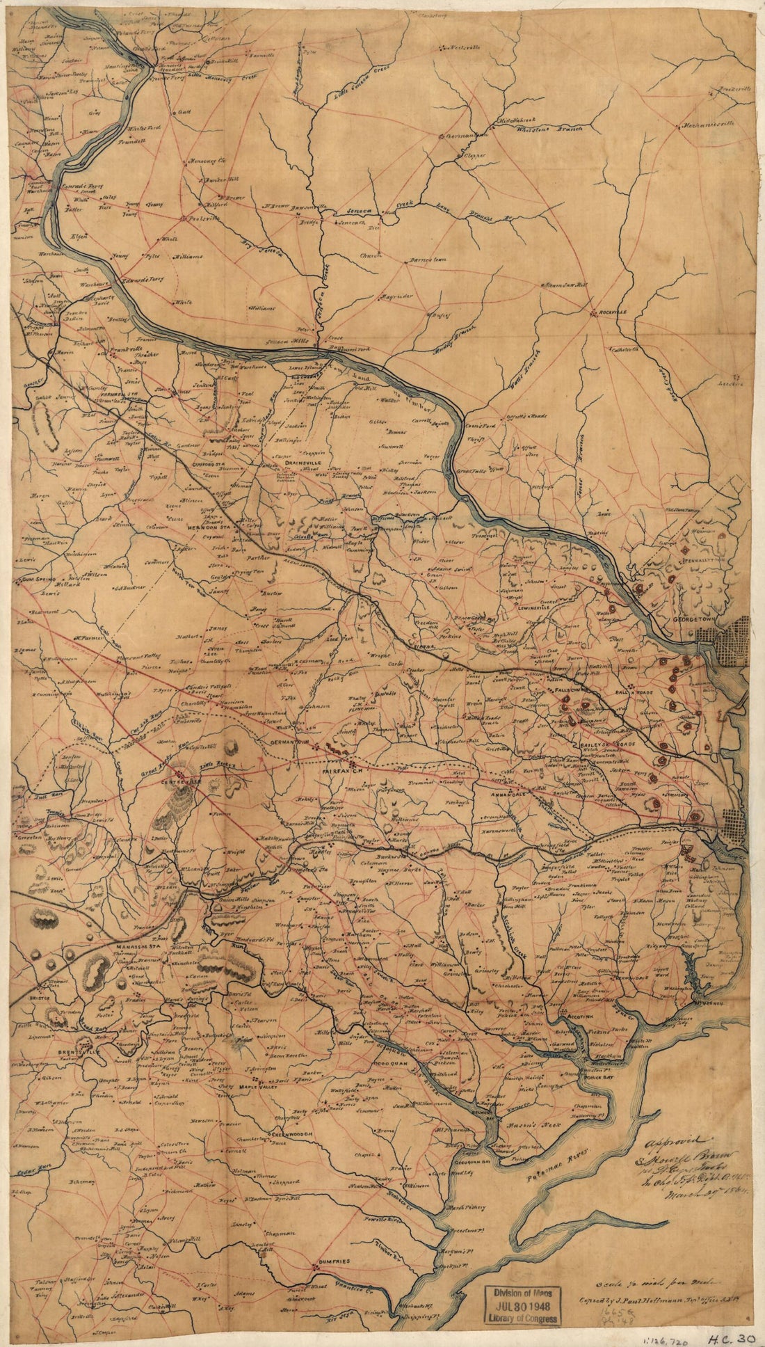 A Map of Fairfax County, and Parts of Loudoun and Prince William Counties, Va., and the District of Columbia 1864A Map of Fairfax County, and Parts of Loudoun and Prince William Counties, Va., and the District of Columbia 1864
- Regular price
-
$39.95 $99.95 - Regular price
-
$34.95 - Sale price
-
$39.95 $99.95
-
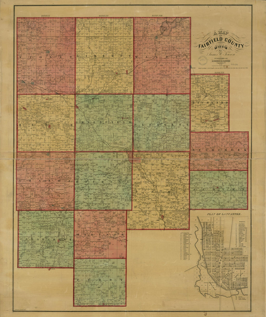 A Map of Fairfield County, Ohio 1848A Map of Fairfield County, Ohio 1848
- Regular price
-
$43.95 $94.95 - Regular price
-
$38.95 - Sale price
-
$43.95 $94.95
-
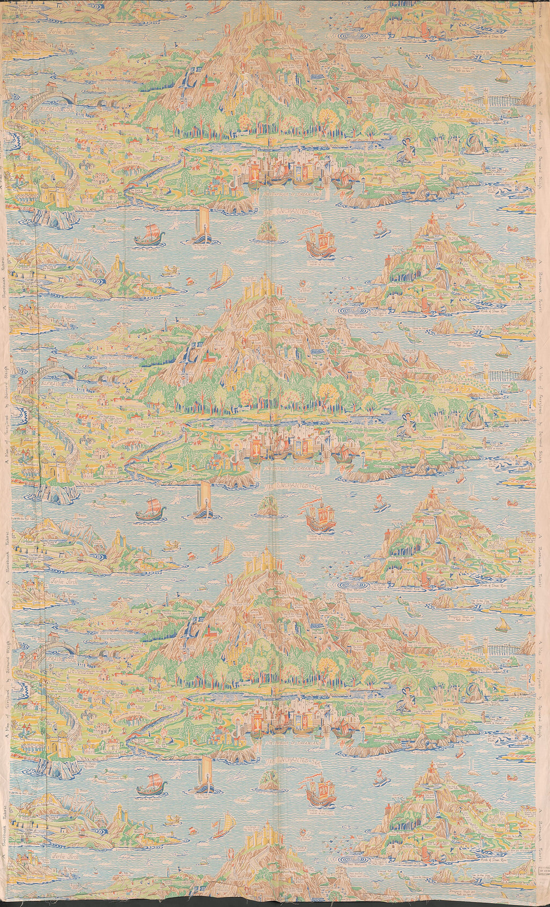 A Map of Fairyland : imaginary Locality in 1920A Map of Fairyland : imaginary Locality in 1920
- Regular price
-
$46.95 $248.95 - Regular price
-
$41.95 - Sale price
-
$46.95 $248.95
-
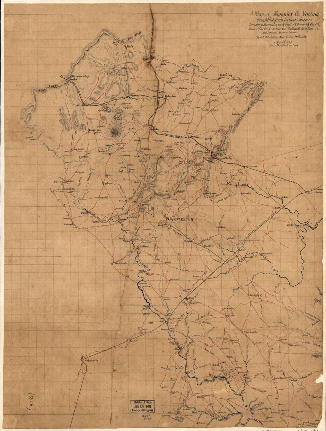 A Map of Fauquier Co. Virginia (Map of Fauquier County, Virginia) 1863A Map of Fauquier Co. Virginia (Map of Fauquier County, Virginia) 1863
- Regular price
-
$43.95 $88.95 - Regular price
-
$32.95 - Sale price
-
$43.95 $88.95
-
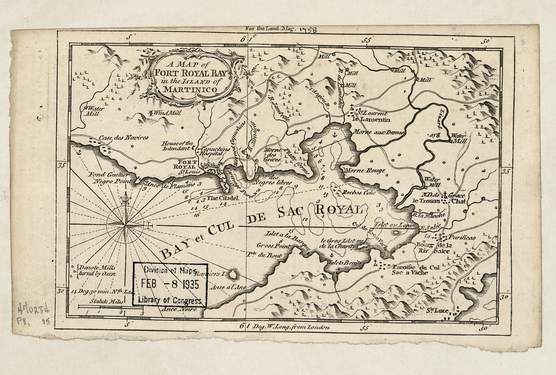 A Map of Fort Royal Bay In the Island of Martinico 1758A Map of Fort Royal Bay In the Island of Martinico 1758
- Regular price
-
$39.95 $99.95 - Regular price
-
$29.95 - Sale price
-
$39.95 $99.95
-
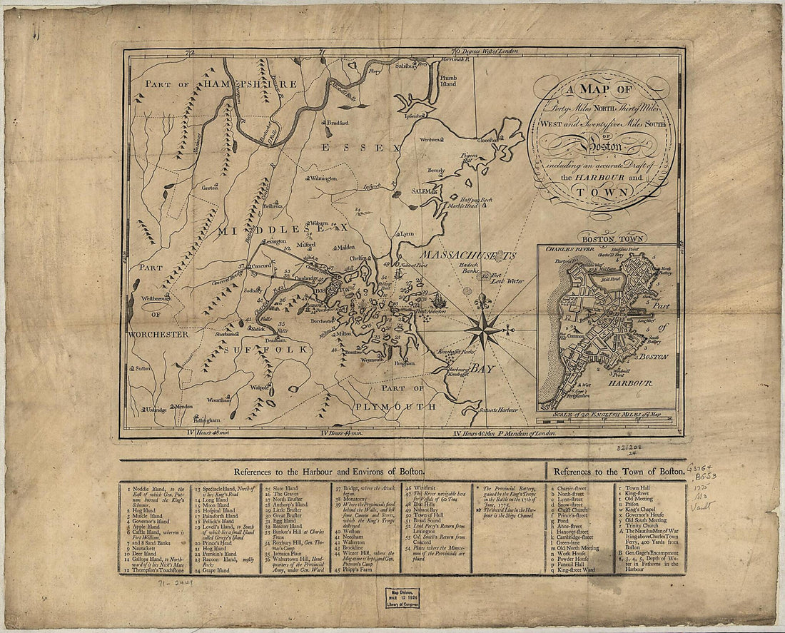 A Map of Forty Miles North, Thirty Miles West, and Twentyfive Miles South of Boston, Including an Accurate Draft of the Harbour and Town 1775A Map of Forty Miles North, Thirty Miles West, and Twentyfive Miles South of Boston, Including an Accurate Draft of the Harbour and Town 1775
- Regular price
-
$39.95 $83.95 - Regular price
-
$32.95 - Sale price
-
$39.95 $83.95
-
 A Map of General Washington's Farm of Mount Vernon from a Drawing Transmitted by the General 1801A Map of General Washington's Farm of Mount Vernon from a Drawing Transmitted by the General 1801
- Regular price
-
$41.95 $88.95 - Regular price
-
$32.95 - Sale price
-
$41.95 $88.95
-
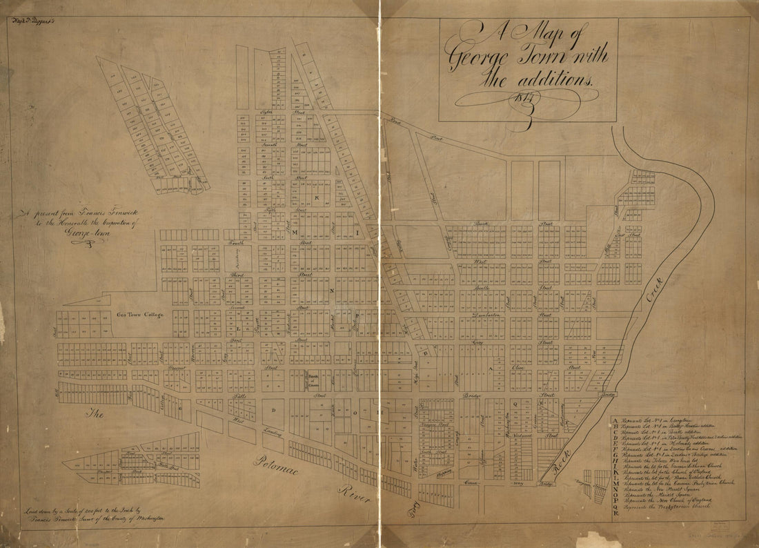 A Map of George Town With the Additions : 1814A Map of George Town With the Additions : 1814
- Regular price
-
$43.95 $135.95 - Regular price
-
$32.95 - Sale price
-
$43.95 $135.95


