467 products
-
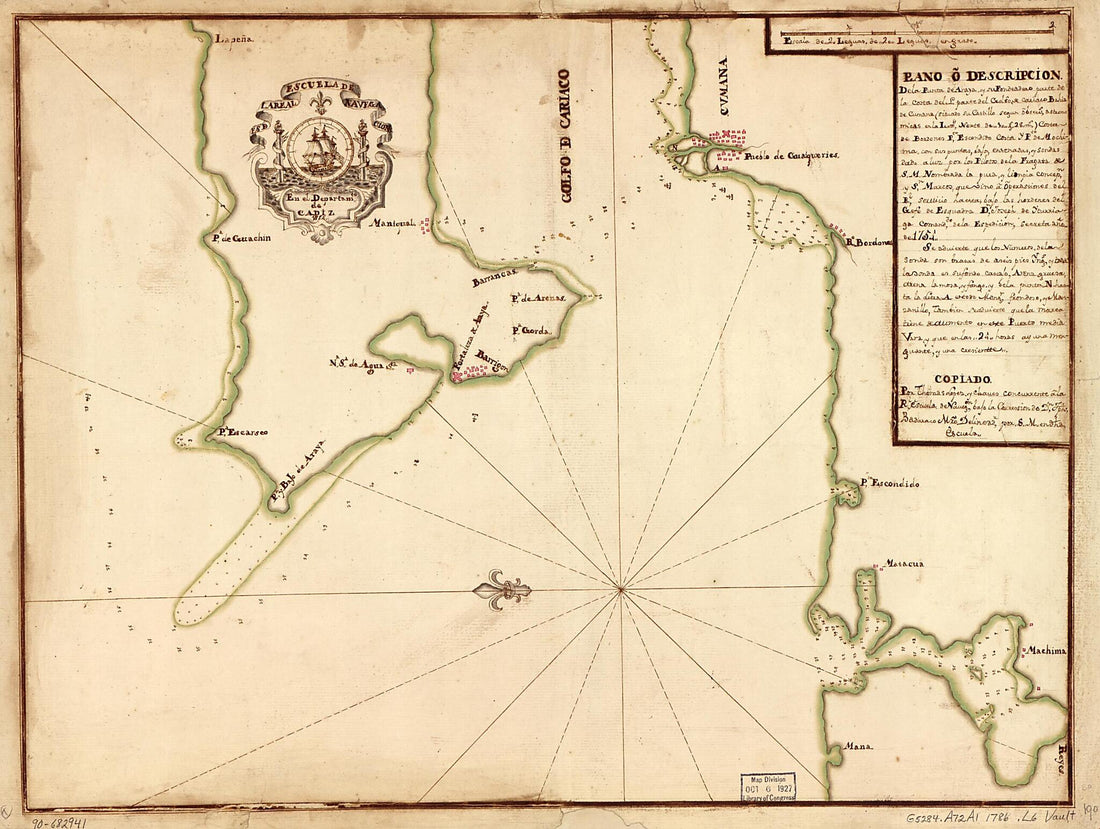 Plano O Descripción De La Punta De Araya Y Su Fondeadero, Parte De La Costa Del L, Parte Del Golfo De Cariaco, Bahía De Cumana (situado Su Castillo Segun Observs. Astronómicas En La Lattd. Norte De 10 Gs. 28 Ms.), Costa De Bordones, Pto. Escondido,...Plano O Descripción De La Punta De Araya Y Su Fondeadero, Parte De La Costa Del L, Parte Del Golfo De Cariaco, Bahía De Cumana (situado Su Castillo Segun Observs. Astronómicas En La Lattd. Norte De 10 Gs. 28 Ms.), Costa De Bordones, Pto. Escondido,...
- Regular price
-
$43.95 $88.95 - Regular price
-
$33.95 - Sale price
-
$43.95 $88.95
-
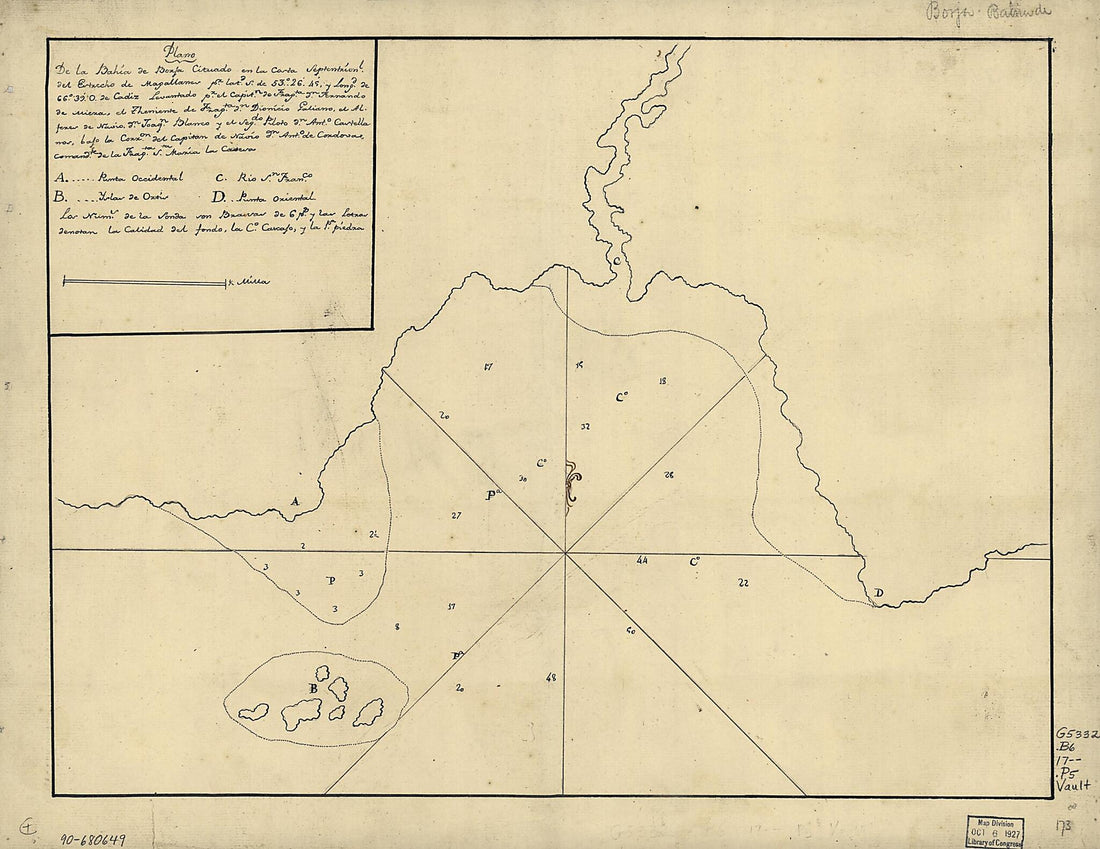 Plano De La Bahía De Borja Cituado En La Costa Septentrionl. Del Estrecho De Magallanes Pr. Latd. S. De 53⁰26ʹ45ʹ sic Y Longd. De 66⁰39ʹ O. De Cádiz 1700Plano De La Bahía De Borja Cituado En La Costa Septentrionl. Del Estrecho De Magallanes Pr. Latd. S. De 53⁰26ʹ45ʹ sic Y Longd. De 66⁰39ʹ O. De Cádiz 1700
- Regular price
-
$43.95 $88.95 - Regular price
-
$30.95 - Sale price
-
$43.95 $88.95
-
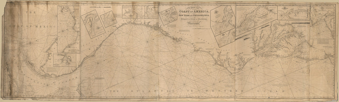 A Chart of the Coast of America : From New York and Philadelphia to the Strait Or Gulf of Florida, and From Thence to the Mississippi in 1837A Chart of the Coast of America : From New York and Philadelphia to the Strait Or Gulf of Florida, and From Thence to the Mississippi in 1837
- Regular price
-
$46.95 $285.95 - Regular price
-
$41.95 - Sale price
-
$46.95 $285.95
-
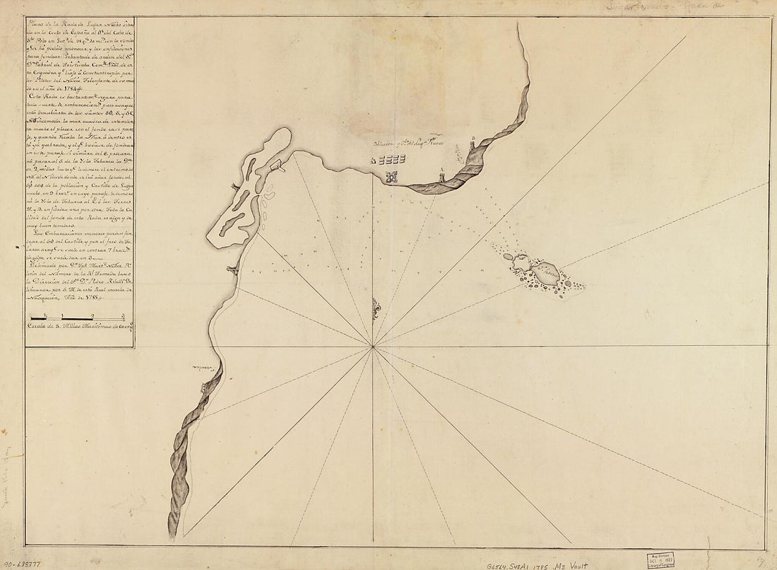 Plano De La Rada De Lugan Nuebo Situada En La Costa De España Al Ote. Del Cabo De Sta. Pola En Latd. De 38 Gs. 20 Ms. Con La Sonda Qe. Se Ha Podido Reconocer Y Las Enfilaciones Para Fondear : Lebantado De Orden Del Sor. Dn. Gabriel De Aristisaba, Com...Plano De La Rada De Lugan Nuebo Situada En La Costa De España Al Ote. Del Cabo De Sta. Pola En Latd. De 38 Gs. 20 Ms. Con La Sonda Qe. Se Ha Podido Reconocer Y Las Enfilaciones Para Fondear : Lebantado De Orden Del Sor. Dn. Gabriel De Aristisaba, Com...
- Regular price
-
$43.95 $143.95 - Regular price
-
$38.95 - Sale price
-
$43.95 $143.95
-
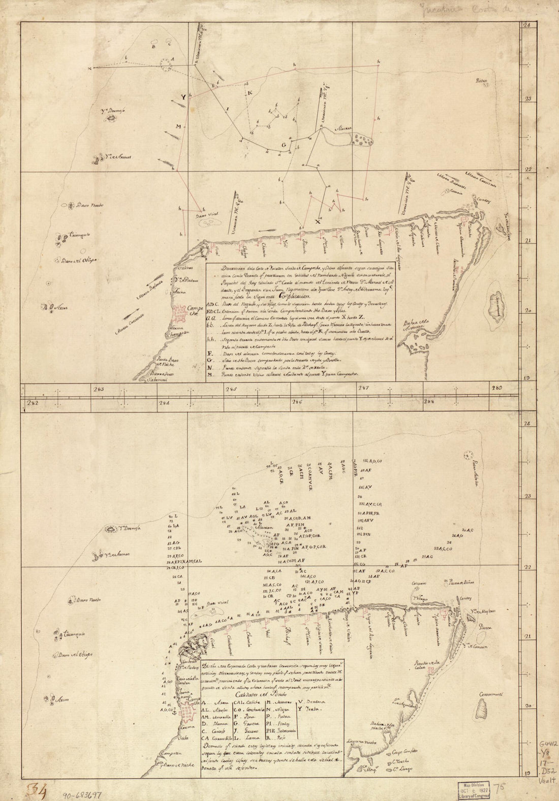 Map Showing Coast of Northern Yucatán Peninsula in 1700Map Showing Coast of Northern Yucatán Peninsula in 1700
- Regular price
-
$46.95 $99.95 - Regular price
-
$41.95 - Sale price
-
$46.95 $99.95
-
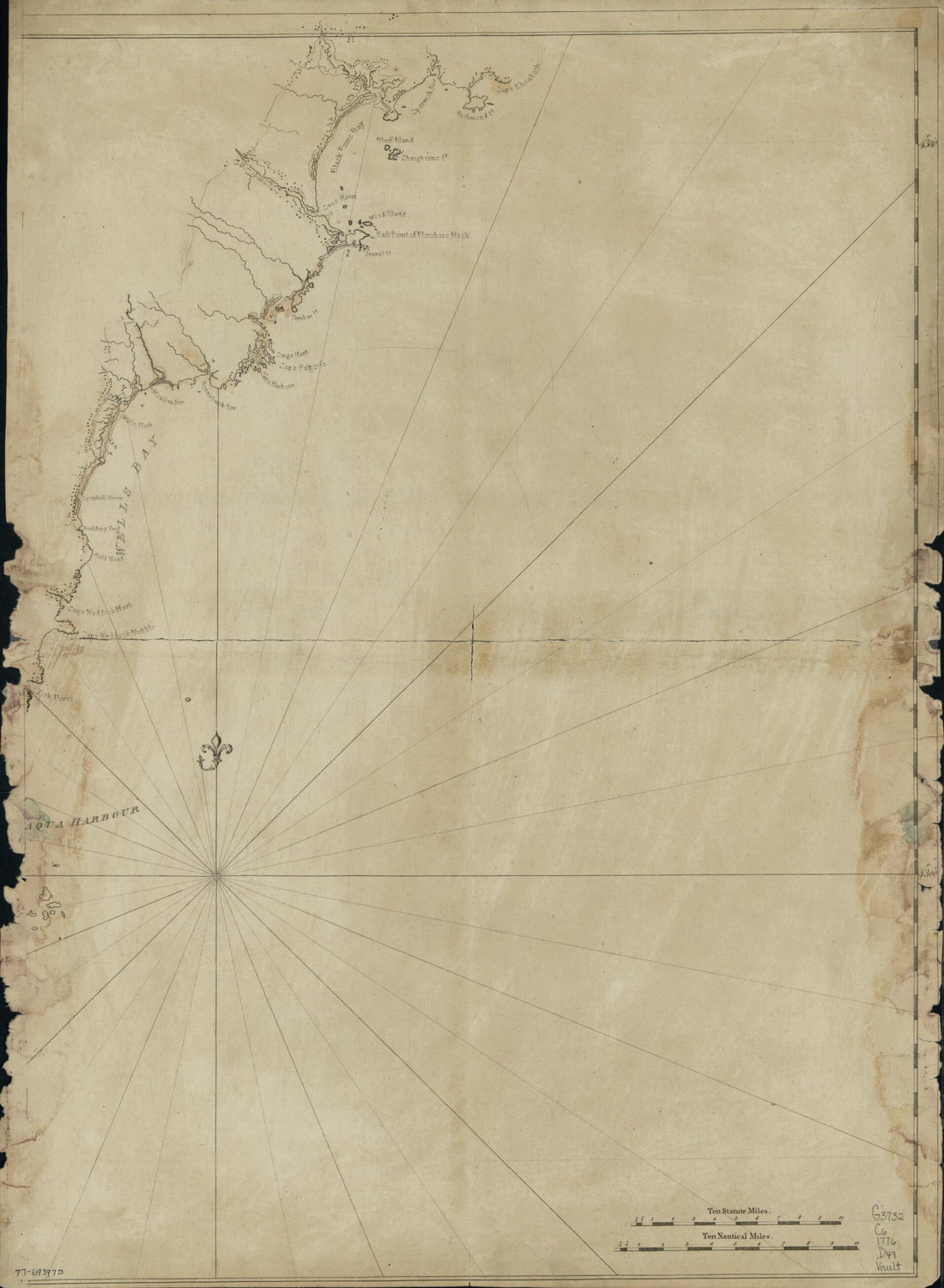 Coast of New England From Cape Elizabeth, Maine to Newburyport, Mass in 1776Coast of New England From Cape Elizabeth, Maine to Newburyport, Mass in 1776
- Regular price
-
$43.95 $88.95 - Regular price
-
$38.95 - Sale price
-
$43.95 $88.95
-
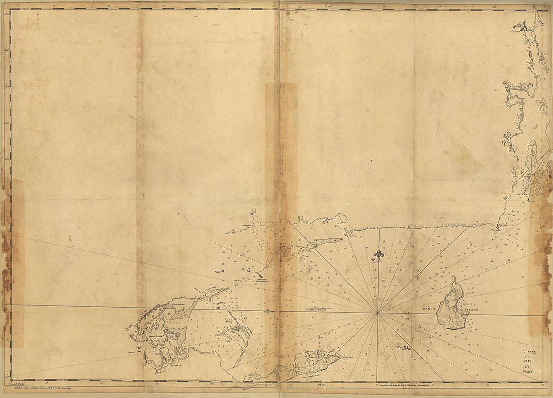 Coast of Rhode Island and Long Island from Narragansett Bay to Peconic Bay 1779Coast of Rhode Island and Long Island from Narragansett Bay to Peconic Bay 1779
- Regular price
-
$43.95 $132.95 - Regular price
-
$38.95 - Sale price
-
$43.95 $132.95
-
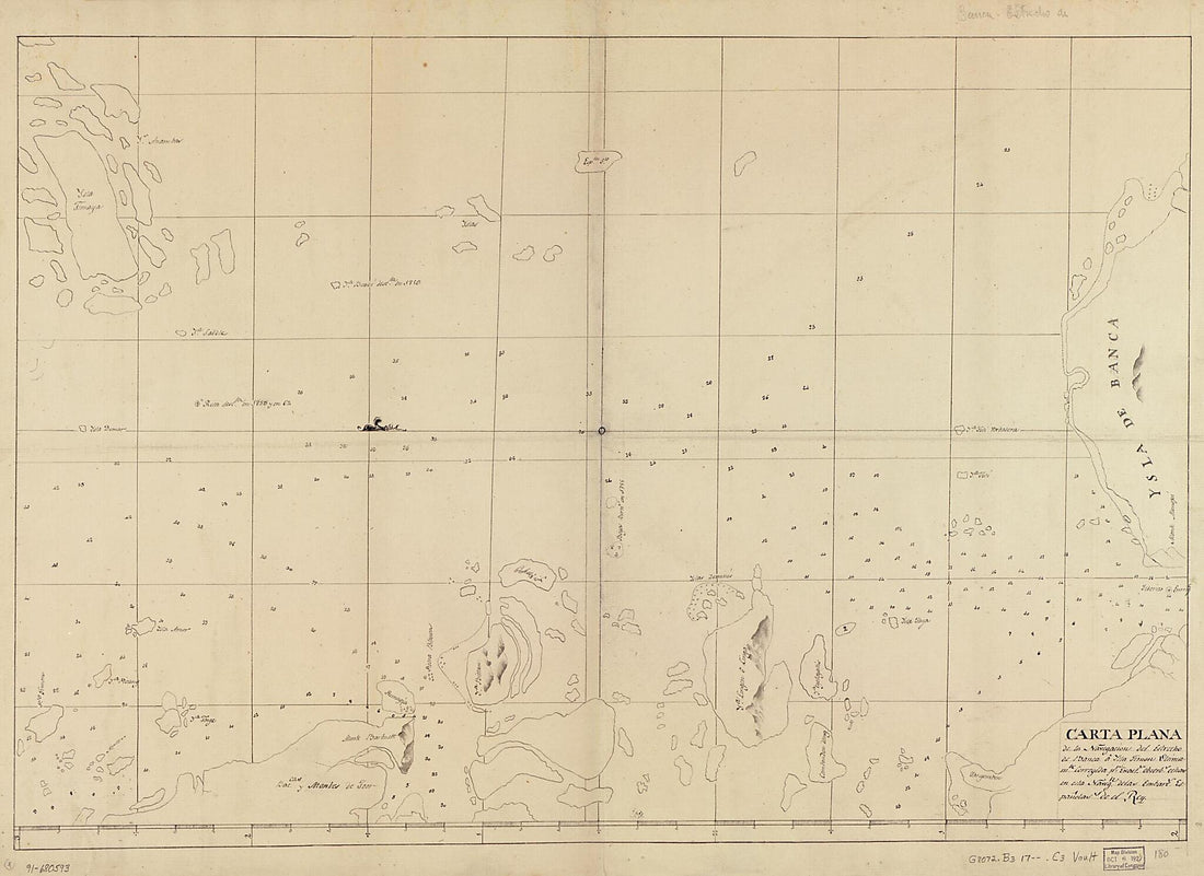 Carta Plana De La Navegación Del Estrecho De Banca a Ysla Timon Ultimamte. Corregida Pr. Exacts. Obserbs. Echas En Esta Navegn. De Las Embarcs. Españolas De El Rey 1700Carta Plana De La Navegación Del Estrecho De Banca a Ysla Timon Ultimamte. Corregida Pr. Exacts. Obserbs. Echas En Esta Navegn. De Las Embarcs. Españolas De El Rey 1700
- Regular price
-
$43.95 $143.95 - Regular price
-
$38.95 - Sale price
-
$43.95 $143.95
-
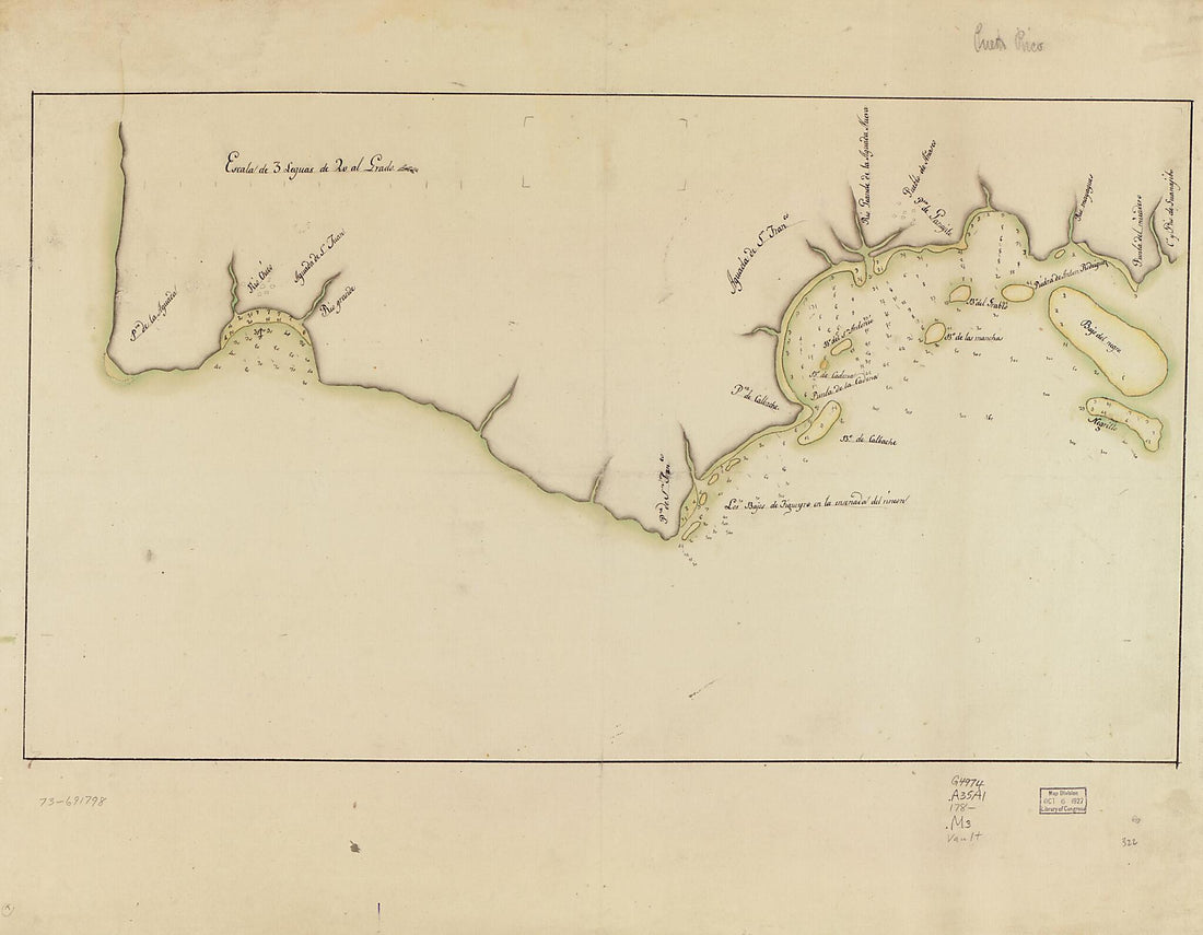 Map Showing Coast In the Regions of Aguadilla, Añasco, and Mayagüez 1780Map Showing Coast In the Regions of Aguadilla, Añasco, and Mayagüez 1780
- Regular price
-
$43.95 $120.95 - Regular price
-
$38.95 - Sale price
-
$43.95 $120.95
-
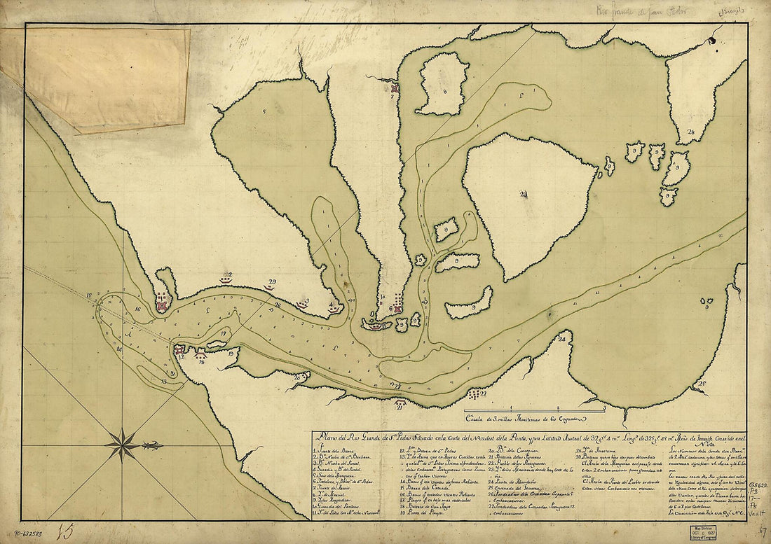 Plano Del Rio Grande De Sn. Pedro Situado En La Costa Del Nordest De La Punta Y Por Latitud Austral De 32 Gs. 4 Ms., Longd. De 325 Gs. 45 Ms., Mero. De Tenerife Corre'ido En El 1737Plano Del Rio Grande De Sn. Pedro Situado En La Costa Del Nordest De La Punta Y Por Latitud Austral De 32 Gs. 4 Ms., Longd. De 325 Gs. 45 Ms., Mero. De Tenerife Corre'ido En El 1737
- Regular price
-
$43.95 $143.95 - Regular price
-
$38.95 - Sale price
-
$43.95 $143.95
-
 Map of Coast From Southern Florida to Central New Jersey in 1780Map of Coast From Southern Florida to Central New Jersey in 1780
- Regular price
-
$46.95 $105.95 - Regular price
-
$41.95 - Sale price
-
$46.95 $105.95
-
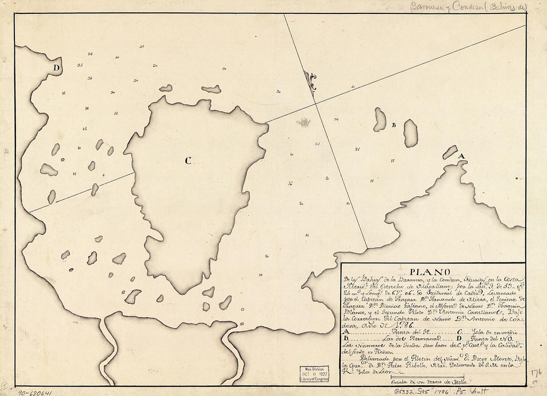 Plano De Las Bahías De La Baronesa Y La Condoza Situadas En La Costa Meridl. Del Estrecho De Magallanes Por La Lattd. S. De 53 Gs. 24 Ms. Y Longd. De 67⁰06ʹ10ʺ Occidental De Cádiz 1786Plano De Las Bahías De La Baronesa Y La Condoza Situadas En La Costa Meridl. Del Estrecho De Magallanes Por La Lattd. S. De 53 Gs. 24 Ms. Y Longd. De 67⁰06ʹ10ʺ Occidental De Cádiz 1786
- Regular price
-
$39.95 $88.95 - Regular price
-
$34.95 - Sale price
-
$39.95 $88.95


