467 products
-
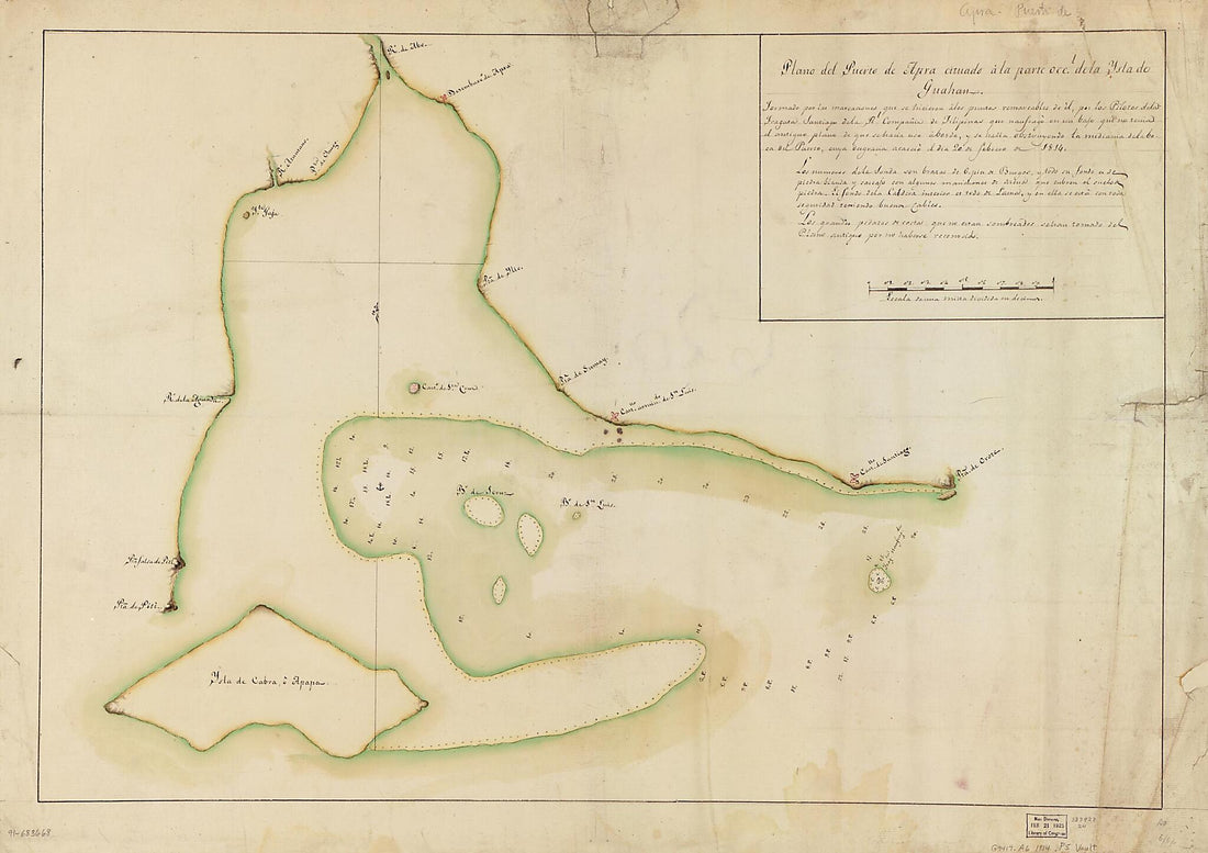 Plano Del Puerto De Apra Cituado a La Parte Occl. De La Ysla Do Guahan in 1814Plano Del Puerto De Apra Cituado a La Parte Occl. De La Ysla Do Guahan in 1814
- Regular price
-
$43.95 $149.95 - Regular price
-
$38.95 - Sale price
-
$43.95 $149.95
-
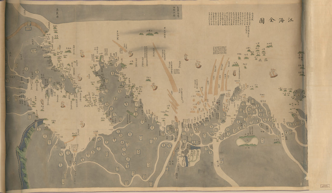 江海全圖, Man Ling Biao Jiang Hai Quan Tu, Complete Map of Rivers and Coastline in 1812江海全圖, Man Ling Biao Jiang Hai Quan Tu, Complete Map of Rivers and Coastline in 1812
- Regular price
-
$46.95 $170.95 - Regular price
-
$41.95 - Sale price
-
$46.95 $170.95
-
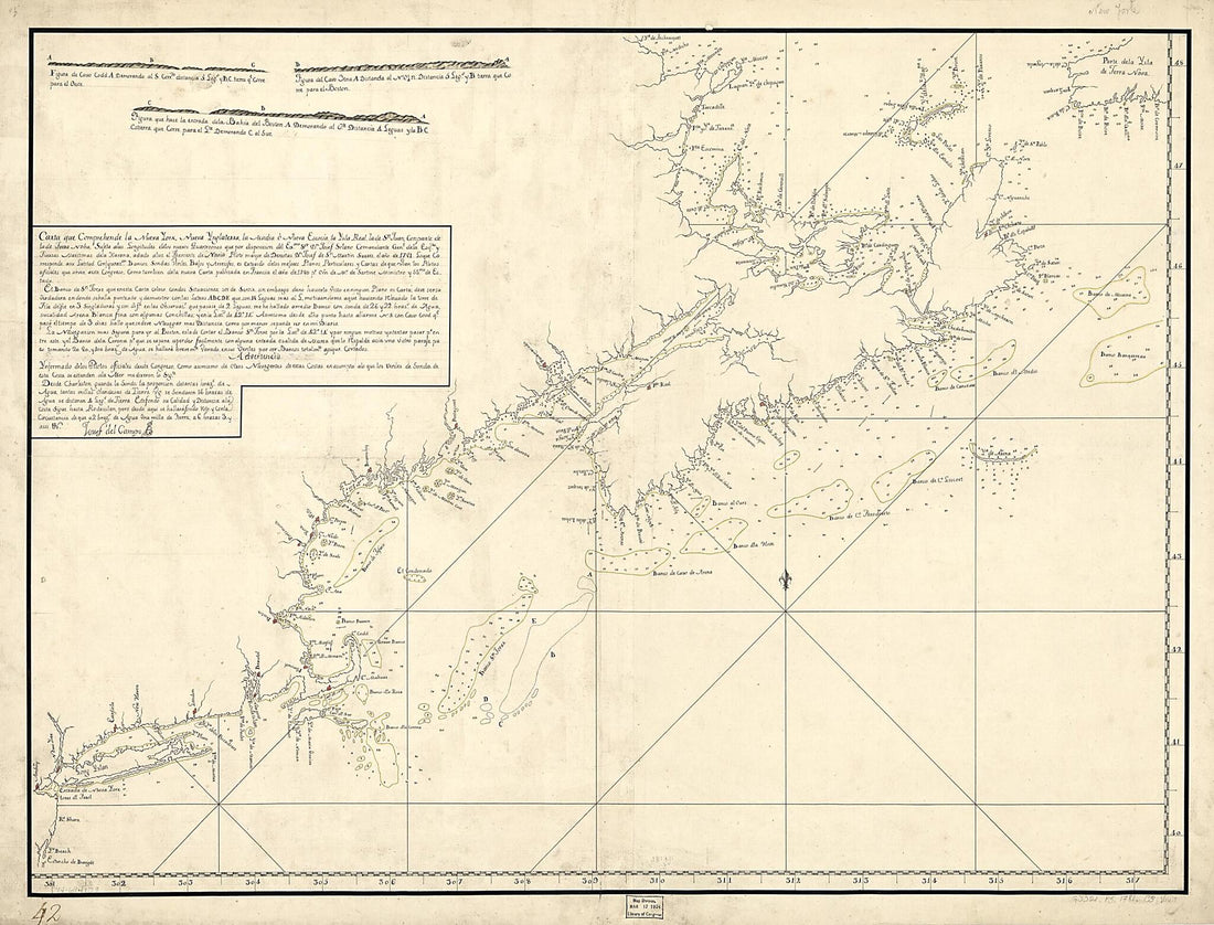 Carta Que Comprehende La Neuva York, Nueva Ynglaterra, La Acadia ò Neuva Escocia La Ysla Real, La De Sn. Juan, Con Parte De La De Terra Noba: 1781Carta Que Comprehende La Neuva York, Nueva Ynglaterra, La Acadia ò Neuva Escocia La Ysla Real, La De Sn. Juan, Con Parte De La De Terra Noba: 1781
- Regular price
-
$43.95 $184.95 - Regular price
-
$38.95 - Sale price
-
$43.95 $184.95
-
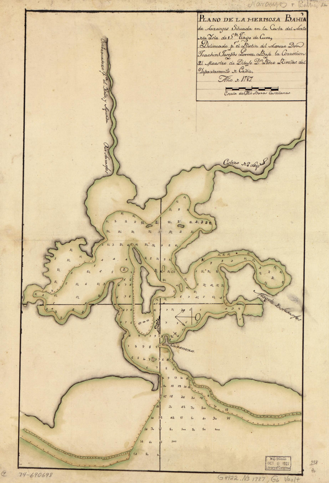 Plano De La Hermosa Bahía De Naranjos Situada En La Costa Del Norte De La Ysla De Sn. Tiago De Cuva; 1787Plano De La Hermosa Bahía De Naranjos Situada En La Costa Del Norte De La Ysla De Sn. Tiago De Cuva; 1787
- Regular price
-
$39.95 $99.95 - Regular price
-
$34.95 - Sale price
-
$39.95 $99.95
-
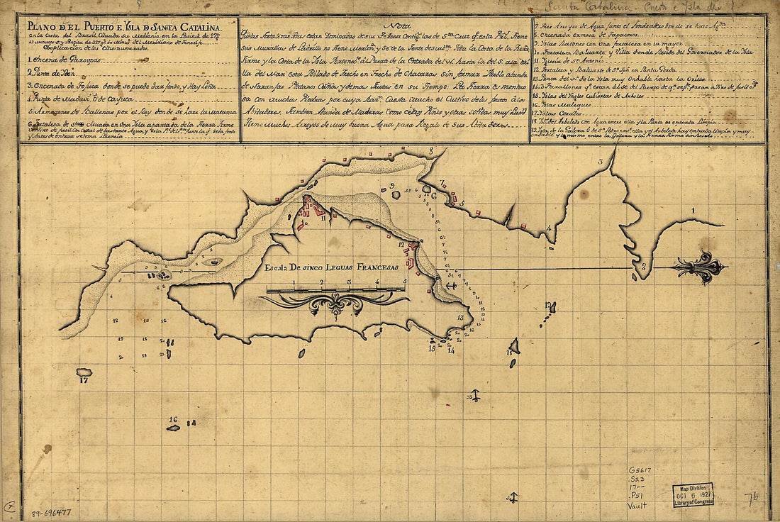 Plano Del Puerto E Ysla De Sancta Catalina En La Costa Del Brasil Cituada Su Mediania En La Latitud De 27 Gs. 42 Minutos S. Y Longitu De 327 Gs. 40 Minute. Del Meridiano De Tenerife 1700Plano Del Puerto E Ysla De Sancta Catalina En La Costa Del Brasil Cituada Su Mediania En La Latitud De 27 Gs. 42 Minutos S. Y Longitu De 327 Gs. 40 Minute. Del Meridiano De Tenerife 1700
- Regular price
-
$39.95 $99.95 - Regular price
-
$34.95 - Sale price
-
$39.95 $99.95
-
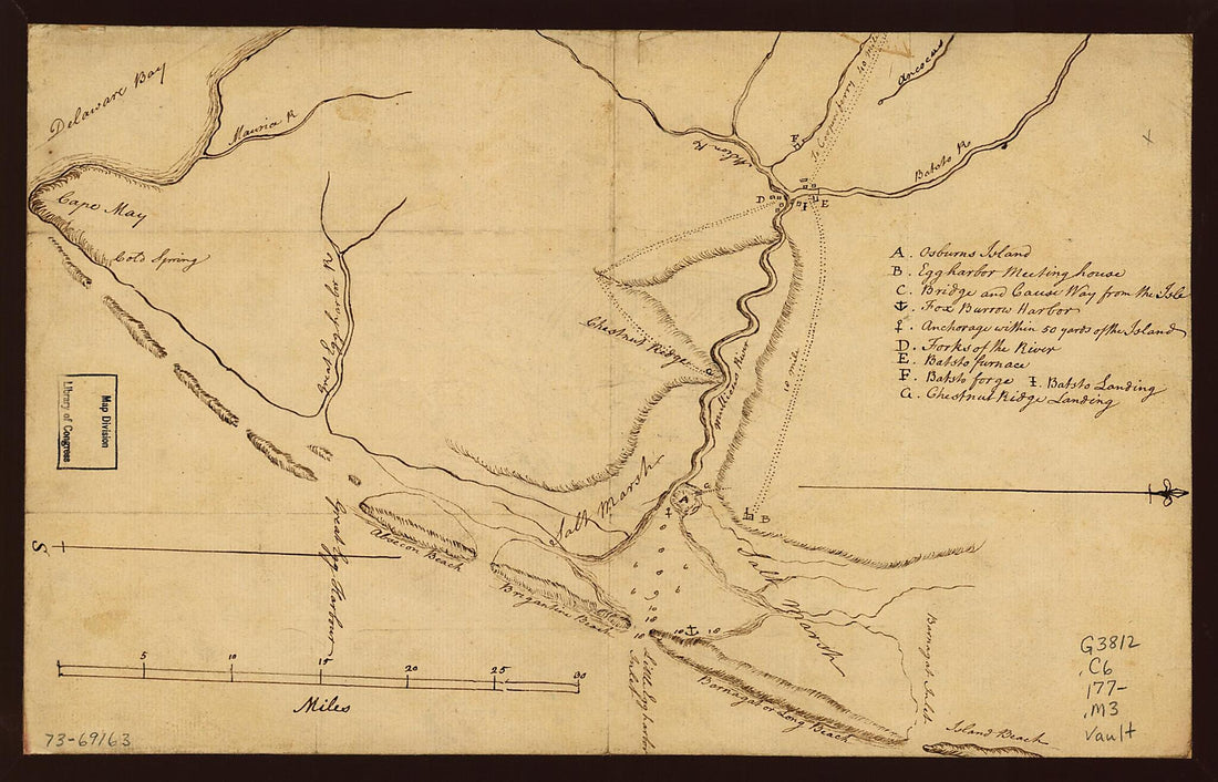 Map of the Coast of New Jersey from Barnegat Inlet to Cape May 1770Map of the Coast of New Jersey from Barnegat Inlet to Cape May 1770
- Regular price
-
$39.95 $99.95 - Regular price
-
$34.95 - Sale price
-
$39.95 $99.95
-
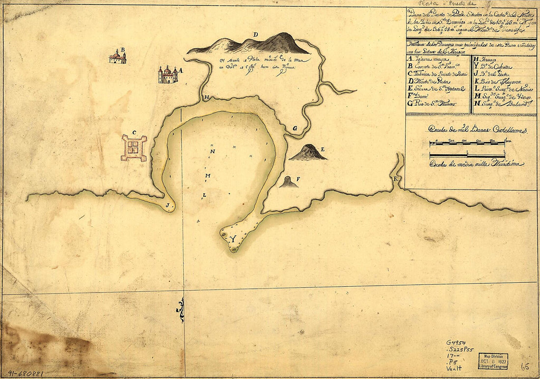 Plano Del Puerto De Plata Situado En La Costa Del Norte De La Ysla De Sto. Domingo En La Latd. De 19 Gs. 43 Ms. N. Y En La Longd. De 306 Gs. 18 Ms. Segun El Merido. De Tenerife 1700Plano Del Puerto De Plata Situado En La Costa Del Norte De La Ysla De Sto. Domingo En La Latd. De 19 Gs. 43 Ms. N. Y En La Longd. De 306 Gs. 18 Ms. Segun El Merido. De Tenerife 1700
- Regular price
-
$39.95 $99.95 - Regular price
-
$34.95 - Sale price
-
$39.95 $99.95
-
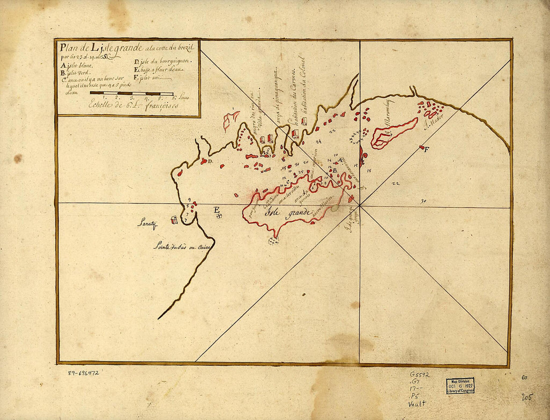 Plan De L'Isle Grande a La Cotte Du Brezil Par Les 23 D. 14 M. S 1700Plan De L'Isle Grande a La Cotte Du Brezil Par Les 23 D. 14 M. S 1700
- Regular price
-
$43.95 $88.95 - Regular price
-
$31.95 - Sale price
-
$43.95 $88.95
-
 Plano De La Costa Comprendida Entre El Rio Colorado O Del Norte Y Rio Asunción En El Norte Del Mar De California 1770Plano De La Costa Comprendida Entre El Rio Colorado O Del Norte Y Rio Asunción En El Norte Del Mar De California 1770
- Regular price
-
$39.95 $99.95 - Regular price
-
$34.95 - Sale price
-
$39.95 $99.95
-
 Plano Del Puerto De La Havana 1791Plano Del Puerto De La Havana 1791
- Regular price
-
$43.95 $115.95 - Regular price
-
$38.95 - Sale price
-
$43.95 $115.95
-
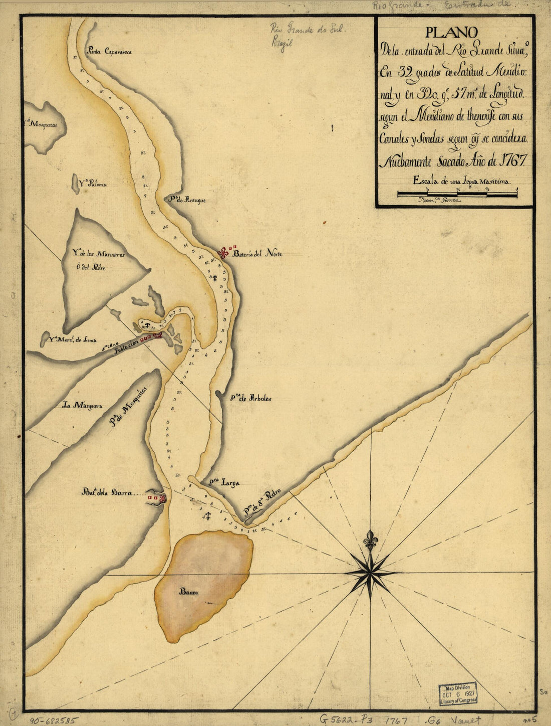 Plano De La Entrada Del Rio Grande Situao. En 32 Grados De Latitud Meridional Y En 320 Gs. 57 Ms. De Longitud Segun El Meridiano De Thenerife Con Sus Canales Y Sondas Segun Oy. Se Concidera 1767Plano De La Entrada Del Rio Grande Situao. En 32 Grados De Latitud Meridional Y En 320 Gs. 57 Ms. De Longitud Segun El Meridiano De Thenerife Con Sus Canales Y Sondas Segun Oy. Se Concidera 1767
- Regular price
-
$39.95 $88.95 - Regular price
-
$34.95 - Sale price
-
$39.95 $88.95
-
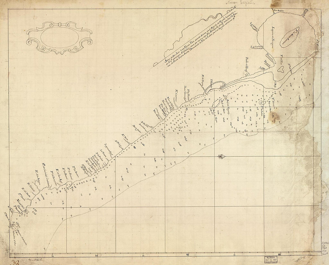 Map Showing Coast of Veracruz State, Mexico, Between Tampico and Antón Lizardo 1760Map Showing Coast of Veracruz State, Mexico, Between Tampico and Antón Lizardo 1760
- Regular price
-
$43.95 $126.95 - Regular price
-
$38.95 - Sale price
-
$43.95 $126.95


