467 products
-
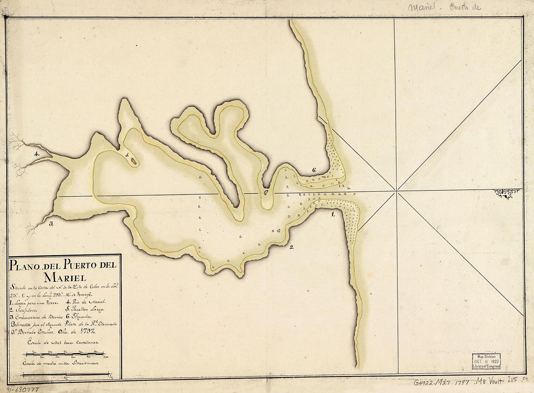 Plano Del Puerto Del Mariel Situado En La Costa Del N. De La Ysla De Cuba En La Latd. 23⁰5ʹ Y En La Longd. 293⁰16ʹ De Tenerife 1797Plano Del Puerto Del Mariel Situado En La Costa Del N. De La Ysla De Cuba En La Latd. 23⁰5ʹ Y En La Longd. 293⁰16ʹ De Tenerife 1797
- Regular price
-
$39.95 $88.95 - Regular price
-
$29.95 - Sale price
-
$39.95 $88.95
-
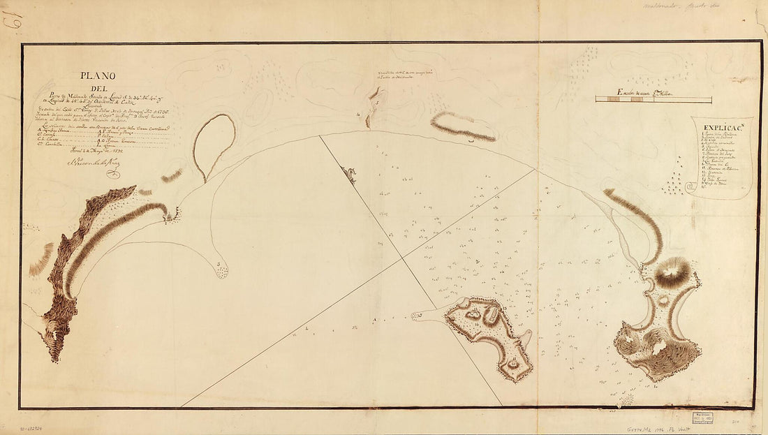 Plano Del Puerto De Maldonado Situado En Latitud S. De 34⁰56ʹ40ʺ Y En Longitud De 48⁰45ʹ30ʺ Occidental De Cádiz 1796Plano Del Puerto De Maldonado Situado En Latitud S. De 34⁰56ʹ40ʺ Y En Longitud De 48⁰45ʹ30ʺ Occidental De Cádiz 1796
- Regular price
-
$46.95 $189.95 - Regular price
-
$41.95 - Sale price
-
$46.95 $189.95
-
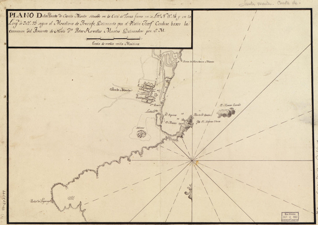 Plano Del Puerto De Santa Marta Situado En La Costa De Tierra Firme En La Littd. N. 11⁰16ʹ Y En La Longd. De 302⁰23ʹ Segun El Meridiano De Tenerife 1700Plano Del Puerto De Santa Marta Situado En La Costa De Tierra Firme En La Littd. N. 11⁰16ʹ Y En La Longd. De 302⁰23ʹ Segun El Meridiano De Tenerife 1700
- Regular price
-
$39.95 $88.95 - Regular price
-
$29.95 - Sale price
-
$39.95 $88.95
-
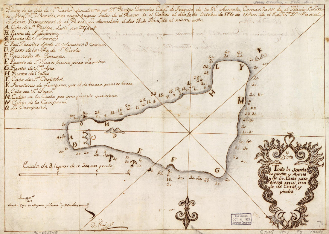 Plano De La Isla De Sn. Carlos Descubierta Por Dn. Phelipe Gonzales, Capn. De Fragata De La Rl. Armada, Comandante De El Navio. Sn. Lorenzo, Fragta. Sta. Rozalia, Con Cuyos Bugues Salio De El Puerto De El Callao De Dia 10 De Octubre De 1770 De Orden D...Plano De La Isla De Sn. Carlos Descubierta Por Dn. Phelipe Gonzales, Capn. De Fragata De La Rl. Armada, Comandante De El Navio. Sn. Lorenzo, Fragta. Sta. Rozalia, Con Cuyos Bugues Salio De El Puerto De El Callao De Dia 10 De Octubre De 1770 De Orden D...
- Regular price
-
$39.95 $88.95 - Regular price
-
$29.95 - Sale price
-
$39.95 $88.95
-
 Costa De Cuba Desde Cabo De San Antonio a La Bahía De Cardenas in 1780Costa De Cuba Desde Cabo De San Antonio a La Bahía De Cardenas in 1780
- Regular price
-
$46.95 $117.95 - Regular price
-
$41.95 - Sale price
-
$46.95 $117.95
-
 海疆洋界形勢全圖, Coastal Map of China in 1787海疆洋界形勢全圖, Coastal Map of China in 1787
- Regular price
-
$46.95 $342.95 - Regular price
-
$41.95 - Sale price
-
$46.95 $342.95
-
 Plano Del Río De Chagres En La Costa De Tierra Firme Situado En La Latd. N. De 9⁰3ʹ sic Y En Longd. De 295⁰29ʹ Segn. El Mro. De Tenerife 1780Plano Del Río De Chagres En La Costa De Tierra Firme Situado En La Latd. N. De 9⁰3ʹ sic Y En Longd. De 295⁰29ʹ Segn. El Mro. De Tenerife 1780
- Regular price
-
$46.95 $142.95 - Regular price
-
$41.95 - Sale price
-
$46.95 $142.95
-
 The War In North Carolina. Map of the Entrance to Beaufort Harbor, N.C. Showing the Position of Fort Macon, Etc 1861The War In North Carolina. Map of the Entrance to Beaufort Harbor, N.C. Showing the Position of Fort Macon, Etc 1861
- Regular price
-
$39.95 $83.95 - Regular price
-
$29.95 - Sale price
-
$39.95 $83.95
-
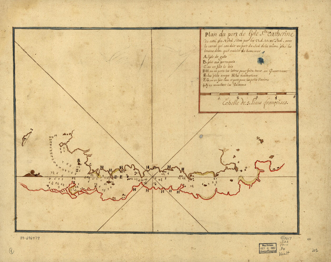 Plan De Port De L'Isle Ste. Catherine Du Cotté Du Nord Situé Par Les 27. D. 20. M. Sud Avec Le Canal Qui Conduit Au Port Du Sud De La Même Isle Les Brasses Deau Quil Resteirt De Basse Mer 1700Plan De Port De L'Isle Ste. Catherine Du Cotté Du Nord Situé Par Les 27. D. 20. M. Sud Avec Le Canal Qui Conduit Au Port Du Sud De La Même Isle Les Brasses Deau Quil Resteirt De Basse Mer 1700
- Regular price
-
$39.95 $83.95 - Regular price
-
$30.95 - Sale price
-
$39.95 $83.95
-
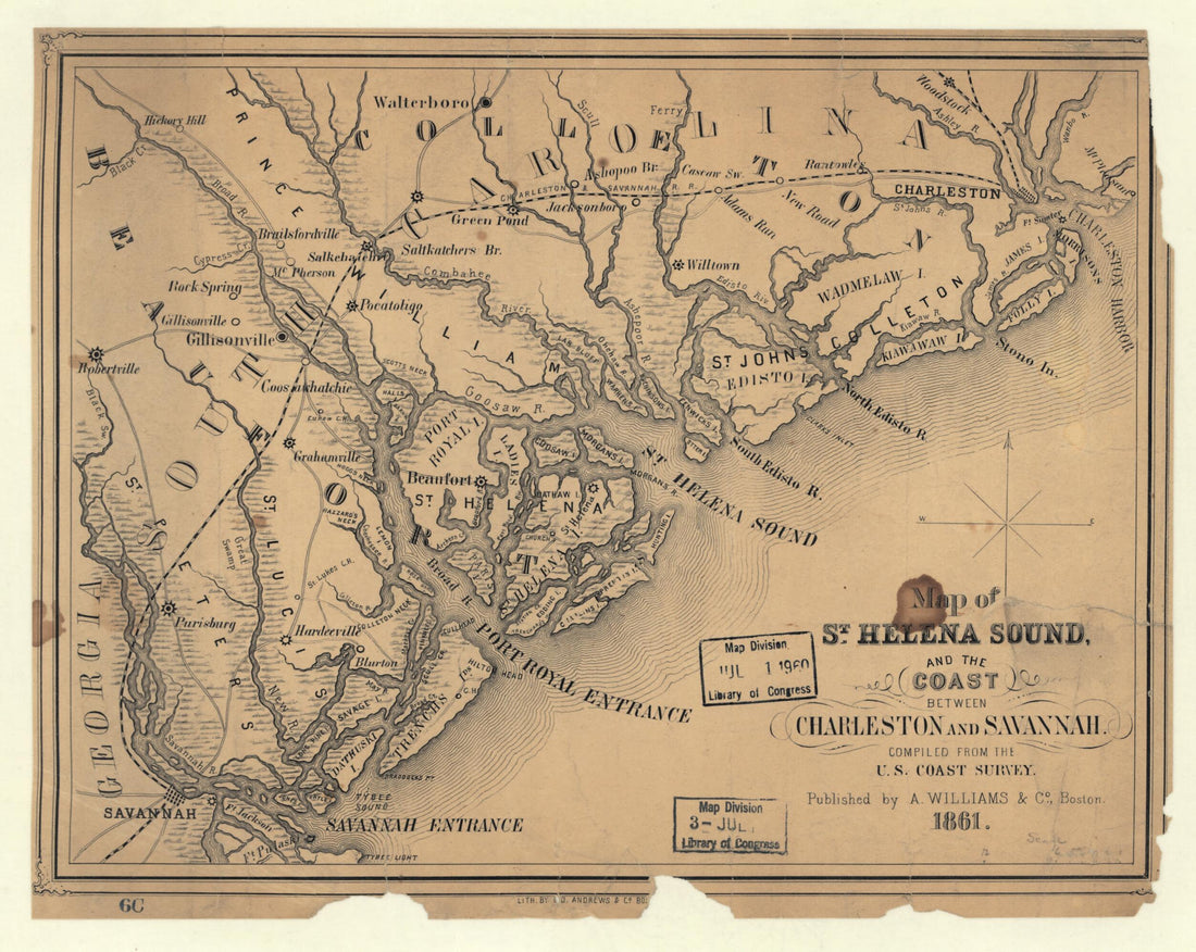 Map of St. Helena Sound, and the Coast Between Charleston and Savannah 1861Map of St. Helena Sound, and the Coast Between Charleston and Savannah 1861
- Regular price
-
$39.95 $83.95 - Regular price
-
$29.95 - Sale price
-
$39.95 $83.95
-
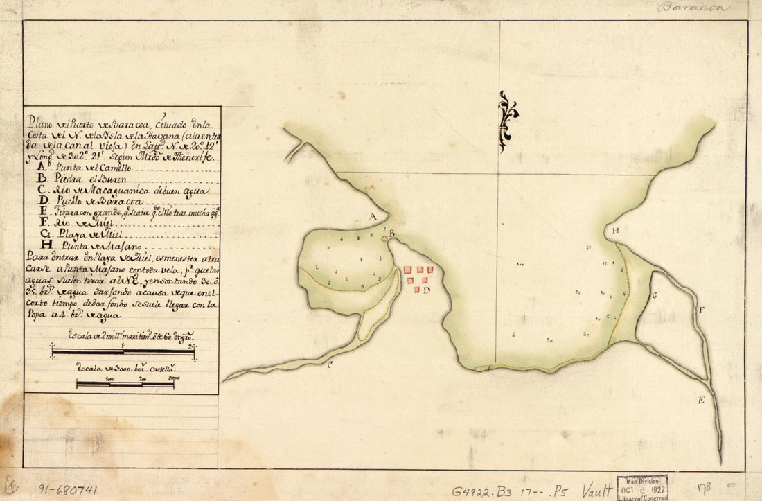 Plano Del Puerto De Baracoa Cituado En La Costa Del N. De La Ysla De La Havana (a La Entrada De La Canal Vieja) En Lattd. N. De 20⁰42ʹ Y Longd. De 302⁰21ʹ Segun Mrdo. De Thenerife 1700Plano Del Puerto De Baracoa Cituado En La Costa Del N. De La Ysla De La Havana (a La Entrada De La Canal Vieja) En Lattd. N. De 20⁰42ʹ Y Longd. De 302⁰21ʹ Segun Mrdo. De Thenerife 1700
- Regular price
-
$39.95 $99.95 - Regular price
-
$29.95 - Sale price
-
$39.95 $99.95
-
 Mount Desert Island and Neighboring Coast of Maine 1776Mount Desert Island and Neighboring Coast of Maine 1776
- Regular price
-
$46.95 $132.95 - Regular price
-
$41.95 - Sale price
-
$46.95 $132.95


