467 products
-
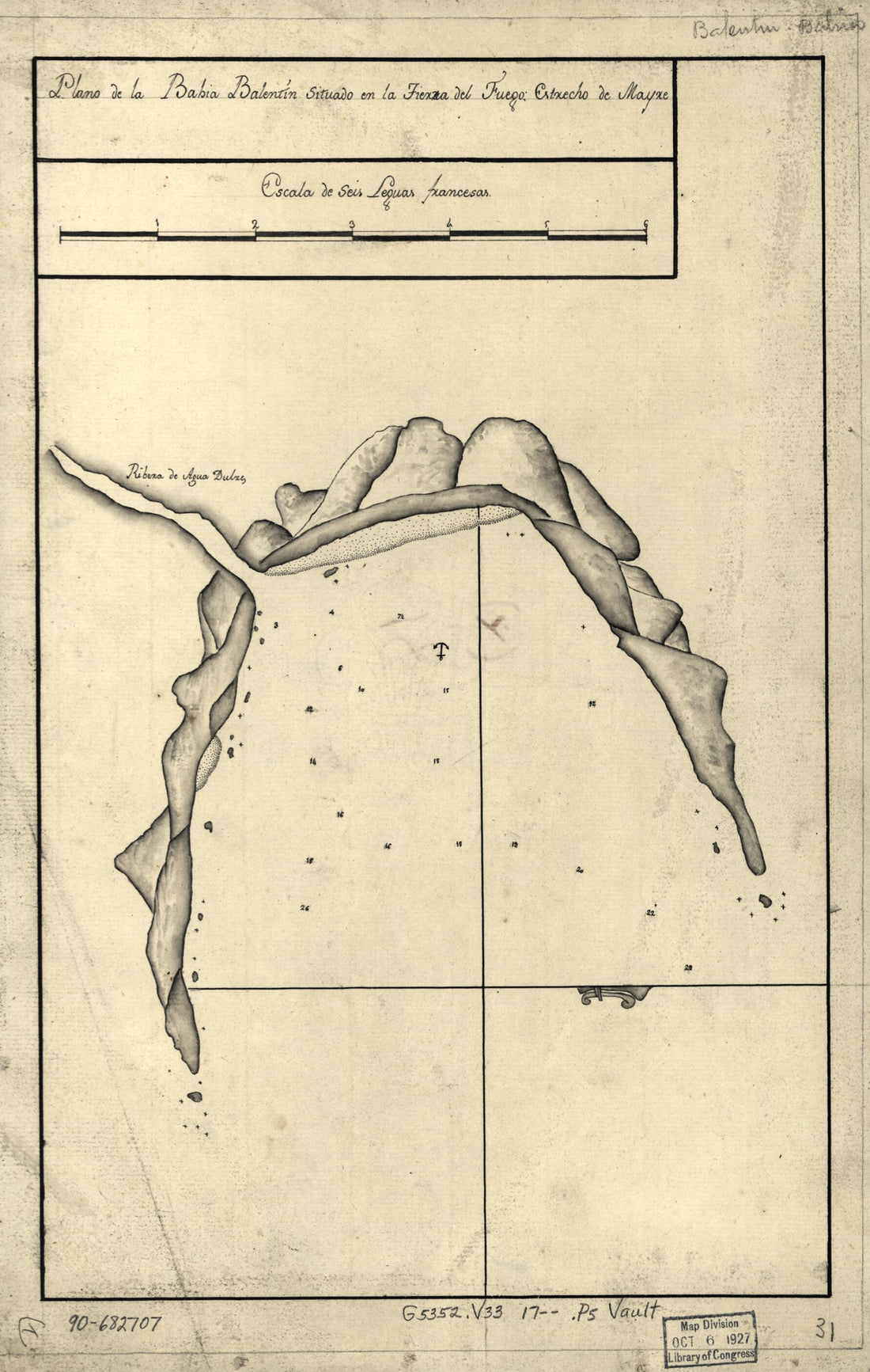 Plano De La Bahía Balentín Situado En La Tierra Del Fuego, Estrecho De Mayre in 1700Plano De La Bahía Balentín Situado En La Tierra Del Fuego, Estrecho De Mayre in 1700
- Regular price
-
$39.95 $99.95 - Regular price
-
$29.95 - Sale price
-
$39.95 $99.95
-
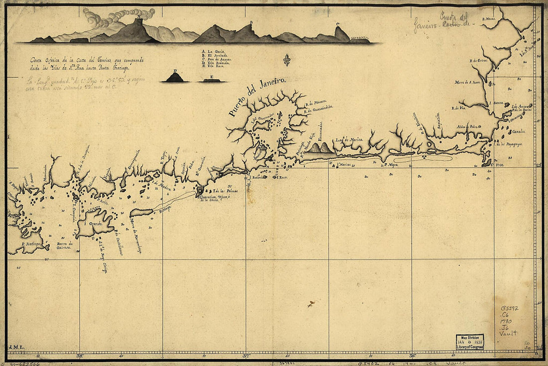 Carta Esferica De La Costa Del Janeiro, Que Comprende Desde Las Yslas De Sta. Ana Hasta Punta Joatinga 1780Carta Esferica De La Costa Del Janeiro, Que Comprende Desde Las Yslas De Sta. Ana Hasta Punta Joatinga 1780
- Regular price
-
$39.95 $99.95 - Regular price
-
$29.95 - Sale price
-
$39.95 $99.95
-
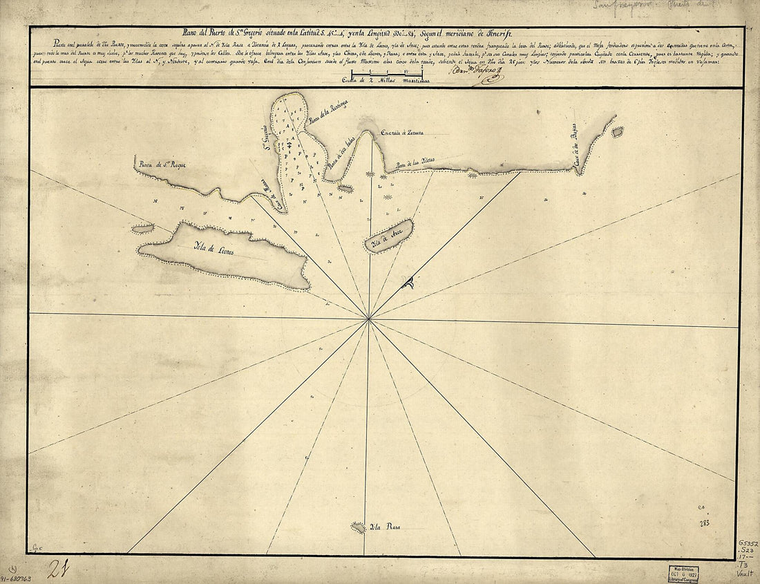 Plano Del Puerto De Sn. Gregorio Situado En La Latitud S. 45⁰4ʹ Y En La Longitud 310⁰54ʹ Segun El Meridiano De Tenerife 1700Plano Del Puerto De Sn. Gregorio Situado En La Latitud S. 45⁰4ʹ Y En La Longitud 310⁰54ʹ Segun El Meridiano De Tenerife 1700
- Regular price
-
$43.95 $112.95 - Regular price
-
$32.95 - Sale price
-
$43.95 $112.95
-
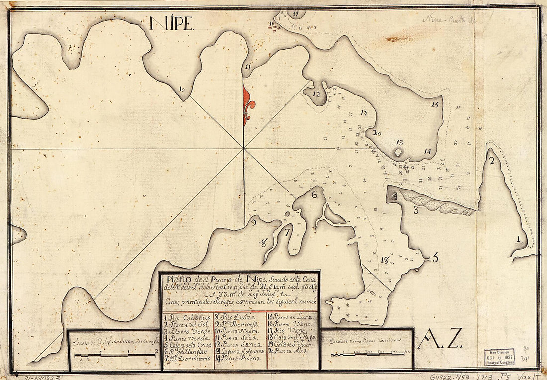 Plano De El Puerto De Nipe Situado En La Costa Del N. De La Ya. De La Hava. En Latd. De 21 Gs. 10 Ms. Septl. Y 301 Gs. 33 Ms. De Longd., Tenerfe 1713Plano De El Puerto De Nipe Situado En La Costa Del N. De La Ya. De La Hava. En Latd. De 21 Gs. 10 Ms. Septl. Y 301 Gs. 33 Ms. De Longd., Tenerfe 1713
- Regular price
-
$39.95 $99.95 - Regular price
-
$29.95 - Sale price
-
$39.95 $99.95
-
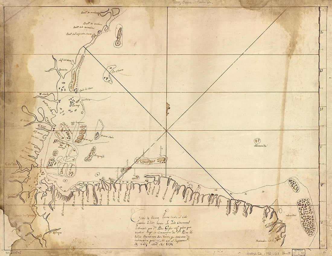 Costa De Tierra Firme Desde El Cabo Gracias a Dios Hasta La Ysla Cosumuel 1795Costa De Tierra Firme Desde El Cabo Gracias a Dios Hasta La Ysla Cosumuel 1795
- Regular price
-
$43.95 $116.95 - Regular price
-
$32.95 - Sale price
-
$43.95 $116.95
-
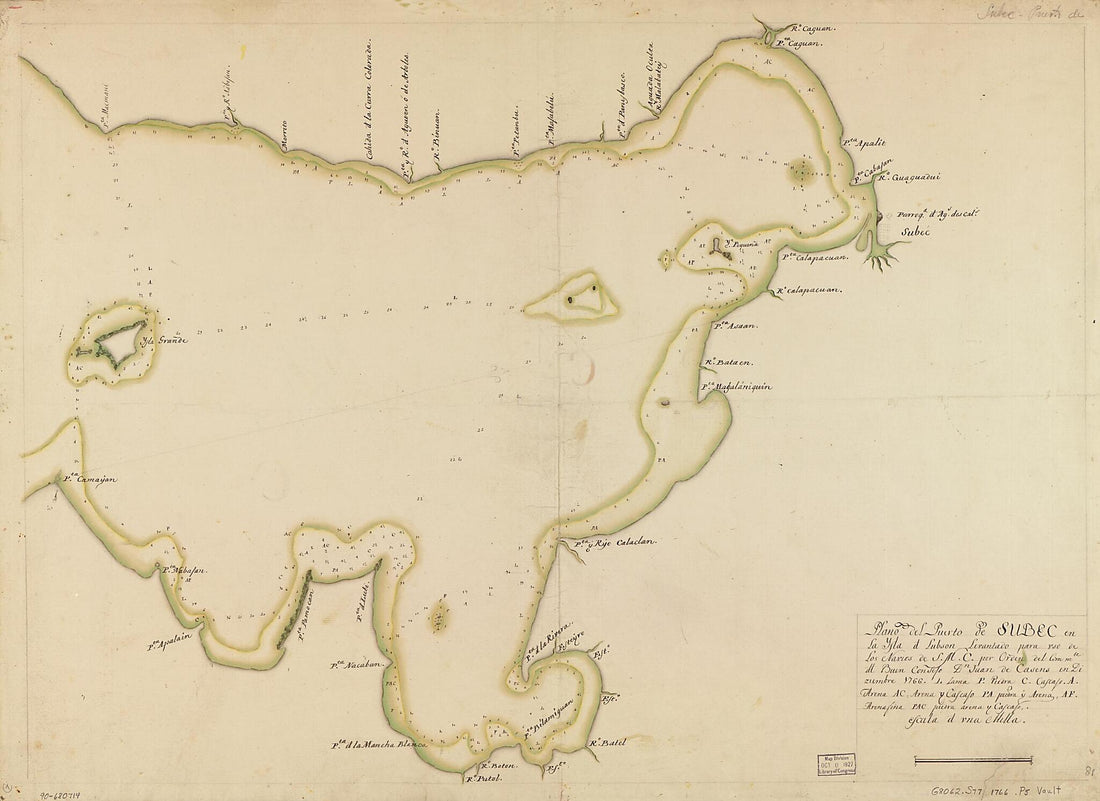 Plano Del Puerto De Subec En La Ysla D. Lubson 1766Plano Del Puerto De Subec En La Ysla D. Lubson 1766
- Regular price
-
$43.95 $143.95 - Regular price
-
$32.95 - Sale price
-
$43.95 $143.95
-
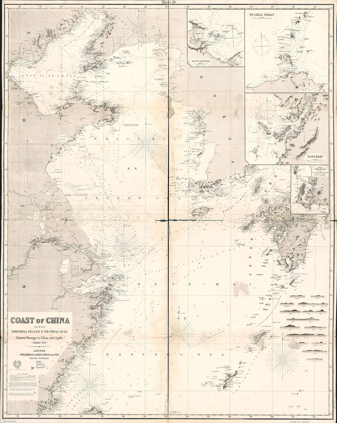 Chi-Li Gulf : Eastern Passages to China and Japan : Chart No. 8 1867Chi-Li Gulf : Eastern Passages to China and Japan : Chart No. 8 1867
- Regular price
-
$39.95 $205.95 - Regular price
-
$34.95 - Sale price
-
$39.95 $205.95
-
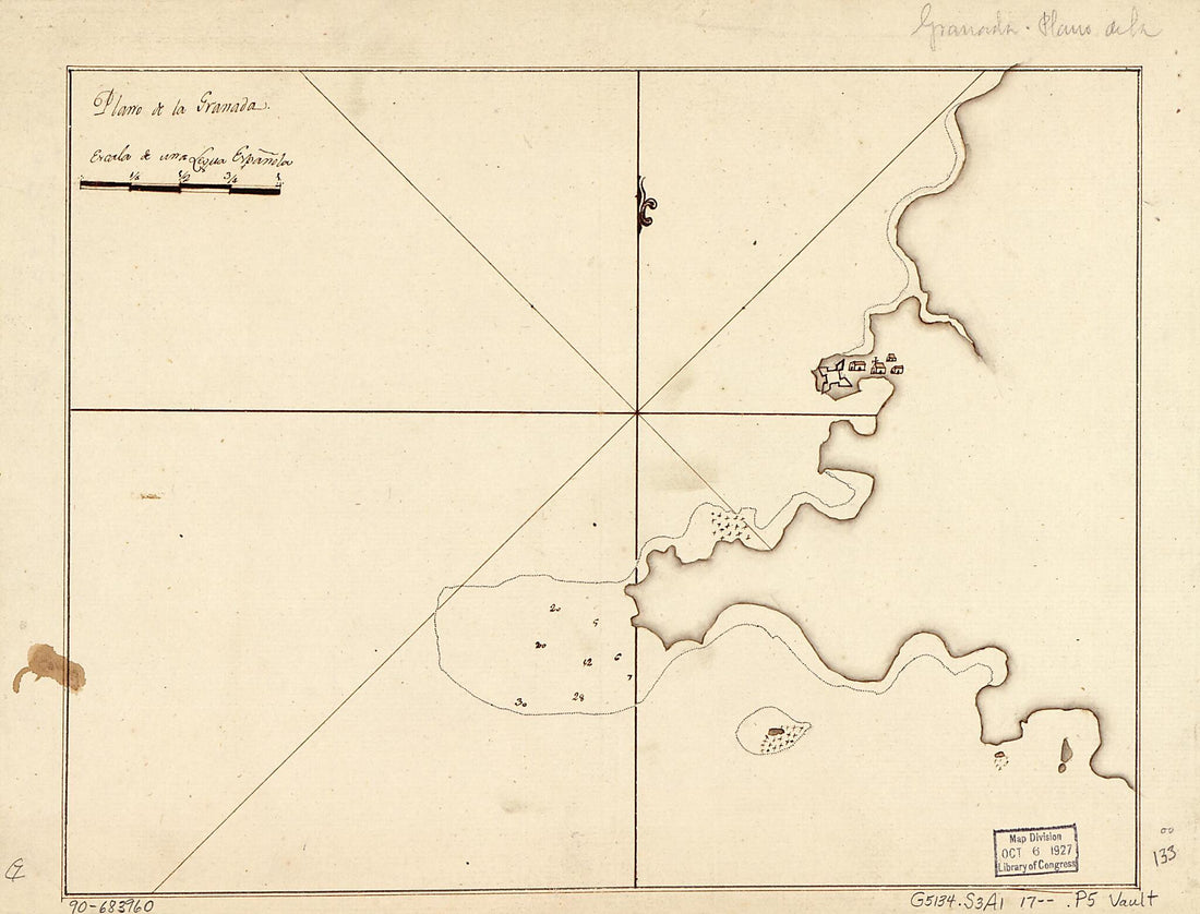 Plano De La Granada 1700Plano De La Granada 1700
- Regular price
-
$39.95 $88.95 - Regular price
-
$29.95 - Sale price
-
$39.95 $88.95
-
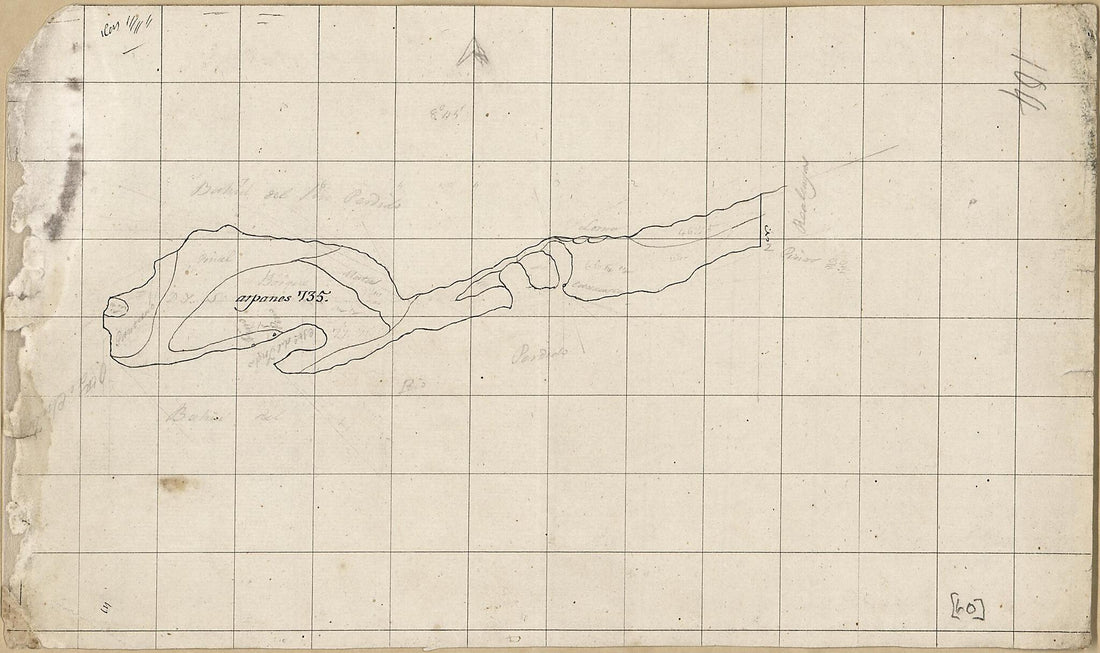 Unfinished Map of a Portion of Land Along Perdido Bay, Spanish West Florida 1815Unfinished Map of a Portion of Land Along Perdido Bay, Spanish West Florida 1815
- Regular price
-
$39.95 $99.95 - Regular price
-
$29.95 - Sale price
-
$39.95 $99.95
-
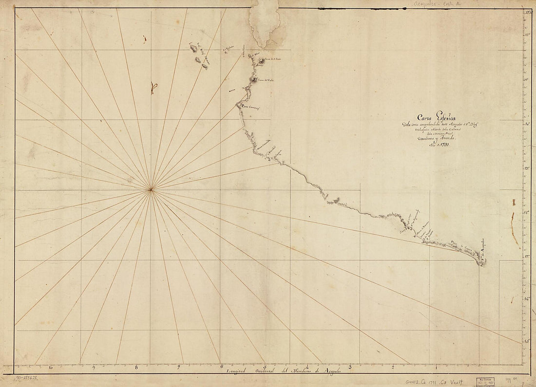 Carta Esferica De La Costa Comprehendida Desde Acapulco a Sn. Blas Trabajada Abordo De Las Corberas De La Marina Real Descubierta Y Atrevida, Año De 1791Carta Esferica De La Costa Comprehendida Desde Acapulco a Sn. Blas Trabajada Abordo De Las Corberas De La Marina Real Descubierta Y Atrevida, Año De 1791
- Regular price
-
$43.95 $147.95 - Regular price
-
$32.95 - Sale price
-
$43.95 $147.95
-
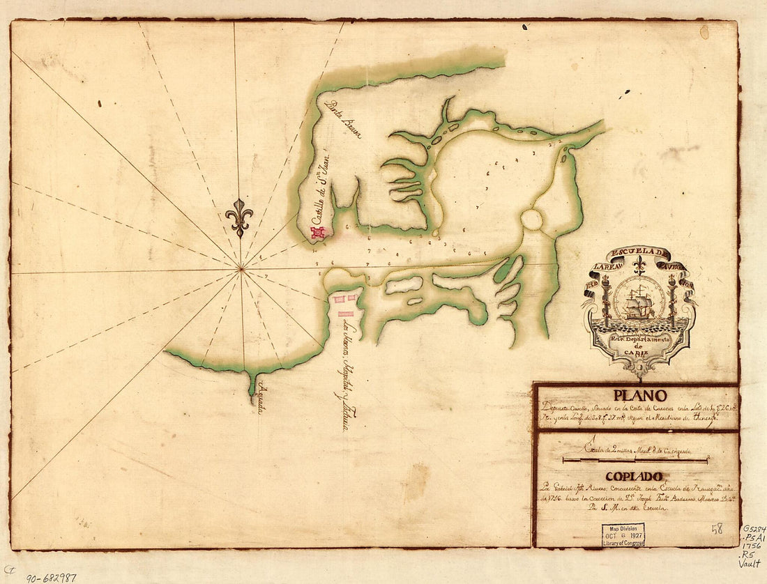 Plano De Puerto Cavello Situado En La Costa De Caracas En La Latd. De 10 Gs. 26 Ms. N. Y En La Longd. De 308 Gs. 37 Ms. Segun El Meridiano De Thenerife 1756Plano De Puerto Cavello Situado En La Costa De Caracas En La Latd. De 10 Gs. 26 Ms. N. Y En La Longd. De 308 Gs. 37 Ms. Segun El Meridiano De Thenerife 1756
- Regular price
-
$39.95 $88.95 - Regular price
-
$29.95 - Sale price
-
$39.95 $88.95
-
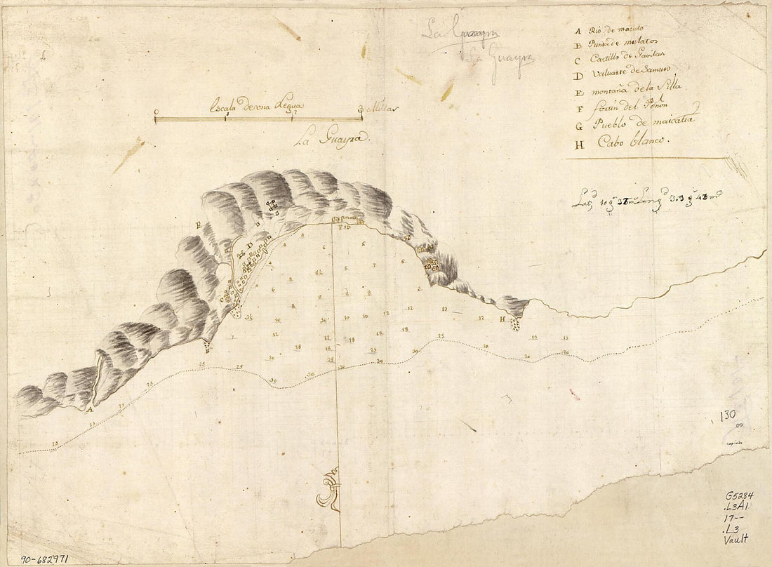 La Guayra 1700La Guayra 1700
- Regular price
-
$39.95 $88.95 - Regular price
-
$29.95 - Sale price
-
$39.95 $88.95


