467 products
-
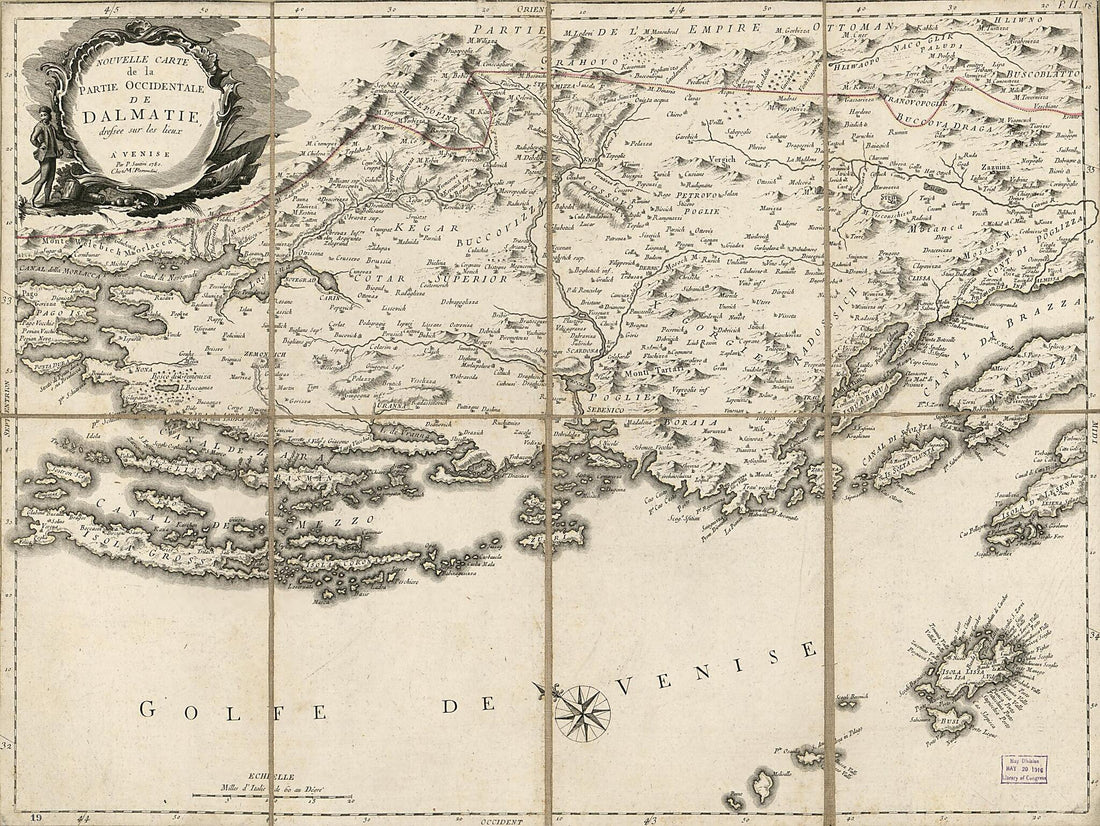 Nouvelle Carte De La Partie Occidentale De Dalmatie : Dressée Sur Les Lieux 1780Nouvelle Carte De La Partie Occidentale De Dalmatie : Dressée Sur Les Lieux 1780
- Regular price
-
$43.95 $106.95 - Regular price
-
$32.95 - Sale price
-
$43.95 $106.95
-
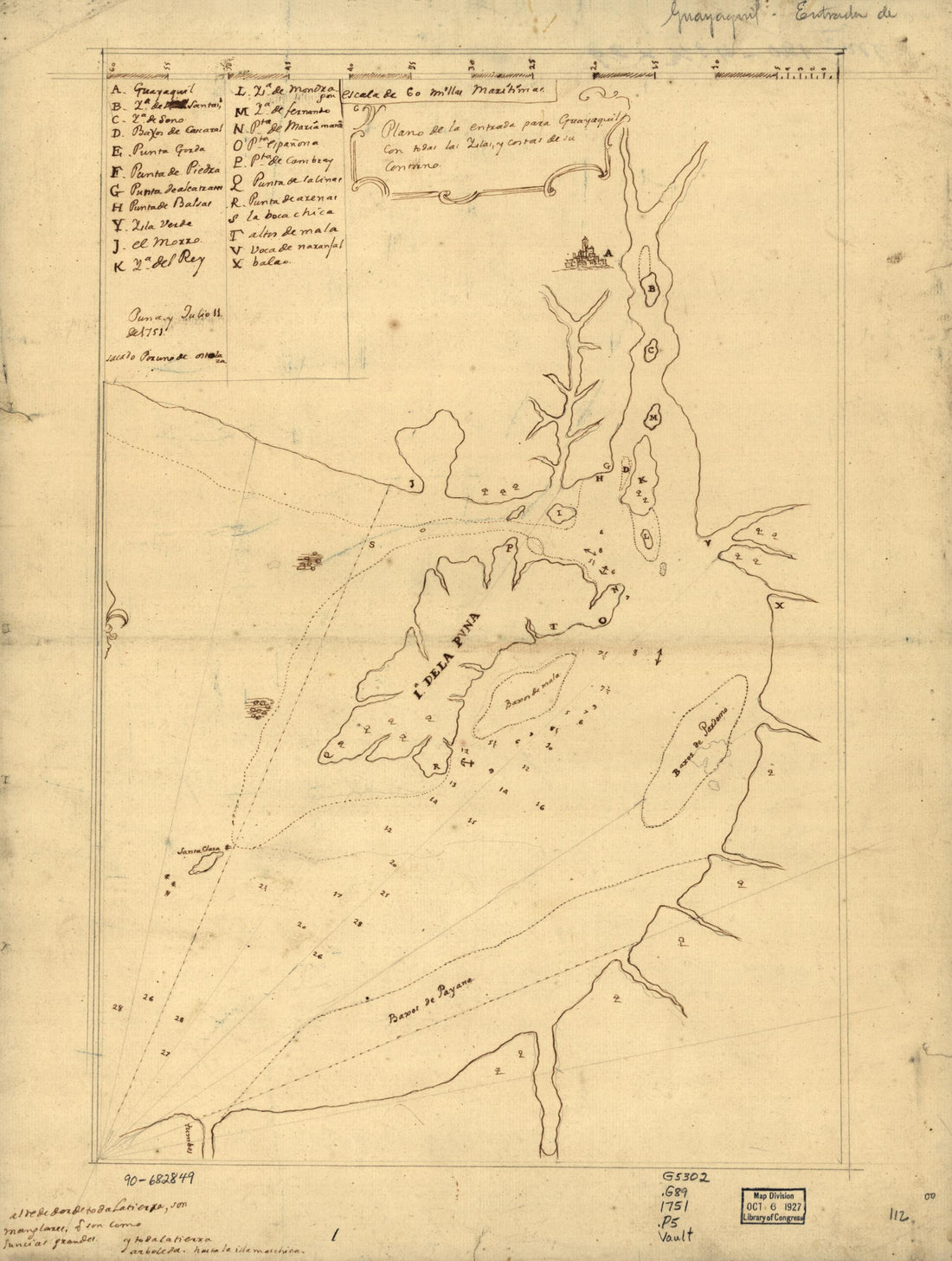 Plano De La Entrada Para Guayaquil Con Todas Las Yslas Y Costas De Su Contorno 1751Plano De La Entrada Para Guayaquil Con Todas Las Yslas Y Costas De Su Contorno 1751
- Regular price
-
$43.95 $88.95 - Regular price
-
$30.95 - Sale price
-
$43.95 $88.95
-
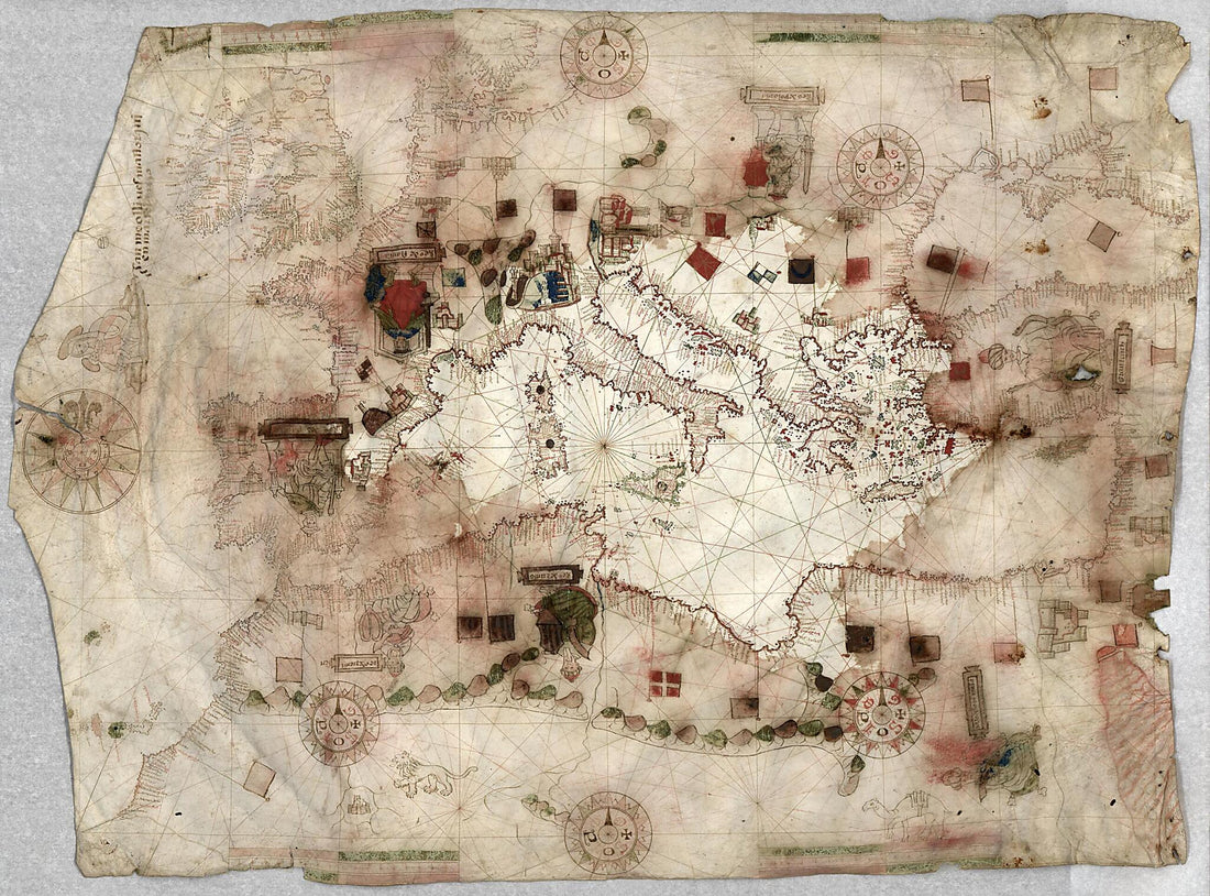 Portolan Chart of the Mediterranean Sea, the Black Sea, the Coasts of Western Europe and North America, With Madeira and the Canary Islands and Part of the Baltic Sea 1550Portolan Chart of the Mediterranean Sea, the Black Sea, the Coasts of Western Europe and North America, With Madeira and the Canary Islands and Part of the Baltic Sea 1550
- Regular price
-
$43.95 $170.95 - Regular price
-
$32.95 - Sale price
-
$43.95 $170.95
-
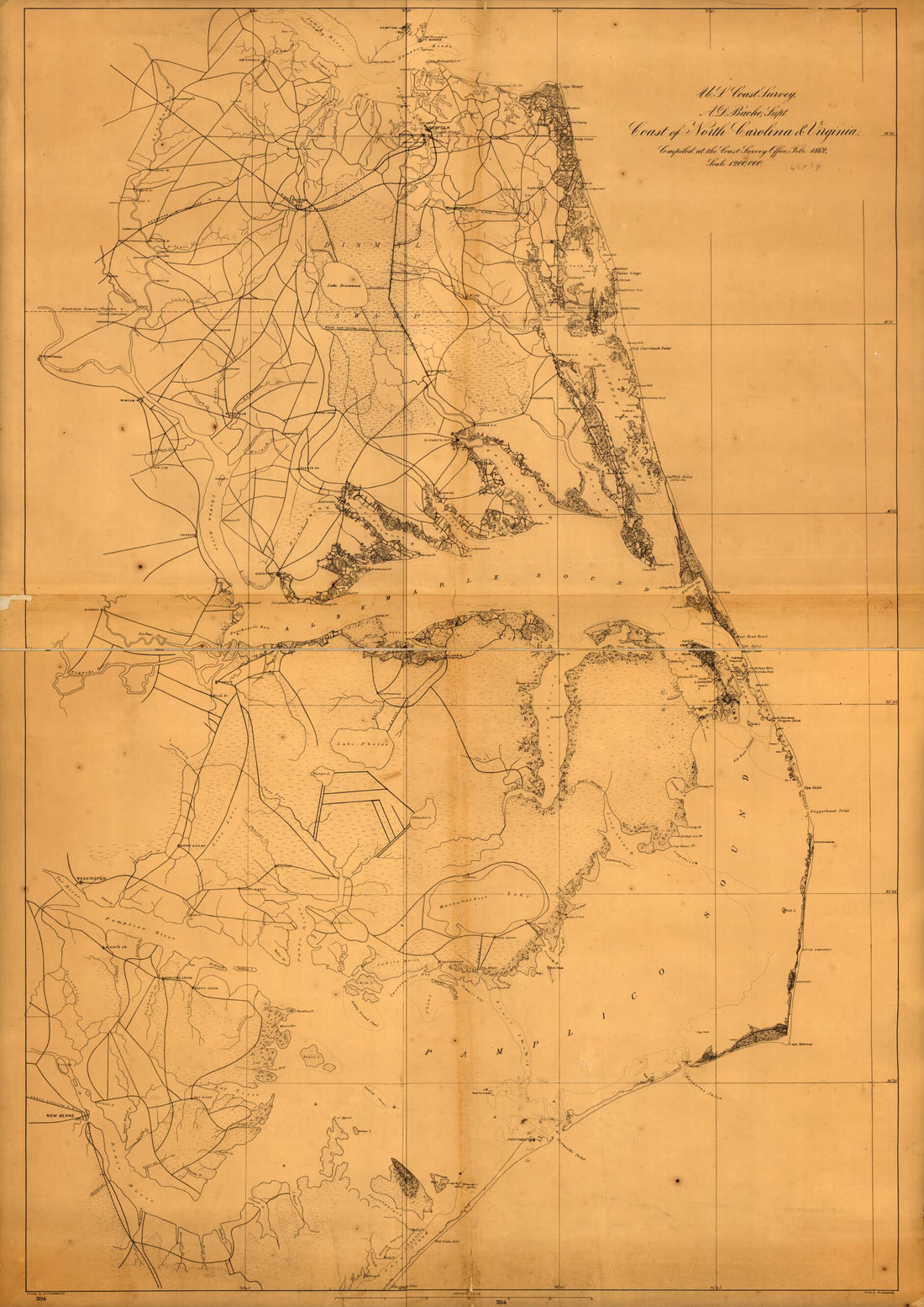 Coast of North Carolina & Virginia in 1862Coast of North Carolina & Virginia in 1862
- Regular price
-
$46.95 $165.95 - Regular price
-
$41.95 - Sale price
-
$46.95 $165.95
-
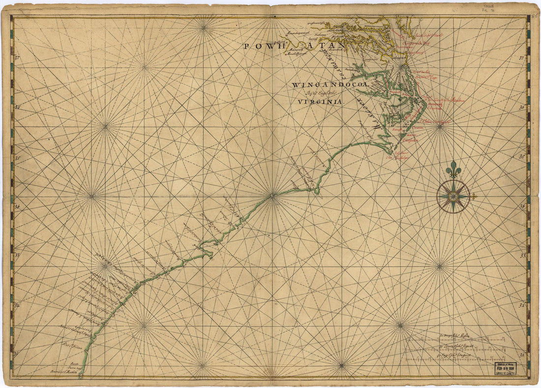 Map of Atlantic Coast of North America from the Chesapeake Bay to Florida 1639Map of Atlantic Coast of North America from the Chesapeake Bay to Florida 1639
- Regular price
-
$43.95 $88.95 - Regular price
-
$32.95 - Sale price
-
$43.95 $88.95
-
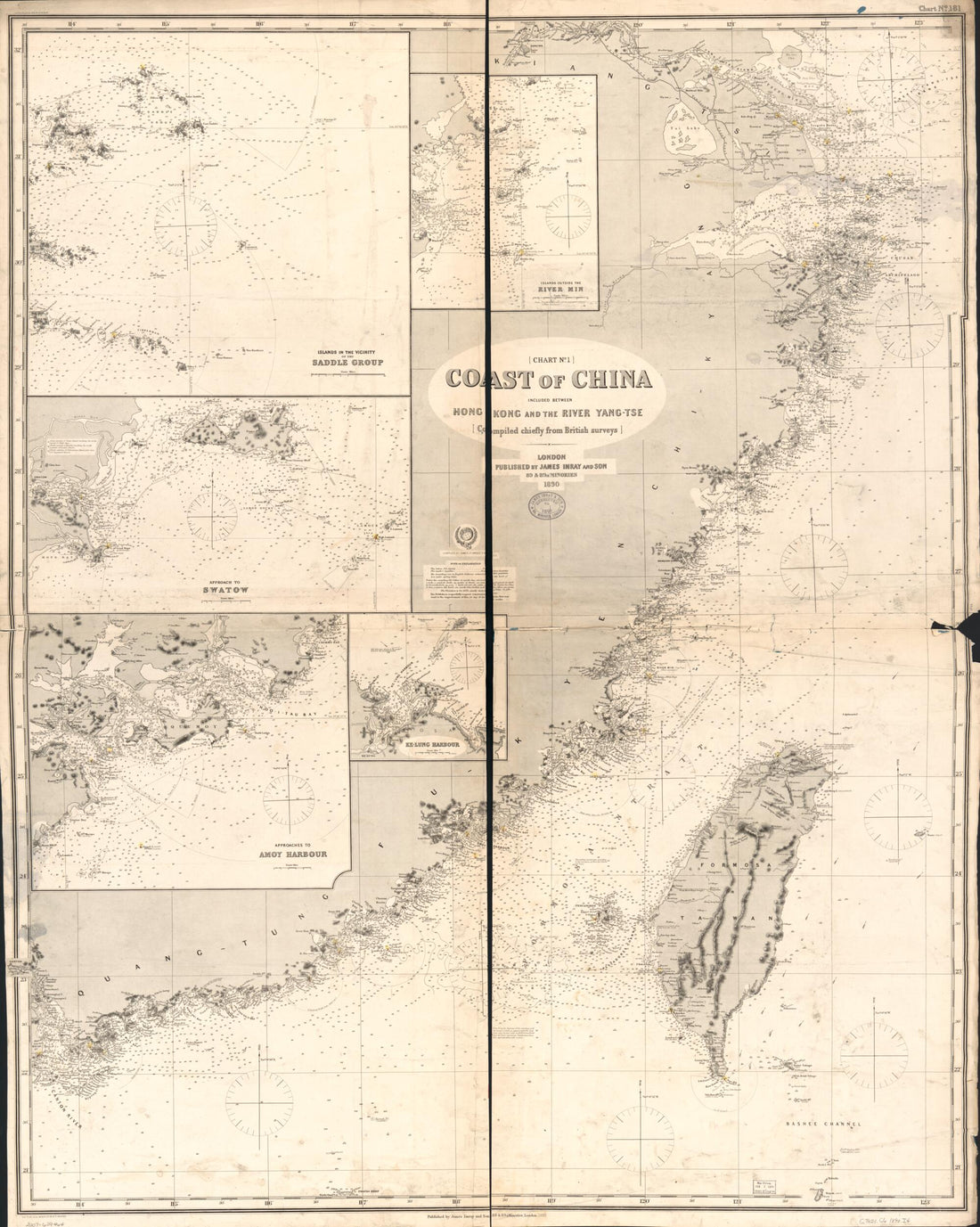 Tse in 1889Tse in 1889
- Regular price
-
$39.95 $203.95 - Regular price
-
$34.95 - Sale price
-
$39.95 $203.95
-
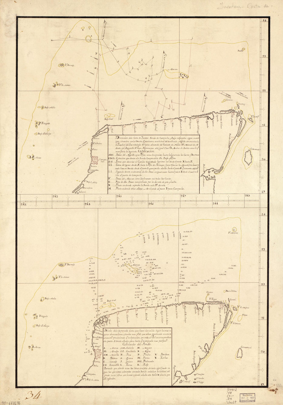 Map Showing Coast of Northern Yucatán Peninsula 1700Map Showing Coast of Northern Yucatán Peninsula 1700
- Regular price
-
$46.95 $99.95 - Regular price
-
$41.95 - Sale price
-
$46.95 $99.95
-
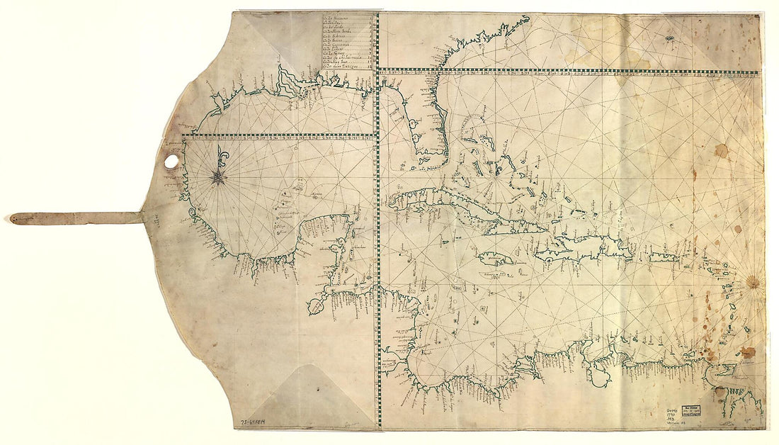 Map Showing Caribbean Area Including West Indies and Gulf of Mexico 1770Map Showing Caribbean Area Including West Indies and Gulf of Mexico 1770
- Regular price
-
$46.95 $211.95 - Regular price
-
$41.95 - Sale price
-
$46.95 $211.95
-
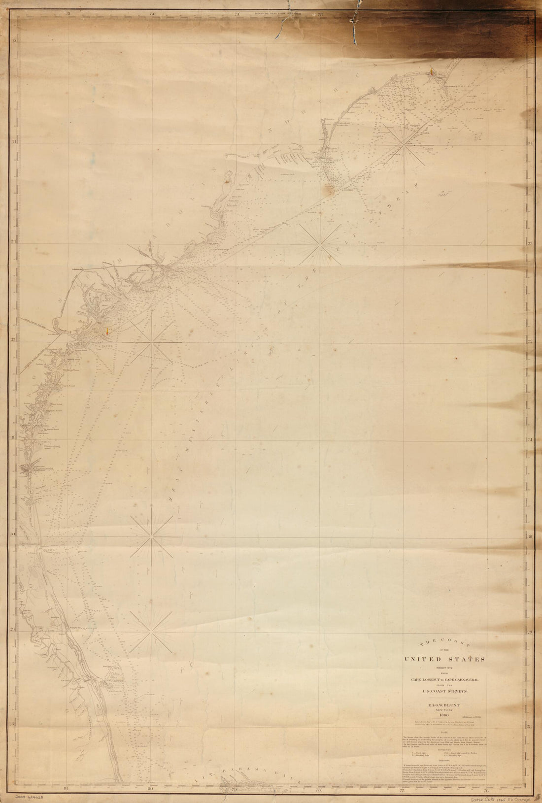 The Coast of the United States : Sheet No. 2 From Cape Lookout to Cape Carnaveral i.e. Canaveral From the U.S. Coast Surveys in 1865The Coast of the United States : Sheet No. 2 From Cape Lookout to Cape Carnaveral i.e. Canaveral From the U.S. Coast Surveys in 1865
- Regular price
-
$46.95 $143.95 - Regular price
-
$41.95 - Sale price
-
$46.95 $143.95
-
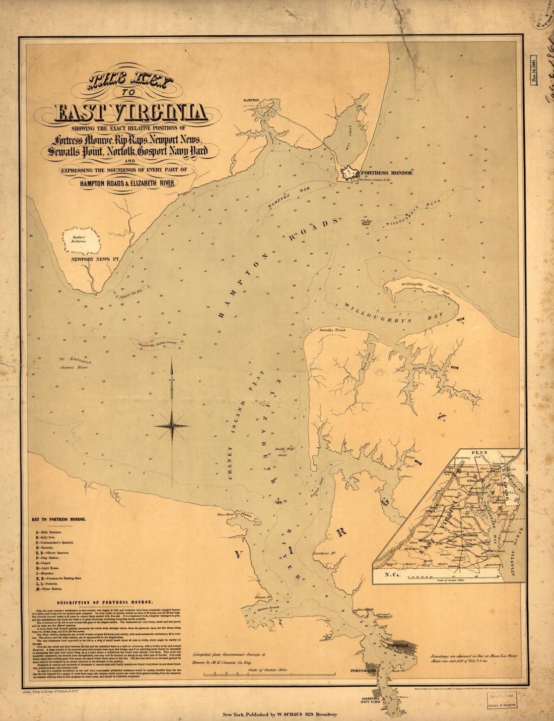 The Key to East Virginia Showing the Exact Relative Positions of Fortress Monroe, Rip Raps, Newport News, Sewalls sic Point, Norfolk, Gosport Navy Yard and Expressing the Soundings of Every Part of Hampton Roads & Elizabeth River 1861The Key to East Virginia Showing the Exact Relative Positions of Fortress Monroe, Rip Raps, Newport News, Sewalls sic Point, Norfolk, Gosport Navy Yard and Expressing the Soundings of Every Part of Hampton Roads & Elizabeth River 1861
- Regular price
-
$43.95 $88.95 - Regular price
-
$32.95 - Sale price
-
$43.95 $88.95
-
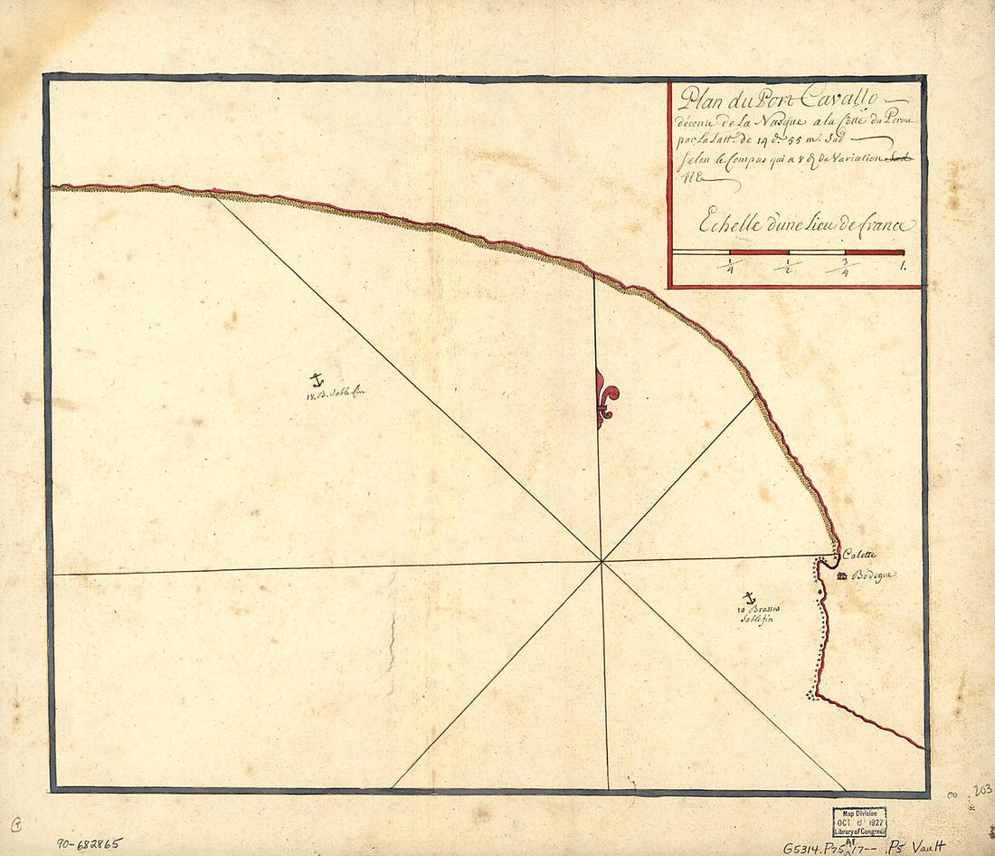 Plan Du Port Cavallo, Décente De La Nasque à La Côtte Du Perou Par La Latt. De 14 D. 55 M. Sud, Selon Le Compas Qui à 8 D. De Naviation NE 1700Plan Du Port Cavallo, Décente De La Nasque à La Côtte Du Perou Par La Latt. De 14 D. 55 M. Sud, Selon Le Compas Qui à 8 D. De Naviation NE 1700
- Regular price
-
$39.95 $83.95 - Regular price
-
$31.95 - Sale price
-
$39.95 $83.95
-
 Plano De El Puerto De Jagua Situado En La Costa De El Sur De La Ya. De La Havana En La Latd. De 21 Gs. 51 Ms. N. Y En 294 Gs. 54 Ms. De Longd. Segun Tenerife 1700Plano De El Puerto De Jagua Situado En La Costa De El Sur De La Ya. De La Havana En La Latd. De 21 Gs. 51 Ms. N. Y En 294 Gs. 54 Ms. De Longd. Segun Tenerife 1700
- Regular price
-
$39.95 $88.95 - Regular price
-
$34.95 - Sale price
-
$39.95 $88.95


