741 products
-
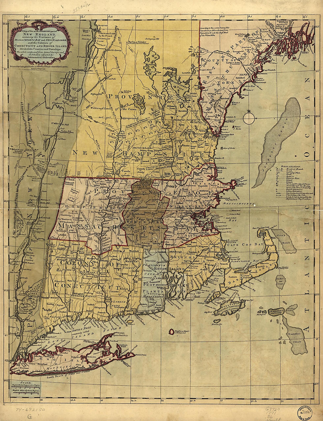 A Map of the Most Inhabited Part of New England, Containing the Provinces of Massachusets Bay and New Hampshire, With the Colonies of Conecticut and Rhode Island, Divided Into Counties and Townships: the Whole Composed from Actual Surveys and Its Situ...A Map of the Most Inhabited Part of New England, Containing the Provinces of Massachusets Bay and New Hampshire, With the Colonies of Conecticut and Rhode Island, Divided Into Counties and Townships: the Whole Composed from Actual Surveys and Its Situ...
- Regular price
-
$51.95 $131.95 - Regular price
-
$38.95 - Sale price
-
$51.95 $131.95
-
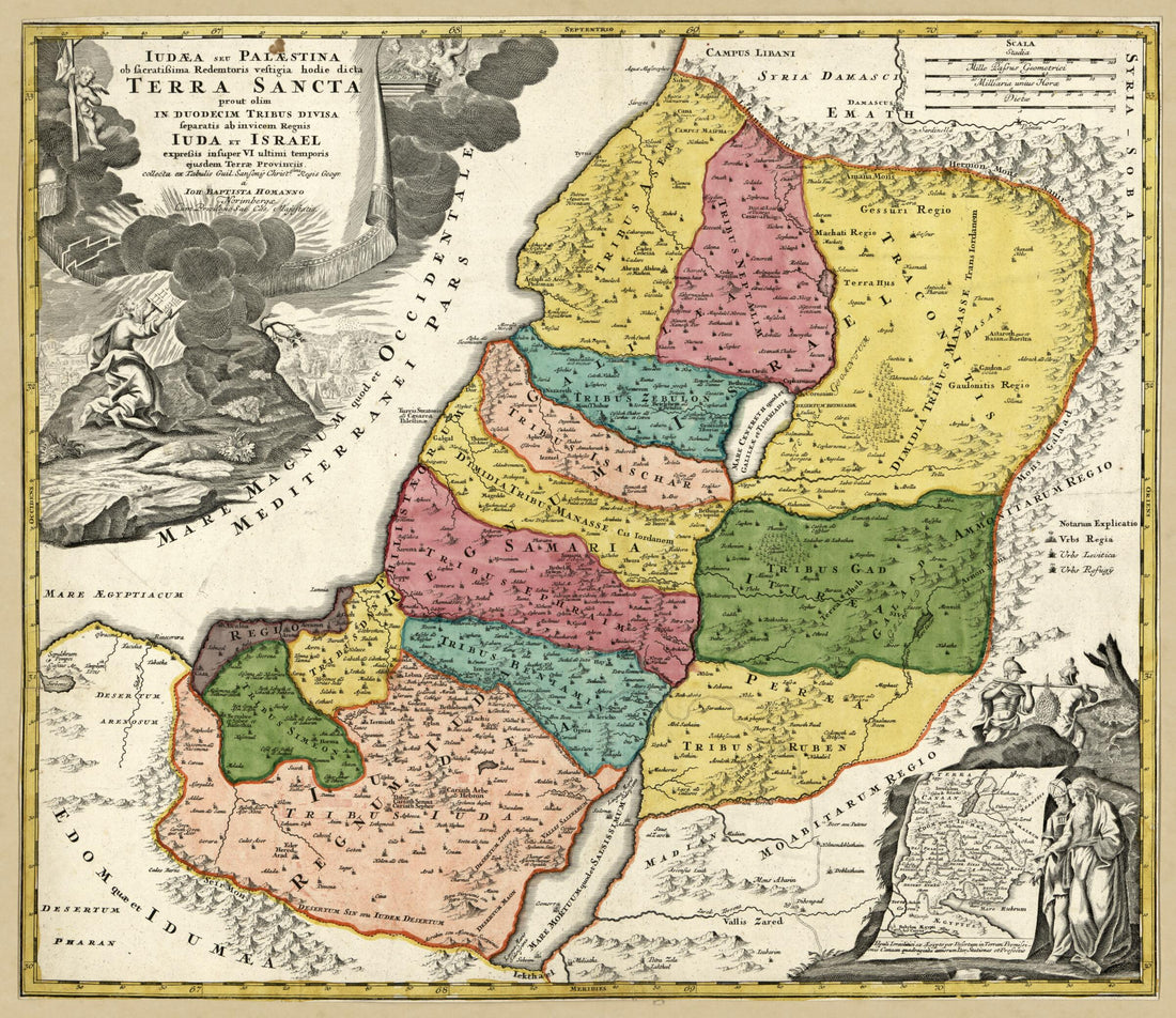 Iudæa Seu Palæstina Ob Sacratissima Redemtoris Vestigia Hodie Dicta Terra Sancta Prout Olim In Duodecim Tribus Divisa : Separatis Ab Invicem Regnis Iuda Et Israel Expressis Insuper VI Ultimi Temporis Ejusdem Terræ Provinciis Collecta Ex Tabulis Gui...Iudæa Seu Palæstina Ob Sacratissima Redemtoris Vestigia Hodie Dicta Terra Sancta Prout Olim In Duodecim Tribus Divisa : Separatis Ab Invicem Regnis Iuda Et Israel Expressis Insuper VI Ultimi Temporis Ejusdem Terræ Provinciis Collecta Ex Tabulis Gui...
- Regular price
-
$54.95 $83.95 - Regular price
-
$38.95 - Sale price
-
$54.95 $83.95
-
 A Draught of Ten Lots of Ground In the Northern Liberties of the City of Philadelphia, Surveyed the 28th August 1787, Beginning at a Bridge On the Old York Road, N. 2⁰. W. 36 3/4 Perches Up Said Road to a Corner of Beech Street, Thence Up Said Stree...A Draught of Ten Lots of Ground In the Northern Liberties of the City of Philadelphia, Surveyed the 28th August 1787, Beginning at a Bridge On the Old York Road, N. 2⁰. W. 36 3/4 Perches Up Said Road to a Corner of Beech Street, Thence Up Said Stree...
- Regular price
-
$54.95 $84.95 - Regular price
-
$38.95 - Sale price
-
$54.95 $84.95
-
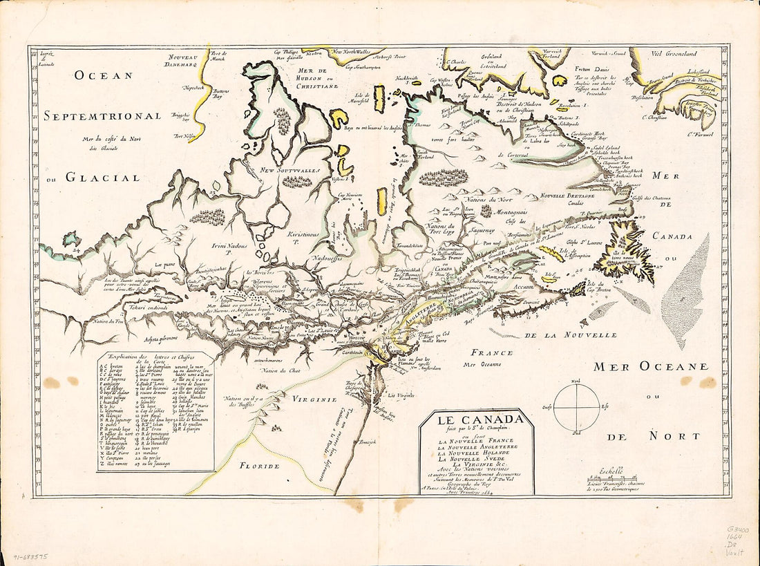 Le Canada Faict Par Le Sr. De Champlain, Ou, Sont, La Nouvelle France, La Nouvelle Angleterre, La Nouvelle Holande, La Nouvelle Svede, La Virginie &c. Avec Les Nations Voisines Et Autres Terres Nouvellement Decouvertes Suivant Les Memoires De P. Du Va...Le Canada Faict Par Le Sr. De Champlain, Ou, Sont, La Nouvelle France, La Nouvelle Angleterre, La Nouvelle Holande, La Nouvelle Svede, La Virginie &c. Avec Les Nations Voisines Et Autres Terres Nouvellement Decouvertes Suivant Les Memoires De P. Du Va...
- Regular price
-
$51.95 $93.95 - Regular price
-
$38.95 - Sale price
-
$51.95 $93.95
-
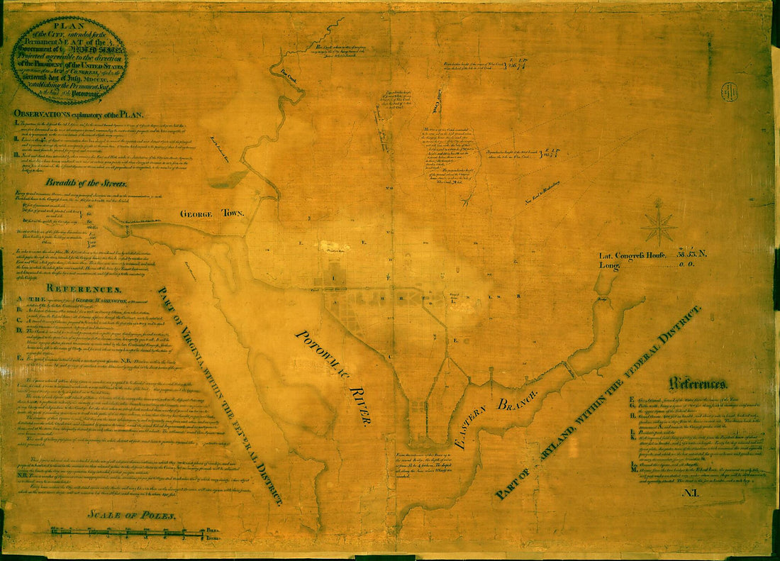 Plan of the City Intended for the Permanent Seat of the Government of The United States : Projected Agreeable to the Direction of the President of the United States, In Pursuance of an Act of Congress, Passed On the Sixteenth Day of July, MDCCXC, esta...Plan of the City Intended for the Permanent Seat of the Government of The United States : Projected Agreeable to the Direction of the President of the United States, In Pursuance of an Act of Congress, Passed On the Sixteenth Day of July, MDCCXC, esta...
- Regular price
-
$51.95 $132.95 - Regular price
-
$38.95 - Sale price
-
$51.95 $132.95
-
 Atlas Portatif, Ou, Le Nouveau Theatre De La Guerre En Europe : Contenant Les Cartes Geographiques, Avec Les Plans Des Villes & Forteresses Les Plus Exposées Aux Revolutions Presentes : Accompagné D'une Nouvellle Methode Pour Apprendre Facilement La...Atlas Portatif, Ou, Le Nouveau Theatre De La Guerre En Europe : Contenant Les Cartes Geographiques, Avec Les Plans Des Villes & Forteresses Les Plus Exposées Aux Revolutions Presentes : Accompagné D'une Nouvellle Methode Pour Apprendre Facilement La...
- Regular price
-
$49.95 $99.95 - Regular price
-
$34.95 - Sale price
-
$49.95 $99.95
-
 A Map of Pennsylvania Exhibiting Not Only the Improved Parts of That Province, but Also Its Extensive Frontiers: Laid Down from Actual Surveys and Chiefly from the Late Map of W. Scull Published In 1770; and Humbly Inscribed to the Honourable Thomas P...A Map of Pennsylvania Exhibiting Not Only the Improved Parts of That Province, but Also Its Extensive Frontiers: Laid Down from Actual Surveys and Chiefly from the Late Map of W. Scull Published In 1770; and Humbly Inscribed to the Honourable Thomas P...
- Regular price
-
$58.95 $243.95 - Regular price
-
$41.95 - Sale price
-
$58.95 $243.95
-
 Carte Hydrographique De La Baye De La Havana. Avec Le Plan De La Ville Et De Ses Forts Pour Joindre a La Carte De L'isle De Cube. Dressée Au Dépot Des Cartes Et Plans De La Marine, Pour Le Service Des Vaisseaux Du Roy. Par Ordre De M. Le Duc De Choi...Carte Hydrographique De La Baye De La Havana. Avec Le Plan De La Ville Et De Ses Forts Pour Joindre a La Carte De L'isle De Cube. Dressée Au Dépot Des Cartes Et Plans De La Marine, Pour Le Service Des Vaisseaux Du Roy. Par Ordre De M. Le Duc De Choi...
- Regular price
-
$51.95 $116.95 - Regular price
-
$38.95 - Sale price
-
$51.95 $116.95
-
 Charte Vniuerselle De Tovt Le Monde : En Laqvelle Plvsievrs Regions Representees Plvs Exactement Qvavx Precedentes & Les Terres Novvellement Descovvertes Fidellement Corrigees Svr Les Dernieres Relations Des Anglois, Hollandois Et Avtres (Charte Unive...Charte Vniuerselle De Tovt Le Monde : En Laqvelle Plvsievrs Regions Representees Plvs Exactement Qvavx Precedentes & Les Terres Novvellement Descovvertes Fidellement Corrigees Svr Les Dernieres Relations Des Anglois, Hollandois Et Avtres (Charte Unive...
- Regular price
-
$58.95 $99.95 - Regular price
-
$41.95 - Sale price
-
$58.95 $99.95
-
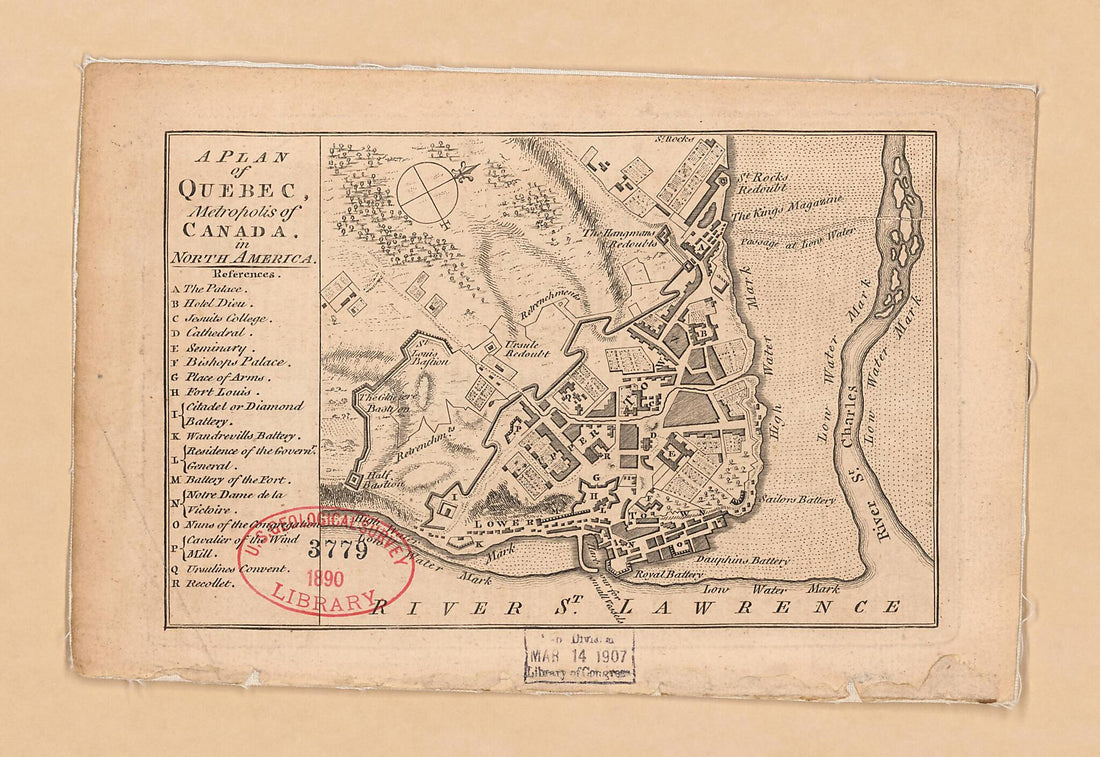 A Plan of Quebec, Metropolis of Canada In North America 1759A Plan of Quebec, Metropolis of Canada In North America 1759
- Regular price
-
$49.95 $99.95 - Regular price
-
$34.95 - Sale price
-
$49.95 $99.95
-
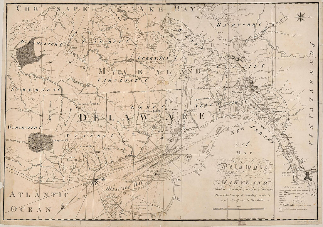 A Map of the State of Delaware and the Eastern Shore of Maryland : With the Soundings of the Bay of Delaware 1801A Map of the State of Delaware and the Eastern Shore of Maryland : With the Soundings of the Bay of Delaware 1801
- Regular price
-
$58.95 $127.95 - Regular price
-
$41.95 - Sale price
-
$58.95 $127.95
-
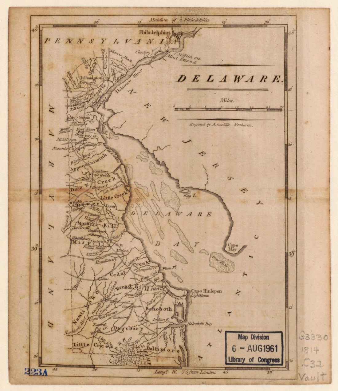 Delaware 1814Delaware 1814
- Regular price
-
$49.95 $83.95 - Regular price
-
$34.95 - Sale price
-
$49.95 $83.95


