

47 products
-
 Hampshire In New England, Taken from Actual Surveys of All the Inhabited Part, and from the Best Information of What Is Uninhabited, Together With the Adjacent Countries, Which Exhibits the Theatre of This War In That Part of the World 1761Hampshire In New England, Taken from Actual Surveys of All the Inhabited Part, and from the Best Information of What Is Uninhabited, Together With the Adjacent Countries, Which Exhibits the Theatre of This War In That Part of the World 1761
- Regular price
-
$54.95 $110.95 - Regular price
-
$38.95 - Sale price
-
$54.95 $110.95
-
 Hampshire In New England & All the Adjacent Country Northward to the River St. Lawrence, & Eastward to Penobscot Bay, Containing the Principal Places Which Relate to the Present War On the Continent of North America 1757Hampshire In New England & All the Adjacent Country Northward to the River St. Lawrence, & Eastward to Penobscot Bay, Containing the Principal Places Which Relate to the Present War On the Continent of North America 1757
- Regular price
-
$54.95 $90.95 - Regular price
-
$38.95 - Sale price
-
$54.95 $90.95
-
 A Map of the Most Inhabited Part of New England, Containing the Provinces of Massachusets Bay and New Hampshire, With the Colonies of Conecticut and Rhode Island, Divided Into Counties and Townships; the Whole Composed from Actual Surveys and Its Situ...A Map of the Most Inhabited Part of New England, Containing the Provinces of Massachusets Bay and New Hampshire, With the Colonies of Conecticut and Rhode Island, Divided Into Counties and Townships; the Whole Composed from Actual Surveys and Its Situ...
- Regular price
-
$54.95 $176.95 - Regular price
-
$38.95 - Sale price
-
$54.95 $176.95
-
 A Map of the Most Inhabited Part of New England, Containing the Provinces of Massachusets Bay and New Hampshire With the Colonies of Conecticut and Rhode Island Divided Into Counties and Townships, the Whole Composed From Actual Surveys and Its Situat...A Map of the Most Inhabited Part of New England, Containing the Provinces of Massachusets Bay and New Hampshire With the Colonies of Conecticut and Rhode Island Divided Into Counties and Townships, the Whole Composed From Actual Surveys and Its Situat...
- Regular price
-
$54.95 $126.95 - Regular price
-
$38.95 - Sale price
-
$54.95 $126.95
-
 An Accurate Map of New Hampshire In New England, from a Late Survey 1781An Accurate Map of New Hampshire In New England, from a Late Survey 1781
- Regular price
-
$49.95 $83.95 - Regular price
-
$34.95 - Sale price
-
$49.95 $83.95
-
 Hampshire In New England, Taken from Actual Surveys of All the Inhabited Part, and from the Best Information of What Is Uninhabited, Together With the Adjacent Countries, Which Exhibits the Theatre of This War In That Part of the World 1784Hampshire In New England, Taken from Actual Surveys of All the Inhabited Part, and from the Best Information of What Is Uninhabited, Together With the Adjacent Countries, Which Exhibits the Theatre of This War In That Part of the World 1784
- Regular price
-
$49.95 $108.95 - Regular price
-
$34.95 - Sale price
-
$49.95 $108.95
-
 This Plan of the British Dominions of New England In North America 1753This Plan of the British Dominions of New England In North America 1753
- Regular price
-
$49.95 $156.95 - Regular price
-
$34.95 - Sale price
-
$49.95 $156.95
-
 Bird's Eye View of Casco Bay, Portland, Maine, and Surroundings 1906Bird's Eye View of Casco Bay, Portland, Maine, and Surroundings 1906
- Regular price
-
$51.95 $130.95 - Regular price
-
$32.95 - Sale price
-
$51.95 $130.95
-
 A Map of Massachusetts : from the Best Authorities 1796A Map of Massachusetts : from the Best Authorities 1796
- Regular price
-
$49.95 $83.95 - Regular price
-
$34.95 - Sale price
-
$49.95 $83.95
-
 Colton's Railroad & Township Map of the State of Maine, With Portions of New Hampshire, New Brunswick & Canada 1855Colton's Railroad & Township Map of the State of Maine, With Portions of New Hampshire, New Brunswick & Canada 1855
- Regular price
-
$54.95 $148.95 - Regular price
-
$38.95 - Sale price
-
$54.95 $148.95
-
 Bowles's New Pocket Map of the Most Inhabited Part of New England; Comprehending the Provinces of Massachusets Bay and New Hampshire; With the Colonies of Connecticut & Rhode Island; Divided Into Their Counties, Townships, &c. Together With an Accurat...Bowles's New Pocket Map of the Most Inhabited Part of New England; Comprehending the Provinces of Massachusets Bay and New Hampshire; With the Colonies of Connecticut & Rhode Island; Divided Into Their Counties, Townships, &c. Together With an Accurat...
- Regular price
-
$54.95 $83.95 - Regular price
-
$38.95 - Sale price
-
$54.95 $83.95
-
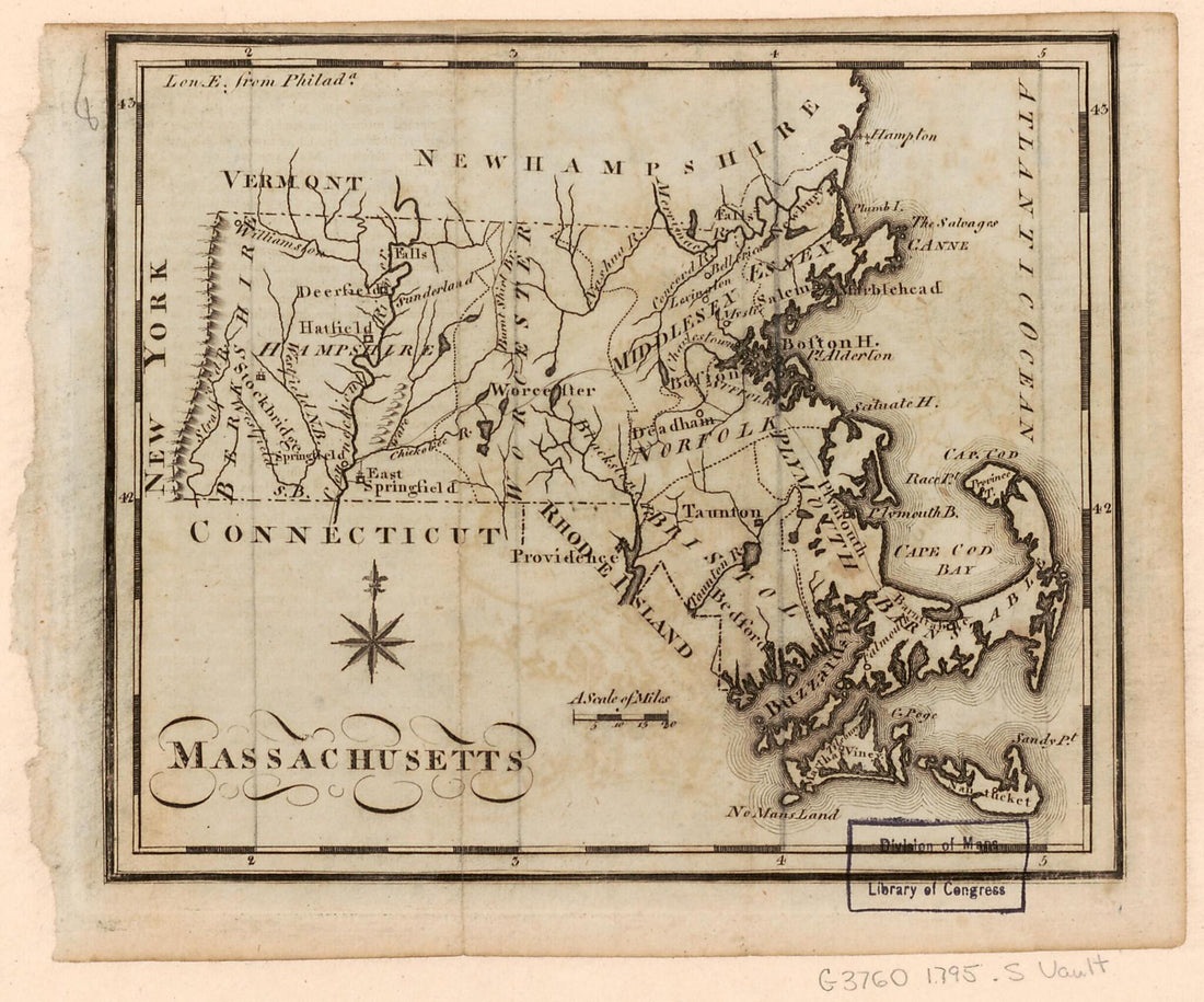 Massachusetts 1795Massachusetts 1795
- Regular price
-
$49.95 $83.95 - Regular price
-
$34.95 - Sale price
-
$49.95 $83.95


