4825 products
-
 Image 14 of Atlas of Fifteen Miles Around Washington, Including the County of Prince George, Maryland from Atlas of Fifteen Miles Around Washington, Including the County of Prince George, Maryland 1878Image 14 of Atlas of Fifteen Miles Around Washington, Including the County of Prince George, Maryland from Atlas of Fifteen Miles Around Washington, Including the County of Prince George, Maryland 1878
- Regular price
-
$39.95 $88.95 - Regular price
-
$36.95 - Sale price
-
$39.95 $88.95
-
 Image 55 of Atlas of Fifteen Miles Around Washington, Including the County of Prince George, Maryland from Atlas of Fifteen Miles Around Washington, Including the County of Prince George, Maryland 1878Image 55 of Atlas of Fifteen Miles Around Washington, Including the County of Prince George, Maryland from Atlas of Fifteen Miles Around Washington, Including the County of Prince George, Maryland 1878
- Regular price
-
$39.95 $99.95 - Regular price
-
$36.95 - Sale price
-
$39.95 $99.95
-
 Image 18 of Atlas of Fifteen Miles Around Washington, Including the County of Prince George, Maryland from Atlas of Fifteen Miles Around Washington, Including the County of Prince George, Maryland 1878Image 18 of Atlas of Fifteen Miles Around Washington, Including the County of Prince George, Maryland from Atlas of Fifteen Miles Around Washington, Including the County of Prince George, Maryland 1878
- Regular price
-
$39.95 $88.95 - Regular price
-
$36.95 - Sale price
-
$39.95 $88.95
-
 Image 45 of Atlas of Fifteen Miles Around Washington, Including the County of Prince George, Maryland from Atlas of Fifteen Miles Around Washington, Including the County of Prince George, Maryland 1878Image 45 of Atlas of Fifteen Miles Around Washington, Including the County of Prince George, Maryland from Atlas of Fifteen Miles Around Washington, Including the County of Prince George, Maryland 1878
- Regular price
-
$39.95 $88.95 - Regular price
-
$36.95 - Sale price
-
$39.95 $88.95
-
 Image 40 of Atlas of Fifteen Miles Around Washington, Including the County of Prince George, Maryland from Atlas of Fifteen Miles Around Washington, Including the County of Prince George, Maryland 1878Image 40 of Atlas of Fifteen Miles Around Washington, Including the County of Prince George, Maryland from Atlas of Fifteen Miles Around Washington, Including the County of Prince George, Maryland 1878
- Regular price
-
$39.95 $99.95 - Regular price
-
$36.95 - Sale price
-
$39.95 $99.95
-
 Image 59 of Atlas of Fifteen Miles Around Washington, Including the County of Prince George, Maryland from Atlas of Fifteen Miles Around Washington, Including the County of Prince George, Maryland 1878Image 59 of Atlas of Fifteen Miles Around Washington, Including the County of Prince George, Maryland from Atlas of Fifteen Miles Around Washington, Including the County of Prince George, Maryland 1878
- Regular price
-
$39.95 $99.95 - Regular price
-
$36.95 - Sale price
-
$39.95 $99.95
-
 Image 31 of Atlas of Fifteen Miles Around Washington, Including the County of Prince George, Maryland from Atlas of Fifteen Miles Around Washington, Including the County of Prince George, Maryland 1878Image 31 of Atlas of Fifteen Miles Around Washington, Including the County of Prince George, Maryland from Atlas of Fifteen Miles Around Washington, Including the County of Prince George, Maryland 1878
- Regular price
-
$39.95 $99.95 - Regular price
-
$36.95 - Sale price
-
$39.95 $99.95
-
 Image 51 of Atlas of Fifteen Miles Around Washington, Including the County of Prince George, Maryland from Atlas of Fifteen Miles Around Washington, Including the County of Prince George, Maryland 1878Image 51 of Atlas of Fifteen Miles Around Washington, Including the County of Prince George, Maryland from Atlas of Fifteen Miles Around Washington, Including the County of Prince George, Maryland 1878
- Regular price
-
$39.95 $88.95 - Regular price
-
$36.95 - Sale price
-
$39.95 $88.95
-
 Image 19 of Atlas of Fifteen Miles Around Washington, Including the County of Prince George, Maryland from Atlas of Fifteen Miles Around Washington, Including the County of Prince George, Maryland 1878Image 19 of Atlas of Fifteen Miles Around Washington, Including the County of Prince George, Maryland from Atlas of Fifteen Miles Around Washington, Including the County of Prince George, Maryland 1878
- Regular price
-
$39.95 $99.95 - Regular price
-
$36.95 - Sale price
-
$39.95 $99.95
-
 Image 58 of Atlas of Fifteen Miles Around Washington, Including the County of Prince George, Maryland from Atlas of Fifteen Miles Around Washington, Including the County of Prince George, Maryland 1878Image 58 of Atlas of Fifteen Miles Around Washington, Including the County of Prince George, Maryland from Atlas of Fifteen Miles Around Washington, Including the County of Prince George, Maryland 1878
- Regular price
-
$39.95 $99.95 - Regular price
-
$36.95 - Sale price
-
$39.95 $99.95
-
 Image 50 of Atlas of Fifteen Miles Around Washington, Including the County of Prince George, Maryland from Atlas of Fifteen Miles Around Washington, Including the County of Prince George, Maryland 1878Image 50 of Atlas of Fifteen Miles Around Washington, Including the County of Prince George, Maryland from Atlas of Fifteen Miles Around Washington, Including the County of Prince George, Maryland 1878
- Regular price
-
$39.95 $83.95 - Regular price
-
$36.95 - Sale price
-
$39.95 $83.95
-
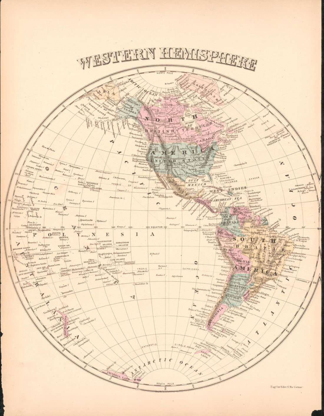 Image 61 of Atlas of Fifteen Miles Around Washington, Including the County of Prince George, Maryland from Atlas of Fifteen Miles Around Washington, Including the County of Prince George, Maryland 1878Image 61 of Atlas of Fifteen Miles Around Washington, Including the County of Prince George, Maryland from Atlas of Fifteen Miles Around Washington, Including the County of Prince George, Maryland 1878
- Regular price
-
$39.95 $88.95 - Regular price
-
$36.95 - Sale price
-
$39.95 $88.95


