1429 products
-
Topographical Map of Virginia Between Washington and Manassas Junction 1861
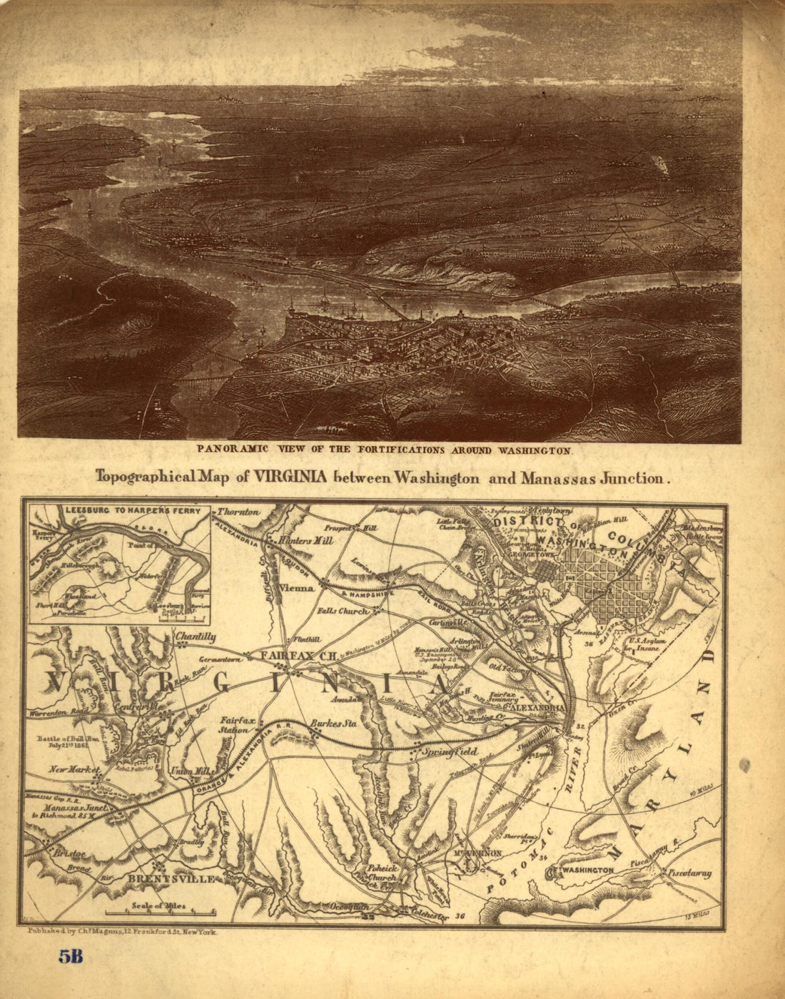 Topographical Map of Virginia Between Washington and Manassas Junction 1861
- Regular price
-
From
$19.95 - Regular price
-
$29.95 - Sale price
-
From
$19.95
-
Map of the First & Second Division of the James River & Kanawha Canal 1863
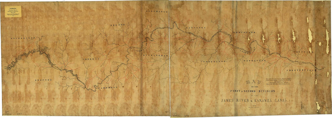 Map of the First & Second Division of the James River & Kanawha Canal 1863
- Regular price
-
From
$41.95 - Regular price
-
$66.99 - Sale price
-
From
$41.95
-
Map Shewing sic Retreat of Union Army from Savage's Station to White Oak Swamp, Va. : the Position of Army After Crossing Morning of 30th June 1862, 7 A.m 06-30
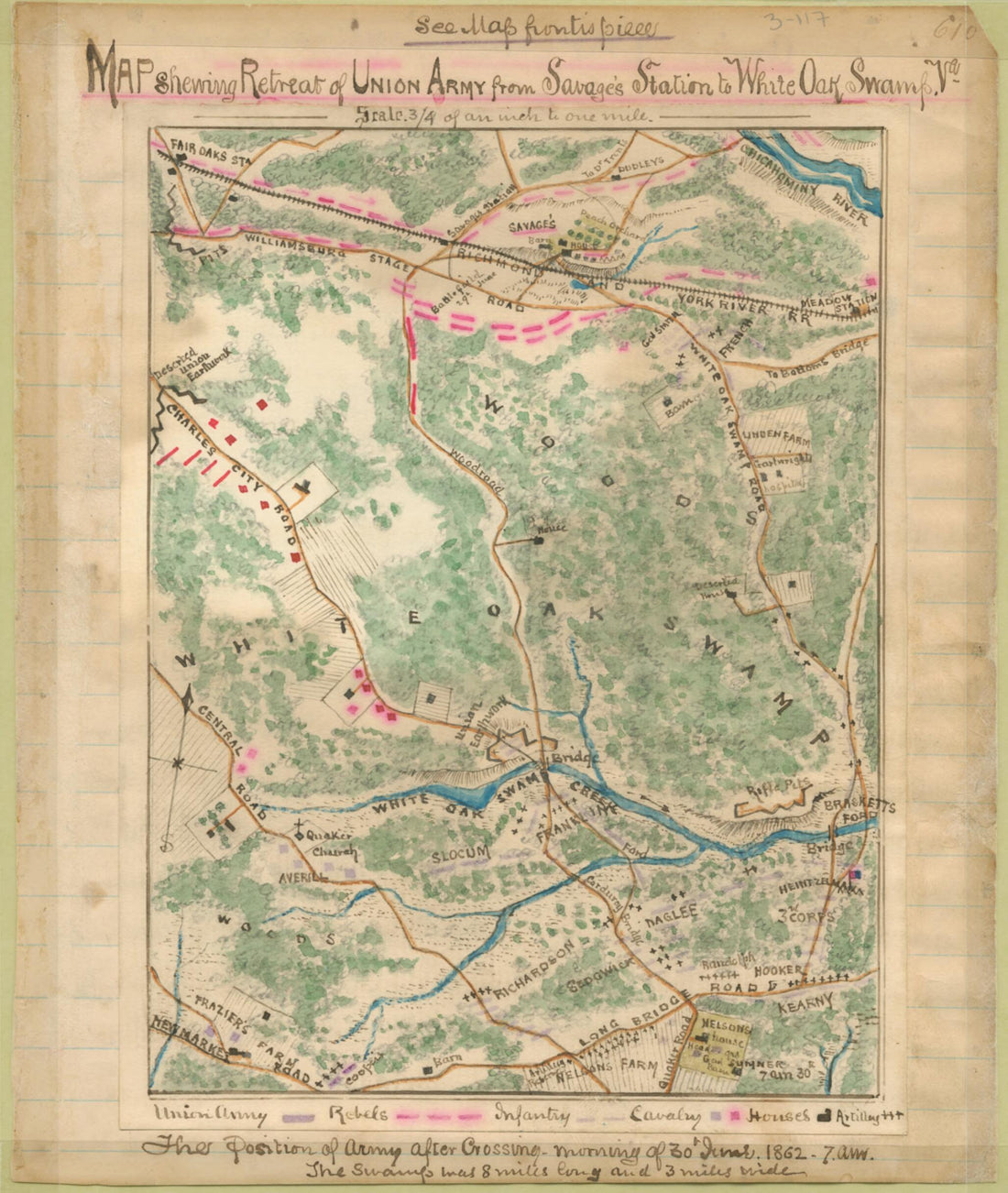 Map Shewing sic Retreat of Union Army from Savage's Station to White Oak Swamp, Va. : the Position of Army After Crossing Morning of 30th June 1862, 7 A.m 06-30
- Regular price
-
From
$19.95 - Regular price
-
$29.95 - Sale price
-
From
$19.95
-
Map of the Rebel Fortifications at Columbus, Ky. (Rebel Fortifications at Columbus, Ky) 1862
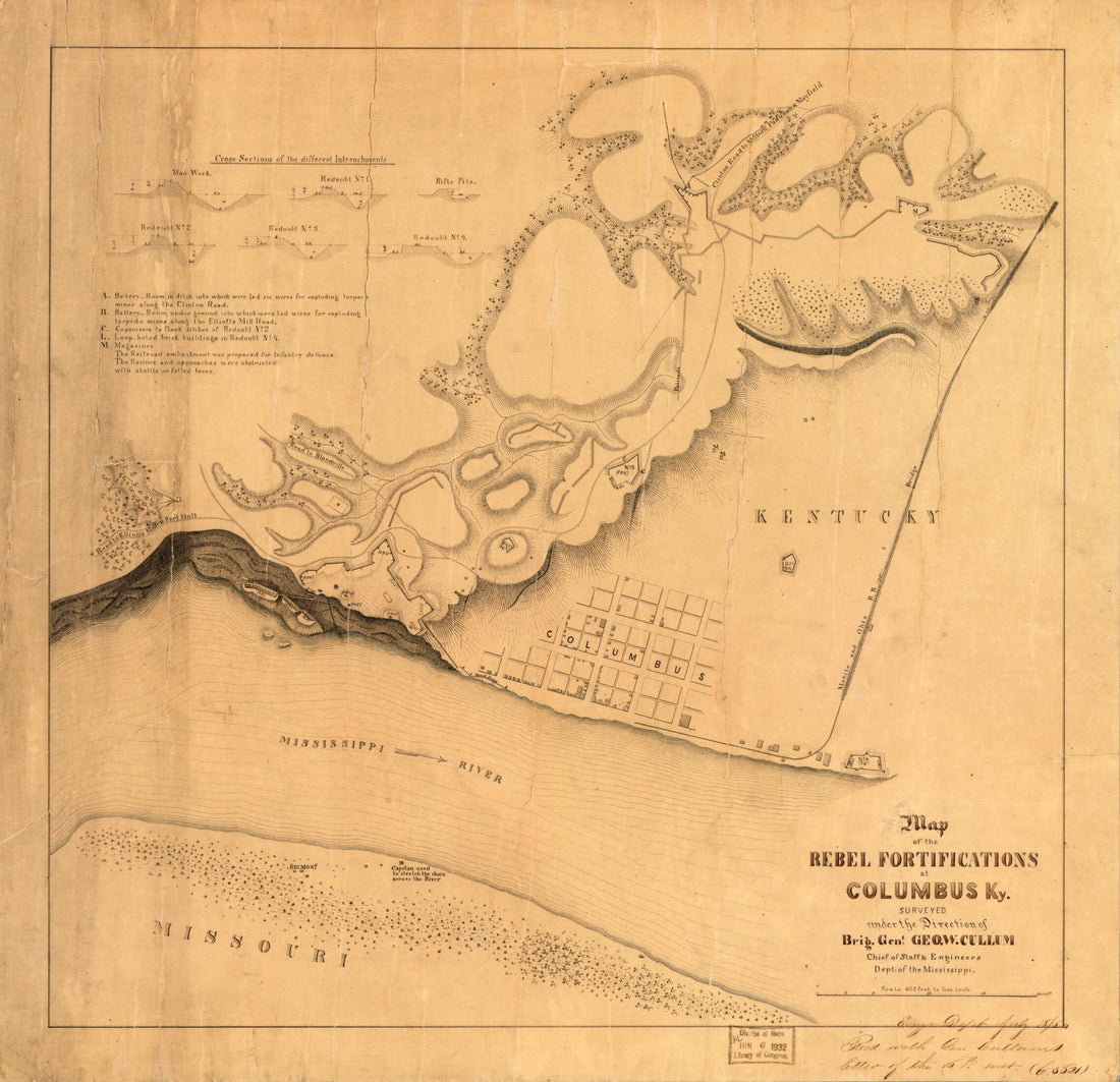 Map of the Rebel Fortifications at Columbus, Ky. (Rebel Fortifications at Columbus, Ky) 1862
- Regular price
-
From
$34.95 - Regular price
-
$49.99 - Sale price
-
From
$34.95
-
Civil War Virginia Campaigns, 1862 1921
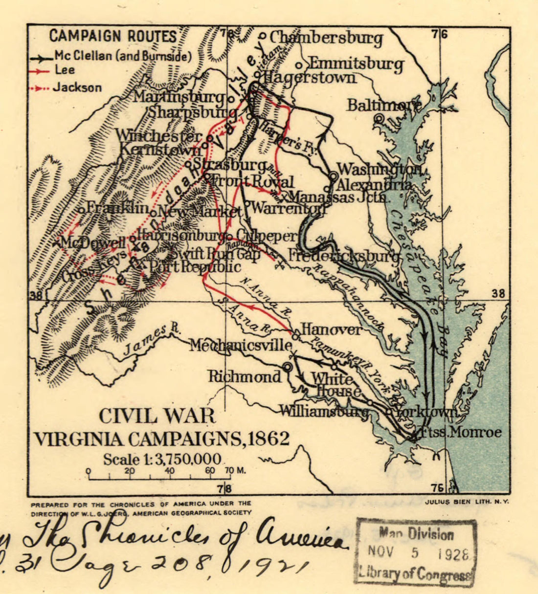 Civil War Virginia Campaigns, 1862 1921
- Regular price
-
From
$19.95 - Regular price
-
$29.95 - Sale price
-
From
$19.95
-
A Plan of Fort Ontario Built at Oswego In 1759 1900
 A Plan of Fort Ontario Built at Oswego In 1759 1900
- Regular price
-
From
$20.95 - Regular price
-
$32.95 - Sale price
-
From
$20.95
-
Map of the City of Petersburg, Va. : from Lynch's Map : With the Confederate & Federal Lines On the East 1867
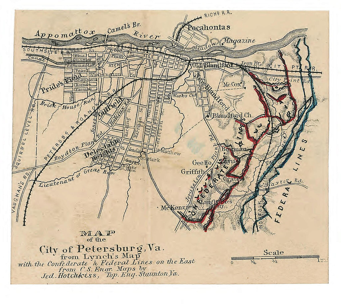 Map of the City of Petersburg, Va. : from Lynch's Map : With the Confederate & Federal Lines On the East 1867
- Regular price
-
From
$19.95 - Regular price
-
$29.95 - Sale price
-
From
$19.95
-
Fort Lyon, Near Alexandria, Virginia 1861
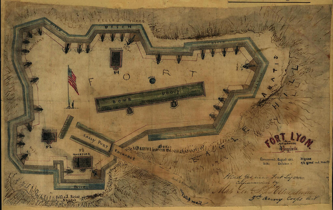 Fort Lyon, Near Alexandria, Virginia 1861
- Regular price
-
From
$19.95 - Regular price
-
$29.95 - Sale price
-
From
$19.95
-
The Course of Delaware River from Philadelphia to Chester, Exhibiting the Several Works Erected by the Rebels to Defend Its Passage, With the Attacks Made Upon Them by His Majesty's Land & Sea Forces 1777
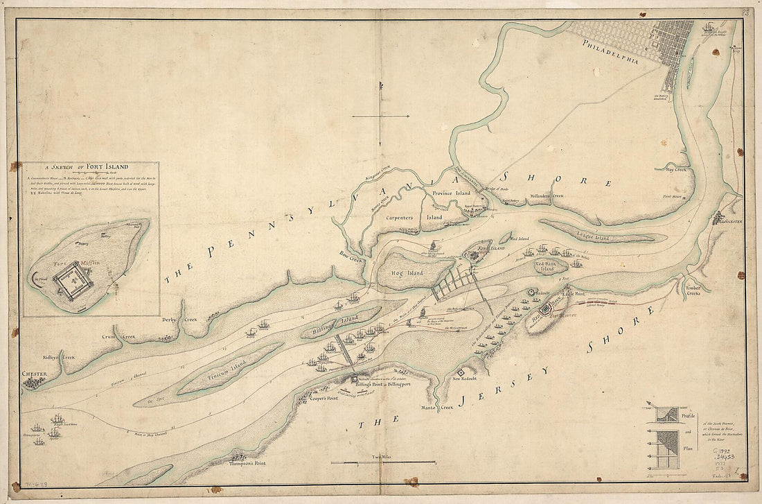 The Course of Delaware River from Philadelphia to Chester, Exhibiting the Several Works Erected by the Rebels to Defend Its Passage, With the Attacks Made Upon Them by His Majesty's Land & Sea Forces 1777
- Regular price
-
From
$41.95 - Regular price
-
$66.99 - Sale price
-
From
$41.95
-
A Map of the River Mississippi and Territory Adjacent to N. Orleans Illustrating the Military Position and Camp at Terre Au Boeuf 1815
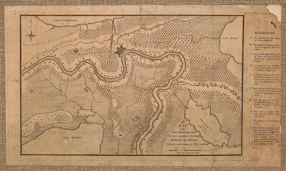 A Map of the River Mississippi and Territory Adjacent to N. Orleans Illustrating the Military Position and Camp at Terre Au Boeuf 1815
- Regular price
-
From
$19.95 - Regular price
-
$29.95 - Sale price
-
From
$19.95
-
Map of the United States of America Showing the Boundaries of the Union and Confederate Geographical Divisions and Departments, June 30, 1861 1905
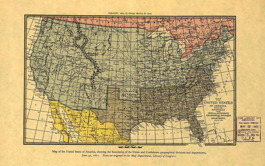 Map of the United States of America Showing the Boundaries of the Union and Confederate Geographical Divisions and Departments, June 30, 1861 1905
- Regular price
-
From
$19.95 - Regular price
-
$29.95 - Sale price
-
From
$19.95
-
Map of the Battle Ground of Greenbrier River 1861
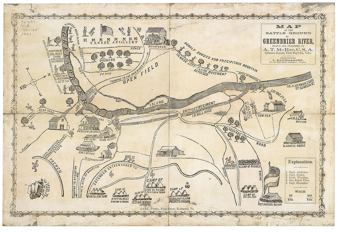 Map of the Battle Ground of Greenbrier River 1861
- Regular price
-
From
$23.95 - Regular price
-
$37.95 - Sale price
-
From
$23.95


