1648 products
-
Map of Greene County, Va. 1860
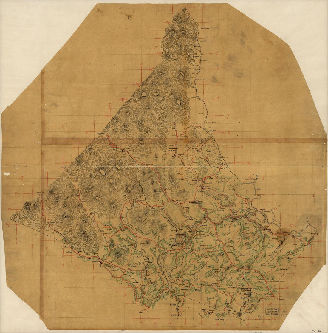 Map of Greene County, Va. 1860
- Regular price
-
$34.95 $115.95 - Regular price
-
$34.95 - Sale price
-
$34.95 $115.95
-
Map of Dinwiddie County, Va 1864
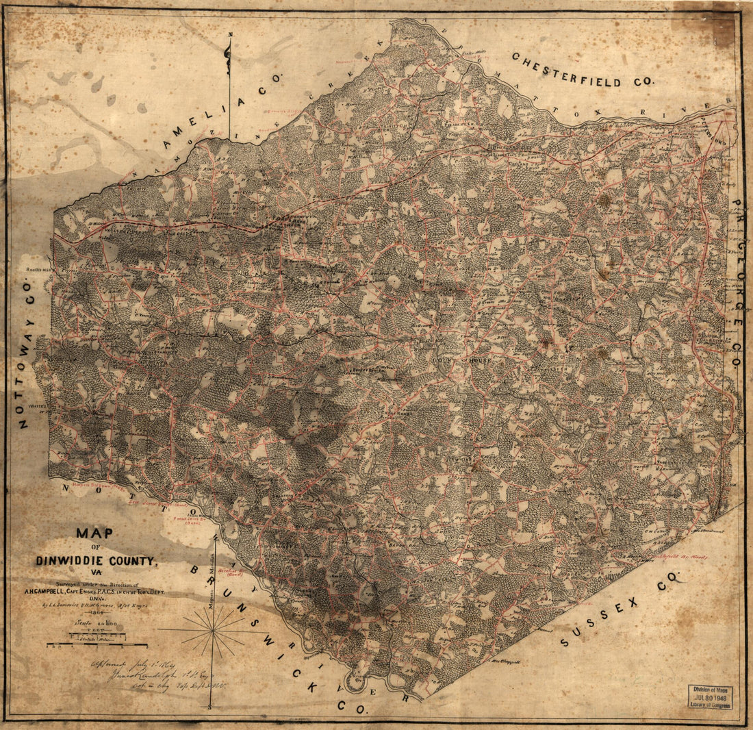 Map of Dinwiddie County, Va 1864
- Regular price
-
$34.95 $78.95 - Regular price
-
$34.95 - Sale price
-
$34.95 $78.95
-
Map of Deuel County, South Dakota : Compiled and Drawn from a Special Survey and Official Records 1899
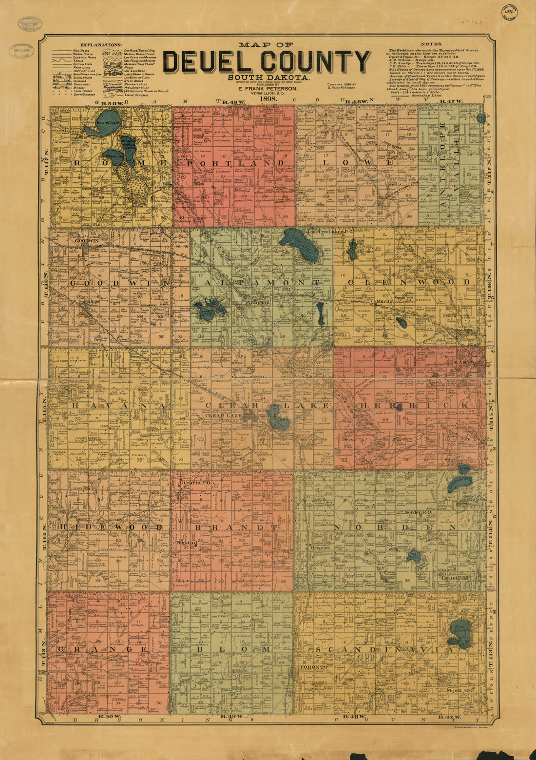 Map of Deuel County, South Dakota : Compiled and Drawn from a Special Survey and Official Records 1899
- Regular price
-
$41.95 $149.95 - Regular price
-
$41.95 - Sale price
-
$41.95 $149.95
-
Zavalla sic. County. (Zavala County) 1879
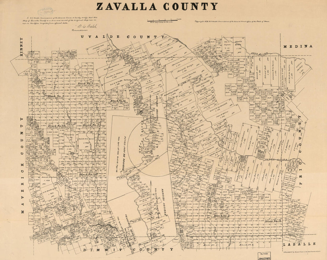 Zavalla sic. County. (Zavala County) 1879
- Regular price
-
$34.95 $78.95 - Regular price
-
$34.95 - Sale price
-
$34.95 $78.95
-
Parker Co. / Drawn and Compiled by Herman Pressler. (Parker County, Texas) 1889
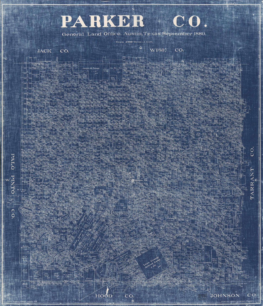 Parker Co. / Drawn and Compiled by Herman Pressler. (Parker County, Texas) 1889
- Regular price
-
$34.95 $139.95 - Regular price
-
$34.95 - Sale price
-
$34.95 $139.95
-
McClennan sic Co., Texas. (McLennan County, Texas) 1880
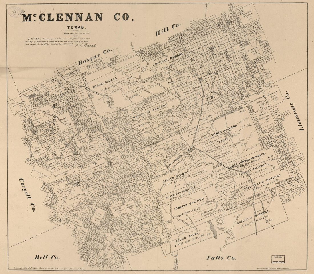 McClennan sic Co., Texas. (McLennan County, Texas) 1880
- Regular price
-
$34.95 $78.95 - Regular price
-
$34.95 - Sale price
-
$34.95 $78.95
-
Part of Spottsylvania sic County. (Part of Spotsylvania County) 1860
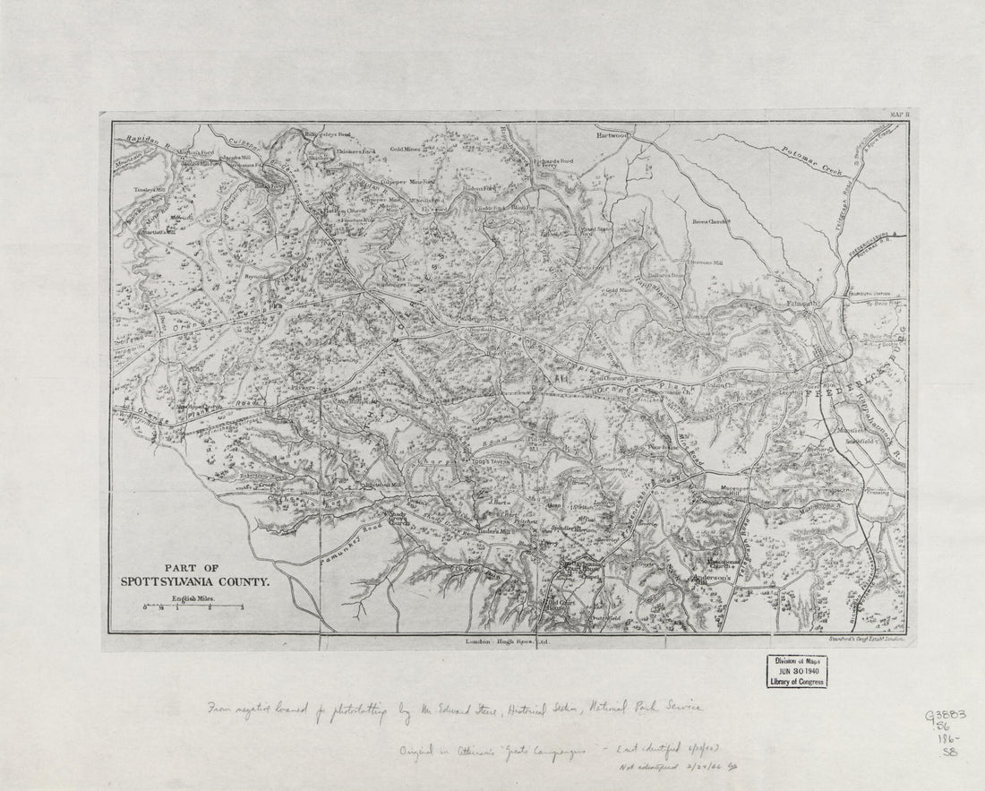 Part of Spottsylvania sic County. (Part of Spotsylvania County) 1860
- Regular price
-
$34.95 $78.95 - Regular price
-
$34.95 - Sale price
-
$34.95 $78.95
-
Survey of Lands In Blue Ridge Between Manassass Gap, Ashby's and Sincker's Gap In Clarke and Warren Counties : Rawleigh Colston's Land 1834
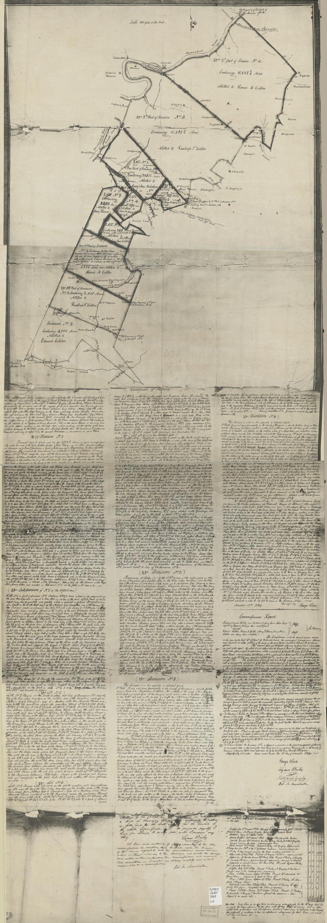 Survey of Lands In Blue Ridge Between Manassass Gap, Ashby's and Sincker's Gap In Clarke and Warren Counties : Rawleigh Colston's Land 1834
- Regular price
-
$41.95 $136.95 - Regular price
-
$41.95 - Sale price
-
$41.95 $136.95
-
Howard County, Texas 1890
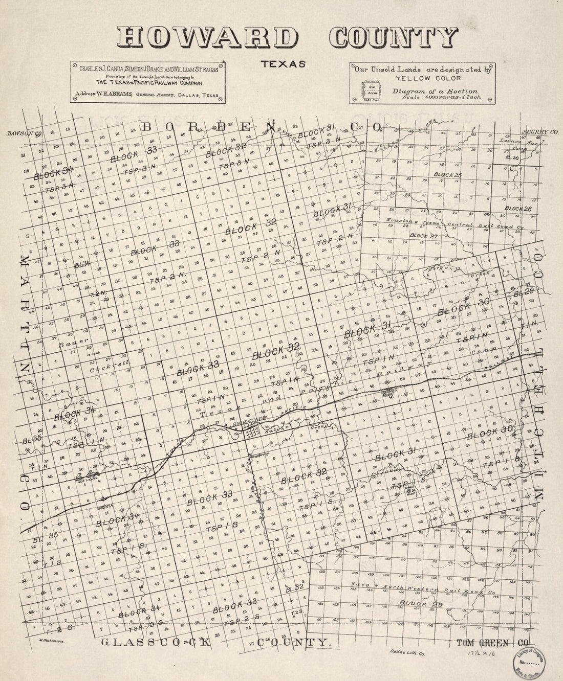 Howard County, Texas 1890
- Regular price
-
$34.95 $78.95 - Regular price
-
$34.95 - Sale price
-
$34.95 $78.95
-
Map of Schoharie Co., New York in 1856
 Map of Schoharie Co., New York in 1856
- Regular price
-
$41.95 $180.95 - Regular price
-
$41.95 - Sale price
-
$41.95 $180.95
-
Survey of the Property of George Poffenberger and Mrs. Nicodemus In Washington County, Md. 1883
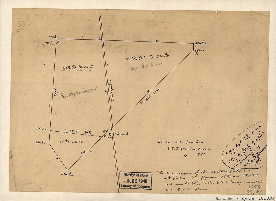 Survey of the Property of George Poffenberger and Mrs. Nicodemus In Washington County, Md. 1883
- Regular price
-
$29.95 $83.95 - Regular price
-
$29.95 - Sale price
-
$29.95 $83.95
-
Lloyd's Topographical Map of the Hudson River : from the Head of Navigation at Troy to Its Confluence With the Ocean at Sandy Hook : Embracing an Area of 4 Miles On Either Side ... and the River Channel and Mileage. (Topographical Map of the Hudson Ri...
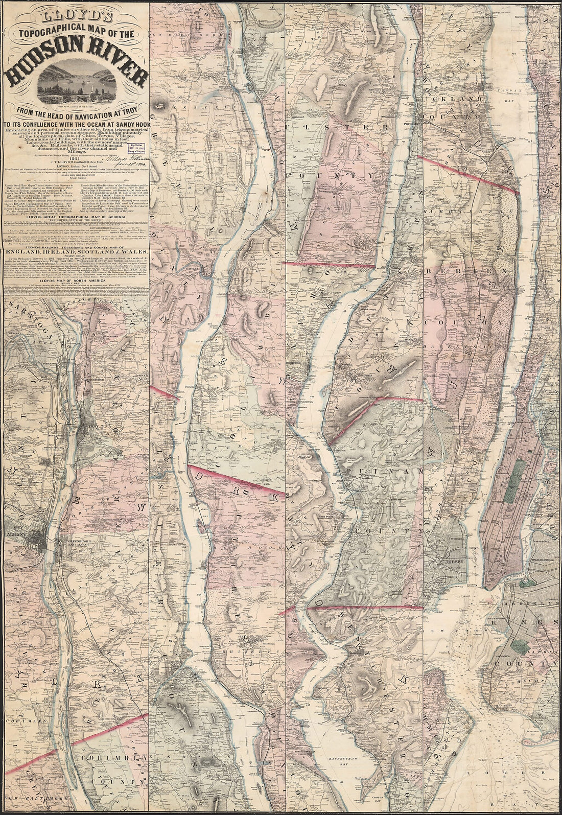 Lloyd's Topographical Map of the Hudson River : from the Head of Navigation at Troy to Its Confluence With the Ocean at Sandy Hook : Embracing an Area of 4 Miles On Either Side ... and the River Channel and Mileage. (Topographical Map of the Hudson Ri...
- Regular price
-
$41.95 $293.95 - Regular price
-
$41.95 - Sale price
-
$41.95 $293.95


