1648 products
-
Map of Bee County, Texas 1879
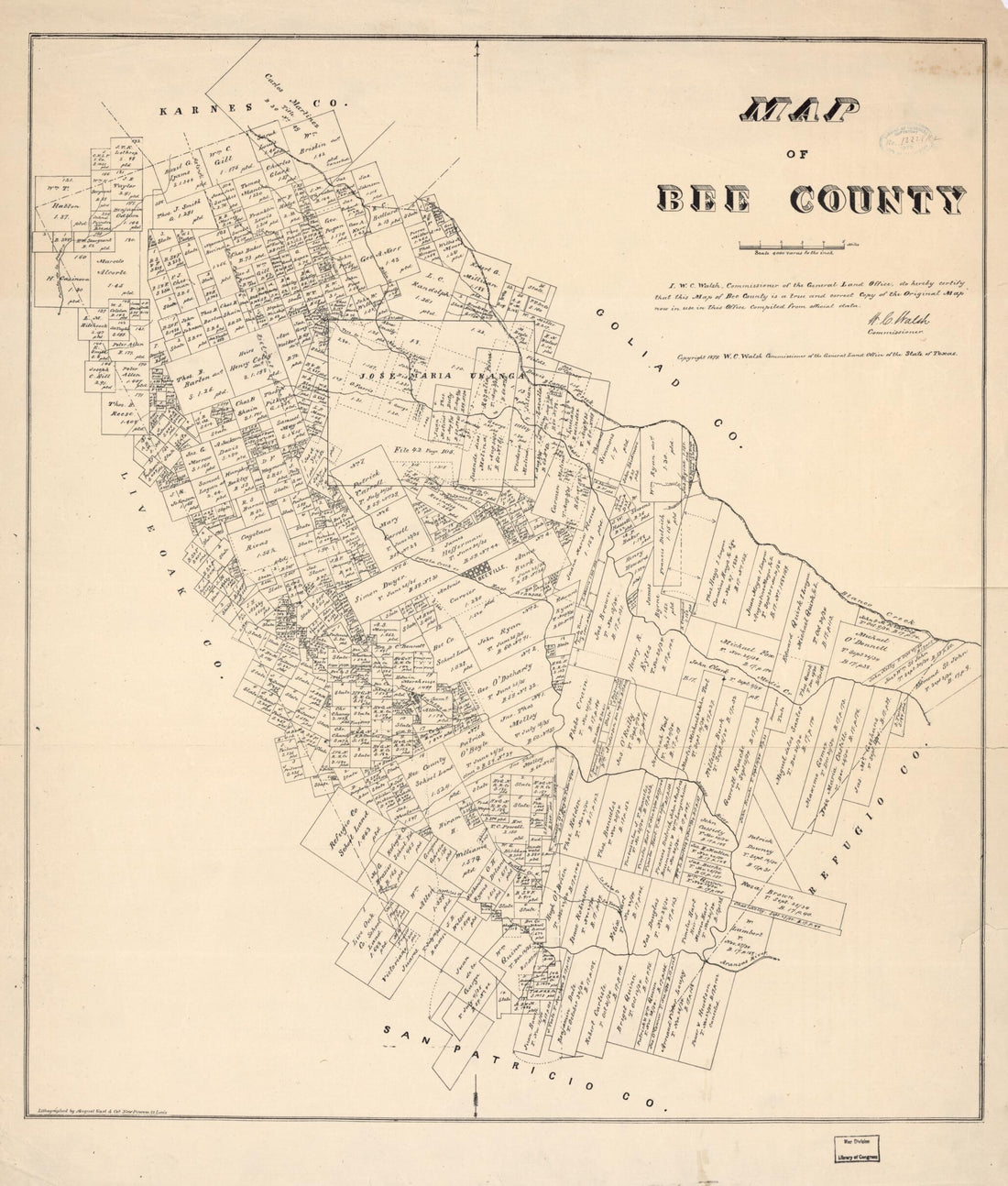 Map of Bee County, Texas 1879
- Regular price
-
$34.95 $109.95 - Regular price
-
$34.95 - Sale price
-
$34.95 $109.95
-
Map of Scott Co., Kentucky (Map of Scott County, Kentucky) 1879
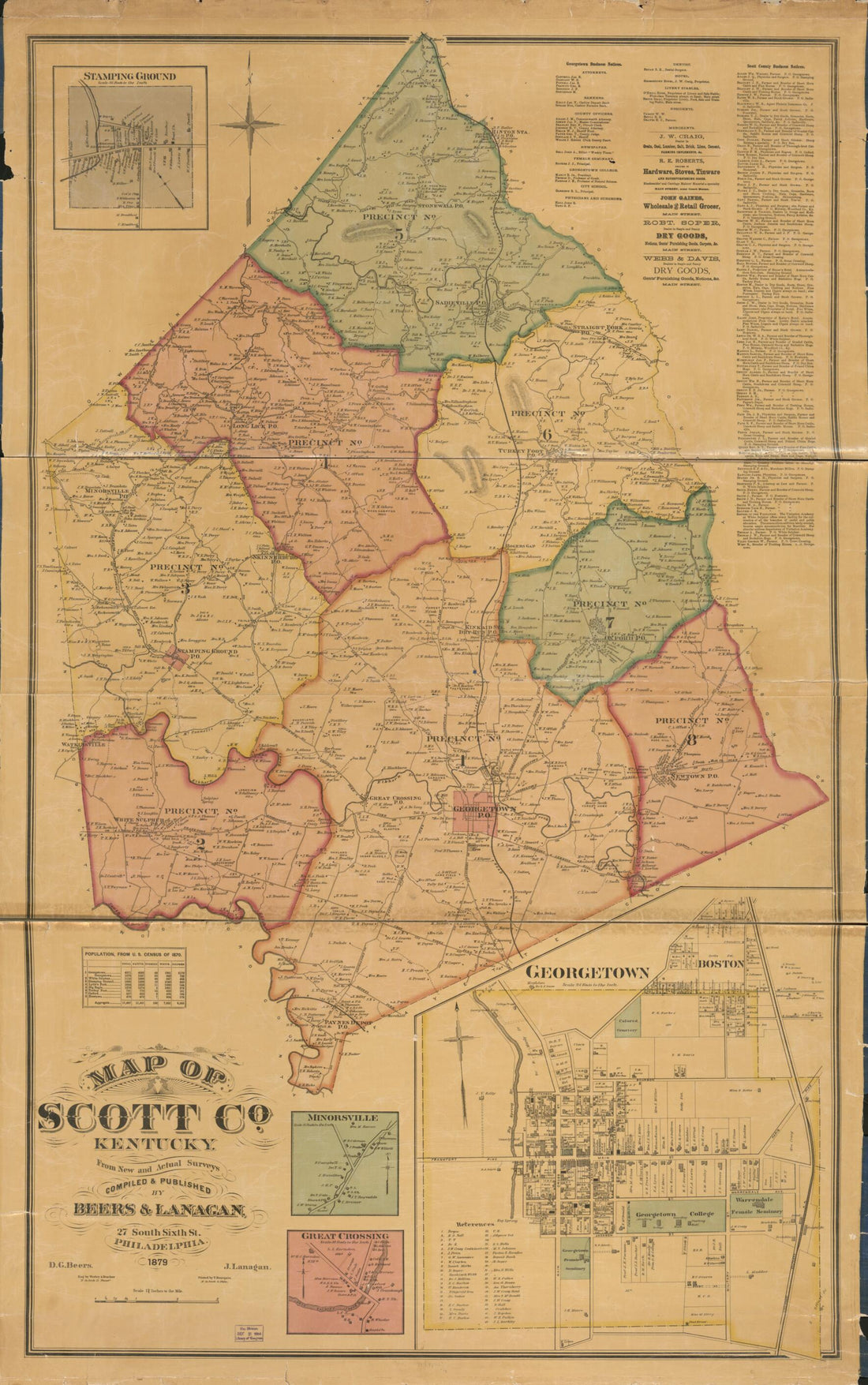 Map of Scott Co., Kentucky (Map of Scott County, Kentucky) 1879
- Regular price
-
$41.95 $161.95 - Regular price
-
$41.95 - Sale price
-
$41.95 $161.95
-
Keddie's Map of Plumas County, California (Map of Plumas County, California) 1892
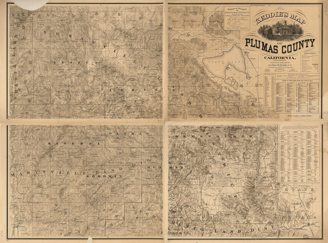 Keddie's Map of Plumas County, California (Map of Plumas County, California) 1892
- Regular price
-
$32.95 $312.95 - Regular price
-
$32.95 - Sale price
-
$32.95 $312.95
-
Map of Callahan Co 1879
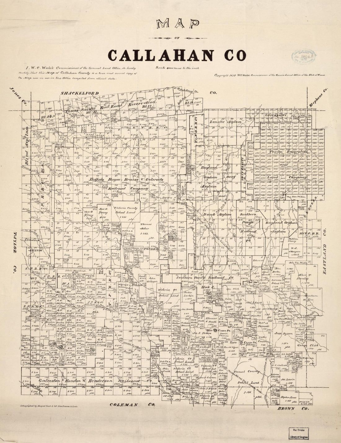 Map of Callahan Co 1879
- Regular price
-
$32.95 $83.95 - Regular price
-
$32.95 - Sale price
-
$32.95 $83.95
-
Map of Coahoma County In the State of Mississippi : Taken from the Original Field Notes, Personal Survey & Actual Observations 1872
 Map of Coahoma County In the State of Mississippi : Taken from the Original Field Notes, Personal Survey & Actual Observations 1872
- Regular price
-
$34.95 $198.95 - Regular price
-
$34.95 - Sale price
-
$34.95 $198.95
-
Map of Chesterfield County, Va 1888
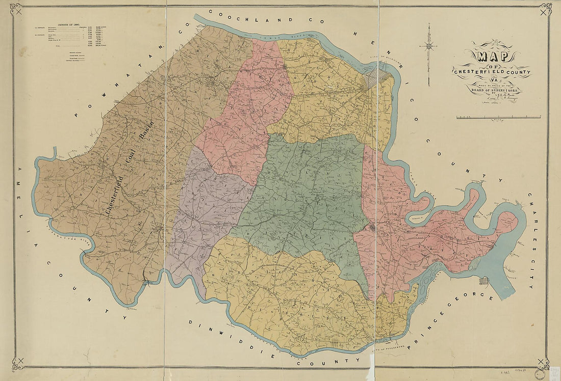 Map of Chesterfield County, Va 1888
- Regular price
-
$41.95 $311.95 - Regular price
-
$41.95 - Sale price
-
$41.95 $311.95
-
Palo Pinto County 1898
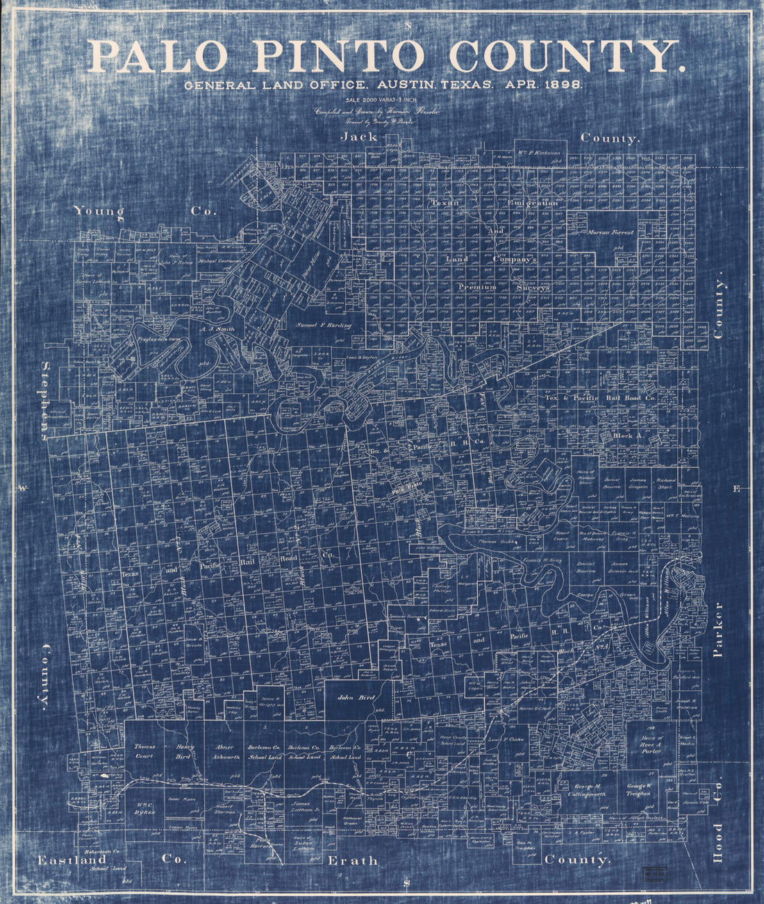 Palo Pinto County 1898
- Regular price
-
$34.95 $159.95 - Regular price
-
$34.95 - Sale price
-
$34.95 $159.95
-
Springfield, 1827 : Surveyed by Direction of the Town, 1826
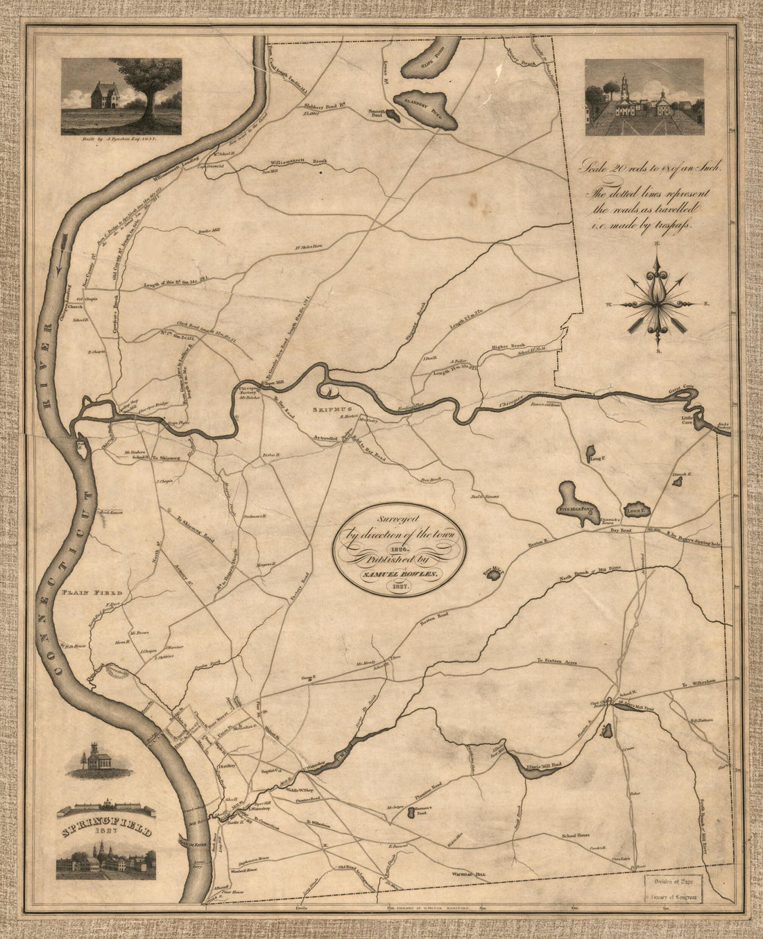 Springfield, 1827 : Surveyed by Direction of the Town, 1826
- Regular price
-
$34.95 $78.95 - Regular price
-
$34.95 - Sale price
-
$34.95 $78.95
-
A Plan of the Town of New Haven : With All the Buildings In 1748 Taken by the Hon. Gen. Wadsworth of Durham to Which Are Added the Names and Professions of the Inhabitants at That Period : Also the Location of Lots to Many of the First Grantees 1806
 A Plan of the Town of New Haven : With All the Buildings In 1748 Taken by the Hon. Gen. Wadsworth of Durham to Which Are Added the Names and Professions of the Inhabitants at That Period : Also the Location of Lots to Many of the First Grantees 1806
- Regular price
-
$32.95 $97.95 - Regular price
-
$32.95 - Sale price
-
$32.95 $97.95
-
Preliminary Map of the Antietam Battlefield Area, Including Sharpsburg and the Adjacent Territory 1895
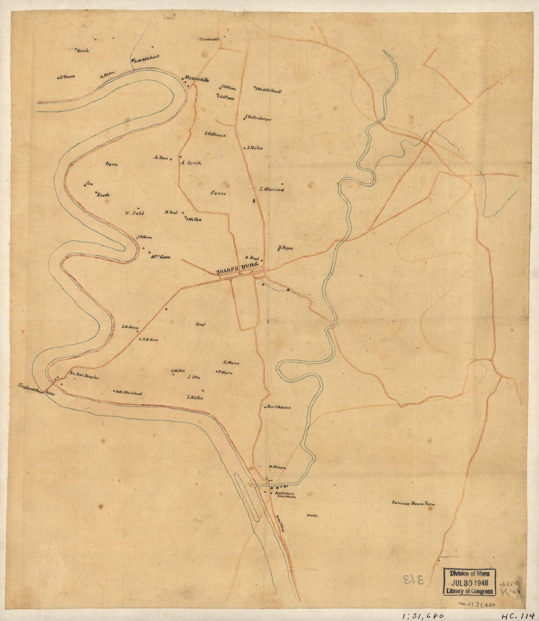 Preliminary Map of the Antietam Battlefield Area, Including Sharpsburg and the Adjacent Territory 1895
- Regular price
-
$29.95 $78.95 - Regular price
-
$29.95 - Sale price
-
$29.95 $78.95
-
Palmer's Farm Map of Brooke County, West Virginia (Farm Map of Brooke County, West Virginia) 1914
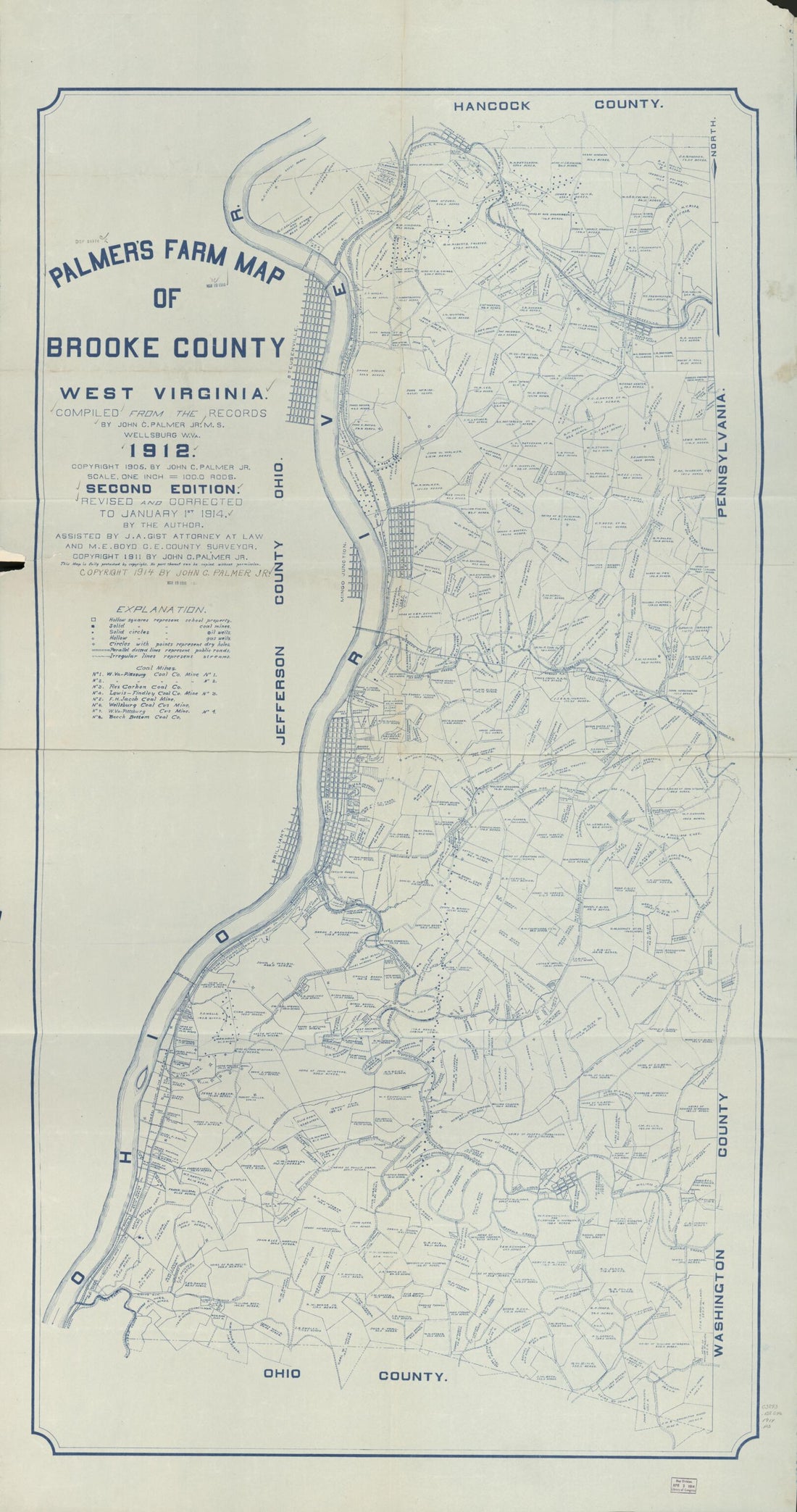 Palmer's Farm Map of Brooke County, West Virginia (Farm Map of Brooke County, West Virginia) 1914
- Regular price
-
$41.95 $196.95 - Regular price
-
$41.95 - Sale price
-
$41.95 $196.95
-
Maps Illustrating the Military Operations of the Atlanta Campaign ... 1864 1875
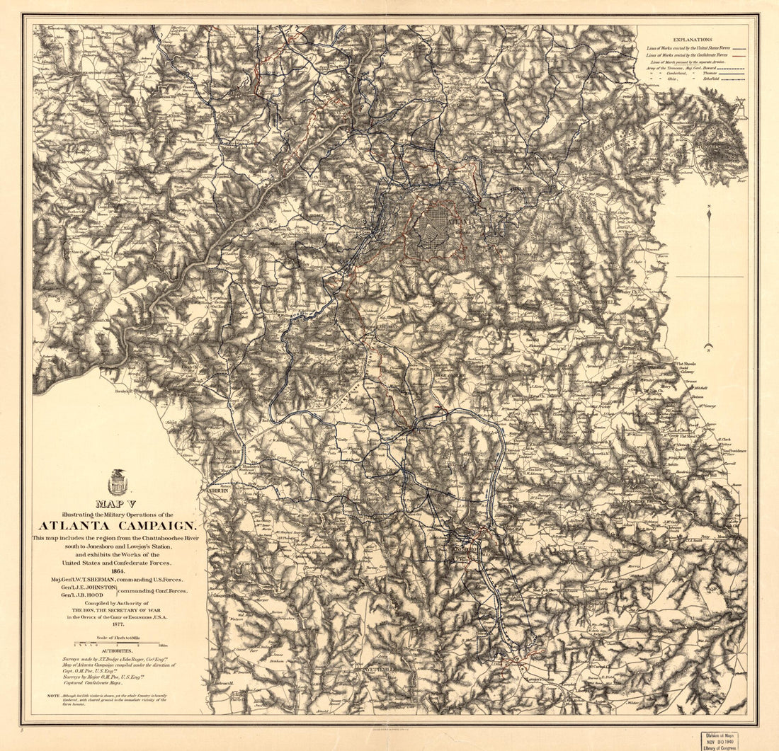 Maps Illustrating the Military Operations of the Atlanta Campaign ... 1864 1875
- Regular price
-
$34.95 $218.95 - Regular price
-
$34.95 - Sale price
-
$34.95 $218.95


