251 products
-
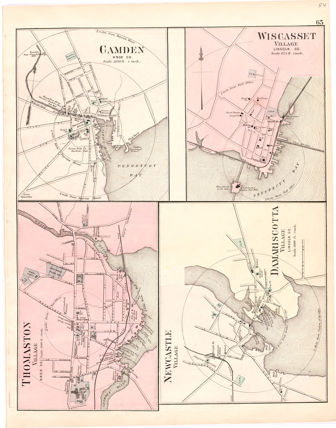 Camden; Wiscasset; Thomaston Village; Newcastle Village; Damariscotta Village from Colby's Atlas of Maine, 1887Camden; Wiscasset; Thomaston Village; Newcastle Village; Damariscotta Village from Colby's Atlas of Maine, 1887
- Regular price
-
$39.95 $68.95 - Regular price
-
$34.95 - Sale price
-
$39.95 $68.95
-
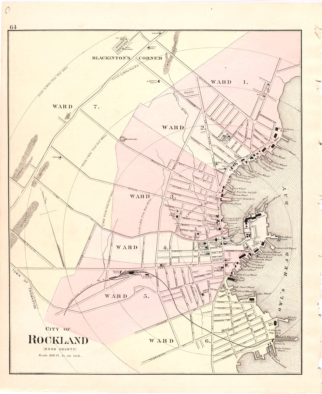 City of Rockland from Colby's Atlas of Maine, 1887City of Rockland from Colby's Atlas of Maine, 1887
- Regular price
-
$39.95 $68.95 - Regular price
-
$34.95 - Sale price
-
$39.95 $68.95
-
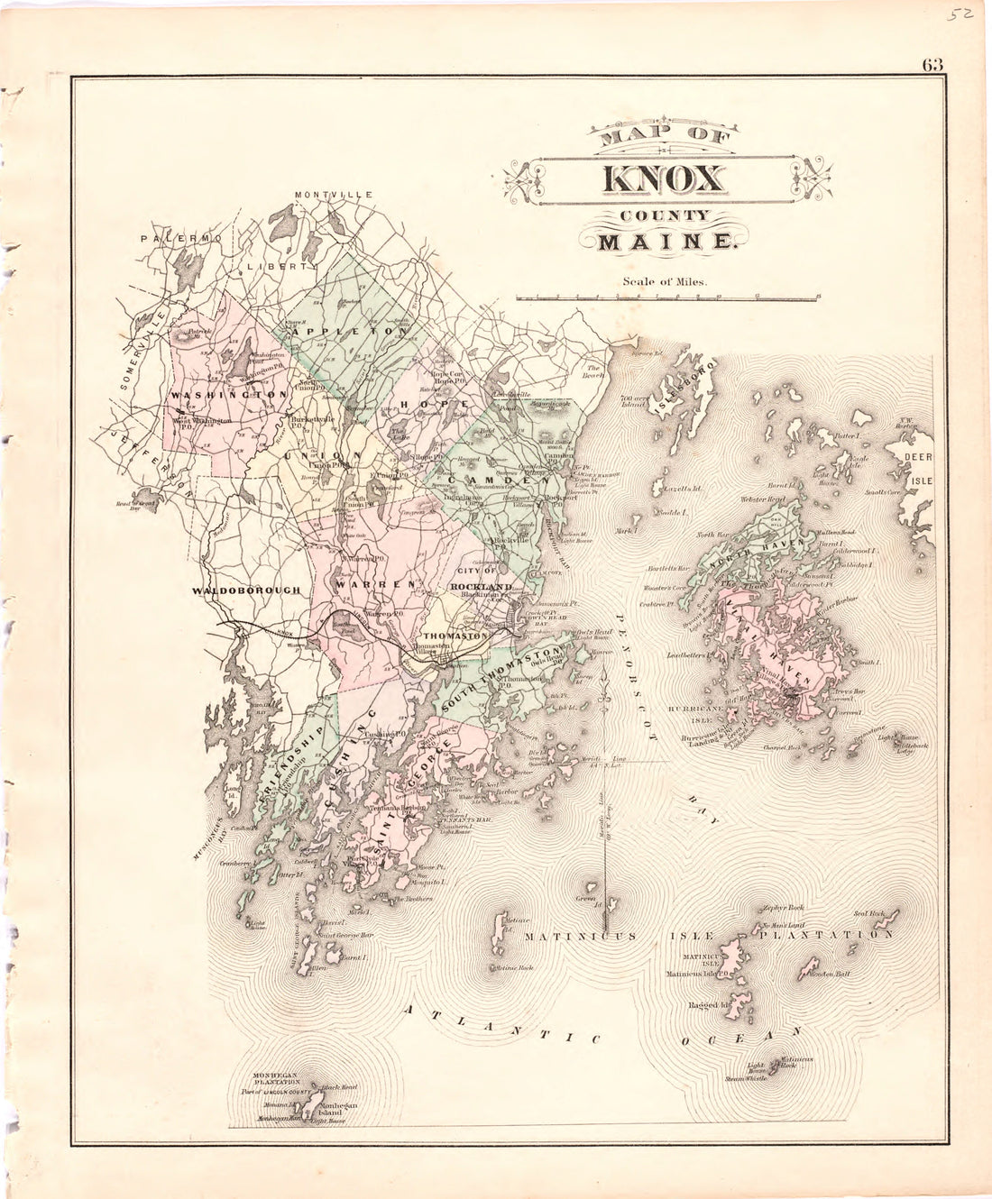 Map of Knox County Maine from Colby's Atlas of Maine, 1887Map of Knox County Maine from Colby's Atlas of Maine, 1887
- Regular price
-
$39.95 $68.95 - Regular price
-
$34.95 - Sale price
-
$39.95 $68.95
-
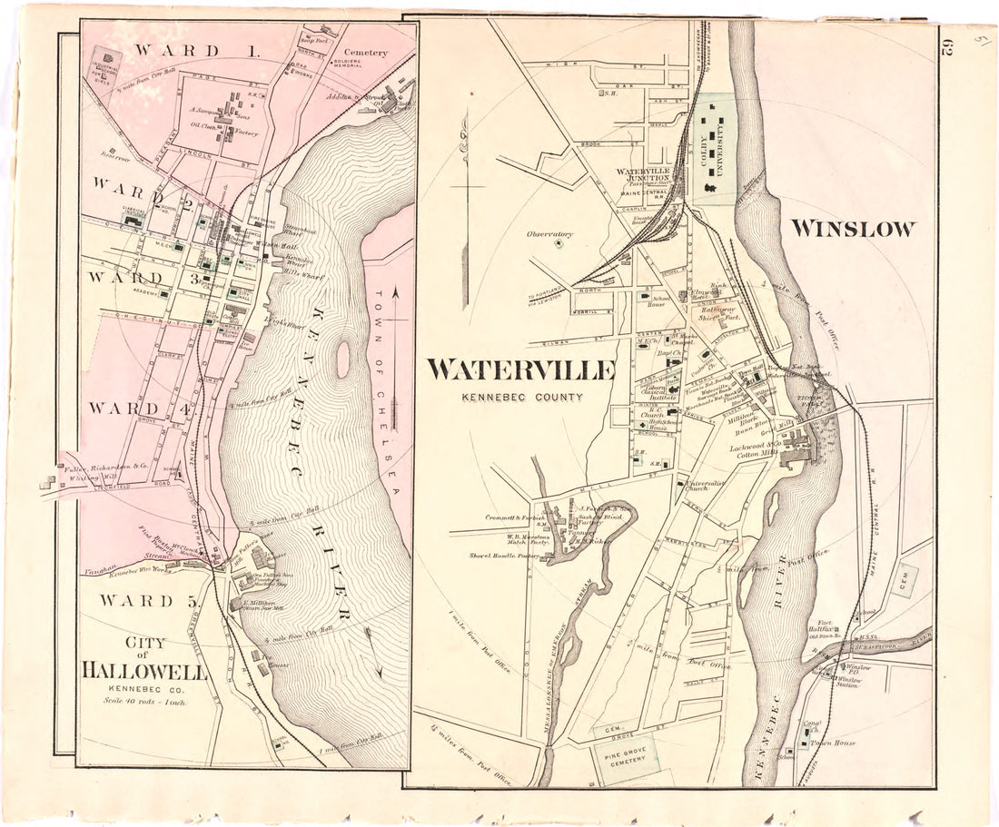 City of Hallowell; Waterville from Colby's Atlas of Maine, 1887City of Hallowell; Waterville from Colby's Atlas of Maine, 1887
- Regular price
-
$39.95 $68.95 - Regular price
-
$34.95 - Sale price
-
$39.95 $68.95
-
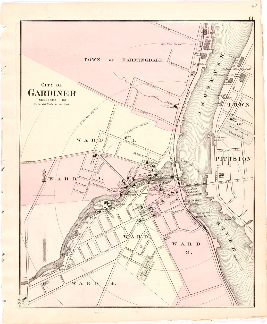 City of Gardiner from Colby's Atlas of Maine, 1887City of Gardiner from Colby's Atlas of Maine, 1887
- Regular price
-
$39.95 $68.95 - Regular price
-
$34.95 - Sale price
-
$39.95 $68.95
-
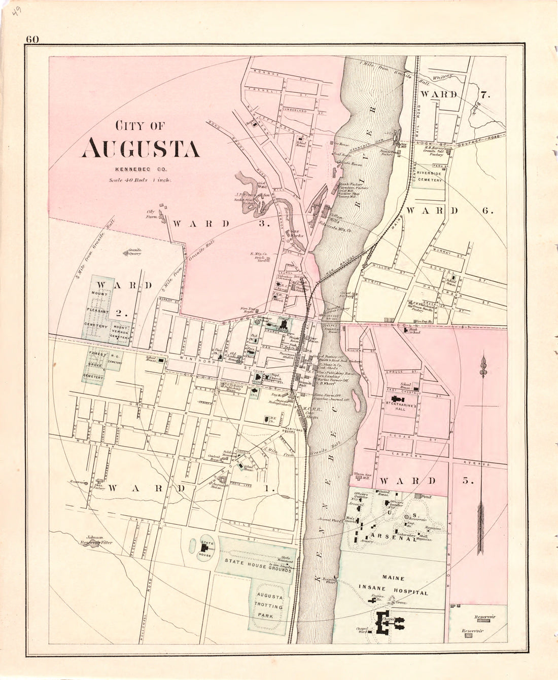 City of Augusta from Colby's Atlas of Maine, 1887City of Augusta from Colby's Atlas of Maine, 1887
- Regular price
-
$39.95 $68.95 - Regular price
-
$34.95 - Sale price
-
$39.95 $68.95
-
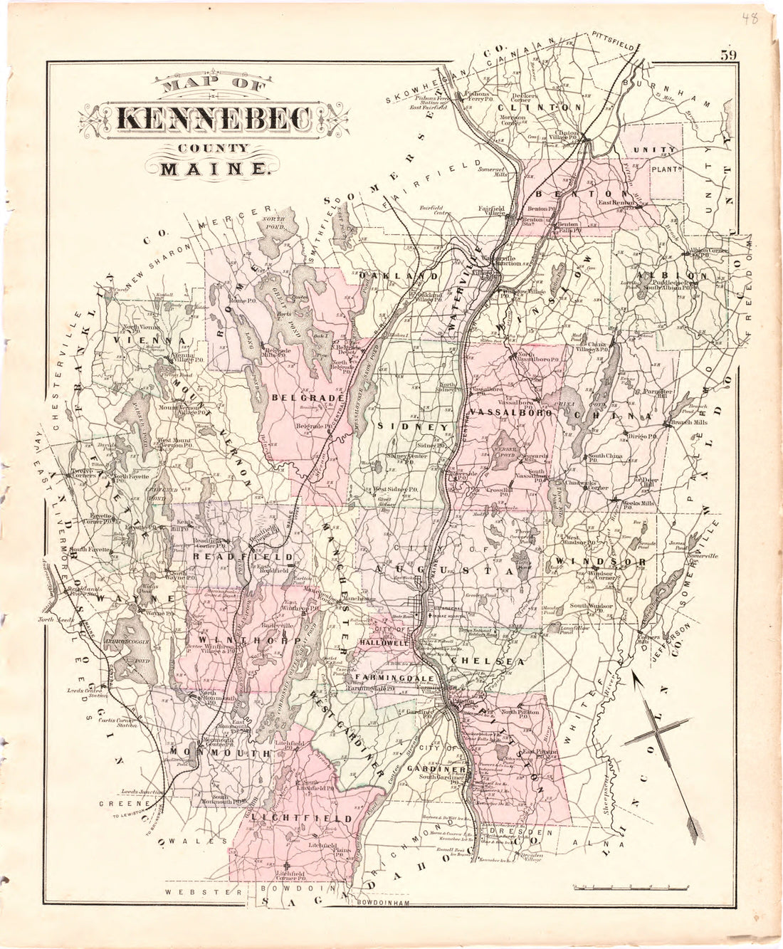 Map of Kennebec County Maine from Colby's Atlas of Maine, 1887Map of Kennebec County Maine from Colby's Atlas of Maine, 1887
- Regular price
-
$39.95 $68.95 - Regular price
-
$34.95 - Sale price
-
$39.95 $68.95
-
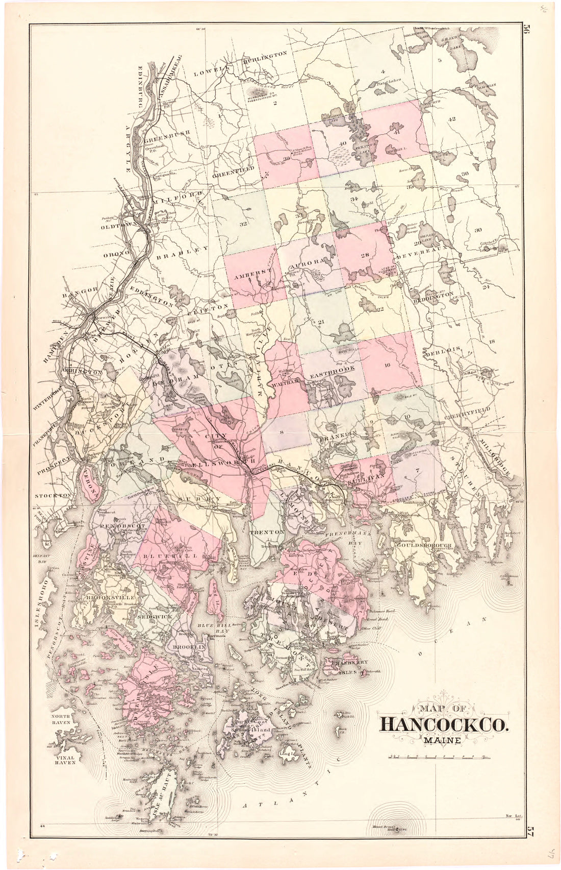 Map of Hancock Co. Maine from Colby's Atlas of Maine, 1887Map of Hancock Co. Maine from Colby's Atlas of Maine, 1887
- Regular price
-
$39.95 $58.95 - Regular price
-
$33.95 - Sale price
-
$39.95 $58.95
-
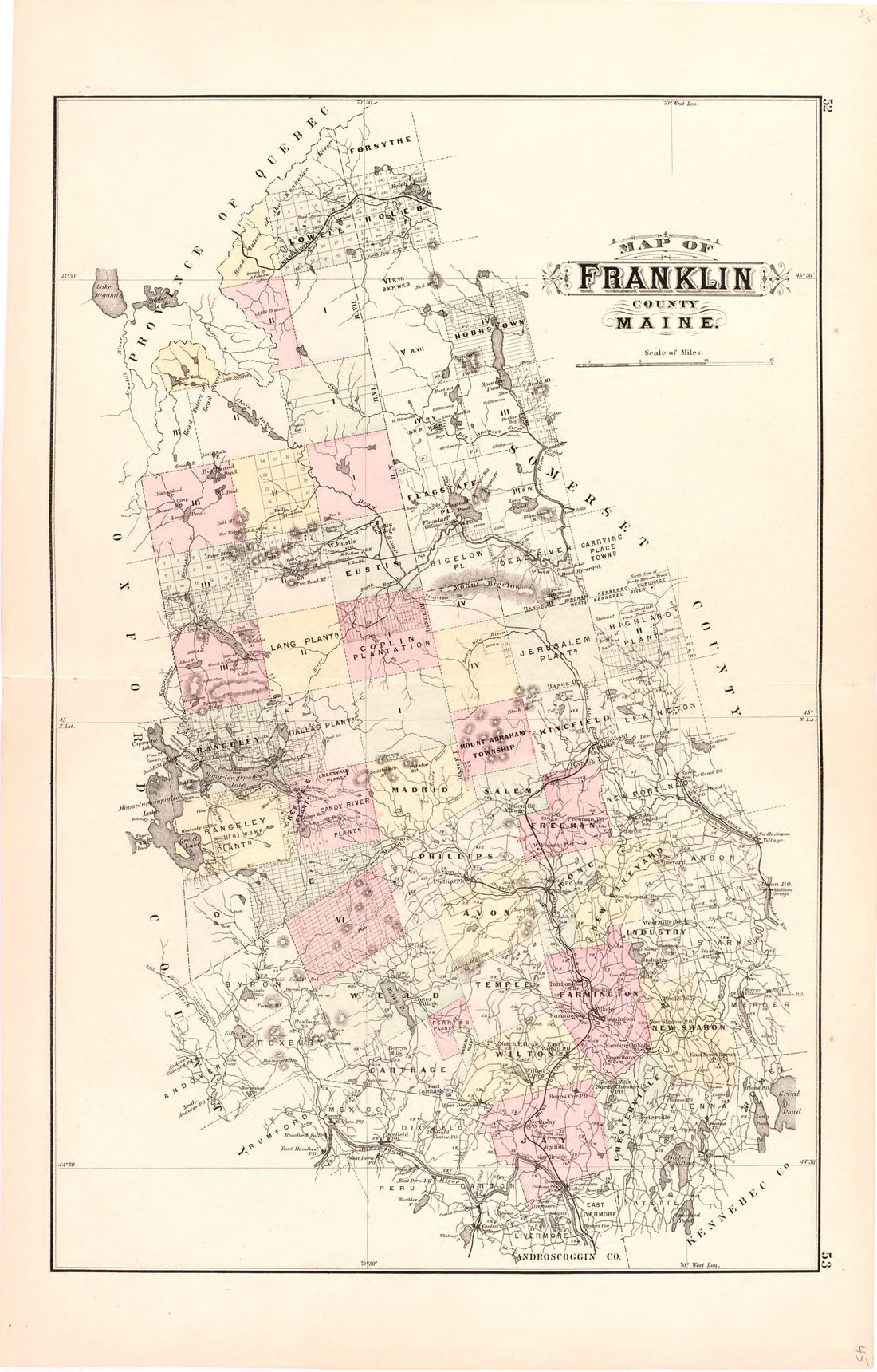 Map of Franklin County Maine from Colby's Atlas of Maine, 1887Map of Franklin County Maine from Colby's Atlas of Maine, 1887
- Regular price
-
$39.95 $58.95 - Regular price
-
$33.95 - Sale price
-
$39.95 $58.95
-
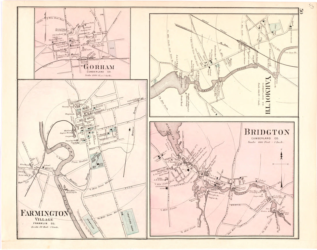 Gorham; Yarmouth; Farmington Village; Bridgton from Colby's Atlas of Maine, 1887Gorham; Yarmouth; Farmington Village; Bridgton from Colby's Atlas of Maine, 1887
- Regular price
-
$39.95 $68.95 - Regular price
-
$34.95 - Sale price
-
$39.95 $68.95
-
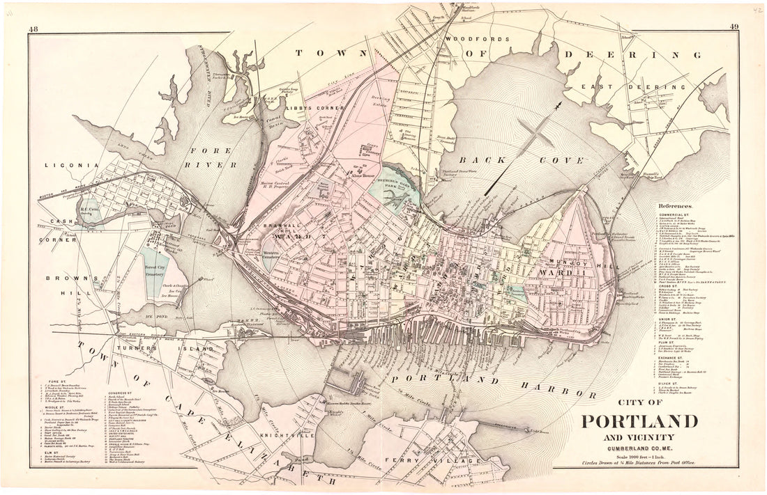 City of Portland and Vicinity Cumberland Co. Me. from Colby's Atlas of Maine, 1887City of Portland and Vicinity Cumberland Co. Me. from Colby's Atlas of Maine, 1887
- Regular price
-
$39.95 $58.95 - Regular price
-
$33.95 - Sale price
-
$39.95 $58.95
-
 Map of Cumberland County Maine from Colby's Atlas of Maine, 1887Map of Cumberland County Maine from Colby's Atlas of Maine, 1887
- Regular price
-
$39.95 $68.95 - Regular price
-
$34.95 - Sale price
-
$39.95 $68.95


