193 products
-
Penobscot River and Bay, With the Operations of the English Fleet, Under Sir George Collyer, Against the Division of Massachusetts Troops Acting Against Fort Castine, August 1779; With Full Soundings Up to the Present Site of Bangor
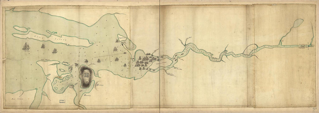 Penobscot River and Bay, With the Operations of the English Fleet, Under Sir George Collyer, Against the Division of Massachusetts Troops Acting Against Fort Castine, August 1779; With Full Soundings Up to the Present Site of Bangor
- Regular price
-
From
$41.95 - Regular price
-
$66.99 - Sale price
-
From
$41.95
-
Map of the River St. John In the Province of Nova Scotia, Exhibiting the Grant to Officers &c. In 1765, With Other Patents
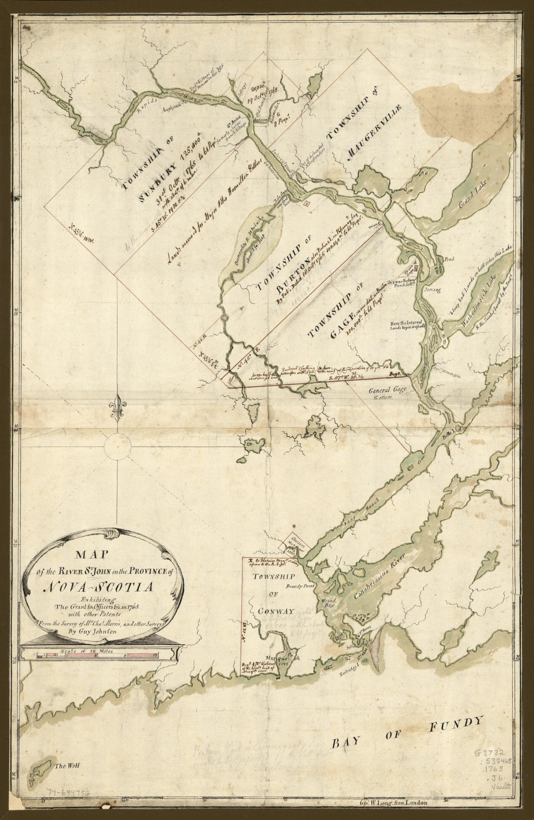 Map of the River St. John In the Province of Nova Scotia, Exhibiting the Grant to Officers &c. In 1765, With Other Patents
- Regular price
-
From
$41.95 - Regular price
-
$66.99 - Sale price
-
From
$41.95
-
Map of Bar Harbor, Maine, 1904
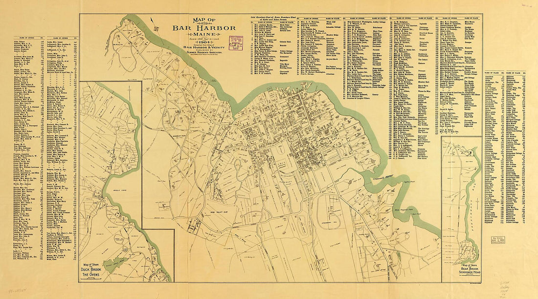 Map of Bar Harbor, Maine, 1904
- Regular price
-
From
$41.95 - Regular price
-
$66.99 - Sale price
-
From
$41.95
-
A Map of the Great River St. John & Waters (the First Ever Published) from the Bay of Fundy, Up to St. Anns Or Frederick's Town; Being Little Known by White People, Until 1783; Settled by the American Loyalists, Then Part of Nova Scotia, Now Called Ne...
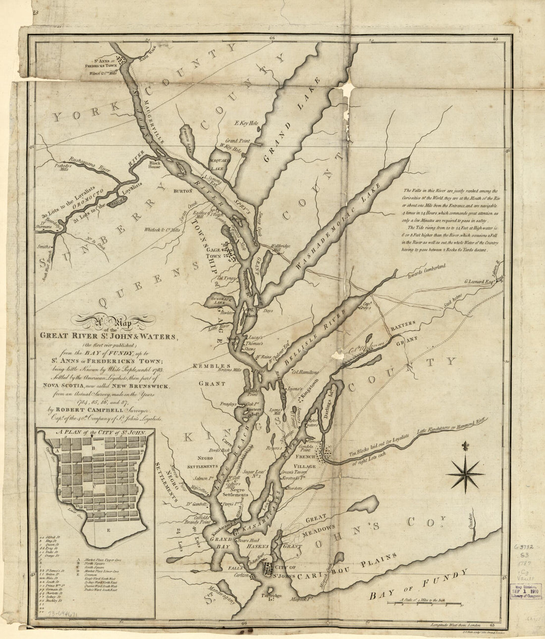 A Map of the Great River St. John & Waters (the First Ever Published) from the Bay of Fundy, Up to St. Anns Or Frederick's Town; Being Little Known by White People, Until 1783; Settled by the American Loyalists, Then Part of Nova Scotia, Now Called Ne...
- Regular price
-
From
$34.95 - Regular price
-
$49.99 - Sale price
-
From
$34.95
-
Sieur De Monts National Monument, Mount Desert Island, Maine 1916
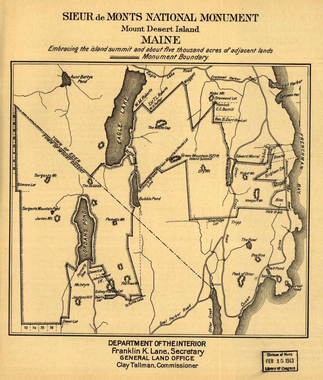 Sieur De Monts National Monument, Mount Desert Island, Maine 1916
- Regular price
-
From
$19.95 - Regular price
-
$29.95 - Sale price
-
From
$19.95
-
Plan and Profile of the Androscoggin & Kennebec Railroad in 1849
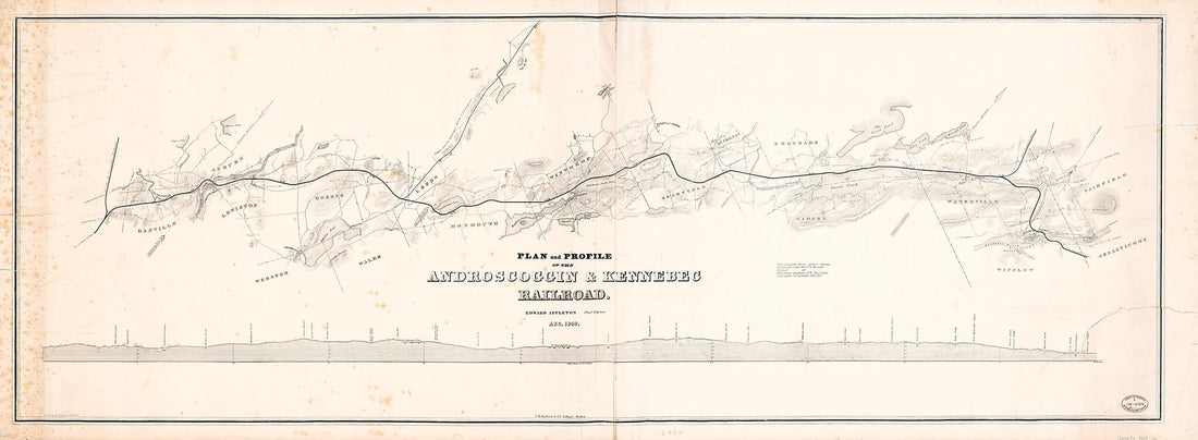 Plan and Profile of the Androscoggin & Kennebec Railroad in 1849
- Regular price
-
From
$41.95 - Regular price
-
$66.99 - Sale price
-
From
$41.95
-
Map of the Timber Lands In Oxford and Franklin Counties, Maine, Coos County, New Hampshire : Showing the Different Townships With Their Allotments, in 1899
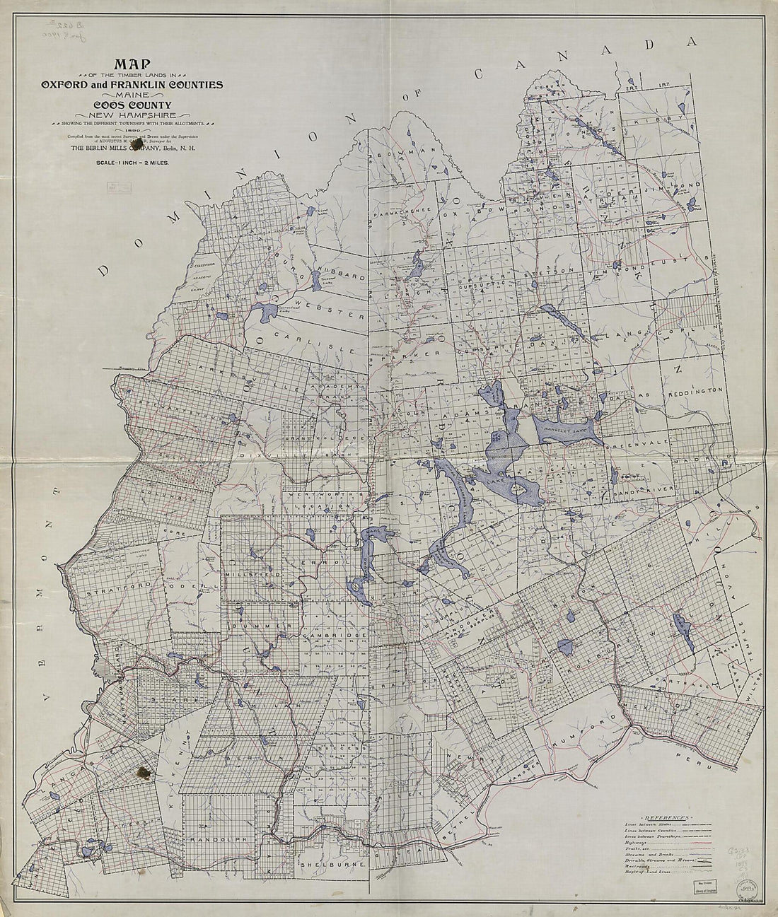 Map of the Timber Lands In Oxford and Franklin Counties, Maine, Coos County, New Hampshire : Showing the Different Townships With Their Allotments, in 1899
- Regular price
-
From
$34.95 - Regular price
-
$49.99 - Sale price
-
From
$34.95
-
Map of the White Mountains of New Hampshire from Walling's Large Map of the State, 1881. (Walling's Map of White Mountains)
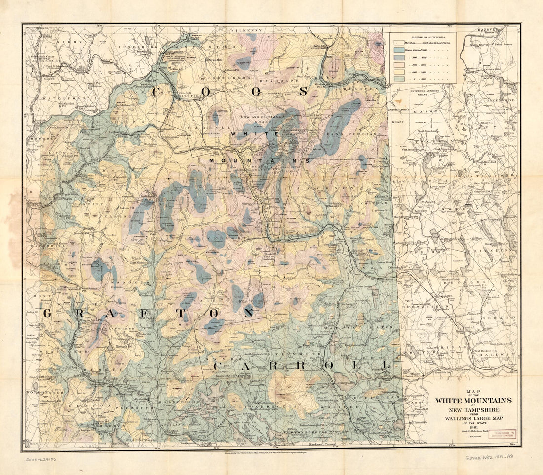 Map of the White Mountains of New Hampshire from Walling's Large Map of the State, 1881. (Walling's Map of White Mountains)
- Regular price
-
From
$34.95 - Regular price
-
$49.99 - Sale price
-
From
$34.95
-
Map of Mount Desert Island, Maine 1917
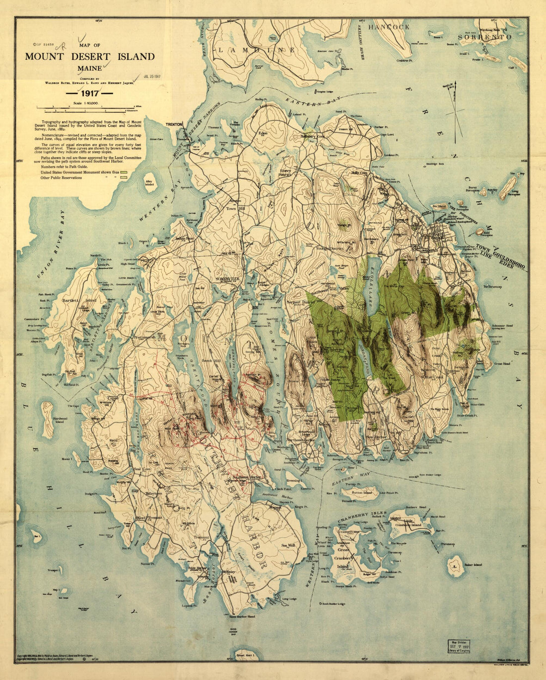 Map of Mount Desert Island, Maine 1917
- Regular price
-
From
$34.95 - Regular price
-
$49.99 - Sale price
-
From
$34.95
-
Plan De La Baie Et Du Havre De Casco Et Des îles Adjacentes 1779
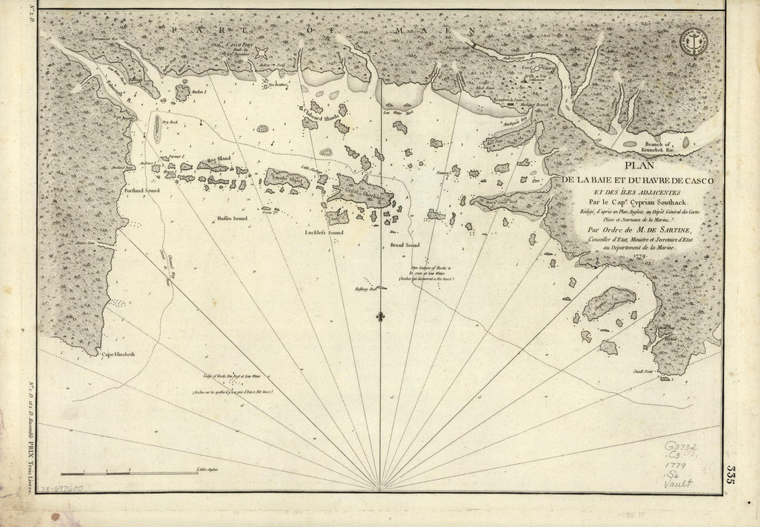 Plan De La Baie Et Du Havre De Casco Et Des îles Adjacentes 1779
- Regular price
-
From
$32.95 - Regular price
-
$51.95 - Sale price
-
From
$32.95


