1264 products
-
 Map of the Village of the Ottawa Savages, at the Erie Strait, 1732. (Plan Du Village Des Sauvages Outaouas, Au Détroit Erié, 1732)Map of the Village of the Ottawa Savages, at the Erie Strait, 1732. (Plan Du Village Des Sauvages Outaouas, Au Détroit Erié, 1732)
- Regular price
-
$39.95 $99.95 - Regular price
-
$34.95 - Sale price
-
$39.95 $99.95
-
 Geographic Map of the Captaincy of Mato Grosso in 1800Geographic Map of the Captaincy of Mato Grosso in 1800
- Regular price
-
$39.95 $83.95 - Regular price
-
$34.95 - Sale price
-
$39.95 $83.95
-
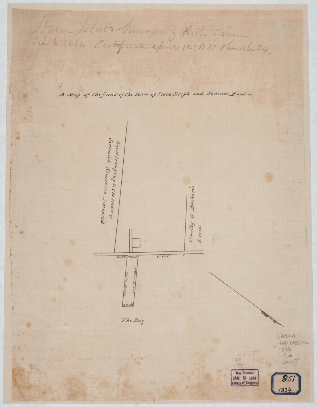 A Map of the Front of the Farm of Isaac Joseph and Samuel Burton : Staten Island in 1860A Map of the Front of the Farm of Isaac Joseph and Samuel Burton : Staten Island in 1860
- Regular price
-
$39.95 $88.95 - Regular price
-
$34.95 - Sale price
-
$39.95 $88.95
-
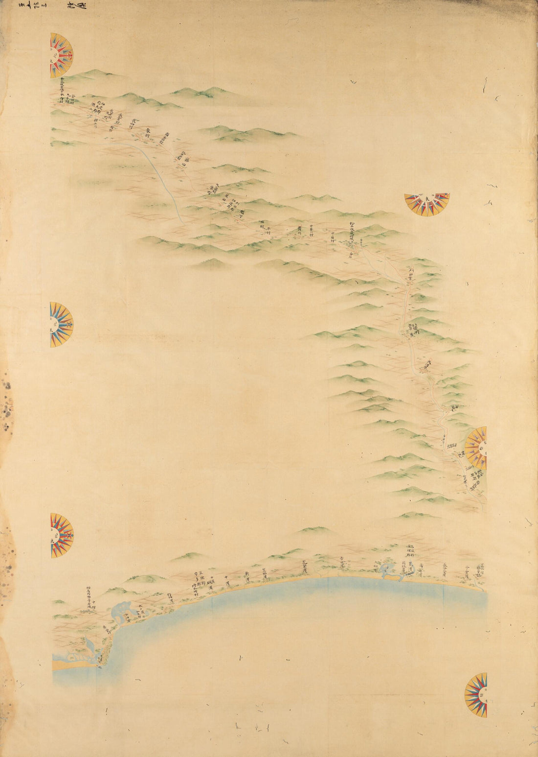 Maps of the Japanese Coastal Areas (Ino Maps) 1873Maps of the Japanese Coastal Areas (Ino Maps) 1873
- Regular price
-
$43.95 $88.95 - Regular price
-
$38.95 - Sale price
-
$43.95 $88.95
-
 Sketches for the Great Map of Bavaria from 1563, Part 4. Topographical Map of Bavaria 48 Degrees 15 Minutes to 48 Degrees 18 Minutes North Latitude. (Vorzeichnungen Für Die Grosse Karte Bayerns Von 1563, Teil 4: Topographische Karte Von Bayern 48° 1...Sketches for the Great Map of Bavaria from 1563, Part 4. Topographical Map of Bavaria 48 Degrees 15 Minutes to 48 Degrees 18 Minutes North Latitude. (Vorzeichnungen Für Die Grosse Karte Bayerns Von 1563, Teil 4: Topographische Karte Von Bayern 48° 1...
- Regular price
-
$46.95 $99.95 - Regular price
-
$41.95 - Sale price
-
$46.95 $99.95
-
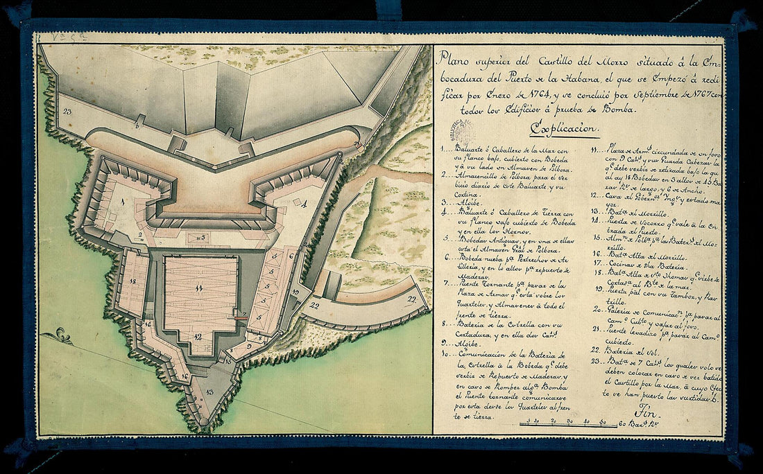 Upper View of the Castillo Del Morro Situated at the Mouth of the Bay of Havana. (Plano Superior Del Castillo Del Morro Situado En La Embocadora Del Puerto De La Habana, El Que Se Empezó a Redificar Por Enero De 1764, Y Se Concluió Por Septiembre De...Upper View of the Castillo Del Morro Situated at the Mouth of the Bay of Havana. (Plano Superior Del Castillo Del Morro Situado En La Embocadora Del Puerto De La Habana, El Que Se Empezó a Redificar Por Enero De 1764, Y Se Concluió Por Septiembre De...
- Regular price
-
$39.95 $99.95 - Regular price
-
$34.95 - Sale price
-
$39.95 $99.95
-
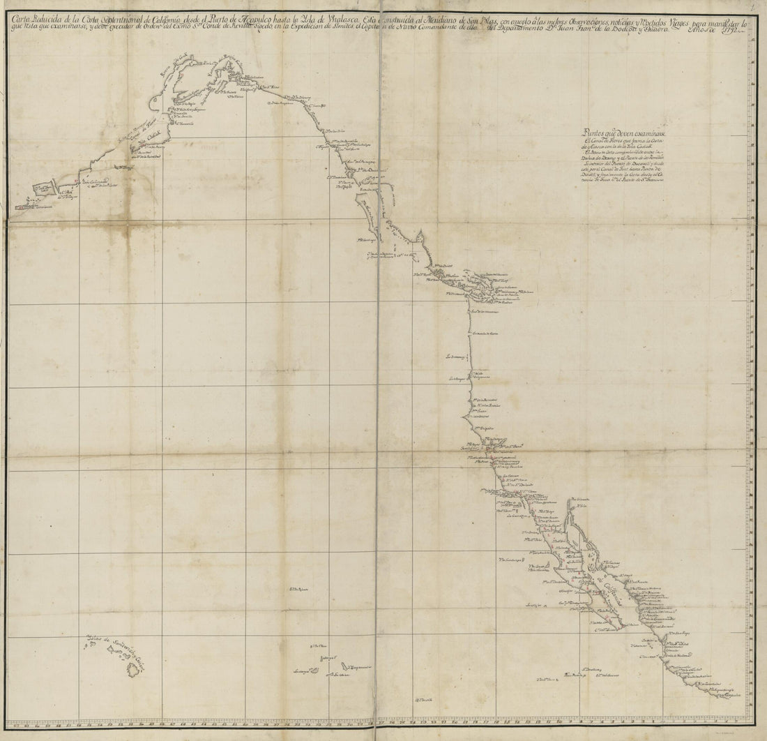 Cartas Esfericas Y Planos De Los Puertos Situados Sobre Las Costas Septentrionales De Las Californias è Yslas Adyacentes, Descubiertos Por Los Españoles 1799Cartas Esfericas Y Planos De Los Puertos Situados Sobre Las Costas Septentrionales De Las Californias è Yslas Adyacentes, Descubiertos Por Los Españoles 1799
- Regular price
-
$43.95 $143.95 - Regular price
-
$38.95 - Sale price
-
$43.95 $143.95
-
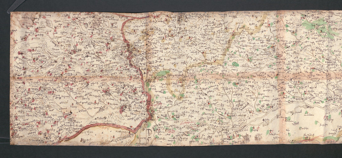
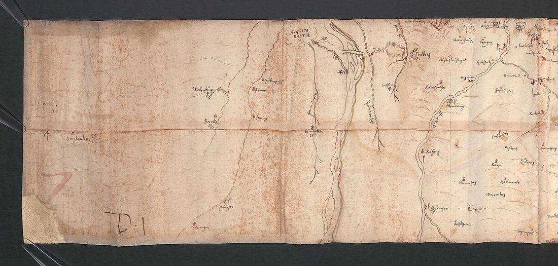 Sketches for the Great Map of Bavaria from 1563, Part 3. Topographical Map of Bavaria 48 Degrees 10 Minutes to 48 Degrees 14 Minutes North Latitude. (Vorzeichnungen Für Die Grosse Karte Bayerns Von 1563, Teil 3: Topographische Karte Von Bayern 48° 1...Sketches for the Great Map of Bavaria from 1563, Part 3. Topographical Map of Bavaria 48 Degrees 10 Minutes to 48 Degrees 14 Minutes North Latitude. (Vorzeichnungen Für Die Grosse Karte Bayerns Von 1563, Teil 3: Topographische Karte Von Bayern 48° 1...
- Regular price
-
$46.95 $174.95 - Regular price
-
$41.95 - Sale price
-
$46.95 $174.95
-
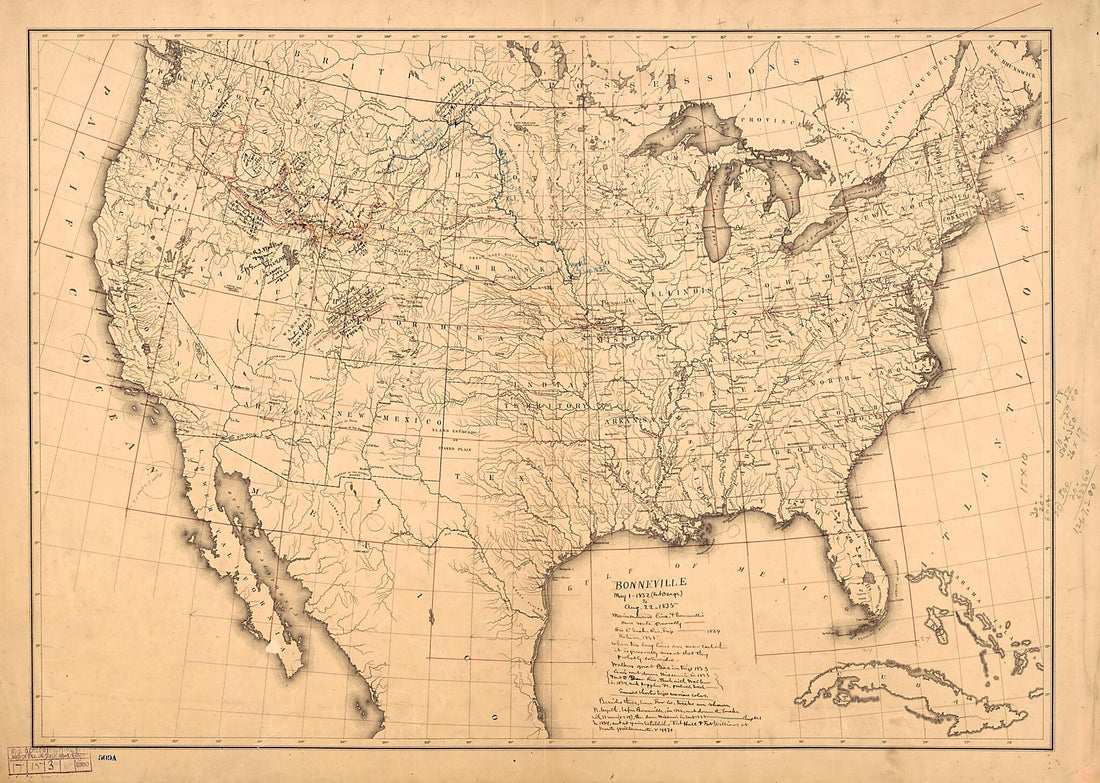 Bonneville May 1 1832 (Fort Osage) to Aug. 22 1835 1868Bonneville May 1 1832 (Fort Osage) to Aug. 22 1835 1868
- Regular price
-
$43.95 $147.95 - Regular price
-
$38.95 - Sale price
-
$43.95 $147.95
-
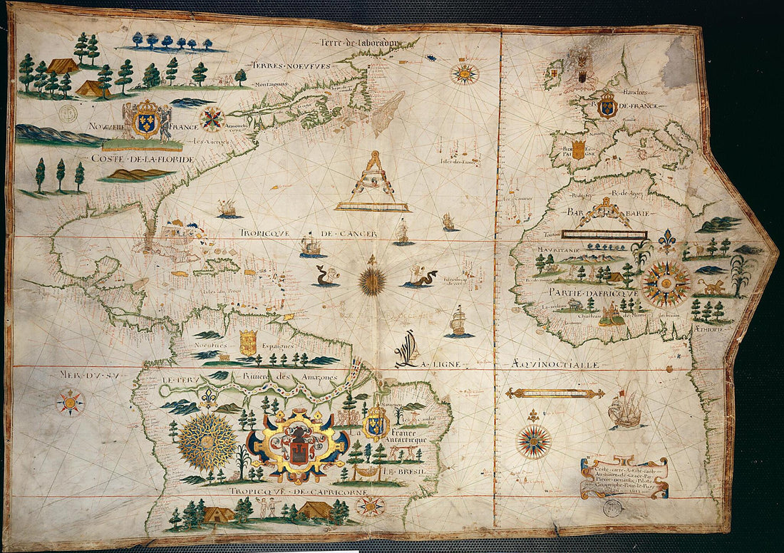 Map of the Atlantic Ocean, 1613Map of the Atlantic Ocean, 1613
- Regular price
-
$46.95 $111.95 - Regular price
-
$41.95 - Sale price
-
$46.95 $111.95
-
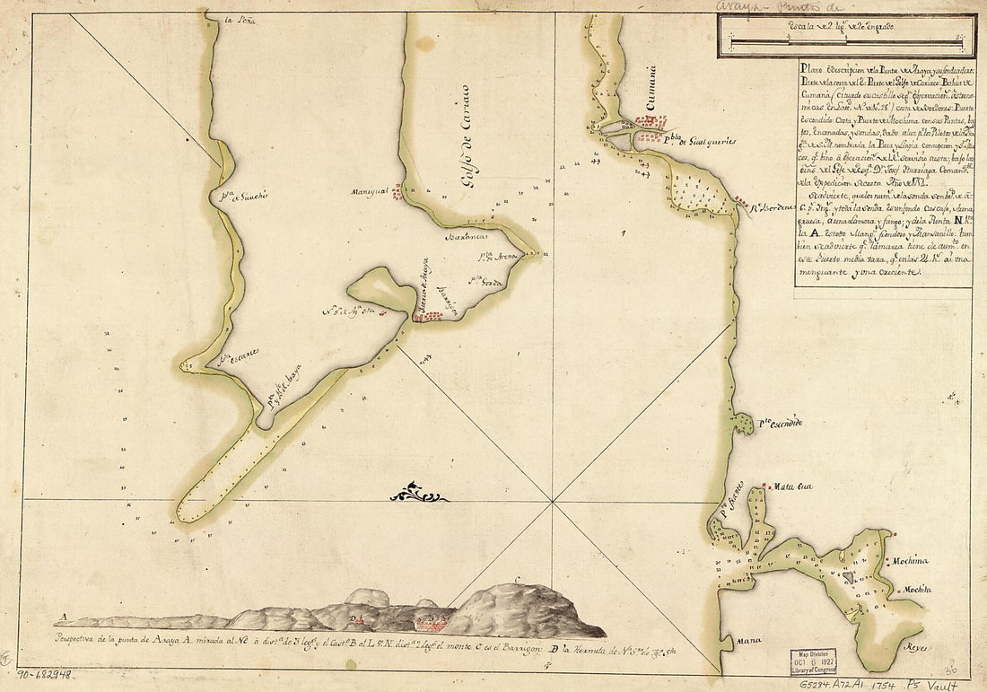 Plano O Descripción De La Punta De Araya Y Su Fondeadero, Parte De La Costa Del E. Parte Del Golfo De Cariaco, Bahía De Cumana (cituado Su Castillo Segn. Observación Astronómicas En Lattd. N. De 10⁰28ʹ), Costa De Bordones, Puerto Escondido, Cos...Plano O Descripción De La Punta De Araya Y Su Fondeadero, Parte De La Costa Del E. Parte Del Golfo De Cariaco, Bahía De Cumana (cituado Su Castillo Segn. Observación Astronómicas En Lattd. N. De 10⁰28ʹ), Costa De Bordones, Puerto Escondido, Cos...
- Regular price
-
$43.95 $99.95 - Regular price
-
$38.95 - Sale price
-
$43.95 $99.95
-
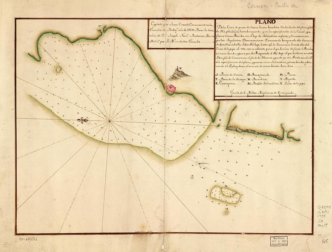 Plano De La Costa De Punta De Canoa Hasta Bocachica Con La Sonda Del Plazer Qe. Sale De Dha. Pta. De Cana., Hasta Bocagrande Y Con La Espezificación De La Canal, Que Forma Tierra Bomba Con El Bayo De Salmedina Su Fondo Y Conozimiento Por Las Siguient...Plano De La Costa De Punta De Canoa Hasta Bocachica Con La Sonda Del Plazer Qe. Sale De Dha. Pta. De Cana., Hasta Bocagrande Y Con La Espezificación De La Canal, Que Forma Tierra Bomba Con El Bayo De Salmedina Su Fondo Y Conozimiento Por Las Siguient...
- Regular price
-
$39.95 $88.95 - Regular price
-
$34.95 - Sale price
-
$39.95 $88.95


