1264 products
-
 Descripcion De Las Costas, Islas Placeres, I Bajos Delas, Indias Occidentales 1765Descripcion De Las Costas, Islas Placeres, I Bajos Delas, Indias Occidentales 1765
- Regular price
-
$46.95 $99.95 - Regular price
-
$41.95 - Sale price
-
$46.95 $99.95
-
 Map of the Maneuver Ground of the Camp of Instruction, Gettysburg, Pennsylvania : July 1910Map of the Maneuver Ground of the Camp of Instruction, Gettysburg, Pennsylvania : July 1910
- Regular price
-
$43.95 $237.95 - Regular price
-
$32.95 - Sale price
-
$43.95 $237.95
-
 Plano De La Costa Y Sonda De Campeche 1807Plano De La Costa Y Sonda De Campeche 1807
- Regular price
-
$46.95 $199.95 - Regular price
-
$41.95 - Sale price
-
$46.95 $199.95
-
 Para Fondear En Este Pte. De La Ysla De Juan Fernandes Y Que Dar Libre, Vas Amanzar Del N, De Que Se Corten 1700Para Fondear En Este Pte. De La Ysla De Juan Fernandes Y Que Dar Libre, Vas Amanzar Del N, De Que Se Corten 1700
- Regular price
-
$39.95 $99.95 - Regular price
-
$29.95 - Sale price
-
$39.95 $99.95
-
 Carta Que Contiene El Estrecho De Banca, La Ysla D. Este Nombre, Una Parte De La De Sumatra Con Sus Yslas Y Vajos Adjacentes Nuevamente Correjida Y Emendada Por Los Pilotos Mas Practicos De Esta Navegación Segun Varias Observaciones 1700Carta Que Contiene El Estrecho De Banca, La Ysla D. Este Nombre, Una Parte De La De Sumatra Con Sus Yslas Y Vajos Adjacentes Nuevamente Correjida Y Emendada Por Los Pilotos Mas Practicos De Esta Navegación Segun Varias Observaciones 1700
- Regular price
-
$43.95 $146.95 - Regular price
-
$32.95 - Sale price
-
$43.95 $146.95
-
 Hall and Elvans' Subdivision, Meridian Hill 1867Hall and Elvans' Subdivision, Meridian Hill 1867
- Regular price
-
$43.95 $88.95 - Regular price
-
$32.95 - Sale price
-
$43.95 $88.95
-
 Draft of Roads In New Jersey 1777Draft of Roads In New Jersey 1777
- Regular price
-
$39.95 $86.95 - Regular price
-
$34.95 - Sale price
-
$39.95 $86.95
-
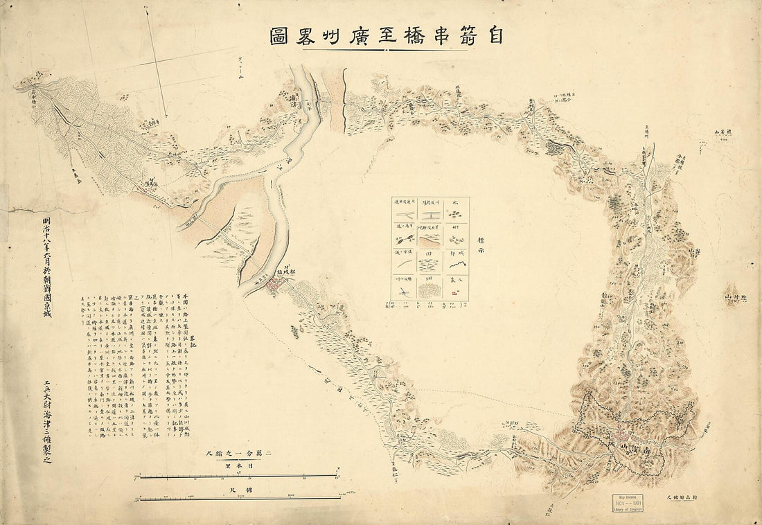 Senkankyō Yori Kōshū Ni Itaru Ryakuzu (自箭串橋至廣州畧圖 /, Senkankyō Yori Kōshū Ni Itaru Rojōzu) 1885Senkankyō Yori Kōshū Ni Itaru Ryakuzu (自箭串橋至廣州畧圖 /, Senkankyō Yori Kōshū Ni Itaru Rojōzu) 1885
- Regular price
-
$46.95 $142.95 - Regular price
-
$41.95 - Sale price
-
$46.95 $142.95
-
 1350 : Manuscript Chart of the Mediterranean and Black Seas On Vellum 13201350 : Manuscript Chart of the Mediterranean and Black Seas On Vellum 1320
- Regular price
-
$39.95 $88.95 - Regular price
-
$29.95 - Sale price
-
$39.95 $88.95
-
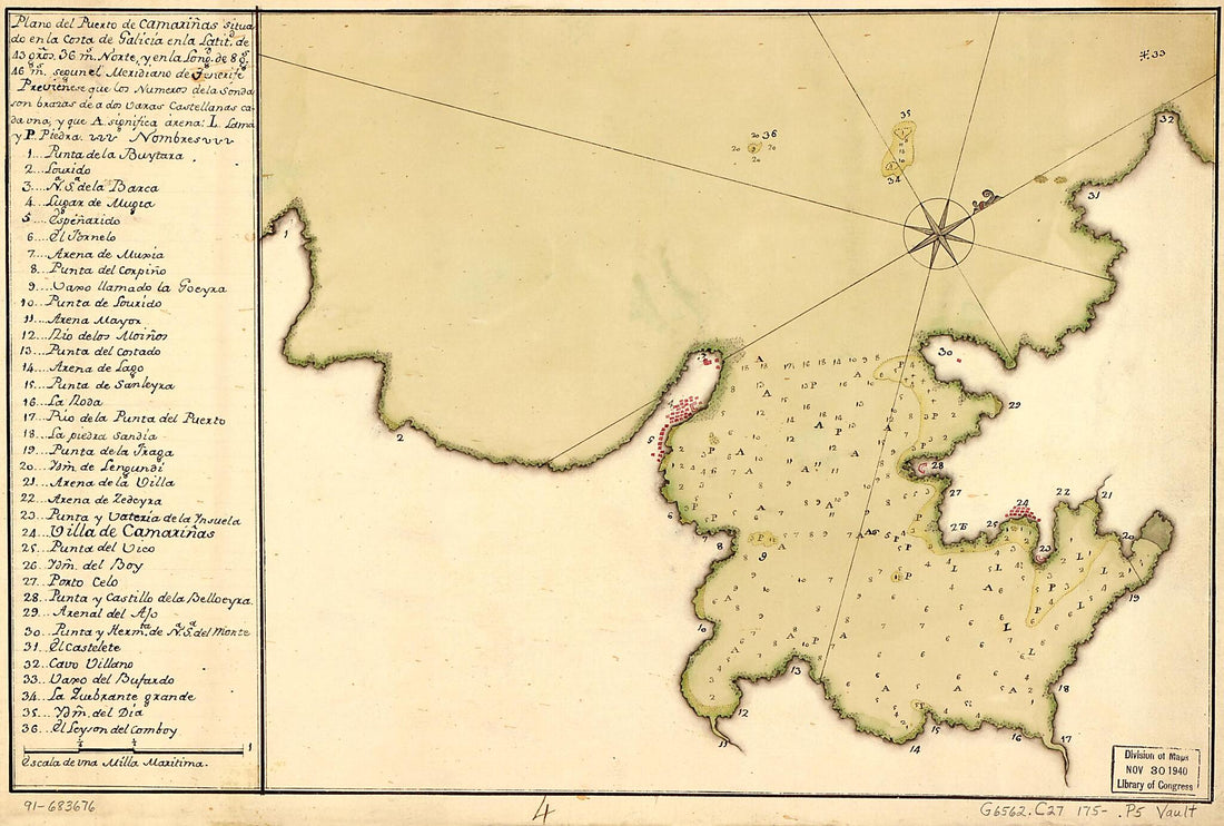 Plano Del Puerto De Camariñas Situado En La Costa De Galicia En La Latitd. De 43 Gros. 36 Ms. Norte Y En La Longd. De 8 Gs. 46 Ms. Segun El Meridiano De Tenerife 1750Plano Del Puerto De Camariñas Situado En La Costa De Galicia En La Latitd. De 43 Gros. 36 Ms. Norte Y En La Longd. De 8 Gs. 46 Ms. Segun El Meridiano De Tenerife 1750
- Regular price
-
$39.95 $99.95 - Regular price
-
$29.95 - Sale price
-
$39.95 $99.95
-
 Plano De La Costa Osidental Del Río Del Sinú Hasta Ysla Fuerte Y Punta De Piedras Con Sus Plaseres Y Zondas Y Prespectiba Del Navio Onesto Perdido Y El Navio La Potensia Y Balandra Al Anclaecho 1790Plano De La Costa Osidental Del Río Del Sinú Hasta Ysla Fuerte Y Punta De Piedras Con Sus Plaseres Y Zondas Y Prespectiba Del Navio Onesto Perdido Y El Navio La Potensia Y Balandra Al Anclaecho 1790
- Regular price
-
$39.95 $88.95 - Regular price
-
$29.95 - Sale price
-
$39.95 $88.95
-
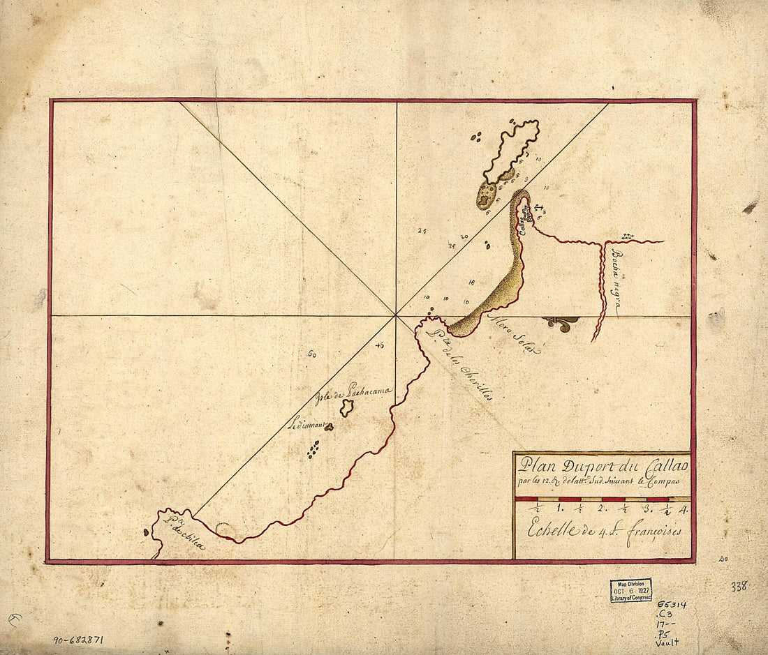 Plan Du Port Du Callao Par Les 12. D. De Latt. Sud Suiuant Le Compas 1700Plan Du Port Du Callao Par Les 12. D. De Latt. Sud Suiuant Le Compas 1700
- Regular price
-
$39.95 $83.95 - Regular price
-
$31.95 - Sale price
-
$39.95 $83.95


