

15 products
-
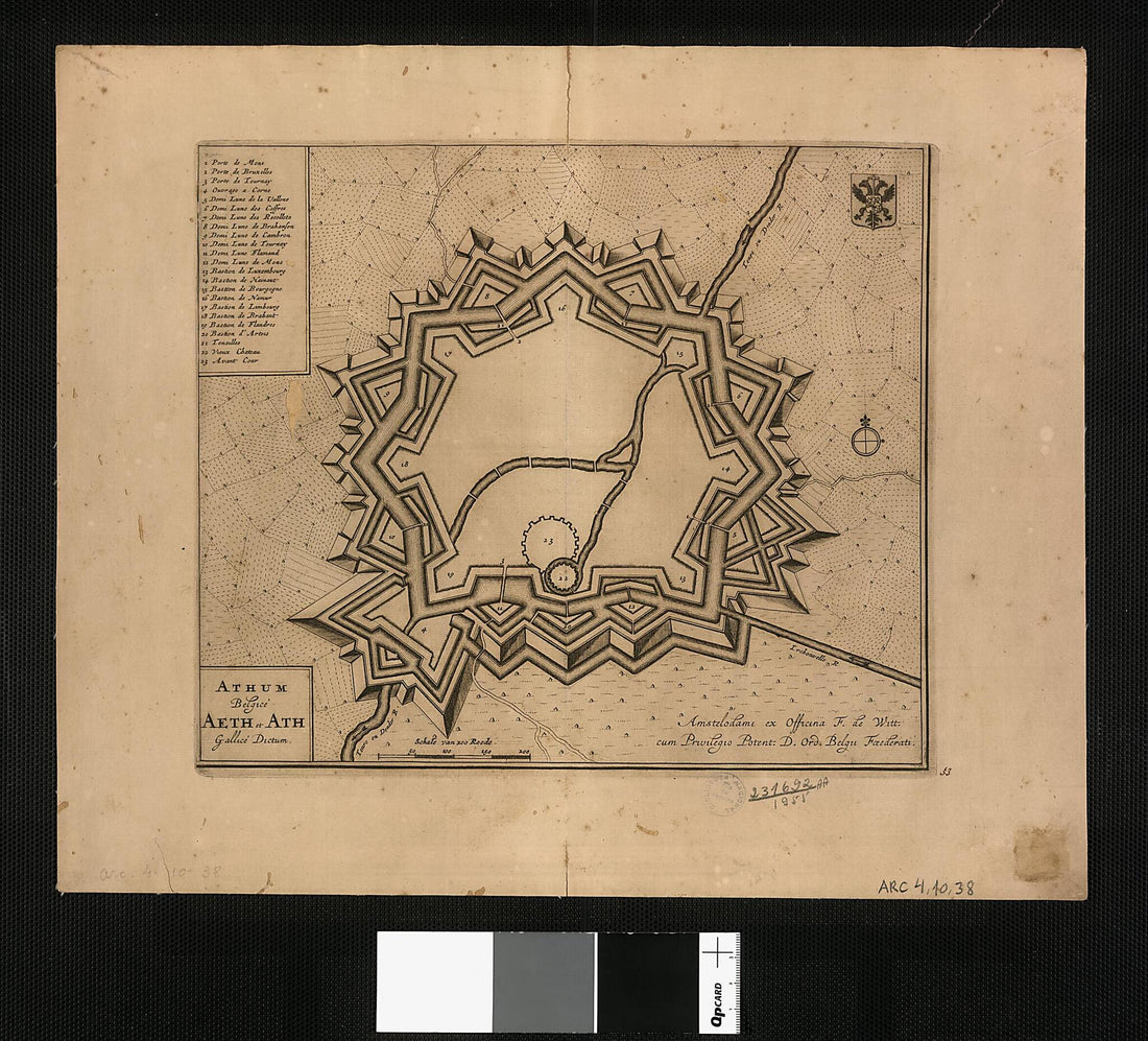 Belgian Ath, Called Aeth and Ath In French / F. De Witt. (Athum Belgicé Aeth Et Ath Gallicé Dictum / F. De Witt) 1694Belgian Ath, Called Aeth and Ath In French / F. De Witt. (Athum Belgicé Aeth Et Ath Gallicé Dictum / F. De Witt) 1694
- Regular price
-
$54.95 $204.95 - Regular price
-
$38.95 - Sale price
-
$54.95 $204.95
-
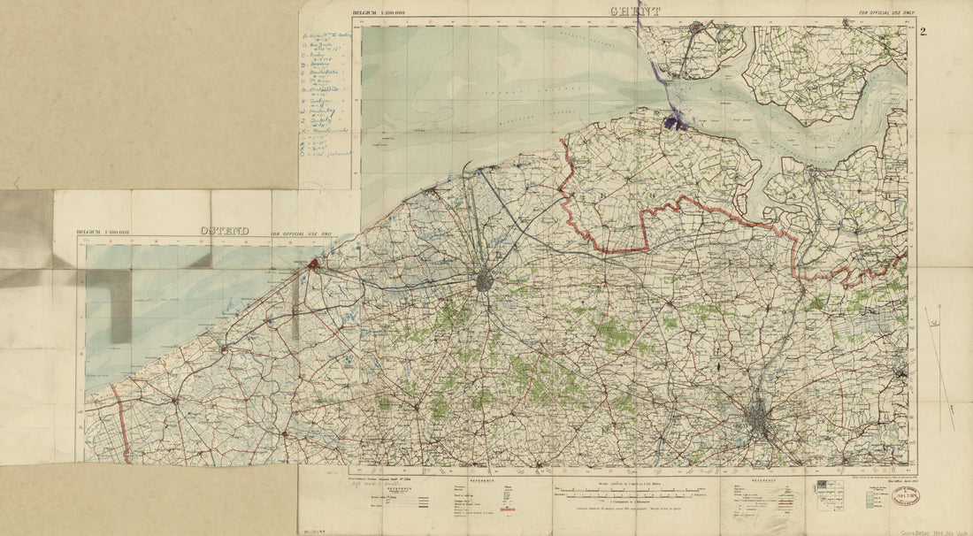 Map of World War I Battle Positions In the Bruges Region, Belgium 1914Map of World War I Battle Positions In the Bruges Region, Belgium 1914
- Regular price
-
$58.95 $133.95 - Regular price
-
$41.95 - Sale price
-
$58.95 $133.95
-
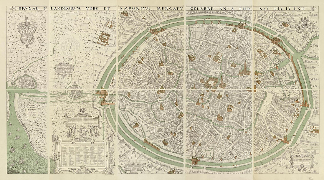 Brugae Flandorum Urbs Et Emporium Mercatu Celebre an a Chr. Nat. (Brvgae Flandorvm Vrbs Et Emporivm Mercatv Celebre an a Chr. Nat) 1900Brugae Flandorum Urbs Et Emporium Mercatu Celebre an a Chr. Nat. (Brvgae Flandorvm Vrbs Et Emporivm Mercatv Celebre an a Chr. Nat) 1900
- Regular price
-
$58.95 $259.95 - Regular price
-
$41.95 - Sale price
-
$58.95 $259.95
