304 products
-
Plan of the Lines Constructing at Halifax for the Defense of His Majesty's Naval Yard 1758
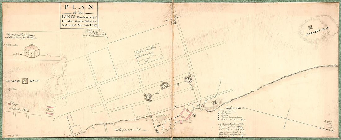 Plan of the Lines Constructing at Halifax for the Defense of His Majesty's Naval Yard 1758
- Regular price
-
From
$41.95 - Regular price
-
$66.99 - Sale price
-
From
$41.95
-
A Map of the Island of St. John In the Gulf of St. Laurence Divided Into Counties & Parishes and the Lots As Granted by Government. to Which Are Added the Soundings Round the Coast & Harbours 1776
![This old map of A Map of the Island of St. John In the Gulf of St. Laurence Divided Into Counties & Parishes and the Lots As Granted by Government. to Which Are Added the Soundings Round the Coast & Harbours from 1776 was created by Thomas] [Jefferys, Sa](//relicmaps.com/cdn/shop/products/73696665_49038ae9-5580-4b15-b154-c11cf5ef406a.jpg?v=1762971074&width=1100) A Map of the Island of St. John In the Gulf of St. Laurence Divided Into Counties & Parishes and the Lots As Granted by Government. to Which Are Added the Soundings Round the Coast & Harbours 1776
A Map of the Island of St. John In the Gulf of St. Laurence Divided Into Counties & Parishes and the Lots As Granted by Government. to Which Are Added the Soundings Round the Coast & Harbours 1776- Regular price
-
From
$41.95 - Regular price
-
$66.99 - Sale price
-
From
$41.95
-
Map of Eastern Canada 1565
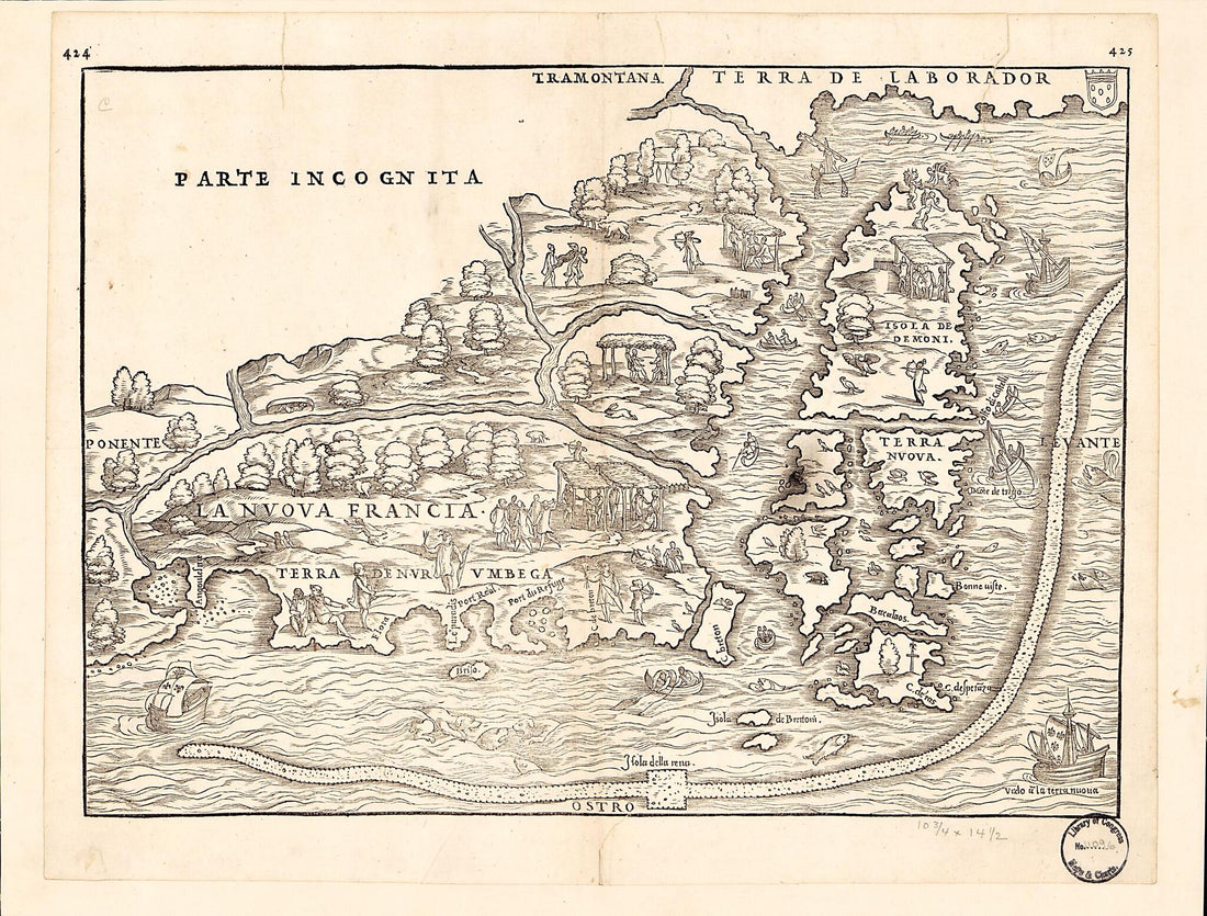 Map of Eastern Canada 1565
- Regular price
-
From
$23.95 - Regular price
-
$37.95 - Sale price
-
From
$23.95
-
Baye De Chaleur, Dans Le Golfe St. Laurent, 1778
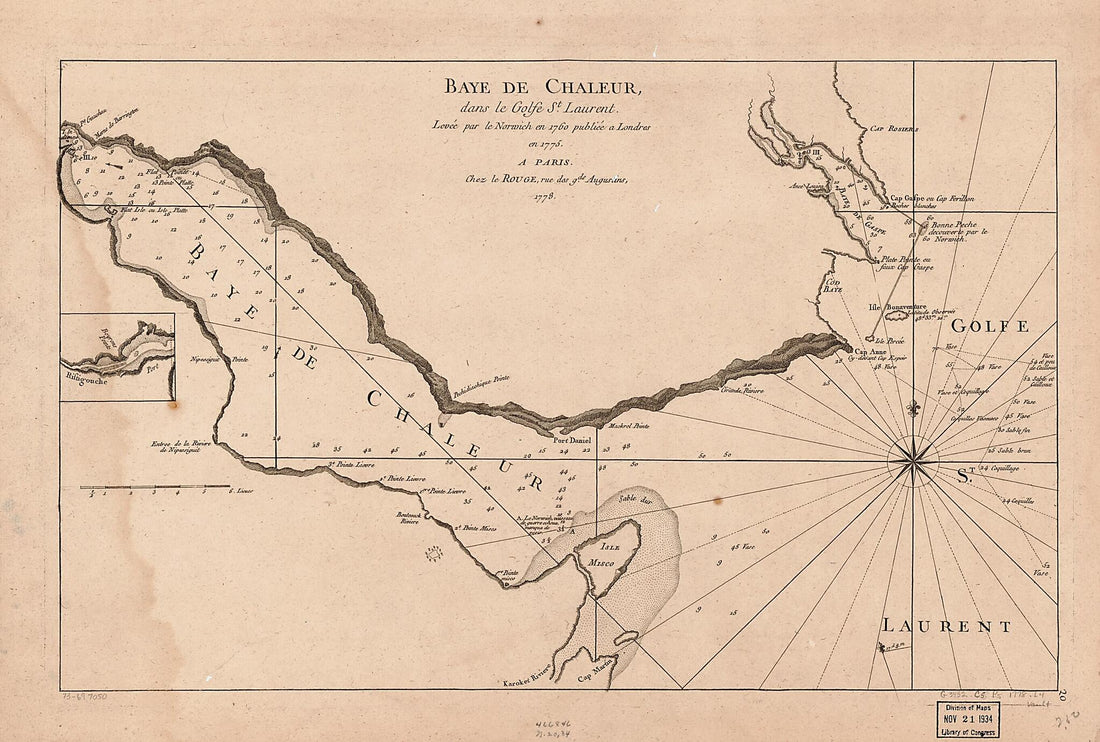 Baye De Chaleur, Dans Le Golfe St. Laurent, 1778
- Regular price
-
From
$30.95 - Regular price
-
$47.95 - Sale price
-
From
$30.95
-
Plan of the Route from St. Francis to Connecticut River 1774
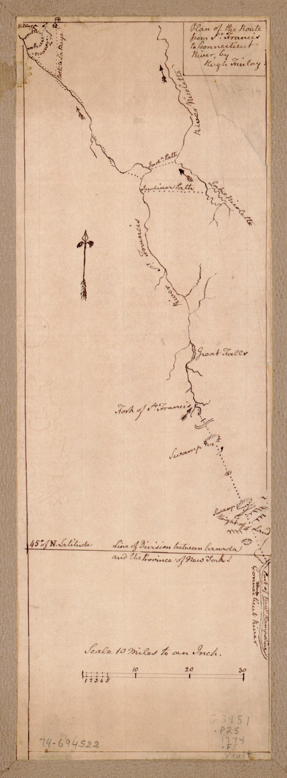 Plan of the Route from St. Francis to Connecticut River 1774
- Regular price
-
From
$19.95 - Regular price
-
$29.95 - Sale price
-
From
$19.95
-
Plan, Lake Champlain from Fort St. John's to Ticonderoga, With the Soundings, Rocks, Shoals, and Sands, Surveyed In the Years 1778, 1779
 Plan, Lake Champlain from Fort St. John's to Ticonderoga, With the Soundings, Rocks, Shoals, and Sands, Surveyed In the Years 1778, 1779
- Regular price
-
From
$41.95 - Regular price
-
$66.99 - Sale price
-
From
$41.95
-
Baye Ste. Anne Ou Le Port Dauphin Dans L'Isle Royale 1764
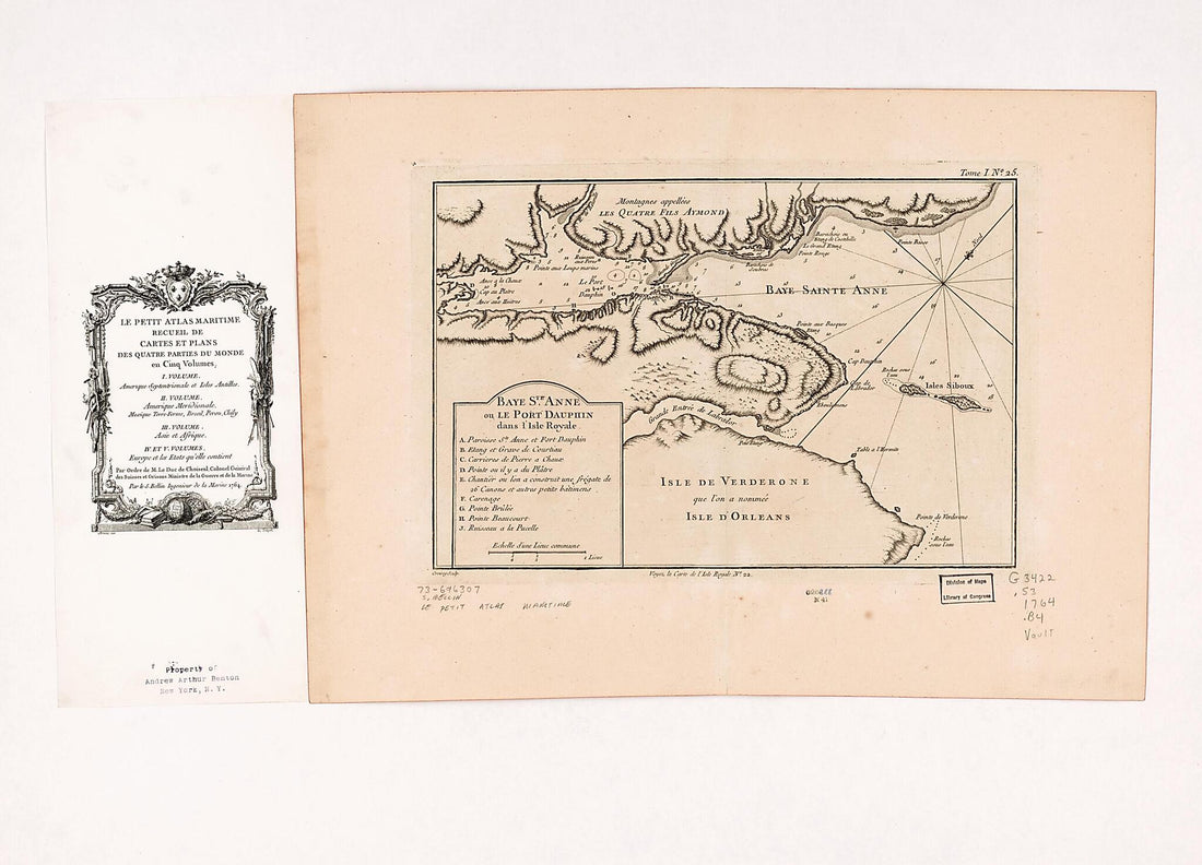 Baye Ste. Anne Ou Le Port Dauphin Dans L'Isle Royale 1764
- Regular price
-
From
$32.95 - Regular price
-
$51.99 - Sale price
-
From
$32.95
-
Halifax Dockyard With Proposed Improvements 1700
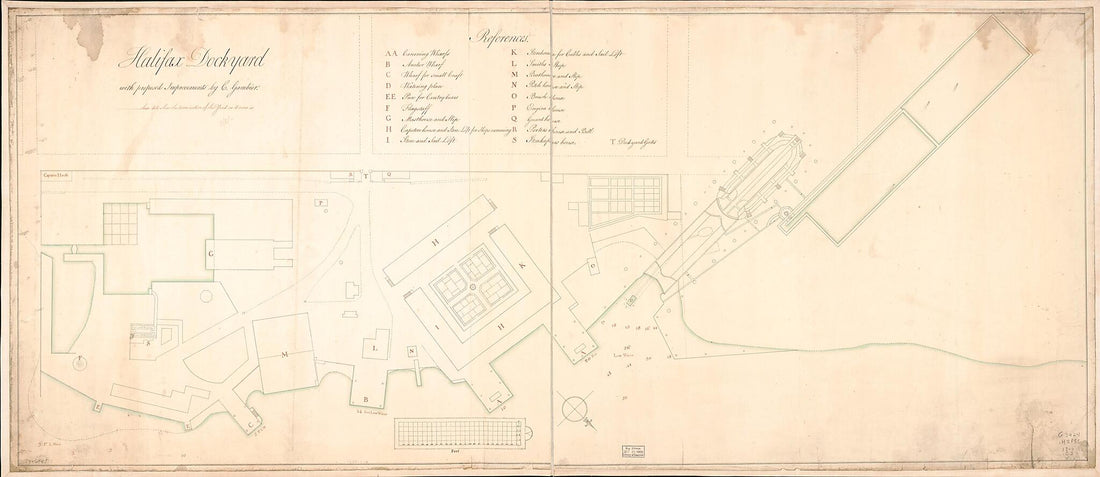 Halifax Dockyard With Proposed Improvements 1700
- Regular price
-
From
$41.95 - Regular price
-
$66.99 - Sale price
-
From
$41.95
-
An Actual Survey of the Sea Coast from New York to the I. Cape Briton, With Tables of the Direct and Thwart Courses & Distances from Place to Place 1775
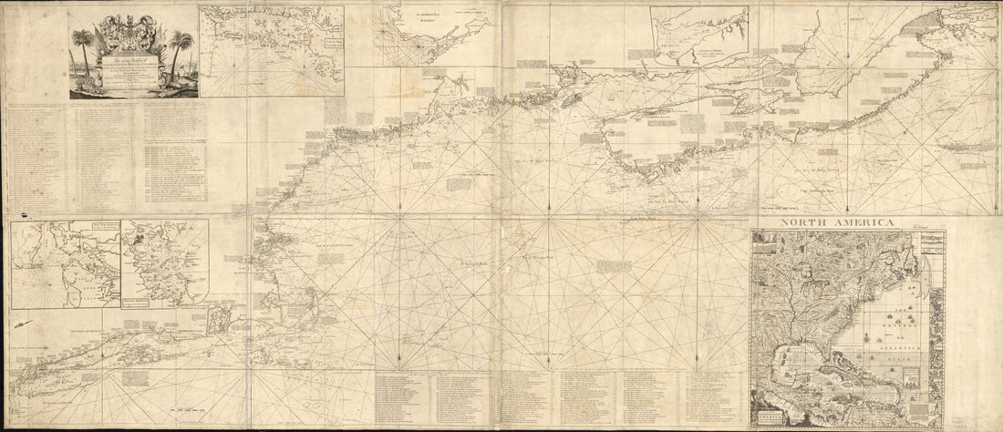 An Actual Survey of the Sea Coast from New York to the I. Cape Briton, With Tables of the Direct and Thwart Courses & Distances from Place to Place 1775
- Regular price
-
From
$41.95 - Regular price
-
$66.99 - Sale price
-
From
$41.95
-
A Draught of the Harbour of Halifax, Sambro Islands, Shoals, Ledges of Rocks, and Soundings, Also the Rivers Shubenauda & Cobequid Bay 1761
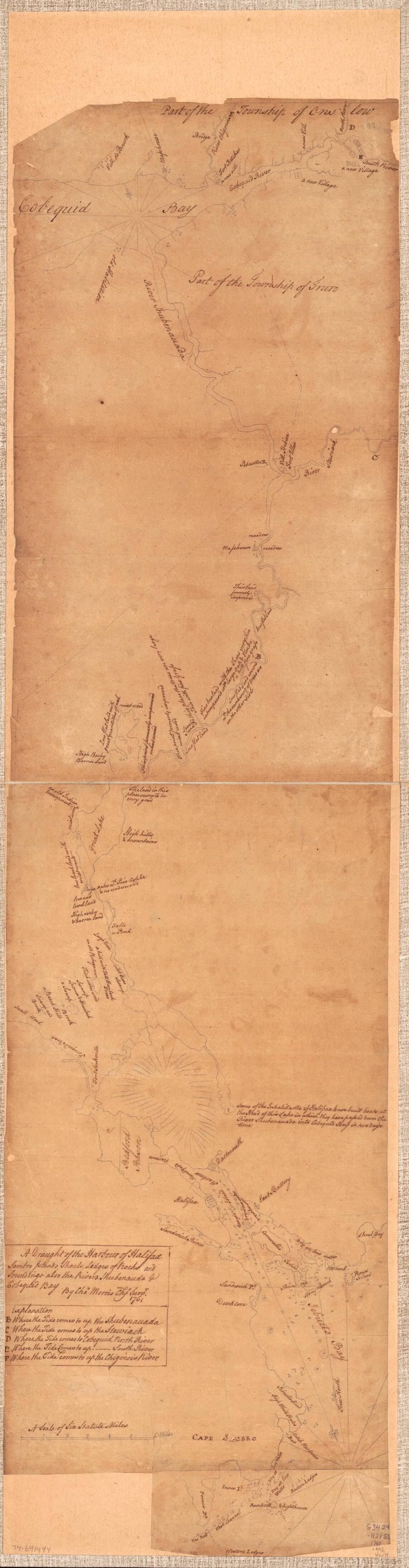 A Draught of the Harbour of Halifax, Sambro Islands, Shoals, Ledges of Rocks, and Soundings, Also the Rivers Shubenauda & Cobequid Bay 1761
- Regular price
-
From
$41.95 - Regular price
-
$66.99 - Sale price
-
From
$41.95
-
City of Montreal. (Montreal) 1863
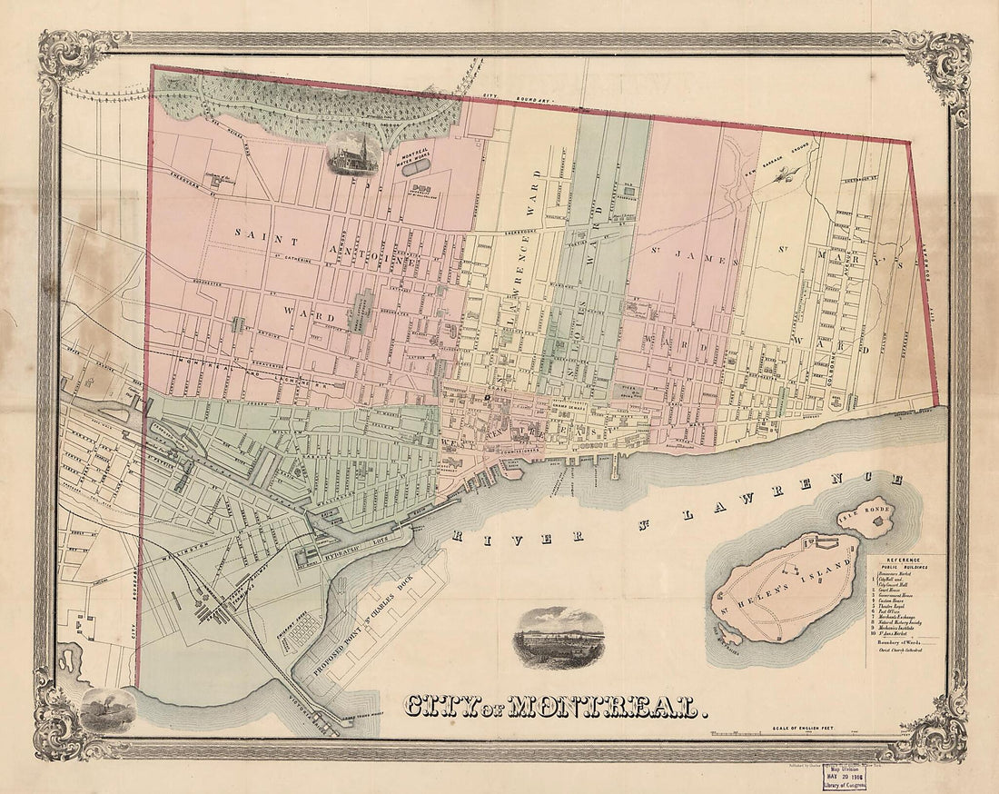 City of Montreal. (Montreal) 1863
- Regular price
-
From
$34.95 - Regular price
-
$49.99 - Sale price
-
From
$34.95
-
New Railroad Map of the Middle States Including New York, New Jersey, Pennsylvania, Delaware, Maryland, Ohio and Canada; Drawn, Engraved & Published by G. Woolworth Colton 1865
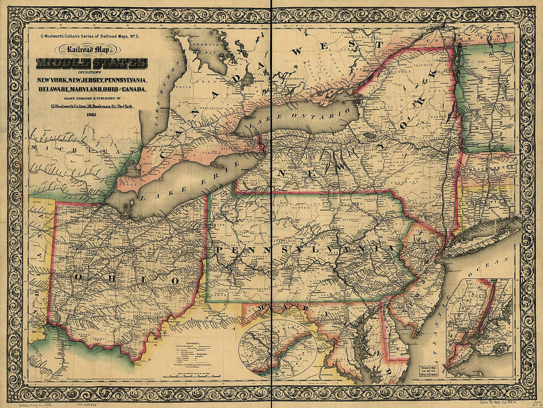 New Railroad Map of the Middle States Including New York, New Jersey, Pennsylvania, Delaware, Maryland, Ohio and Canada; Drawn, Engraved & Published by G. Woolworth Colton 1865
- Regular price
-
From
$32.95 - Regular price
-
$51.99 - Sale price
-
From
$32.95

![This old map of A Map of the Island of St. John In the Gulf of St. Laurence Divided Into Counties & Parishes and the Lots As Granted by Government. to Which Are Added the Soundings Round the Coast & Harbours from 1776 was created by Thomas] [Jefferys, Sa](http://relicmaps.com/cdn/shop/products/73696665_49038ae9-5580-4b15-b154-c11cf5ef406a.jpg?v=1762971074&width=1100)


