304 products
-
A Plan of the Coast of Gabarus Bay from the West End of Kennington Cove to White Point Shewing the Several Batteries and Retrenchments Made by the French to Oppose the Landing of His Britanick Majesty's Troops 1758
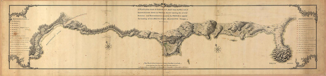 A Plan of the Coast of Gabarus Bay from the West End of Kennington Cove to White Point Shewing the Several Batteries and Retrenchments Made by the French to Oppose the Landing of His Britanick Majesty's Troops 1758
- Regular price
-
From
$41.95 - Regular price
-
$66.99 - Sale price
-
From
$41.95
-
Sketch Map of Portion of the Province of Ontario and State of New York Indicating Termini and Possible Routes of Proposed Water Power Canals of Companies Incorporated to Take Water from Lake Erie and Niagara River 1906
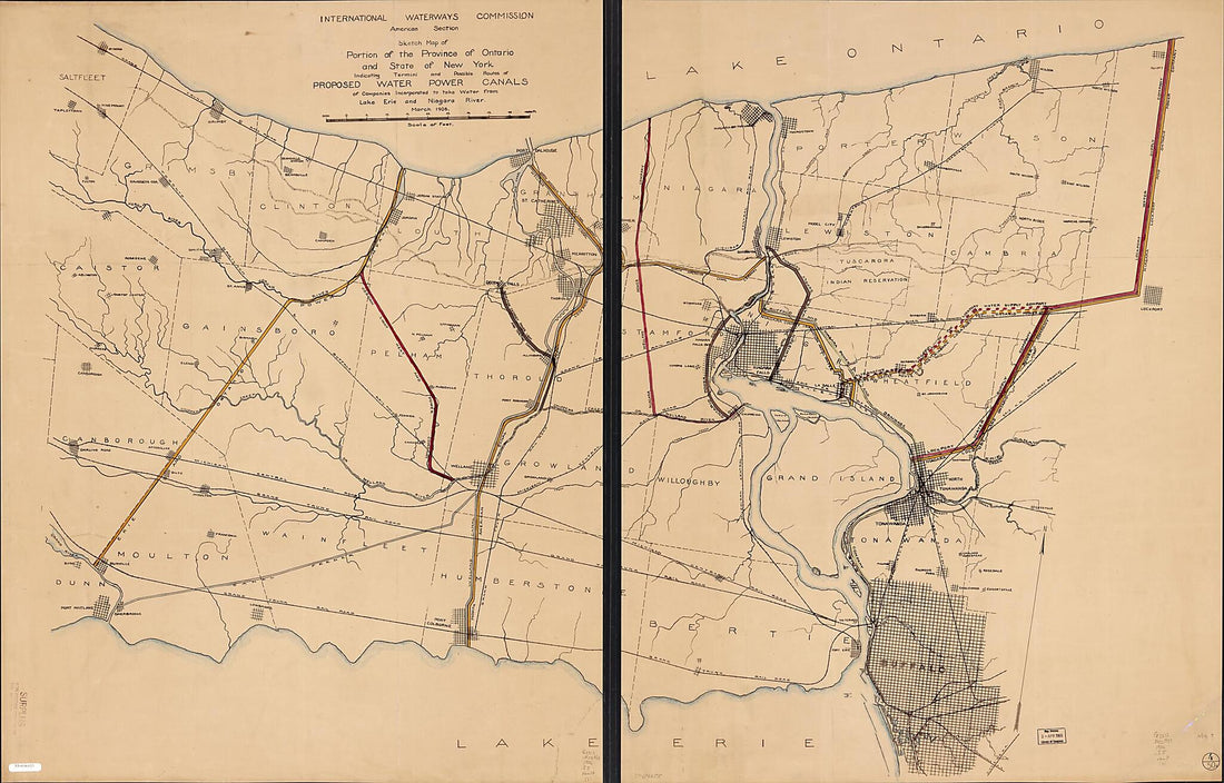 Sketch Map of Portion of the Province of Ontario and State of New York Indicating Termini and Possible Routes of Proposed Water Power Canals of Companies Incorporated to Take Water from Lake Erie and Niagara River 1906
- Regular price
-
From
$41.95 - Regular price
-
$66.99 - Sale price
-
From
$41.95
-
York and Quebec. In the 45th Degree of North Latitude. Survey'd In the Year 1771 & 1772
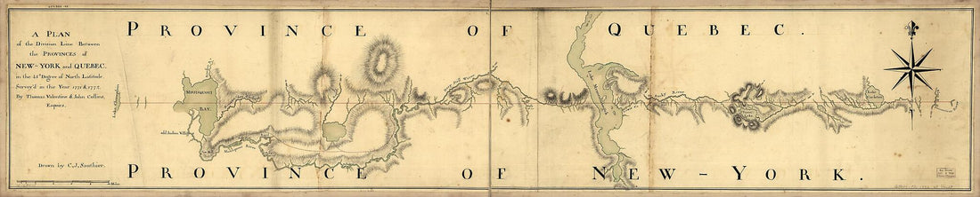 York and Quebec. In the 45th Degree of North Latitude. Survey'd In the Year 1771 & 1772
- Regular price
-
From
$41.95 - Regular price
-
$66.99 - Sale price
-
From
$41.95
-
To His Excellency Thos. Jefferson, Esqr., President of the Congress, This Chart of the United States of America : Including Halifax, Havannah Havana, New Providence, and All the Northern Parts of the West Indies 1805
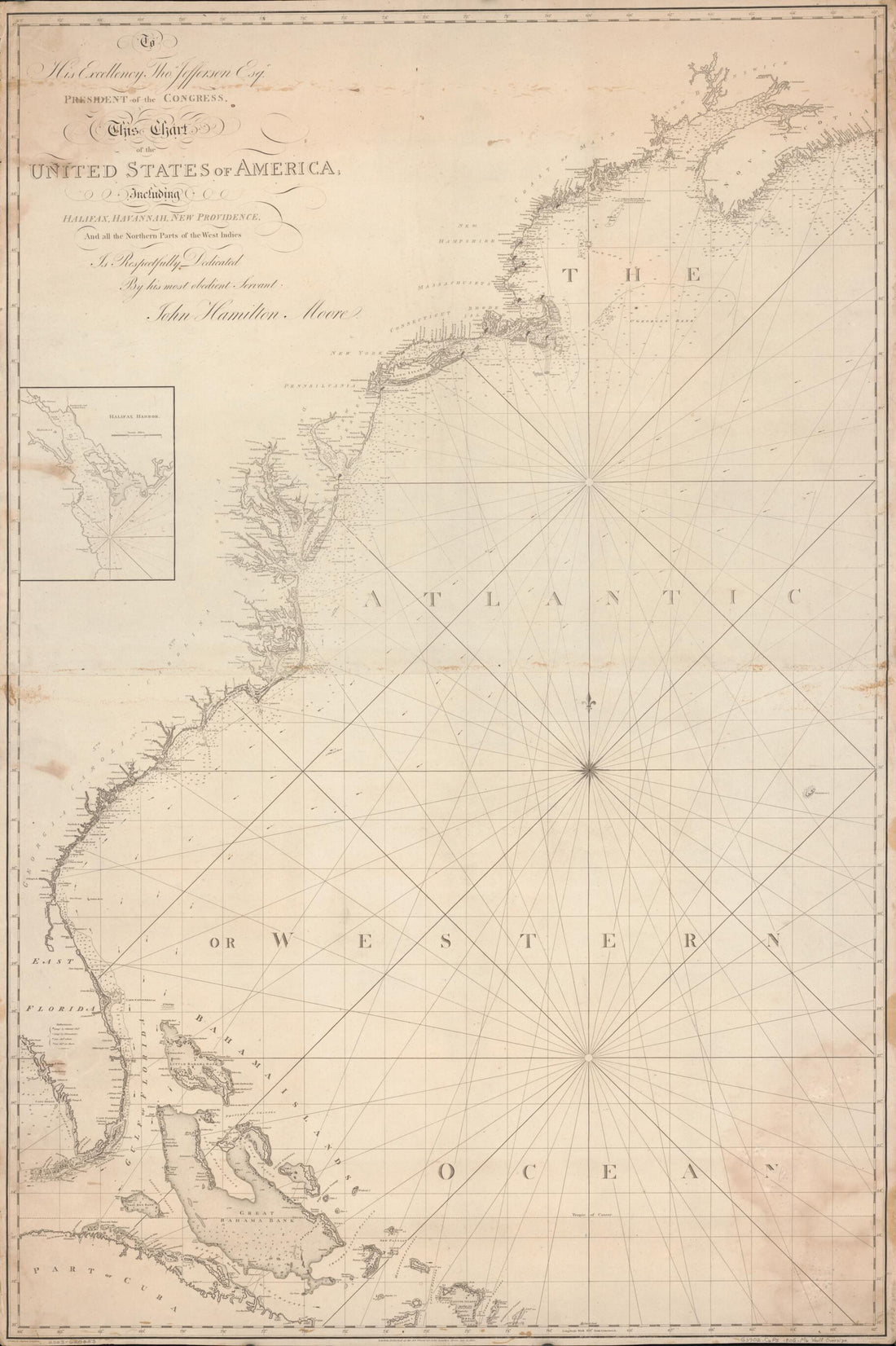 To His Excellency Thos. Jefferson, Esqr., President of the Congress, This Chart of the United States of America : Including Halifax, Havannah Havana, New Providence, and All the Northern Parts of the West Indies 1805
- Regular price
-
From
$41.95 - Regular price
-
$66.99 - Sale price
-
From
$41.95
-
A Map of the Sources of the Chaudière, Penobscot, and Kennebec Rivers 1761
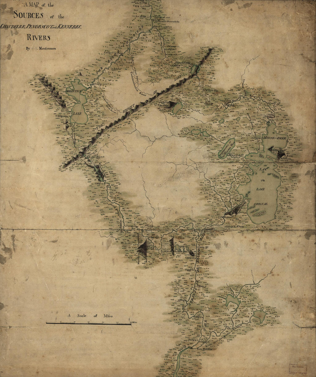 A Map of the Sources of the Chaudière, Penobscot, and Kennebec Rivers 1761
- Regular price
-
From
$30.95 - Regular price
-
$47.95 - Sale price
-
From
$30.95
-
Map of the European and North American Railway, Showing Its Connection With the Railways of the United States & Canada; Made by Direction of His Excellency John Hubbard, Governor of Maine Under the Resolve of Aug. 20th 1850
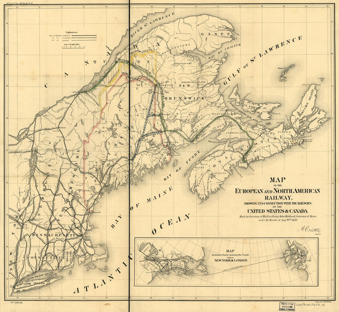 Map of the European and North American Railway, Showing Its Connection With the Railways of the United States & Canada; Made by Direction of His Excellency John Hubbard, Governor of Maine Under the Resolve of Aug. 20th 1850
- Regular price
-
From
$34.95 - Regular price
-
$49.99 - Sale price
-
From
$34.95
-
Port De Louisbourg Dans L'Isle Royale 1764
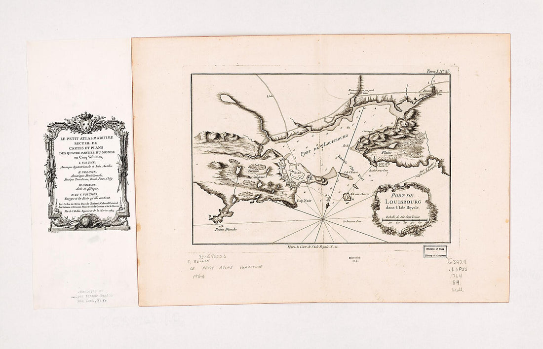 Port De Louisbourg Dans L'Isle Royale 1764
- Regular price
-
From
$41.95 - Regular price
-
$66.99 - Sale price
-
From
$41.95
-
York Et De La Nouvelle Angleterre, Celles De L'Acadie Ou Nouvelle Ecosse, De I'Île Royale De I'Île St. Jean, Avec L'interieur Du Pays 1780
 York Et De La Nouvelle Angleterre, Celles De L'Acadie Ou Nouvelle Ecosse, De I'Île Royale De I'Île St. Jean, Avec L'interieur Du Pays 1780
- Regular price
-
From
$41.95 - Regular price
-
$66.99 - Sale price
-
From
$41.95
-
Carte Réduite De L'Île Royale, Assujettie Aux Observations Astronomiques Et Nautiques, Aux Operations Géodésiques, à Différentes Routes Et à Leur Direction 1778
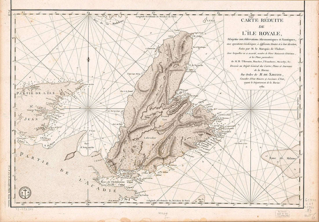 Carte Réduite De L'Île Royale, Assujettie Aux Observations Astronomiques Et Nautiques, Aux Operations Géodésiques, à Différentes Routes Et à Leur Direction 1778
- Regular price
-
From
$41.95 - Regular price
-
$66.99 - Sale price
-
From
$41.95
-
Outline Map of Canada 1893
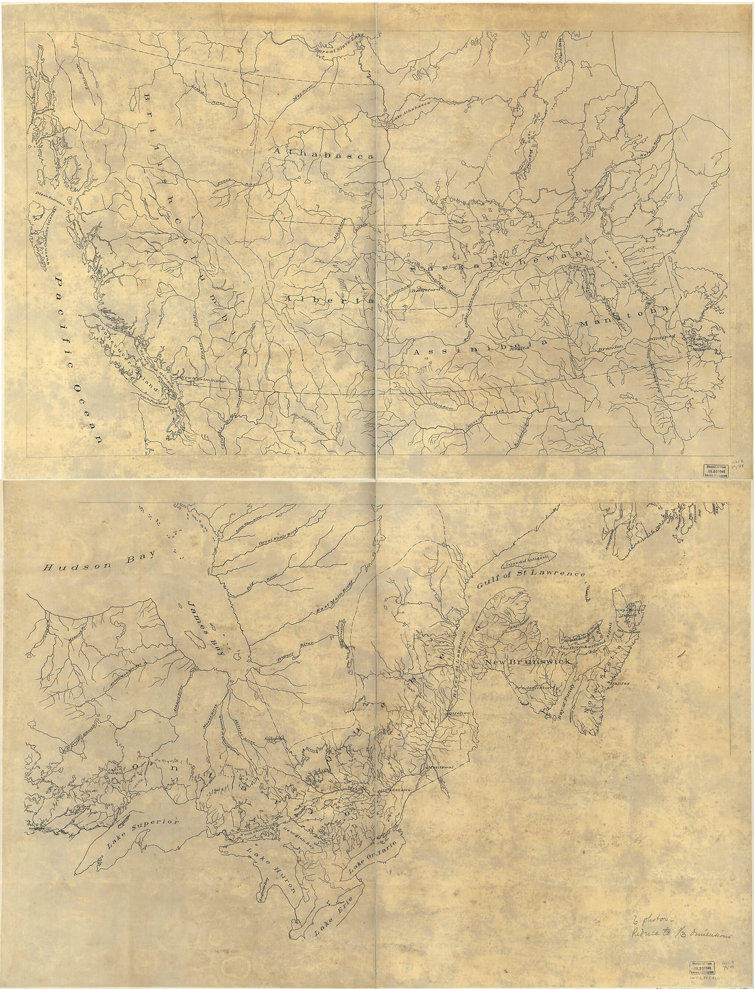 Outline Map of Canada 1893
- Regular price
-
From
$32.95 - Regular price
-
$51.99 - Sale price
-
From
$32.95
-
Environs De Quebec: Bloque Par Les Americains Du 8. Decembre 1775 Au 13. Mai 1776 1777
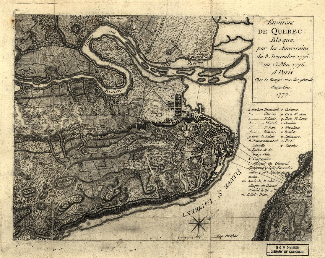 Environs De Quebec: Bloque Par Les Americains Du 8. Decembre 1775 Au 13. Mai 1776 1777
- Regular price
-
From
$19.95 - Regular price
-
$29.95 - Sale price
-
From
$19.95
-
Map of the United States In Part and Canada, Showing All the Canals, Railroads, Navigable Rivers &c 1852
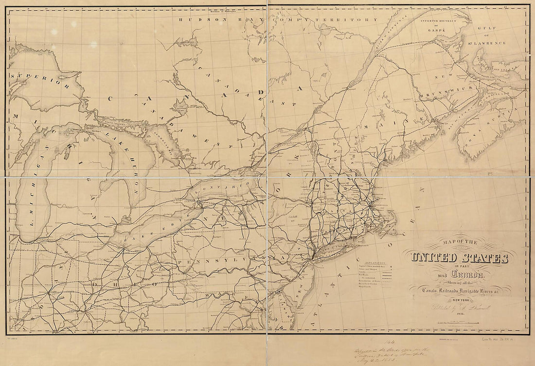 Map of the United States In Part and Canada, Showing All the Canals, Railroads, Navigable Rivers &c 1852
- Regular price
-
From
$41.95 - Regular price
-
$66.99 - Sale price
-
From
$41.95


