584 products
-
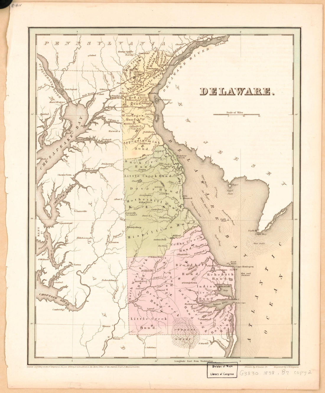 Delaware 1838Delaware 1838
- Regular price
-
$39.95 $83.95 - Regular price
-
$34.95 - Sale price
-
$39.95 $83.95
-
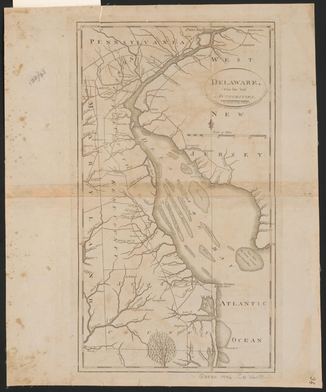 Delaware from the Best Authorities 1795Delaware from the Best Authorities 1795
- Regular price
-
$39.95 $83.95 - Regular price
-
$34.95 - Sale price
-
$39.95 $83.95
-
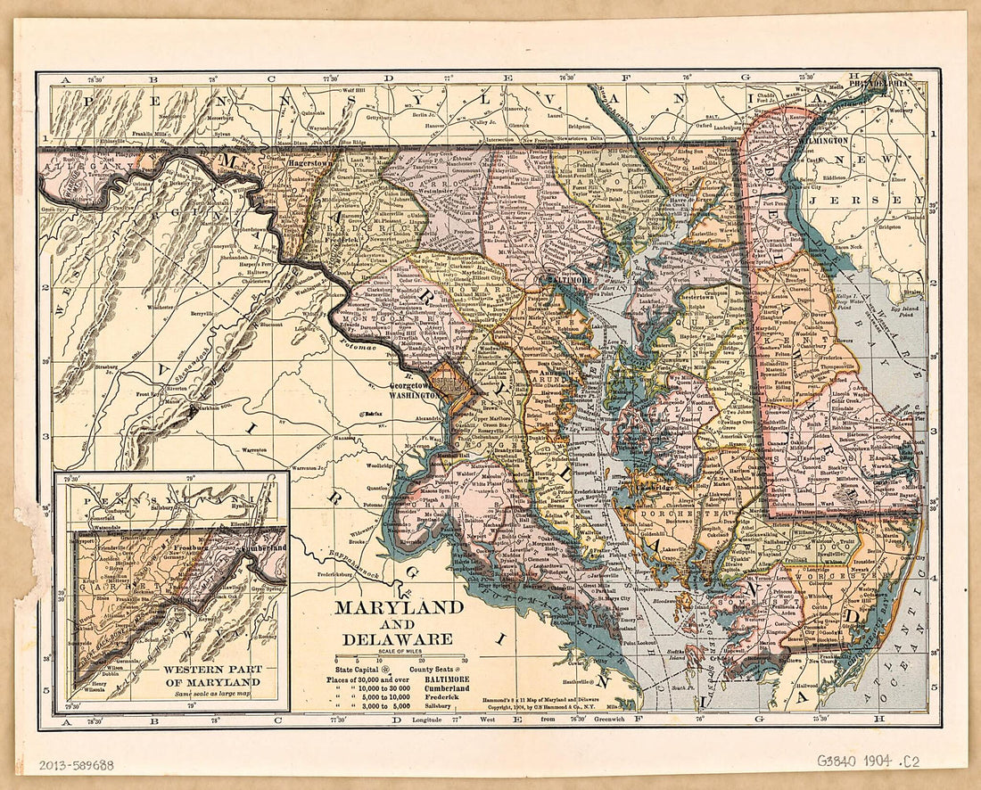 Maryland and Delaware. (Hammond's 8 X 11 Map of Maryland and Delaware) 1904Maryland and Delaware. (Hammond's 8 X 11 Map of Maryland and Delaware) 1904
- Regular price
-
$39.95 $83.95 - Regular price
-
$34.95 - Sale price
-
$39.95 $83.95
-
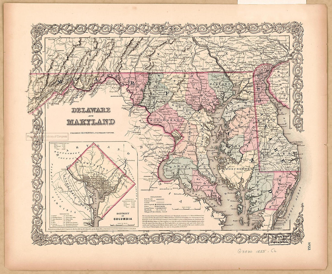 Delaware and Maryland 1855Delaware and Maryland 1855
- Regular price
-
$43.95 $83.95 - Regular price
-
$31.95 - Sale price
-
$43.95 $83.95
-
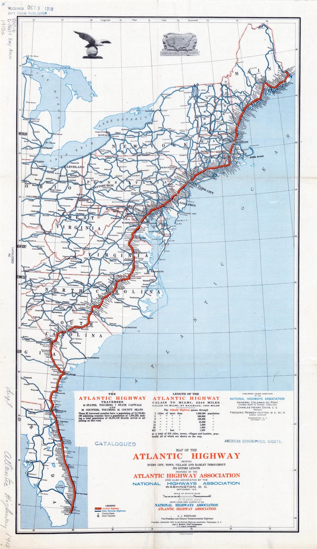 Map of the Atlantic Highway: Showing Every City, Town, Village and Hamlet Throughout Its Entire Length in 1915Map of the Atlantic Highway: Showing Every City, Town, Village and Hamlet Throughout Its Entire Length in 1915
- Regular price
-
$43.95 $99.95 - Regular price
-
$31.95 - Sale price
-
$43.95 $99.95
-
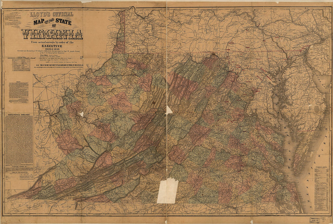 Lloyd's Official Map of the State of Virginia from Actual Surveys by Order of the Executive, 1828 & 1859 1863Lloyd's Official Map of the State of Virginia from Actual Surveys by Order of the Executive, 1828 & 1859 1863
- Regular price
-
$46.95 $145.95 - Regular price
-
$41.95 - Sale price
-
$46.95 $145.95
-
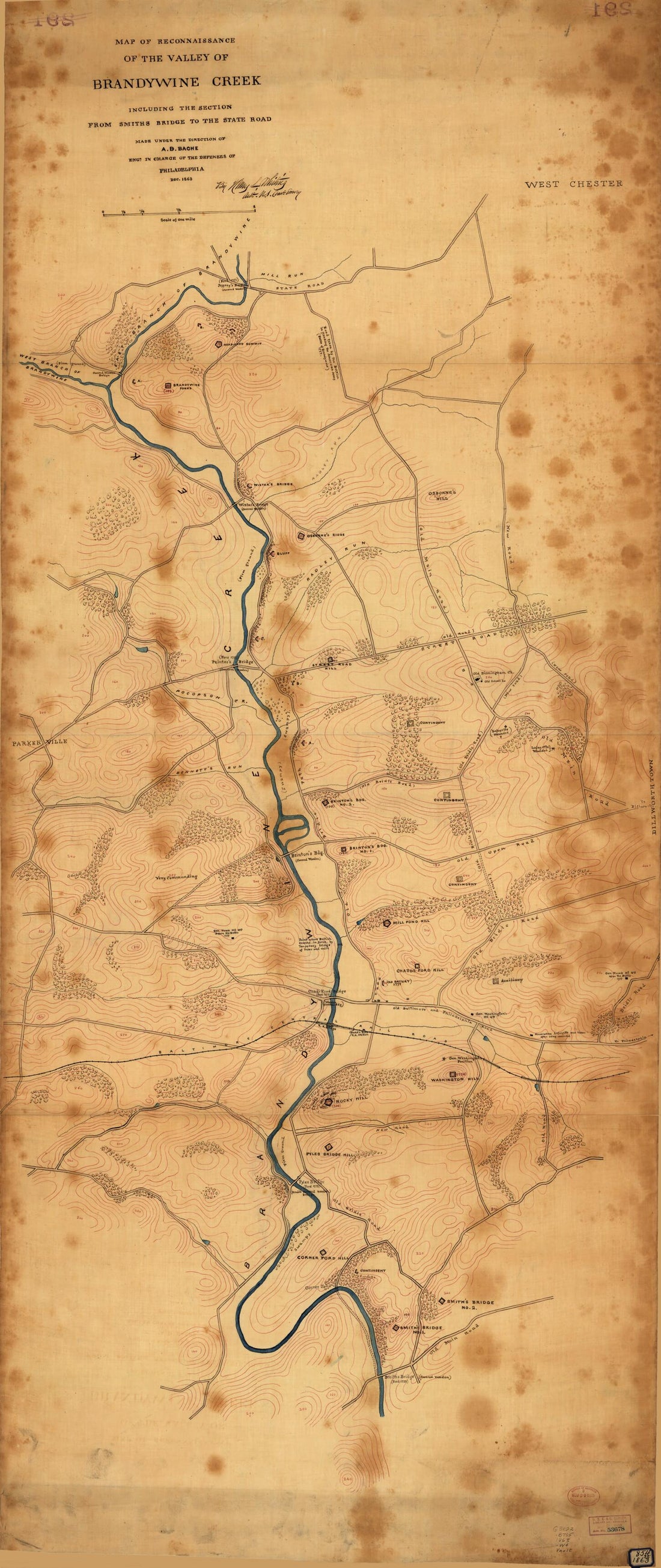 Map of Reconnaissance of the Valley of Brandywine Creek : Including the Section From Smiths Bridge to the State Road in 1863Map of Reconnaissance of the Valley of Brandywine Creek : Including the Section From Smiths Bridge to the State Road in 1863
- Regular price
-
$46.95 $203.95 - Regular price
-
$41.95 - Sale price
-
$46.95 $203.95
-
 Colton's New Topographical Map of the States of Virginia, Maryland & Delaware : Showing Also Eastern Tennessee & Parts of All the Fortifications, Military Stations, Railroads, Common Roads, and Other Internal Improvements (Colton's Map of Virginia) 1862Colton's New Topographical Map of the States of Virginia, Maryland & Delaware : Showing Also Eastern Tennessee & Parts of All the Fortifications, Military Stations, Railroads, Common Roads, and Other Internal Improvements (Colton's Map of Virginia) 1862
- Regular price
-
$46.95 $161.95 - Regular price
-
$41.95 - Sale price
-
$46.95 $161.95
-
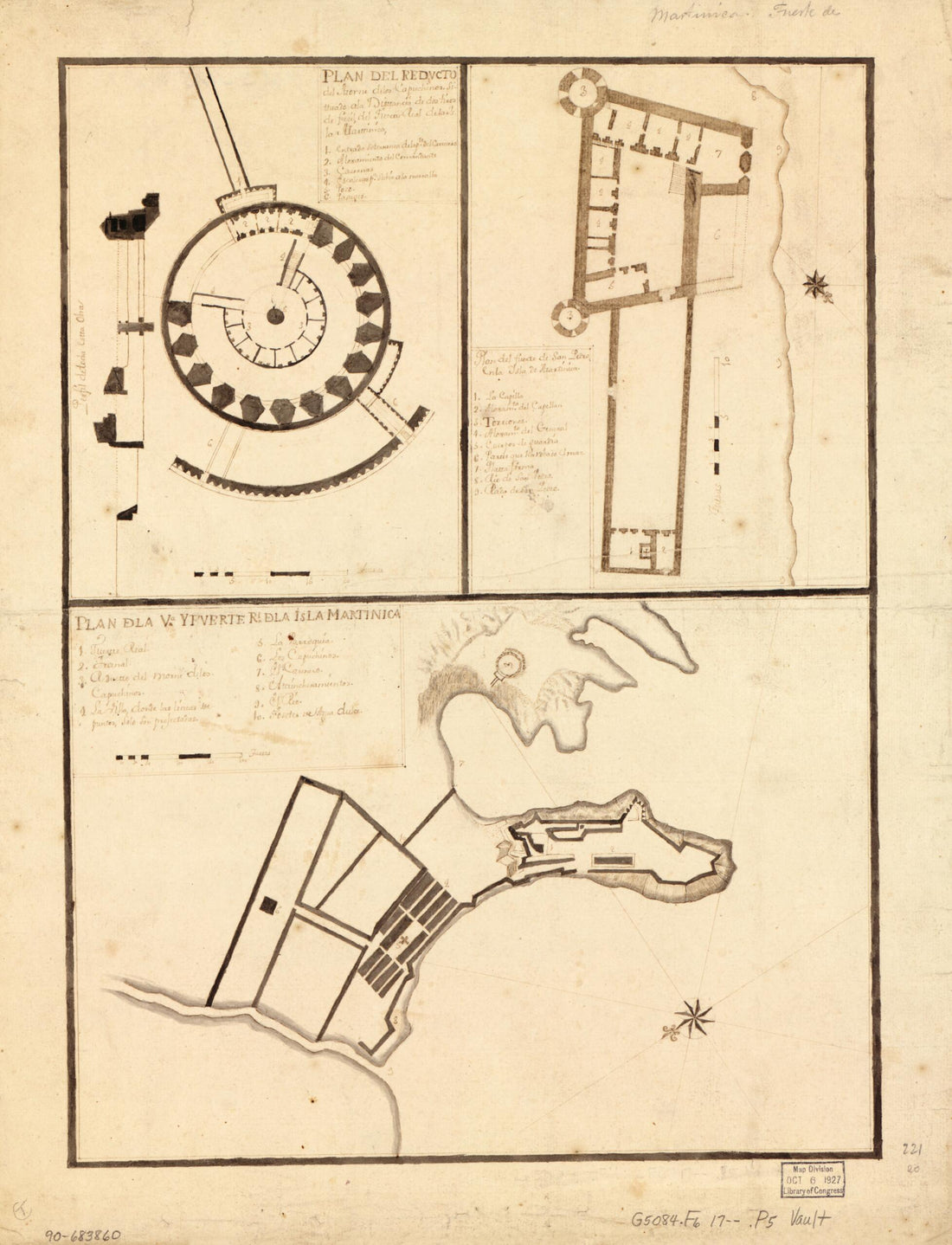 Plan De La Va. Y Fuerte Rl. De La Isla Martinica in 1700Plan De La Va. Y Fuerte Rl. De La Isla Martinica in 1700
- Regular price
-
$43.95 $88.95 - Regular price
-
$31.95 - Sale price
-
$43.95 $88.95
-
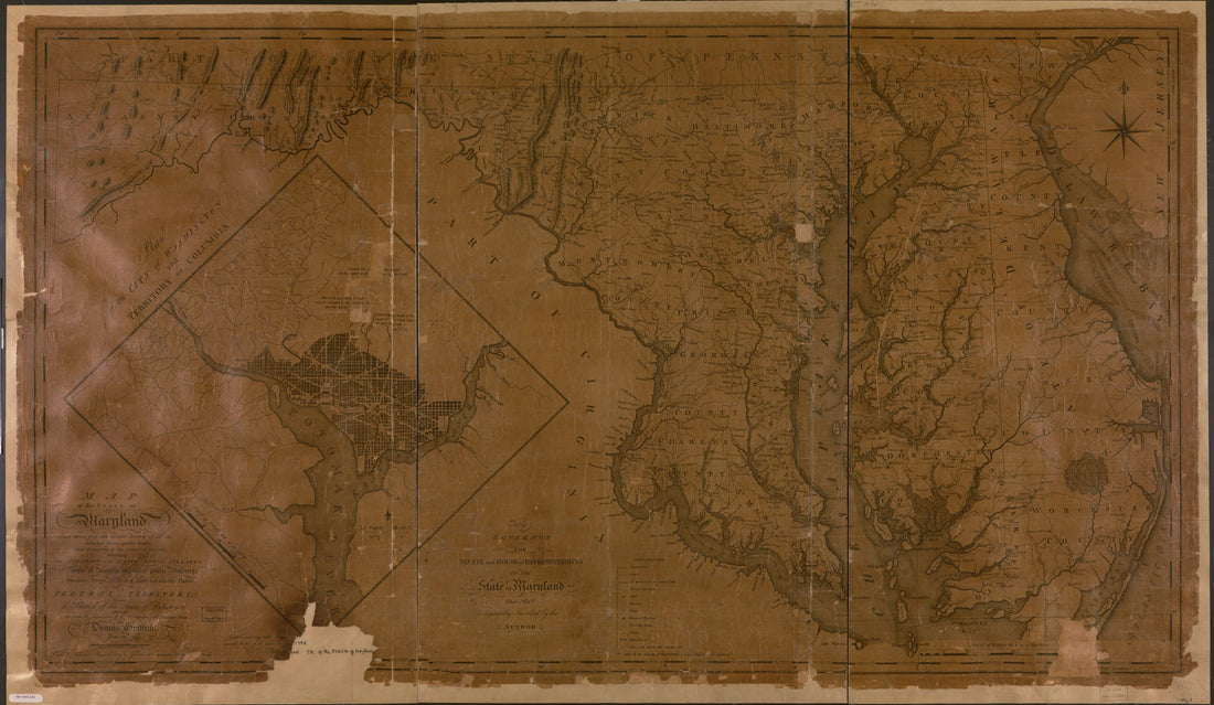 Map of the State of Maryland Laid Down From an Actual Survey of All the Principal Waters, Public Roads, and Divisions of the Counties Therein; Describing the Situation of the Cities, Towns, Villages, Houses of Worship and Other Public Buildings, Furna...Map of the State of Maryland Laid Down From an Actual Survey of All the Principal Waters, Public Roads, and Divisions of the Counties Therein; Describing the Situation of the Cities, Towns, Villages, Houses of Worship and Other Public Buildings, Furna...
- Regular price
-
$46.95 $156.95 - Regular price
-
$41.95 - Sale price
-
$46.95 $156.95
-
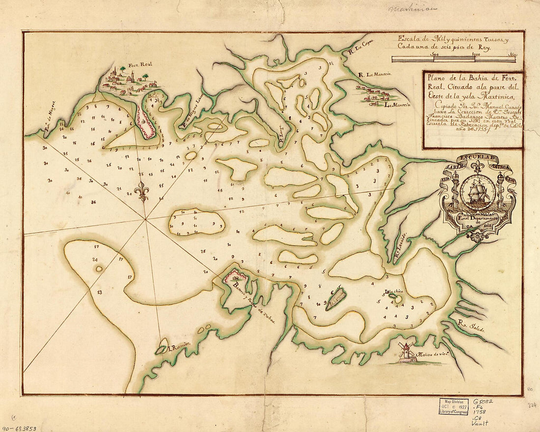 Plano De La Bahía De Fort Real Cituado a La Parte Del Oeste De La Ysla Martinica 1758Plano De La Bahía De Fort Real Cituado a La Parte Del Oeste De La Ysla Martinica 1758
- Regular price
-
$39.95 $83.95 - Regular price
-
$34.95 - Sale price
-
$39.95 $83.95
-
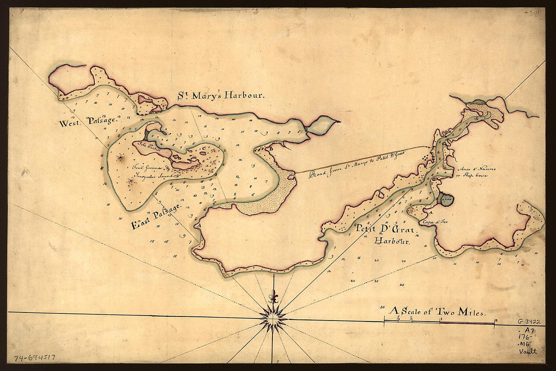 Map of St. Mary's and Petit D'Grat Harbour. 1760Map of St. Mary's and Petit D'Grat Harbour. 1760
- Regular price
-
$39.95 $99.95 - Regular price
-
$34.95 - Sale price
-
$39.95 $99.95


