584 products
-
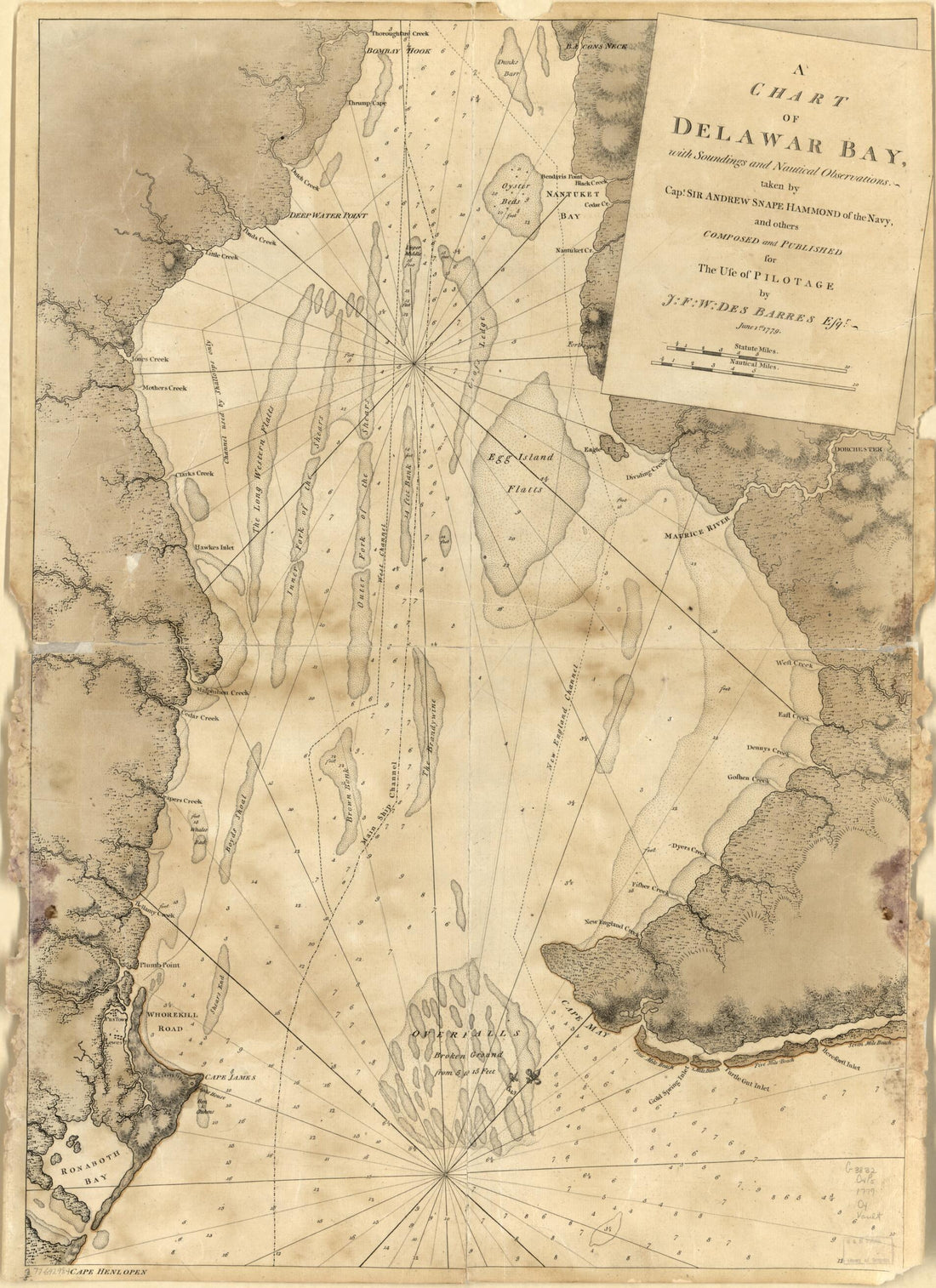 A Chart of Delawar Bay, With Soundings and Nautical Observations 1779A Chart of Delawar Bay, With Soundings and Nautical Observations 1779
- Regular price
-
$43.95 $88.95 - Regular price
-
$32.95 - Sale price
-
$43.95 $88.95
-
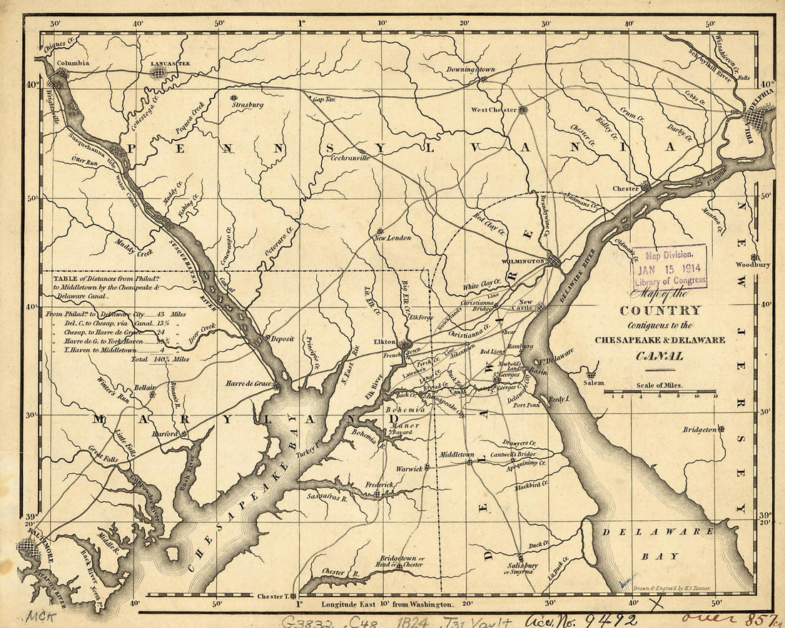 Map of the Country Contiguous to the Chesapeake & Delaware Canal 1824Map of the Country Contiguous to the Chesapeake & Delaware Canal 1824
- Regular price
-
$39.95 $83.95 - Regular price
-
$29.95 - Sale price
-
$39.95 $83.95
-
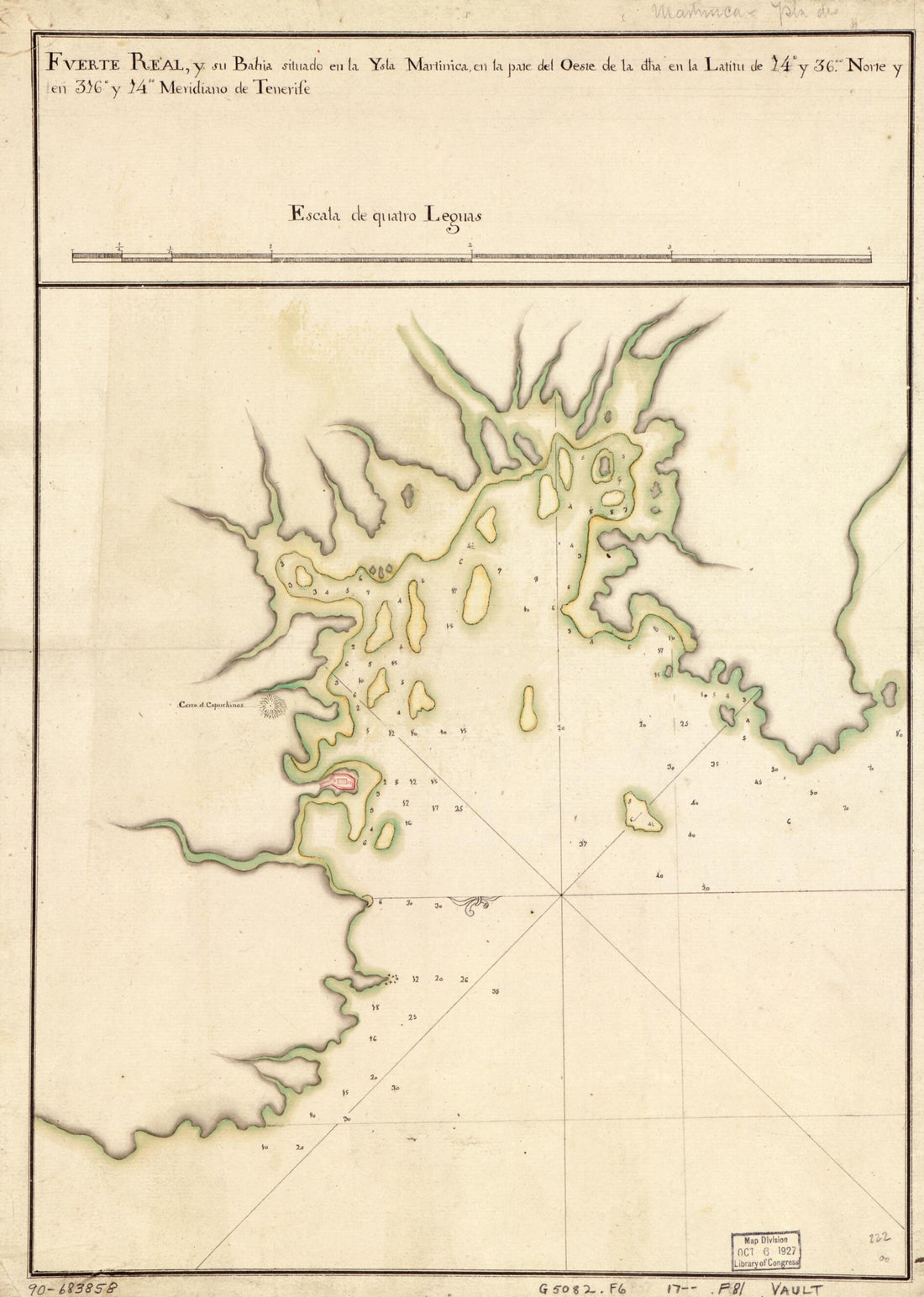 Fuerte Real En La Martinca : Bahía De Fuerte Real Situdao En La Ysla Martinica Por La Bando Del Oeste La Latd. De 14 Gs. 36 Ms. N. Y En La Longd. De 316 Gs. 14 Ms. Segn. El Meridiano De Thenerife 1700Fuerte Real En La Martinca : Bahía De Fuerte Real Situdao En La Ysla Martinica Por La Bando Del Oeste La Latd. De 14 Gs. 36 Ms. N. Y En La Longd. De 316 Gs. 14 Ms. Segn. El Meridiano De Thenerife 1700
- Regular price
-
$39.95 $88.95 - Regular price
-
$29.95 - Sale price
-
$39.95 $88.95
-
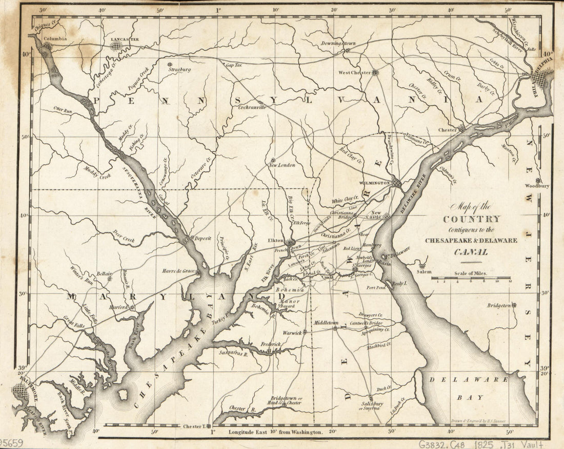 Map of the Country Contiguous to the Chesapeake & Delaware Canal 1825Map of the Country Contiguous to the Chesapeake & Delaware Canal 1825
- Regular price
-
$39.95 $83.95 - Regular price
-
$29.95 - Sale price
-
$39.95 $83.95
-
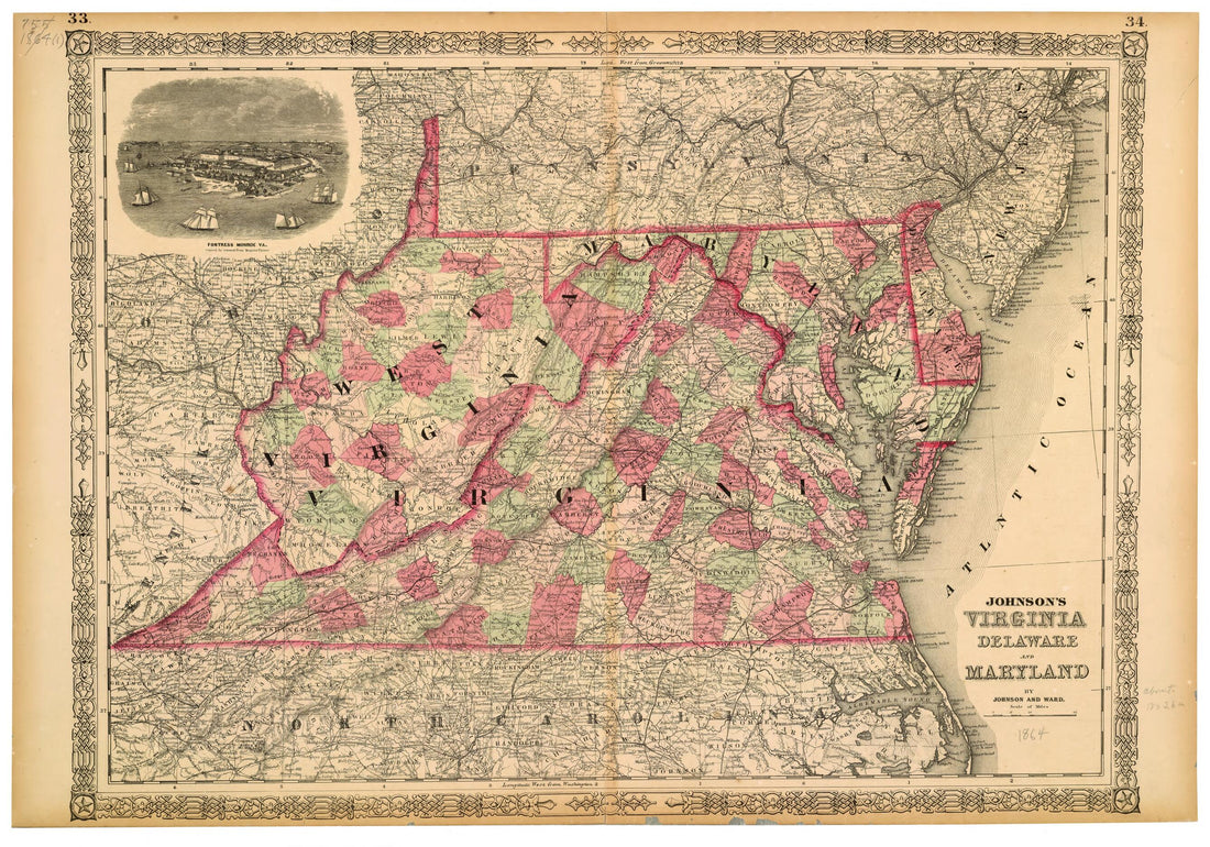 Johnson's Virginia, Delaware and Maryland 1864Johnson's Virginia, Delaware and Maryland 1864
- Regular price
-
$46.95 $99.95 - Regular price
-
$41.95 - Sale price
-
$46.95 $99.95
-
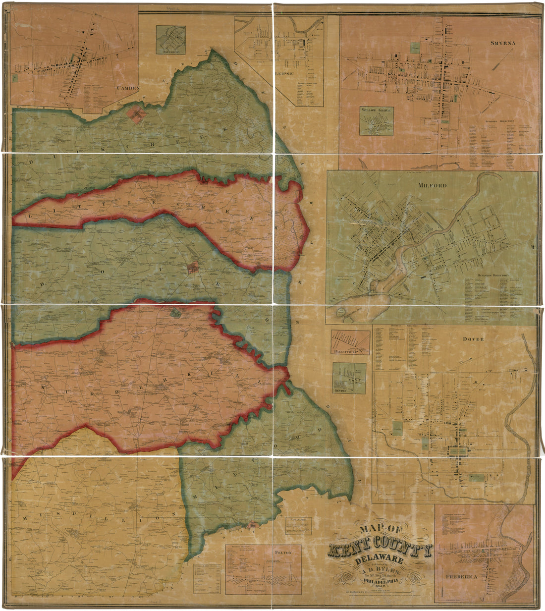 Map of Kent County, Delaware : From Actual Surveys in 1859Map of Kent County, Delaware : From Actual Surveys in 1859
- Regular price
-
$39.95 $202.95 - Regular price
-
$34.95 - Sale price
-
$39.95 $202.95
-
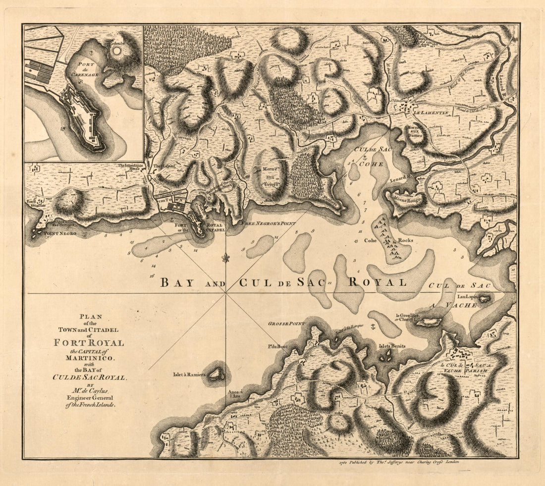 Plan of the Town and Citadel of Fort Royal, the Capital of Martinico With the Bay of Cul De Sac Royal in 1760Plan of the Town and Citadel of Fort Royal, the Capital of Martinico With the Bay of Cul De Sac Royal in 1760
- Regular price
-
$39.95 $83.95 - Regular price
-
$34.95 - Sale price
-
$39.95 $83.95
-
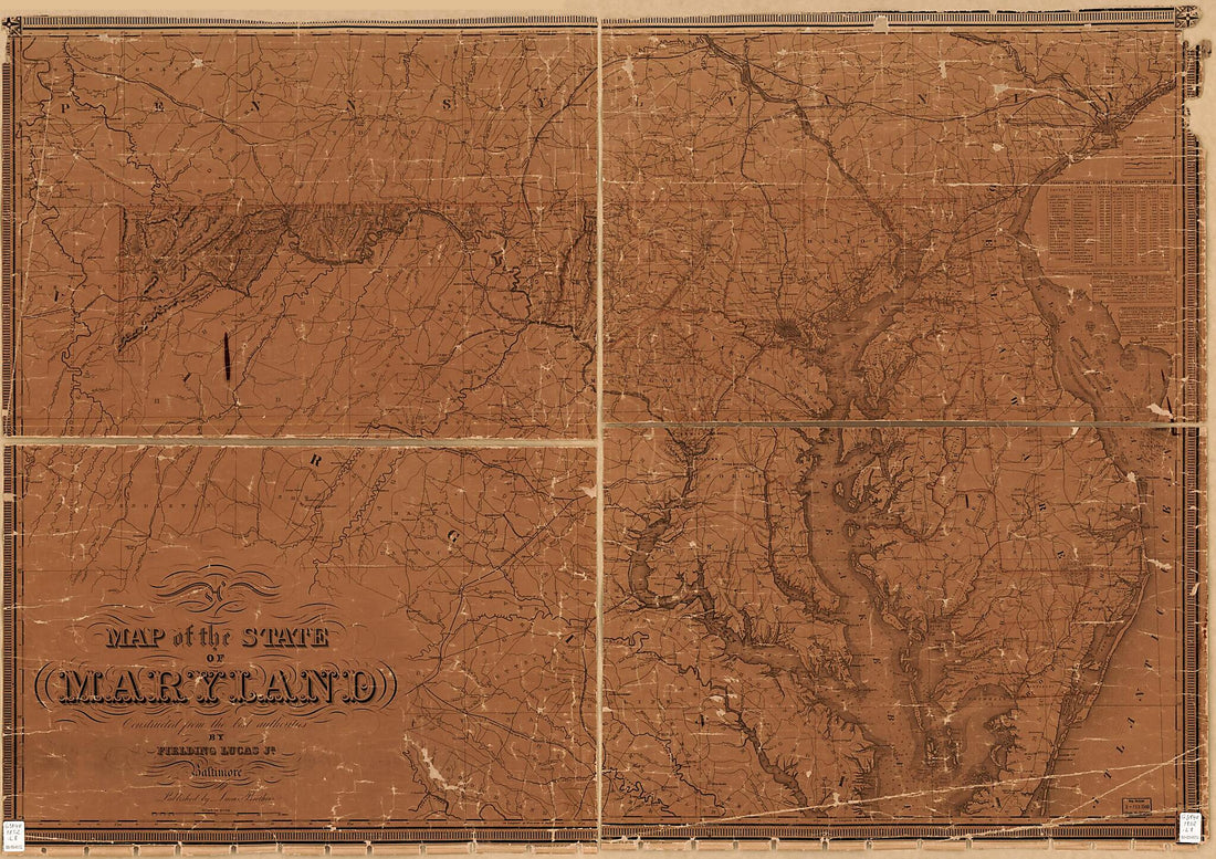 A Map of the State of Maryland 1852A Map of the State of Maryland 1852
- Regular price
-
$46.95 $161.95 - Regular price
-
$41.95 - Sale price
-
$46.95 $161.95
-
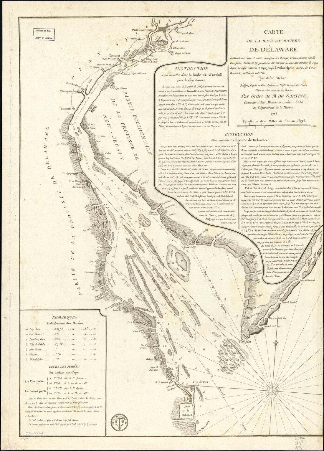 Sonds, Sables Et Les Gissements Des Marques Les Plus Considérables Du Pays, Depuis Les Caps James Et May Jusqu'à Philadelphie, Suivant La Carte Originale in 1778Sonds, Sables Et Les Gissements Des Marques Les Plus Considérables Du Pays, Depuis Les Caps James Et May Jusqu'à Philadelphie, Suivant La Carte Originale in 1778
- Regular price
-
$43.95 $88.95 - Regular price
-
$32.95 - Sale price
-
$43.95 $88.95
-
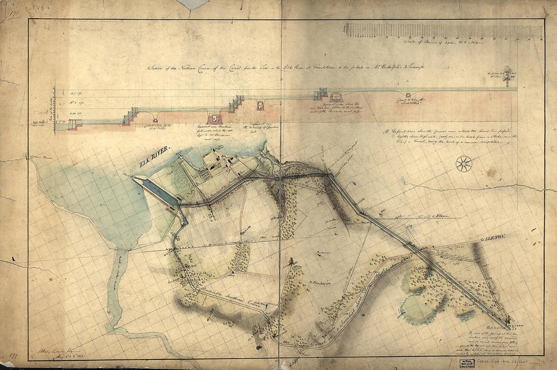 Section of the Northern Course of the Canal from the Tide In the Elk River at Frenchtown to the Forked oak In Mr. Rudulph's Swamp : Chesapeake and Delaware Canal, Maryland Portion 1803Section of the Northern Course of the Canal from the Tide In the Elk River at Frenchtown to the Forked oak In Mr. Rudulph's Swamp : Chesapeake and Delaware Canal, Maryland Portion 1803
- Regular price
-
$46.95 $163.95 - Regular price
-
$41.95 - Sale price
-
$46.95 $163.95
-
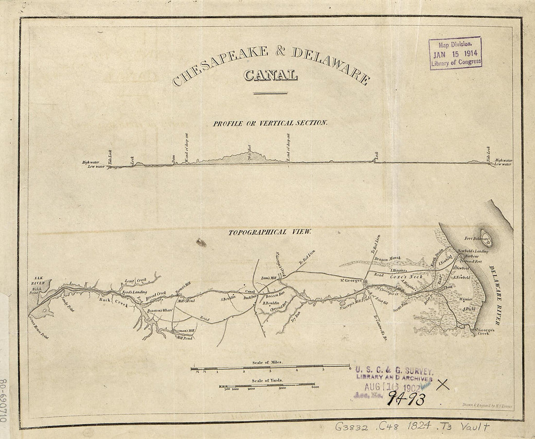 Chesapeake & Delaware Canal, Topographical View 1824Chesapeake & Delaware Canal, Topographical View 1824
- Regular price
-
$39.95 $83.95 - Regular price
-
$29.95 - Sale price
-
$39.95 $83.95
-
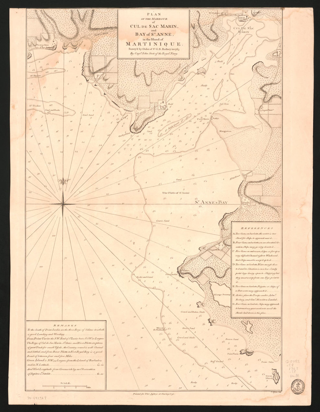 Plan of the Harbour of Cul De Sac Marin, and Bay of St. Anne, In the Island of Martinique 1763Plan of the Harbour of Cul De Sac Marin, and Bay of St. Anne, In the Island of Martinique 1763
- Regular price
-
$39.95 $83.95 - Regular price
-
$34.95 - Sale price
-
$39.95 $83.95


