46 products
-
Sketches for the Great Map of Bavaria from 1563, Part 4. Topographical Map of Bavaria 48 Degrees 15 Minutes to 48 Degrees 18 Minutes North Latitude. (Vorzeichnungen Für Die Grosse Karte Bayerns Von 1563, Teil 4: Topographische Karte Von Bayern 48° 1...
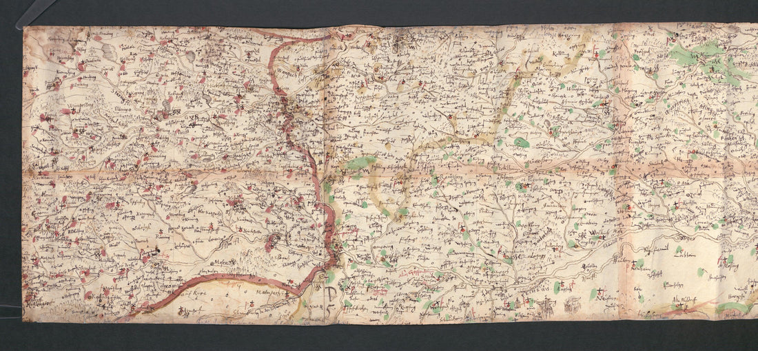 Sketches for the Great Map of Bavaria from 1563, Part 4. Topographical Map of Bavaria 48 Degrees 15 Minutes to 48 Degrees 18 Minutes North Latitude. (Vorzeichnungen Für Die Grosse Karte Bayerns Von 1563, Teil 4: Topographische Karte Von Bayern 48° 1...
- Regular price
-
From
$41.95 - Regular price
-
$66.99 - Sale price
-
From
$41.95
-
Sketches for the Great Map of Bavaria from 1563, Part 3. Topographical Map of Bavaria 48 Degrees 10 Minutes to 48 Degrees 14 Minutes North Latitude. (Vorzeichnungen Für Die Grosse Karte Bayerns Von 1563, Teil 3: Topographische Karte Von Bayern 48° 1...
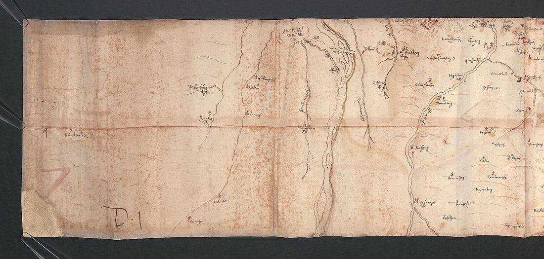 Sketches for the Great Map of Bavaria from 1563, Part 3. Topographical Map of Bavaria 48 Degrees 10 Minutes to 48 Degrees 14 Minutes North Latitude. (Vorzeichnungen Für Die Grosse Karte Bayerns Von 1563, Teil 3: Topographische Karte Von Bayern 48° 1...
- Regular price
-
From
$41.95 - Regular price
-
$66.99 - Sale price
-
From
$41.95
-
Post U. Reise Karte Von Deutschland, Hendschel's Post Und Reise Karte Von Deutschland, Karte Von Deutschland, Nouvelle Carte Des Postes Et Des Chemins De Fer De L'Allemagne in 1855
 Post U. Reise Karte Von Deutschland, Hendschel's Post Und Reise Karte Von Deutschland, Karte Von Deutschland, Nouvelle Carte Des Postes Et Des Chemins De Fer De L'Allemagne in 1855
- Regular price
-
From
$34.95 - Regular price
-
$49.99 - Sale price
-
From
$34.95
-
Bezirke Und Landräthlichen Kreise (Prussia 1854)
 Bezirke Und Landräthlichen Kreise (Prussia 1854)
- Regular price
-
From
$41.95 - Regular price
-
$66.99 - Sale price
-
From
$41.95
-
Karte Der Eisenbahnen Und Der Bedeutenderen Post- Und Dampfschiff-Verbindungen In Deutschland : Und Den Angrenzenden Ländern (European Rail Roads, European R. Roads 1855)
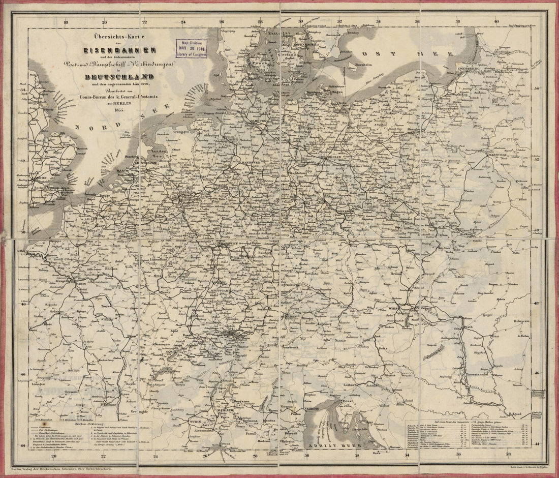 Karte Der Eisenbahnen Und Der Bedeutenderen Post- Und Dampfschiff-Verbindungen In Deutschland : Und Den Angrenzenden Ländern (European Rail Roads, European R. Roads 1855)
- Regular price
-
From
$30.95 - Regular price
-
$47.95 - Sale price
-
From
$30.95
-
Carte De L'Empire D'Allemagne, Divisé En Ses Cercles : Contenant Aussi Le Royaume De Bohême, La Silésie &c. (Germany 1800)
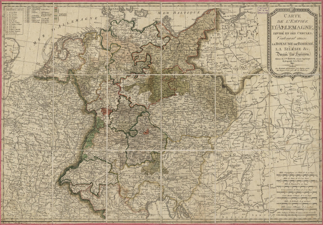 Carte De L'Empire D'Allemagne, Divisé En Ses Cercles : Contenant Aussi Le Royaume De Bohême, La Silésie &c. (Germany 1800)
- Regular price
-
From
$41.95 - Regular price
-
$66.99 - Sale price
-
From
$41.95
-
Carte Speciale Des Chemins De Fer De La France Et De L'Allemagne a L'usage Des Voyageurs Indiquant Toutes Les Stations Qui Desservent Les Villes, Bourgs Et Communes Situés Sûr Ile Parcours Des Lignes Exploitées (Routes De France) 1865
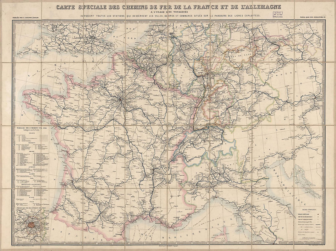 Carte Speciale Des Chemins De Fer De La France Et De L'Allemagne a L'usage Des Voyageurs Indiquant Toutes Les Stations Qui Desservent Les Villes, Bourgs Et Communes Situés Sûr Ile Parcours Des Lignes Exploitées (Routes De France) 1865
- Regular price
-
From
$32.95 - Regular price
-
$51.99 - Sale price
-
From
$32.95
-
Und Eisenbahn-Reisekarte--Deutschland, Holland, Die Schweiz, Italien Bis Neapel, Der Grösste Theil Von Frankreich, Ungarn, Polen Etc. : Mit Besonderer Rücksicht Auf Eisenbahnen U. Seedampfschiffahrt in 1856
 Und Eisenbahn-Reisekarte--Deutschland, Holland, Die Schweiz, Italien Bis Neapel, Der Grösste Theil Von Frankreich, Ungarn, Polen Etc. : Mit Besonderer Rücksicht Auf Eisenbahnen U. Seedampfschiffahrt in 1856
- Regular price
-
From
$34.95 - Regular price
-
$49.99 - Sale price
-
From
$34.95
-
A Map of the Present Seat of War On the Northern Part of France, Including the Netherlands, Part of Germany &c in 1793
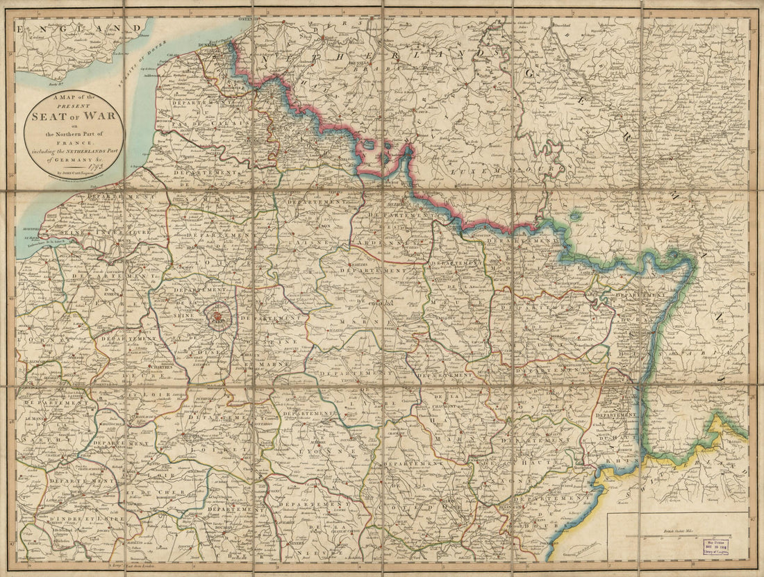 A Map of the Present Seat of War On the Northern Part of France, Including the Netherlands, Part of Germany &c in 1793
- Regular price
-
From
$32.95 - Regular price
-
$51.99 - Sale price
-
From
$32.95
-
A New Map of the Countries Extending from the Adriatic to the Gulf of Finland : and from Thence Westward to the M'ths of the Scheldt : Intended to Exhibit the Present Seat of War Between the Belligerent Powers 1813
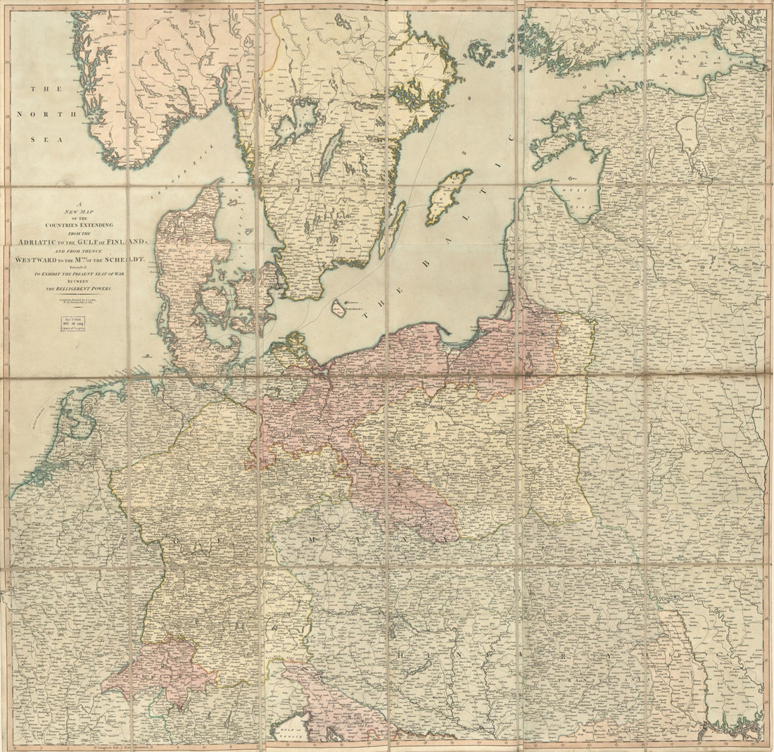 A New Map of the Countries Extending from the Adriatic to the Gulf of Finland : and from Thence Westward to the M'ths of the Scheldt : Intended to Exhibit the Present Seat of War Between the Belligerent Powers 1813
- Regular price
-
From
$34.95 - Regular price
-
$49.99 - Sale price
-
From
$34.95
-
Carte Générale De L'Allemagne Comprenant L'ensemble Des Etats De L'Europe Centrale (Carte Générale D 'Allemagne) 1866
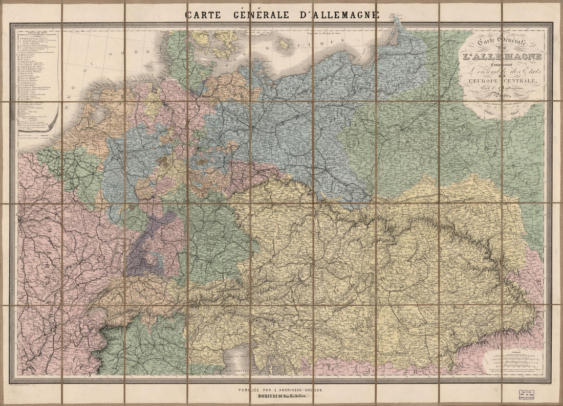 Carte Générale De L'Allemagne Comprenant L'ensemble Des Etats De L'Europe Centrale (Carte Générale D 'Allemagne) 1866
- Regular price
-
From
$32.95 - Regular price
-
$51.99 - Sale price
-
From
$32.95


