174 products
-
Portsmouth, New Hampshire in 1782
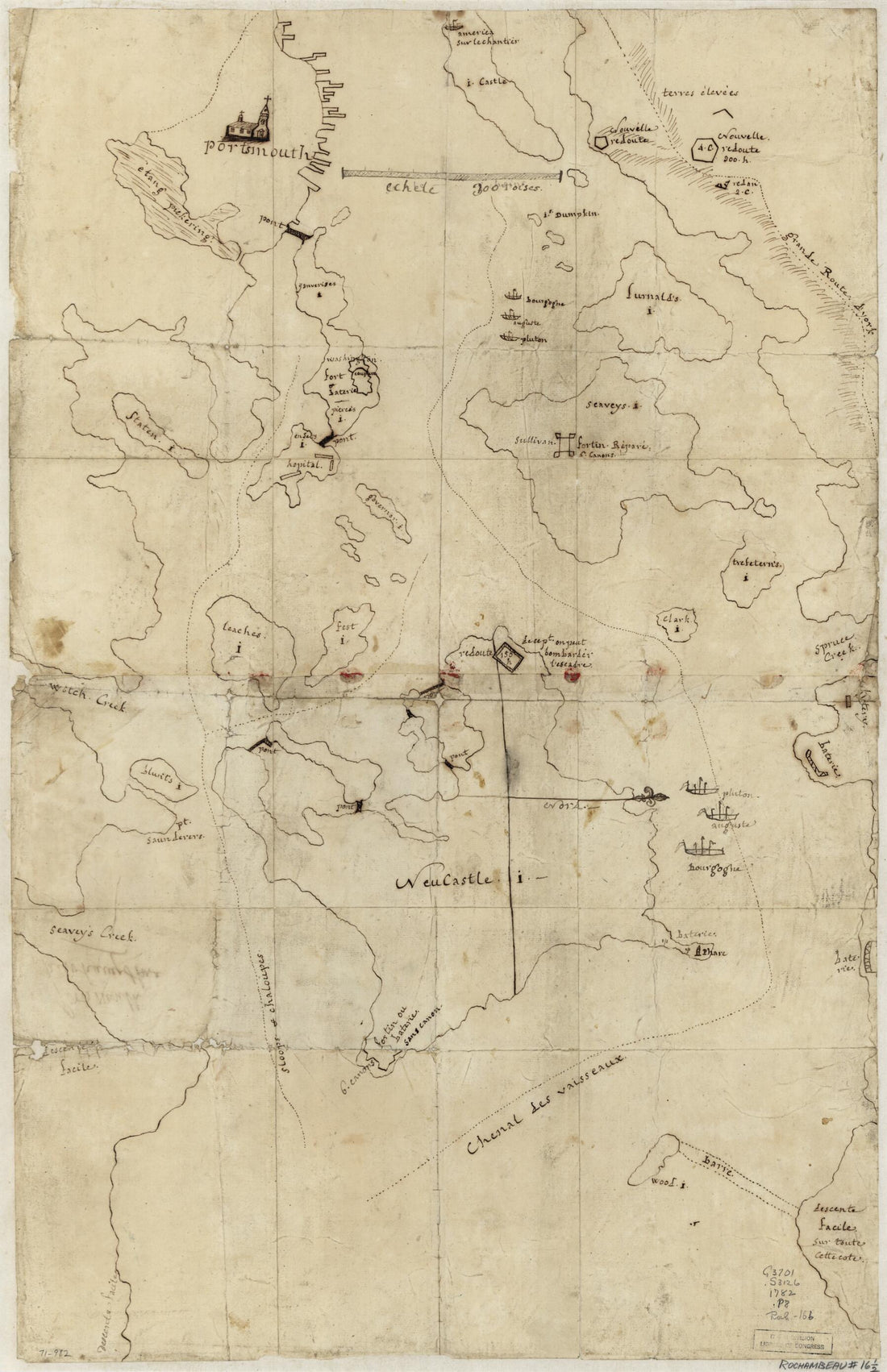 Portsmouth, New Hampshire in 1782
- Regular price
-
From
$41.95 - Regular price
-
$66.99 - Sale price
-
From
$41.95
-
Rico Dans L'isle De Ce Nom 1764
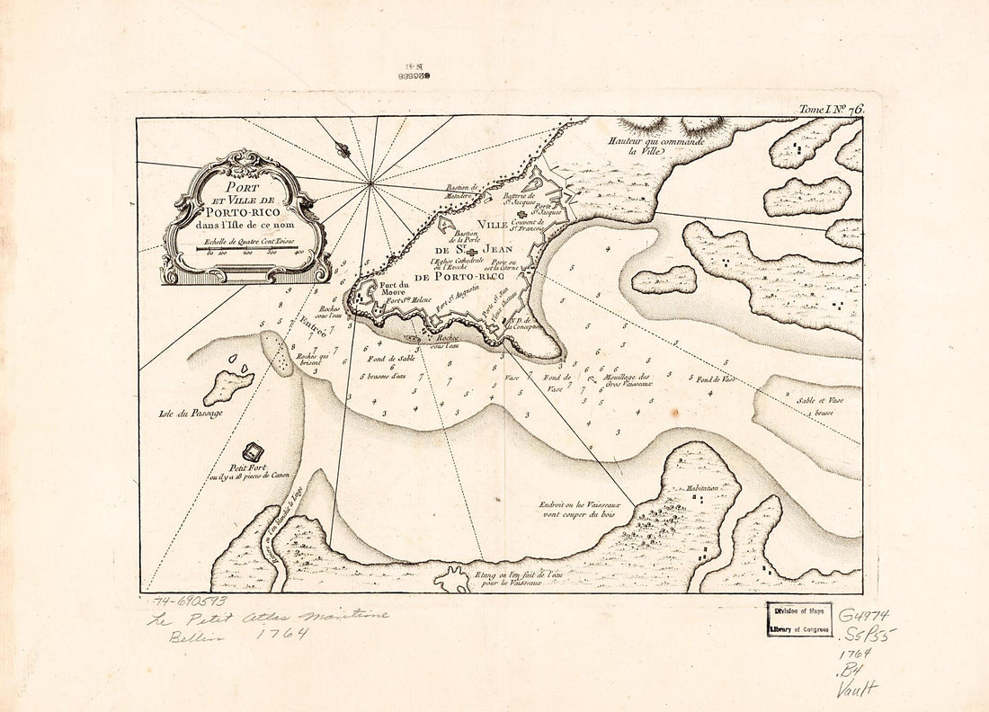 Rico Dans L'isle De Ce Nom 1764
- Regular price
-
From
$21.95 - Regular price
-
$33.95 - Sale price
-
From
$21.95
-
A Plan of the Harbour and Peninsula of Cape Ann In North America in 1776
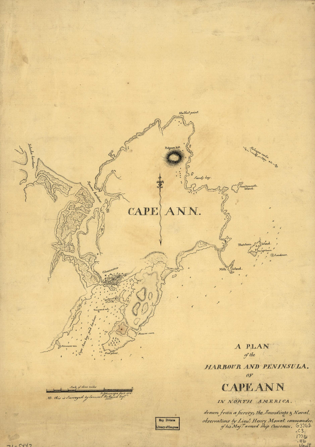 A Plan of the Harbour and Peninsula of Cape Ann In North America in 1776
- Regular price
-
From
$19.95 - Regular price
-
$29.95 - Sale price
-
From
$19.95
-
Potomac River (in Four Sheets): Sheet No. 4, From Indian Head to Georgetown in 1864
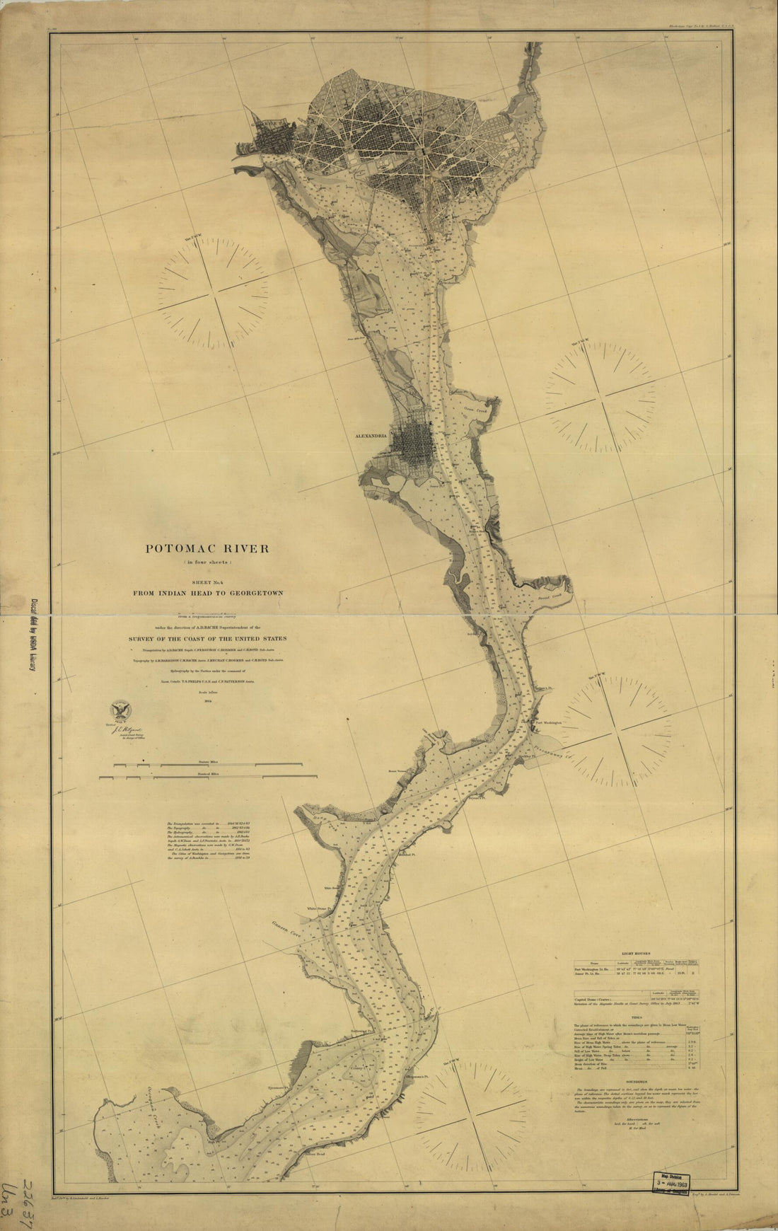 Potomac River (in Four Sheets): Sheet No. 4, From Indian Head to Georgetown in 1864
- Regular price
-
From
$41.95 - Regular price
-
$66.99 - Sale price
-
From
$41.95
-
A Plan of Louisbourg 1700
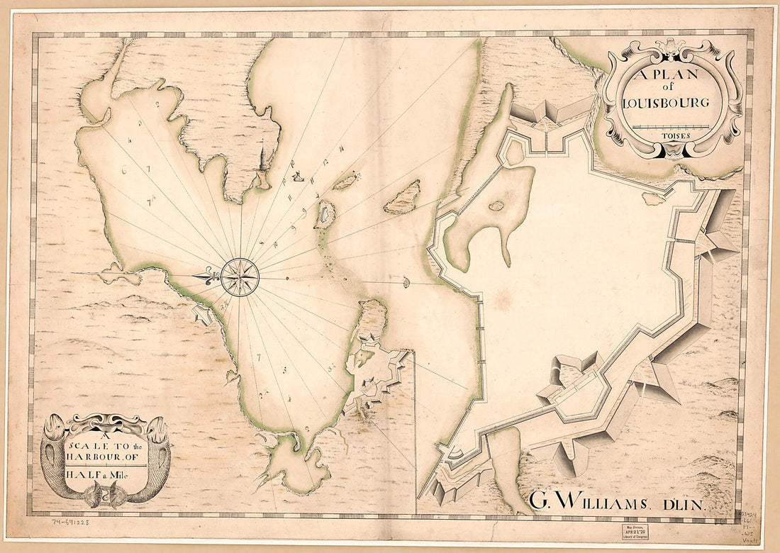 A Plan of Louisbourg 1700
- Regular price
-
From
$32.95 - Regular price
-
$51.99 - Sale price
-
From
$32.95
-
Map of Black Tom Island, Jersey City, New Jersey : Showing Area Damaged by Explosion and Fire, July 30th in 1916
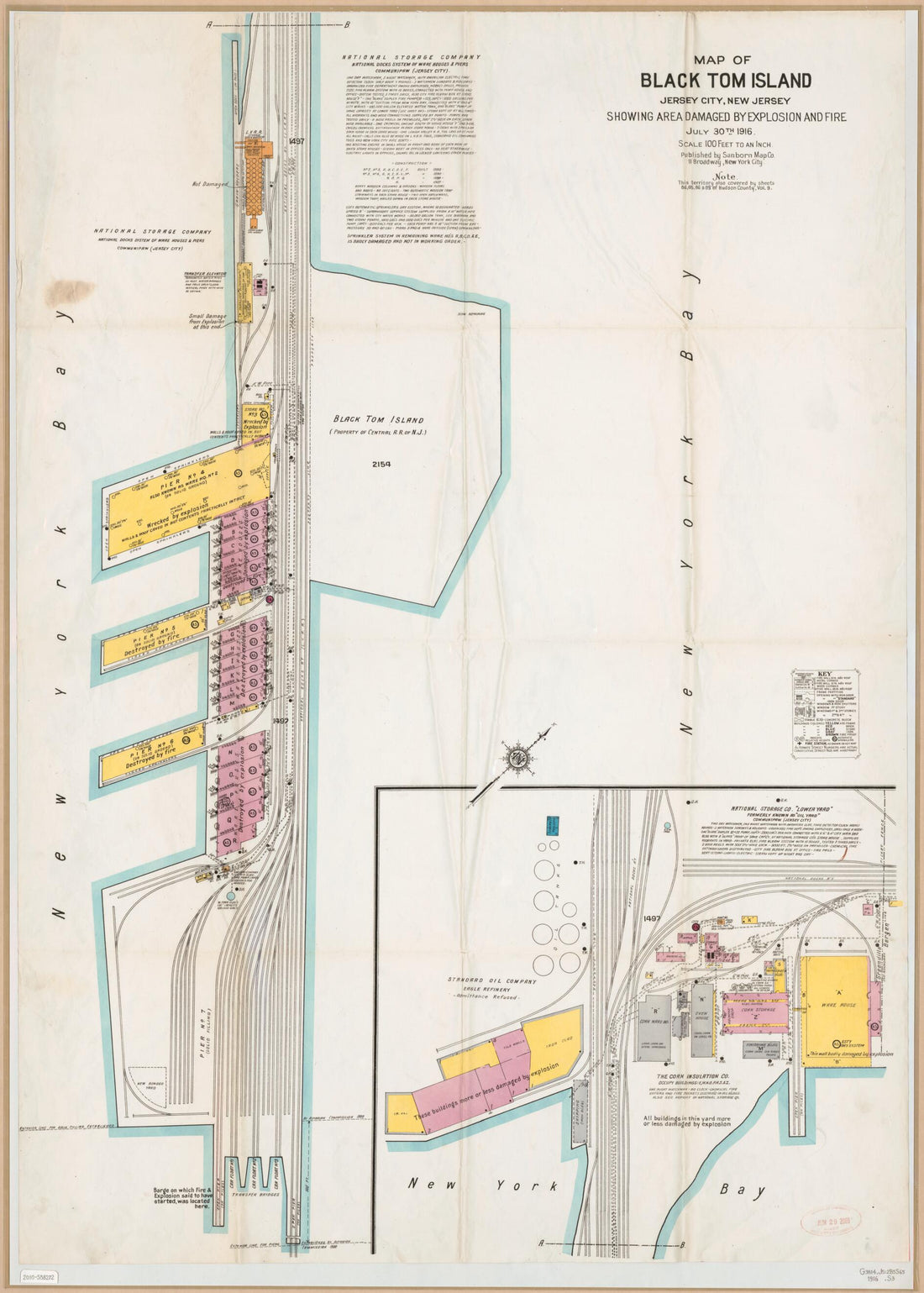 Map of Black Tom Island, Jersey City, New Jersey : Showing Area Damaged by Explosion and Fire, July 30th in 1916
- Regular price
-
From
$32.95 - Regular price
-
$51.99 - Sale price
-
From
$32.95
-
Hydrographic Map of the Potomac River From Aqueduct Bridge, Georgetown, to Long Bridge, Washington, D.C in 1871
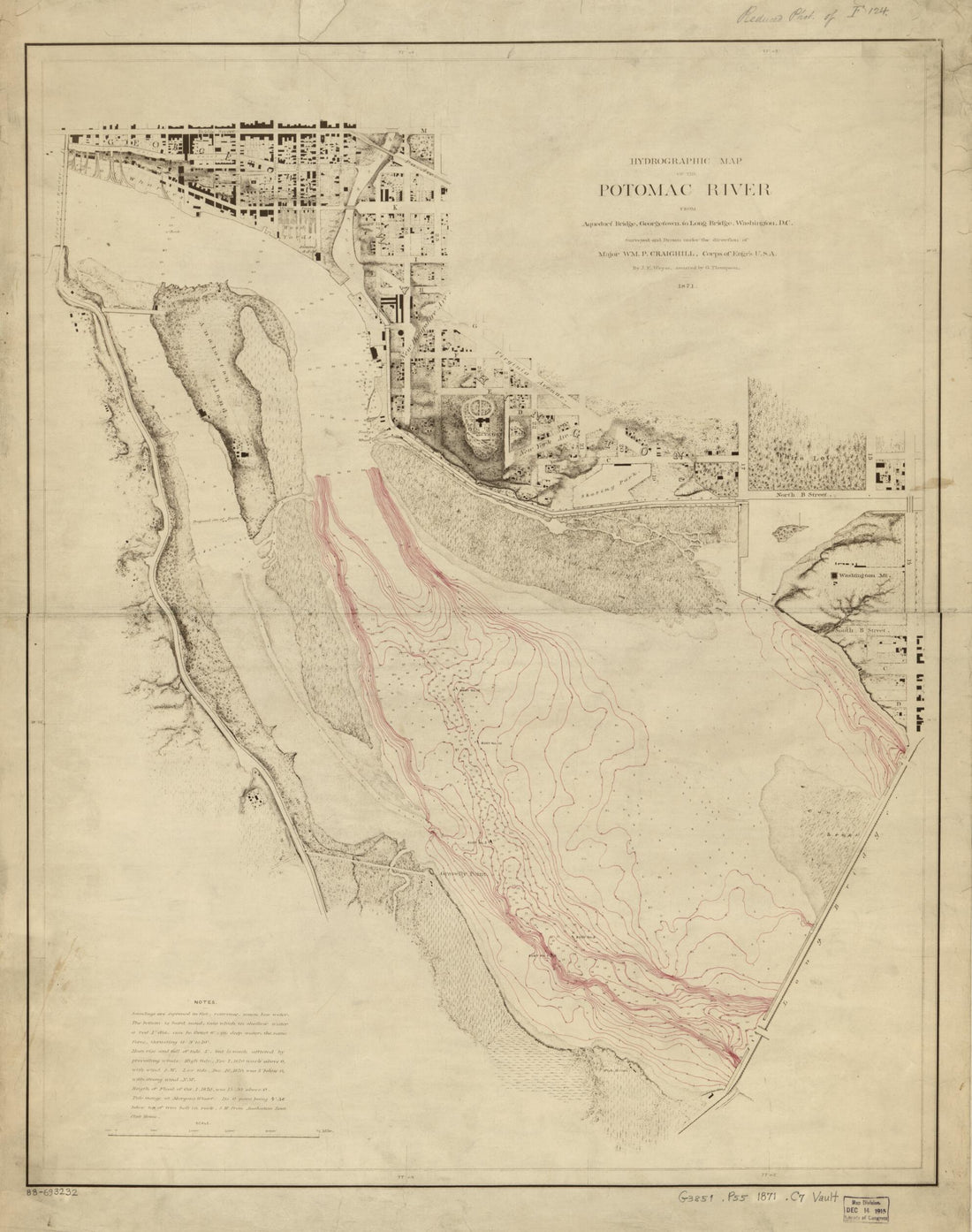 Hydrographic Map of the Potomac River From Aqueduct Bridge, Georgetown, to Long Bridge, Washington, D.C in 1871
- Regular price
-
From
$34.95 - Regular price
-
$49.99 - Sale price
-
From
$34.95
-
Plan De La Rade Et Ville Du Petit Goâve Dans L'isle De St. Domingue 1764
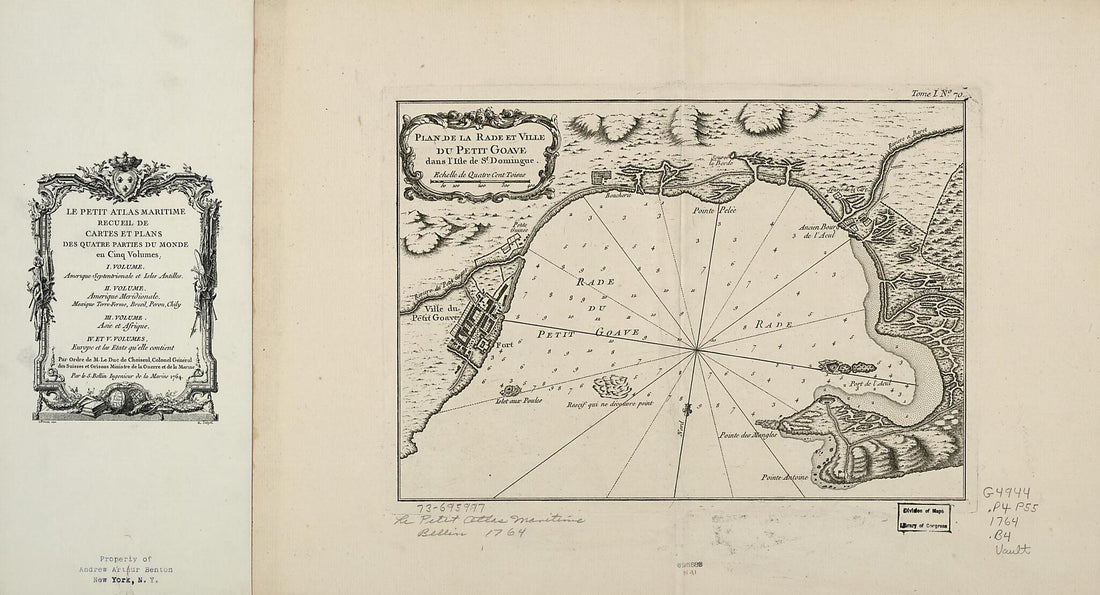 Plan De La Rade Et Ville Du Petit Goâve Dans L'isle De St. Domingue 1764
- Regular price
-
From
$41.95 - Regular price
-
$66.99 - Sale price
-
From
$41.95
-
Havana. Vera Cruz 1758
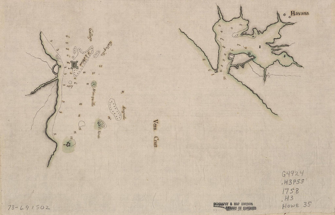 Havana. Vera Cruz 1758
- Regular price
-
From
$19.95 - Regular price
-
$29.95 - Sale price
-
From
$19.95
-
Plan Du Port Royal Dans L'Acadie, Appellé Aujourd'. Par Les Angloise Annapolis Royal 1764
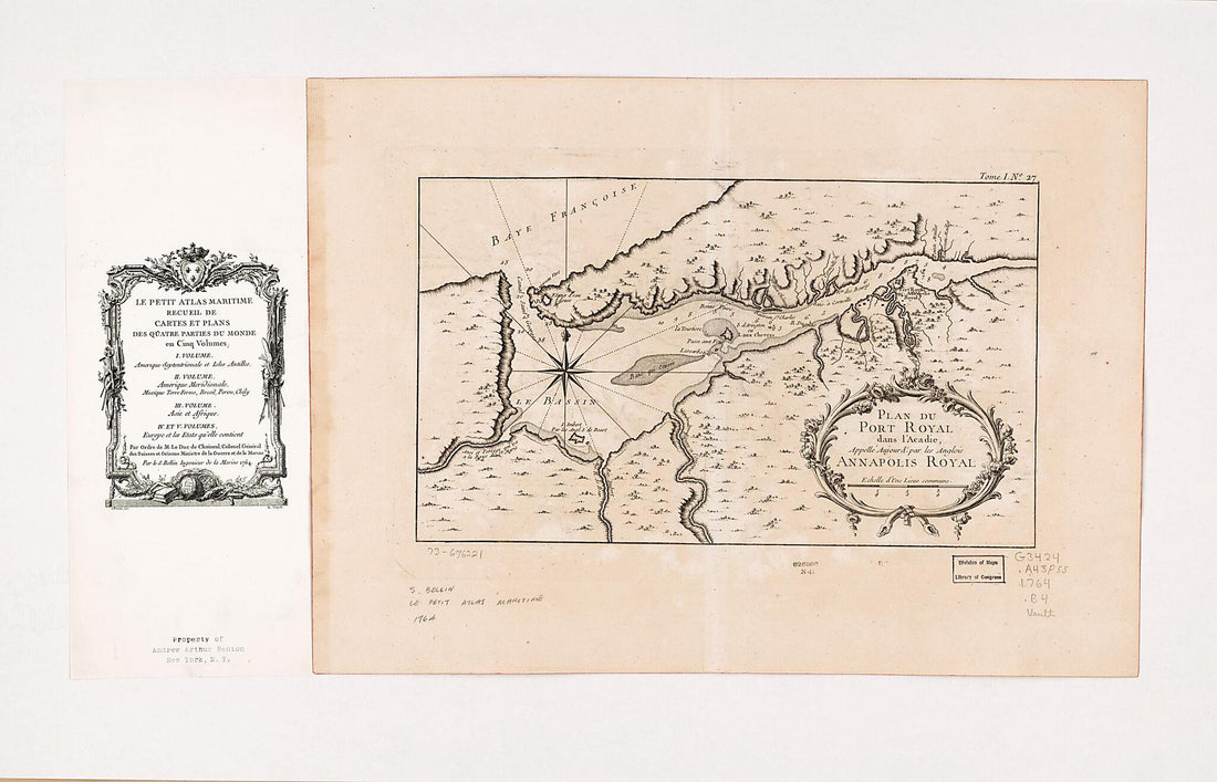 Plan Du Port Royal Dans L'Acadie, Appellé Aujourd'. Par Les Angloise Annapolis Royal 1764
- Regular price
-
From
$41.95 - Regular price
-
$66.99 - Sale price
-
From
$41.95
-
Plan of the Bay, Town, Fortifications, and Environs, of St. Pierre, In the Island of Martinique 1763
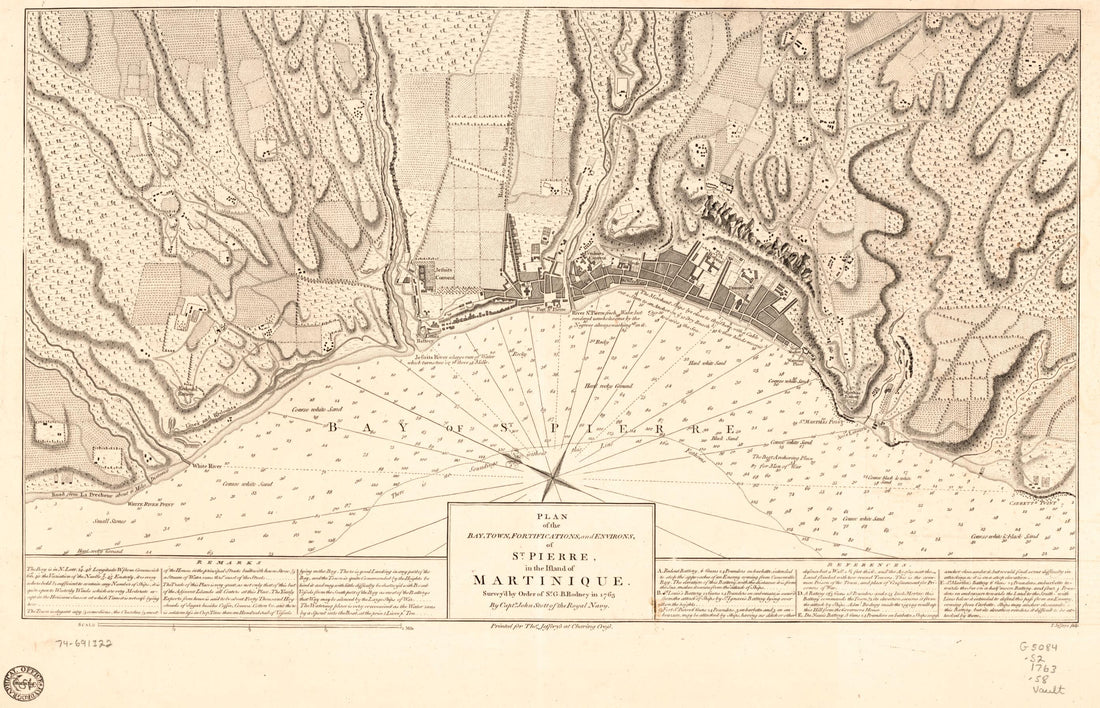 Plan of the Bay, Town, Fortifications, and Environs, of St. Pierre, In the Island of Martinique 1763
- Regular price
-
From
$41.95 - Regular price
-
$66.99 - Sale price
-
From
$41.95
-
Lloyd's Topographical Map of the Hudson River : from the Head of Navigation at Troy to Its Confluence With the Ocean at Sandy Hook : Embracing an Area of 4 Miles On Either Side ... and the River Channel and Mileage. (Topographical Map of the Hudson Ri...
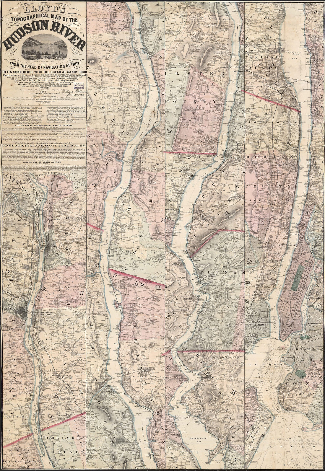 Lloyd's Topographical Map of the Hudson River : from the Head of Navigation at Troy to Its Confluence With the Ocean at Sandy Hook : Embracing an Area of 4 Miles On Either Side ... and the River Channel and Mileage. (Topographical Map of the Hudson Ri...
- Regular price
-
From
$41.95 - Regular price
-
$66.99 - Sale price
-
From
$41.95


