361 products
-
Chesapeake Bay. Sheet 6, from the Mouth of York River to the Entrance to Bay 1863
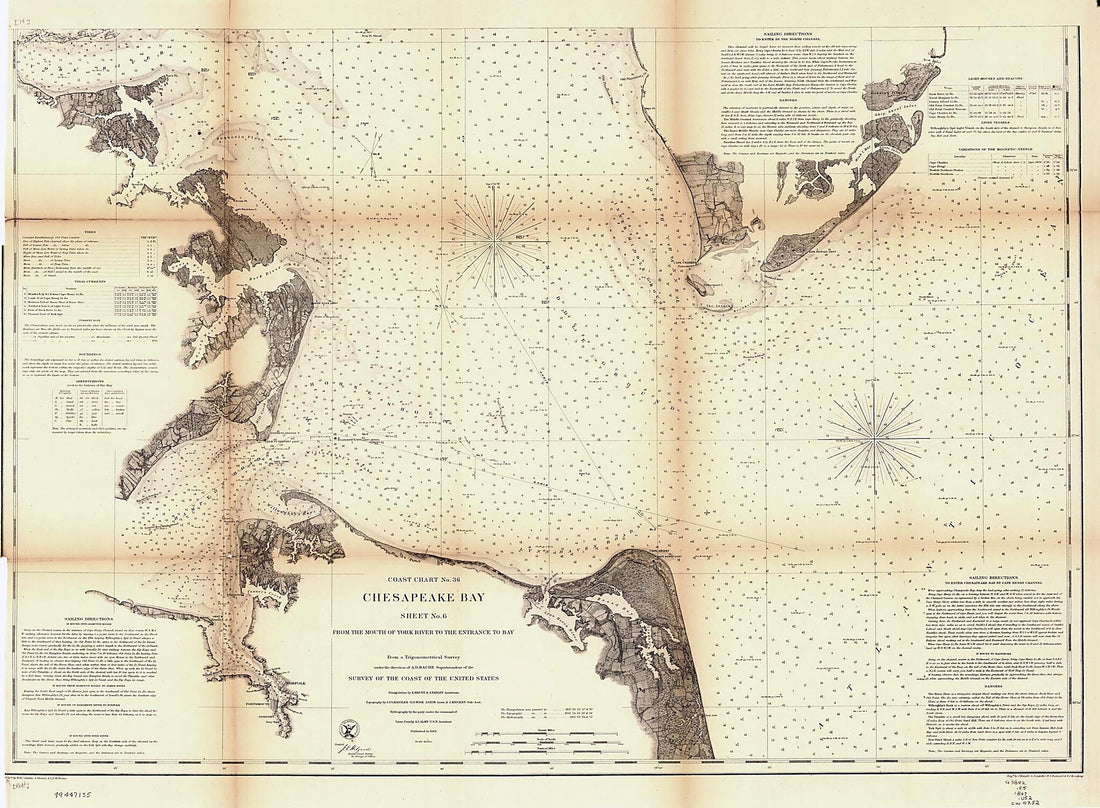 Chesapeake Bay. Sheet 6, from the Mouth of York River to the Entrance to Bay 1863
- Regular price
-
From
$32.95 - Regular price
-
$51.99 - Sale price
-
From
$32.95
-
Map of the Anacostia River Or Eastern Branch Region D.C 1880
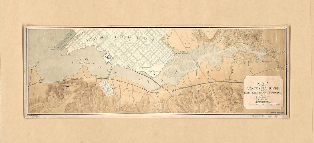 Map of the Anacostia River Or Eastern Branch Region D.C 1880
- Regular price
-
From
$41.95 - Regular price
-
$64.95 - Sale price
-
From
$41.95
-
Lloyd's Official Map of the State of Virginia from Actual Surveys by Order of the Executive, 1828 & 1859 1863
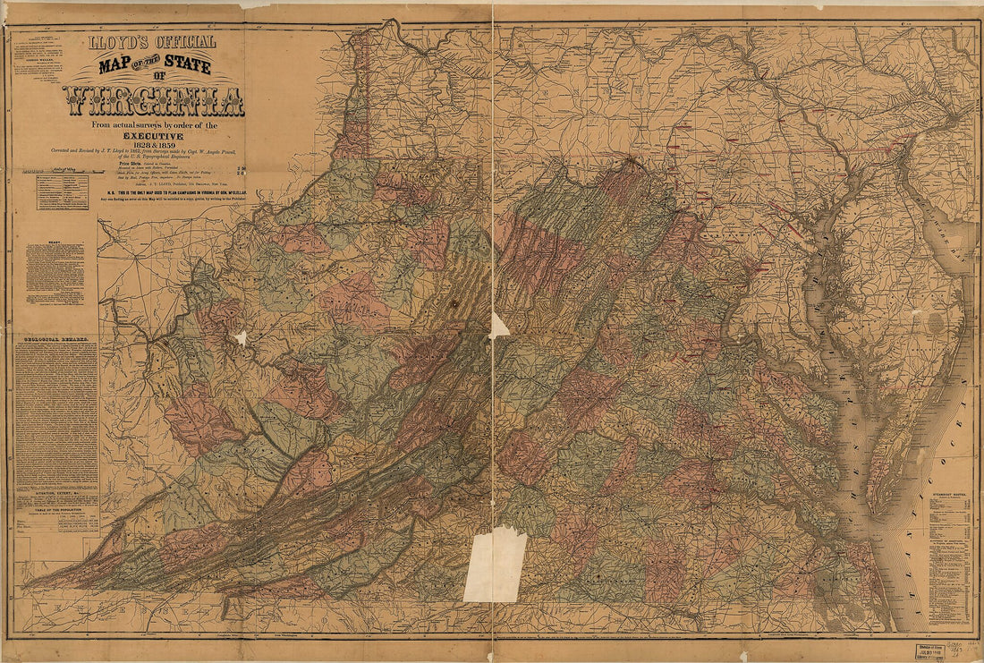 Lloyd's Official Map of the State of Virginia from Actual Surveys by Order of the Executive, 1828 & 1859 1863
- Regular price
-
From
$41.95 - Regular price
-
$66.99 - Sale price
-
From
$41.95
-
Port Facilities at Washington D.C. & Alexandria, Va in 1923
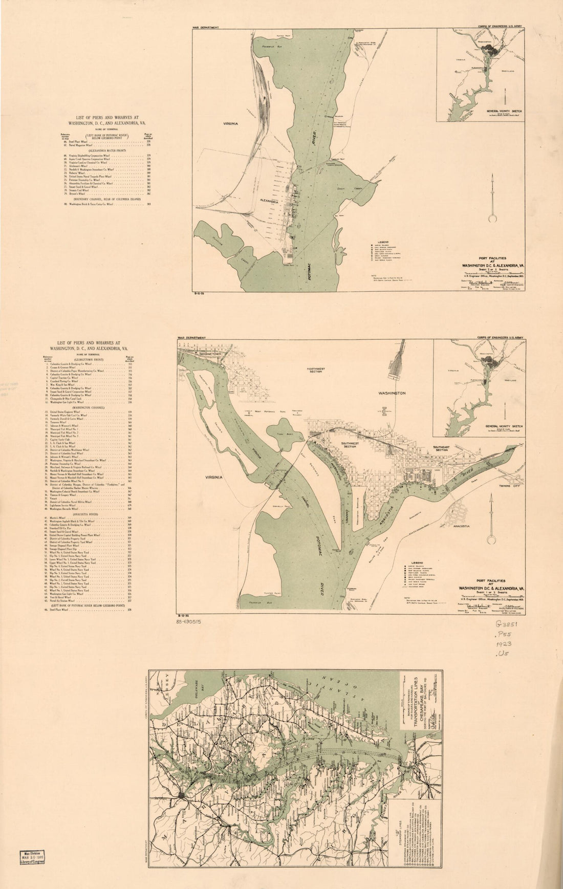 Port Facilities at Washington D.C. & Alexandria, Va in 1923
- Regular price
-
From
$41.95 - Regular price
-
$66.99 - Sale price
-
From
$41.95
-
Bacon's New Map of the Seat of War In Virginia and Maryland. Showing the Interesting Localities Around Richmond, Washington, Baltimore &c in 1864
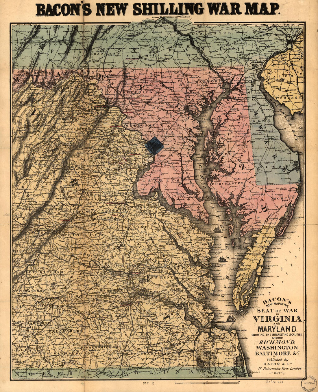 Bacon's New Map of the Seat of War In Virginia and Maryland. Showing the Interesting Localities Around Richmond, Washington, Baltimore &c in 1864
- Regular price
-
From
$34.95 - Regular price
-
$49.99 - Sale price
-
From
$34.95
-
E. Sachse, & Co.'s Bird's Eye View of the City of Baltimore, 1869 in 1870
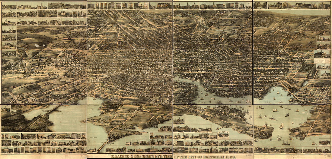 E. Sachse, & Co.'s Bird's Eye View of the City of Baltimore, 1869 in 1870
- Regular price
-
From
$41.95 - Regular price
-
$61.95 - Sale price
-
From
$41.95
-
Martenet's Map of Howard County, Maryland : Drawn Entirely From Actual Surveys in 1860
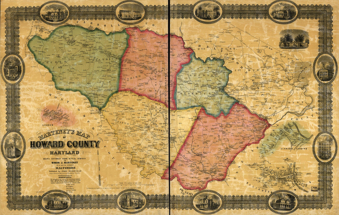 Martenet's Map of Howard County, Maryland : Drawn Entirely From Actual Surveys in 1860
- Regular price
-
From
$41.95 - Regular price
-
$66.99 - Sale price
-
From
$41.95
-
Map of the Battlefield of Antietam in 1898
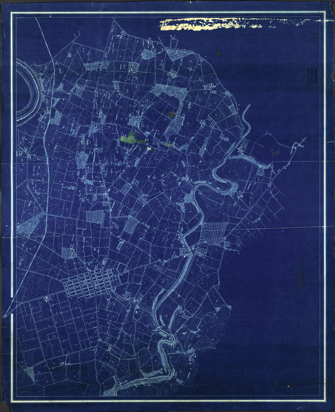 Map of the Battlefield of Antietam in 1898
- Regular price
-
From
$34.95 - Regular price
-
$49.99 - Sale price
-
From
$34.95
-
Map of the City and County of Baltimore, Maryland in 1857
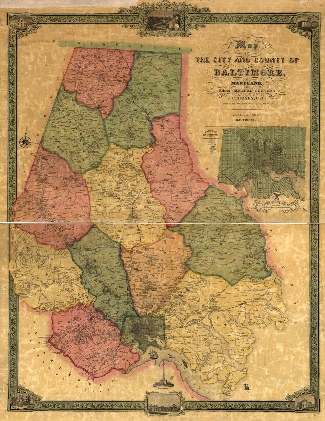 Map of the City and County of Baltimore, Maryland in 1857
- Regular price
-
From
$32.95 - Regular price
-
$51.99 - Sale price
-
From
$32.95
-
Map of the Reading & Columbia Rail Road Connecting New York Via the Jersey Central, Reading and Columbia, With Baltimore and Washington, Together With Western Railroad Connections to Wheeling and Pittsburg sic; Compiled by S. P. Kase 1850
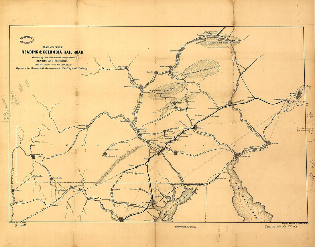 Map of the Reading & Columbia Rail Road Connecting New York Via the Jersey Central, Reading and Columbia, With Baltimore and Washington, Together With Western Railroad Connections to Wheeling and Pittsburg sic; Compiled by S. P. Kase 1850
- Regular price
-
From
$34.95 - Regular price
-
$49.99 - Sale price
-
From
$34.95
-
A Map of the Most Inhabited Part of Virginia Containing the Whole Province of Maryland With Part of Pensilvania, New Jersey and North Carolina in 1775
 A Map of the Most Inhabited Part of Virginia Containing the Whole Province of Maryland With Part of Pensilvania, New Jersey and North Carolina in 1775
- Regular price
-
From
$41.95 - Regular price
-
$66.99 - Sale price
-
From
$41.95


