361 products
-
A Plan of the West Line Or Parallel of Latitude, Which Is the Boundary Between the Provinces of Maryland and Pensylvania : a Plan of the Boundary Lines Between the Province of Maryland and the Three Lower Counties On Delaware With Part of the Parallel...
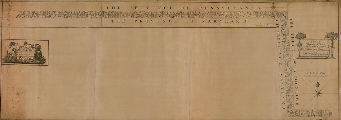 A Plan of the West Line Or Parallel of Latitude, Which Is the Boundary Between the Provinces of Maryland and Pensylvania : a Plan of the Boundary Lines Between the Province of Maryland and the Three Lower Counties On Delaware With Part of the Parallel...
- Regular price
-
From
$41.95 - Regular price
-
$66.99 - Sale price
-
From
$41.95
-
Part of Widows Mite Lying In the County of Washington D.C. ; the Above 2 Plats Represent Two Separate Parts of That Portion of a Tract of Land Called Josephs Park, Lying In Montg. County Md 1852
 Part of Widows Mite Lying In the County of Washington D.C. ; the Above 2 Plats Represent Two Separate Parts of That Portion of a Tract of Land Called Josephs Park, Lying In Montg. County Md 1852
- Regular price
-
From
$32.95 - Regular price
-
$51.99 - Sale price
-
From
$32.95
-
Map of the Located Route of the Metropolitan Rail Road and the Adjacent Country Comprising the District of Columbia and the Counties of Montgomery, Frederick, and Washington In the State of Maryland, Francis Dodge President M.R.R. Company, Edmund Fren...
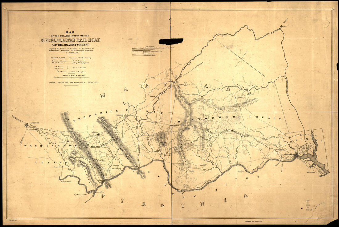 Map of the Located Route of the Metropolitan Rail Road and the Adjacent Country Comprising the District of Columbia and the Counties of Montgomery, Frederick, and Washington In the State of Maryland, Francis Dodge President M.R.R. Company, Edmund Fren...
- Regular price
-
From
$41.95 - Regular price
-
$66.99 - Sale price
-
From
$41.95
-
Map of the State of Maryland Laid Down from an Actual Survey of All the Principal Waters, Public Roads, and Divisions of the Counties Therein; Describing the Situation of the Cities, Towns, Villages, Houses of Worship and Other Public Buildings, Furna...
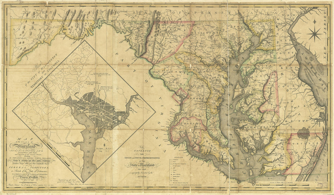 Map of the State of Maryland Laid Down from an Actual Survey of All the Principal Waters, Public Roads, and Divisions of the Counties Therein; Describing the Situation of the Cities, Towns, Villages, Houses of Worship and Other Public Buildings, Furna...
- Regular price
-
From
$41.95 - Regular price
-
$66.99 - Sale price
-
From
$41.95
-
New Map of the Seat of War In Virginia and Maryland 1863
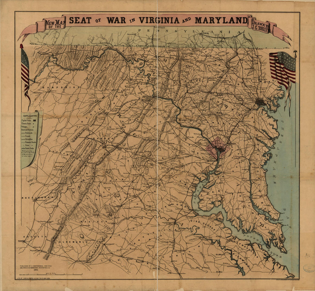 New Map of the Seat of War In Virginia and Maryland 1863
- Regular price
-
From
$34.95 - Regular price
-
$49.99 - Sale price
-
From
$34.95
-
A Map of the State of Delaware and the Eastern Shore of Maryland : With the Soundings of the Bay of Delaware 1801
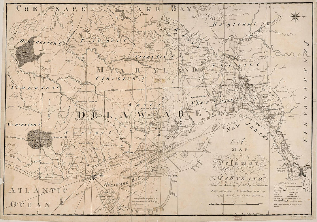 A Map of the State of Delaware and the Eastern Shore of Maryland : With the Soundings of the Bay of Delaware 1801
- Regular price
-
From
$41.95 - Regular price
-
$66.99 - Sale price
-
From
$41.95
-
Atlas of Wicomico, Somerset & Worcester Countries, Maryland. Compiled, Drawn and Published from Actual Surveys 1877
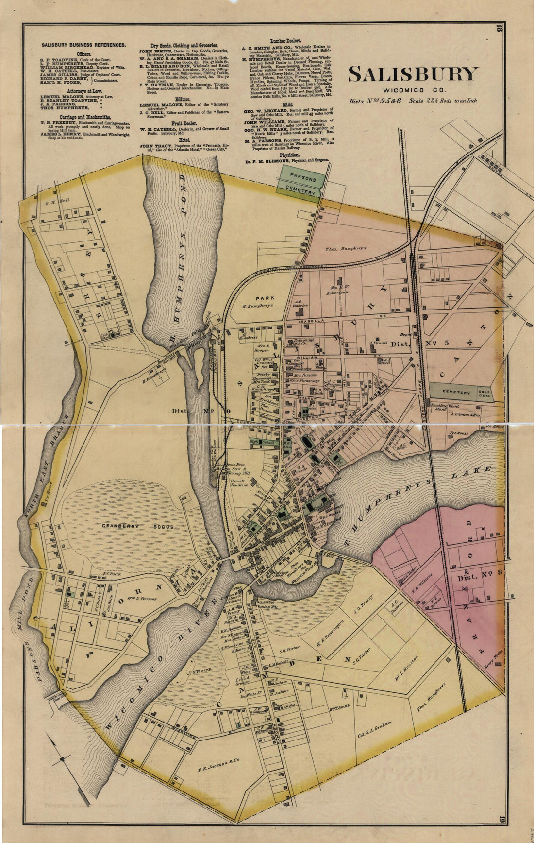 Atlas of Wicomico, Somerset & Worcester Countries, Maryland. Compiled, Drawn and Published from Actual Surveys 1877
- Regular price
-
From
$31.95 - Regular price
-
$48.95 - Sale price
-
From
$31.95
-
Map of the Battlefield of Antietam, Sept. 17, 1862
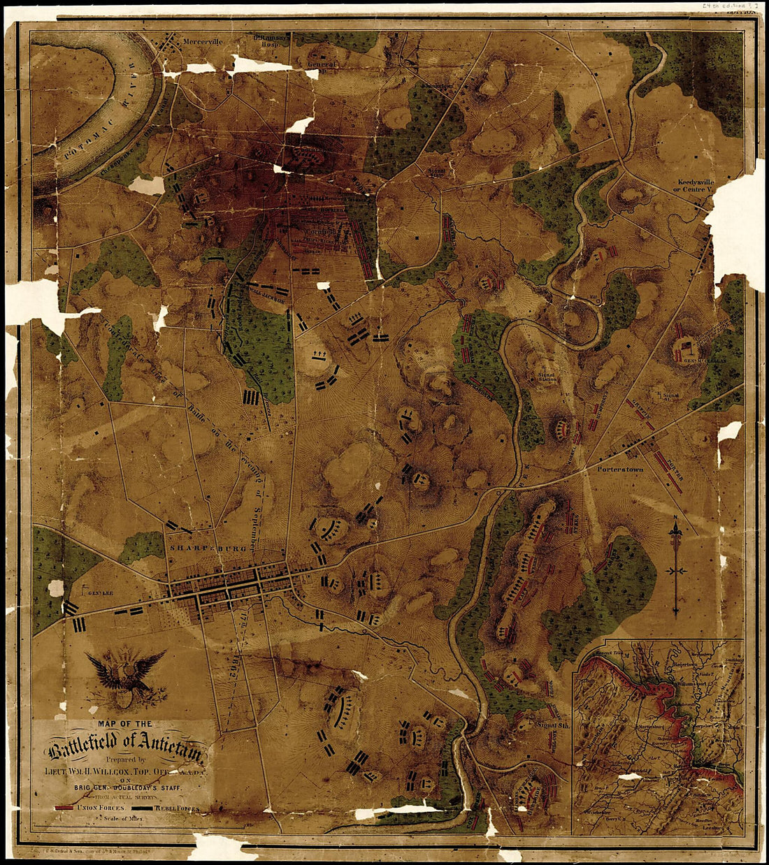 Map of the Battlefield of Antietam, Sept. 17, 1862
- Regular price
-
From
$34.95 - Regular price
-
$49.99 - Sale price
-
From
$34.95
-
Plan of Cantonment Sprague Near Washington D.C. : Occupied by 1st Regiment R.I. Detached Militia (Cantonment Sprague) 1861
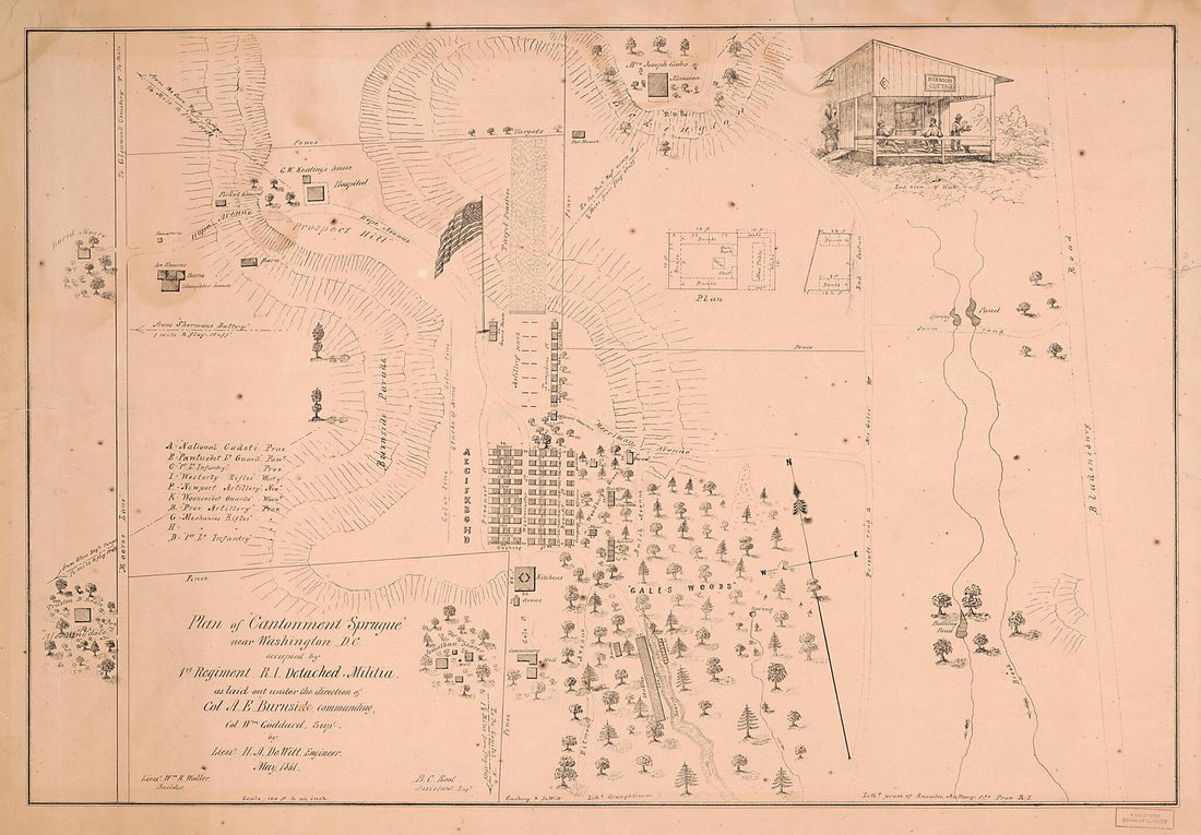 Plan of Cantonment Sprague Near Washington D.C. : Occupied by 1st Regiment R.I. Detached Militia (Cantonment Sprague) 1861
- Regular price
-
From
$41.95 - Regular price
-
$66.99 - Sale price
-
From
$41.95
-
Martenet's Map of Prince George's County, Maryland 1861
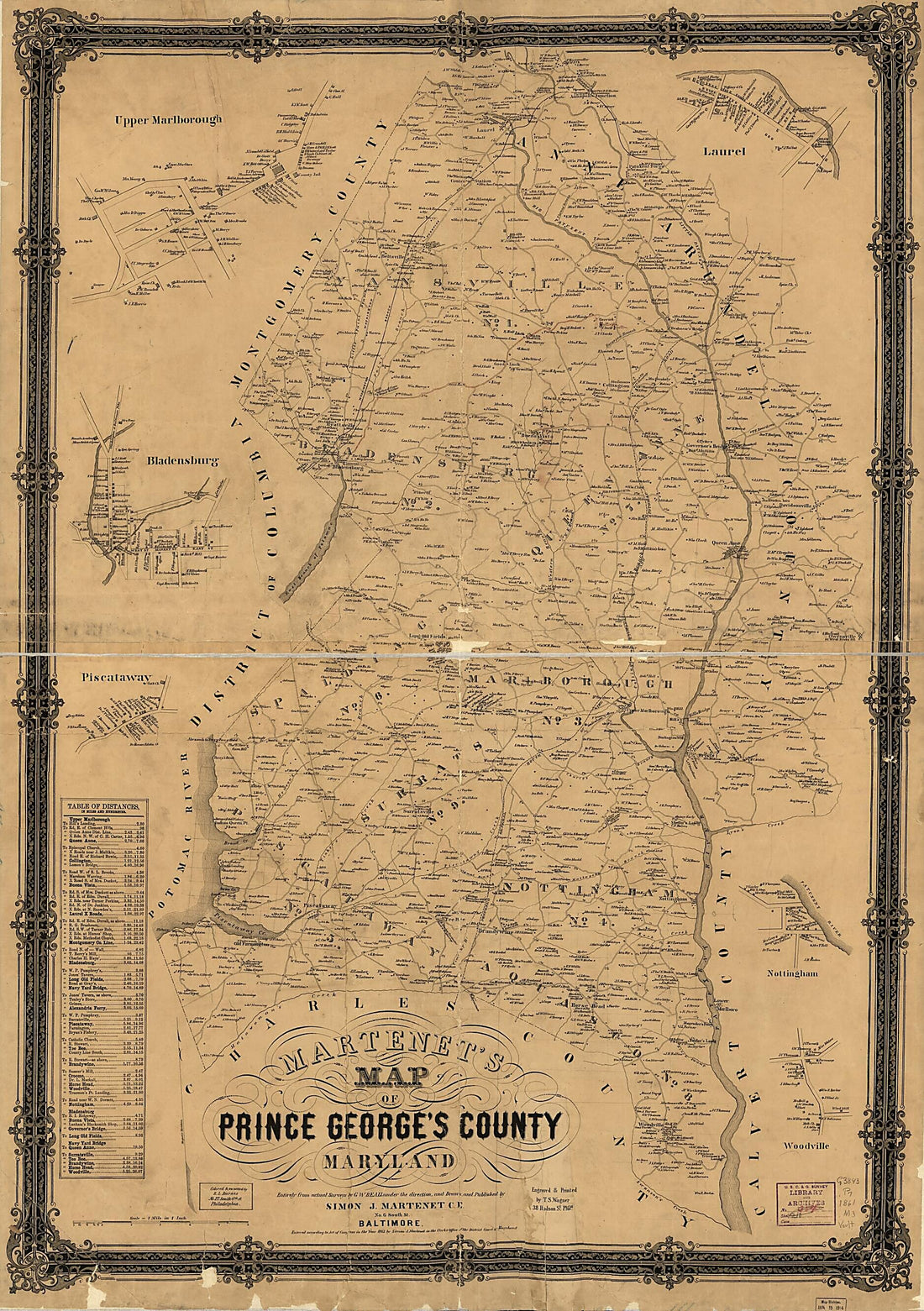 Martenet's Map of Prince George's County, Maryland 1861
- Regular price
-
From
$41.95 - Regular price
-
$66.99 - Sale price
-
From
$41.95
-
Map of Baltimore : With New Precincts 1880
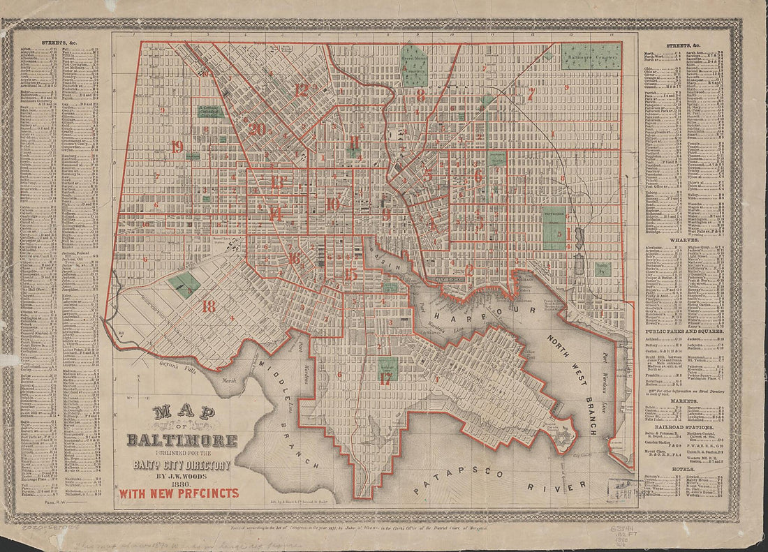 Map of Baltimore : With New Precincts 1880
- Regular price
-
From
$32.95 - Regular price
-
$51.99 - Sale price
-
From
$32.95


