361 products
-
Map of Virginia and Maryland : Constructed from the Latest Authorities. (Virginia & Maryland) 1834
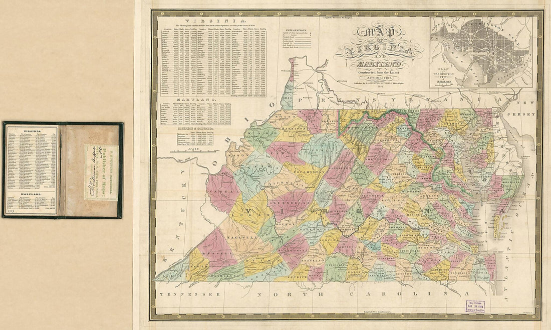 Map of Virginia and Maryland : Constructed from the Latest Authorities. (Virginia & Maryland) 1834
- Regular price
-
From
$41.95 - Regular price
-
$66.99 - Sale price
-
From
$41.95
-
Northwest, Or No. 1, Sheet of Preliminary Map of Antietam (Sharpsburg) Battlefield. Enlarged from the Michler Map of the War Records Atlas With Corrections and Additions 1894
 Northwest, Or No. 1, Sheet of Preliminary Map of Antietam (Sharpsburg) Battlefield. Enlarged from the Michler Map of the War Records Atlas With Corrections and Additions 1894
- Regular price
-
From
$34.95 - Regular price
-
$49.99 - Sale price
-
From
$34.95
-
Map of the Battlefield of Antietam 1862
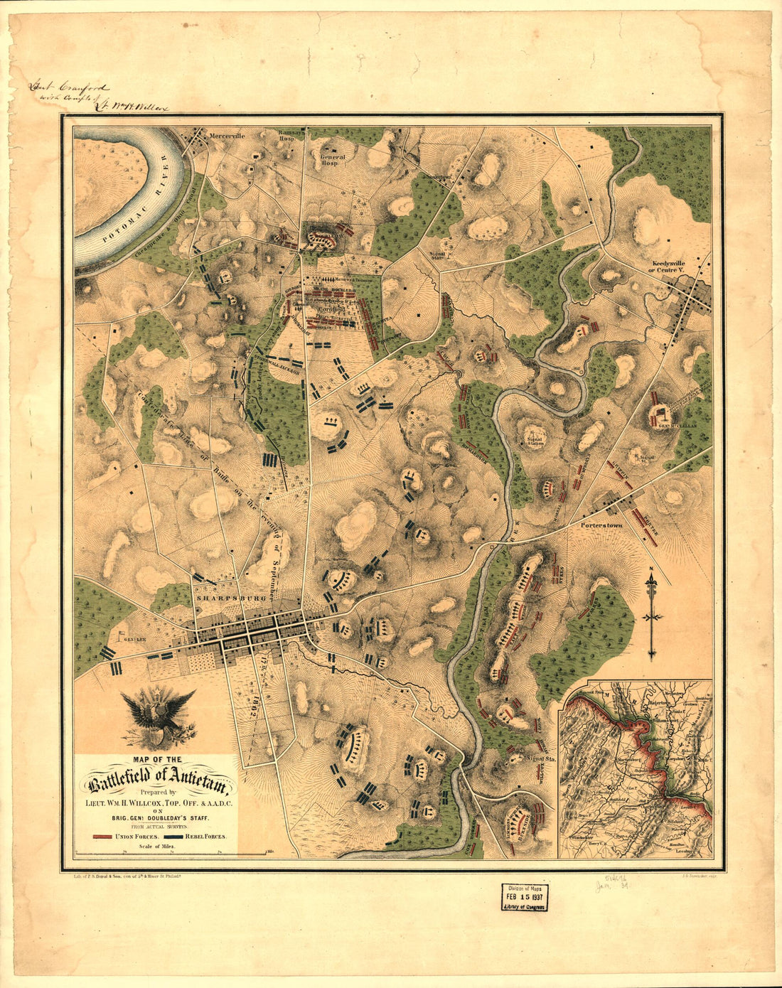 Map of the Battlefield of Antietam 1862
- Regular price
-
From
$34.95 - Regular price
-
$49.99 - Sale price
-
From
$34.95
-
Frederick County, Maryland 1861
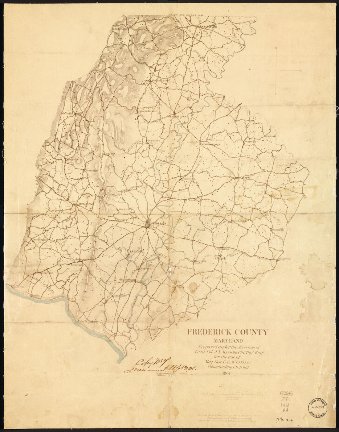 Frederick County, Maryland 1861
- Regular price
-
From
$34.95 - Regular price
-
$49.99 - Sale price
-
From
$34.95
-
Bird's Eye View of Maryland and Virginia 1861
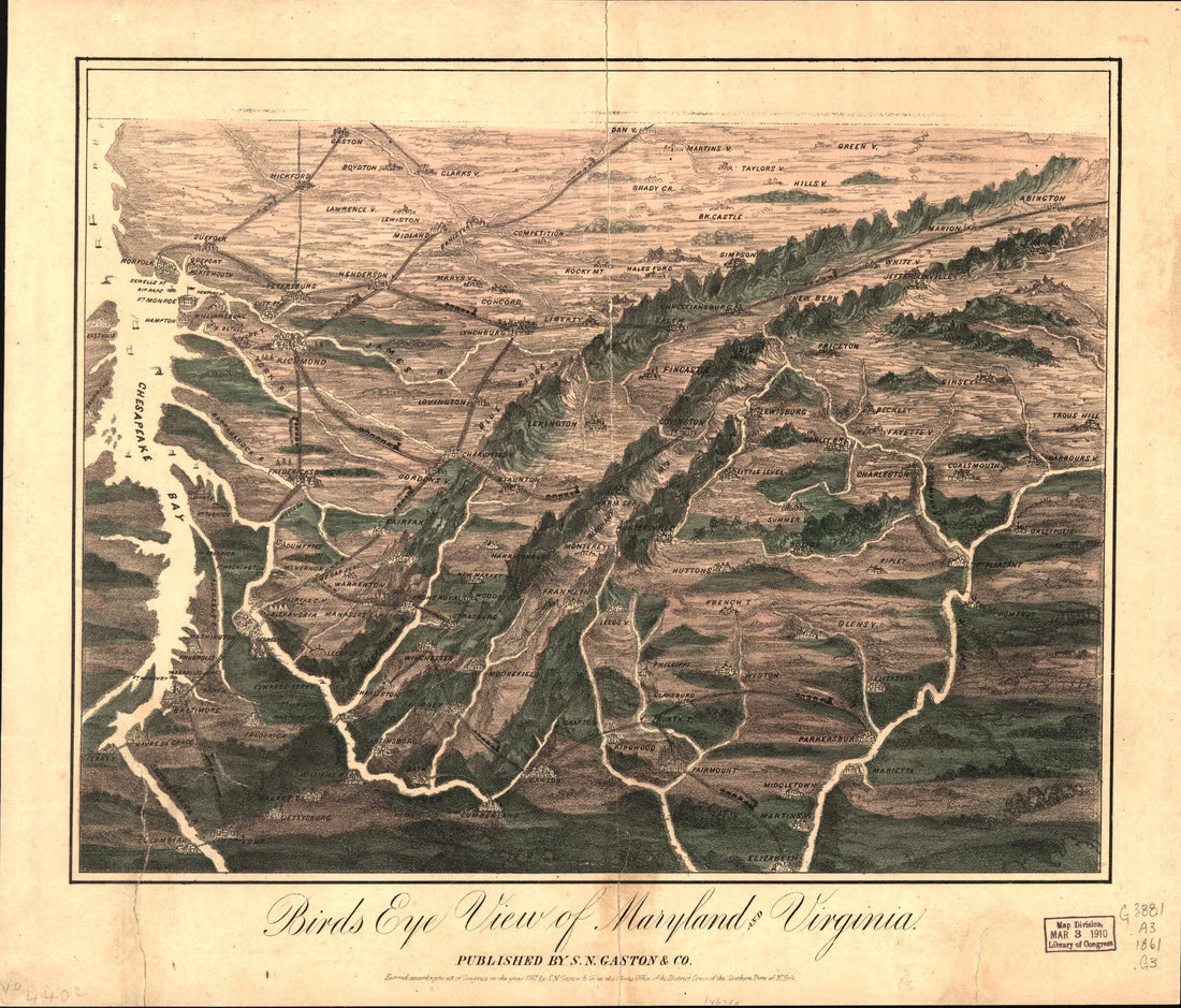 Bird's Eye View of Maryland and Virginia 1861
- Regular price
-
From
$20.95 - Regular price
-
$32.95 - Sale price
-
From
$20.95
-
Map of Carroll County, Md., Showing Rural Delivery Service 1911
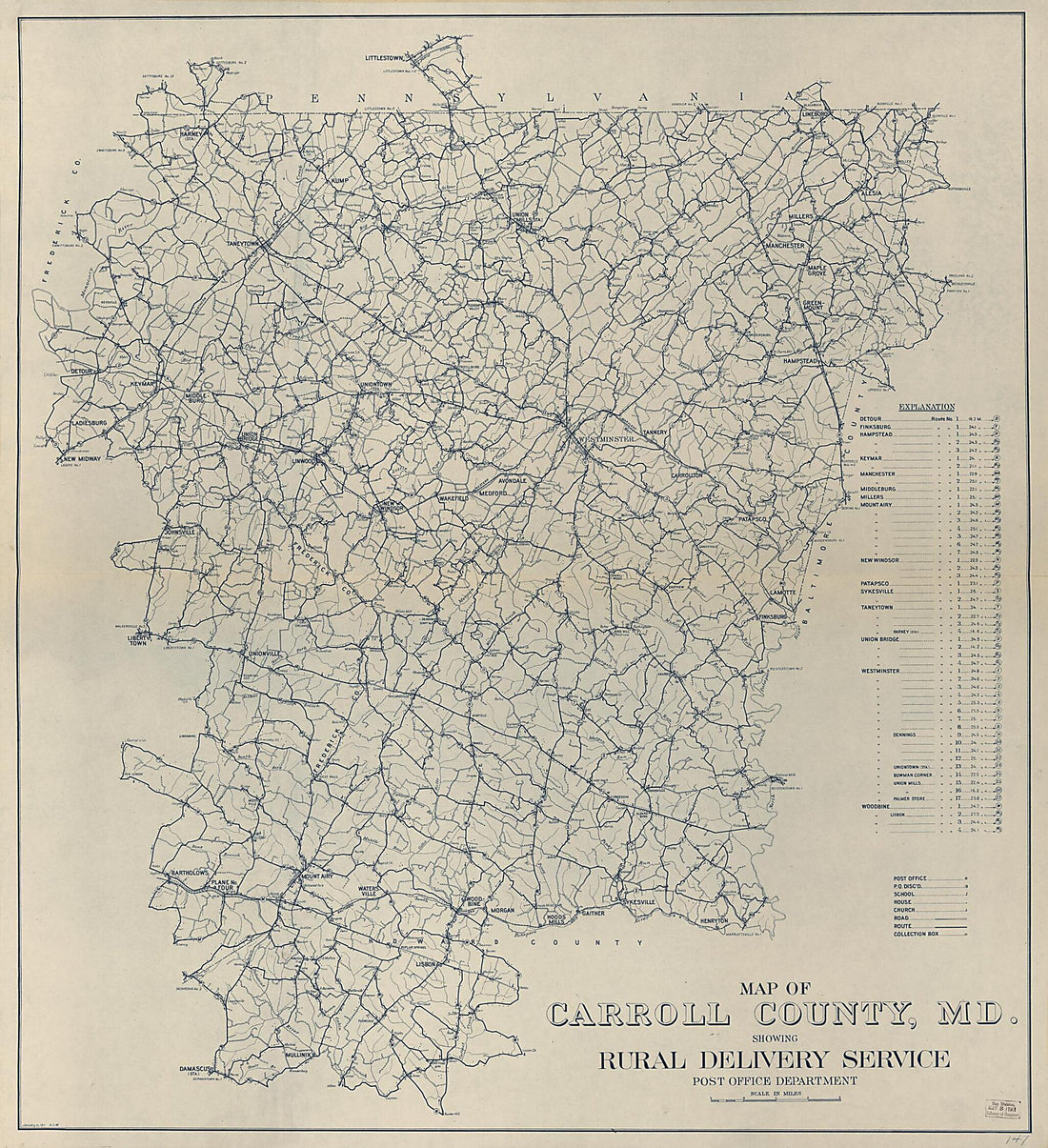 Map of Carroll County, Md., Showing Rural Delivery Service 1911
- Regular price
-
From
$34.95 - Regular price
-
$49.99 - Sale price
-
From
$34.95
-
Map and Directory of Camp Patterson Park Baltimore, Maryland One Hundred and Tenth Regiment of New York Volunteers. Col. D. C. Littlejohn, Commanding 1862
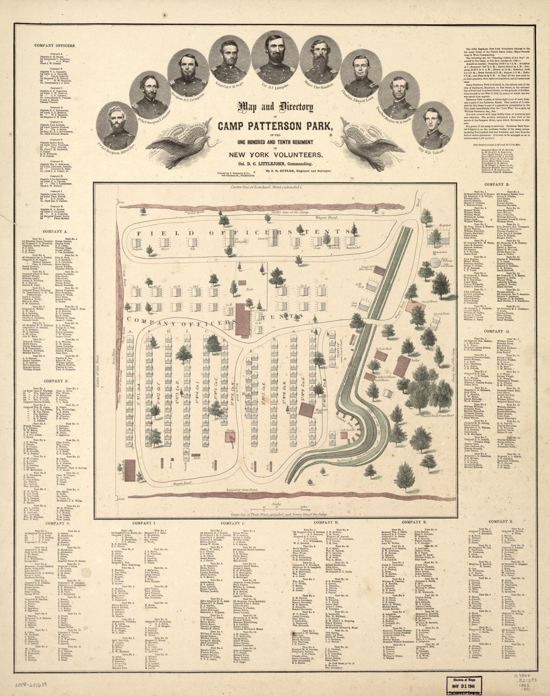 Map and Directory of Camp Patterson Park Baltimore, Maryland One Hundred and Tenth Regiment of New York Volunteers. Col. D. C. Littlejohn, Commanding 1862
- Regular price
-
From
$34.95 - Regular price
-
$49.99 - Sale price
-
From
$34.95
-
The State of Maryland from the Best Authorities 1795
 The State of Maryland from the Best Authorities 1795
- Regular price
-
From
$24.95 - Regular price
-
$38.95 - Sale price
-
From
$24.95
-
A Map of the Most Inhabited Part of Virginia Containing the Whole Province of Maryland With Part of Pensilvania, New Jersey and North Carolina 1755
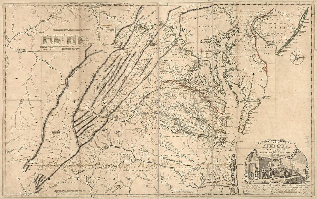 A Map of the Most Inhabited Part of Virginia Containing the Whole Province of Maryland With Part of Pensilvania, New Jersey and North Carolina 1755
- Regular price
-
From
$41.95 - Regular price
-
$66.99 - Sale price
-
From
$41.95
-
A New and Accurate Map of Virginia & Maryland : Laid Down from Surveys and Regulated Astronl. Observatns 1752
 A New and Accurate Map of Virginia & Maryland : Laid Down from Surveys and Regulated Astronl. Observatns 1752
- Regular price
-
From
$19.95 - Regular price
-
$29.95 - Sale price
-
From
$19.95
-
Baltimore, Camp Belger, Camp Belger (Baltimore), Maryland - Col. Elisha B. Smith, Lieut. Col. Sam. R. Per Lee, Major Henry B. Morse 1862
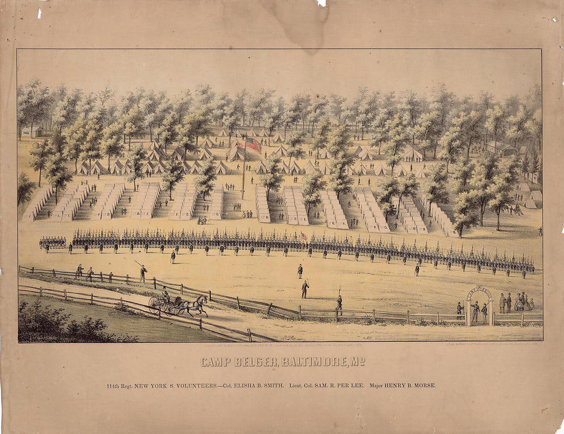 Baltimore, Camp Belger, Camp Belger (Baltimore), Maryland - Col. Elisha B. Smith, Lieut. Col. Sam. R. Per Lee, Major Henry B. Morse 1862
- Regular price
-
From
$32.95 - Regular price
-
$51.99 - Sale price
-
From
$32.95
-
Preliminary Field Sketch of Part of the Shepherdstown Road East of Sharpsburg 1895
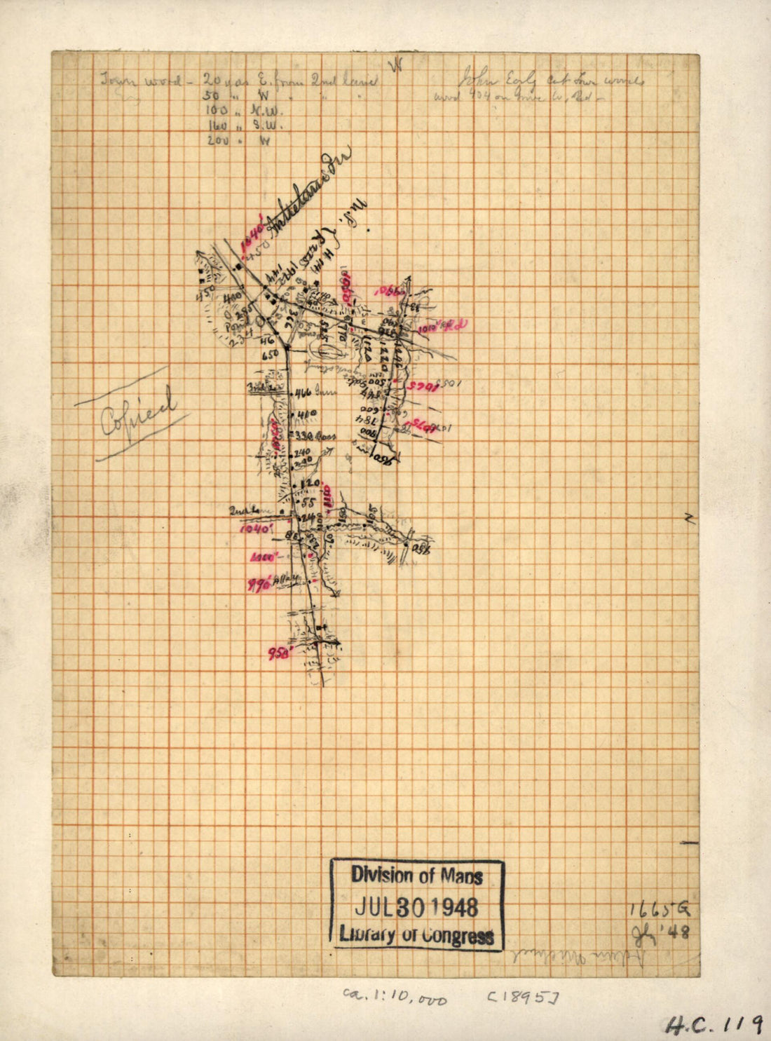 Preliminary Field Sketch of Part of the Shepherdstown Road East of Sharpsburg 1895
- Regular price
-
From
$19.95 - Regular price
-
$29.95 - Sale price
-
From
$19.95


