361 products
-
No. 1. County Land from N.E. Mile Stone & John C. Rives' Farm : Washington D.C. and Prince Georges County, Md. ; No. 2. Part of Long Meadows : Washington D.C. 1840
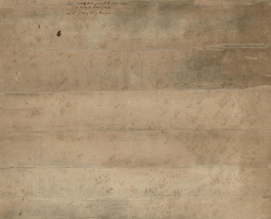 No. 1. County Land from N.E. Mile Stone & John C. Rives' Farm : Washington D.C. and Prince Georges County, Md. ; No. 2. Part of Long Meadows : Washington D.C. 1840
- Regular price
-
From
$34.95 - Regular price
-
$49.99 - Sale price
-
From
$34.95
-
The Harbor of Annapolis : Founded Upon a Trigonometrical Survey 1874
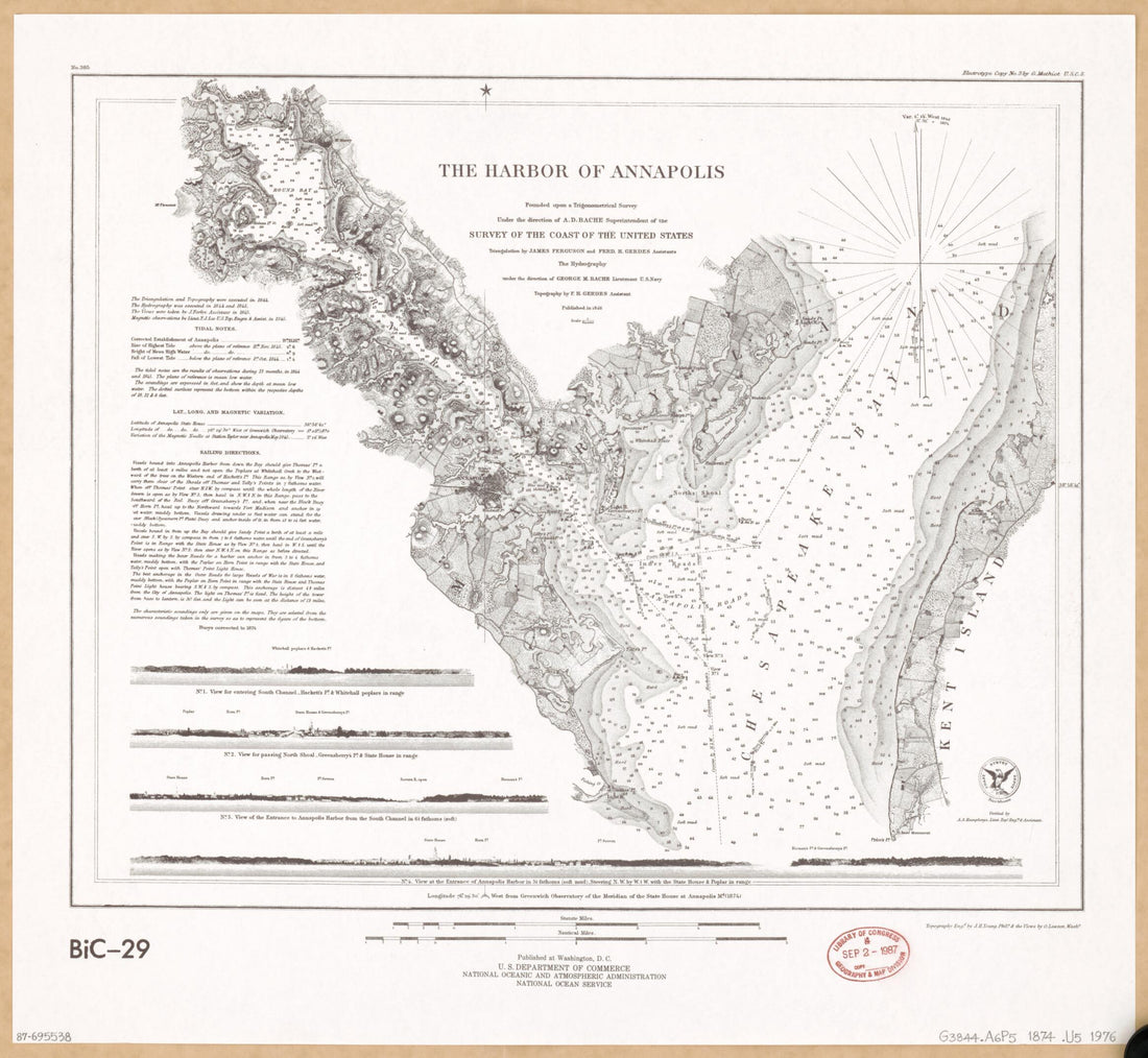 The Harbor of Annapolis : Founded Upon a Trigonometrical Survey 1874
- Regular price
-
From
$34.95 - Regular price
-
$49.99 - Sale price
-
From
$34.95
-
Map of the State of Maryland in 1841
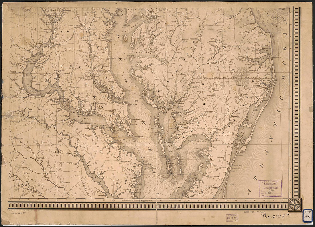 Map of the State of Maryland in 1841
- Regular price
-
From
$41.95 - Regular price
-
$66.99 - Sale price
-
From
$41.95
-
Part of Carroll County, Maryland 1862
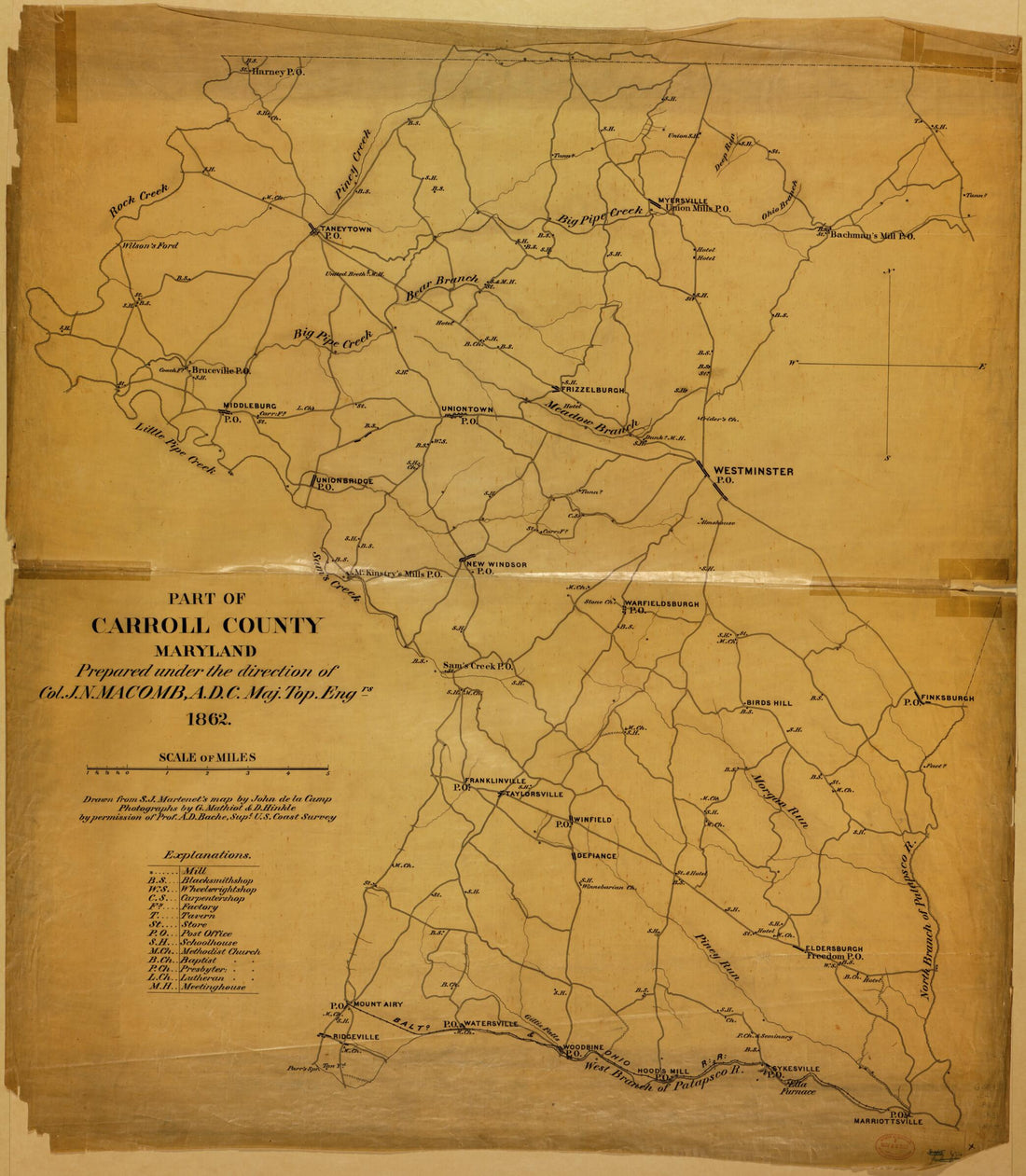 Part of Carroll County, Maryland 1862
- Regular price
-
From
$34.95 - Regular price
-
$49.99 - Sale price
-
From
$34.95
-
Johnson's Pennsylvania, Virginia, Delaware, and Maryland 1862
 Johnson's Pennsylvania, Virginia, Delaware, and Maryland 1862
- Regular price
-
From
$41.95 - Regular price
-
$66.99 - Sale price
-
From
$41.95
-
Western Turnpike Road 1831
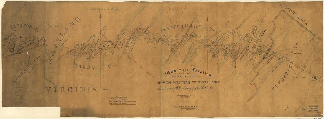 Western Turnpike Road 1831
- Regular price
-
From
$41.95 - Regular price
-
$66.99 - Sale price
-
From
$41.95
-
Dominia Anglorum In America Septentrionali 1759
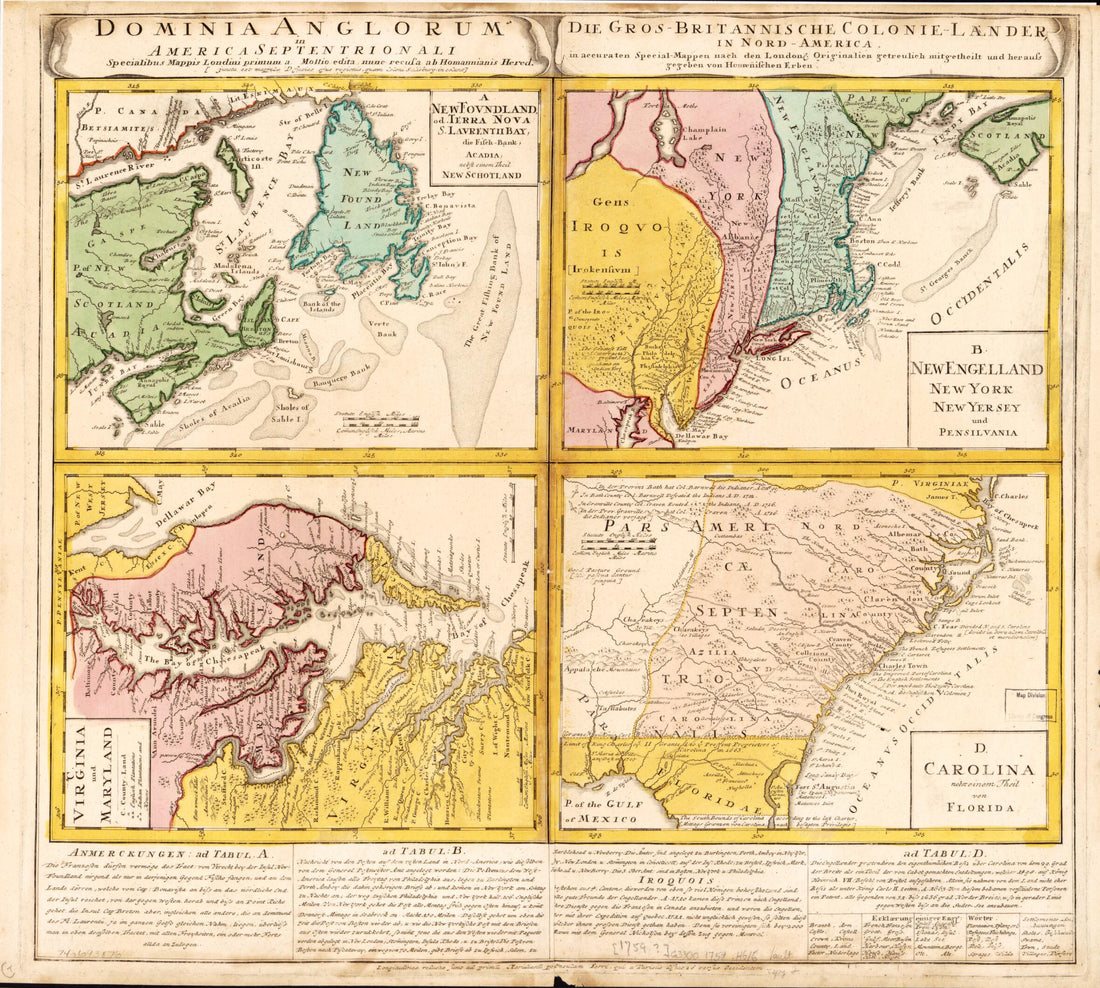 Dominia Anglorum In America Septentrionali 1759
- Regular price
-
From
$34.95 - Regular price
-
$49.99 - Sale price
-
From
$34.95
-
The State of Maryland from the Best Authorities 1795
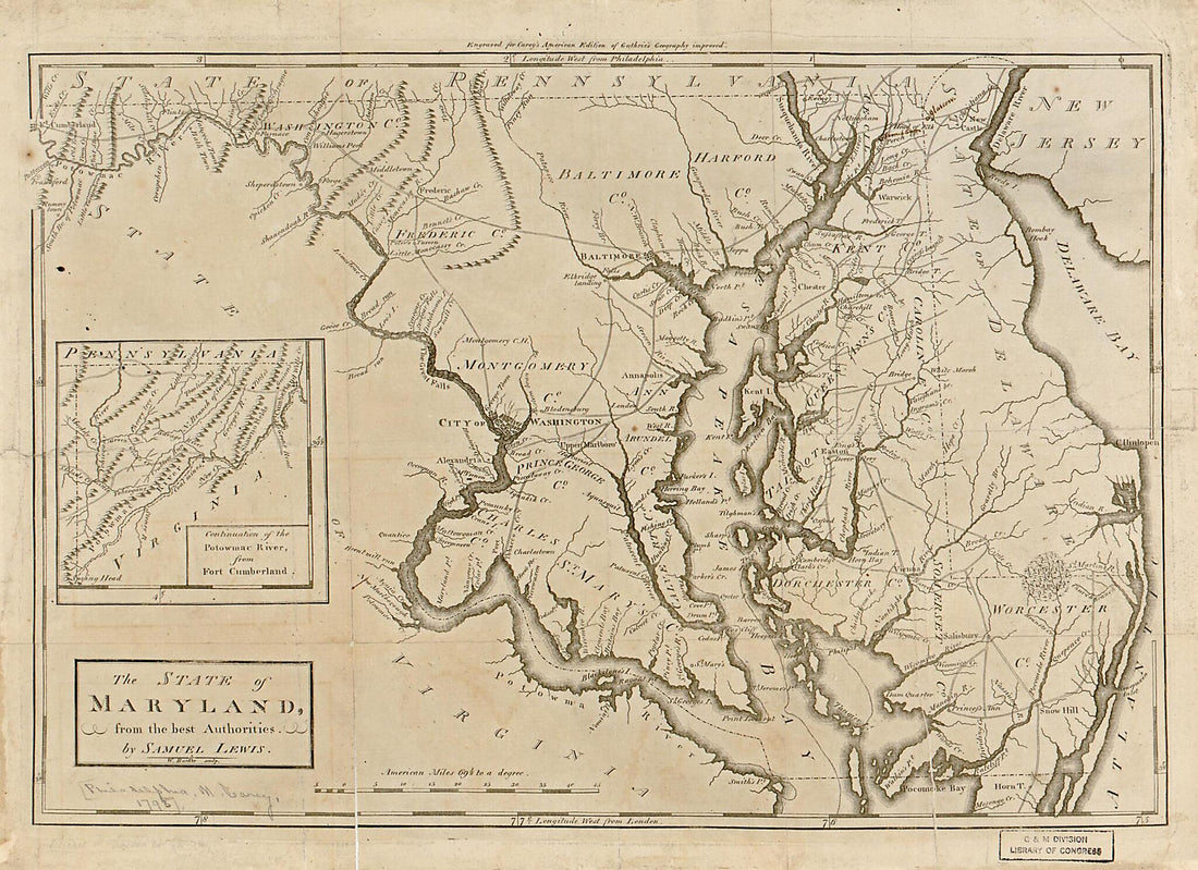 The State of Maryland from the Best Authorities 1795
- Regular price
-
From
$23.95 - Regular price
-
$36.95 - Sale price
-
From
$23.95
-
Map Showing the Southern Maryland Railroad and Its Connections : North, South, East, and West 1881
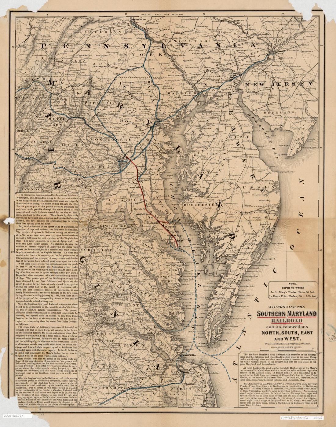 Map Showing the Southern Maryland Railroad and Its Connections : North, South, East, and West 1881
- Regular price
-
From
$34.95 - Regular price
-
$49.99 - Sale price
-
From
$34.95
-
Plan of Charles Town, Maryland 1770
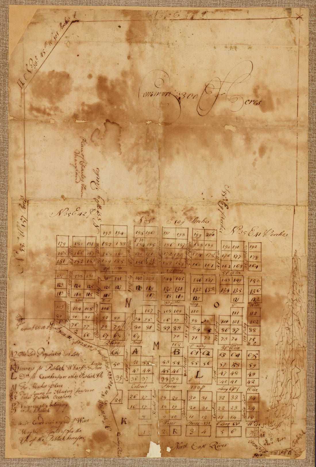 Plan of Charles Town, Maryland 1770
- Regular price
-
From
$37.95 - Regular price
-
$57.95 - Sale price
-
From
$37.95
-
A New and Accurate Map of Virginia & Maryland 1752
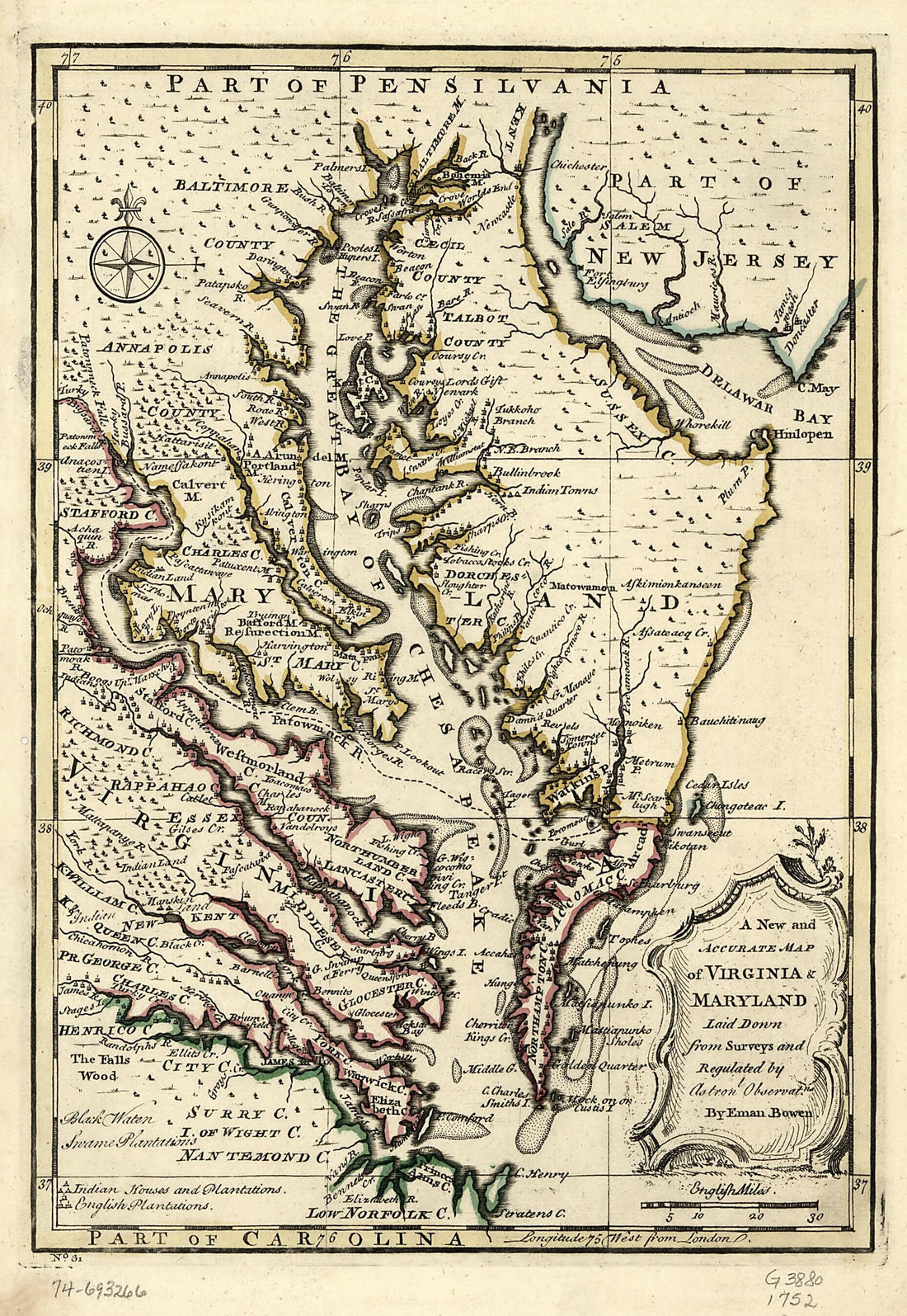 A New and Accurate Map of Virginia & Maryland 1752
- Regular price
-
From
$19.95 - Regular price
-
$29.95 - Sale price
-
From
$19.95
-
Pennsylvania Boundary Used As Trial Exhibits In the 1735 Court Suit Brought by the Penns Against Lord Baltimore to Determine the Official Interprovincial Boundary Line 1732
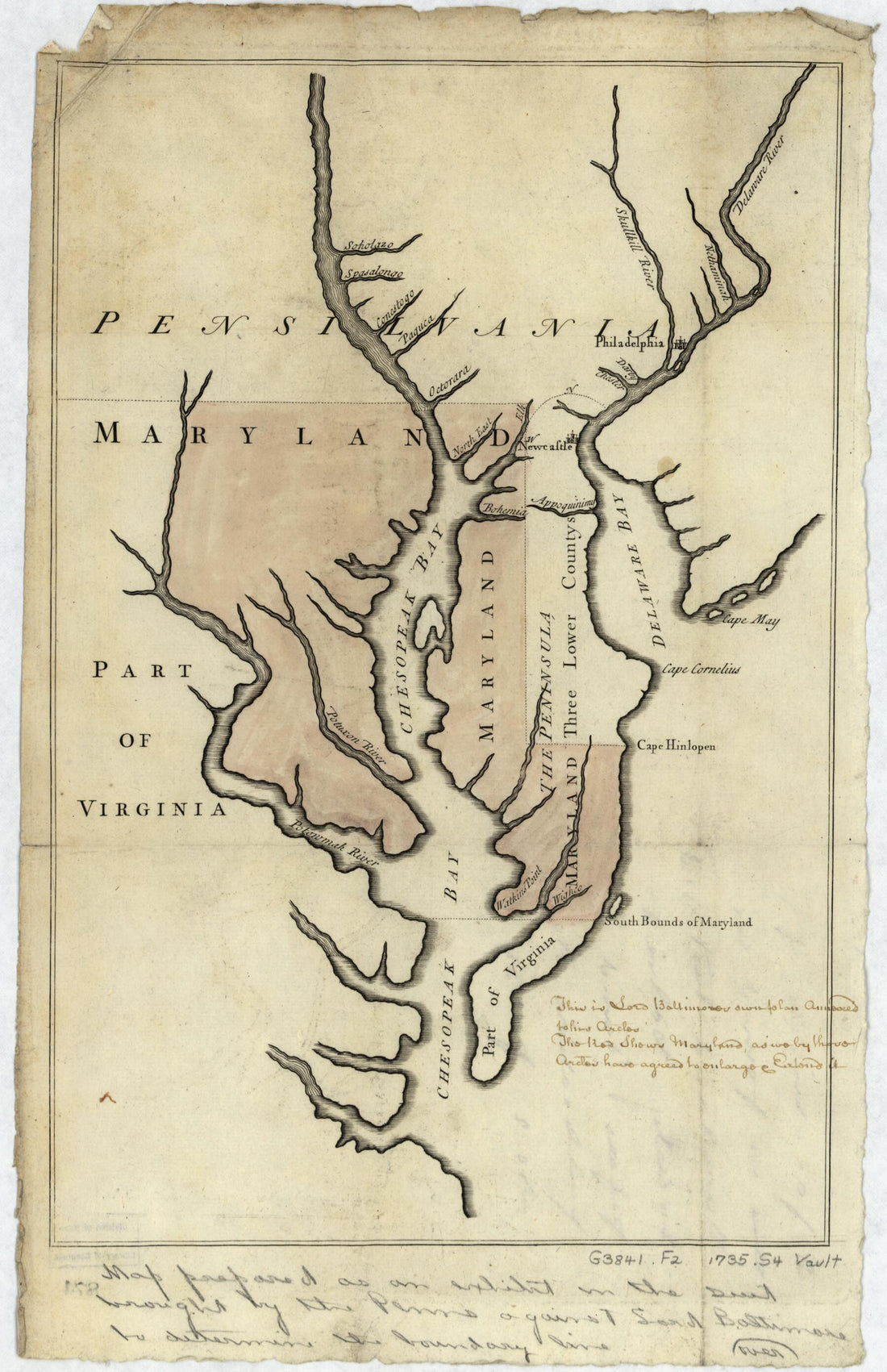 Pennsylvania Boundary Used As Trial Exhibits In the 1735 Court Suit Brought by the Penns Against Lord Baltimore to Determine the Official Interprovincial Boundary Line 1732
- Regular price
-
From
$19.95 - Regular price
-
$29.95 - Sale price
-
From
$19.95


