725 products
-
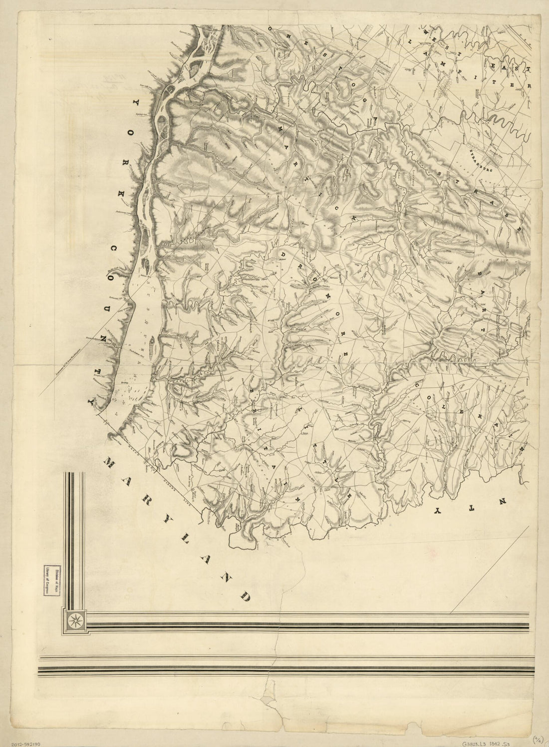 Scott's Map of Lancaster County, Pennsylvania in 1842Scott's Map of Lancaster County, Pennsylvania in 1842
- Regular price
-
$43.95 $190.95 - Regular price
-
$38.95 - Sale price
-
$43.95 $190.95
-
 Map of the Position at Turner's Gap. South Mountain 09-14Map of the Position at Turner's Gap. South Mountain 09-14
- Regular price
-
$39.95 $83.95 - Regular price
-
$34.95 - Sale price
-
$39.95 $83.95
-
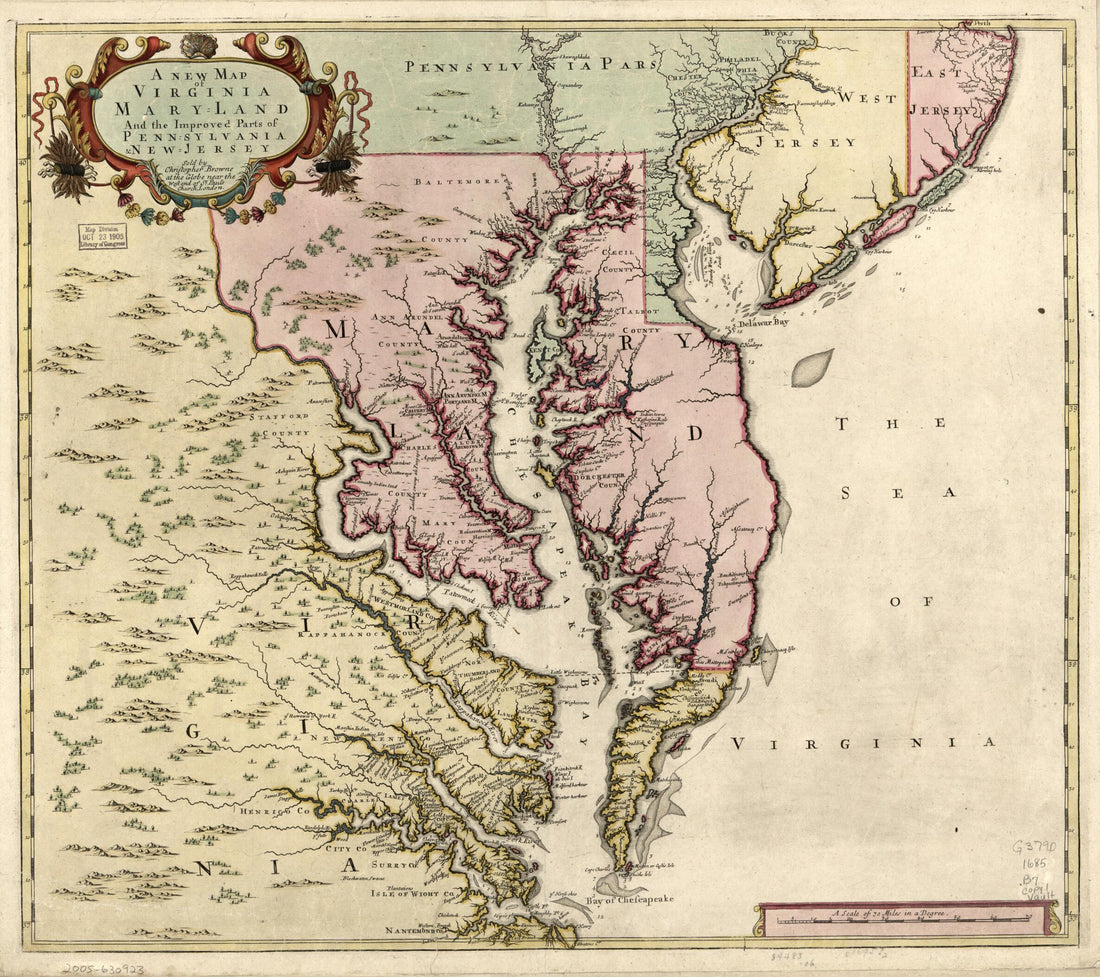 A New Map of Virginia, Maryland, and the Improved Parts of Pennsylvania & New Jersey 1685A New Map of Virginia, Maryland, and the Improved Parts of Pennsylvania & New Jersey 1685
- Regular price
-
$43.95 $83.95 - Regular price
-
$38.95 - Sale price
-
$43.95 $83.95
-
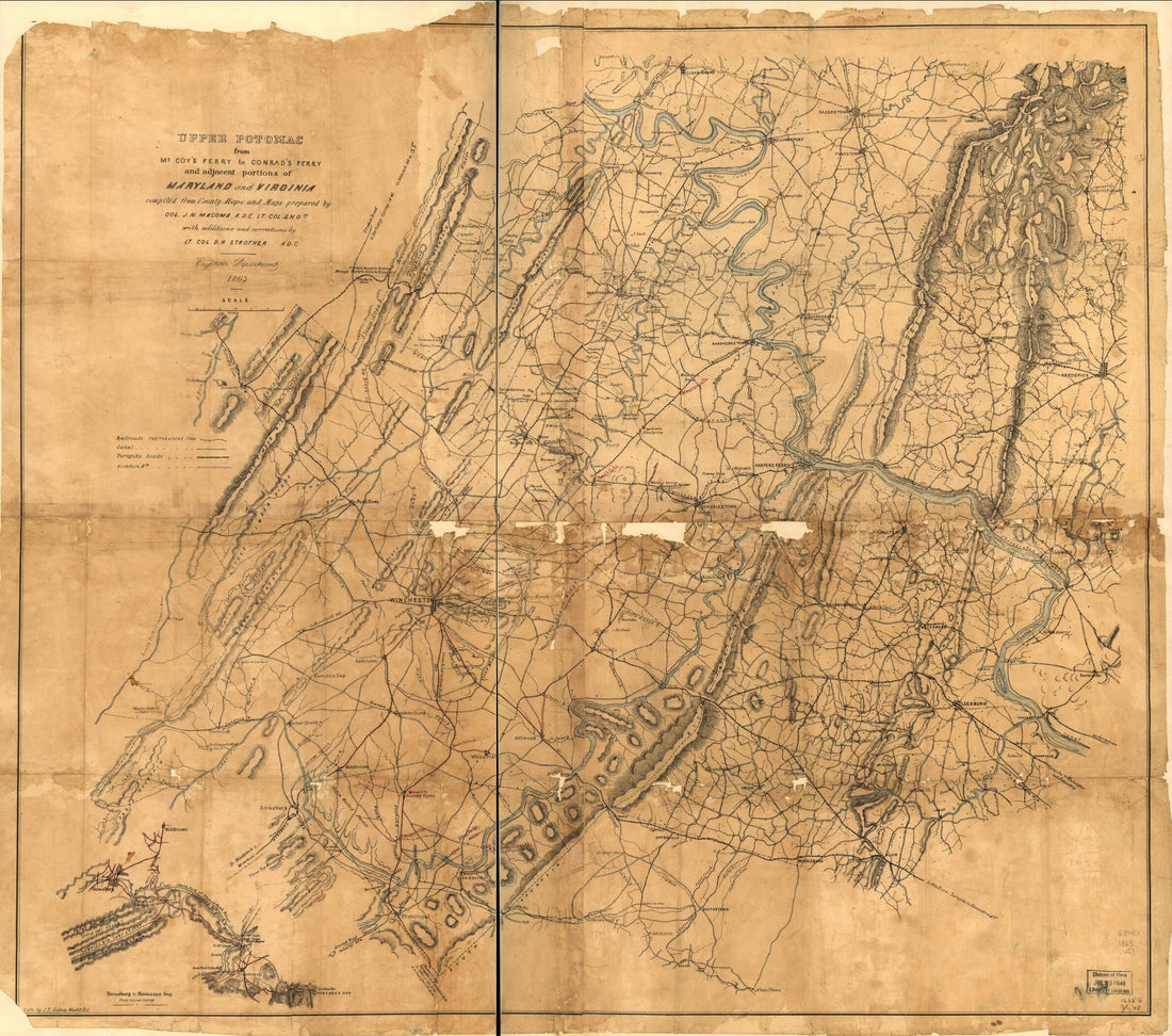 Upper Potomac from McCoy's Ferry to Conrad's Ferry and Adjacent Portions of Maryland and Virginia 1863Upper Potomac from McCoy's Ferry to Conrad's Ferry and Adjacent Portions of Maryland and Virginia 1863
- Regular price
-
$43.95 $85.95 - Regular price
-
$38.95 - Sale price
-
$43.95 $85.95
-
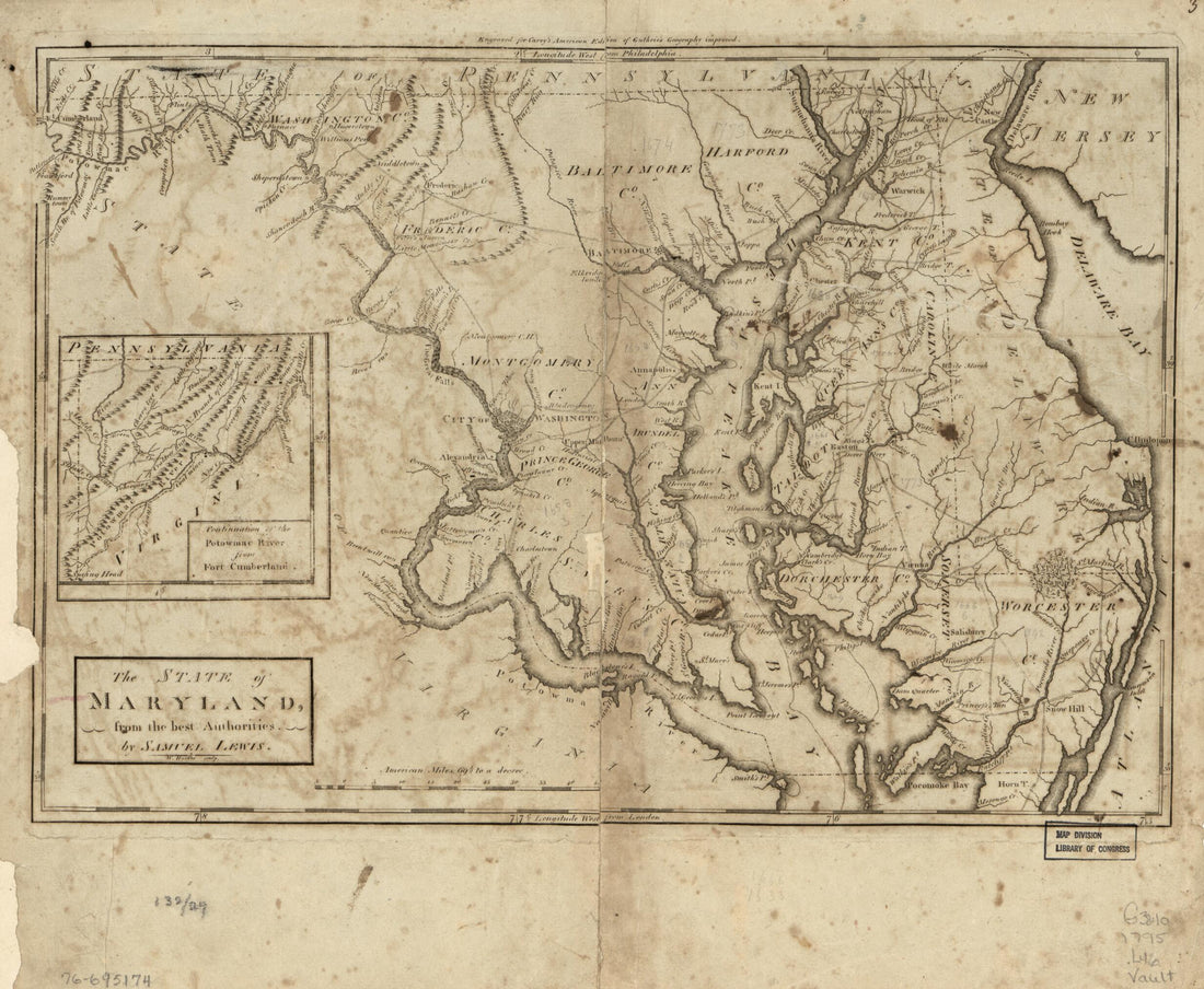 The State of Maryland 1795The State of Maryland 1795
- Regular price
-
$39.95 $83.95 - Regular price
-
$34.95 - Sale price
-
$39.95 $83.95
-
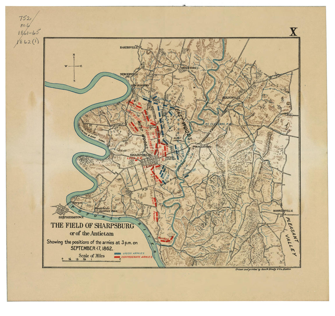 The Field of Sharpsburg Or of the Antietam : Showing the Positions of the Armies at 3 P.m. On September 17, 1862 1898The Field of Sharpsburg Or of the Antietam : Showing the Positions of the Armies at 3 P.m. On September 17, 1862 1898
- Regular price
-
$39.95 $83.95 - Regular price
-
$31.95 - Sale price
-
$39.95 $83.95
-
 Thirty Pen and Ink Maps of the Maryland Campaign, 1862 : Drawn from Descriptive Readings and Map FragmentsThirty Pen and Ink Maps of the Maryland Campaign, 1862 : Drawn from Descriptive Readings and Map Fragments
- Regular price
-
$46.95 $99.95 - Regular price
-
$41.95 - Sale price
-
$46.95 $99.95
-
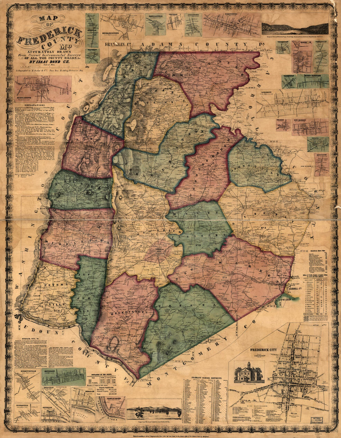 Map of Frederick County, Md. Accurately Drawn from Correct Instrumental Surveys of All the County Roads 1858Map of Frederick County, Md. Accurately Drawn from Correct Instrumental Surveys of All the County Roads 1858
- Regular price
-
$39.95 $159.95 - Regular price
-
$34.95 - Sale price
-
$39.95 $159.95
-
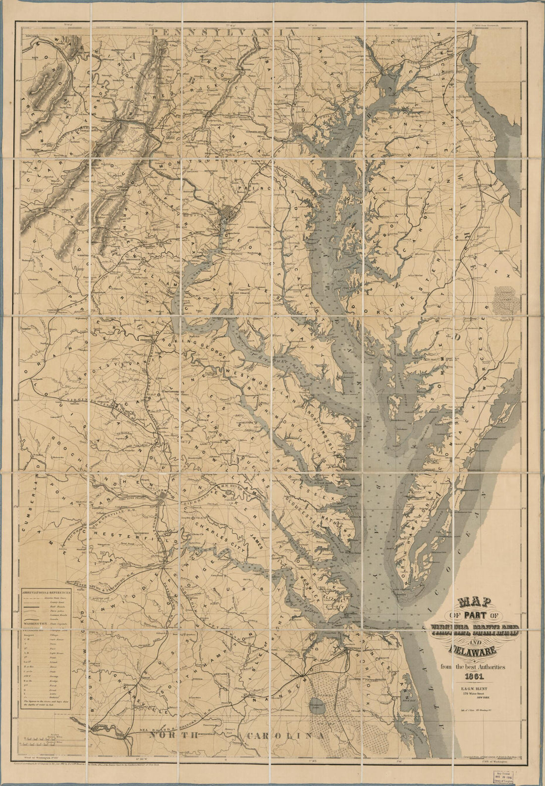 Map of Part of Virginia, Maryland, and Delaware : from the Best Authorities 1861Map of Part of Virginia, Maryland, and Delaware : from the Best Authorities 1861
- Regular price
-
$46.95 $119.95 - Regular price
-
$41.95 - Sale price
-
$46.95 $119.95
-
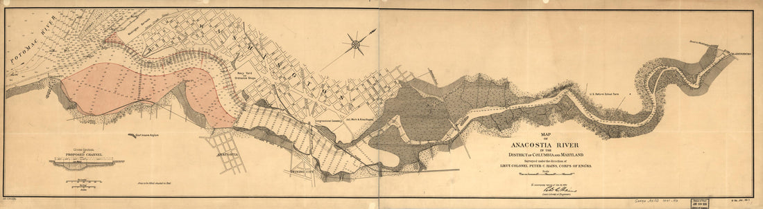 Map of Anacostia River In the District of Columbia and Maryland in 1891Map of Anacostia River In the District of Columbia and Maryland in 1891
- Regular price
-
$46.95 $99.95 - Regular price
-
$41.95 - Sale price
-
$46.95 $99.95
-
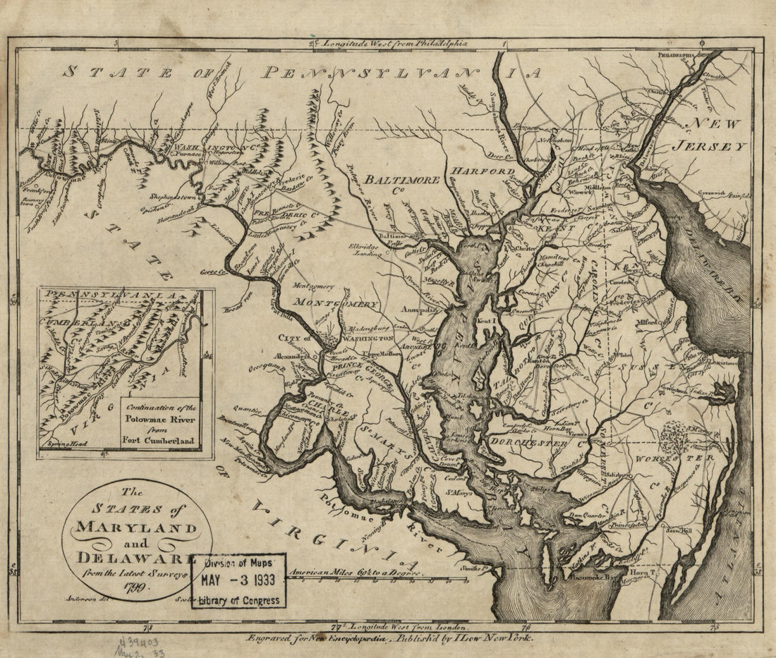 The States of Maryland and Delaware from the Latest Surveys, 1799The States of Maryland and Delaware from the Latest Surveys, 1799
- Regular price
-
$39.95 $83.95 - Regular price
-
$29.95 - Sale price
-
$39.95 $83.95
-
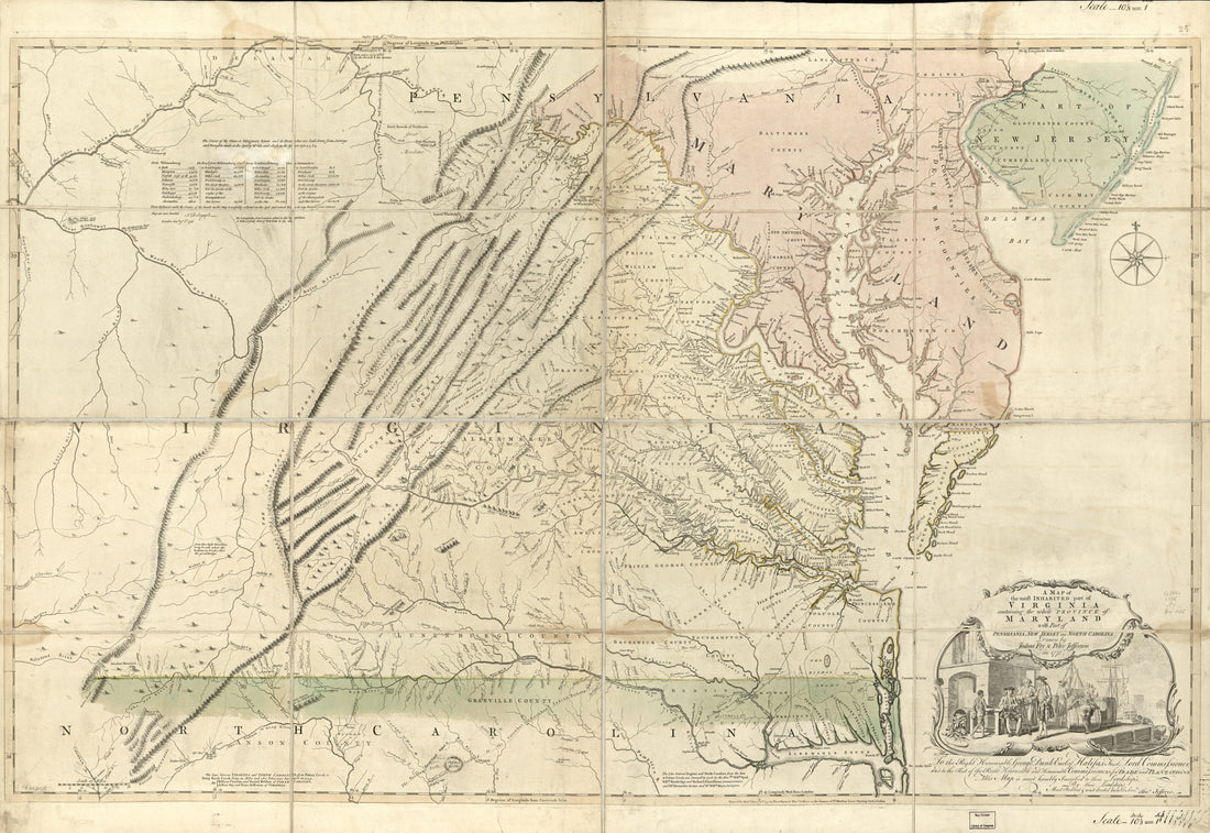 A Map of the Most Inhabited Part of Virginia Containing the Whole Province of Maryland : With Part of Pensilvania, New Jersey, and North Carolina in 1775A Map of the Most Inhabited Part of Virginia Containing the Whole Province of Maryland : With Part of Pensilvania, New Jersey, and North Carolina in 1775
- Regular price
-
$46.95 $151.95 - Regular price
-
$41.95 - Sale price
-
$46.95 $151.95


