113 products
-
Map of Washtenaw County, Michigan : from Actual Surveys 1856
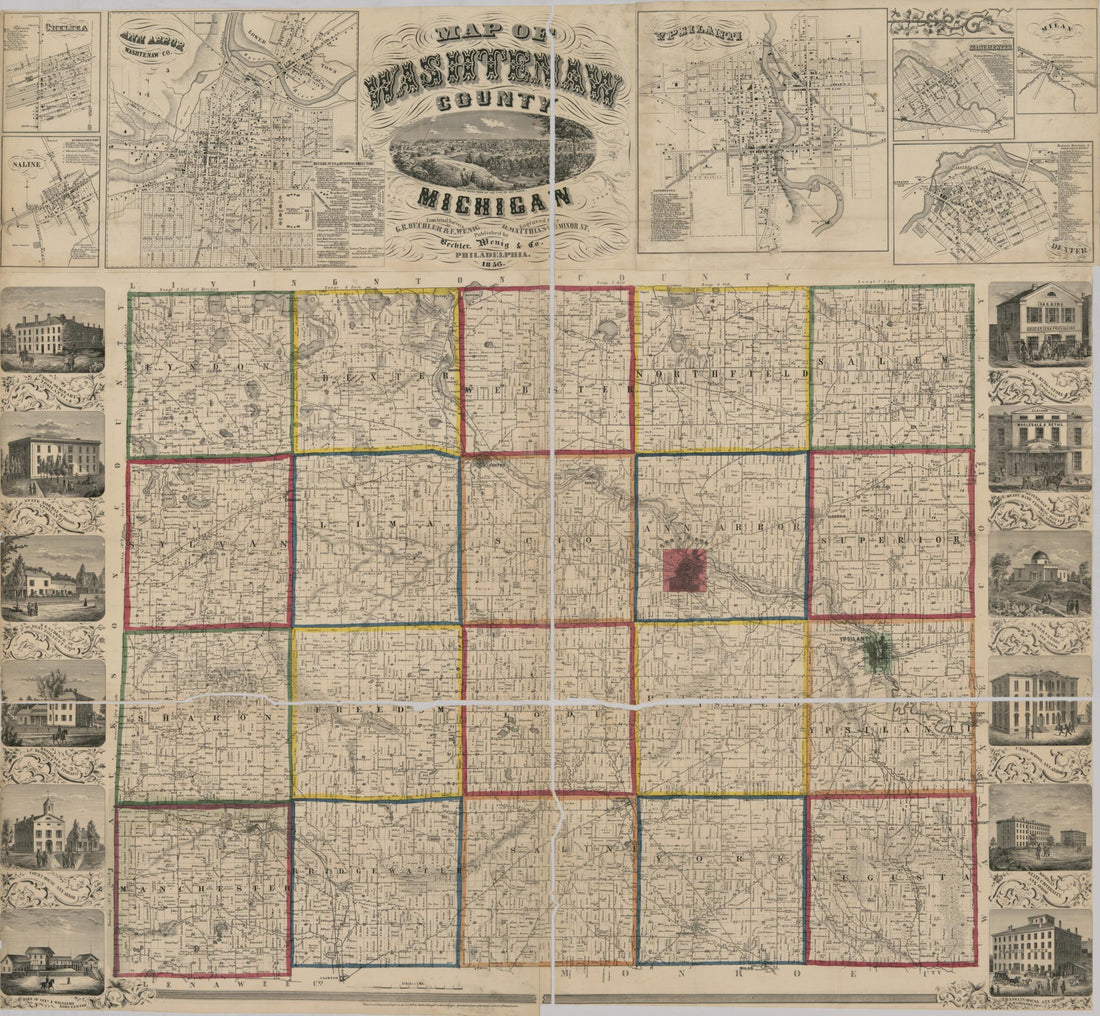 Map of Washtenaw County, Michigan : from Actual Surveys 1856
- Regular price
-
From
$34.95 - Regular price
-
$49.99 - Sale price
-
From
$34.95
-
Map of Wayne County, Michigan 1915
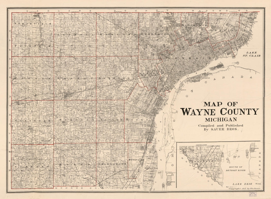 Map of Wayne County, Michigan 1915
- Regular price
-
From
$32.95 - Regular price
-
$51.99 - Sale price
-
From
$32.95
-
Topographic Map of Gratiot County, Michigan 1876
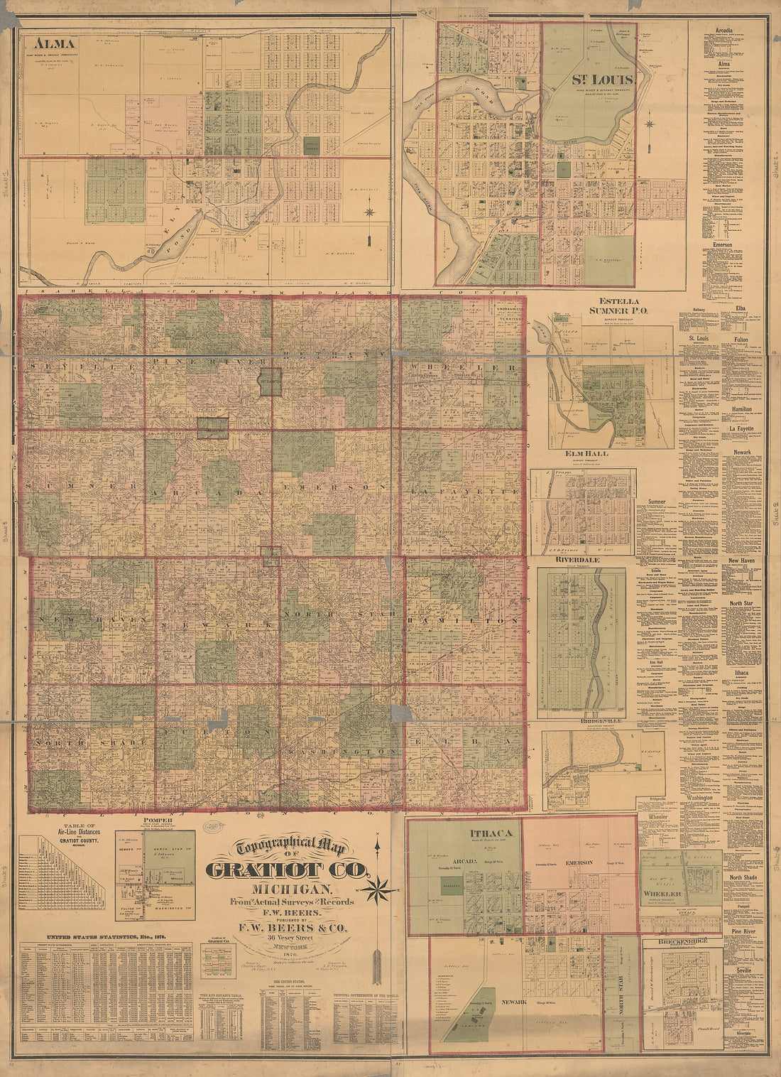 Topographic Map of Gratiot County, Michigan 1876
- Regular price
-
From
$32.95 - Regular price
-
$51.99 - Sale price
-
From
$32.95
-
Missaukee County, Michigan 1898
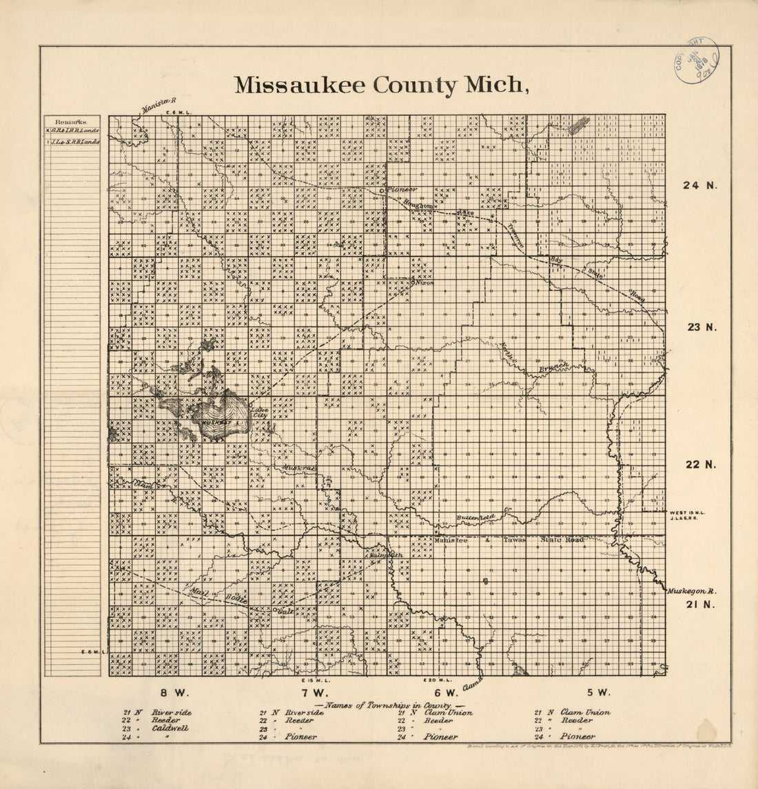 Missaukee County, Michigan 1898
- Regular price
-
From
$29.95 - Regular price
-
$46.95 - Sale price
-
From
$29.95
-
Map of the Village of the Ottawa Savages, at the Erie Strait, 1732. (Plan Du Village Des Sauvages Outaouas, Au Détroit Erié, 1732)
 Map of the Village of the Ottawa Savages, at the Erie Strait, 1732. (Plan Du Village Des Sauvages Outaouas, Au Détroit Erié, 1732)
- Regular price
-
From
$19.95 - Regular price
-
$29.95 - Sale price
-
From
$19.95
-
West End of Lake Erie and Detroit River 1849
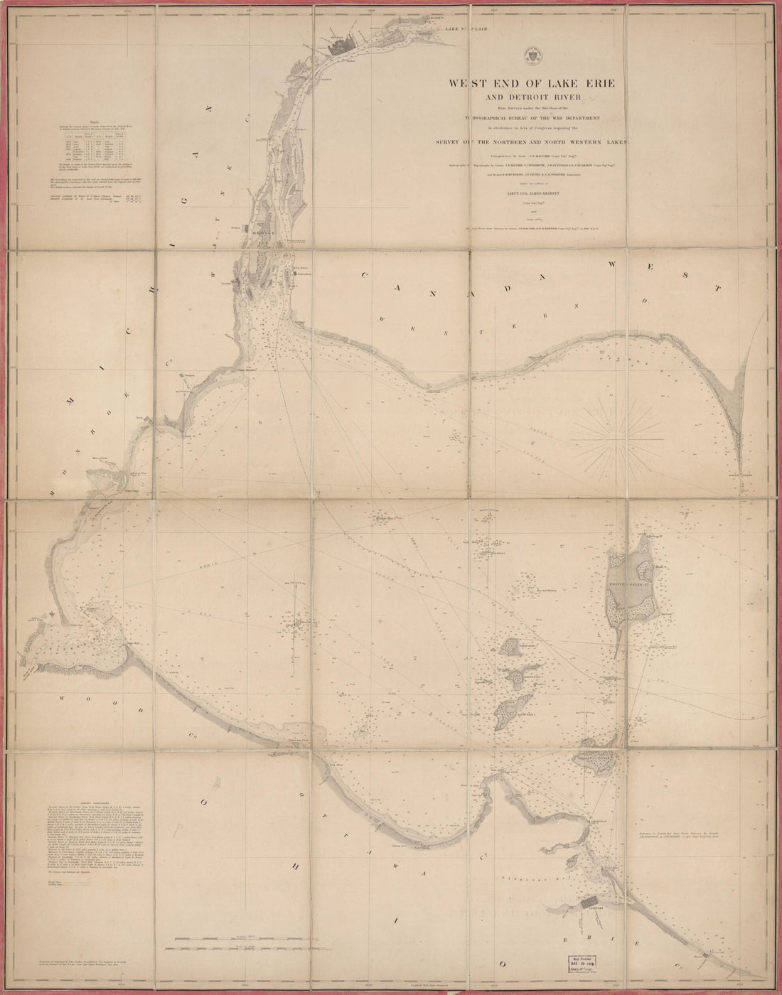 West End of Lake Erie and Detroit River 1849
- Regular price
-
From
$34.95 - Regular price
-
$49.99 - Sale price
-
From
$34.95
-
Topographic Map of Huron County, Michigan 1875
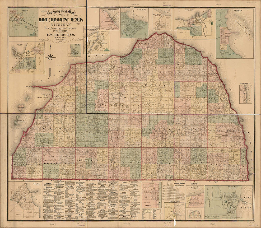 Topographic Map of Huron County, Michigan 1875
- Regular price
-
From
$34.95 - Regular price
-
$49.99 - Sale price
-
From
$34.95
-
Map Exhibiting the Position of the Several Lines Connected With the Settlement of the Ohio Boundary Question 1835
![This old map of Map Exhibiting the Position of the Several Lines Connected With the Settlement of the Ohio Boundary Question from 1835 was created by Washington] [Hood, P. Haas, Andrew Talcott in 1835](//relicmaps.com/cdn/shop/products/75690625_6a0d8e4f-533d-4d8b-aed0-d2d43c05cb31.jpg?v=1762975369&width=1100) Map Exhibiting the Position of the Several Lines Connected With the Settlement of the Ohio Boundary Question 1835
Map Exhibiting the Position of the Several Lines Connected With the Settlement of the Ohio Boundary Question 1835- Regular price
-
From
$41.95 - Regular price
-
$66.95 - Sale price
-
From
$41.95
-
North Western and Michigan Territories 1819
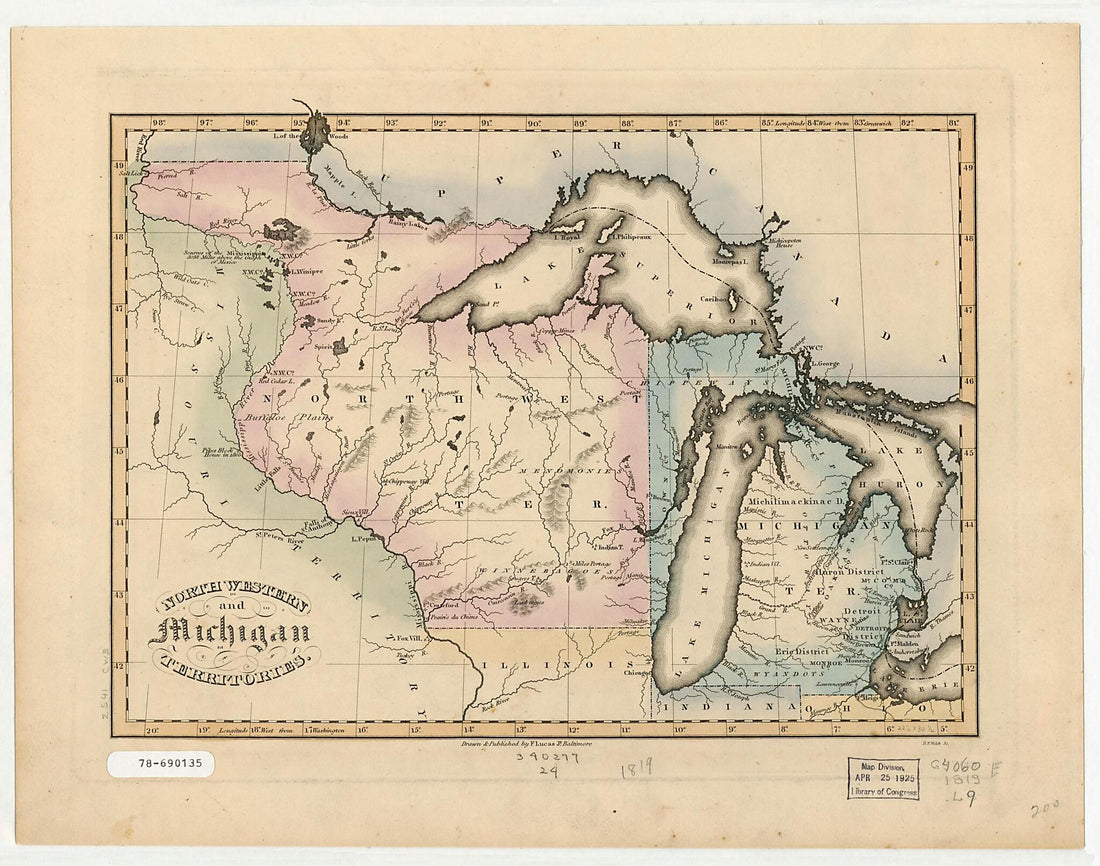 North Western and Michigan Territories 1819
- Regular price
-
From
$19.95 - Regular price
-
$30.95 - Sale price
-
From
$19.95
-
Michigan Ter 1826
 Michigan Ter 1826
- Regular price
-
From
$19.95 - Regular price
-
$30.95 - Sale price
-
From
$19.95
-
Ohio Boundary, No. 1, South Bend of Lake Michigan; Map Exhibiting the Position Occupied In the Determination of the Latitude of the Extreme South Bend of Lake Michigan 1835
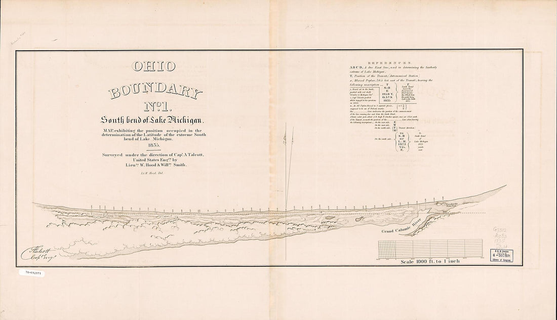 Ohio Boundary, No. 1, South Bend of Lake Michigan; Map Exhibiting the Position Occupied In the Determination of the Latitude of the Extreme South Bend of Lake Michigan 1835
- Regular price
-
From
$41.95 - Regular price
-
$66.99 - Sale price
-
From
$41.95
-
Official Map of Michigan, Railroad, Township and Sectional, Prepared Under the Direction of the Commissioner of Railroads 1885
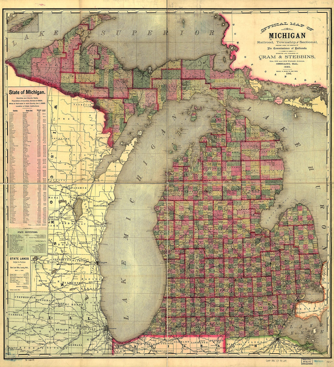 Official Map of Michigan, Railroad, Township and Sectional, Prepared Under the Direction of the Commissioner of Railroads 1885
- Regular price
-
From
$34.95 - Regular price
-
$49.99 - Sale price
-
From
$34.95


![This old map of Map Exhibiting the Position of the Several Lines Connected With the Settlement of the Ohio Boundary Question from 1835 was created by Washington] [Hood, P. Haas, Andrew Talcott in 1835](http://relicmaps.com/cdn/shop/products/75690625_6a0d8e4f-533d-4d8b-aed0-d2d43c05cb31.jpg?v=1762975369&width=1100)


