100 products
-
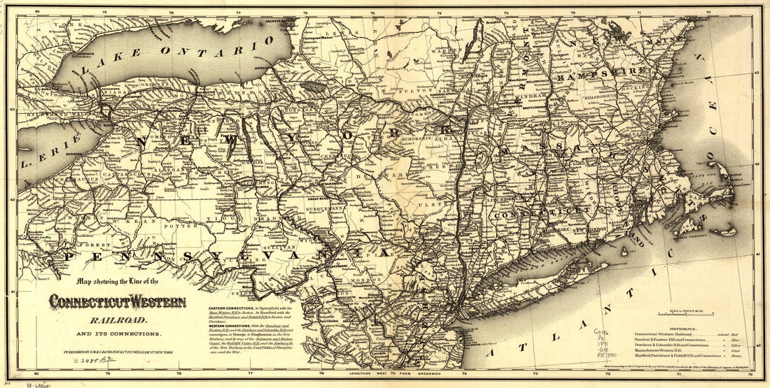 Map Showing the Line of the Connecticut & Western Railroad and Its Connections 1871Map Showing the Line of the Connecticut & Western Railroad and Its Connections 1871
- Regular price
-
$46.95 $99.95 - Regular price
-
$41.95 - Sale price
-
$46.95 $99.95
-
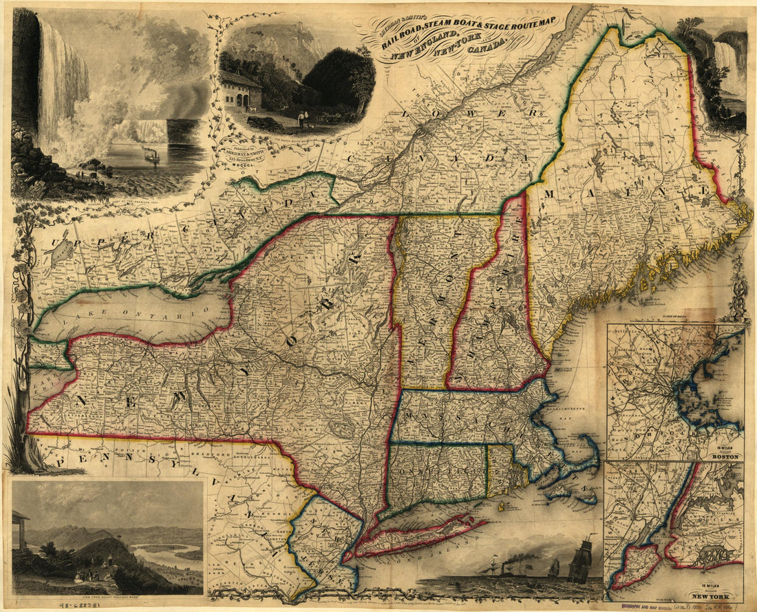
 Railroad Map of New England & Eastern New York Complied from the Most Authentic Sources 1849Railroad Map of New England & Eastern New York Complied from the Most Authentic Sources 1849
- Regular price
-
$39.95 $83.95 - Regular price
-
$34.95 - Sale price
-
$39.95 $83.95
-
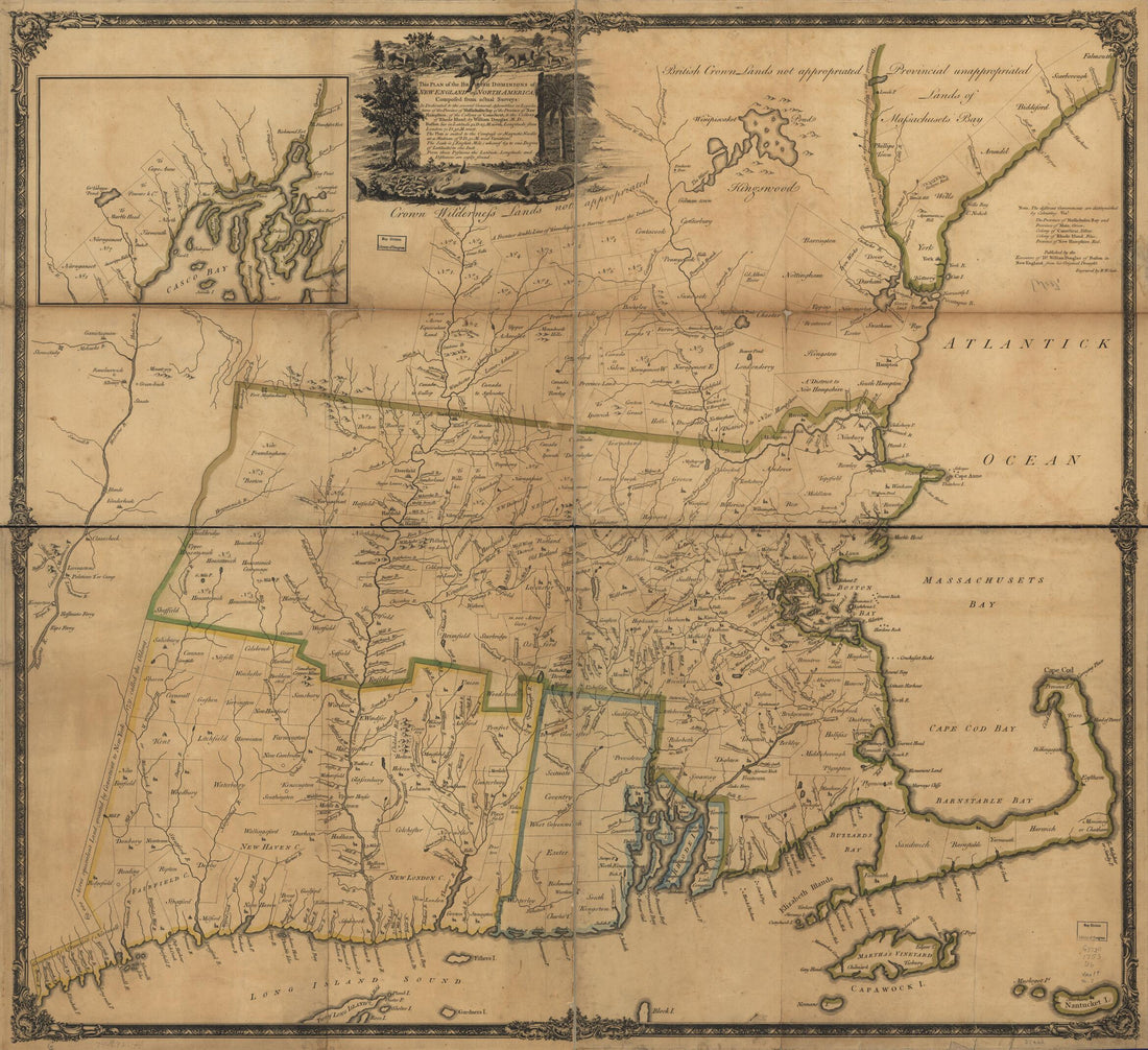 This Plan of the British Dominions of New England In North America 1753This Plan of the British Dominions of New England In North America 1753
- Regular price
-
$39.95 $156.95 - Regular price
-
$34.95 - Sale price
-
$39.95 $156.95
-
 A New Chart of Nantucket Shoals & George's Bank With the Adjacent Coast 1813A New Chart of Nantucket Shoals & George's Bank With the Adjacent Coast 1813
- Regular price
-
$46.95 $175.95 - Regular price
-
$41.95 - Sale price
-
$46.95 $175.95
-
 B. New Engelland, New York, New Yersey Und Pensilvania 1759B. New Engelland, New York, New Yersey Und Pensilvania 1759
- Regular price
-
$39.95 $88.95 - Regular price
-
$29.95 - Sale price
-
$39.95 $88.95
-
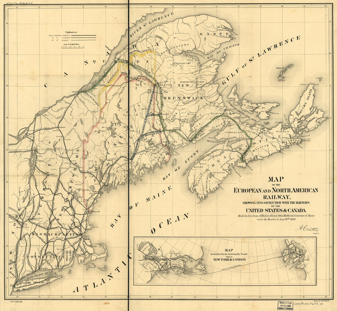 Map of the European and North American Railway, Showing Its Connection With the Railways of the United States & Canada; Made by Direction of His Excellency John Hubbard, Governor of Maine Under the Resolve of Aug. 20th 1850Map of the European and North American Railway, Showing Its Connection With the Railways of the United States & Canada; Made by Direction of His Excellency John Hubbard, Governor of Maine Under the Resolve of Aug. 20th 1850
- Regular price
-
$39.95 $87.95 - Regular price
-
$34.95 - Sale price
-
$39.95 $87.95
-
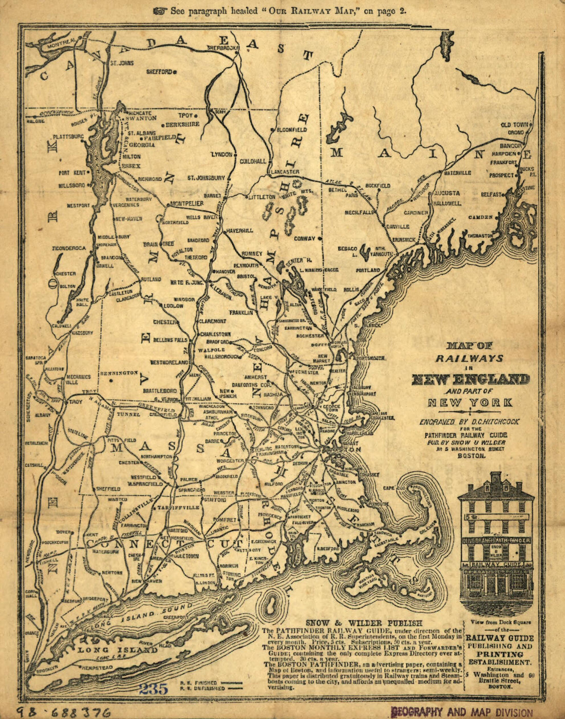 Map of Railways In New England and Part of New York; Engraved by D. C. Hitchcock for the Pathfinder Railway Guide 1847Map of Railways In New England and Part of New York; Engraved by D. C. Hitchcock for the Pathfinder Railway Guide 1847
- Regular price
-
$39.95 $83.95 - Regular price
-
$29.95 - Sale price
-
$39.95 $83.95
-
 York and Canada 1850York and Canada 1850
- Regular price
-
$39.95 $83.95 - Regular price
-
$34.95 - Sale price
-
$39.95 $83.95
-
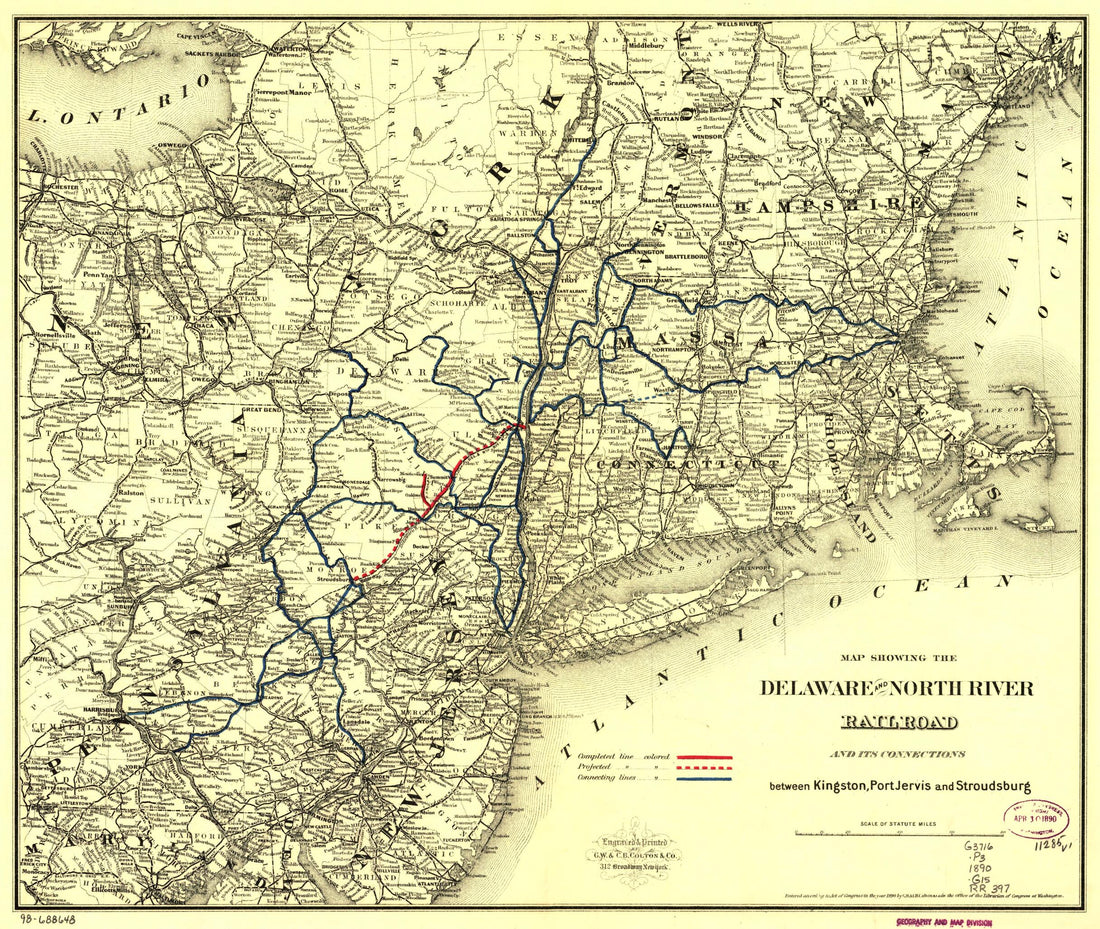 Map Showing the Delaware and North River Railroad and Its Connections Between Kingston, Port Jarvis and Stroudsburg 1890Map Showing the Delaware and North River Railroad and Its Connections Between Kingston, Port Jarvis and Stroudsburg 1890
- Regular price
-
$39.95 $83.95 - Regular price
-
$34.95 - Sale price
-
$39.95 $83.95
-
 A Map of That Part of America Which Was the Principal Seat of War In 1756A Map of That Part of America Which Was the Principal Seat of War In 1756
- Regular price
-
$39.95 $99.95 - Regular price
-
$29.95 - Sale price
-
$39.95 $99.95
-
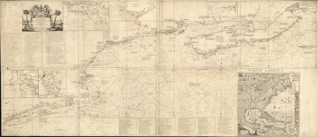 An Actual Survey of the Sea Coast from New York to the I. Cape Briton, With Tables of the Direct and Thwart Courses & Distances from Place to Place 1775An Actual Survey of the Sea Coast from New York to the I. Cape Briton, With Tables of the Direct and Thwart Courses & Distances from Place to Place 1775
- Regular price
-
$46.95 $474.95 - Regular price
-
$41.95 - Sale price
-
$46.95 $474.95
-
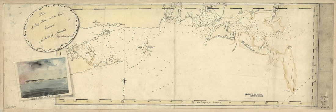 Part of Long Island; and the Coast Eastward to the Shoals of Nantucket 1778Part of Long Island; and the Coast Eastward to the Shoals of Nantucket 1778
- Regular price
-
$39.95 $99.95 - Regular price
-
$29.95 - Sale price
-
$39.95 $99.95


