97 products
-
Engelandt Verthonendt Alles Wat Van Die Landin by See, Oft by Land Is Ondect Oft Bekent 1639
 Engelandt Verthonendt Alles Wat Van Die Landin by See, Oft by Land Is Ondect Oft Bekent 1639
- Regular price
-
From
$41.95 - Regular price
-
$66.99 - Sale price
-
From
$41.95
-
Maine, New Hampshire, Vermont, Massachusetts, Rhode Island, Connecticut and Lower Canada, 1860
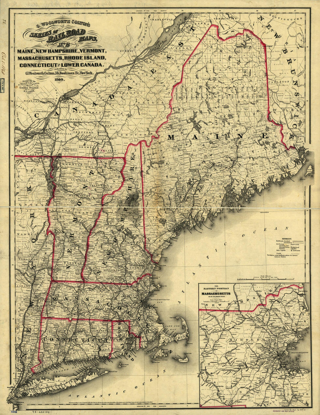 Maine, New Hampshire, Vermont, Massachusetts, Rhode Island, Connecticut and Lower Canada, 1860
- Regular price
-
From
$32.95 - Regular price
-
$51.99 - Sale price
-
From
$32.95
-
A New Map of Nova Scotia, and Cape Britain. With the Adjacent Parts of New England and Canada, Composed from a Great Number of Actual Surveys; and Other Materials Regulated by Many New Astronomical Observations of the Longitude As Well As Latitude; Wi...
 A New Map of Nova Scotia, and Cape Britain. With the Adjacent Parts of New England and Canada, Composed from a Great Number of Actual Surveys; and Other Materials Regulated by Many New Astronomical Observations of the Longitude As Well As Latitude; Wi...
- Regular price
-
From
$34.95 - Regular price
-
$49.99 - Sale price
-
From
$34.95
-
Map of the Shore Line Rail Road Route Between New York and Boston, Showing Its Rail Road and Steamboat Connection With New York, New Haven, New London, Stonington, Providence, Newport, and Boston 1860
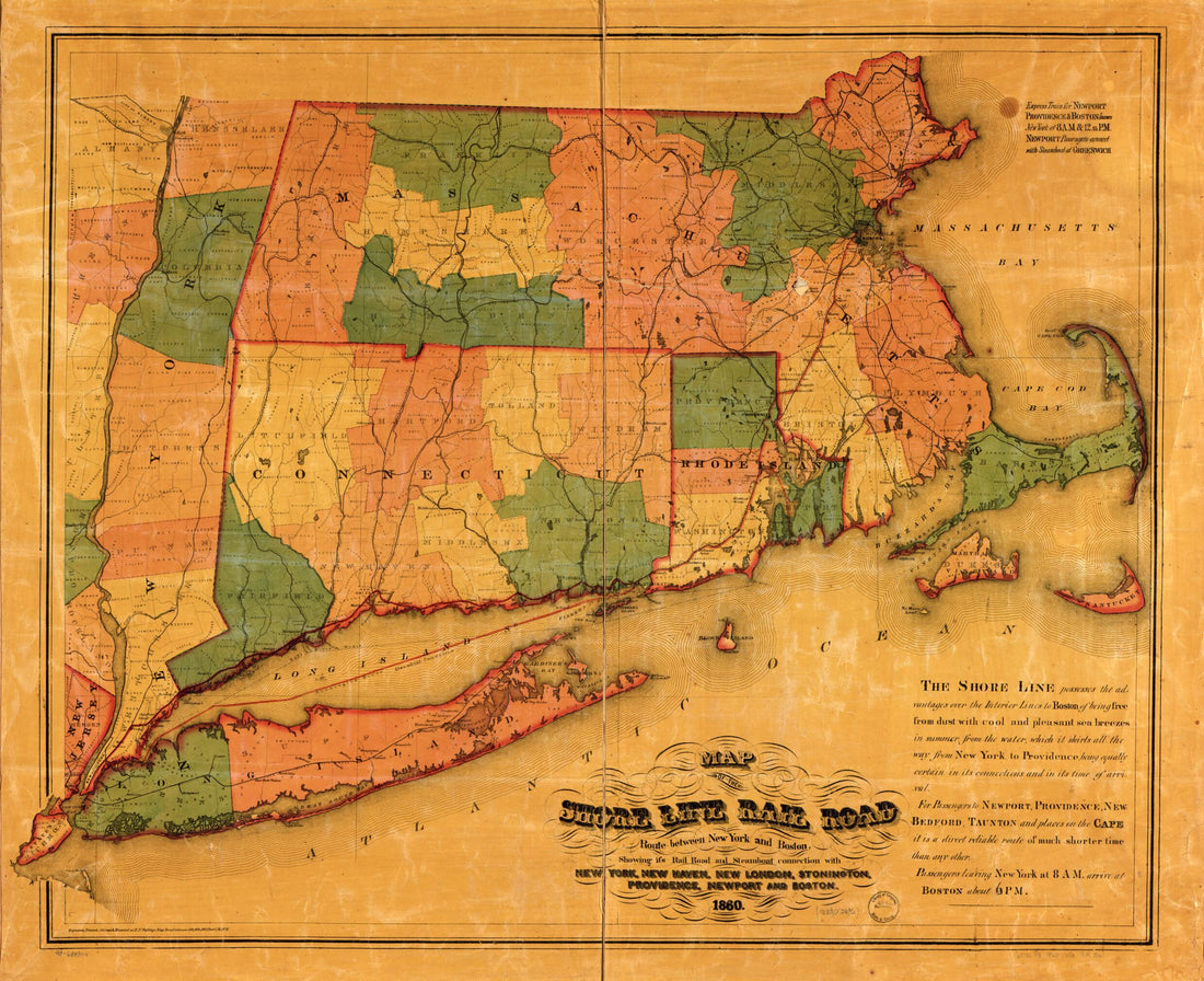 Map of the Shore Line Rail Road Route Between New York and Boston, Showing Its Rail Road and Steamboat Connection With New York, New Haven, New London, Stonington, Providence, Newport, and Boston 1860
- Regular price
-
From
$34.95 - Regular price
-
$49.99 - Sale price
-
From
$34.95
-
Colton's Railroad & Township Map of New England With Portions of the State of New York, the British Provinces &c in 1852
 Colton's Railroad & Township Map of New England With Portions of the State of New York, the British Provinces &c in 1852
- Regular price
-
From
$41.95 - Regular price
-
$66.99 - Sale price
-
From
$41.95
-
A New Map of Nova Scotia, and Cape Breton Island With the Adjacent Parts of New England and Canada, Composed from a Great Number of Actual Surveys; and Other Materials Regulated by Many New Astronomical Observations of the Longitude As Well As Latitud...
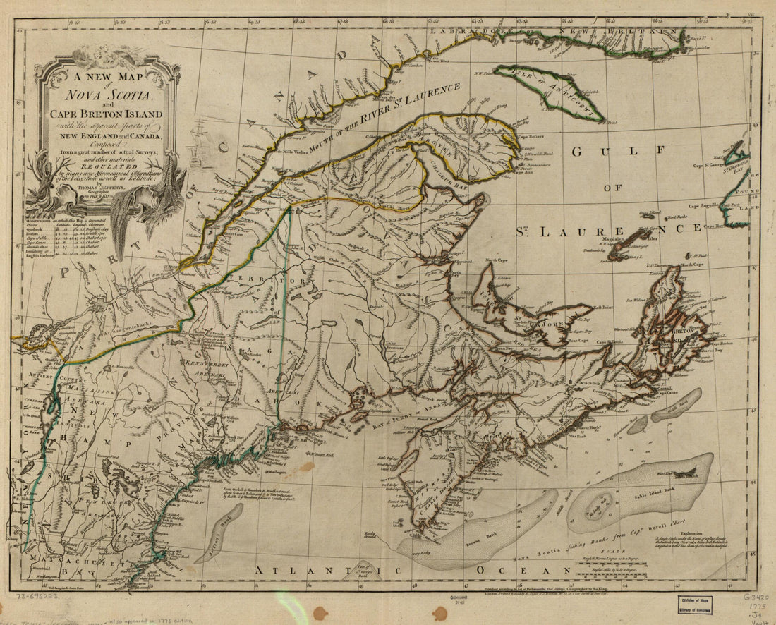 A New Map of Nova Scotia, and Cape Breton Island With the Adjacent Parts of New England and Canada, Composed from a Great Number of Actual Surveys; and Other Materials Regulated by Many New Astronomical Observations of the Longitude As Well As Latitud...
- Regular price
-
From
$34.95 - Regular price
-
$49.99 - Sale price
-
From
$34.95
-
Map Showing the Location of the New York & Oswego Midland R.R. With Existing and Proposed Connection, January 1st 1869, by Van R. Richmond, State Engr. & Surv.
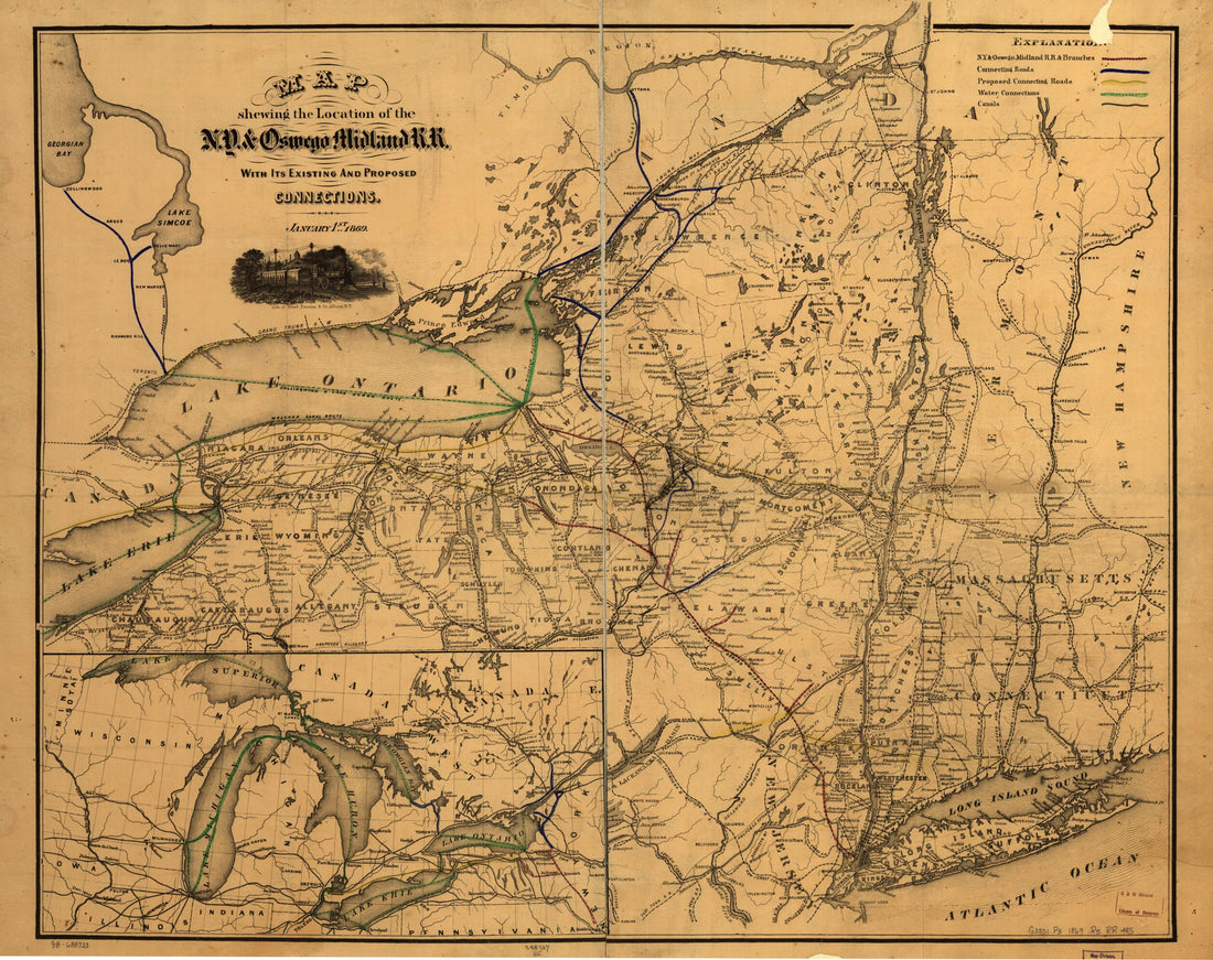 Map Showing the Location of the New York & Oswego Midland R.R. With Existing and Proposed Connection, January 1st 1869, by Van R. Richmond, State Engr. & Surv.
- Regular price
-
From
$34.95 - Regular price
-
$49.99 - Sale price
-
From
$34.95
-
England, Being the First That Ever Was Here Cut, and Done by the Best Pattern That Could Be Had, Which Being In Some Places Defective, It Made the Other Less Exact: Yet Doth It Sufficiently Show the Situation of the Country & Conveniently Well the Dis...
 England, Being the First That Ever Was Here Cut, and Done by the Best Pattern That Could Be Had, Which Being In Some Places Defective, It Made the Other Less Exact: Yet Doth It Sufficiently Show the Situation of the Country & Conveniently Well the Dis...
- Regular price
-
From
$26.95 - Regular price
-
$41.95 - Sale price
-
From
$26.95
-
Map of Railways In New England and Part of New York; Engraved by E. A. Teulon, Expressly to Accompany the Pathfinder Railway Guide in 1849
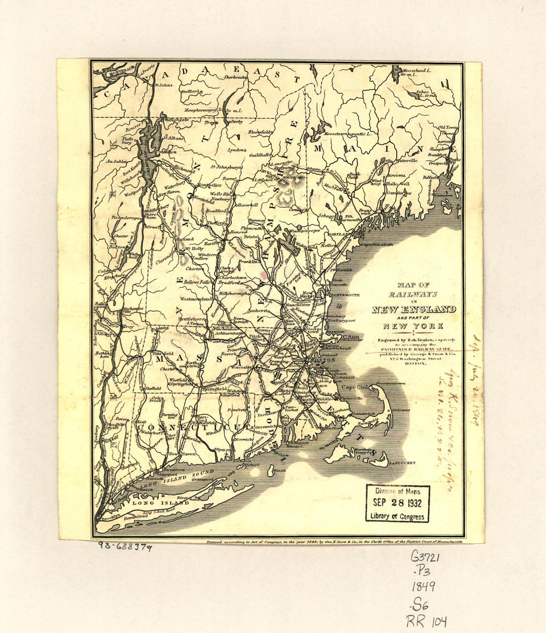 Map of Railways In New England and Part of New York; Engraved by E. A. Teulon, Expressly to Accompany the Pathfinder Railway Guide in 1849
- Regular price
-
From
$19.95 - Regular price
-
$29.95 - Sale price
-
From
$19.95
-
G. Woolworth Colton's Railroad, Township & Distance Map of New England With Adjacent Portions of New York, Canada & New Brunswick in 1861
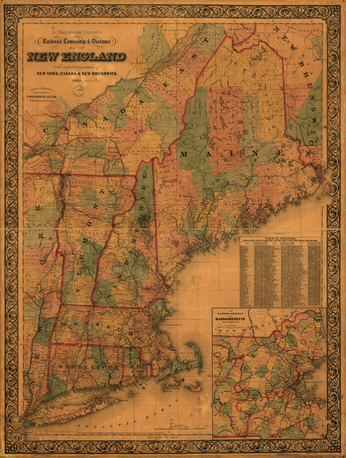 G. Woolworth Colton's Railroad, Township & Distance Map of New England With Adjacent Portions of New York, Canada & New Brunswick in 1861
- Regular price
-
From
$32.95 - Regular price
-
$51.99 - Sale price
-
From
$32.95
-
Map Exhibiting the Rail Road, Canal, Lake, and River Routes from New York and Boston to the West : Via Ocdensburgh sic and Sacket's sic Harbor, New York 1849
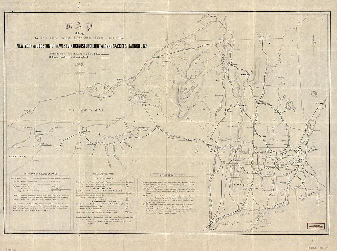 Map Exhibiting the Rail Road, Canal, Lake, and River Routes from New York and Boston to the West : Via Ocdensburgh sic and Sacket's sic Harbor, New York 1849
- Regular price
-
From
$32.95 - Regular price
-
$51.99 - Sale price
-
From
$32.95
-
Map of the Stanstead, Shefford, and Chambly Rail Road, and Its Connections 1858
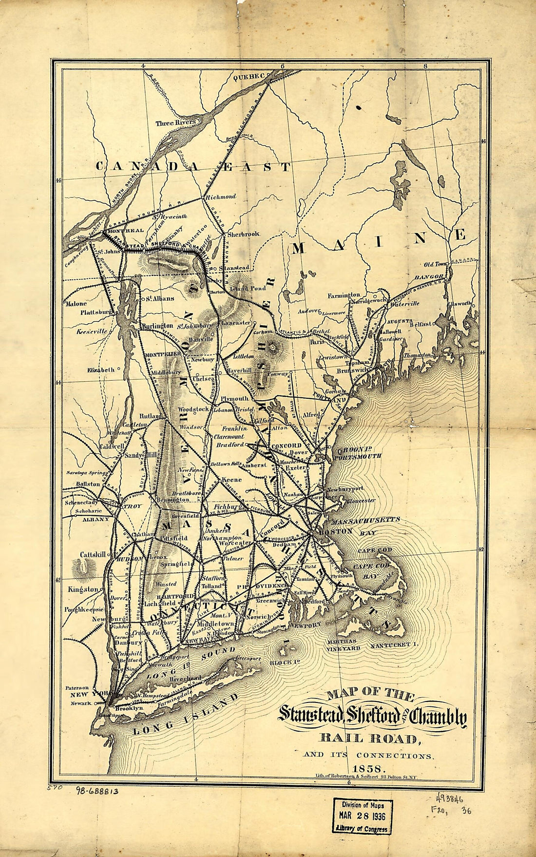 Map of the Stanstead, Shefford, and Chambly Rail Road, and Its Connections 1858
- Regular price
-
From
$19.95 - Regular price
-
$29.95 - Sale price
-
From
$19.95


