194 products
-
Map of Washington County, Ohio : From Actual Survey & Records by Wm. Lorey in 1858
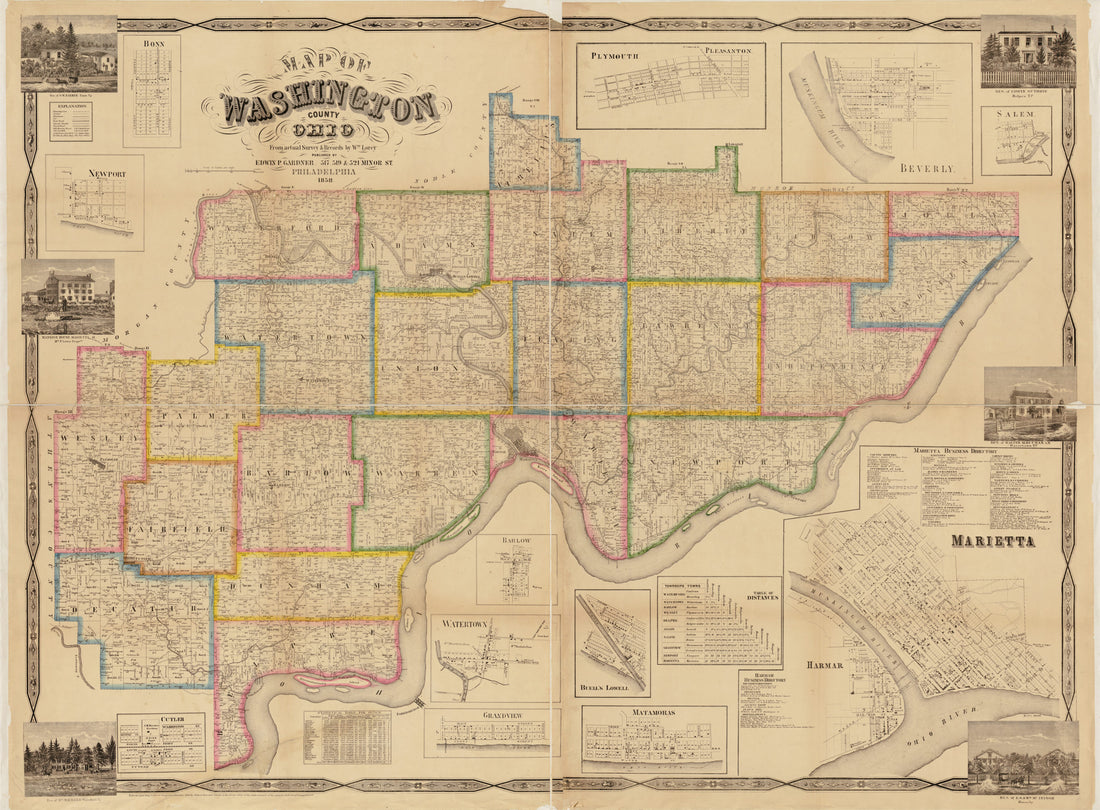 Map of Washington County, Ohio : From Actual Survey & Records by Wm. Lorey in 1858
- Regular price
-
From
$32.95 - Regular price
-
$51.99 - Sale price
-
From
$32.95
-
Railroad & Township Map of Ohio in 1854
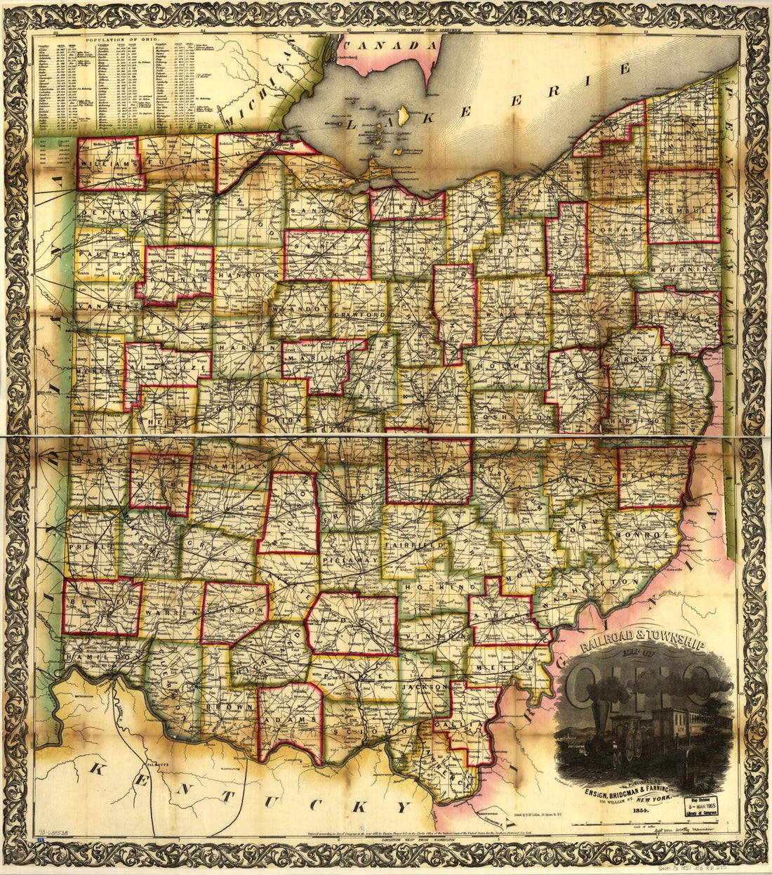 Railroad & Township Map of Ohio in 1854
- Regular price
-
From
$34.95 - Regular price
-
$49.99 - Sale price
-
From
$34.95
-
Map Exhibiting the Position of the Several Lines Connected With the Settlement of the Ohio Boundary Question 1835
![This old map of Map Exhibiting the Position of the Several Lines Connected With the Settlement of the Ohio Boundary Question from 1835 was created by Washington] [Hood, P. Haas, Andrew Talcott in 1835](//relicmaps.com/cdn/shop/products/75690625_6a0d8e4f-533d-4d8b-aed0-d2d43c05cb31.jpg?v=1762975369&width=1100) Map Exhibiting the Position of the Several Lines Connected With the Settlement of the Ohio Boundary Question 1835
Map Exhibiting the Position of the Several Lines Connected With the Settlement of the Ohio Boundary Question 1835- Regular price
-
From
$41.95 - Regular price
-
$66.95 - Sale price
-
From
$41.95
-
A Map of the Federal Territory From the Western Boundary of Pennsylvania to the Scioto River in 1785
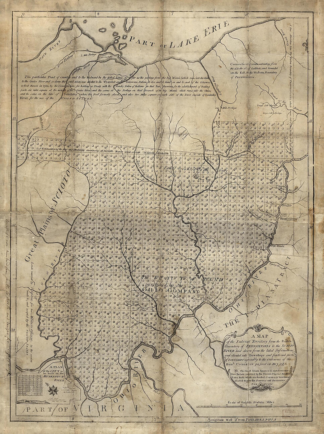 A Map of the Federal Territory From the Western Boundary of Pennsylvania to the Scioto River in 1785
- Regular price
-
From
$32.95 - Regular price
-
$51.99 - Sale price
-
From
$32.95
-
Plat of the Seven Ranges of Townships Being Part of the Territory of the United States, N.W. of the River Ohio 1796
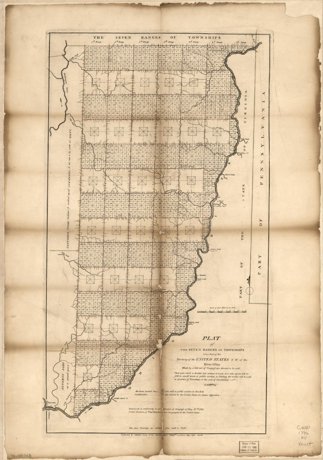 Plat of the Seven Ranges of Townships Being Part of the Territory of the United States, N.W. of the River Ohio 1796
- Regular price
-
From
$41.95 - Regular price
-
$66.99 - Sale price
-
From
$41.95
-
Railroad Map Showing the Lands of the Standard Coal and Iron County Situated In the Hocking Valley, Ohio, and Their Relation to the Markets of the North and West 1881
 Railroad Map Showing the Lands of the Standard Coal and Iron County Situated In the Hocking Valley, Ohio, and Their Relation to the Markets of the North and West 1881
- Regular price
-
From
$32.95 - Regular price
-
$51.99 - Sale price
-
From
$32.95
-
Ohio and Indiana 1819
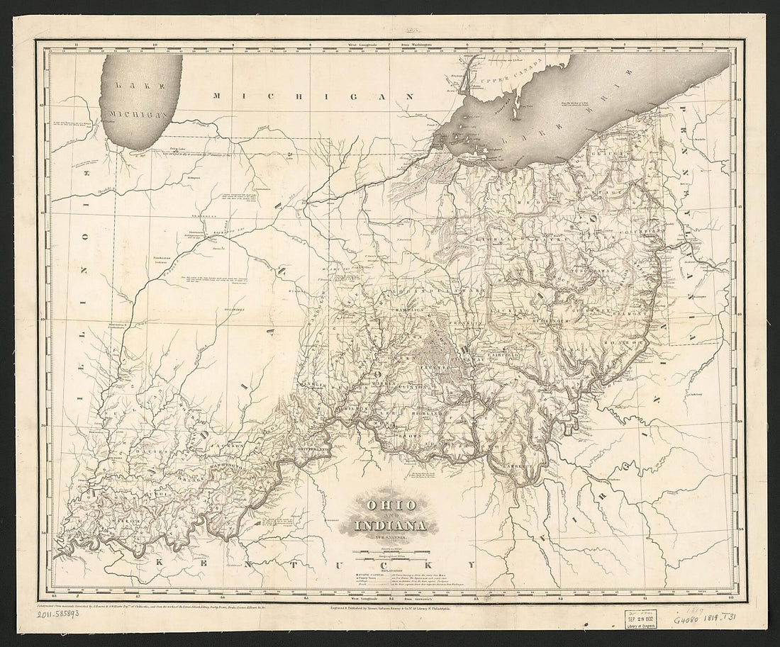 Ohio and Indiana 1819
- Regular price
-
From
$34.95 - Regular price
-
$49.99 - Sale price
-
From
$34.95
-
Rail Road Map of Ohio 1873
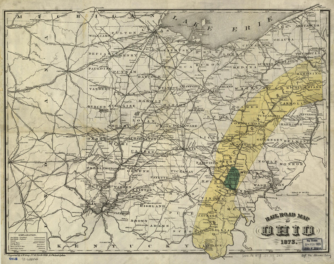 Rail Road Map of Ohio 1873
- Regular price
-
From
$34.95 - Regular price
-
$49.99 - Sale price
-
From
$34.95
-
Map of Columbiana County, Ohio in 1860
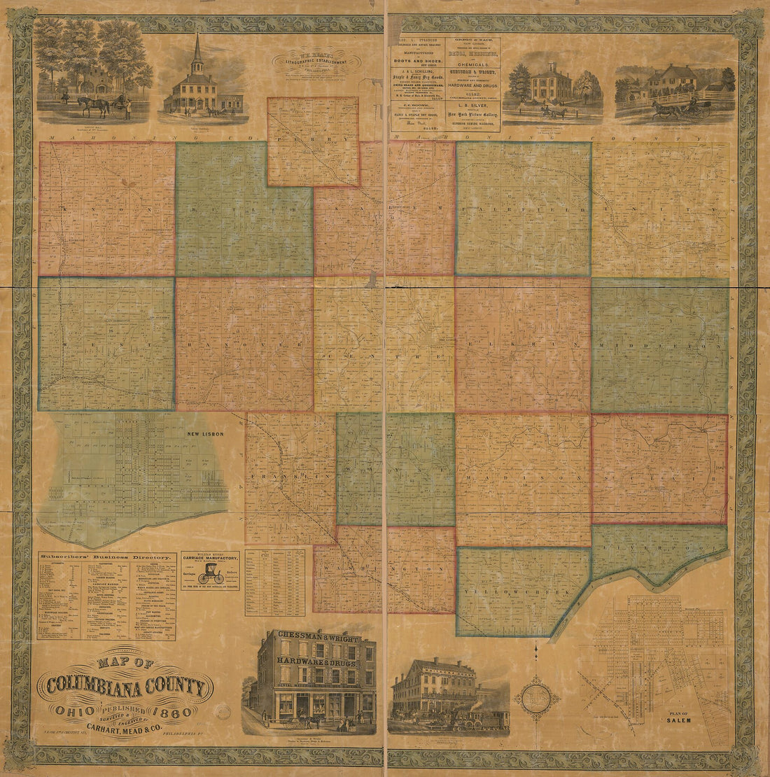 Map of Columbiana County, Ohio in 1860
- Regular price
-
From
$34.95 - Regular price
-
$49.99 - Sale price
-
From
$34.95
-
The State of Ohio, With Part of Upper Canada, &c. (Ohio) 1834
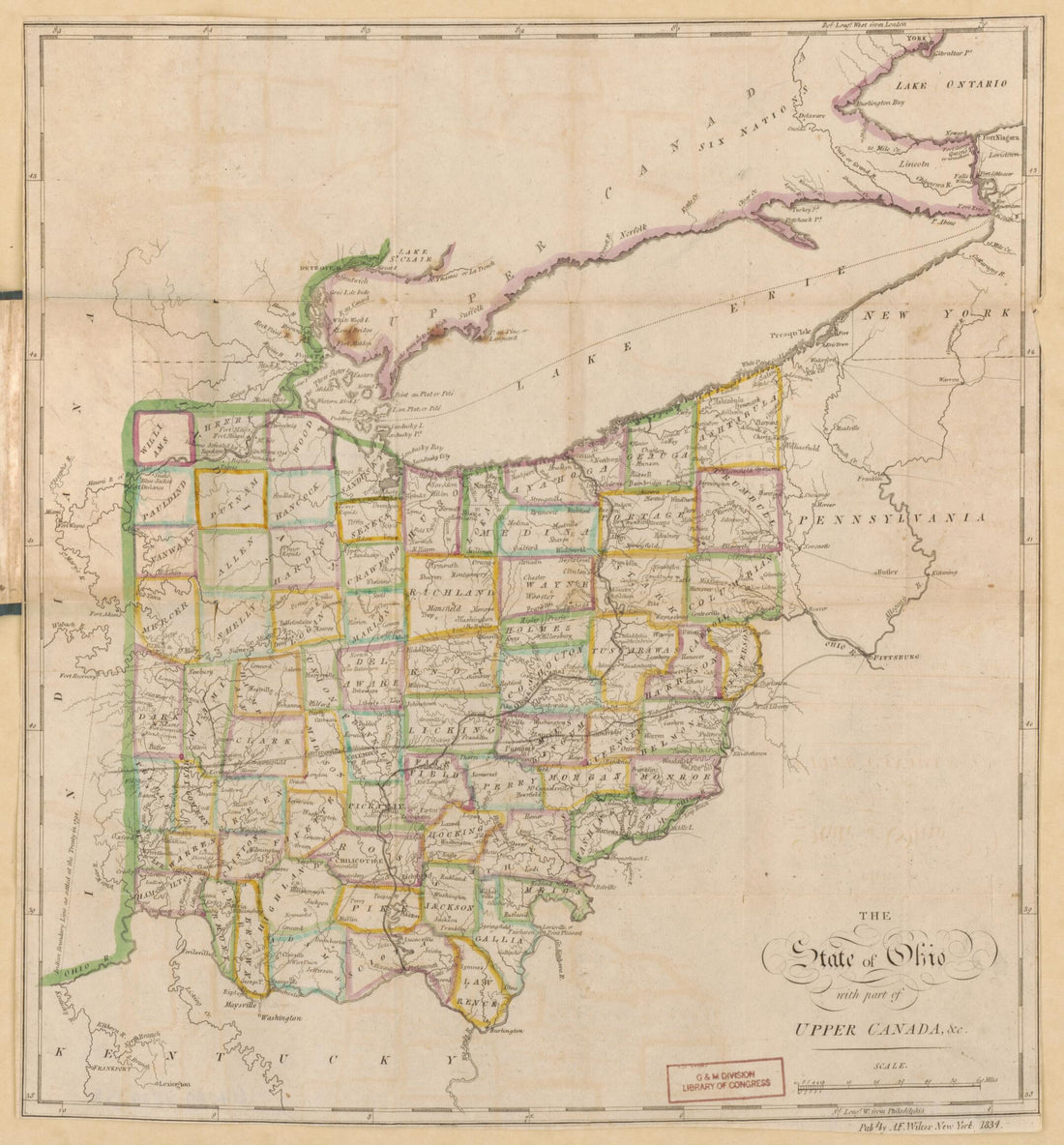 The State of Ohio, With Part of Upper Canada, &c. (Ohio) 1834
- Regular price
-
From
$22.95 - Regular price
-
$34.95 - Sale price
-
From
$22.95
-
Map of the Marietta and Pittsburgh Railroad and Its Connections 1871
 Map of the Marietta and Pittsburgh Railroad and Its Connections 1871
- Regular price
-
From
$38.95 - Regular price
-
$60.95 - Sale price
-
From
$38.95
-
Hillsborough & Cincinnati Railroad Map Extending from Jackson, Jackson County Ohio to Parkersburg, Va., As Located In 1853 Under the Direction of Ellwood Morris, Chief Eng. N. E. Jones, S. Linton, Princ. Assist. Engrs
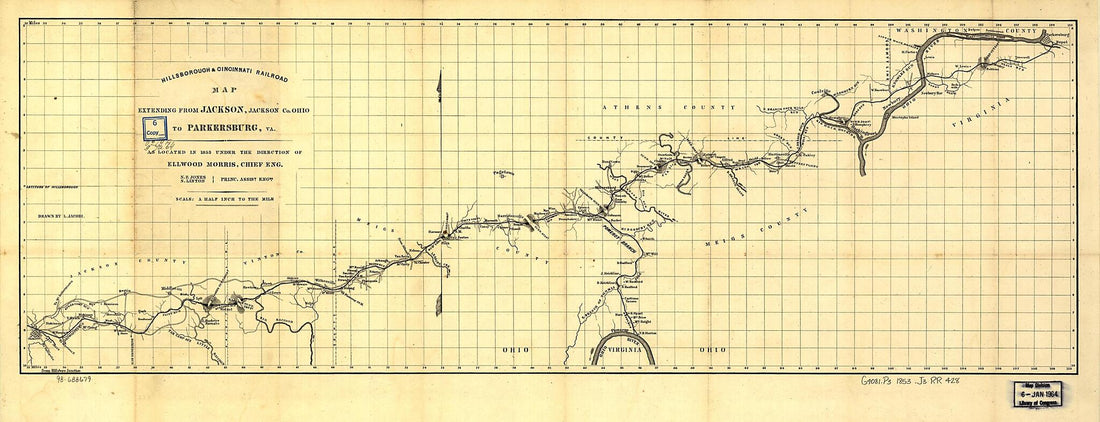 Hillsborough & Cincinnati Railroad Map Extending from Jackson, Jackson County Ohio to Parkersburg, Va., As Located In 1853 Under the Direction of Ellwood Morris, Chief Eng. N. E. Jones, S. Linton, Princ. Assist. Engrs
- Regular price
-
From
$38.95 - Regular price
-
$59.95 - Sale price
-
From
$38.95


![This old map of Map Exhibiting the Position of the Several Lines Connected With the Settlement of the Ohio Boundary Question from 1835 was created by Washington] [Hood, P. Haas, Andrew Talcott in 1835](http://relicmaps.com/cdn/shop/products/75690625_6a0d8e4f-533d-4d8b-aed0-d2d43c05cb31.jpg?v=1762975369&width=1100)


