

252 products
-
 Carte De La Caroline Et Georgie 1780Carte De La Caroline Et Georgie 1780
- Regular price
-
$49.95 $99.95 - Regular price
-
$34.95 - Sale price
-
$49.95 $99.95
-
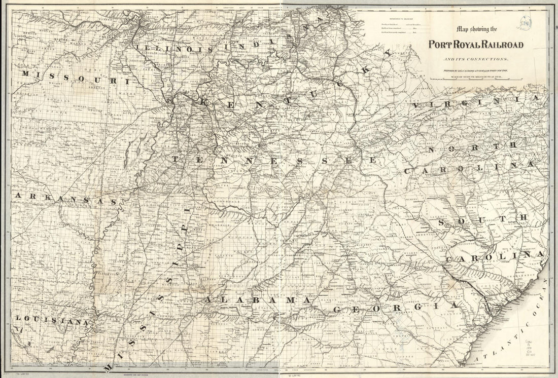 Map Showing the Port Royal Railroad and Its Connections in 1870Map Showing the Port Royal Railroad and Its Connections in 1870
- Regular price
-
$58.95 $121.95 - Regular price
-
$41.95 - Sale price
-
$58.95 $121.95
-
 Pencil Sketch of the Atlantic Coast from Charleston, South Carolina, to Savannah, Georgia 1864Pencil Sketch of the Atlantic Coast from Charleston, South Carolina, to Savannah, Georgia 1864
- Regular price
-
$52.95 $129.95 - Regular price
-
$36.95 - Sale price
-
$52.95 $129.95
-
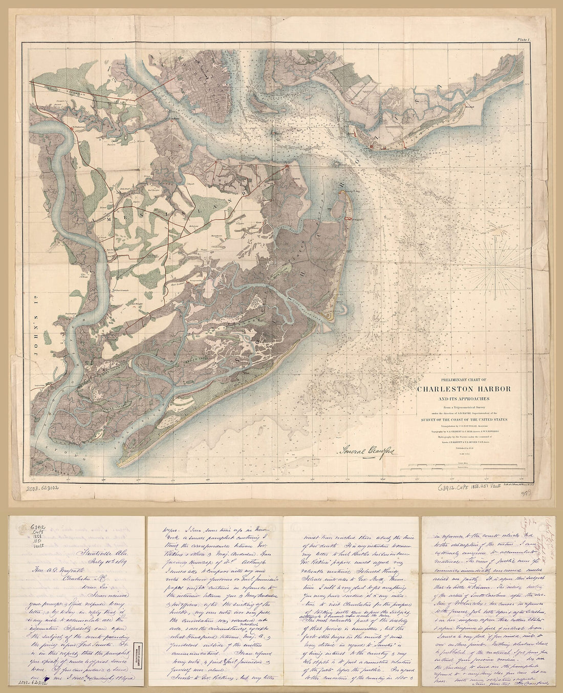 Preliminary Chart of Charleston Harbor and Its Approaches 1858Preliminary Chart of Charleston Harbor and Its Approaches 1858
- Regular price
-
$54.95 $218.95 - Regular price
-
$38.95 - Sale price
-
$54.95 $218.95
-
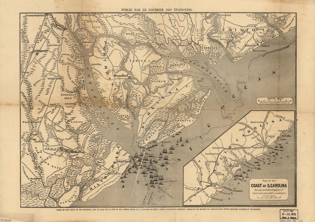 Carte De Port Royal Et Des Environs : Avec Un Plan De La Côte Du Sud, Depuis Bull's Bay (Caroline Du Sud), Jusqu'à Brunswick (Géorgie), Indiquant Les Moyens De Communication Entre Beaufort, Savanah sic Ft. Charleston in 1860Carte De Port Royal Et Des Environs : Avec Un Plan De La Côte Du Sud, Depuis Bull's Bay (Caroline Du Sud), Jusqu'à Brunswick (Géorgie), Indiquant Les Moyens De Communication Entre Beaufort, Savanah sic Ft. Charleston in 1860
- Regular price
-
$51.95 $88.95 - Regular price
-
$38.95 - Sale price
-
$51.95 $88.95
-
 Northern Georgia and Western and Central South Carolina in 1865Northern Georgia and Western and Central South Carolina in 1865
- Regular price
-
$58.95 $162.95 - Regular price
-
$41.95 - Sale price
-
$58.95 $162.95
-
 E. & G. W. Blunt's Map of Charleston and Vicinity 1862E. & G. W. Blunt's Map of Charleston and Vicinity 1862
- Regular price
-
$54.95 $129.95 - Regular price
-
$38.95 - Sale price
-
$54.95 $129.95
-
 Part of Charleston Harbor, Embracing Forts Moultrie, Sumter, Johnson, and Castle Pinckney, Also Sullivan, James & Morris Islands; and Showing the Position of the Star of the West, When Fired Into from Morris Island 1861Part of Charleston Harbor, Embracing Forts Moultrie, Sumter, Johnson, and Castle Pinckney, Also Sullivan, James & Morris Islands; and Showing the Position of the Star of the West, When Fired Into from Morris Island 1861
- Regular price
-
$51.95 $90.95 - Regular price
-
$38.95 - Sale price
-
$51.95 $90.95
-
 Carolina and Parts Adjacent, Shewing the Movements of the American and British Armies 1781Carolina and Parts Adjacent, Shewing the Movements of the American and British Armies 1781
- Regular price
-
$54.95 $129.95 - Regular price
-
$38.95 - Sale price
-
$54.95 $129.95
-
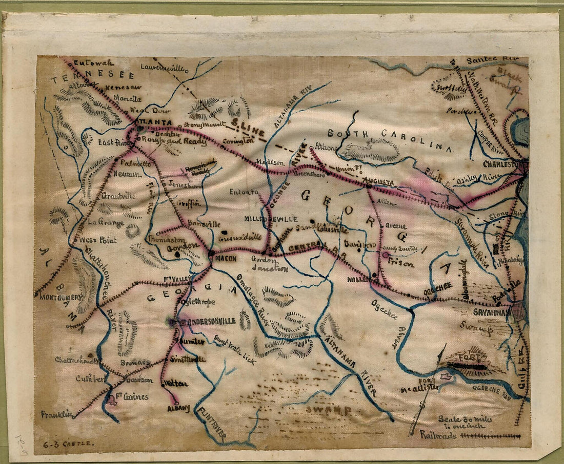 Map of South Carolina, Georgia, Alabama, and Tennessee. 1861Map of South Carolina, Georgia, Alabama, and Tennessee. 1861
- Regular price
-
$49.95 $129.95 - Regular price
-
$34.95 - Sale price
-
$49.95 $129.95
-
 Bluff, Or Nexttobethell, Which Continueth to the Sea; Also, the Four Sounds Savañah, Warsaw, Hossabaw, and St. Katharines, With Their Islands; Likewise Neuport, Or Serpent River, From Its Mouth to Benjehova Bluff in 1752Bluff, Or Nexttobethell, Which Continueth to the Sea; Also, the Four Sounds Savañah, Warsaw, Hossabaw, and St. Katharines, With Their Islands; Likewise Neuport, Or Serpent River, From Its Mouth to Benjehova Bluff in 1752
- Regular price
-
$58.95 $281.95 - Regular price
-
$41.95 - Sale price
-
$58.95 $281.95
-
 Map of the Defences of Charleston City and Harbor, Showing Also the Works Erected by the U.S. Forces In 1863 and 1864 1860Map of the Defences of Charleston City and Harbor, Showing Also the Works Erected by the U.S. Forces In 1863 and 1864 1860
- Regular price
-
$54.95 $184.95 - Regular price
-
$38.95 - Sale price
-
$54.95 $184.95


