150 products
-
 Map Showing the Route of the Washington and Atlantic Railroad and Its Connections 1883Map Showing the Route of the Washington and Atlantic Railroad and Its Connections 1883
- Regular price
-
$43.95 $88.95 - Regular price
-
$32.95 - Sale price
-
$43.95 $88.95
-
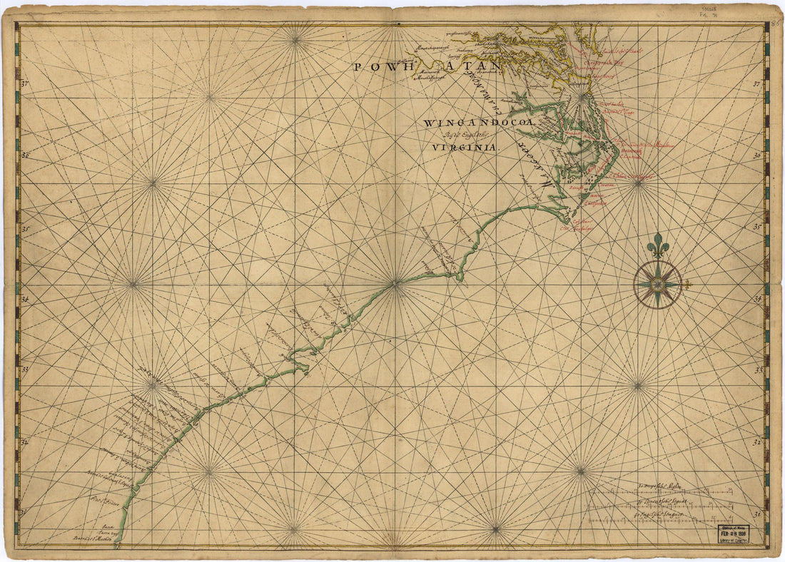 Map of Atlantic Coast of North America from the Chesapeake Bay to Florida 1639Map of Atlantic Coast of North America from the Chesapeake Bay to Florida 1639
- Regular price
-
$43.95 $88.95 - Regular price
-
$32.95 - Sale price
-
$43.95 $88.95
-
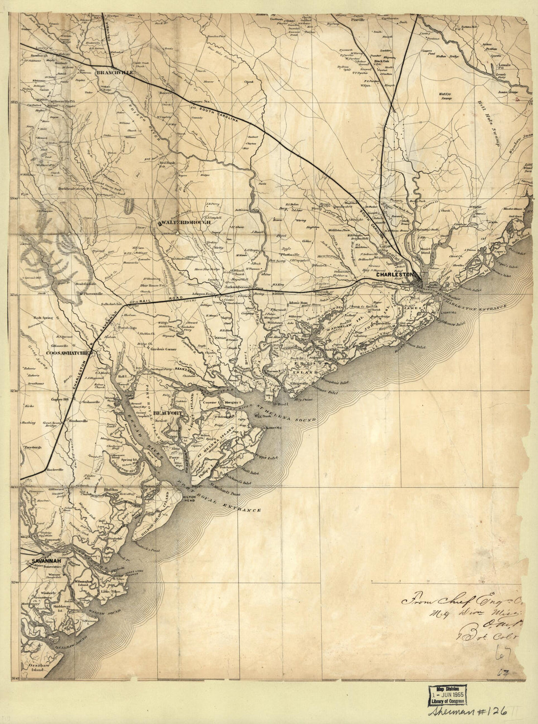 Map of the Coast of South Carolina, from Charleston to Savannah 1860Map of the Coast of South Carolina, from Charleston to Savannah 1860
- Regular price
-
$43.95 $88.95 - Regular price
-
$32.95 - Sale price
-
$43.95 $88.95
-
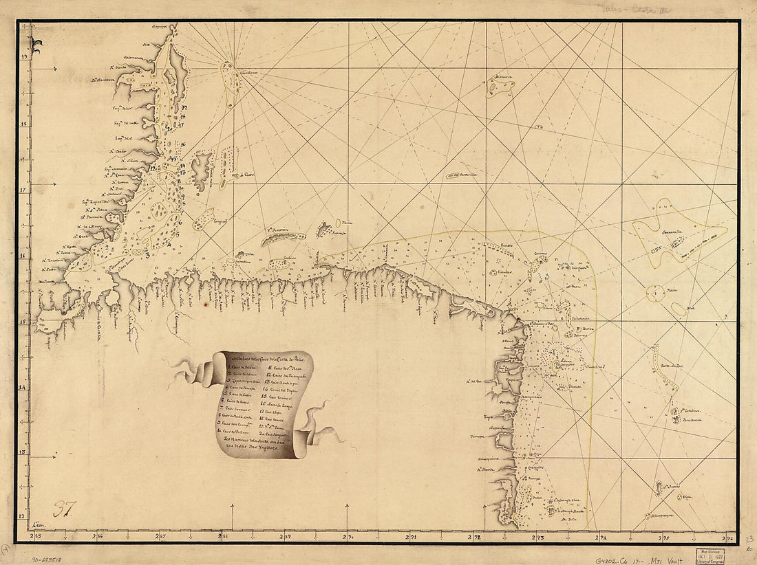
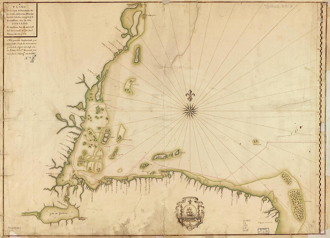 Plano De La Costa De Honduras Desde El Cavo De Gracias a Dios Hasta El De Catoche, Corregido Pr. Diferentes Pilotos, Año De 1756Plano De La Costa De Honduras Desde El Cavo De Gracias a Dios Hasta El De Catoche, Corregido Pr. Diferentes Pilotos, Año De 1756
- Regular price
-
$43.95 $149.95 - Regular price
-
$32.95 - Sale price
-
$43.95 $149.95
-
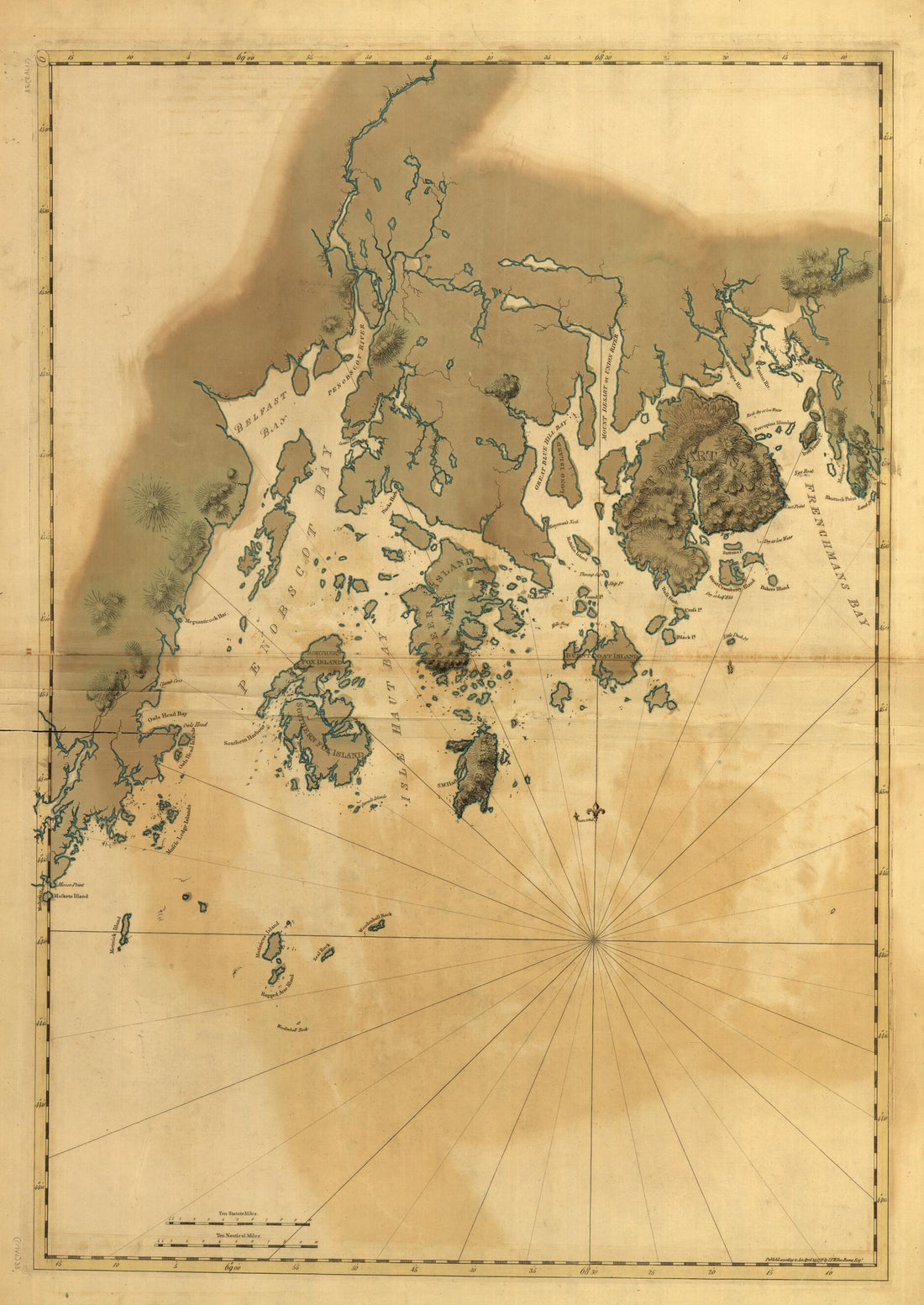
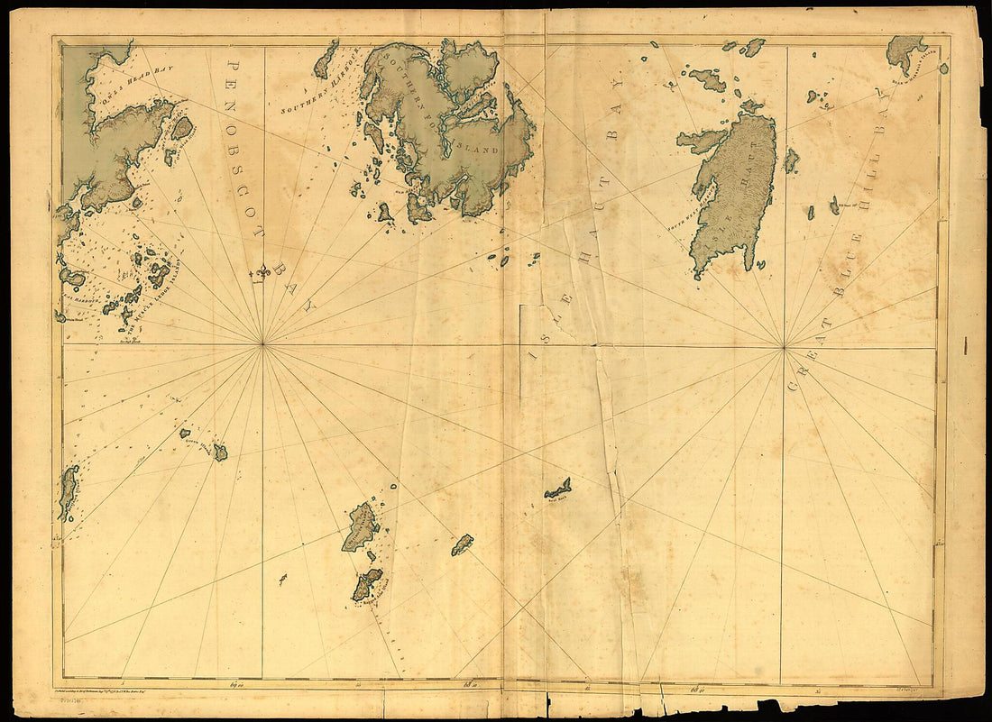 Coast of Maine Showing Entrances of Blue Hill Bay, Isle of Haut Bay, and Penobscot Bay, With Owls Head, Vinalhaven Island, Isle Au Haut, and Other Islands in 1776Coast of Maine Showing Entrances of Blue Hill Bay, Isle of Haut Bay, and Penobscot Bay, With Owls Head, Vinalhaven Island, Isle Au Haut, and Other Islands in 1776
- Regular price
-
$43.95 $156.95 - Regular price
-
$32.95 - Sale price
-
$43.95 $156.95
-
 Map Showing Caribbean Coast of Central America from Belize to Nicaragua 1700Map Showing Caribbean Coast of Central America from Belize to Nicaragua 1700
- Regular price
-
$43.95 $122.95 - Regular price
-
$32.95 - Sale price
-
$43.95 $122.95
-
 Coast of Maine from Frenchmans Bay to Mosquito Harbor 1776Coast of Maine from Frenchmans Bay to Mosquito Harbor 1776
- Regular price
-
$43.95 $143.95 - Regular price
-
$32.95 - Sale price
-
$43.95 $143.95
-
 Map Showing Caribbean Coast of Central America from Belize to Nicaragua 1700Map Showing Caribbean Coast of Central America from Belize to Nicaragua 1700
- Regular price
-
$43.95 $127.95 - Regular price
-
$32.95 - Sale price
-
$43.95 $127.95
-
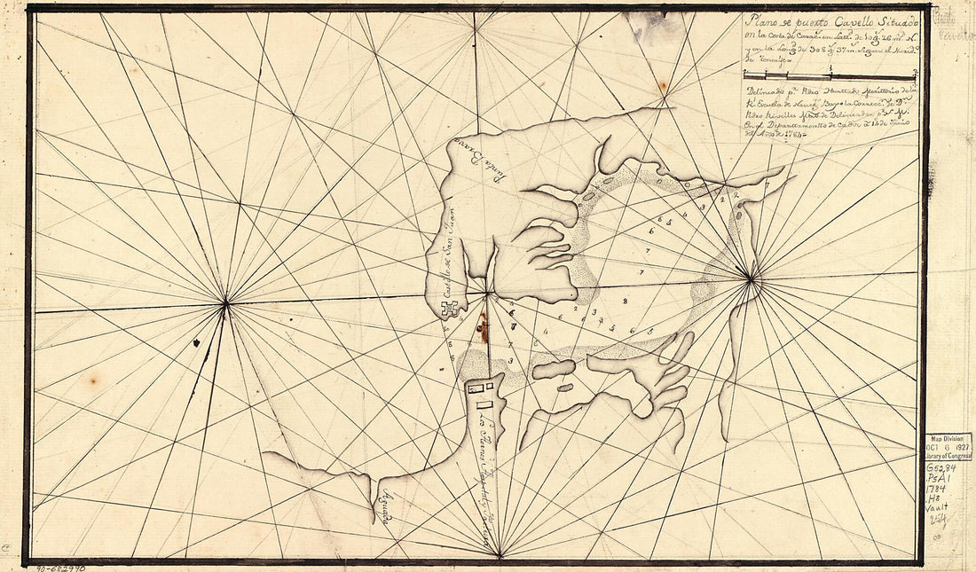 Plano De Puerto Cavello Situado En La Costa De Caracs. En Lattd. De 10 Gs. 26 Ms. N. Y En La Longd. De 308 Gs. 37 Ms. Segun El Merido. De Tenerife 1784Plano De Puerto Cavello Situado En La Costa De Caracs. En Lattd. De 10 Gs. 26 Ms. N. Y En La Longd. De 308 Gs. 37 Ms. Segun El Merido. De Tenerife 1784
- Regular price
-
$39.95 $99.95 - Regular price
-
$29.95 - Sale price
-
$39.95 $99.95
-
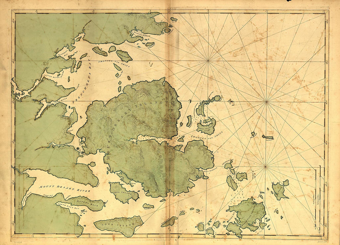 Mount Desert Island and Neighboring Coast of Maine 1776Mount Desert Island and Neighboring Coast of Maine 1776
- Regular price
-
$43.95 $149.95 - Regular price
-
$32.95 - Sale price
-
$43.95 $149.95
-
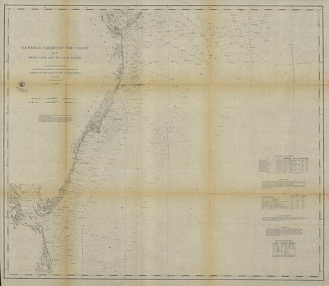 General Chart of the Coast. No. IV, from Cape May to Cape Henry. from a Trigonometrical Survey Under the Direction of F. R. Hassler and A. D. Bache, Superintendents of the Survey of the Coast of the United States 1862General Chart of the Coast. No. IV, from Cape May to Cape Henry. from a Trigonometrical Survey Under the Direction of F. R. Hassler and A. D. Bache, Superintendents of the Survey of the Coast of the United States 1862
- Regular price
-
$39.95 $204.95 - Regular price
-
$34.95 - Sale price
-
$39.95 $204.95
-
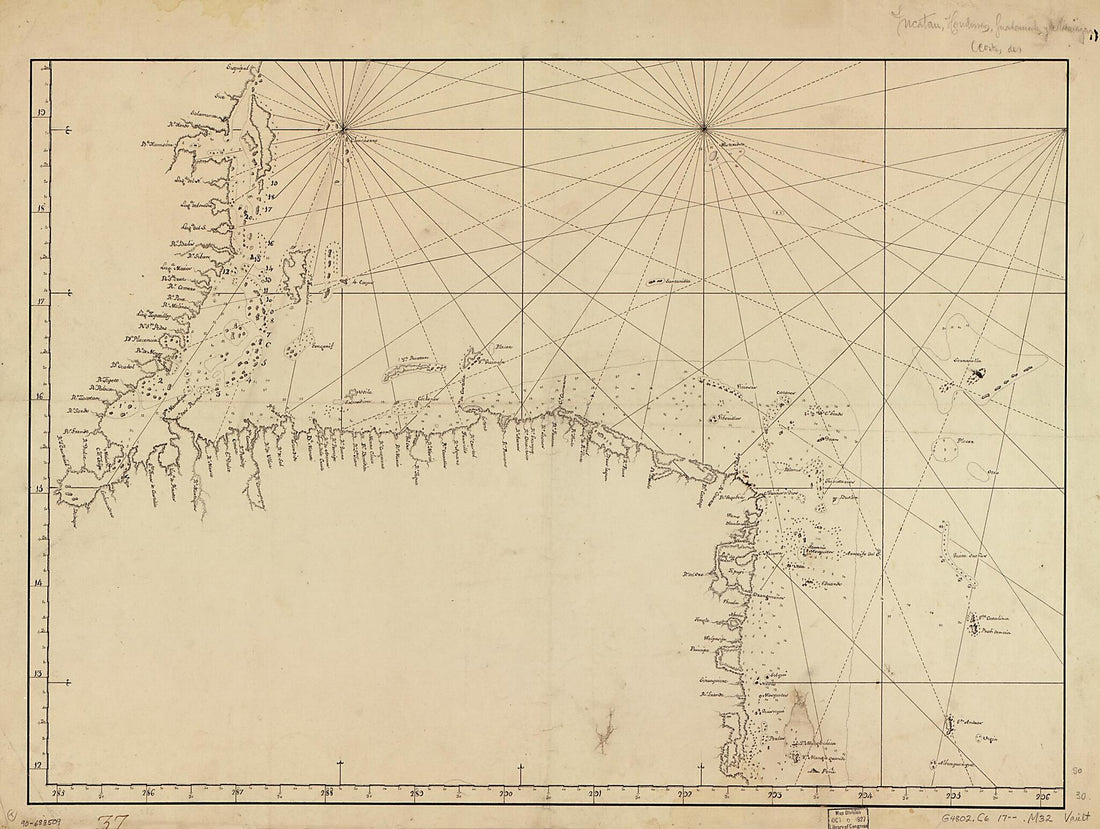
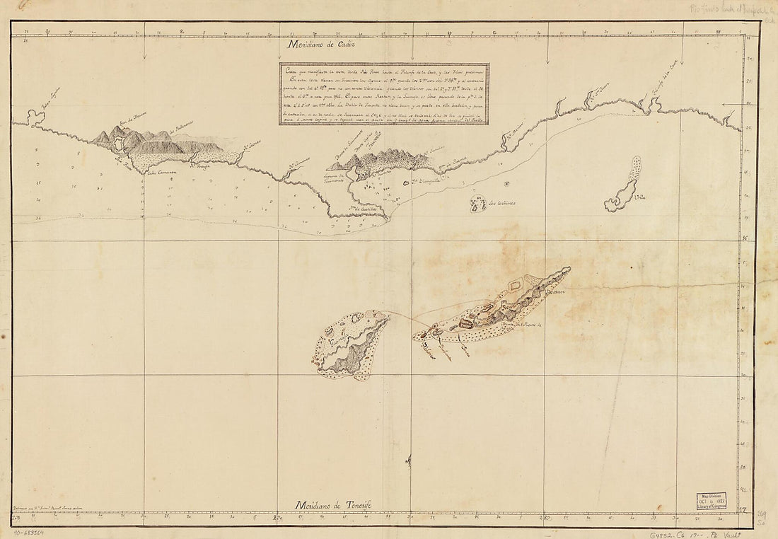 Carta Que Manifiesta La Costa Desde Río Tinto Hasta El Triunfo De La Cruz Y Las Islas Proximas 1700Carta Que Manifiesta La Costa Desde Río Tinto Hasta El Triunfo De La Cruz Y Las Islas Proximas 1700
- Regular price
-
$46.95 $110.95 - Regular price
-
$41.95 - Sale price
-
$46.95 $110.95


