135 products
-
 Mitchell's Dissected Map of the Middle States 1854Mitchell's Dissected Map of the Middle States 1854
- Regular price
-
$46.95 $110.95 - Regular price
-
$41.95 - Sale price
-
$46.95 $110.95
-
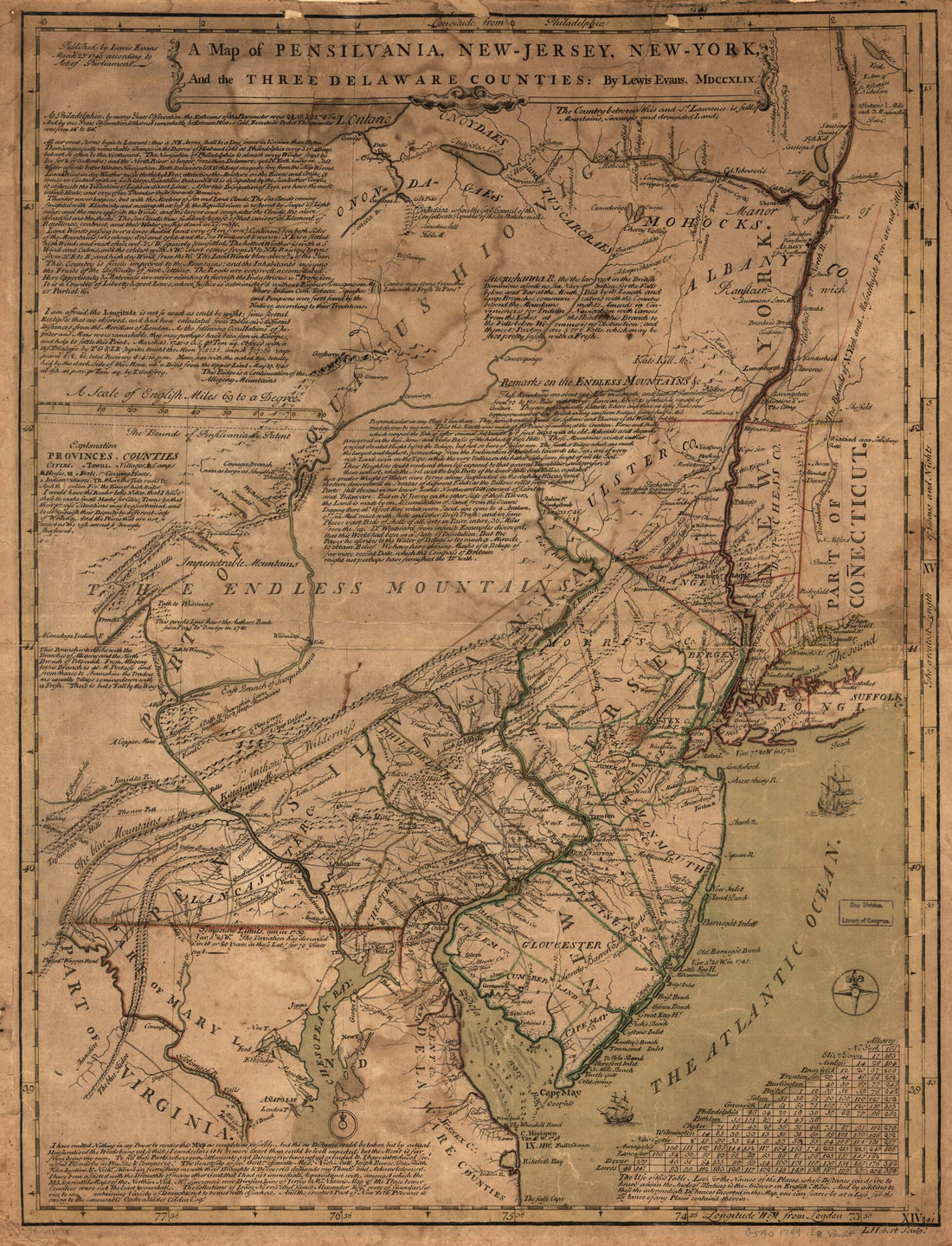 Jersey, New-York, and the Three Delaware Counties 1749Jersey, New-York, and the Three Delaware Counties 1749
- Regular price
-
$43.95 $213.95 - Regular price
-
$38.95 - Sale price
-
$43.95 $213.95
-
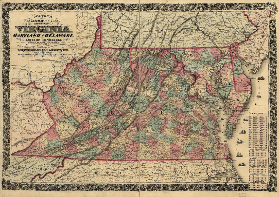 Colton's New Topographical Map of the States of Virginia, Maryland and Delaware, Showing Also Eastern Tennessee & Parts of Other Adjoining States, All the Fortifications, Military Stations, Rail Roads, Common Roads and Other Internal Improvements 1862Colton's New Topographical Map of the States of Virginia, Maryland and Delaware, Showing Also Eastern Tennessee & Parts of Other Adjoining States, All the Fortifications, Military Stations, Rail Roads, Common Roads and Other Internal Improvements 1862
- Regular price
-
$43.95 $150.95 - Regular price
-
$38.95 - Sale price
-
$43.95 $150.95
-
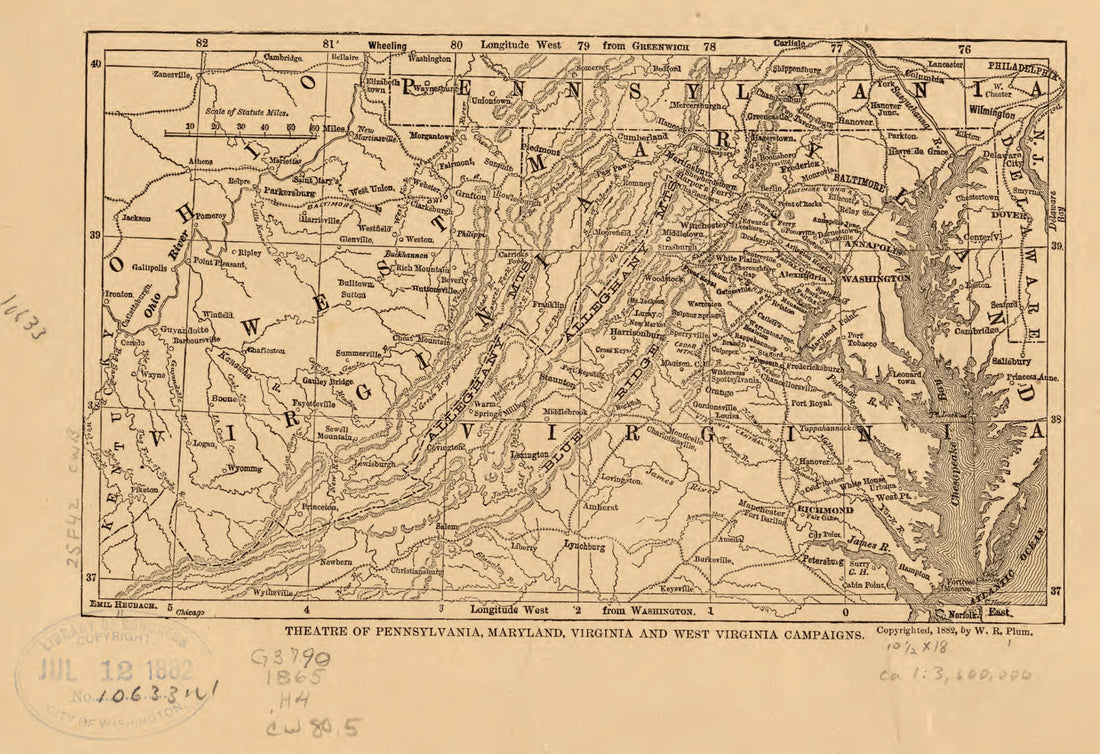 Middle Atlantic States 1882Middle Atlantic States 1882
- Regular price
-
$39.95 $99.95 - Regular price
-
$34.95 - Sale price
-
$39.95 $99.95
-
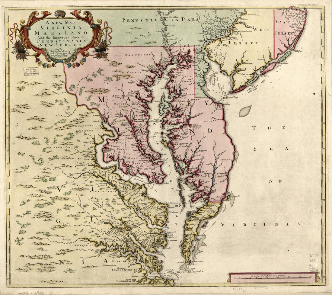 A New Map of Virginia, Maryland, and the Improved Parts of Pennsylvania & New Jersey 1685A New Map of Virginia, Maryland, and the Improved Parts of Pennsylvania & New Jersey 1685
- Regular price
-
$43.95 $83.95 - Regular price
-
$38.95 - Sale price
-
$43.95 $83.95
-
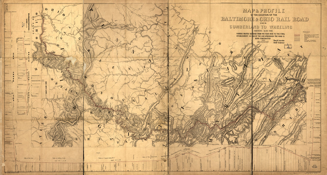 Map & Profile of the Location of the Baltimore & Ohio Rail Road From Cumberland to Wheeling Showing Also the Various Routes Surveyed From the 1836 to the Final Establishment In in 1850 of the Line Upon Which the Road Is Being Constructed; Benj. H. Lat...Map & Profile of the Location of the Baltimore & Ohio Rail Road From Cumberland to Wheeling Showing Also the Various Routes Surveyed From the 1836 to the Final Establishment In in 1850 of the Line Upon Which the Road Is Being Constructed; Benj. H. Lat...
- Regular price
-
$46.95 $221.95 - Regular price
-
$41.95 - Sale price
-
$46.95 $221.95
-
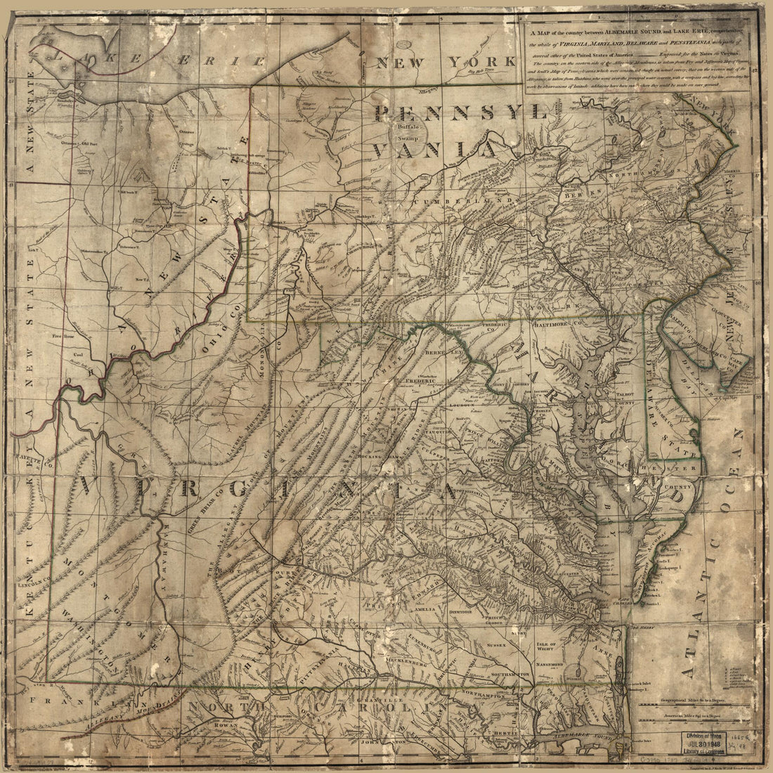 A Map of the Country Between Albemarle Sound, and Lake Erie, Comprehending the Whole of Virginia, Maryland, Delaware and Pensylvania, With Parts of Several Other of the United States of America 1787A Map of the Country Between Albemarle Sound, and Lake Erie, Comprehending the Whole of Virginia, Maryland, Delaware and Pensylvania, With Parts of Several Other of the United States of America 1787
- Regular price
-
$39.95 $83.95 - Regular price
-
$34.95 - Sale price
-
$39.95 $83.95
-
 A Chorographical Map, of the Country, Round Philadelphia. Carte Particuliere, Des Environs De Philadelphie 1780A Chorographical Map, of the Country, Round Philadelphia. Carte Particuliere, Des Environs De Philadelphie 1780
- Regular price
-
$39.95 $83.95 - Regular price
-
$29.95 - Sale price
-
$39.95 $83.95
-
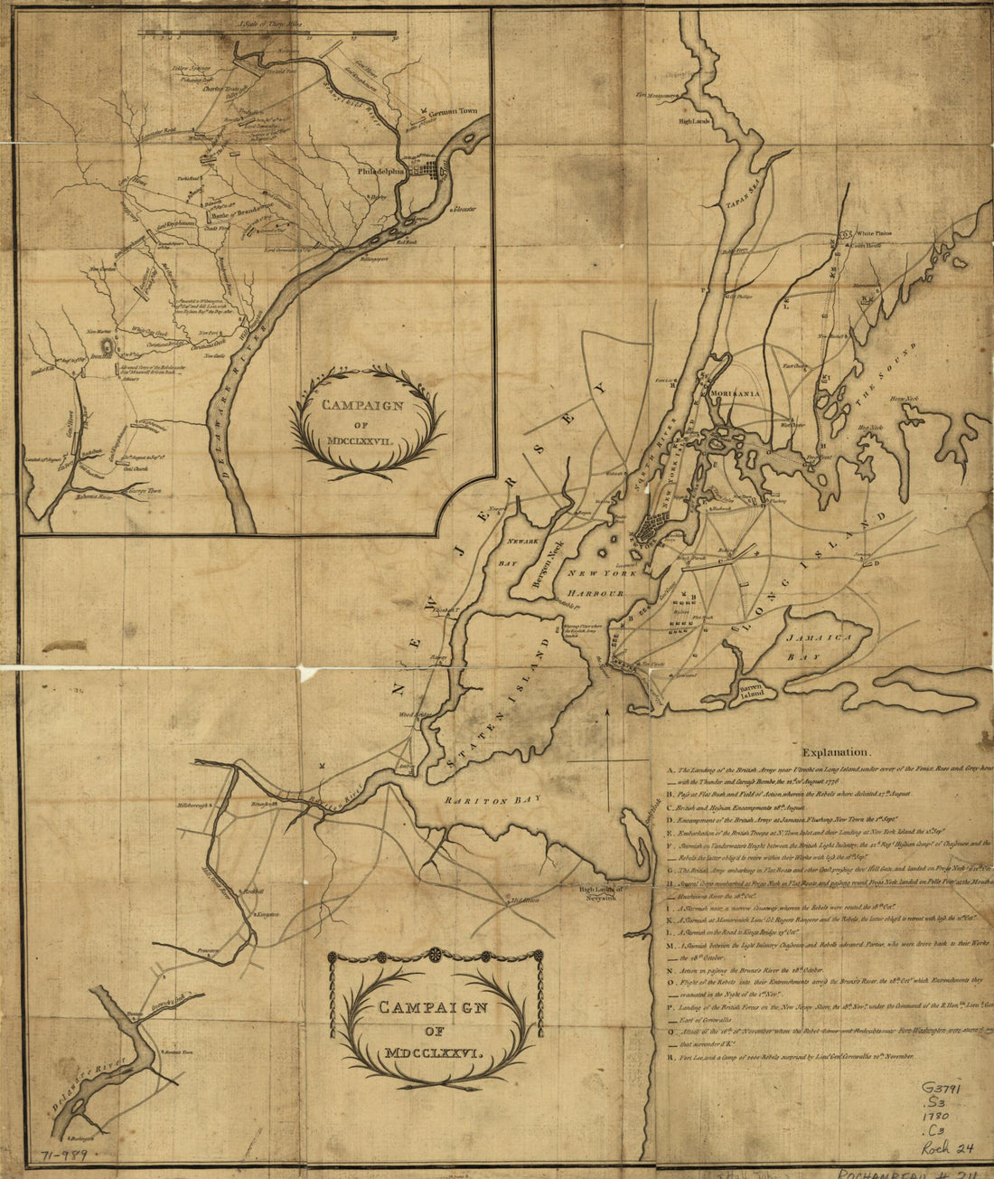 Campaign of MDCCLXXVI 1780Campaign of MDCCLXXVI 1780
- Regular price
-
$39.95 $83.95 - Regular price
-
$34.95 - Sale price
-
$39.95 $83.95
-
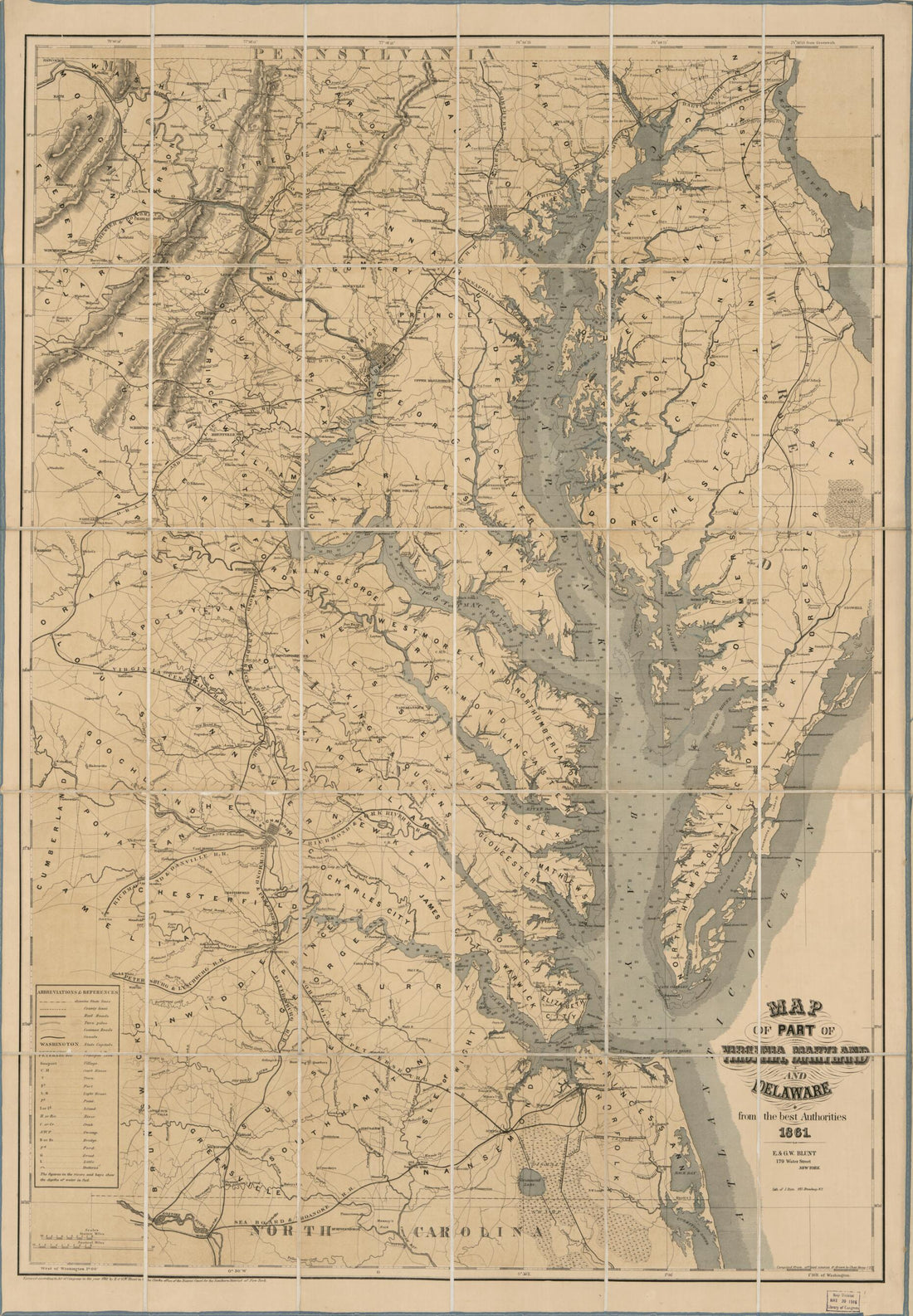 Map of Part of Virginia, Maryland, and Delaware : from the Best Authorities 1861Map of Part of Virginia, Maryland, and Delaware : from the Best Authorities 1861
- Regular price
-
$46.95 $119.95 - Regular price
-
$41.95 - Sale price
-
$46.95 $119.95
-
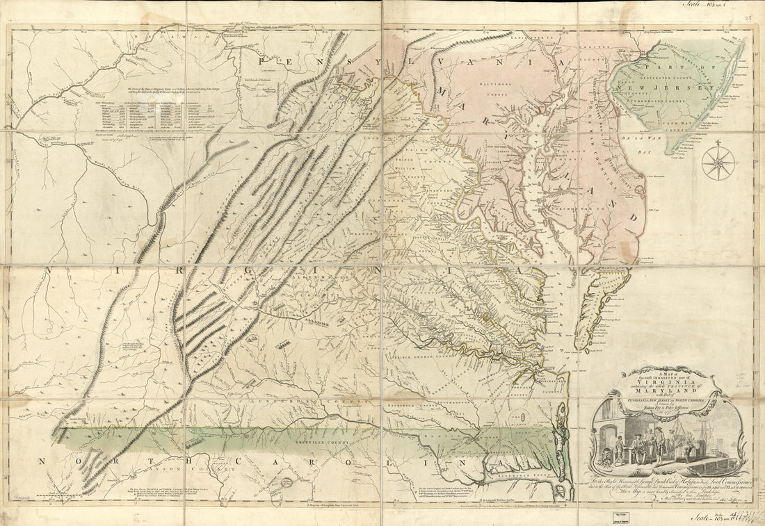 A Map of the Most Inhabited Part of Virginia Containing the Whole Province of Maryland : With Part of Pensilvania, New Jersey, and North Carolina in 1775A Map of the Most Inhabited Part of Virginia Containing the Whole Province of Maryland : With Part of Pensilvania, New Jersey, and North Carolina in 1775
- Regular price
-
$46.95 $151.95 - Regular price
-
$41.95 - Sale price
-
$46.95 $151.95
-
 A Map of the Country Round Philadelphia Including Part of New Jersey, New York, Staten Island, & Long Island 1776A Map of the Country Round Philadelphia Including Part of New Jersey, New York, Staten Island, & Long Island 1776
- Regular price
-
$39.95 $83.95 - Regular price
-
$29.95 - Sale price
-
$39.95 $83.95


