66 products
-
 Railroad Map Showing the Lands of the Standard Coal and Iron County Situated In the Hocking Valley, Ohio, and Their Relation to the Markets of the North and West 1881Railroad Map Showing the Lands of the Standard Coal and Iron County Situated In the Hocking Valley, Ohio, and Their Relation to the Markets of the North and West 1881
- Regular price
-
$43.95 $223.95 - Regular price
-
$38.95 - Sale price
-
$43.95 $223.95
-
 Chicago, Milwaukee, and St. Paul R'y : the Short Line Between Chicago, Milwaukee, St. Paul, Minneapolis 1885Chicago, Milwaukee, and St. Paul R'y : the Short Line Between Chicago, Milwaukee, St. Paul, Minneapolis 1885
- Regular price
-
$41.95 $99.95 - Regular price
-
$36.95 - Sale price
-
$41.95 $99.95
-
 Colton's County & Township Rail Road Map of Ohio, Indiana, & Michigan, With Parts of Adjoining States & Canada; Printed by Lang & Laing, 1859 1860Colton's County & Township Rail Road Map of Ohio, Indiana, & Michigan, With Parts of Adjoining States & Canada; Printed by Lang & Laing, 1859 1860
- Regular price
-
$43.95 $83.95 - Regular price
-
$38.95 - Sale price
-
$43.95 $83.95
-
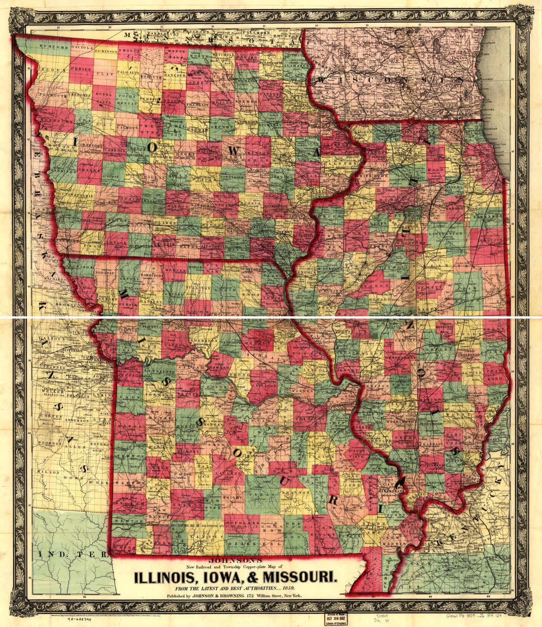 Plate Map of Illinois, Iowa, & Missouri, from the Latest and Best Authorities 1859Plate Map of Illinois, Iowa, & Missouri, from the Latest and Best Authorities 1859
- Regular price
-
$39.95 $83.95 - Regular price
-
$34.95 - Sale price
-
$39.95 $83.95
-
 Map Showing the Location of the Chicago & Northwestern Railway With Its Branches & Connections Through Illinois, Iowa, Nebraska, Wisconsin, Minnesota, Michigan in 1869Map Showing the Location of the Chicago & Northwestern Railway With Its Branches & Connections Through Illinois, Iowa, Nebraska, Wisconsin, Minnesota, Michigan in 1869
- Regular price
-
$46.95 $139.95 - Regular price
-
$41.95 - Sale price
-
$46.95 $139.95
-
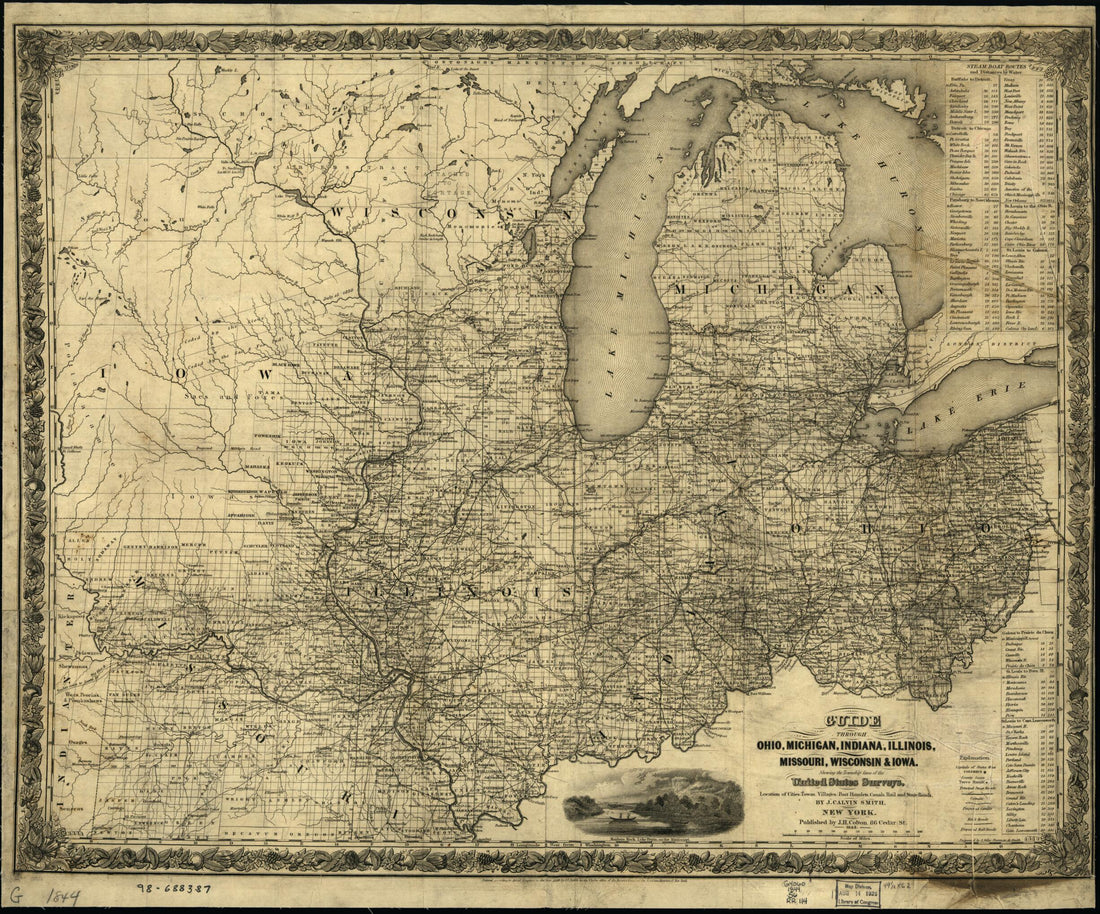 Guide Through Ohio, Michigan, Indiana, Illinois, Missouri, Wisconsin & Iowa; by J. Calvin Smith, Engraved by S. Stiles, Sherman & Smith 1844Guide Through Ohio, Michigan, Indiana, Illinois, Missouri, Wisconsin & Iowa; by J. Calvin Smith, Engraved by S. Stiles, Sherman & Smith 1844
- Regular price
-
$39.95 $83.95 - Regular price
-
$34.95 - Sale price
-
$39.95 $83.95
-
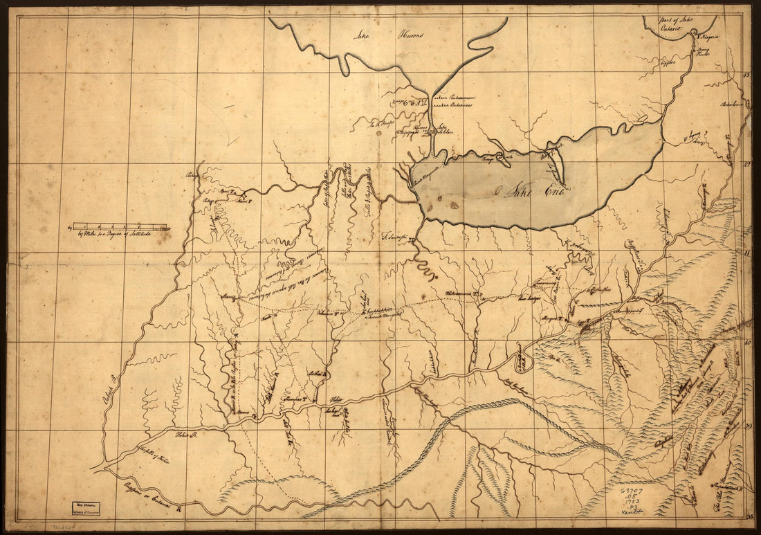 A Trader's Map of the Ohio Country Before 1753A Trader's Map of the Ohio Country Before 1753
- Regular price
-
$46.95 $99.95 - Regular price
-
$41.95 - Sale price
-
$46.95 $99.95
-
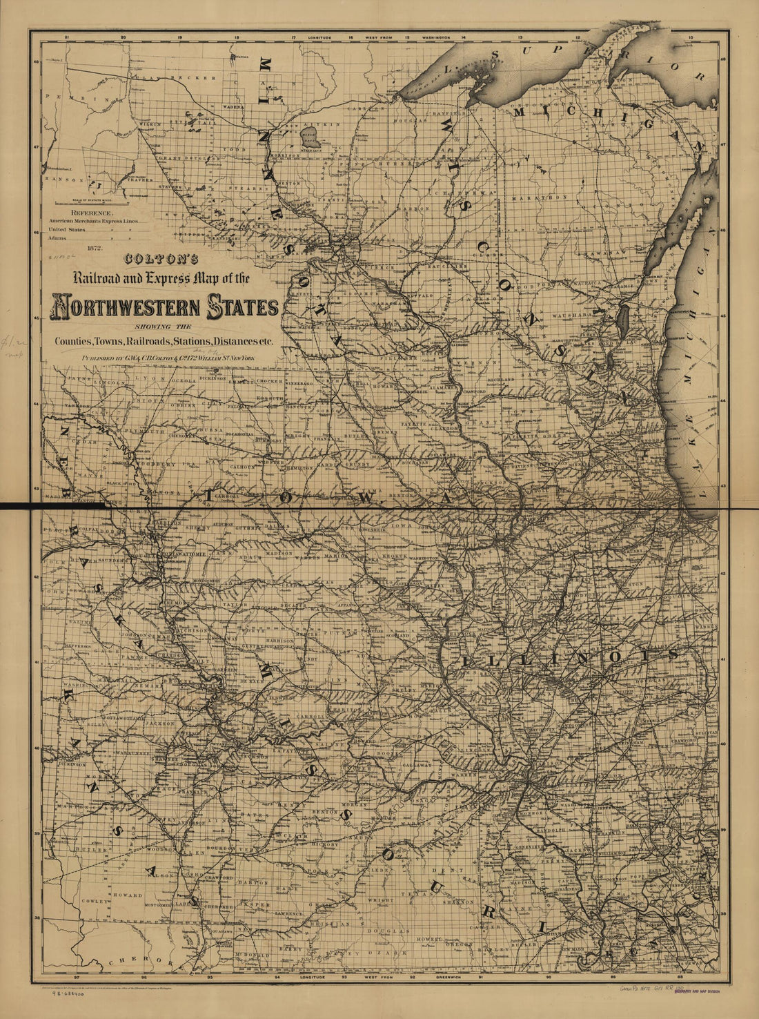 Colton's Railroad and Express Map of the Northwestern States Showing Countries, Towns, Railroads, Station, Distances, Etc 1872Colton's Railroad and Express Map of the Northwestern States Showing Countries, Towns, Railroads, Station, Distances, Etc 1872
- Regular price
-
$43.95 $130.95 - Regular price
-
$32.95 - Sale price
-
$43.95 $130.95
-
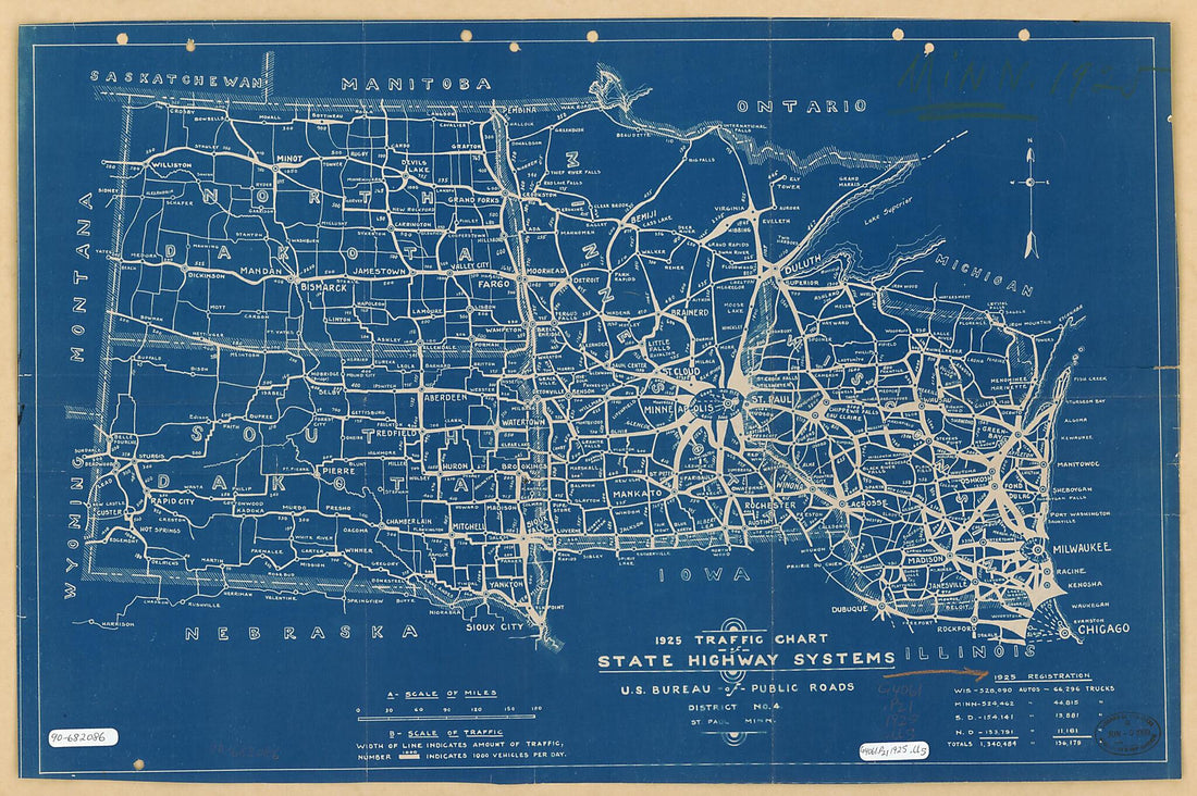 Traffic Chart, State Highways Systems : North Central States 1925Traffic Chart, State Highways Systems : North Central States 1925
- Regular price
-
$46.95 $105.95 - Regular price
-
$41.95 - Sale price
-
$46.95 $105.95
-
 Map Showing the Line of the Cairo & Fulton Railroad and Its Connections in 1871Map Showing the Line of the Cairo & Fulton Railroad and Its Connections in 1871
- Regular price
-
$39.95 $83.95 - Regular price
-
$34.95 - Sale price
-
$39.95 $83.95
-
 New County and Rail Road Map of the Western States and Valley of the Mississippi in 1874New County and Rail Road Map of the Western States and Valley of the Mississippi in 1874
- Regular price
-
$39.95 $152.95 - Regular price
-
$34.95 - Sale price
-
$39.95 $152.95
-
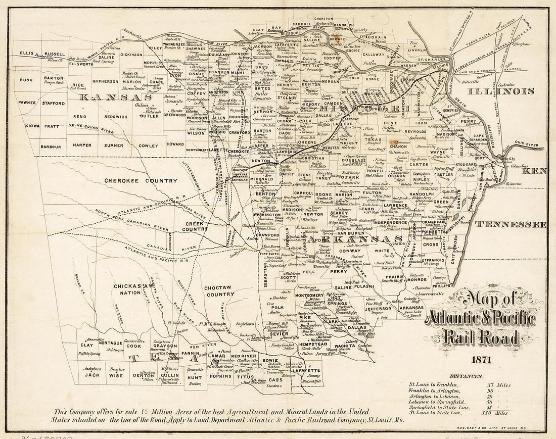 Map of Atlantic & Pacific Rail Road, 1871Map of Atlantic & Pacific Rail Road, 1871
- Regular price
-
$39.95 $83.95 - Regular price
-
$29.95 - Sale price
-
$39.95 $83.95


