1822 products
-
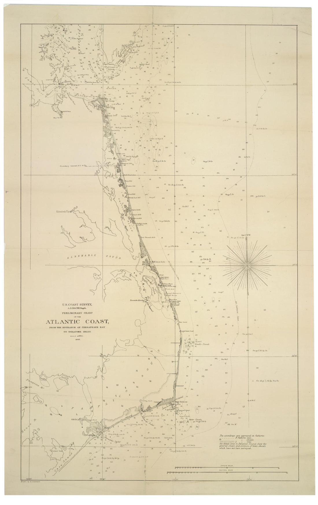 Preliminary Chart of the Atlantic Coast : from the Entrance of Chesapeake Bay to Ocracoke Inlet (U.S. Coast Survey, A.D. Bache Supdt.) 1862Preliminary Chart of the Atlantic Coast : from the Entrance of Chesapeake Bay to Ocracoke Inlet (U.S. Coast Survey, A.D. Bache Supdt.) 1862
- Regular price
-
$46.95 $99.95 - Regular price
-
$41.95 - Sale price
-
$46.95 $99.95
-
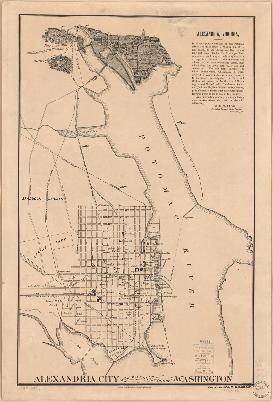 Alexandria City Showing Connections With Washington 1900Alexandria City Showing Connections With Washington 1900
- Regular price
-
$46.95 $99.95 - Regular price
-
$41.95 - Sale price
-
$46.95 $99.95
-
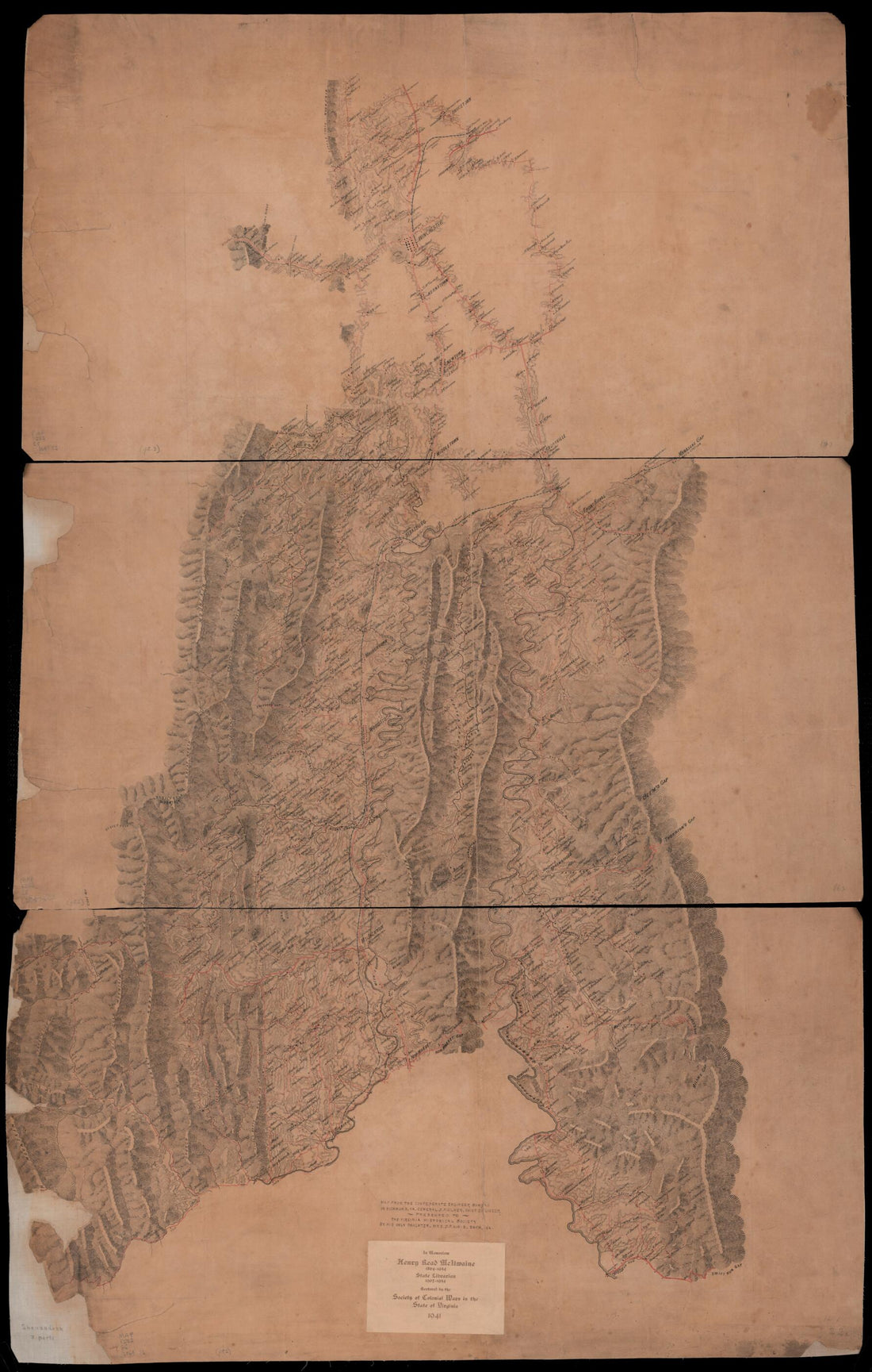 Map of the Lower Shenandoah Valley of Virginia 1864Map of the Lower Shenandoah Valley of Virginia 1864
- Regular price
-
$46.95 $165.95 - Regular price
-
$41.95 - Sale price
-
$46.95 $165.95
-
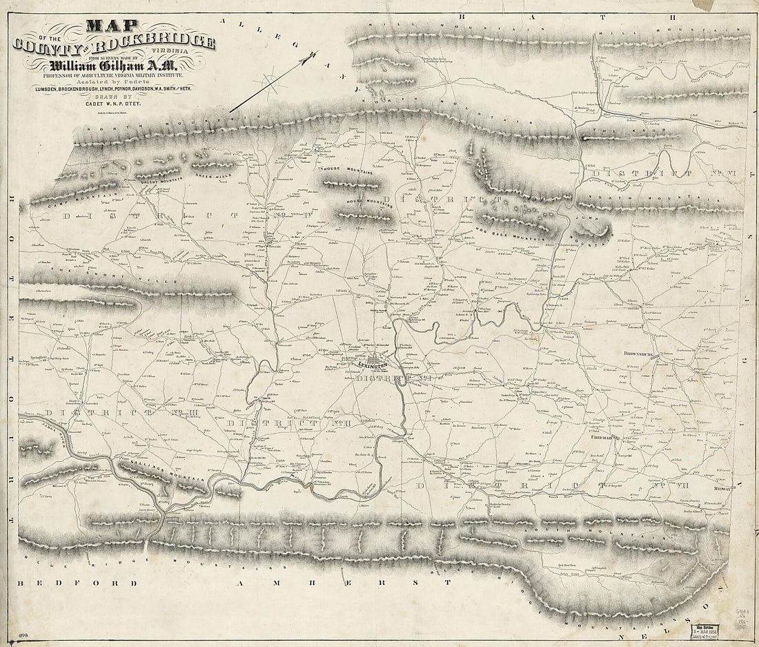 Map of the County of Rockbridge, Virginia 1860Map of the County of Rockbridge, Virginia 1860
- Regular price
-
$39.95 $216.95 - Regular price
-
$34.95 - Sale price
-
$39.95 $216.95
-
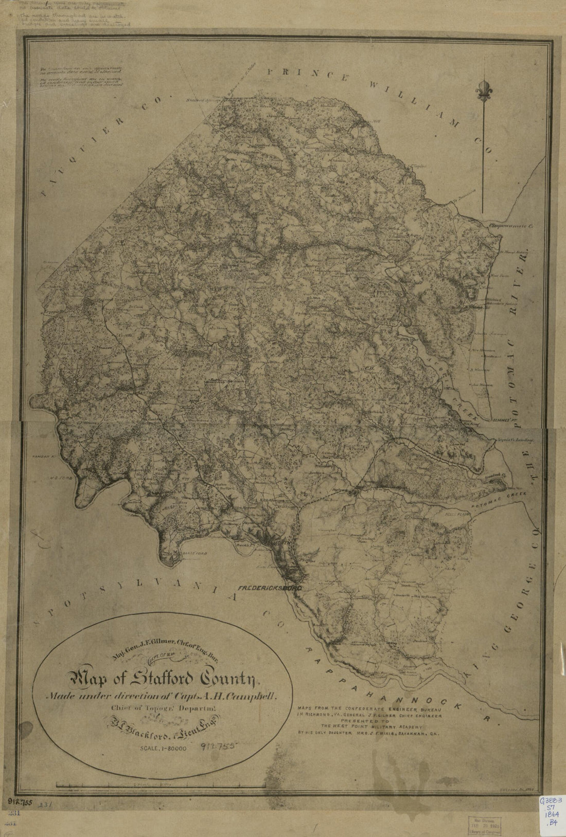 Map of Stafford County 1864Map of Stafford County 1864
- Regular price
-
$46.95 $175.95 - Regular price
-
$41.95 - Sale price
-
$46.95 $175.95
-
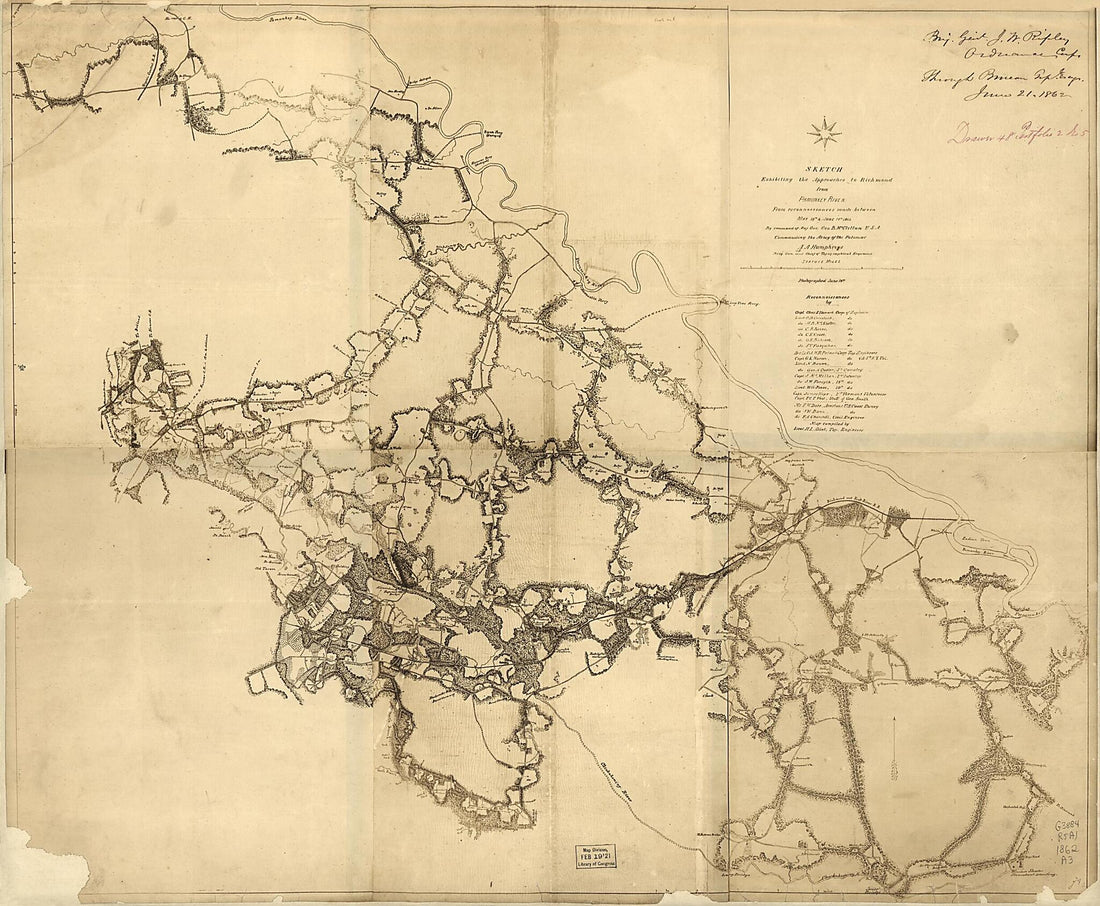 Sketch Exhibiting the Approachs to Richmond from Pamunkey River : from Reconnoissances sic Made Between May 18th and June 14th,1862Sketch Exhibiting the Approachs to Richmond from Pamunkey River : from Reconnoissances sic Made Between May 18th and June 14th,1862
- Regular price
-
$39.95 $143.95 - Regular price
-
$34.95 - Sale price
-
$39.95 $143.95
-
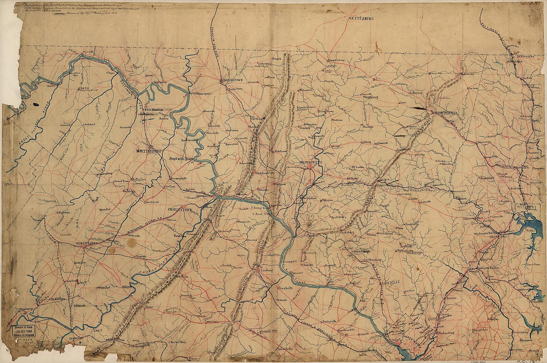 Part of Map of Portions of the Milit'y Dep'ts of Washington, Pennsylvania, Annapolis, and North Eastern Virginia (Map of Portions of the Milit'y Dep'ts of Washington, Pennsylvania, Annapolis and North Eastern Virginia) 1861Part of Map of Portions of the Milit'y Dep'ts of Washington, Pennsylvania, Annapolis, and North Eastern Virginia (Map of Portions of the Milit'y Dep'ts of Washington, Pennsylvania, Annapolis and North Eastern Virginia) 1861
- Regular price
-
$46.95 $171.95 - Regular price
-
$41.95 - Sale price
-
$46.95 $171.95
-
 Map of the Battlefield of Bull Run, Virginia. Brig. Gen. Irvin McDowell Commanding the U.S. Forces, Gen. G. i.e. P. T. Beauregard Commanding the Confederate Forces, July 21st 1861 1877Map of the Battlefield of Bull Run, Virginia. Brig. Gen. Irvin McDowell Commanding the U.S. Forces, Gen. G. i.e. P. T. Beauregard Commanding the Confederate Forces, July 21st 1861 1877
- Regular price
-
$46.95 $234.95 - Regular price
-
$41.95 - Sale price
-
$46.95 $234.95
-
 Pictorial Map of the Seat of War, Showing Parts of the States of Maryland, Delaware, Virginia, and North Carolina, and Also the Coast Line from Cape Henry to Fort Pickens, With the United States Blockading Fleet 1861Pictorial Map of the Seat of War, Showing Parts of the States of Maryland, Delaware, Virginia, and North Carolina, and Also the Coast Line from Cape Henry to Fort Pickens, With the United States Blockading Fleet 1861
- Regular price
-
$43.95 $88.95 - Regular price
-
$32.95 - Sale price
-
$43.95 $88.95
-
 Map of the Shenandoah Valley Campaign, 1864Map of the Shenandoah Valley Campaign, 1864
- Regular price
-
$39.95 $83.95 - Regular price
-
$29.95 - Sale price
-
$39.95 $83.95
-
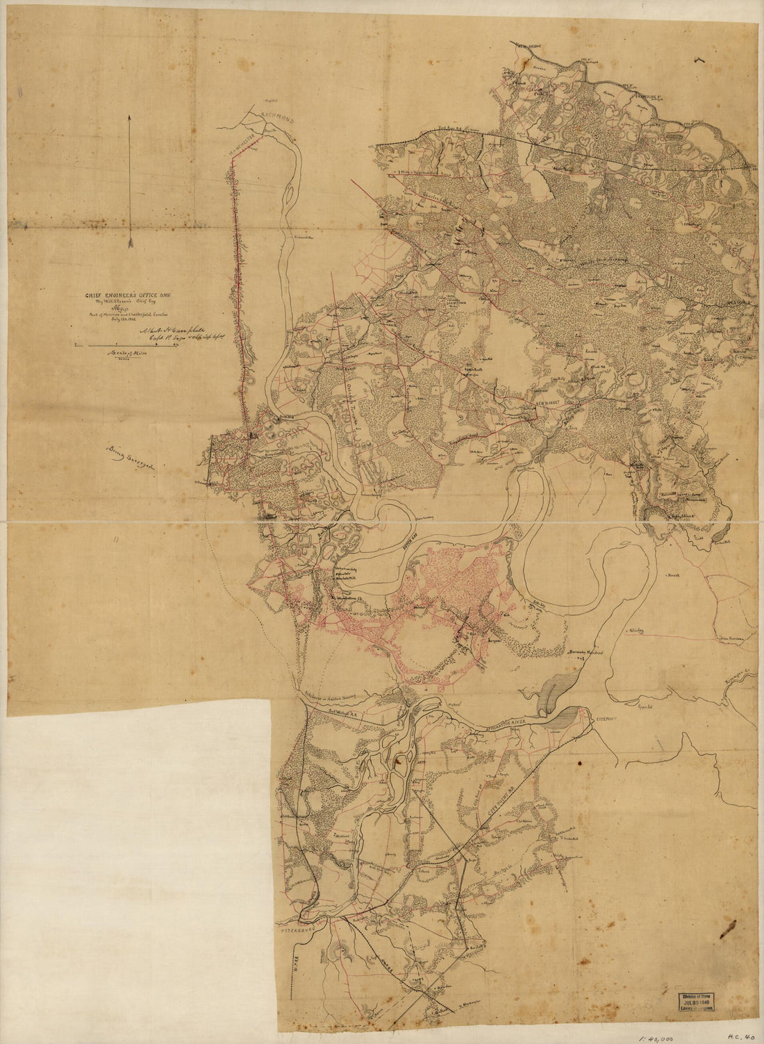 Map of Part of Henrico and Chesterfield Counties, July 12th, 1862Map of Part of Henrico and Chesterfield Counties, July 12th, 1862
- Regular price
-
$43.95 $131.95 - Regular price
-
$32.95 - Sale price
-
$43.95 $131.95
-
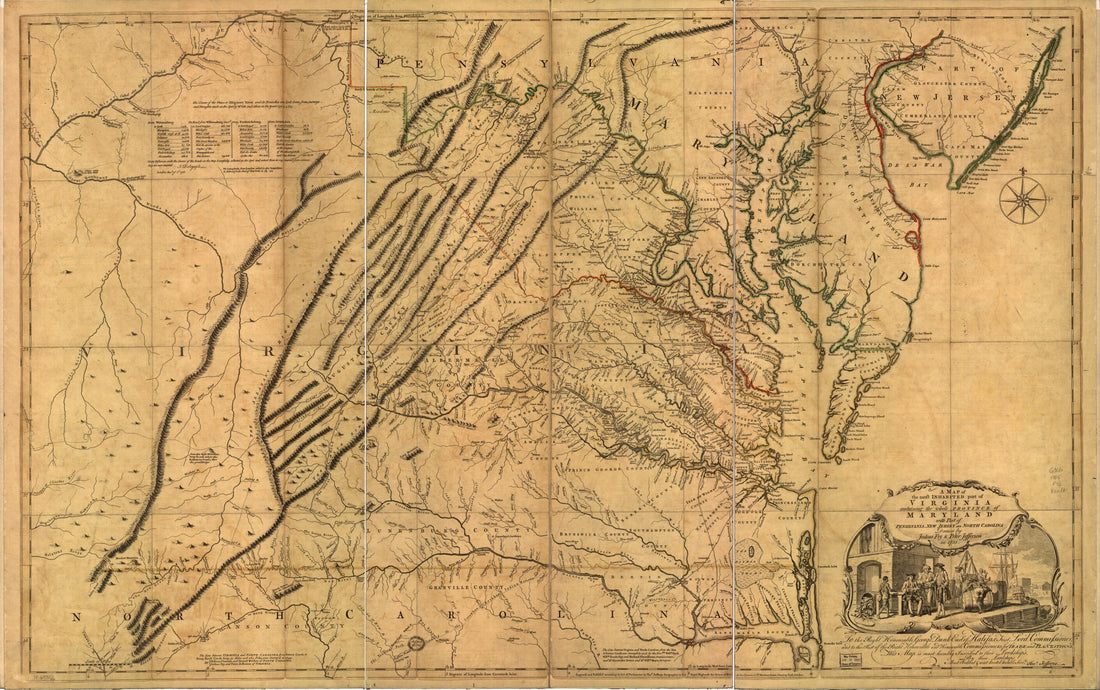 A Map of the Most Inhabited Part of Virginia Containing the Whole Province of Maryland With Part of Pensilvania, New Jersey and North Carolina 1755A Map of the Most Inhabited Part of Virginia Containing the Whole Province of Maryland With Part of Pensilvania, New Jersey and North Carolina 1755
- Regular price
-
$46.95 $165.95 - Regular price
-
$41.95 - Sale price
-
$46.95 $165.95


