1822 products
-
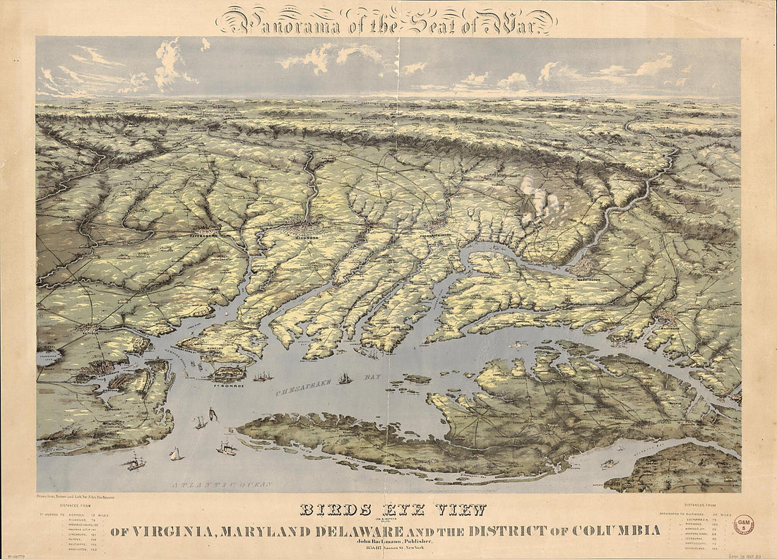 Panorama of the Seat of War. Birds Eye View of Virginia, Maryland, Delaware, and the District of Columbia (Birds Eye View of Virginia, Maryland, Delaware, and the District of Columbia) 1861Panorama of the Seat of War. Birds Eye View of Virginia, Maryland, Delaware, and the District of Columbia (Birds Eye View of Virginia, Maryland, Delaware, and the District of Columbia) 1861
- Regular price
-
$43.95 $248.95 - Regular price
-
$32.95 - Sale price
-
$43.95 $248.95
-
 Map of Northern Virginia and Part of Maryland 1862Map of Northern Virginia and Part of Maryland 1862
- Regular price
-
$39.95 $89.95 - Regular price
-
$34.95 - Sale price
-
$39.95 $89.95
-
 A Map of the Most Inhabited Part of Virginia Containing the Whole Province of Maryland With Part of Pensilvania, New Jersey and North Carolina in 1775A Map of the Most Inhabited Part of Virginia Containing the Whole Province of Maryland With Part of Pensilvania, New Jersey and North Carolina in 1775
- Regular price
-
$39.95 $311.95 - Regular price
-
$34.95 - Sale price
-
$39.95 $311.95
-
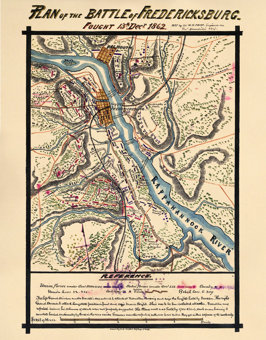 Plan of the Battle of Fredericksburg. Fought 13th Decr. 1862 12-13Plan of the Battle of Fredericksburg. Fought 13th Decr. 1862 12-13
- Regular price
-
$39.95 $83.95 - Regular price
-
$29.95 - Sale price
-
$39.95 $83.95
-
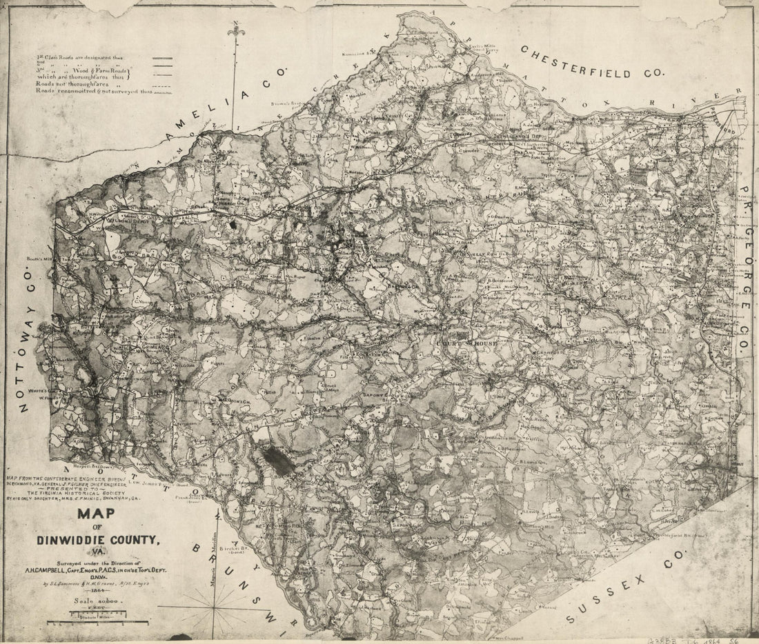 Map of Dinwiddie County, Va 1864Map of Dinwiddie County, Va 1864
- Regular price
-
$39.95 $208.95 - Regular price
-
$34.95 - Sale price
-
$39.95 $208.95
-
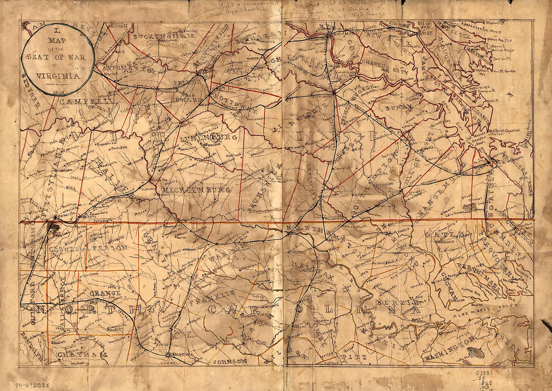 Map of the Seat of War In Virginia 1865Map of the Seat of War In Virginia 1865
- Regular price
-
$39.95 $88.95 - Regular price
-
$29.95 - Sale price
-
$39.95 $88.95
-
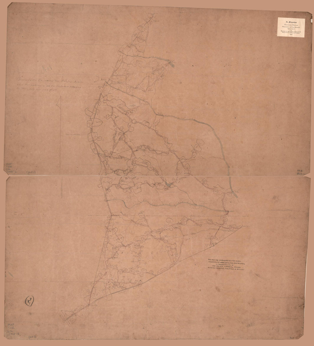 Greensville Co. East of the Halifax Road and That Portion of No. Ca. Included Between the Petersburg and S.& R. Rl. Rds 1863Greensville Co. East of the Halifax Road and That Portion of No. Ca. Included Between the Petersburg and S.& R. Rl. Rds 1863
- Regular price
-
$39.95 $149.95 - Regular price
-
$34.95 - Sale price
-
$39.95 $149.95
-
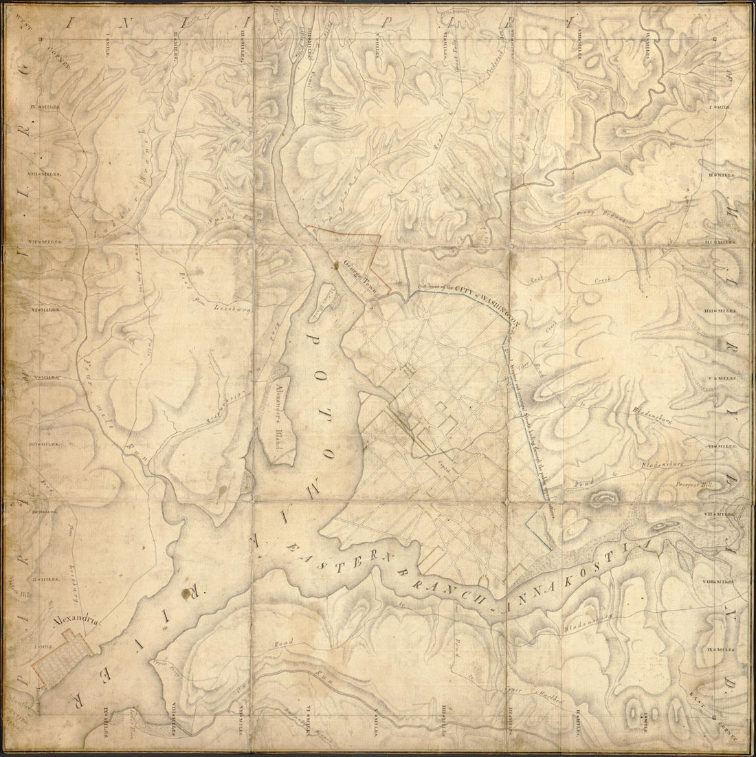 Territory of Columbia 1793Territory of Columbia 1793
- Regular price
-
$39.95 $83.95 - Regular price
-
$34.95 - Sale price
-
$39.95 $83.95
-
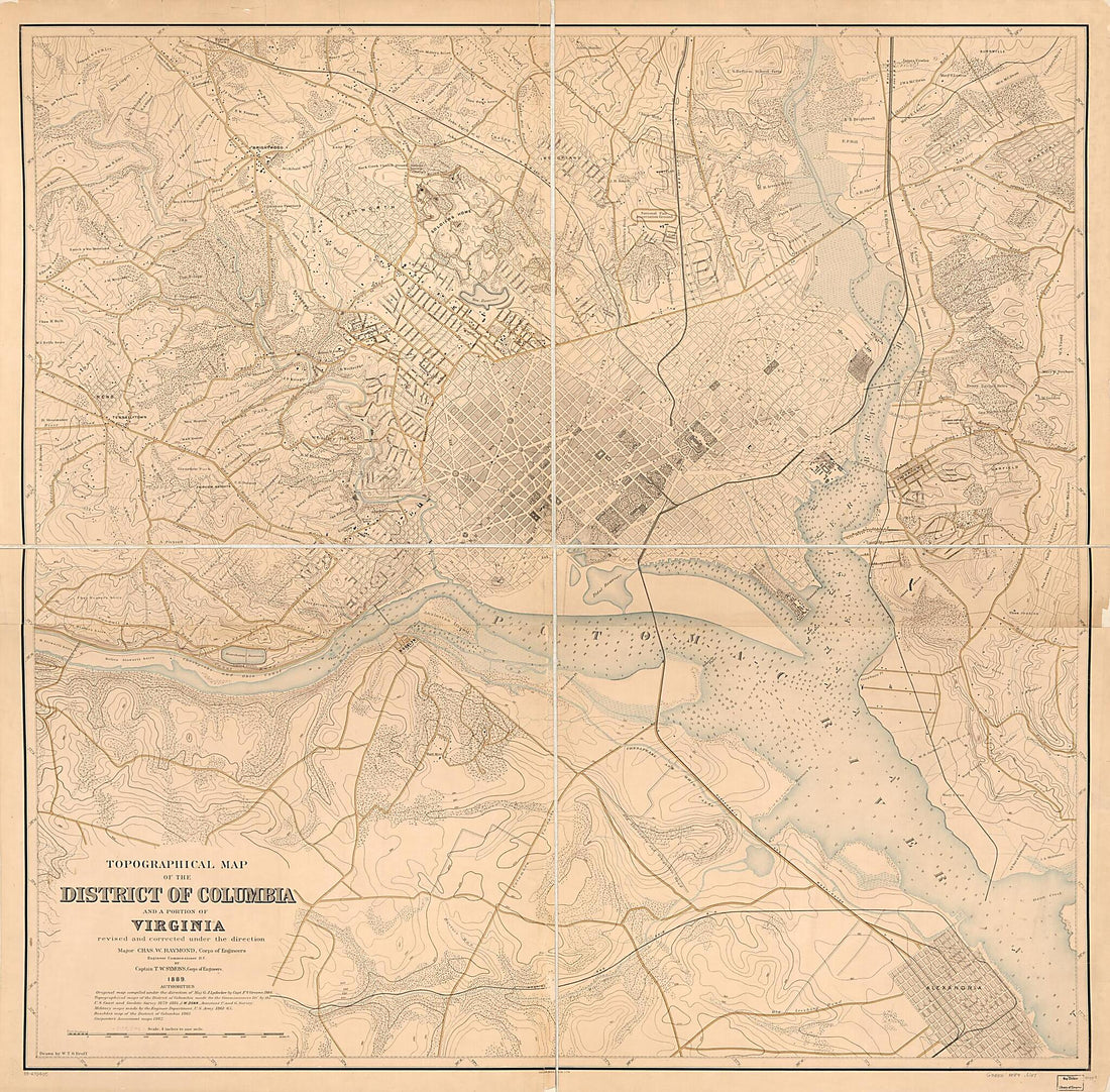 Topographical Map of the District of Columbia and a Portion of Virginia 1889Topographical Map of the District of Columbia and a Portion of Virginia 1889
- Regular price
-
$39.95 $262.95 - Regular price
-
$34.95 - Sale price
-
$39.95 $262.95
-
 Map of Virginia in 1874Map of Virginia in 1874
- Regular price
-
$39.95 $99.95 - Regular price
-
$29.95 - Sale price
-
$39.95 $99.95
-
 Five Sketches Along the Valley Pike In the Vicinity of Fishers Hill, Strasburg, Cottontown, Mount Hope, Toms Brook, Etc. in 1860Five Sketches Along the Valley Pike In the Vicinity of Fishers Hill, Strasburg, Cottontown, Mount Hope, Toms Brook, Etc. in 1860
- Regular price
-
$39.95 $83.95 - Regular price
-
$29.95 - Sale price
-
$39.95 $83.95
-
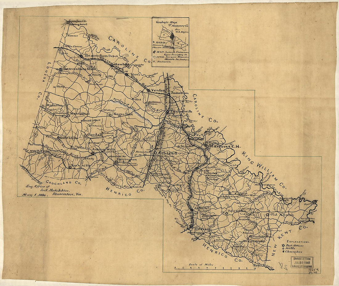 Map of Hanover County, Virginia in 1886Map of Hanover County, Virginia in 1886
- Regular price
-
$39.95 $93.95 - Regular price
-
$34.95 - Sale price
-
$39.95 $93.95


