890 products
-
Plan of Square No. 378 : Showing the True Course of the Creek Running Through It at the Time It Was Changed In Eighteen Hundred & Twenty Six, & the Present Direction, Since the Change 1828
 Plan of Square No. 378 : Showing the True Course of the Creek Running Through It at the Time It Was Changed In Eighteen Hundred & Twenty Six, & the Present Direction, Since the Change 1828
- Regular price
-
From
$34.95 - Regular price
-
$49.99 - Sale price
-
From
$34.95
-
Map of the Division of the North Half of a Tract of Land Called St. Elisabeth, Situated On the East Side of the Anacostia River In the County of Washington, D.C. : Surveyed Into One Acre Lots for Sale to Freedmen in 1867
 Map of the Division of the North Half of a Tract of Land Called St. Elisabeth, Situated On the East Side of the Anacostia River In the County of Washington, D.C. : Surveyed Into One Acre Lots for Sale to Freedmen in 1867
- Regular price
-
From
$41.95 - Regular price
-
$66.99 - Sale price
-
From
$41.95
-
Working Plan Showing Approximate Grades and Drains for the Treatment of That Section of the District of Columbia Situated South of Pennsylvania Avenue and North of B Street South West Washington D.C 1900
 Working Plan Showing Approximate Grades and Drains for the Treatment of That Section of the District of Columbia Situated South of Pennsylvania Avenue and North of B Street South West Washington D.C 1900
- Regular price
-
From
$41.95 - Regular price
-
$66.99 - Sale price
-
From
$41.95
-
Map of the City of Washington (District of Columbia) 1870
 Map of the City of Washington (District of Columbia) 1870
- Regular price
-
From
$19.95 - Regular price
-
$29.95 - Sale price
-
From
$19.95
-
Map of the City of Washington and Suburbs, District of Columbia in 1886
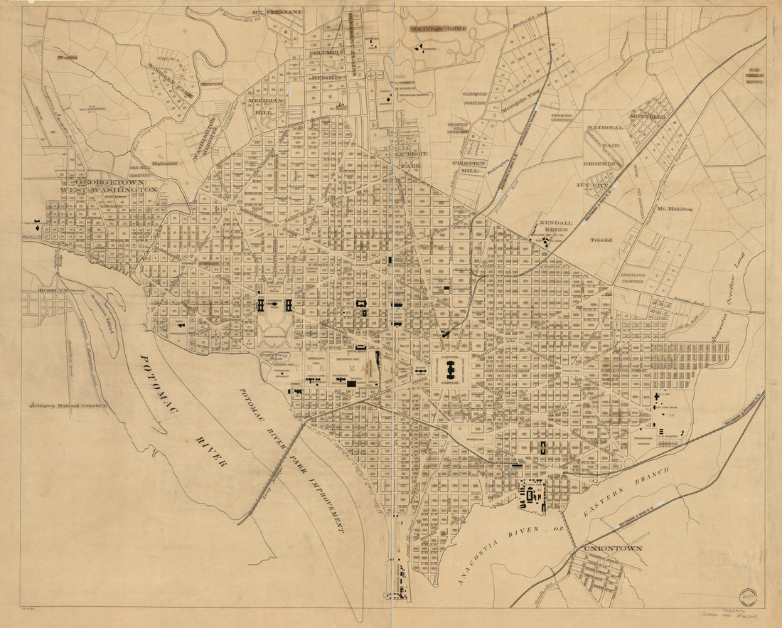 Map of the City of Washington and Suburbs, District of Columbia in 1886
- Regular price
-
From
$34.95 - Regular price
-
$49.99 - Sale price
-
From
$34.95
-
Chart of the Potomac River from Georgetown to Alexandria 1833
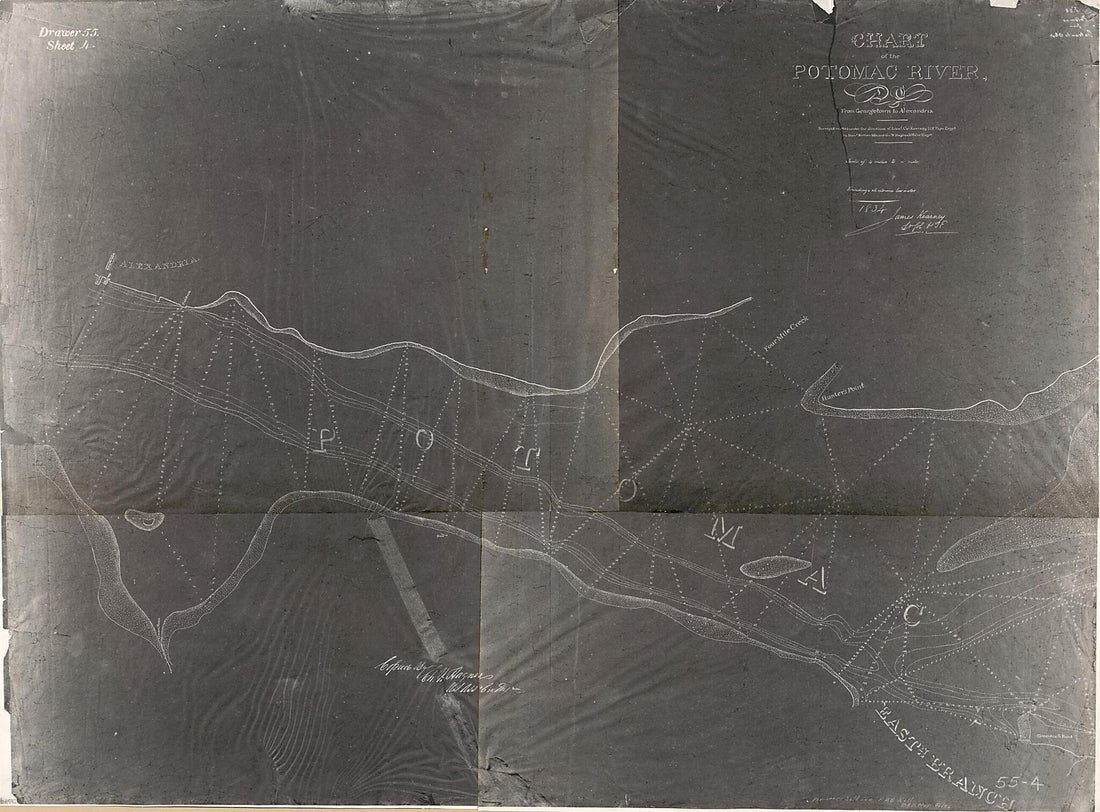 Chart of the Potomac River from Georgetown to Alexandria 1833
- Regular price
-
From
$32.95 - Regular price
-
$51.99 - Sale price
-
From
$32.95
-
The City of Washington and Environs : 1910
 The City of Washington and Environs : 1910
- Regular price
-
From
$19.95 - Regular price
-
$29.95 - Sale price
-
From
$19.95
-
Map of Georgetown In the District of Columbia 1830
 Map of Georgetown In the District of Columbia 1830
- Regular price
-
From
$34.95 - Regular price
-
$49.99 - Sale price
-
From
$34.95
-
City of Washington 1846
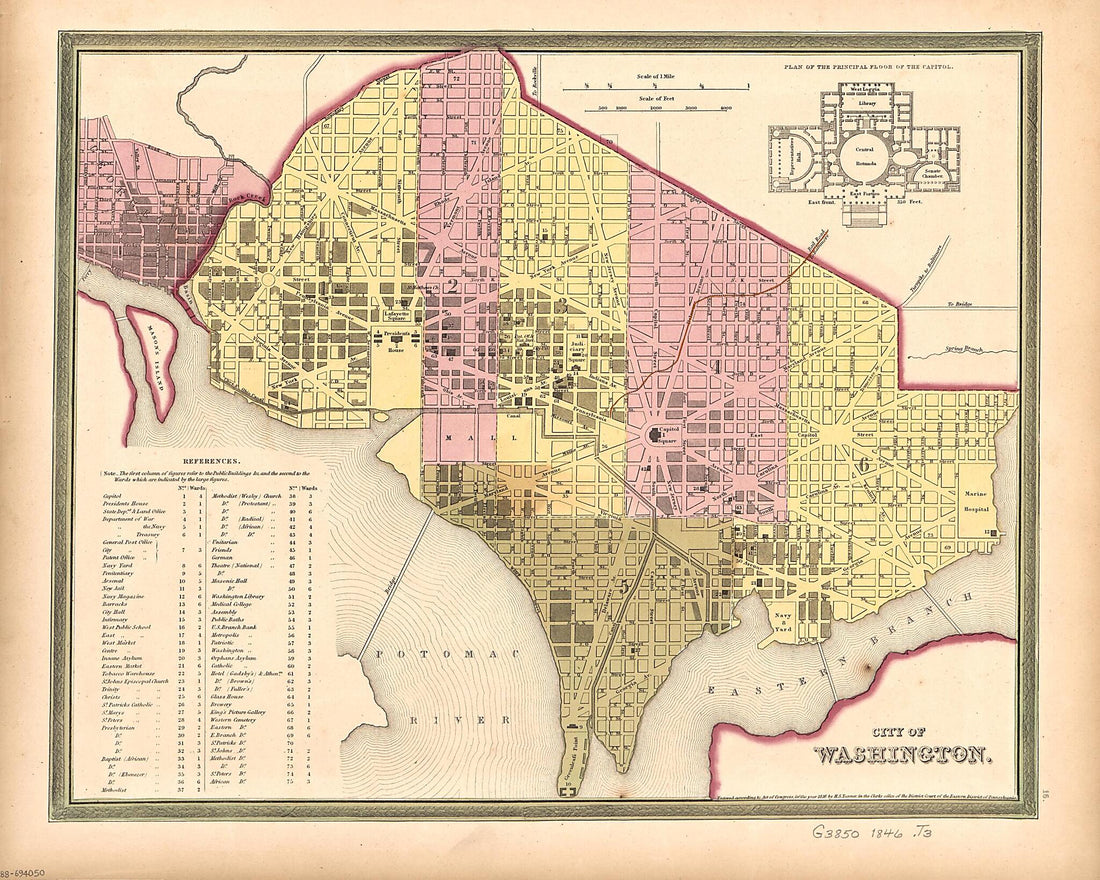 City of Washington 1846
- Regular price
-
From
$24.95 - Regular price
-
$38.95 - Sale price
-
From
$24.95
-
Cadastral Survey Map of a Land Tract Fronting Tennallytown Road North of Pierce's Mill Road, Tenleytown, Washington D.C. 1891
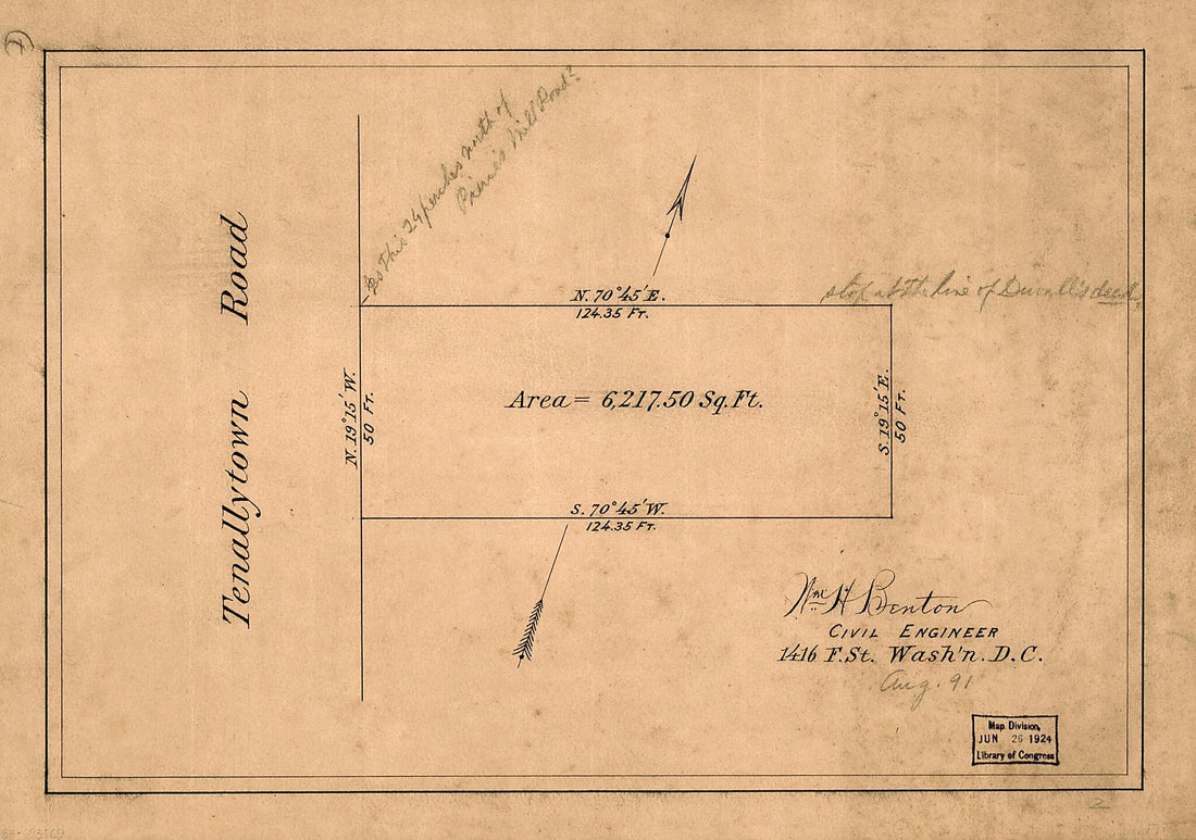 Cadastral Survey Map of a Land Tract Fronting Tennallytown Road North of Pierce's Mill Road, Tenleytown, Washington D.C. 1891
- Regular price
-
From
$19.95 - Regular price
-
$29.95 - Sale price
-
From
$19.95
-
Map to Accompany the Report of the Commissioners D.C. On the Extension of Streets and Avenues of the City of Washington Between Rock Creek and Lincoln Avenue : Within Limits Designated by Senate Bill 2201, 49th Congress, 1st Session, In Response to a ...
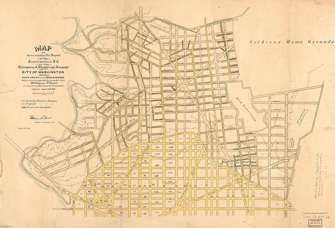 Map to Accompany the Report of the Commissioners D.C. On the Extension of Streets and Avenues of the City of Washington Between Rock Creek and Lincoln Avenue : Within Limits Designated by Senate Bill 2201, 49th Congress, 1st Session, In Response to a ...
- Regular price
-
From
$41.95 - Regular price
-
$66.99 - Sale price
-
From
$41.95
-
The Nation's Capital : Washington D.C. 1905
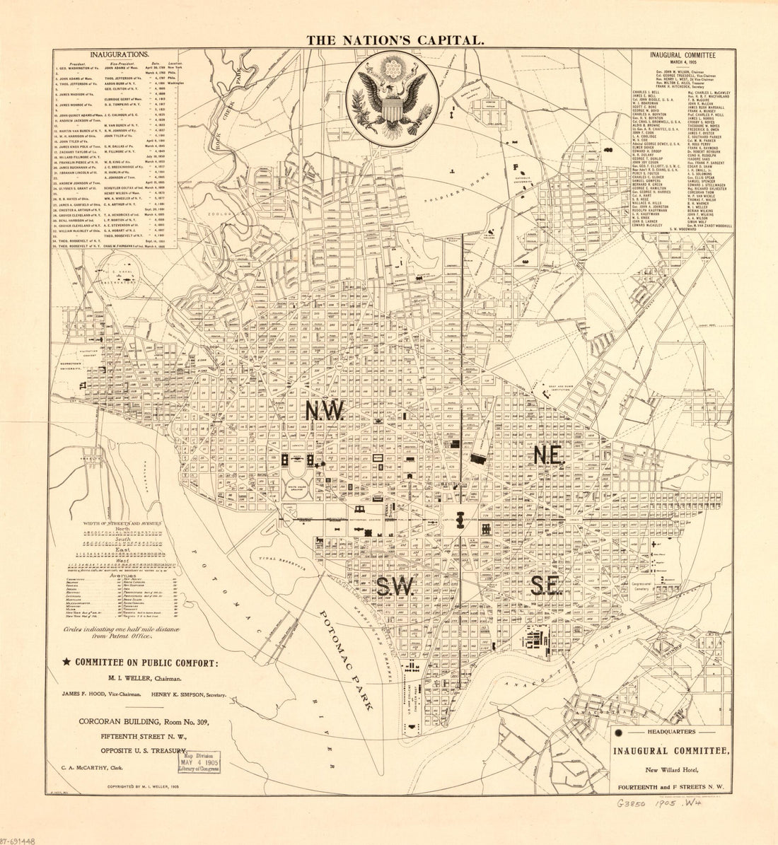 The Nation's Capital : Washington D.C. 1905
- Regular price
-
From
$34.95 - Regular price
-
$49.99 - Sale price
-
From
$34.95


