890 products
-
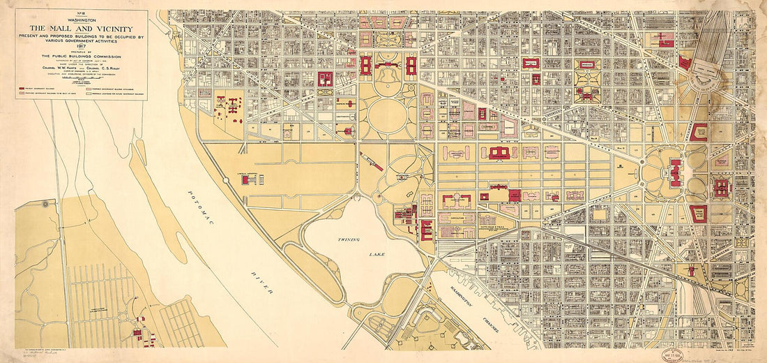 Washington, the Mall and Vicinity, Present and Proposed Buildings to Be Occupied by Various Government Activities : 1917Washington, the Mall and Vicinity, Present and Proposed Buildings to Be Occupied by Various Government Activities : 1917
- Regular price
-
$46.95 $246.95 - Regular price
-
$41.95 - Sale price
-
$46.95 $246.95
-
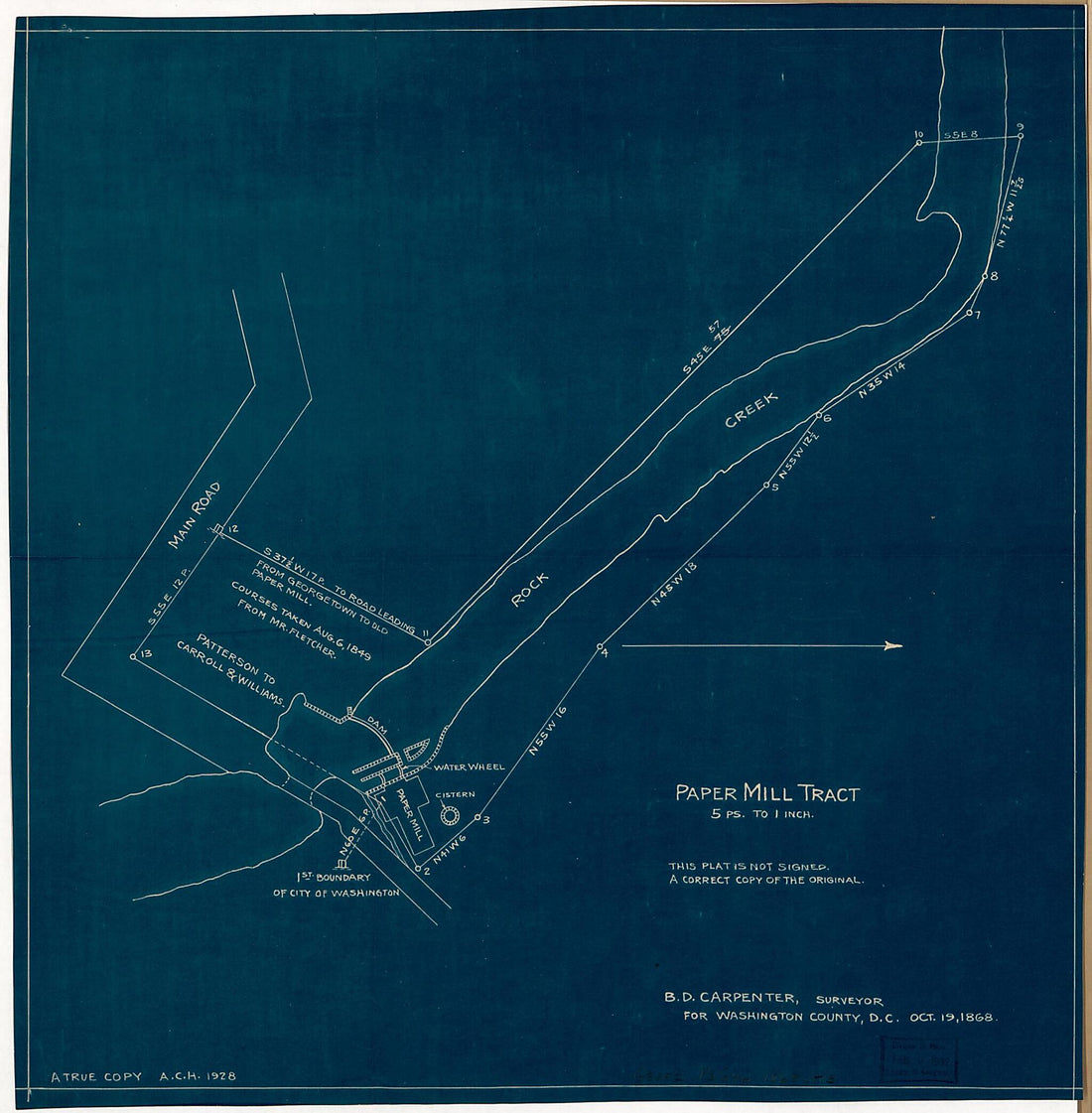 Paper Mill Tract : on Rock Creek, N.W. Washington D.C. 1868Paper Mill Tract : on Rock Creek, N.W. Washington D.C. 1868
- Regular price
-
$39.95 $83.95 - Regular price
-
$30.95 - Sale price
-
$39.95 $83.95
-
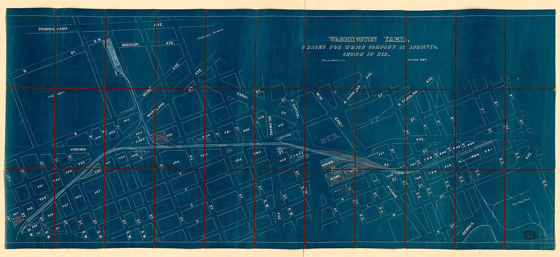 Washington Yard : Tracks for Which Company Is Indicted, Shown In Red 1889Washington Yard : Tracks for Which Company Is Indicted, Shown In Red 1889
- Regular price
-
$46.95 $298.95 - Regular price
-
$41.95 - Sale price
-
$46.95 $298.95
-
 Map Showing Reclamation of Potomac River Estuary at Washington D.C. to Form Harbor and the Potomac Parks 1880Map Showing Reclamation of Potomac River Estuary at Washington D.C. to Form Harbor and the Potomac Parks 1880
- Regular price
-
$39.95 $99.95 - Regular price
-
$29.95 - Sale price
-
$39.95 $99.95
-
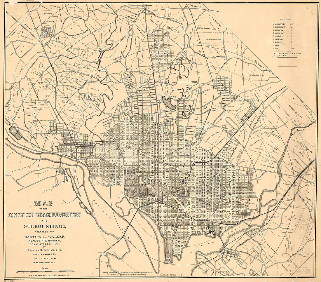 Map of the City of Washington and Surroundings 1890Map of the City of Washington and Surroundings 1890
- Regular price
-
$39.95 $110.95 - Regular price
-
$34.95 - Sale price
-
$39.95 $110.95
-
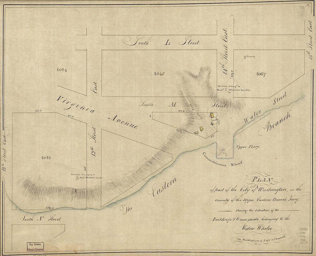 Yards Belonging to the Widow Wheler 1796Yards Belonging to the Widow Wheler 1796
- Regular price
-
$39.95 $83.95 - Regular price
-
$31.95 - Sale price
-
$39.95 $83.95
-
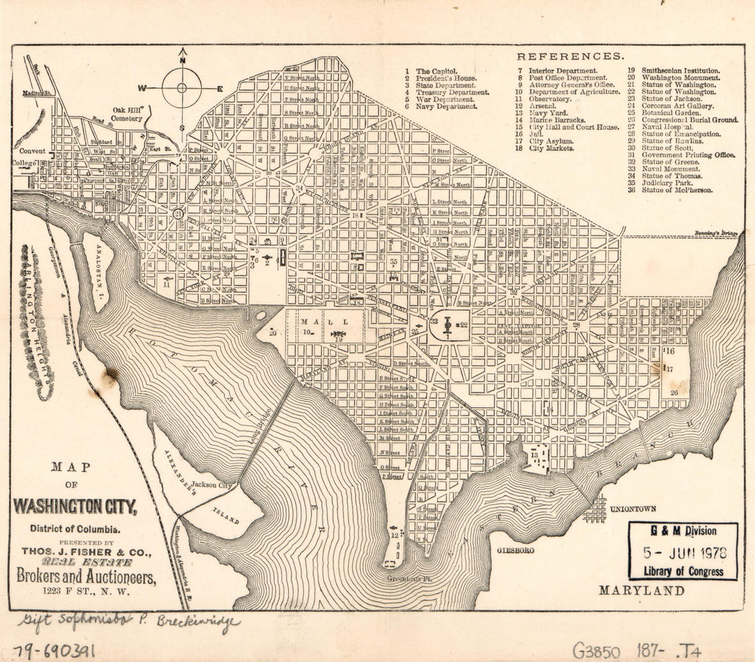 Map of Washington City, District of Columbia 1870Map of Washington City, District of Columbia 1870
- Regular price
-
$39.95 $83.95 - Regular price
-
$29.95 - Sale price
-
$39.95 $83.95
-
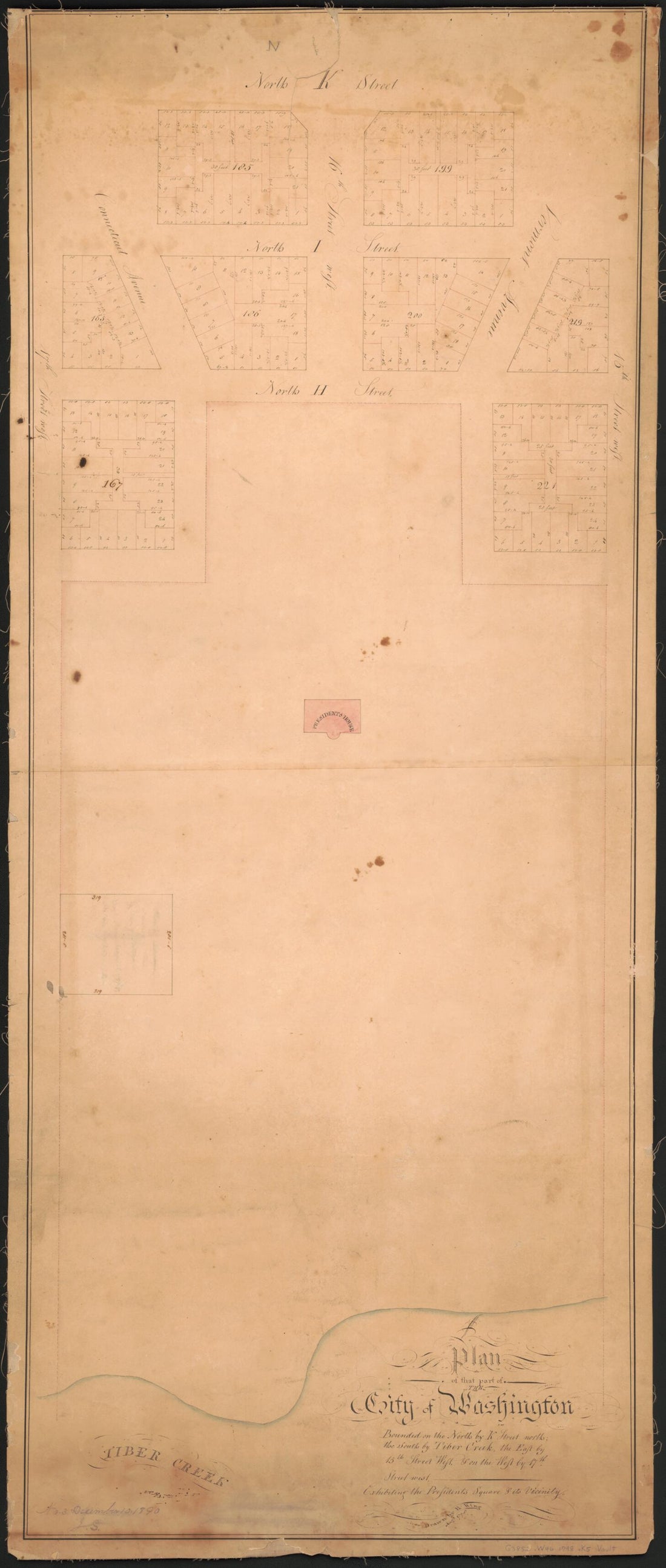 Plan of That Part of the City of Washington Bounded On the North by K Street North, the South by Tiber Creek, the East by 15th Street West, & On the West by 17th Street West : Exhibiting the President's Square & Its Vicinity 1798Plan of That Part of the City of Washington Bounded On the North by K Street North, the South by Tiber Creek, the East by 15th Street West, & On the West by 17th Street West : Exhibiting the President's Square & Its Vicinity 1798
- Regular price
-
$46.95 $99.95 - Regular price
-
$41.95 - Sale price
-
$46.95 $99.95
-
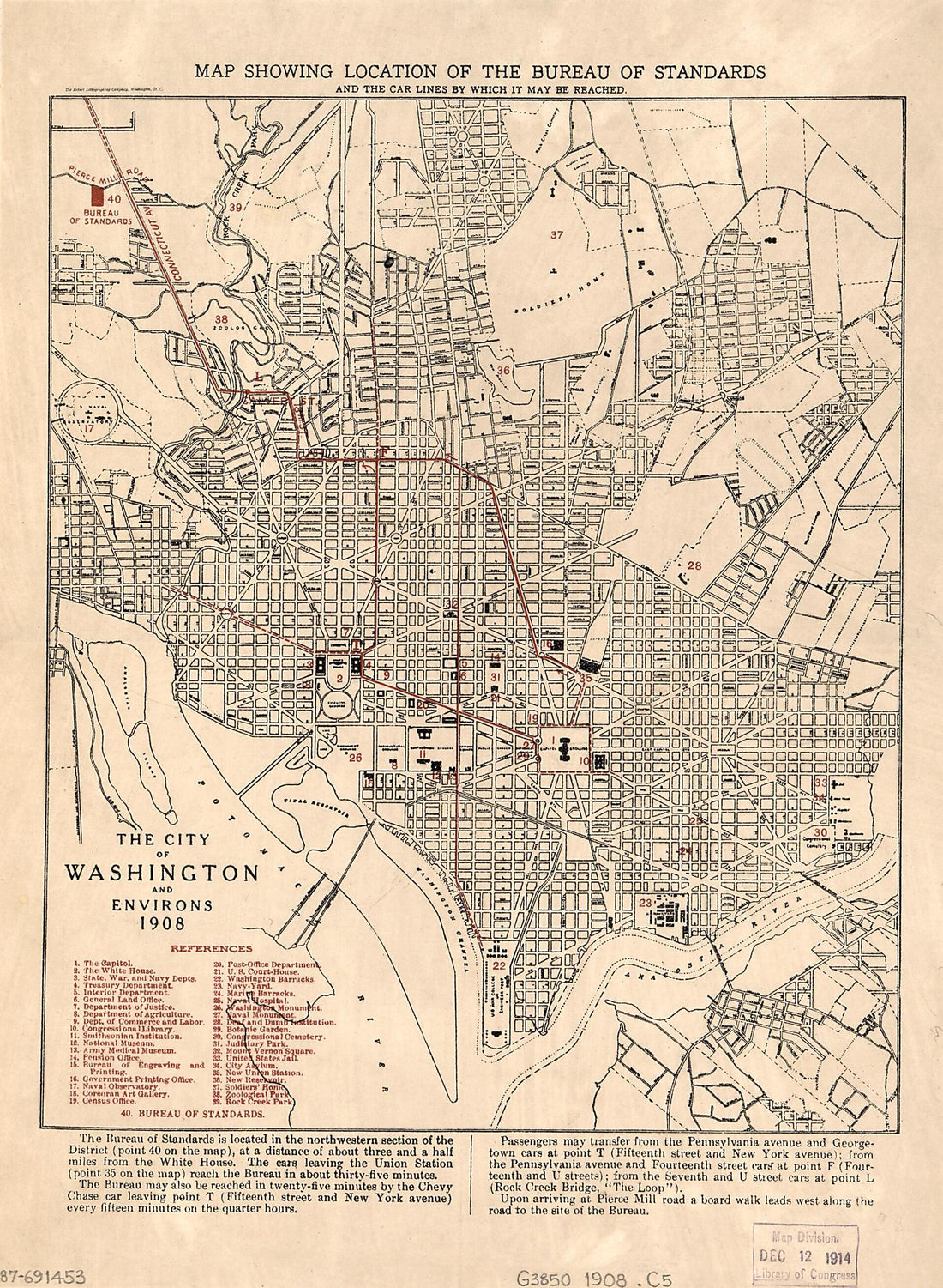 The City of Washington and Environs : 1908The City of Washington and Environs : 1908
- Regular price
-
$39.95 $88.95 - Regular price
-
$29.95 - Sale price
-
$39.95 $88.95
-
 Colton's Georgetown and the City of Washington : the Capital of the United States of America ; Colton's Map Showing Part of Virginia, Maryland, Pennsylvania, New Jersey & New York 1855Colton's Georgetown and the City of Washington : the Capital of the United States of America ; Colton's Map Showing Part of Virginia, Maryland, Pennsylvania, New Jersey & New York 1855
- Regular price
-
$46.95 $111.95 - Regular price
-
$41.95 - Sale price
-
$46.95 $111.95
-
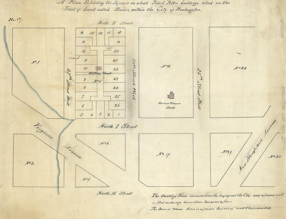 A Plan Exhibiting the Squares On Which Robert Peters Buildings Stood On the Tract of Land Called Mexico, Within the City of Washington 1796A Plan Exhibiting the Squares On Which Robert Peters Buildings Stood On the Tract of Land Called Mexico, Within the City of Washington 1796
- Regular price
-
$39.95 $88.95 - Regular price
-
$29.95 - Sale price
-
$39.95 $88.95
-
 Property Survey of That Part of Prince Georges County, Maryland, Later to Become Central Washington D.C. 1760Property Survey of That Part of Prince Georges County, Maryland, Later to Become Central Washington D.C. 1760
- Regular price
-
$43.95 $154.95 - Regular price
-
$32.95 - Sale price
-
$43.95 $154.95


