Quick links
19716 products
-
Buzzards Bay and Shoals of Nantucket 1778
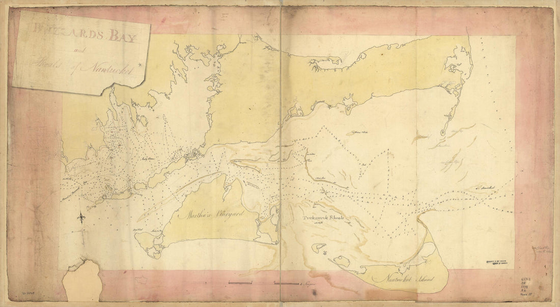 Buzzards Bay and Shoals of Nantucket 1778
- Regular price
-
From
$41.95 - Regular price
-
$66.99 - Sale price
-
From
$41.95
-
中游河工全圖, Complete Map of the Yellow River Embankment Project in 1898
 中游河工全圖, Complete Map of the Yellow River Embankment Project in 1898
- Regular price
-
From
$41.95 - Regular price
-
$66.99 - Sale price
-
From
$41.95
-
Plan of York Town In Virginia and Adjacent Country, Exhibiting the Operations of the American, French & English Armies During the Siege of That Place In Oct. 1781. Surveyed from the 22nd. to the 28th. Octr 1825
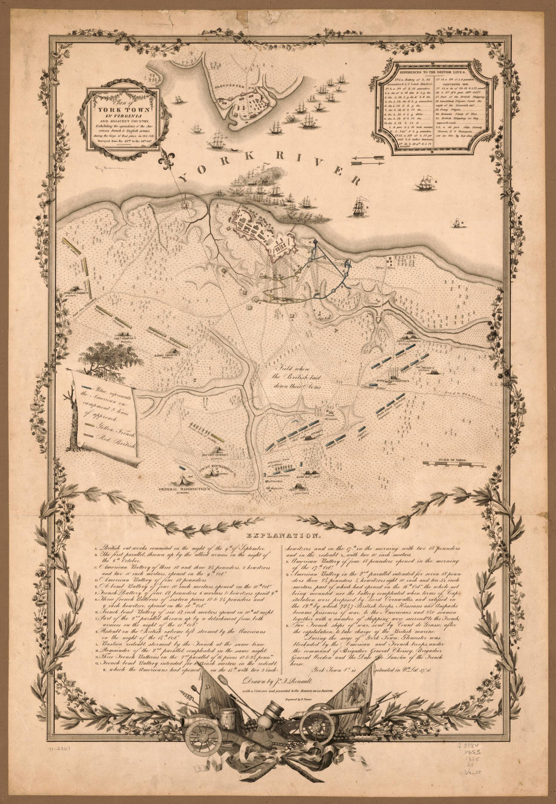 Plan of York Town In Virginia and Adjacent Country, Exhibiting the Operations of the American, French & English Armies During the Siege of That Place In Oct. 1781. Surveyed from the 22nd. to the 28th. Octr 1825
- Regular price
-
From
$41.95 - Regular price
-
$66.99 - Sale price
-
From
$41.95
-
Generalʹnai︠a︡ Karta Mogilevskoĭ Gubernii Sʺ Pokazaniemʺ Pochtovykhʺ I Bolʹshikhʺ Proi︠e︡zzhikhʺ Dorogʺ, Stant︠s︡iĭ I Razstoi︠a︡nii︠a︡ Mezhdu Onymi Verstʺ. (Генеральная Карта Могилевской Губ...
 Generalʹnai︠a︡ Karta Mogilevskoĭ Gubernii Sʺ Pokazaniemʺ Pochtovykhʺ I Bolʹshikhʺ Proi︠e︡zzhikhʺ Dorogʺ, Stant︠s︡iĭ I Razstoi︠a︡nii︠a︡ Mezhdu Onymi Verstʺ. (Генеральная Карта Могилевской Губ...
- Regular price
-
From
$32.95 - Regular price
-
$49.99 - Sale price
-
From
$32.95
-
Map of the Camp of Lt. Col. John R. Campbell On the Bank of the Mississinewa River, December 18, 1812 With Details of Attack by Indians.
 Map of the Camp of Lt. Col. John R. Campbell On the Bank of the Mississinewa River, December 18, 1812 With Details of Attack by Indians.
- Regular price
-
From
$19.95 - Regular price
-
$29.95 - Sale price
-
From
$19.95
-
Topographical Map of Atlantic Co., New Jersey : From Recent and Actual Surveys in 1872
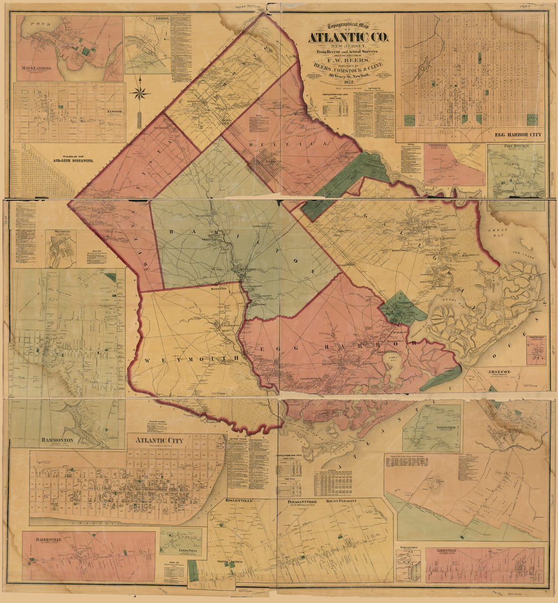 Topographical Map of Atlantic Co., New Jersey : From Recent and Actual Surveys in 1872
- Regular price
-
From
$34.95 - Regular price
-
$49.99 - Sale price
-
From
$34.95
-
Manuscript Maps That Were Assembled by Egbert Benson and Sent In in 1802 to Rufus King, United States Minister to Great Britain, In Order to Facilitate Negotiations Over Disputed International Boundary Between Maine and New Brunswick
 Manuscript Maps That Were Assembled by Egbert Benson and Sent In in 1802 to Rufus King, United States Minister to Great Britain, In Order to Facilitate Negotiations Over Disputed International Boundary Between Maine and New Brunswick
- Regular price
-
From
$41.95 - Regular price
-
$66.99 - Sale price
-
From
$41.95
-
Map of Canajoharie, Montgomery Co., New York 1857
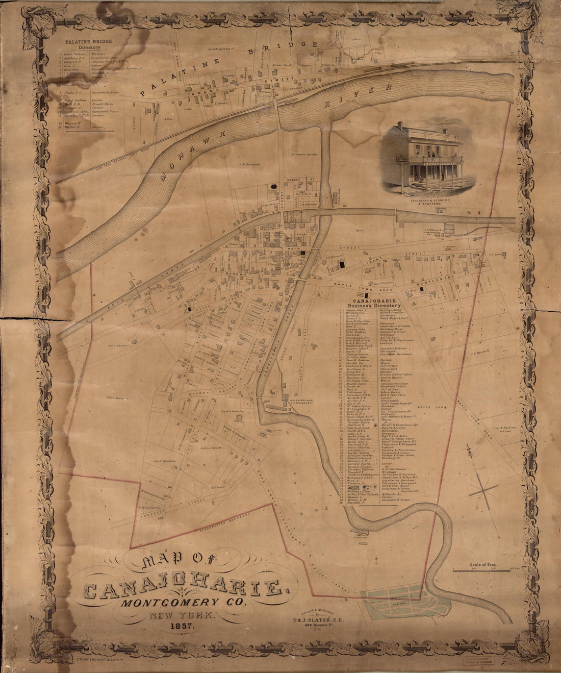 Map of Canajoharie, Montgomery Co., New York 1857
- Regular price
-
From
$34.95 - Regular price
-
$49.99 - Sale price
-
From
$34.95
-
Map of the Environs of Olley Creek Near Marietta, Georgia, July? 1864
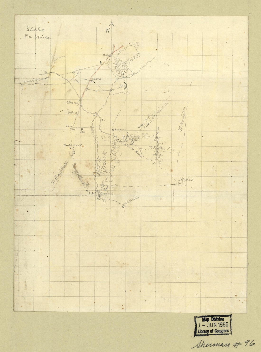 Map of the Environs of Olley Creek Near Marietta, Georgia, July? 1864
- Regular price
-
From
$19.95 - Regular price
-
$29.95 - Sale price
-
From
$19.95
-
Official Railroad Map of Wisconsin, 1900
 Official Railroad Map of Wisconsin, 1900
- Regular price
-
From
$34.95 - Regular price
-
$49.99 - Sale price
-
From
$34.95
-
Topographic Map of the Vesuvius Furnace Iron Estate, Rockbridge Co., Va., 8,000 Acres 1882
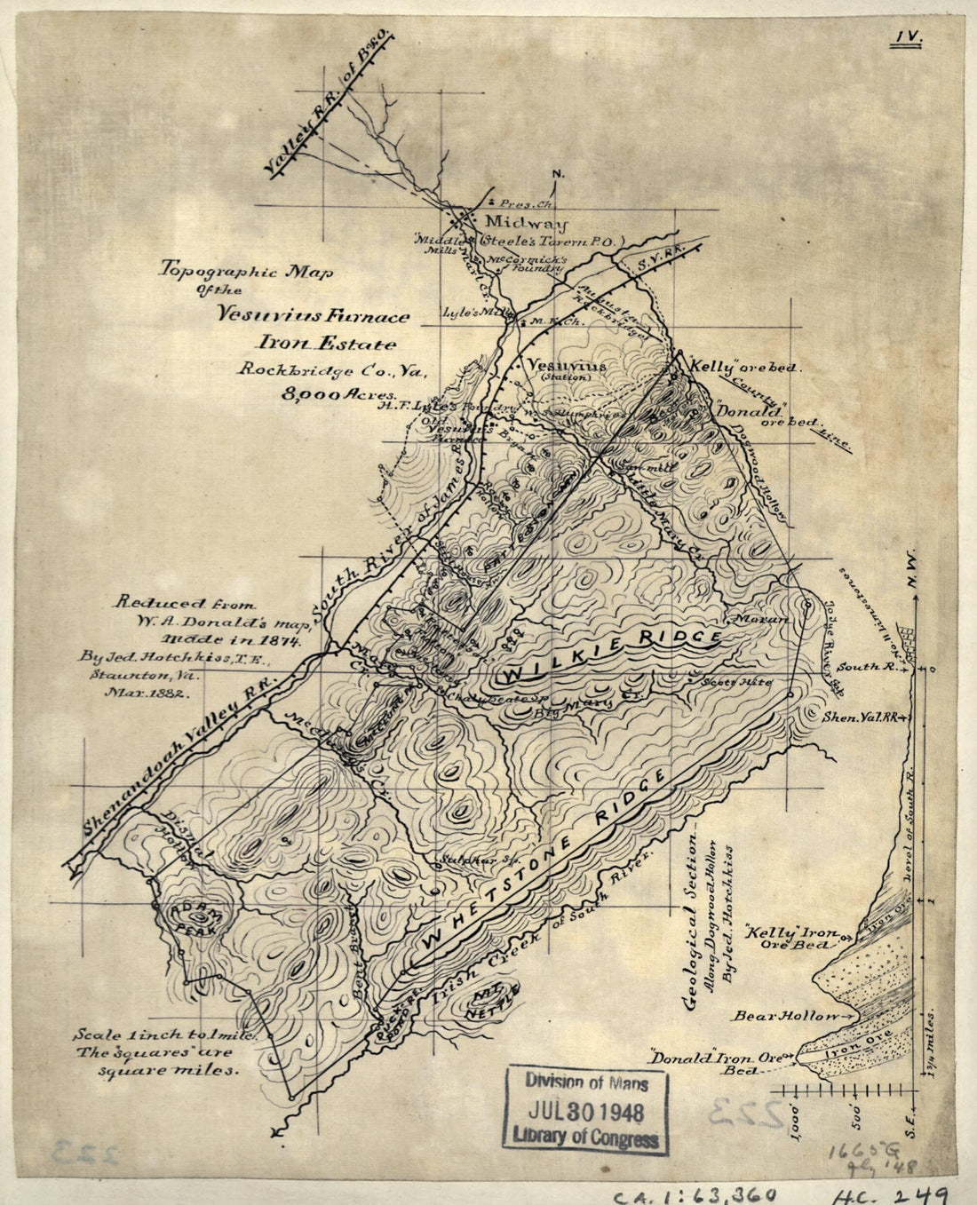 Topographic Map of the Vesuvius Furnace Iron Estate, Rockbridge Co., Va., 8,000 Acres 1882
- Regular price
-
From
$19.95 - Regular price
-
$29.95 - Sale price
-
From
$19.95
-
Carte Figurative Et Approximative De La Houille Anglaise Exportée En 1864
 Carte Figurative Et Approximative De La Houille Anglaise Exportée En 1864
- Regular price
-
From
$41.95 - Regular price
-
$66.99 - Sale price
-
From
$41.95


