Quick links
19716 products
-
General Map of Charleston Harbor, South Carolina : Showing Rebel Defences sic and Obstructions 1865
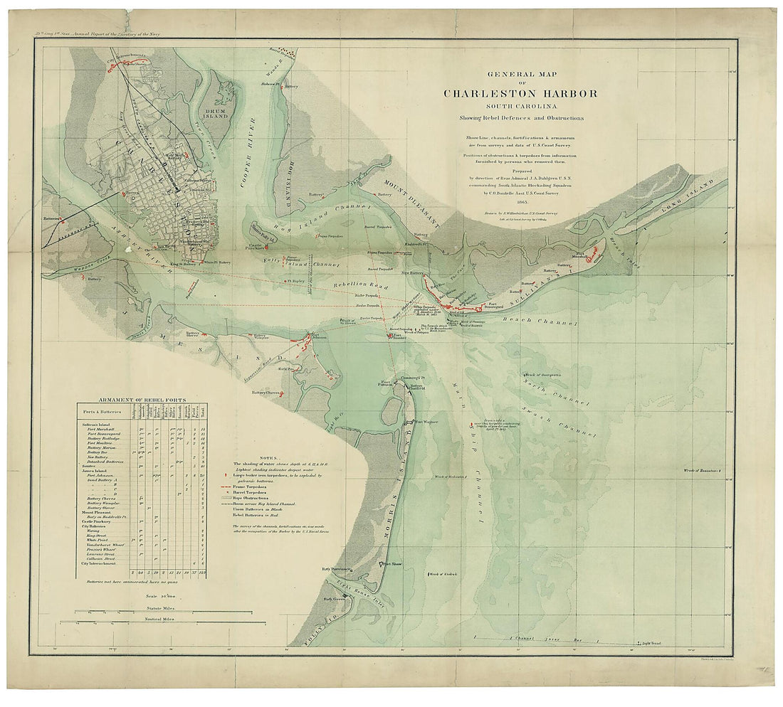 General Map of Charleston Harbor, South Carolina : Showing Rebel Defences sic and Obstructions 1865
- Regular price
-
From
$34.95 - Regular price
-
$49.99 - Sale price
-
From
$34.95
-
Boston, Its Environs and Harbour, With the Rebels Works Raised Against That Town In 1775 1778
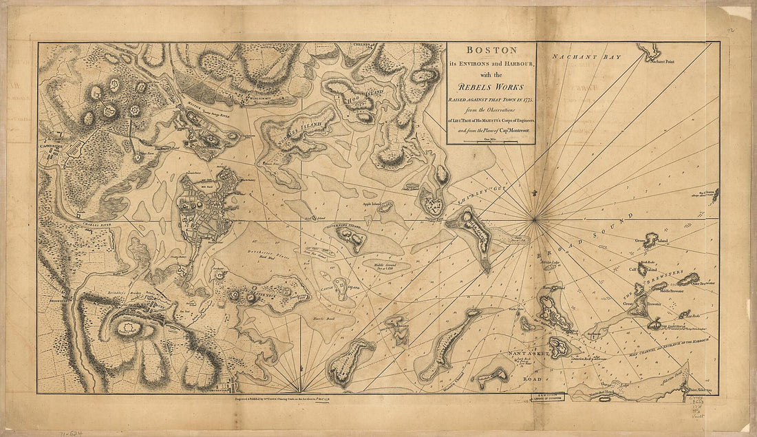 Boston, Its Environs and Harbour, With the Rebels Works Raised Against That Town In 1775 1778
- Regular price
-
From
$41.95 - Regular price
-
$66.99 - Sale price
-
From
$41.95
-
J. Sage & Son's New & Reliable Rail Road Map Comprising All the Railroads of the United States and Canadas With Their Stations and Distances 1858
 J. Sage & Son's New & Reliable Rail Road Map Comprising All the Railroads of the United States and Canadas With Their Stations and Distances 1858
- Regular price
-
From
$34.95 - Regular price
-
$49.99 - Sale price
-
From
$34.95
-
Map of an Area of Spanish West Florida Bounded On the East by Lake Pontchartrain and the West by the Comite River 1805
 Map of an Area of Spanish West Florida Bounded On the East by Lake Pontchartrain and the West by the Comite River 1805
- Regular price
-
From
$19.95 - Regular price
-
$29.95 - Sale price
-
From
$19.95
-
New Map of Burlington County : from Actual Surveys & Official Records 1859
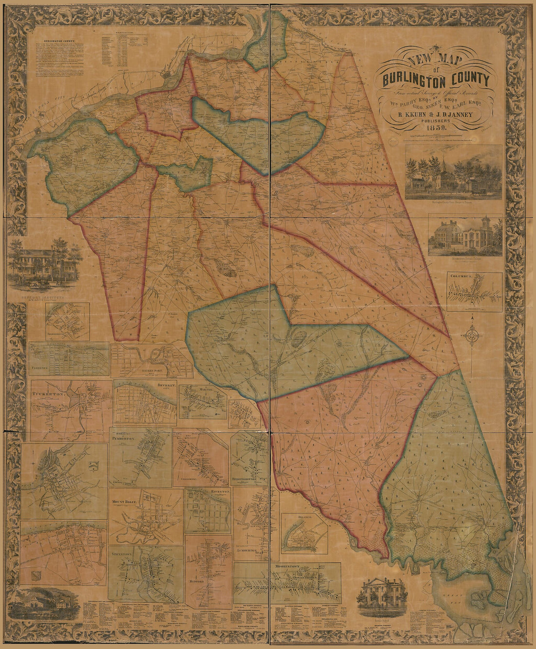 New Map of Burlington County : from Actual Surveys & Official Records 1859
- Regular price
-
From
$34.95 - Regular price
-
$49.99 - Sale price
-
From
$34.95
-
Asiae Recentissima Delineatio, Qua Status Et Imperia Totius Orientis Unacum Orientalibus Indiis Exhibentur in 1700
 Asiae Recentissima Delineatio, Qua Status Et Imperia Totius Orientis Unacum Orientalibus Indiis Exhibentur in 1700
- Regular price
-
From
$34.95 - Regular price
-
$49.99 - Sale price
-
From
$34.95
-
New Map of the West Indies for the History of the British Colonies in 1700
 New Map of the West Indies for the History of the British Colonies in 1700
- Regular price
-
From
$34.95 - Regular price
-
$49.99 - Sale price
-
From
$34.95
-
Map of Galveston County, Texas 1879
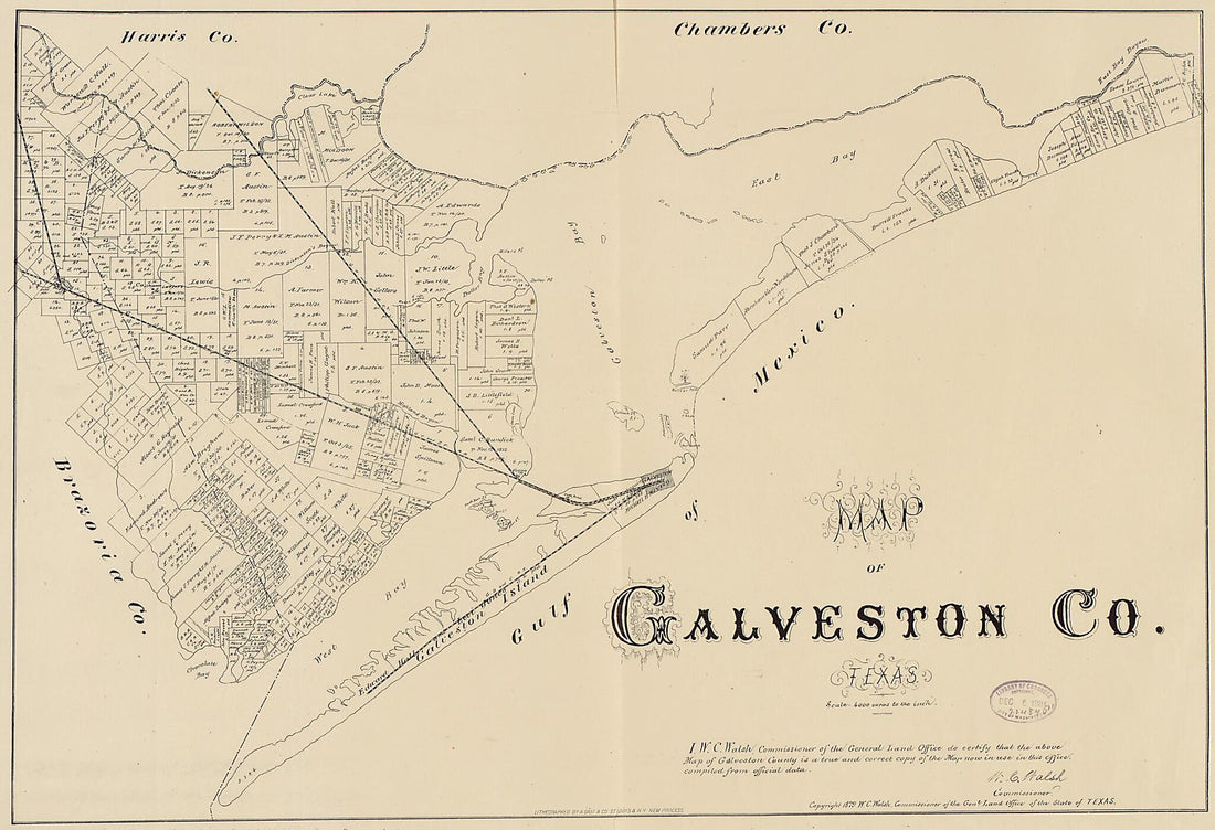 Map of Galveston County, Texas 1879
- Regular price
-
From
$41.95 - Regular price
-
$66.99 - Sale price
-
From
$41.95
-
Sketches of Portions of Madison County, Va. 1860
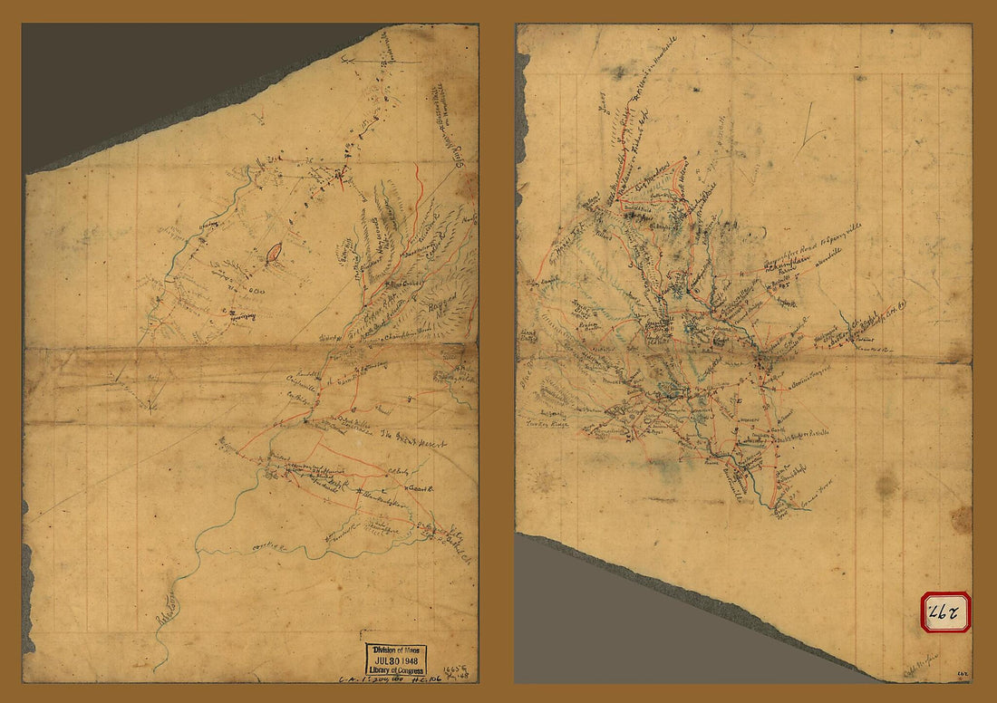 Sketches of Portions of Madison County, Va. 1860
- Regular price
-
From
$41.95 - Regular price
-
$66.99 - Sale price
-
From
$41.95
-
General Plan Showing Location of Ship Canal from Atlantic to Pacific / A.G. Menacol, Chief Engineer 1890
 General Plan Showing Location of Ship Canal from Atlantic to Pacific / A.G. Menacol, Chief Engineer 1890
- Regular price
-
From
$41.95 - Regular price
-
$66.99 - Sale price
-
From
$41.95
-
Government Map of Nicaragua : From the Latest Surveys Ordered by President Patricio Rivas and Genl. William Walker ; Executed Under the Supervision of the Señor Fermín Ferrer, Governor of the Western Department, in 1856
 Government Map of Nicaragua : From the Latest Surveys Ordered by President Patricio Rivas and Genl. William Walker ; Executed Under the Supervision of the Señor Fermín Ferrer, Governor of the Western Department, in 1856
- Regular price
-
From
$32.95 - Regular price
-
$51.99 - Sale price
-
From
$32.95
-
Carte Du Mexique Et De La Nouvelle Espagne : Contenant La Partie Australe De L'Amérique Septentle in 1779
 Carte Du Mexique Et De La Nouvelle Espagne : Contenant La Partie Australe De L'Amérique Septentle in 1779
- Regular price
-
From
$32.95 - Regular price
-
$51.99 - Sale price
-
From
$32.95


